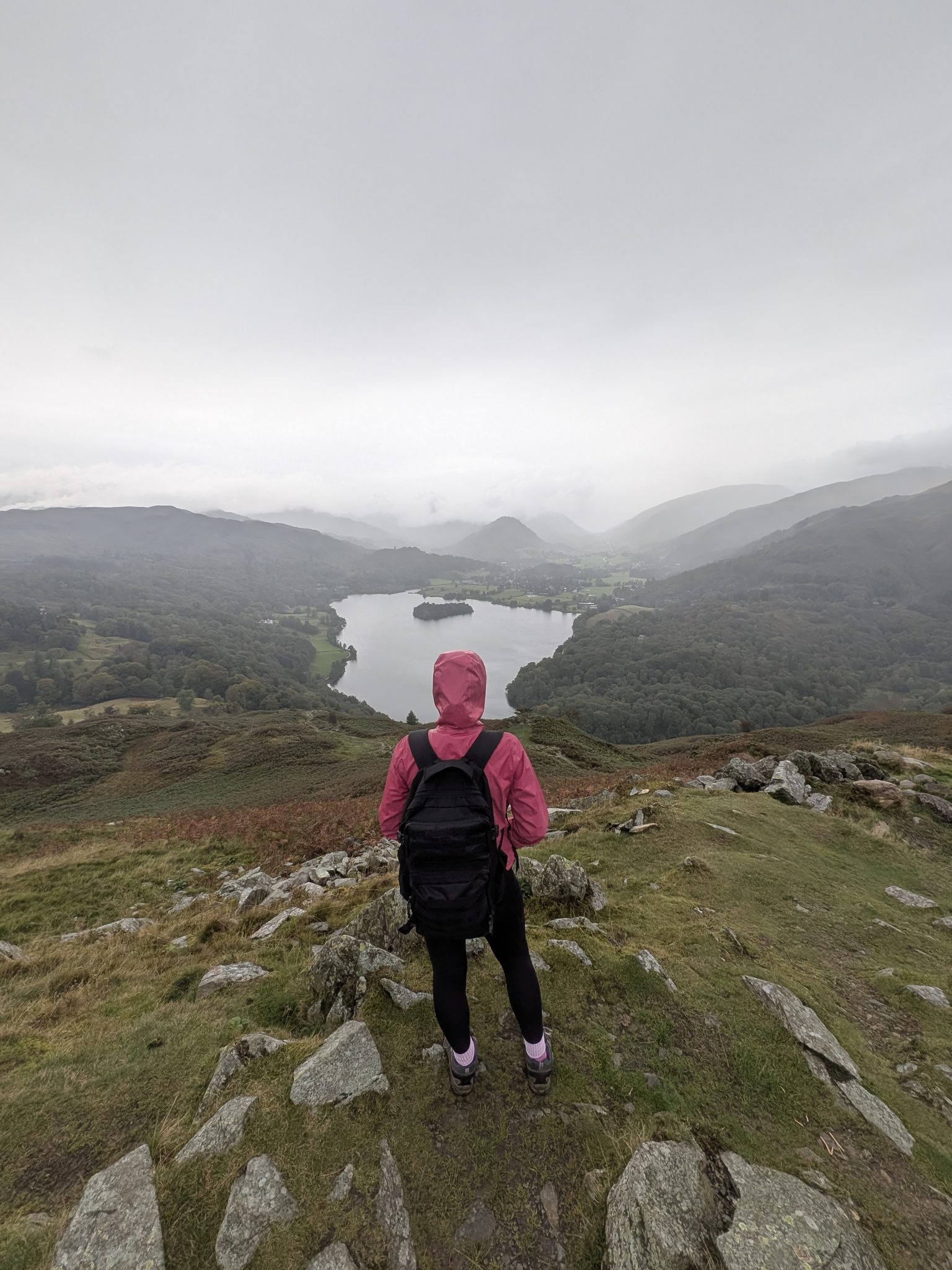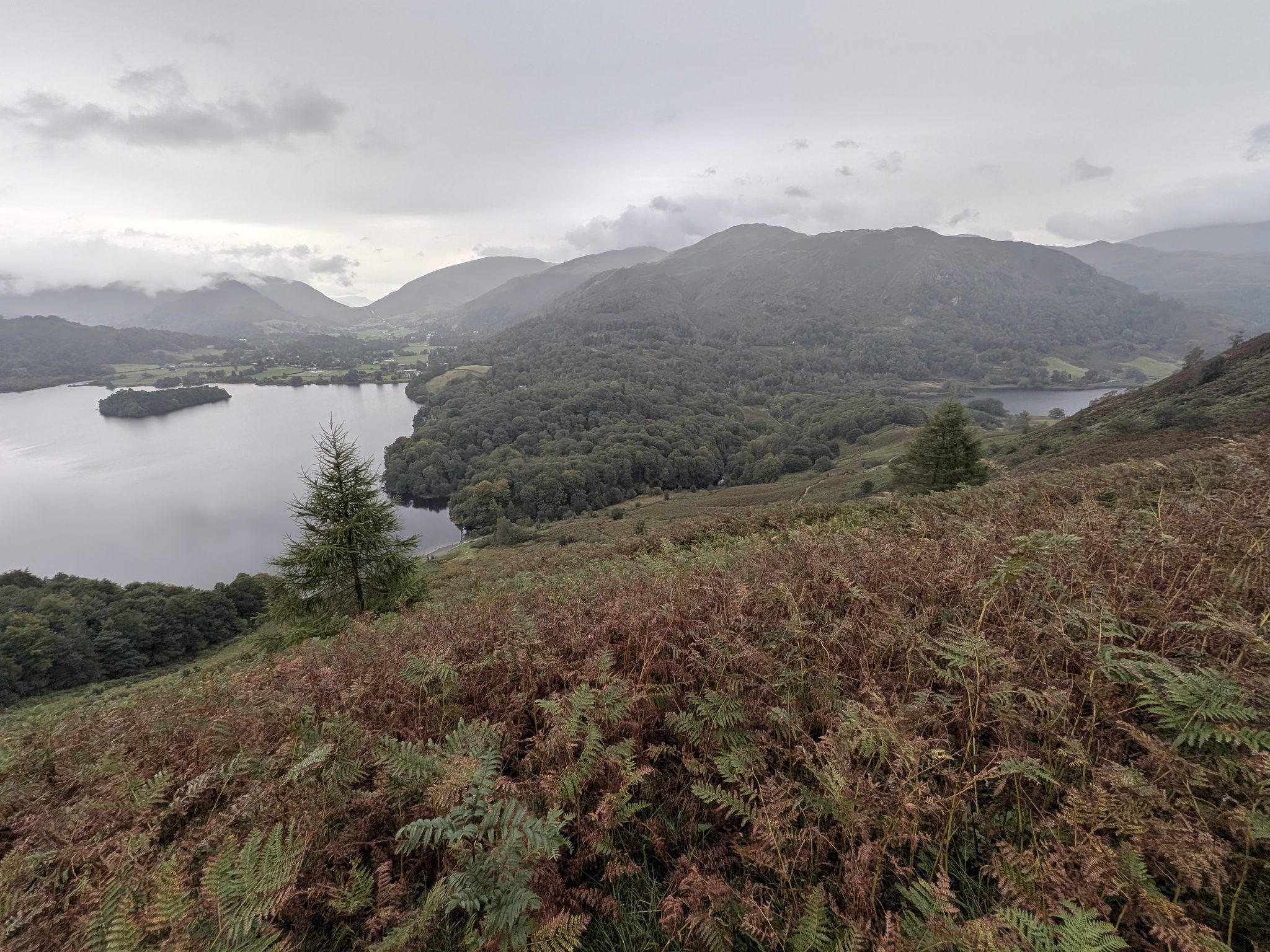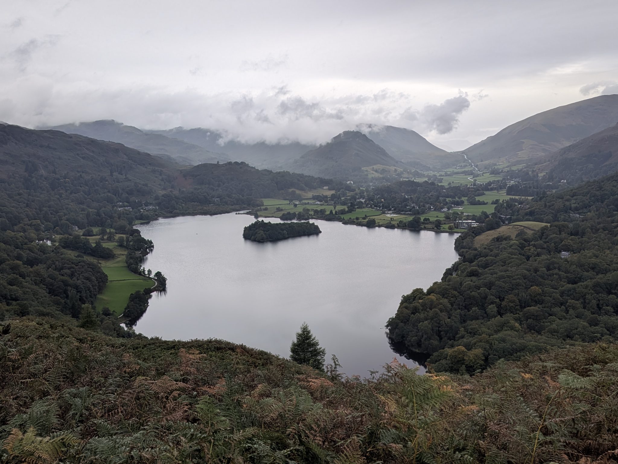
A little fell with an enormous view. Loughrigg gives you Grasmere, Rydal Water and Windermere from an almost lunar, tarn-dotted summit — for barely an hour's climb. One of the best effort-to-reward walks in the Lakes.
Height · 1,099 ft
To the summit
Full circuit · 10 km
Difficulty · easy–mod
Why Loughrigg
At 335 m (1,099 ft) Loughrigg Fell is a modest hill wedged between Ambleside, Grasmere and Rydal — but it punches far above its height. From the top you look down on Grasmere, Rydal Water and Windermere at once, with the Coniston Fells and the Helvellyn range filling the skyline. It's a single Wainwright, a Birkett, a Marilyn and a HuMP, and for generations of walkers it has been the fell that first hooked them on the Lakes.
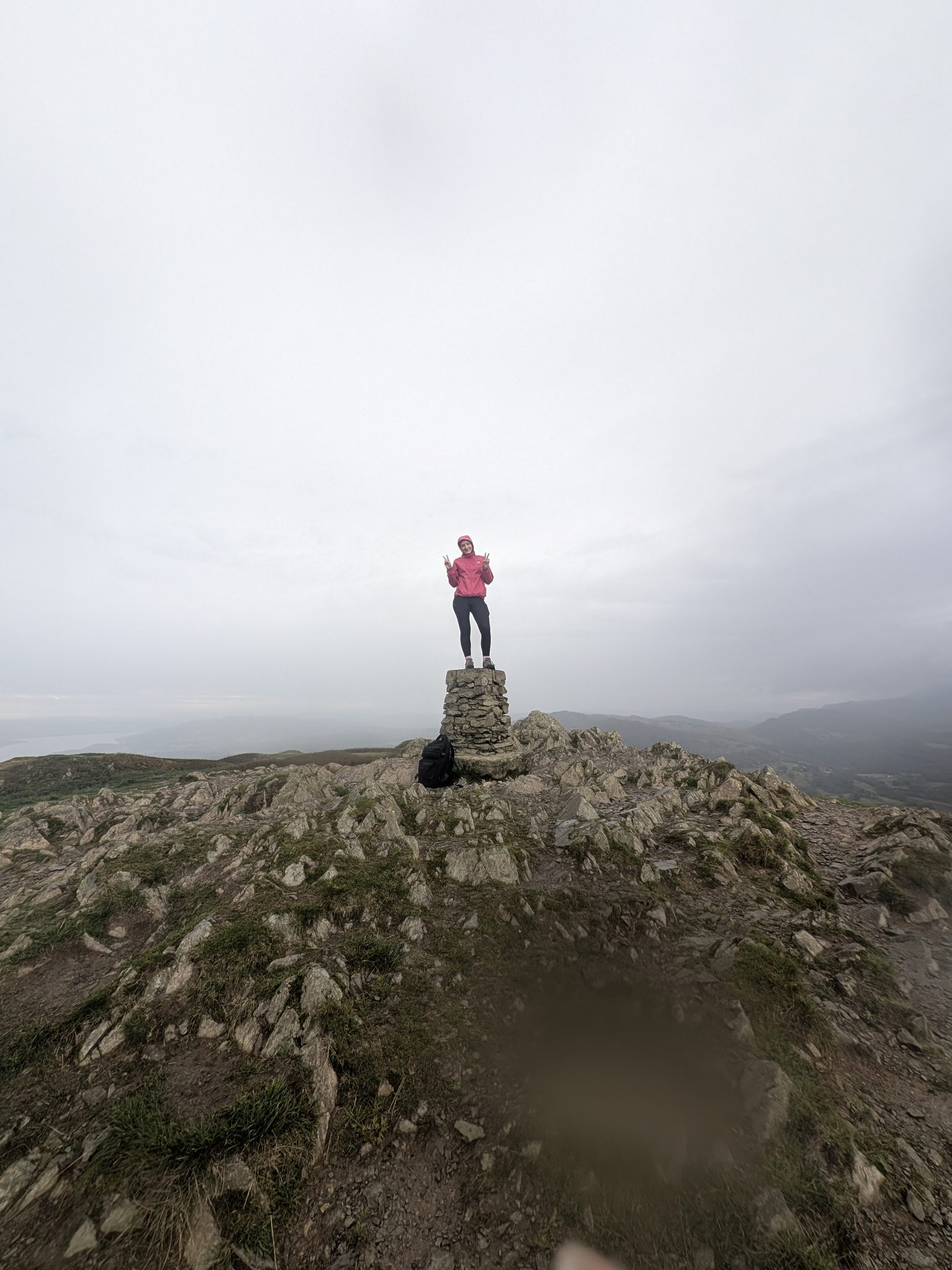
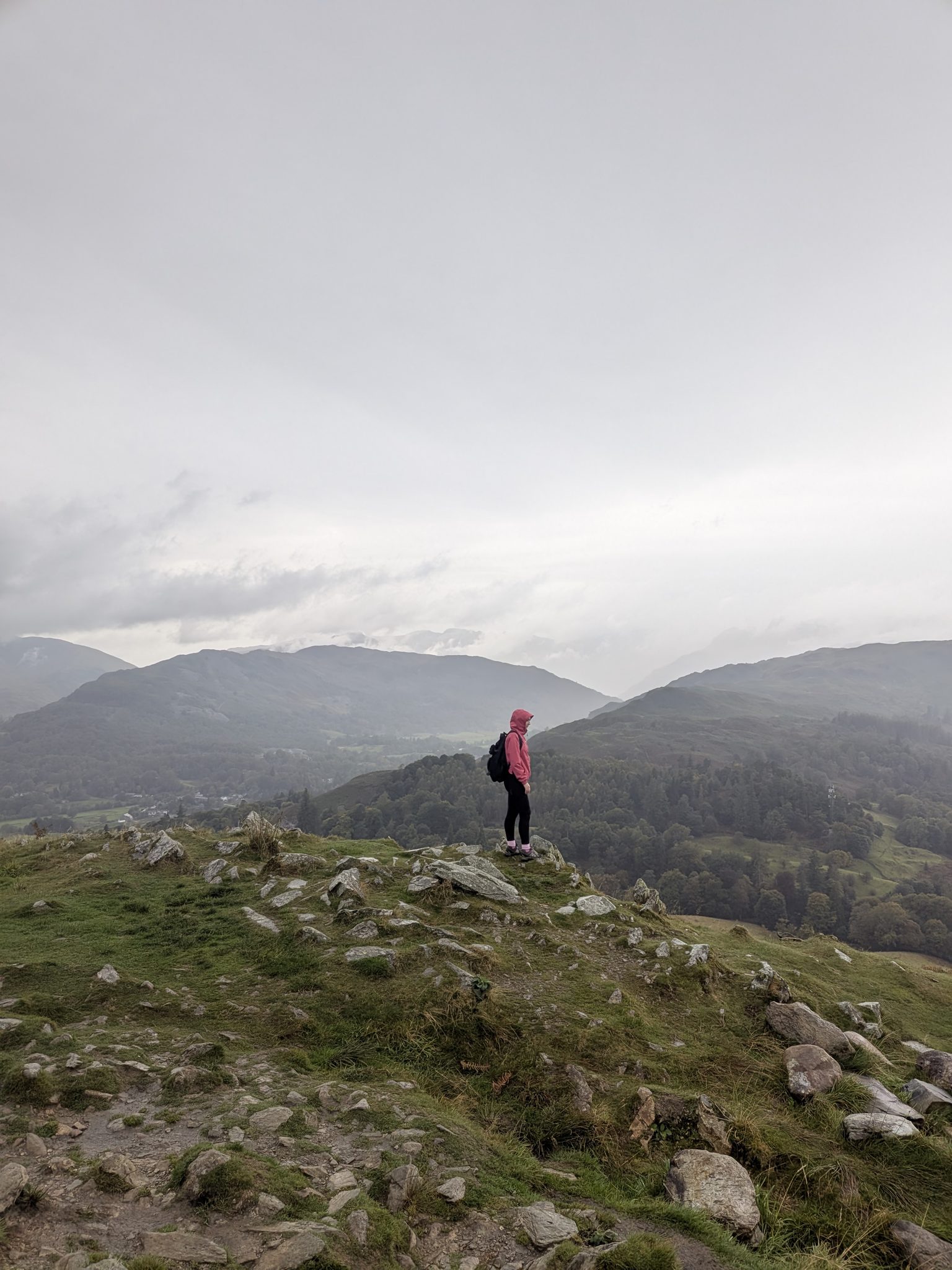
The summit itself is a surprise: a rolling, almost lunar plateau of little rocky knolls and small tarns with a trig point perched on the highest. There's no single "path to the top" — that's part of the charm on a clear day, and the one real caution on a misty one. Most people combine the fell with the airy Loughrigg Terrace and a look at Rydal Cave, making a half-day loop out of a short climb. It's dog-friendly throughout and reachable by bus, so you don't need a car to do it.
Choose your route
There's no single "right" way up — pick by where you're parking and how long you want to be out.
The classic. From the town centre through Rothay Park, up onto Loughrigg Terrace, over the summit and back past Rydal Cave and the Under Loughrigg lane. About 6 miles / 10 km, 3–4 hours. The longest start, but the richest day — and fully bus-accessible.
No car needed · start in the middle of Ambleside
The fastest way to the top. From Pelter Bridge near Rydal, climb to Loughrigg Terrace and up to the summit — on top in about an hour, a full loop of roughly 4 miles / 2.5 hours. The car park is small and fills early.
Pelter Bridge, near Rydal · arrive early
A good alternative when Pelter Bridge is full, starting from White Moss between Rydal and Grasmere. Similar short ascent onto the Terrace and up, with the option to link in Grasmere village at the end.
White Moss car park · larger, still busy
Distances and times are for a steady walker with stops. See Ambleside walks for how Loughrigg fits with the other routes from town.
The summit & the view
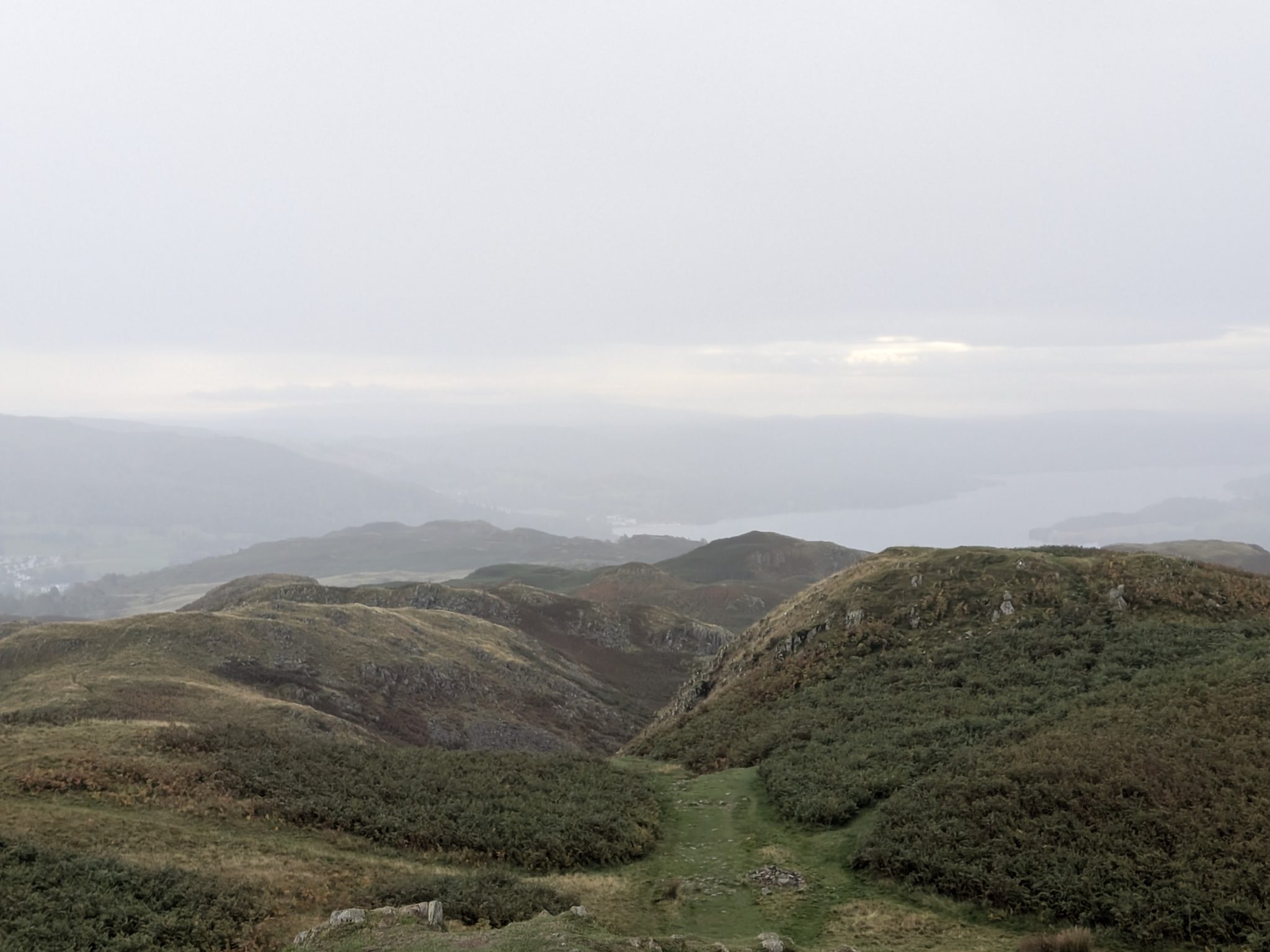
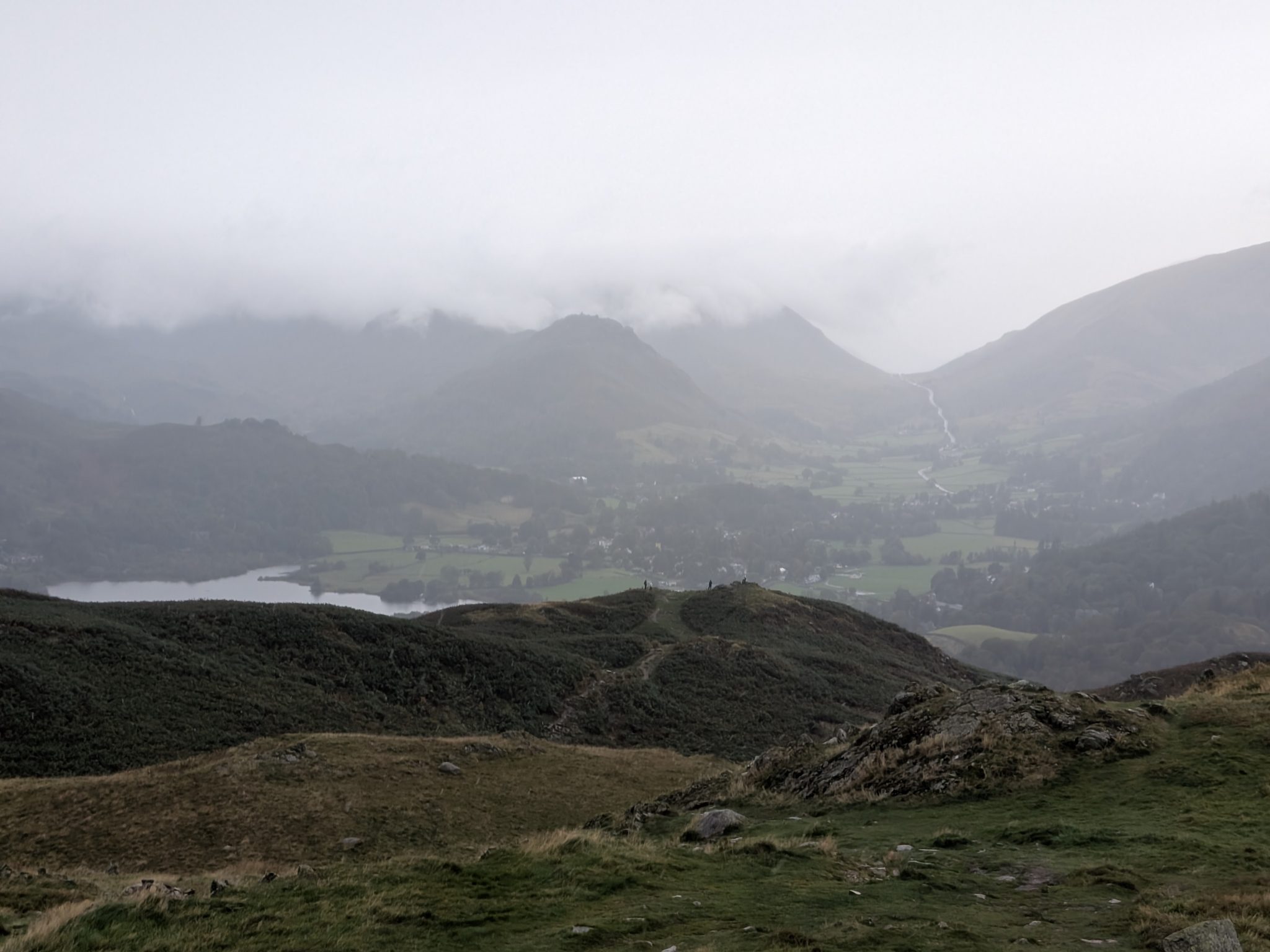
The summit of Loughrigg is a playground of grassy hollows, rocky knolls and small tarns, with a trig point on the highest knoll. The reward is the panorama: Grasmere and Rydal Water directly below, Windermere stretching south, Ambleside at your feet, and the Coniston Fells and Helvellyn range around the horizon. It's one of the great orientation viewpoints of the southern-central Lakes — the sort of top where you sit down, pick out the fells, and stay longer than you meant to.
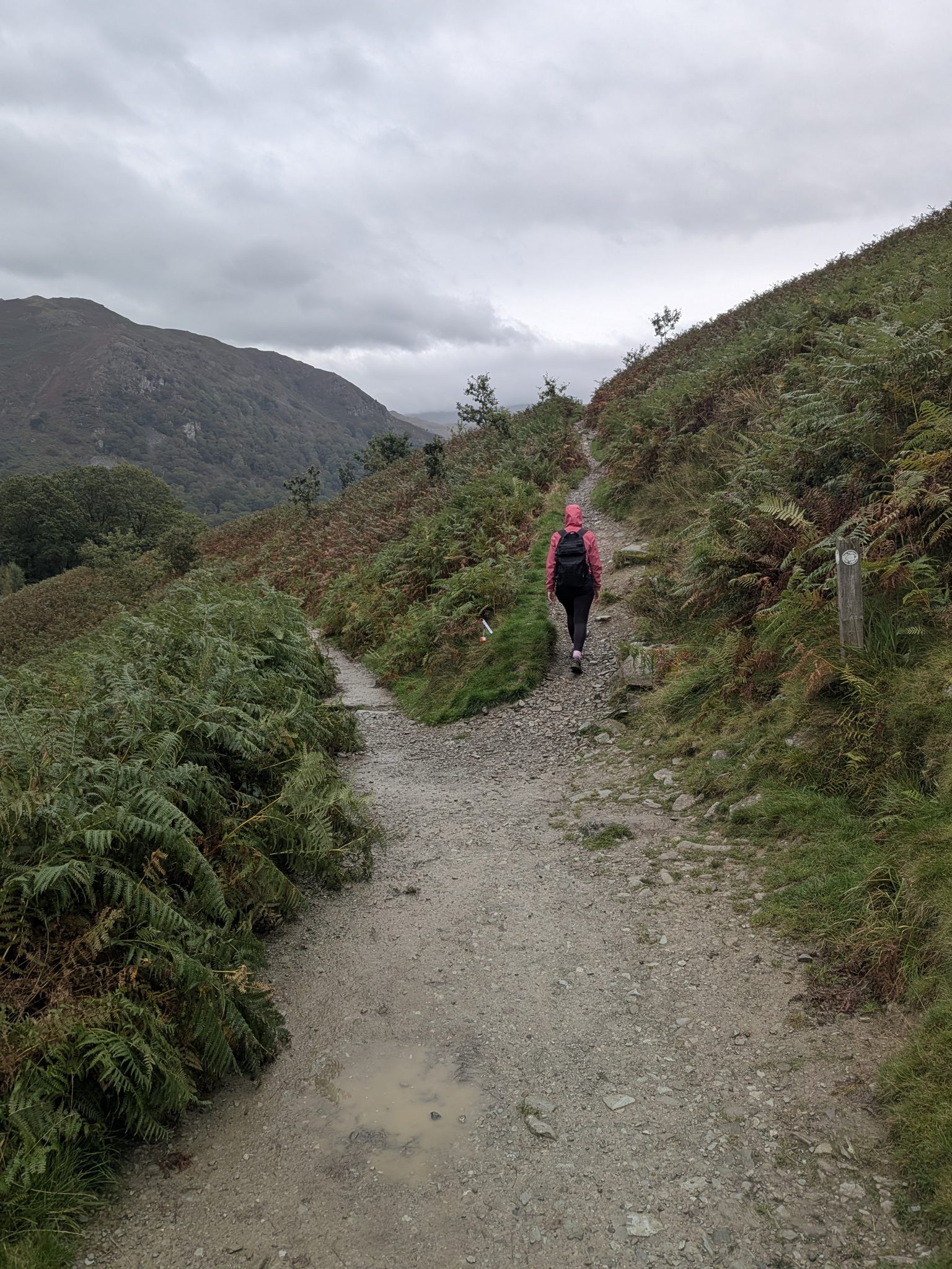
The famous airy path that traverses the fell's northern flank high above Grasmere and Rydal Water. Broad, gentle and almost level, the Terrace is a destination in its own right — many people walk it without ever going to the summit. It links the Grasmere and Rydal ends of the fell and is the natural spine of every route here.
On the circuit
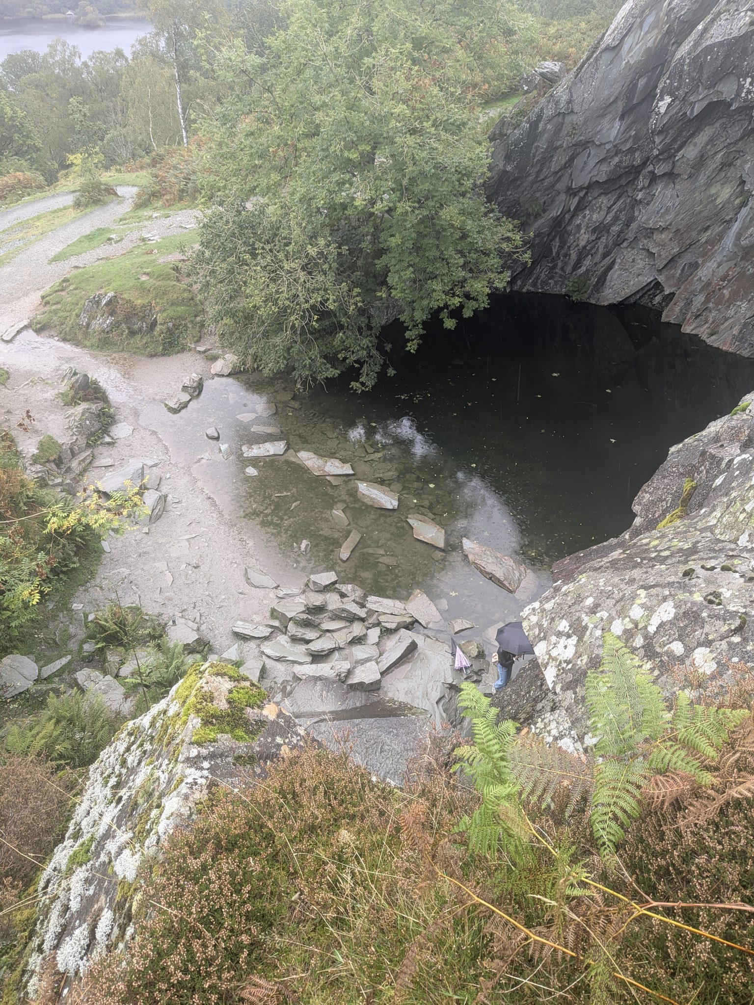
The full Ambleside circuit passes Rydal Cave, the huge free slate cavern above Rydal Water — a natural place to pause. It's a former quarry, not a natural cave; the stepping-stone pool at its mouth is shallow, and there's an occasional risk of falling blocks, so keep clear of the walls. We cover it in full on its own page.
Read the Rydal Cave guidePhoto: loughrigg-terrace.jpg — drop a real image into /images/ via cPanel.
Getting there & parking
The closest start for the short loop, just off the A591 near Rydal. Small and quick to fill on fine days; LDNPA pay-and-display charges apply. Cross the river and climb toward Loughrigg Terrace.
Postcodes near Rydal vary between sources — use the map link to be sure.
Larger, on the Grasmere side between Rydal and Grasmere — a reliable back-up when Pelter Bridge is full, with an easy walk in to the Terrace.
Start in the centre of Ambleside and do the full circuit car-free. Regular buses reach Ambleside from Windermere, Keswick and Kendal, making the Rothay Park start the greenest option.
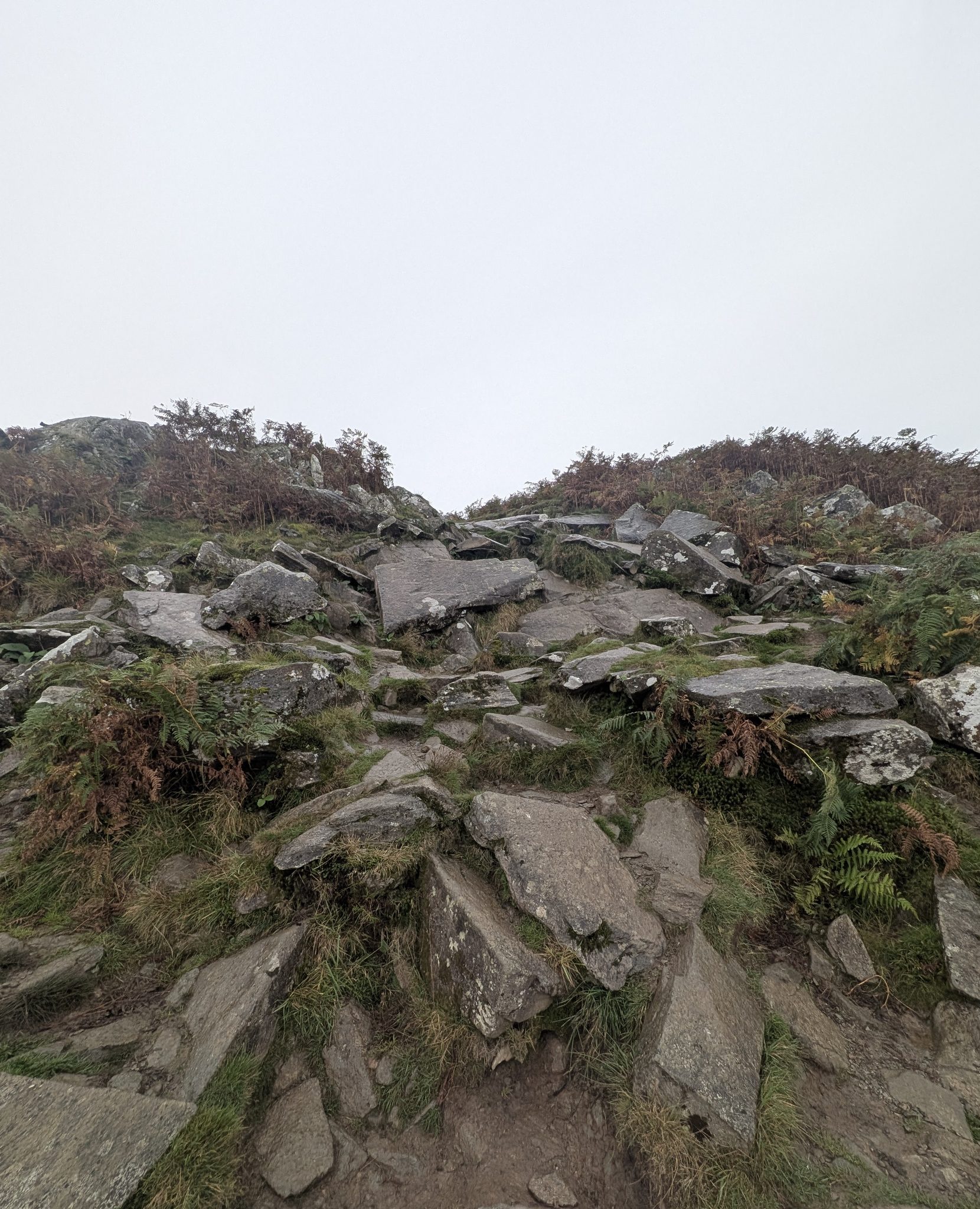
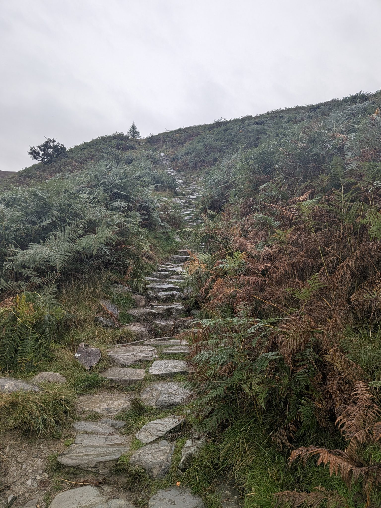
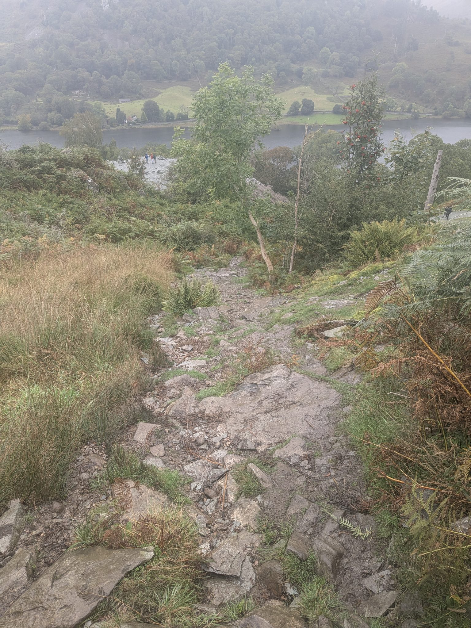
Ambleside travel & parkingLoughrigg is a gentle walk with just one steeper, rougher pull to the top, no scrambling and no exposure. The genuine catch is navigation: the summit is a confusing maze of knolls, criss-crossing paths and small tarns, and it's not a place to be caught in mist without good navigation. Carry a map and compass (and know how to use them), wear proper footwear, and check the forecast before you set off. On a clear day, none of this will trouble you.
"Everybody likes Loughrigg."
— Alfred Wainwright, A Pictorial Guide to the Lakeland Fells, Book Three: The Central Fells
Wainwright devoted 16 pages to this little hill — far more than its height warranted — and reckoned it had served countless walkers as their introduction and inspiration to the fells. A century of visitors have proved him right.
Three of a kind
Wainwright grouped a handful of small hills as each being their town's own favourite viewpoint. Loughrigg is that hill for Ambleside — just as Latrigg is for Keswick and Helm Crag is for Grasmere: modest summits, outsized views, walked again and again by the people who live below them.
Make a day of it
Cafés, the Bridge House, Stock Ghyll Force and Waterhead pier — everything to pair with the walk.
Things to do in AmblesideFinish on the Grasmere side for the village, the gingerbread shop and Wordsworth's Dove Cottage.
Things to do in GrasmereFeatured · nearby
Run a walker-friendly business near Loughrigg? Get in touch to be featured on this walk.
Keep exploring
Common questions