

Stock Ghyll Force
The town waterfall · free, 20 min from the centre
Distance
0.75–1.1 mi loop
Time
20–45 min
Ascent
~95 m
Terrain
Woodland path, steps
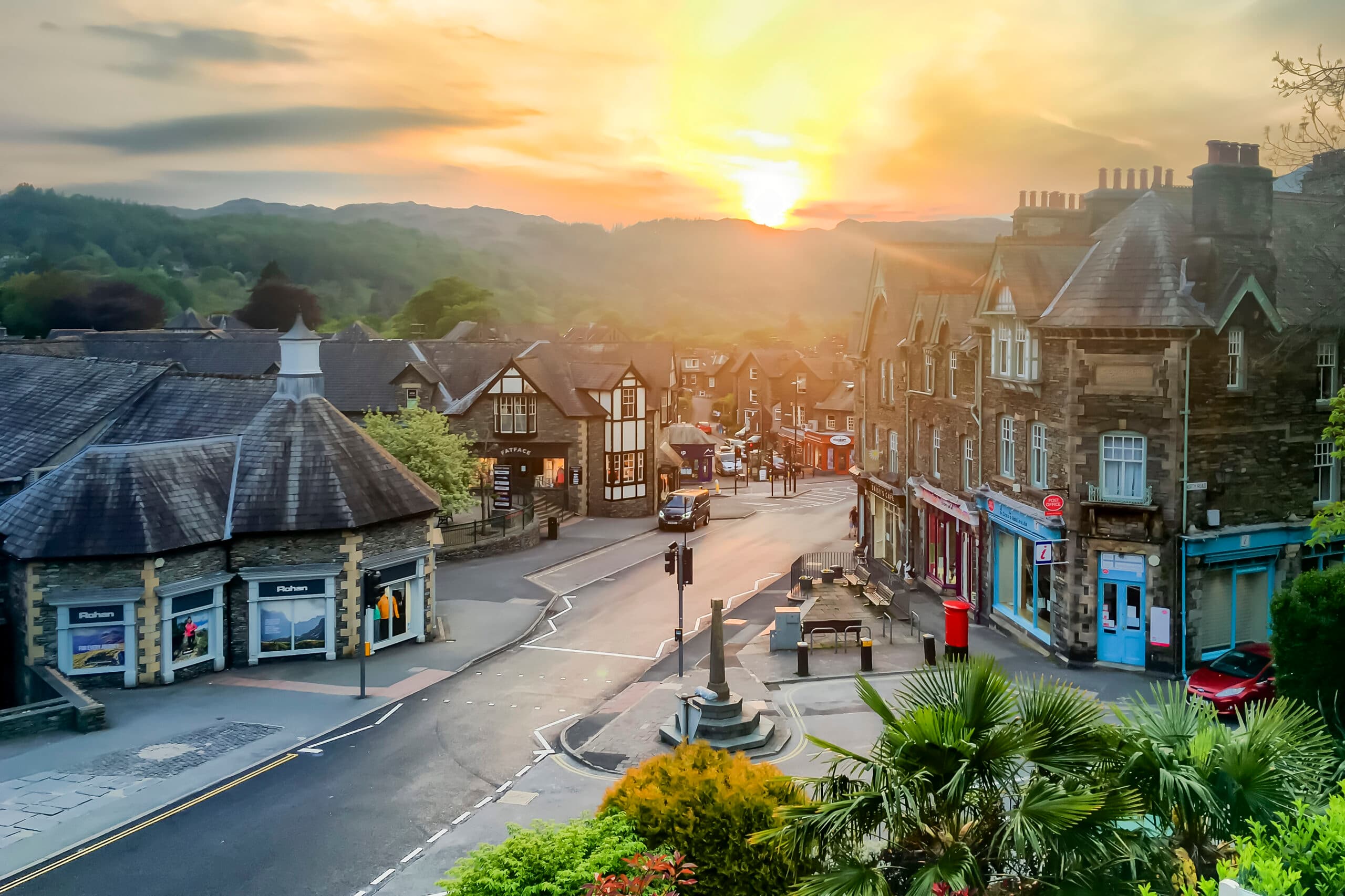
A 70-foot waterfall hidden in the woods just behind the town — one of the easiest big rewards in the Lakes. A short circular loop climbs through the trees past viewing points, and it's at its thunderous best after rain. It's completely free, with no tickets: people search "Stock Ghyll Force reviews" or "café" expecting a paid attraction, but it's simply a lovely woodland walk. Note you can no longer reach the base of the falls, and there's no swimming. Stock Ghyll once powered Ambleside's bobbin, wool and corn mills — the old mill buildings in town are now shops.
Start: Up Stock Ghyll Lane from the town centre, beside the White Lion Hotel — brown signs point to the falls (roadside ~LA22 0QT, approximate — use the start description)
Parking: No dedicated car park — Ambleside pay & display (main car park on the A591 above town), or Stockghyll Lane laybys (parking disc, 1-hour limit unless before 10am / after 6pm)
Find it: Search "Stock Ghyll Force, Ambleside" in Google Maps · walkable from town
Nearest pub / refuel
Nearest pub: to confirm — being added in the pub-research pass.


