The complete guide to walking in the Lake District — hand-picked walks and hikes across 12 towns, with maps, parking, difficulty and dog-friendly info. Browse by difficulty, by type, or by area.

Where to start
From flat lakeshore strolls to the highest mountain in England, the Lake District has a walk for every kind of day. This is the hub for the best Lake District walks and hikes — pulled together town by town, with distances, parking, postcodes, difficulty ratings and dog-friendly information for each route. Use the sections below to browse by difficulty (easy, moderate or difficult), by type (circular, family, dog-friendly, waterfall or short walks) or by area (pick the town you're based in). Every walk links through to a full guide, and the free planner can build a whole day around any of them.
By difficulty
From easy lakeshore walks to serious mountain hikes — pick the level that fits your day, then follow it down to the town guide.
Flat lakeshore and low viewpoints — short, well-signed and family-friendly. No serious hill walking needed.
Low fells and longer circuits — a real climb or a half-day, but within reach of most walkers on a clear day.
The big mountain days and ridge hikes — the high fells, including England's highest. For experienced walkers with the right kit.
By type
The way most people actually search for a walk. Pick the kind of day you want.
Flat lakeshore paths and gentle viewpoints — with honest wheelchair and pushchair access notes.
Easy walks guideRoutes where dogs are welcome, with off-lead status and where you'll pass livestock.
Dog-friendly walks guideWalks to the Lakes' best waterfalls — Aira Force, Stock Ghyll, Scale Force and more, on the map.
Waterfalls guideCircular, family, lakeside, short and viewpoint walks from across the Lakes — filter the list, then open the town guide for the full route, map and parking.
NT lakeshore park at the foot of Windermere — pram-friendly and flat.
Windermere walks →A wide, accessible NT gravel loop with mountain views.
Hawkshead walks →The classic first-Wainwright view — short, but it does climb.
Windermere walks →Two lakes and Rydal Cave on a gentle low-level loop.
Grasmere walks →Ambleside's waterfall on a short wooded loop from town.
Ambleside walks →A quiet low-level tarn beneath Loughrigg Fell.
Ambleside walks →A largely flat loop right around the lake.
Buttermere walks →A flat, accessible Derwentwater viewpoint from Keswick.
Keswick walks →A family favourite above Derwentwater — but a genuine little climb, not an easy walk.
Keswick walks →Short but steep — big views over the south of Windermere.
Windermere walks →Steamer to Howtown, walk the quiet eastern shore back.
Glenridding walks →The waterfalls of Tom Gill up to the famous tarn.
Hawkshead walks →5.72 miles, low level — Rosthwaite, the river back to Grange, a cave and an abandoned quarry.
Borrowdale · the full route →No walks match that filter yet — see the easy walks guide or pick a town below.
By area
Based somewhere in particular? Pick your town for the best walks that genuinely start nearby — every town below now has its own walks guide.
Live
5 walks — Orrest Head, Fell Foot, Gummers How and more. The family and station base.
See Windermere walks
Live
8 walks — Stock Ghyll Force, Loughrigg, Wansfell and the Fairfield Horseshoe.
See Ambleside walks
Live
5 walks — Claife Viewing Station, Brant Fell and the easiest Lakeland fells.
See Bowness walks
Live
8 walks — the classic lake circular, Haystacks, Rannerdale bluebells, Scale Force and Warnscale Bothy.
See Buttermere walks
Live
5 walks — the Old Man of Coniston, Coppermines and Coniston Water.
See Coniston walks
Live
8 walks — Helvellyn, Striding Edge, Aira Force and the Ullswater Way.
See Glenridding walks
Live
6 walks — Helm Crag, Easedale Tarn and the Lion and the Lamb.
See Grasmere walks
Live
4 walks — Tarn Hows, Latterbarrow and Grizedale Forest.
See Hawkshead walks
Live
5 walks — Scout Scar, Cunswick Scar and the best walks from town.
See Kendal walks
Live
8 walks — Catbells, Friars Crag, Walla Crag and the best of Derwentwater.
See Keswick walks
Live
7 walks — the Eamont Way, Lacy's Caves and Eden Valley heritage.
See Penrith walks
Live
6 walks — Scafell Pike, Great Gable and Wastwater.
See Wasdale walksFurther afield · a day from the eastern Lakes
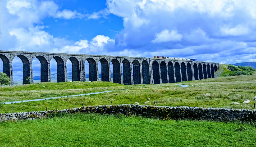
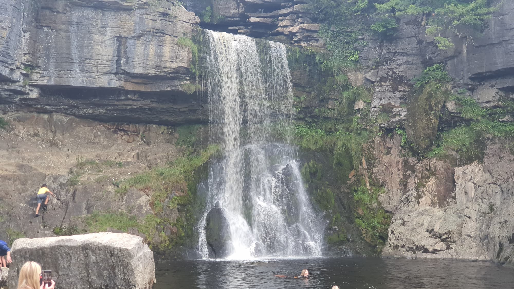
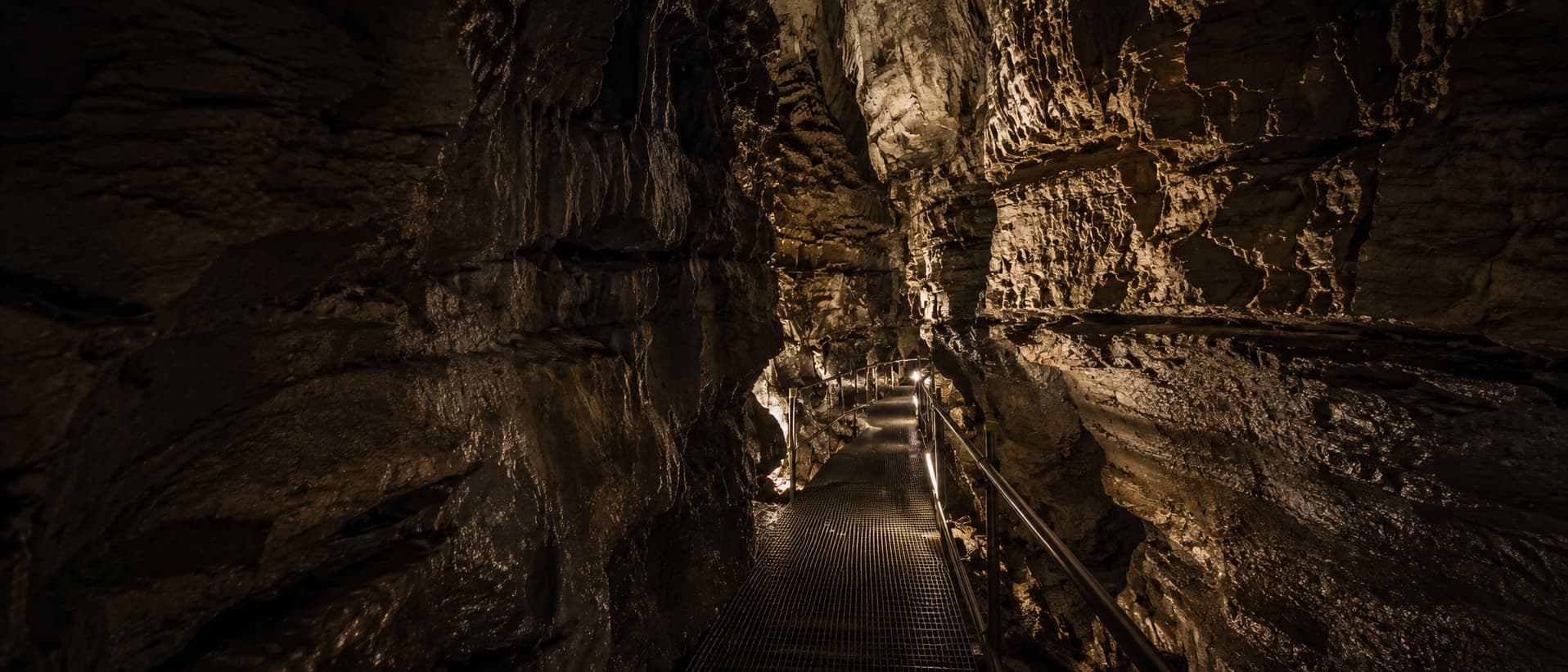
Just over the boundary from Kendal and Penrith, three stops sit five minutes apart on the B6255 — a free viaduct walk, a famous waterfall trail and Britain's longest show cave. One varied day out, easily reached from the Lakes.
Free walkThe short stroll or a moorland circular — plus the lost navvy village that built it.
Ribblehead Viaduct walk
Paid trailA ~4.3-mile loop past eight named waterfalls, including Thornton Force.
See the waterfalls trail
Show caveBritain's longest show cave — a guided ~80-minute tour, the nearby indoor option.
White Scar CavesFree, no sign-up. Pick a walk, tell the planner your transport and the weather, and it builds a timed day around it — parking, lunch and bus times included.
Open the free Lakes PlannerCommon questions