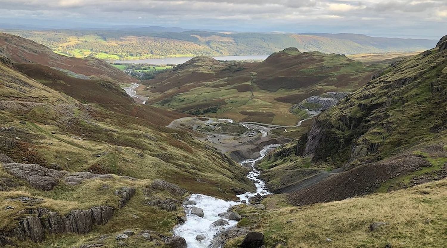
Wastwater lake with the Wasdale screes and Scafell Pike, Lake District
Western Lakes · No Phone Signal · England's Wildest Valley

Things to do in Wasdale, Lake District

England's highest mountain. England's deepest lake. One pub. No phone signal. Wasdale is the Lake District without compromise.

978m
Scafell Pike — England's highest mountain
79m
Wastwater — England's deepest lake
0
Phone signal in the Wasdale valley
1826
Year the Wasdale Head Inn was built
Scafell Pike Wastwater Wasdale Head Inn Dark Skies & St Olaf's Travel styles Walks Parking Stay FAQ

Western Lakes · remote valley

Plan your Wasdale visit, Lake District

Wasdale is not a town. It is a remote valley in the western Lake District with a handful of farms, one pub, one of the smallest churches in England, no phone signal and the most dramatic scenery in the country. The valley head sits beneath Scafell Pike — England's highest mountain at 978 metres — alongside Wastwater, England's deepest lake at 79 metres, with the famous screes plunging 600 metres straight into the water from the western shore.

Is Wasdale worth the detour? Yes — specifically. It is consistently voted England's favourite view in national polls. The combination of mountain, lake and silence is unmatched elsewhere in the country. But this is not a day out for a family hunting ice creams and gift shops. There are no ice creams. There is one shop. There is one pub — the Wasdale Head Inn, the birthplace of British rock climbing — and one tearoom at the campsite. The road in from Gosforth is single-track with passing places. There is no phone signal anywhere in the valley.

If you're here for Scafell Pike, check the mountain forecast at mwis.org.uk the night before. If you're here for Wastwater, drive to the National Trust car park at the head of the lake (CA20 1EX), stand on the shore, and you will understand. The free Lakes Planner times the day around the road, the weather and the Inn's evening bookings.

Road warning — read before you set off

The road into Wasdale from Gosforth is single-track with passing places for approximately 9 miles. It is not suitable for large motorhomes or vehicles over 2.5m wide. Allow 25 minutes from the A595. You will lose phone signal at Nether Wasdale and not regain it in the valley. Drive slowly, pull into the marked passing places, and accept that the journey is part of the experience.

Live conditions

Check the mountain forecast — not the valley one

Summit weather on Scafell Pike is often 10°C colder and 30mph windier than the valley. Cloud closes in fast.

Wasdale weather right now

9°C
Cloudy · feels like 6°C · wind 14mph SW

Tomorrow

Tue

11°

Wed

Live data via OpenWeatherMap · refreshes hourly

Going up Scafell Pike?

For summit conditions on Scafell Pike, always check the Mountain Weather Information Service: mwis.org.uk/en/forecast/lake-district. Summit weather can be dramatically different to valley weather. If MWIS says zero visibility above 700m, turn back at Lingmell col.

The road into Wasdale

Single-track from Gosforth (A595). 9 miles, 25 minutes, passing places. Drop phone signal at Nether Wasdale. Stop at Greendale to look back at the screes — one of the great Lake District views.

978 metres · England's highest mountain · 50,000 searches/month

Scafell Pike

Wasdale is the shortest and most direct route up. Below: how high, how long, whether beginners can do it, all four routes with start postcodes, how it compares to Snowdon, how to pronounce it — and the sunrise experience nobody is doing.

How long does it take to climb Scafell Pike?

From Wasdale Head — the shortest and most direct route — 5–7 hours return. The ascent takes approximately 3–4 hours depending on fitness. The descent on loose scree takes longer than expected. Add time for breaks, weather, and the inevitable pause at the summit cairn.

Is Scafell Pike ok for beginners?

Honest answer: it depends. The Wasdale route requires no technical scrambling — it is a walk, not a climb. But it is 8 miles and 950 metres of ascent on rough terrain, often in cloud, always remote. An unfit beginner should not attempt it. A fit person who regularly walks hills can do it if properly equipped.

What you must have

  • OS Explorer Map OL6 — downloaded offline (no signal)
  • Full waterproofs + warm layers (summit ~10°C colder)
  • Food and water for 6+ hours
  • Headtorch · whistle · sturdy boots (not trainers)

Scafell Pike routes

  • Wasdale (shortest, steepest) — 8 mi · 950m · Start CA20 1EX
  • Borrowdale (most popular) — 9 mi via Sty Head · Start CA12 5XJ (Seathwaite)
  • Langdale (longest, via Esk Hause) — 11 mi · Start LA22 9JY (Old Dungeon Ghyll)
  • Eskdale (quietest) — 11 mi · Start CA19 1TG (Boot)

For a first ascent: the Wasdale route. Shorter but steeper. You're already in the right valley.

Scafell Pike vs Snowdon

Scafell Pike is harder. It's longer (8 miles vs Snowdon's 5 via Llanberis), has more ascent (950m vs 720m), the terrain is considerably rougher, and the valley is far more remote. If weather closes in on Snowdon you can descend to a café in 45 minutes. On Scafell Pike you're 4 miles from the nearest pub.

How is Scafell Pike pronounced?

"Scaw-fell Pike." The 'ca' is pronounced like 'caw' — as in a crow's call. Not "Sca-fell" with a short 'a'. You will say it wrong the first time. Everyone does.

Uncontested · 90 searches/month

Scafell Pike at sunrise

Leave Wasdale Head at 3am in midsummer. The walk up in darkness with headtorches, the eastern sky turning behind the Helvellyn range, the light breaking across the fells as you approach the summit, the moment the shadow lifts and the whole of England drops away below you. One of the great experiences available to anyone with functioning legs and a willingness to set an alarm. The Wasdale Head Inn will pack you a breakfast the night before — ask at the bar.

79 metres deep · England's deepest lake · CA20 1EX

Wastwater

Voted England's favourite view. Three miles long, 79 metres deep, the screes plunging straight from 600 metres to the lake bed without flattening at the shore. Below: directions and postcode, swimming honestly answered, the full circuit, and whether it's worth visiting (it is).

Wastwater — practical information

  • PostcodeCA20 1EX
  • ParkingNT car park · £5/day
  • NT membersFree
  • MapOS Explorer OL6
  • Depth79 metres
  • Length3 miles
  • Circuit5 mi · 2.5–3 hrs

Can you swim in Wastwater?

Yes. Wild swimming is allowed and practised here. The water is extremely cold year-round — 8–12°C in summer at the surface, considerably colder below. There is no lifeguard. The lake is very deep close to shore near the screes. Swim with a companion. A wetsuit is recommended for anything beyond a quick dip.

How long does it take to walk around Wastwater?

The full circuit is approximately 5 miles and takes 2.5–3 hours. The western shore path (beneath the screes) involves some rough terrain and occasional scrambling — not suitable for small children or those without walking experience. The eastern shore along the road is much easier.

Is Wastwater worth visiting?

Yes. One sentence: it is the most dramatic lake in England, and there is almost no one there. Drive in, stand at the shore at the head of the lake, look at the screes and the fells above, and you will understand why people come to the Lake District. The view is genuinely better than the photograph.

Directions to Wastwater

From the M6: Junction 36 (Kendal), A590, A595 north to Gosforth. From Keswick: A66 west, A595 south to Gosforth. At Gosforth, follow signs to Wasdale Head. Nine miles of single-track from there to CA20 1EX. The NT car park is at the head of the lake.

CA20 1EX · 1826 · 2,600 searches/month

Wasdale Head Inn — birthplace of British climbing

One of the most famous pubs in England, and the building where the sport of British rock climbing was effectively invented in the 1880s.

Practical

Address
Wasdale Head
CA20 1EX
Food
Lunch + dinner daily
Bar
Open to non-residents
Rooms
Yes · book ahead
Dogs
Welcome in bar

Order this: a pint of Great Gable Yewbarrow, the local lamb, and a window seat looking at the Pike.

Specific to Wasdale · nowhere else like it

Dark Skies, St Olaf's and the climbers' graves

St Olaf's Church, Wasdale Head

One of the smallest churches in England, sitting in the valley below the fells. Built in the 16th century, it seats approximately 40 people. The churchyard contains the graves of several climbers who died on the surrounding fells — a sobering reminder of the mountain's power. Free to visit, always open. CA20 1EX.

Napes Needle

The pinnacle of rock on the south face of Great Gable that Walter Parry Haskett Smith soloed in 1886 — the birth of British rock climbing. Visible from the valley with binoculars; reached on foot via the Sty Head path. Don't climb it unless you climb.

Wasdale Head packhorse bridges

The 17th-century stone packhorse bridges at the head of the valley — used to bring goods across the becks before metalled roads. One of the most photographed corners of the valley, especially in late afternoon light.

Greendale viewpoint

The single best view of Wastwater and the screes is from the road at Greendale, half-way down the lake. Pull into the verge, walk five paces, look. One of the great Lake District photographs takes itself here.

Sunset at the lake head

The last hour of light on Wastwater — the screes turn copper, the Pike goes black, the water becomes a mirror. Sit on the shingle by the NT car park. The single most reliably beautiful evening in the western Lakes.

Travel styles

Wasdale — for the people who actually come here

Note: there is no "rainy day" tab. There is nowhere indoor to go in Wasdale in the rain. If it's raining heavily, drive 25 miles east to Keswick for the Pencil Museum or 35 miles south to Coniston for the Ruskin Museum. Or sit in the Wasdale Head Inn and watch the rain hit the fells. Both are valid.

Wasdale for walkers

Great Gable

899m, war memorial summit cairn, views to Scafell Pike. The classic alternative. 7 mi · 4–5 hours.

View on Google Maps
ChallengingCA20 1EX

Wastwater circuit

5 miles around the lake. Rough on the western shore beneath the screes. 2.5–3 hours.

View on Google Maps
ModerateCA20 1EX

Yewbarrow

628m. Dramatic ridge above the western shore. Steep, exposed, quiet. 5 mi · 3–4 hrs.

View on Google Maps
ChallengingOverbeck Bridge

Lingmell

807m. The summit between Wasdale Head and Scafell Pike — extraordinary views down the valley. A shorter alternative to the Pike.

View on Google Maps
Moderate–hardCA20 1EX

Sty Head pass

The classic packhorse route over to Borrowdale and Keswick. Gateway to the Napes Needle climbs. 4 mi each way to the pass.

View on Google Maps
ModerateWasdale Head

Want a Wasdale day timed around the road, the weather and the Inn?

Tell the planner your group, transport and what you came for. It does the rest.

Plan your Wasdale day

On foot

Wasdale walks

Four routes from Wasdale Head — the Pike, the Gable, the lake circuit, and Yewbarrow. Take OS Explorer OL6 downloaded offline. There is no signal.

Great Gable from Wasdale Head

War memorial summit · 899m

Challenging

Distance

7 mi

Time

4–5 hrs

Ascent

870 m

899m, war memorial summit cairn, views down into Wasdale and across to Scafell Pike. The classic alternative to the Pike.

Start: Wasdale Head car park · CA20 1EX

Wastwater circuit

The full lake · screes shore

Moderate

Distance

5 mi

Time

2.5–3 hrs

Ascent

Low

The full lake circuit. Western shore beneath the screes is rougher with some scrambling. Eastern shore is road. The view at the head of the lake is worth every step.

Start: NT car park, Wastwater · CA20 1EX

Yewbarrow

628m · dramatic ridge above Wastwater

Challenging

Distance

5 mi

Time

3–4 hrs

Ascent

650 m

Steep, exposed and very quiet. Excellent views of Scafell Pike and Great Gable from the summit. Start from Overbeck Bridge on the western shore road.

Start: Overbeck Bridge · CA20 1EX area

Where to park

Wasdale parking

Wasdale Head (NT)

Main car park · head of the valley · CA20 1EX

Main
£5/day · NT members free

Warning: fills completely by 7am on summer weekends and bank holidays.

Overbeck Bridge

For Yewbarrow · western shore road · CA20 1EX

FREE
Roadside · very limited spaces

Nether Wasdale

Village · 3 mi from the head · CA20 1ES

FREE
For lake walks only · last phone signal

Verge parking, valley road

Various lay-bys · use with caution

Don't block farm gates or passing places

Parking warning

On summer weekends and bank holidays the Wasdale Head car park is completely full by 7–8am. If you arrive at 9am expecting to park, you will not find a space. Either arrive very early or accept you're parking on the verge two miles down the valley and walking in.

Where to stay

Where to stay near Wasdale

Wasdale Head NT campsite

National Trust campsite at the head of the valley. The classic climbers' and walkers' base. Book ahead in summer at nationaltrust.org.uk. CA20 1EX.

Gosforth

9 miles. The nearest village with multiple B&Bs, a pub and the last petrol. Bigger range of accommodation, easier to book at short notice. CA20.

Nether Wasdale

Two pubs with rooms (the Strands Inn and the Screes Inn) in the village 3 miles before the valley head. The next-best option if the Wasdale Head Inn is full.

Church Stile campsite

Family campsite at Nether Wasdale — gentler than the NT site, with facilities. Good base for the lake walks if not the high fells.

Seascale

Coastal town 8 miles from the lake head. Nearest train station. A handful of guesthouses; not a base for climbers, useful for a no-car visitor.

Within reach

Day trips from Wasdale

25 mi · 1 hr

Keswick

Derwentwater, Catbells, the Pencil Museum. The big wet-weather option from Wasdale.

Things to do in Keswick
35 mi · 1h 15m

Coniston

Old Man, Donald Campbell, Ruskin Museum. The southern alternative.

Things to do in Coniston
12 mi

Ravenglass & Eskdale Railway

The 15-inch gauge "Ratty" steam railway. Brilliant rainy-day option on the coast.

Bookable · ravenglass-railway.co.uk
6 mi · coast

St Bees beach

Long red-sandstone beach, cliffs, the start of the Wainwright Coast-to-Coast walk.

Free · drive

Plan your Wasdale day out

Free, no sign-up. The planner times the day around the single-track road, the mountain forecast and the Inn's evening bookings.

Open the free Lakes Planner
What the Fell?

Wasdale weather and conditions in your inbox

Weather. Mountain forecast. Road conditions. Local news. Five days a week, free, before you've finished your morning brew.

Free forever 5 days a week Unsubscribe any time

No spam. Lake District news only. Powered by Beehiiv.

Common questions

Wasdale questions, properly answered

Is Scafell Pike ok for beginners?
It depends on fitness. The Wasdale route requires no technical scrambling — it is a walk, not a climb. But it is 8 miles and 950 metres of ascent on rough remote terrain, often in cloud. An unfit beginner should not attempt it. A fit person who regularly walks hills can do it if properly equipped: OS Explorer OL6 downloaded offline, full waterproofs, warm layers, food, water, headtorch and sturdy boots.
How long will it take to walk up Scafell Pike?
From Wasdale Head (the shortest and most direct route): 5–7 hours return. The ascent takes approximately 3–4 hours depending on fitness. The descent on loose scree takes longer than expected. Don't rush it.
Is Scafell harder than Snowdon?
Yes, significantly. Scafell Pike is longer (8 miles vs Snowdon's 5 via Llanberis), has more ascent (950m vs 720m), the terrain is considerably rougher, and the valley is far more remote. If weather closes in on Snowdon you can descend to a café in 45 minutes. On Scafell Pike you're 4 miles from the nearest pub.
Is Scafell Pike a tough climb?
Yes. Not technically difficult but physically demanding. The Wasdale route involves several miles of rough, rocky terrain above the Lingmell col. Most people find it harder than expected. Go prepared.
Is Wastwater worth visiting?
Yes — one sentence: it is the most dramatic lake in England, possibly the most beautiful, and almost nobody is there. The screes dropping into the water, the ring of fells above, the silence. Worth the drive.
Is Wastwater the deepest lake in England?
Yes — 79 metres at its deepest point. England's deepest lake. Also consistently voted England's favourite view in national polls.
How long does it take to walk around Wastwater?
The full circuit is approximately 5 miles and takes 2.5–3 hours. The western shore path is rougher and involves some scrambling near the screes. The eastern shore road is easier.
Can you swim in Wastwater?
Yes — wild swimming is allowed. The water is extremely cold year-round (8–12°C in summer at the surface, considerably colder below). There is no lifeguard. The lake is very deep close to shore near the screes. Swim with a companion. A wetsuit is recommended for anything beyond a quick dip.
How is Scafell Pike pronounced?
"Scaw-fell Pike" — the 'ca' in Scafell is pronounced like 'caw' — as in a crow's call. A common mispronunciation is "Sca-fell" with a short 'a'. You will say it wrong the first time. Everyone does.

Explore more

Nearby Lake District hubs