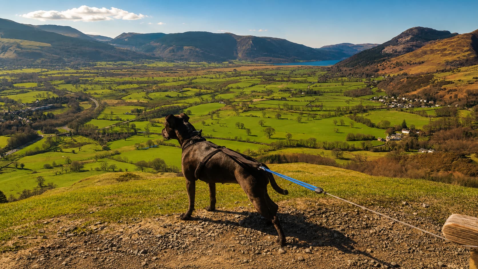
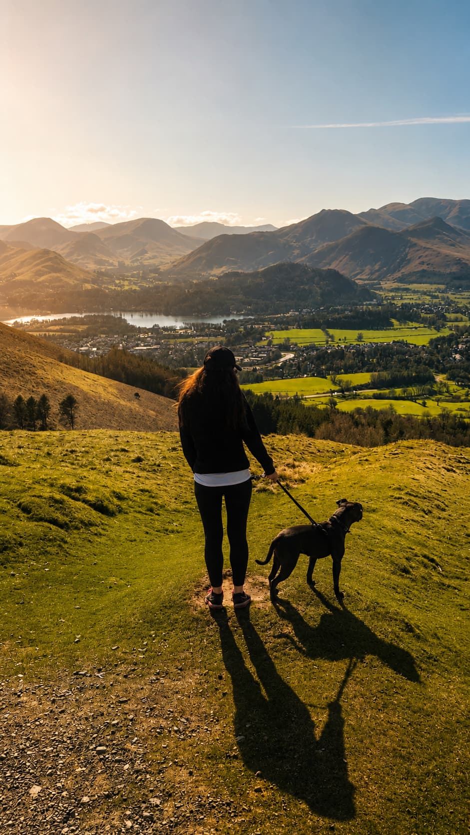
The little green fell that sits right above Keswick — often called the most accessible of the 214 Wainwrights. Ten minutes from the top car park delivers a huge low-level panorama: Derwentwater, Borrowdale and the Skiddaw giants, all from a single grassy bench.
Height · 1,207 ft
From Gale Road
Ascent (easy route)
Often called the most accessible
Keswick's own fell
Latrigg is the grassy green dome that rises straight out of the back of Keswick — the most southerly top of the mighty Skiddaw massif, and, at 368 m, widely called the most accessible of all 214 Wainwrights. From the Gale Road car park you're at the bench viewpoint, just below the summit, in about ten minutes on grass, having climbed barely 80 metres. No scramble, no exposure, no navigation puzzles — just a short walk to a genuinely spectacular seat.
It's the fell locals climb before breakfast and the one they bring visitors to for their first taste of the Lakes. The bench sits on a flat grassy top just below the summit, facing the view. The summit cairn is only about 50 m further along, but most people stop at the bench viewpoint, where there is more room and the better view. Because it's so gentle, Latrigg is also a proper family and accessibility walk, part of the Lake District's Miles Without Stiles network. Below, our own photos give you a sense of what you're walking up for.
Choose your route
The easy way for the view alone, or the fuller walk straight out of Keswick.
Start high, at the Gale Road car park (around 280 m). A short, steep ramp — roughly 1-in-7 for the first 150 metres — then it levels onto grass and rolls gently to the bench viewpoint just below the summit. About 1 km each way (the National Park's figure) and only 80–90 m of ascent, so most people are at the bench in ten minutes. This is the accessible, family and pram-friendly way to the viewpoint.
Gale Road car park · small · fills fast (also the Skiddaw start)
The proper walk from the town centre: out via Spooney Green Lane and the old Keswick to Threlkeld railway trail, climbing steadily to the summit in about an hour over roughly 1.5 miles. Come back down through Brundholme Wood to Fitz Park for a satisfying circular of a few hours — no car needed.
Start in Keswick · circular via Brundholme Wood
See Keswick walks for how Latrigg fits with Catbells, Walla Crag, Friar's Crag and the rest.
The view — the whole point
Latrigg's bench viewpoint is the classic spot to get your bearings on the northern Lakes. Laid out below are Keswick, Derwentwater and Bassenthwaite Lake; behind and above rear Skiddaw and Blencathra. To the west stand Catbells, the Newlands round and Robinson; eastward runs the long Helvellyn range; and on a clear day you can trace Scafell Pike and Great Gable at the far head of Borrowdale.
Getting there & parking
The high start for the easy route — small and shared with everyone heading up Skiddaw, so it fills early on fine days and weekends. Arrive first thing or have a Keswick back-up.
Bench viewpoint grid ref NY 276246 · bench viewpoint what3words ///florists.panics.songbook. Both what3words addresses are LDNPA-published — treat them as a supporting locator, not a substitute for a map.
For the fuller circular, use any of the town-centre car parks (charges apply) and walk out via Spooney Green Lane. It also means Latrigg costs you nothing extra if you're already parked in town for the day.
Worth knowing: the Gale Road car park sits high and half-way up the hill, which makes it the springboard for far more than Latrigg. It's the same small, high-level start used for Skiddaw, Lonscale Fell and Skiddaw Little Man — which is exactly why it fills so early. It's brilliant for small children too: you're already up at around 280 m, so the bench viewpoint on Latrigg is barely 10–15 minutes away.
Latrigg
~0.5 mile · 10–15 min · gentle, accessible grass path
Skiddaw
~3 miles · 2–3 hrs · steep south ridge via Jenkin Hill
Lonscale Fell
~1.5 miles · ~1 hr · north-east on the Cumbria Way above Glenderaterra Beck
Skiddaw Little Man
A short detour off the main Skiddaw path — a cracking top in its own right
Prefer to earn it? You can walk the whole way up from Keswick instead. The lane up to the car park is steep, but on foot you swap a 15-minute stroll for a proper couple of hours and even bigger views. See the Keswick walks guide for the full circular.
There are no toilets or refreshments on the walk itself — nearest facilities are in Keswick.
The Gale Road route is the Lake District's Miles Without Stiles 38 path, graded "for some" by the National Park. It is a family- and pram-friendly way to a bench viewpoint just below the summit, with no stiles to lift over; the National Park says the last stretch to the top is steep and uneven. It is honestly steep at the very start (roughly 1-in-7 for the first 150 metres) before it eases onto easy grass, so it suits sturdy off-road prams and many assisted wheelchair users to the viewpoint, rather than unassisted wheelchair self-propelling on that first ramp. Take it steadily, and it's one of the most rewarding easy walks anywhere in the National Park.
Yes — Latrigg is the easier of the two. From Gale Road it's about ten minutes on grass with only ~80 metres of ascent and no hands-on sections at all. Catbells, by contrast, is a rockier ridge with a few short scrambly steps and steeper drops on either side — a wonderful walk, but a clear step up in effort and confidence. If you want the gentlest possible first fell, do Latrigg; when you're ready for a little more, Catbells is the natural next one, and both share the northern-Keswick skyline.
"...a great favourite of local people."
— Alfred Wainwright, on Latrigg
Wainwright saw Latrigg, Loughrigg and Helm Crag as three of a kind — small hills that are each their town's own favourite viewpoint. Latrigg is that hill for Keswick, just as Loughrigg is for Ambleside and Helm Crag for Grasmere: little summits, big views, walked again and again by the people who live below them.
Three of a kind
Make a day of it
Keep exploring
Common questions