Buttermere Lake Circular
The town classic · start here
Distance
4.5 mi · 7.2 km
Time
2 – 2.5 hrs
Ascent
Mostly flat
Terrain
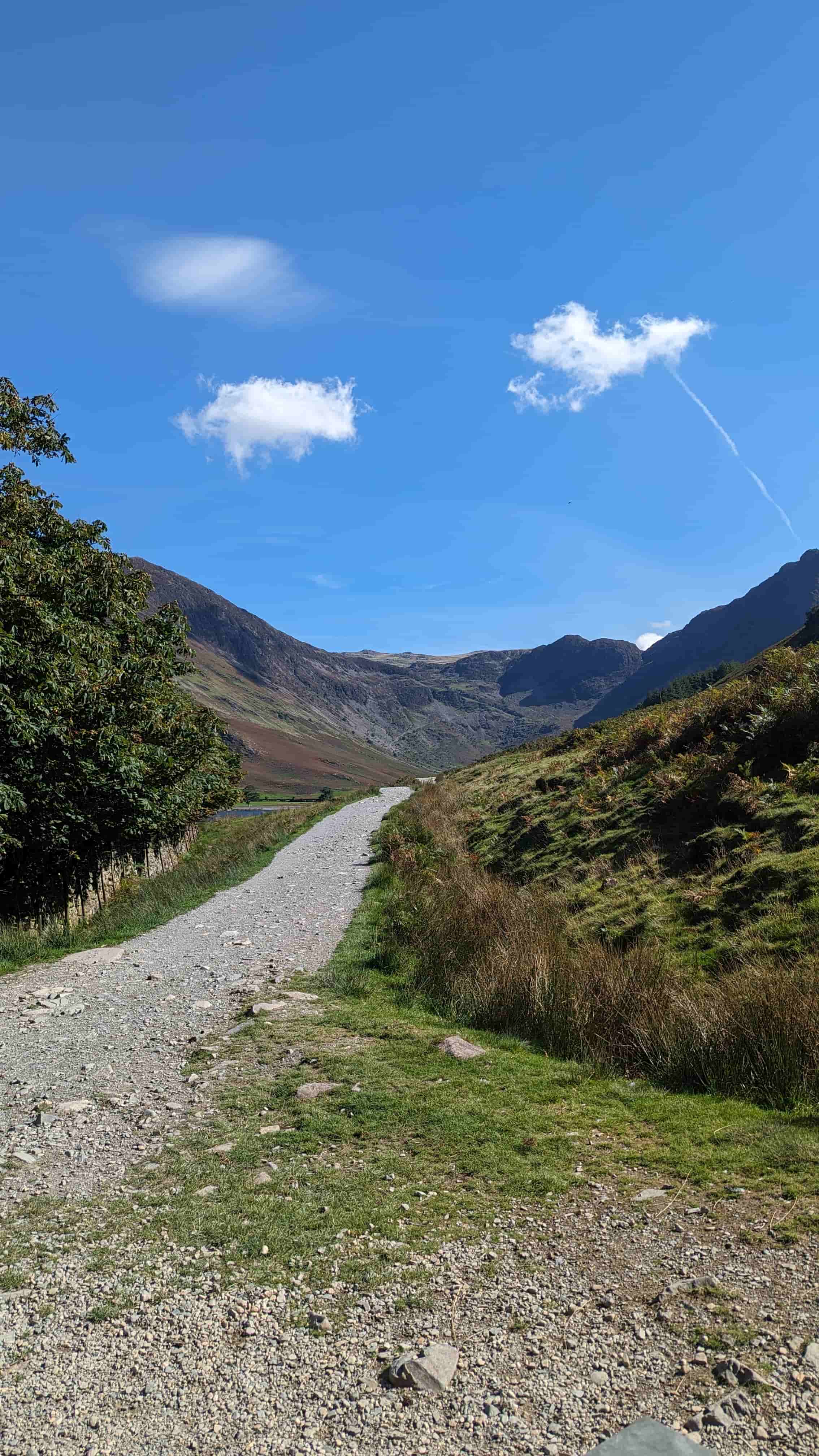
Good paths, rock tunnel
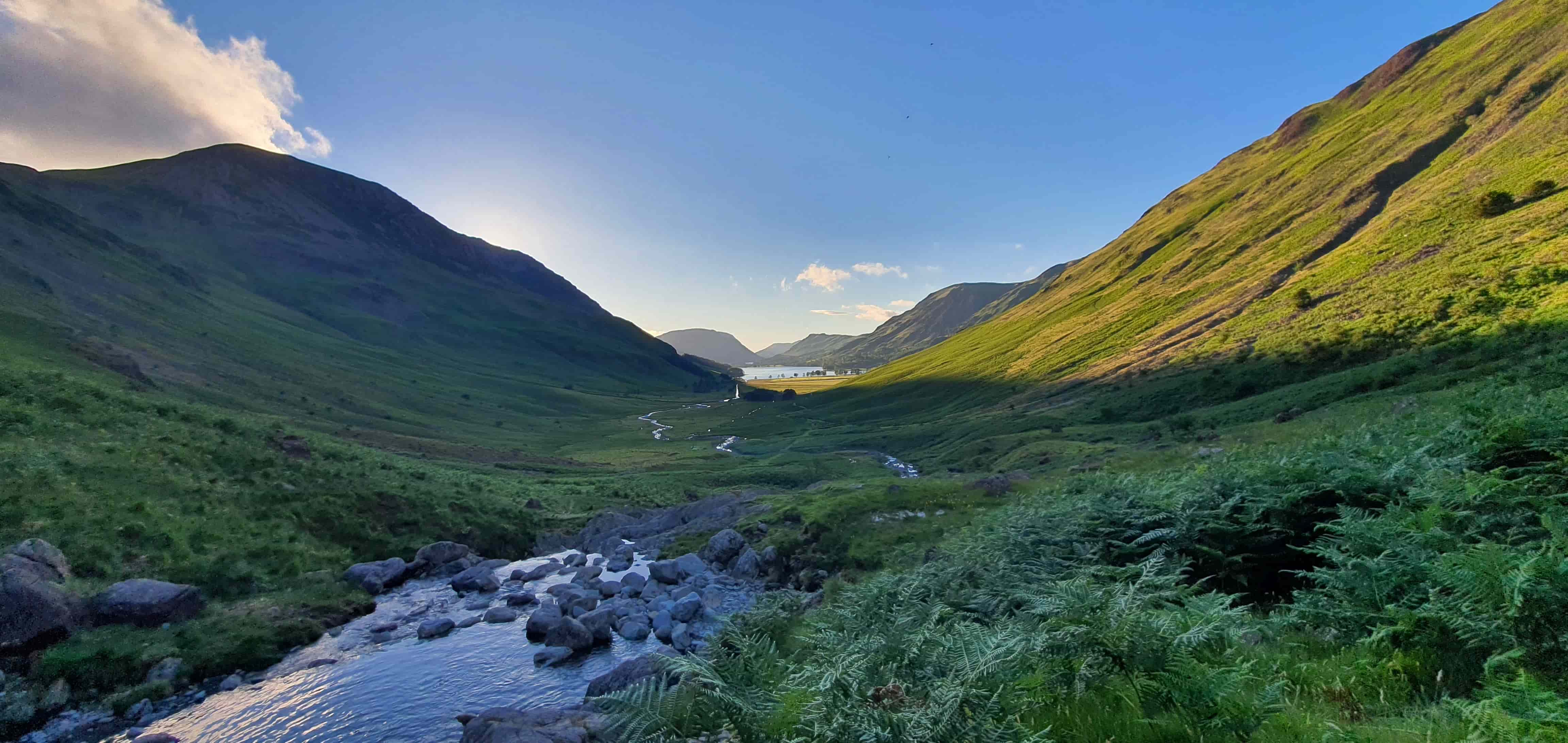
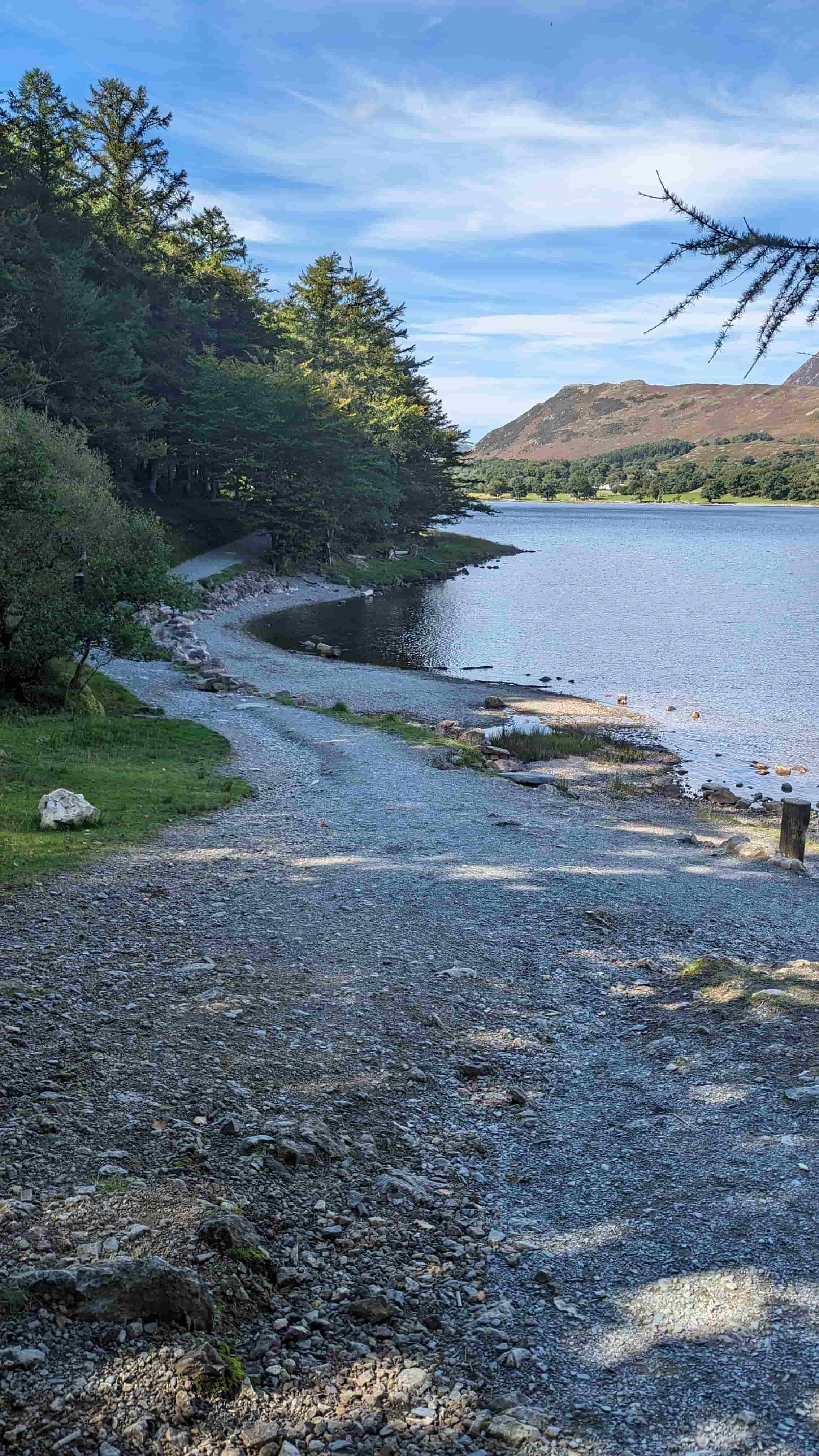
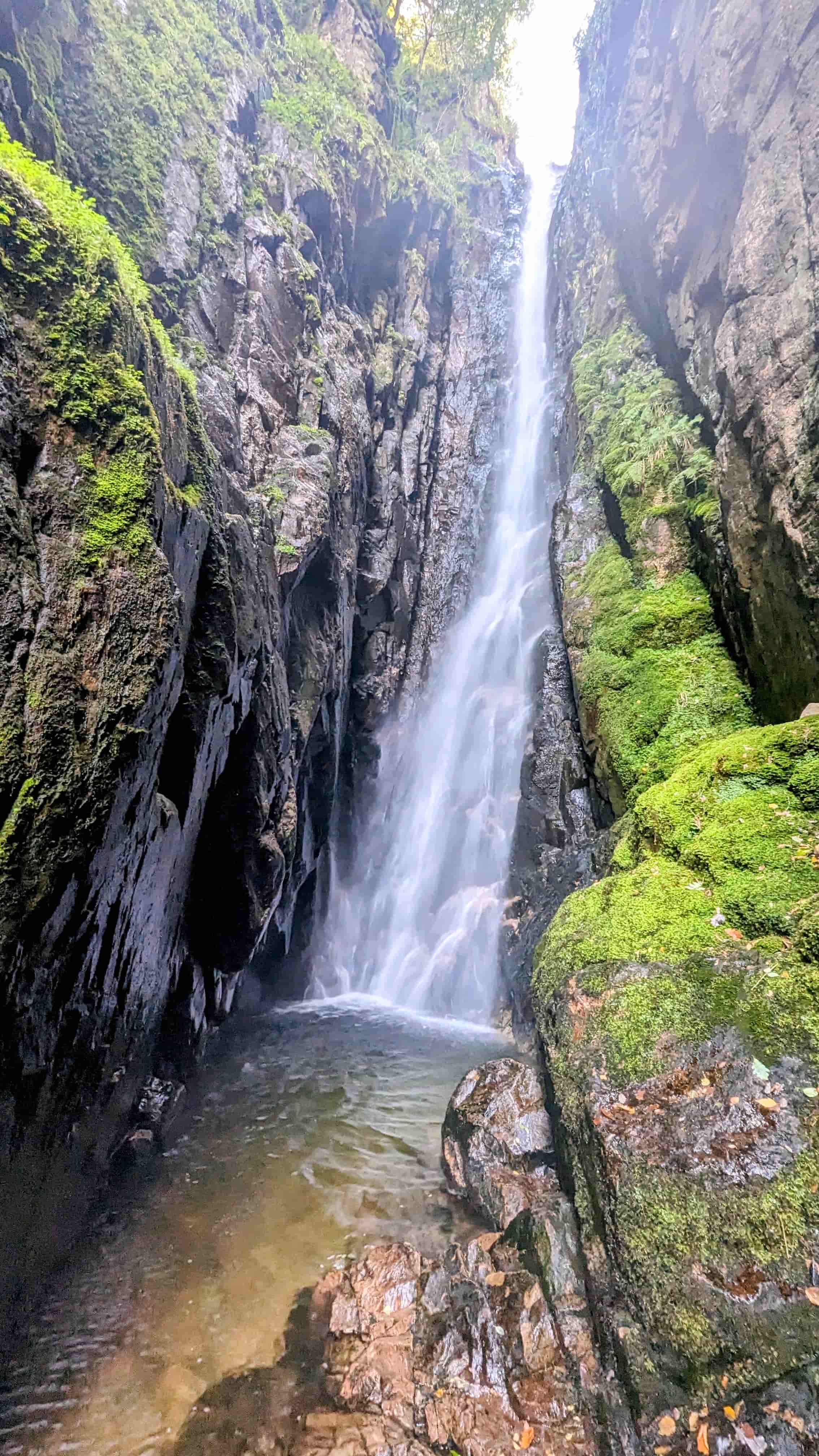
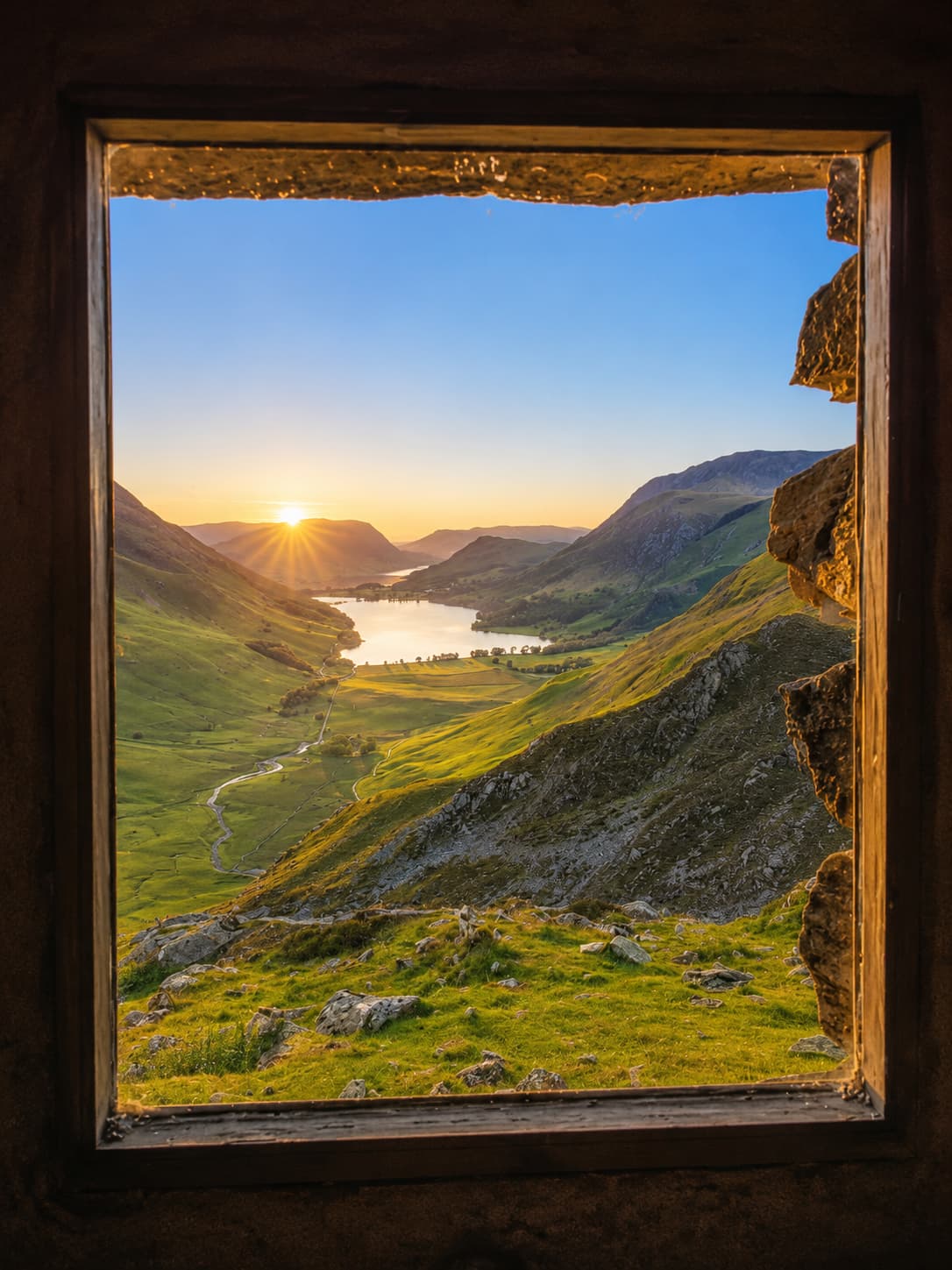
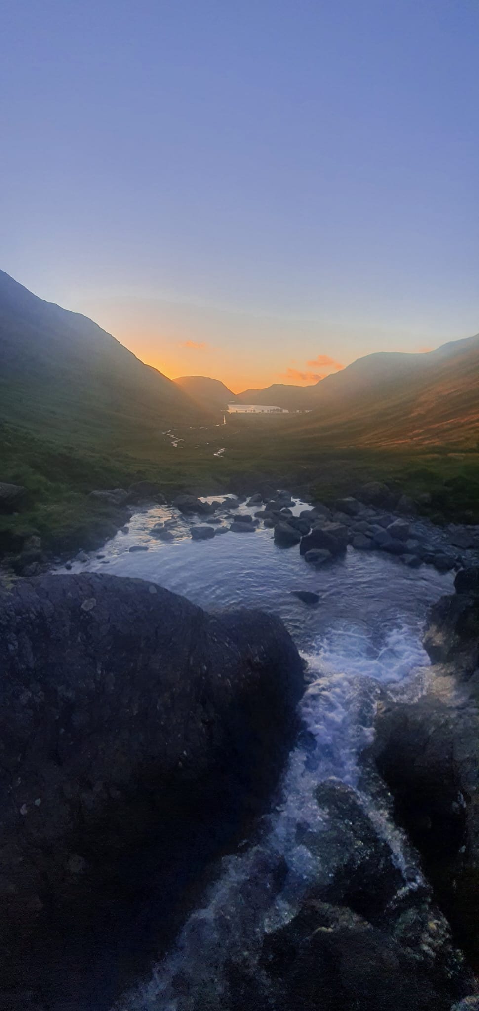
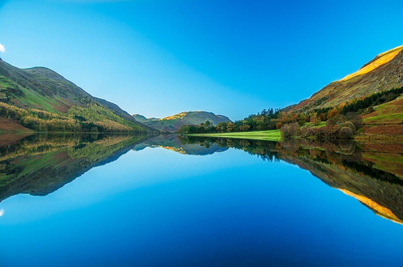
The most complete easy lake walk in the Lakes, and one of the best in England — a full, mostly flat circuit of the whole lake on good paths, with a short tunnel cut through the rock on the western shore, views of Sour Milk Gill tumbling down, and a complete ring of fells reflected in the water. Around 2 to 2.5 hours at a gentle pace. Family-friendly, dog-friendly and pram-friendly along the eastern shore (a few rougher sections elsewhere). The cafés and pubs of Buttermere village sit right at the start. People searching for the "Buttermere infinity pool" mean the fellside pools above the lake — those are covered on our wild swimming guide; this lake-shore loop doesn't pass them.
Start: Buttermere village, by the Fish Inn / Bridge Hotel · CA13 9XA
Parking: Buttermere village National Trust pay & display (~50 spaces, toilets), or the smaller Bridge Hotel car park
Public transport: The free summer shuttle (77) from Cockermouth; limited rural service otherwise — easiest by car