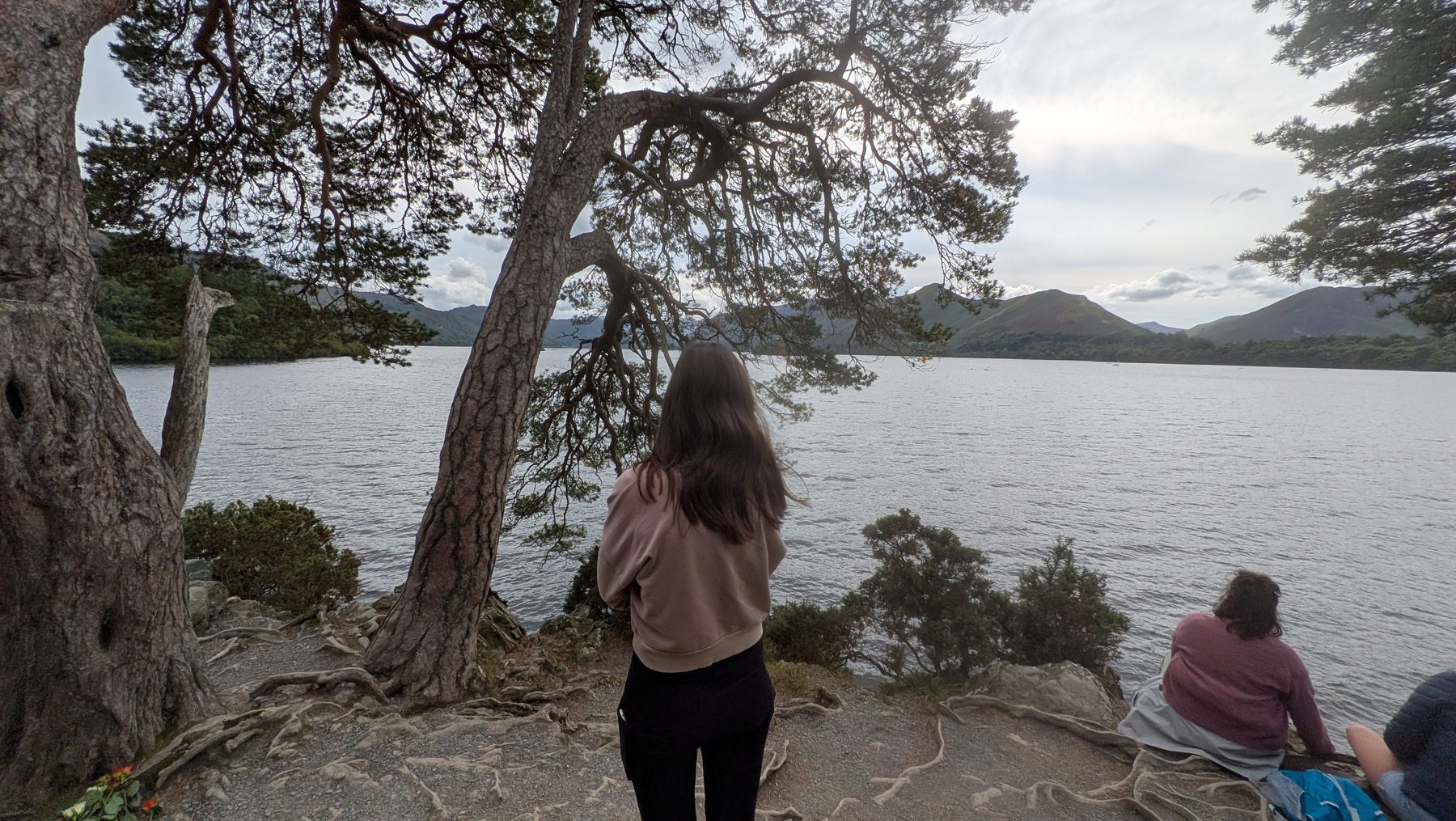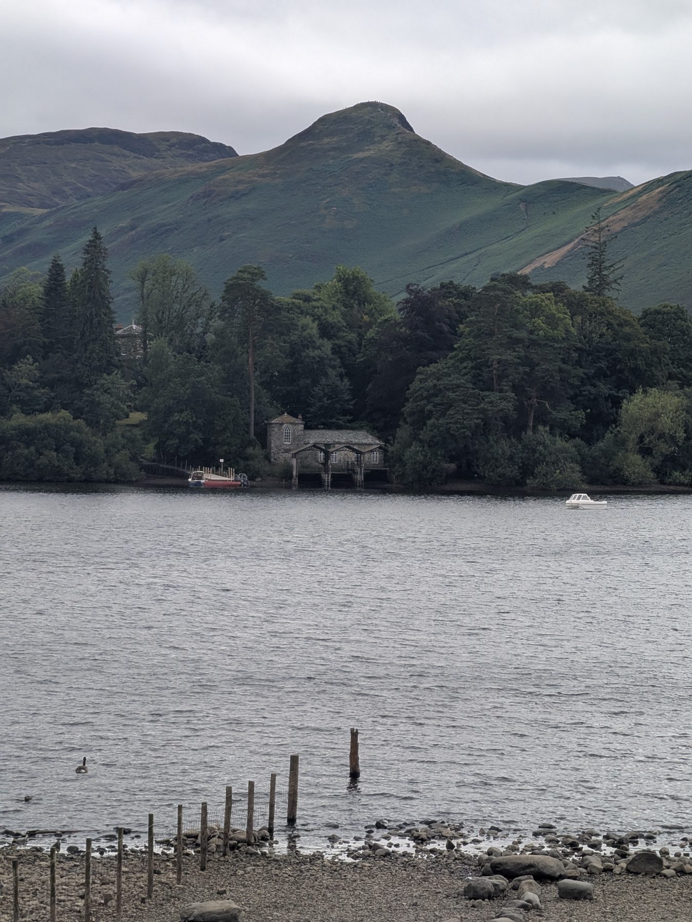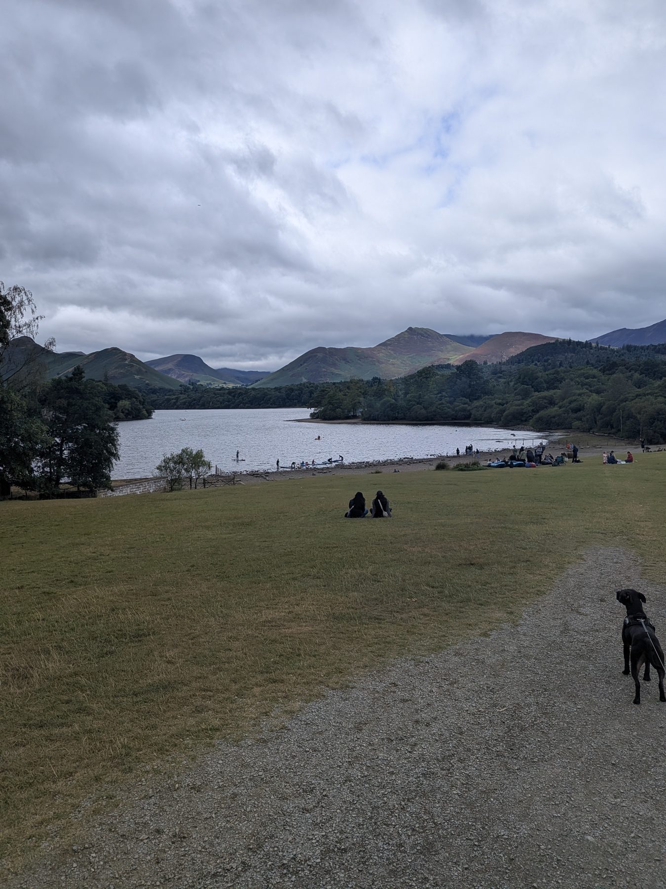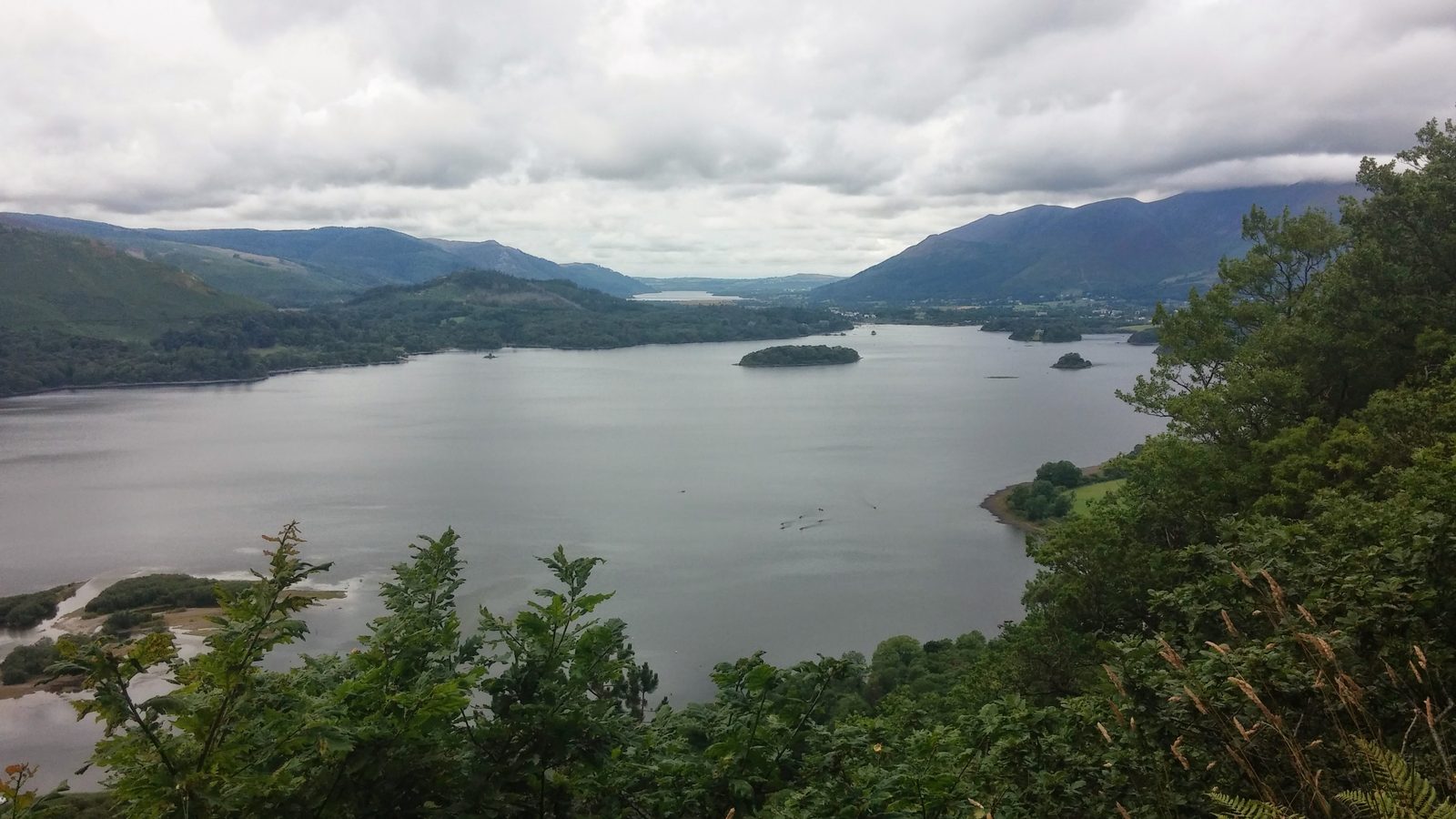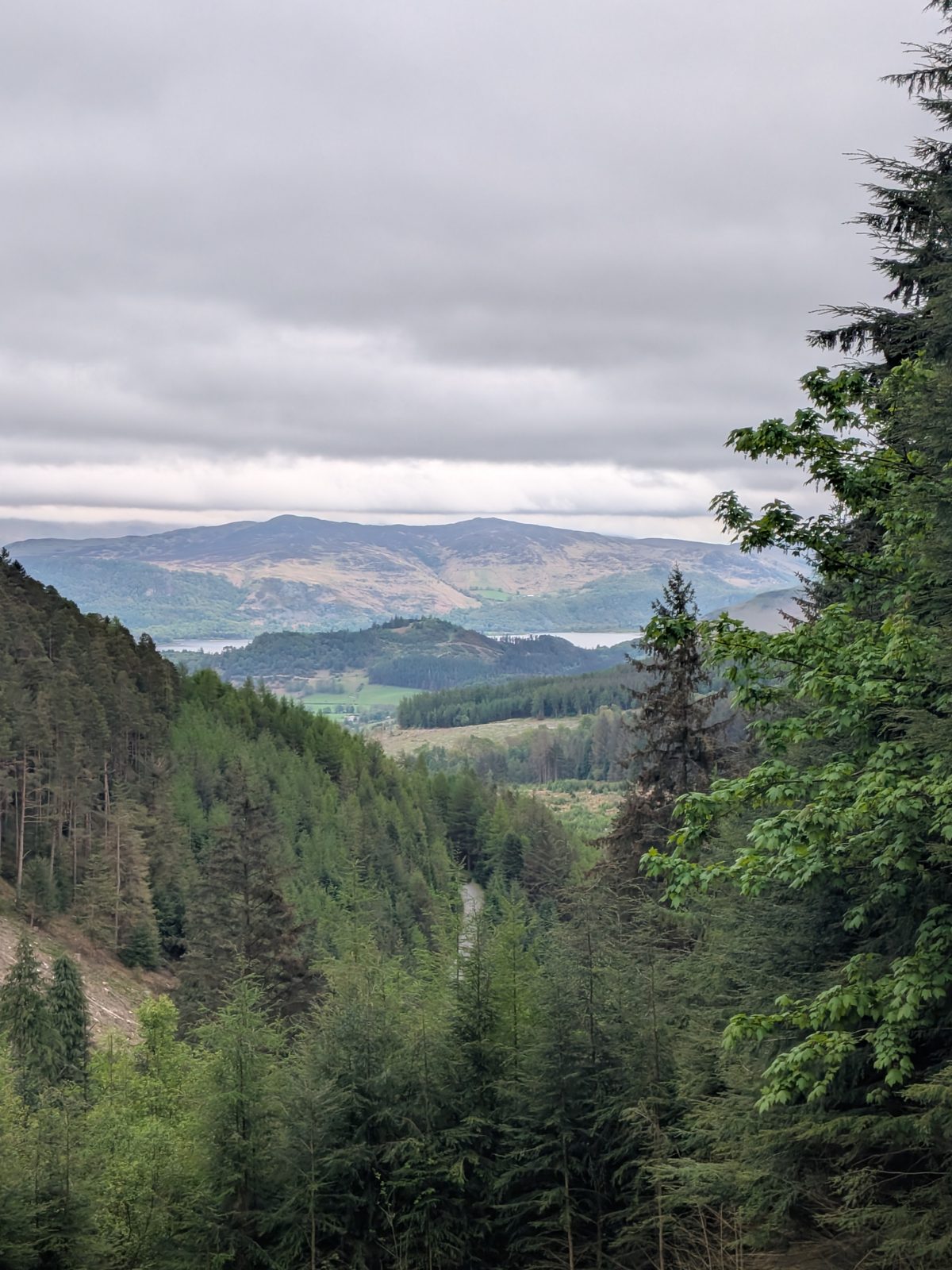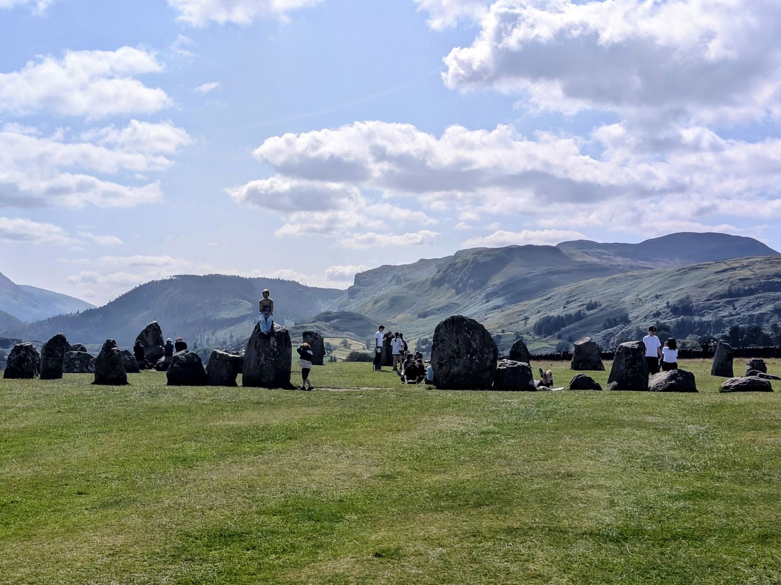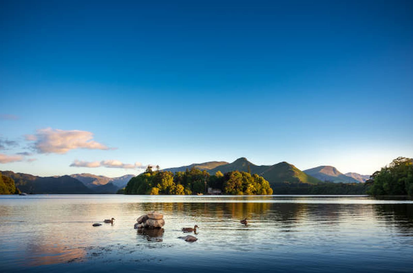
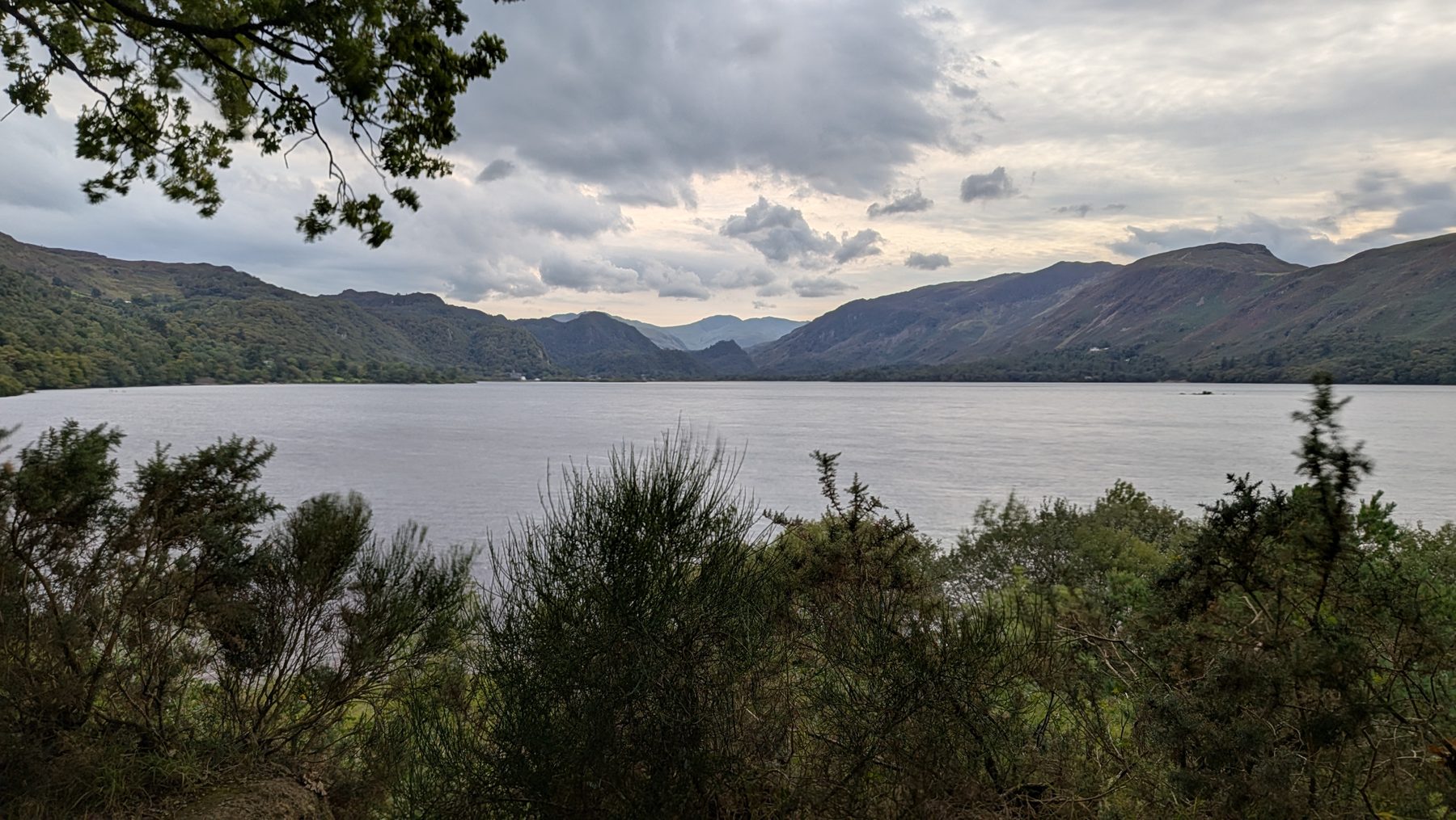
Catbells and Derwentwater above Keswick, Lake District
Northern Lakes · 10 hand-picked walks

Keswick Walks

The walking capital of the northern Lakes — a level lakeshore stroll to a famous viewpoint, low fells with huge views, the nation's favourite "first fell" on Catbells, and a stone circle raised somewhere between about 4,500 and 5,000 years ago. Distances, parking and dog info for all eleven.

Written and walked by Peter A Cumbrian family guide, written in Penrith

A hand-picked guide

The best walks from Keswick

Keswick is the walking capital of the northern Lakes: Derwentwater's skyline fells, lakeshore classics and viewpoints all sit within a short hop of the town. This is a hand-picked guide to the eleven best walks from Keswick, with distance, time, ascent, parking, start points and dog-friendly info for each. Begin with the level Friars Crag lakeshore walk and the short climb up Castle Head for the big Derwentwater view, the walk out to Castlerigg Stone Circle and the photogenic Ashness Bridge and Surprise View; step up to famous Catbells, quieter Walla Crag and easy-win Latrigg; then take on Castle Crag in Borrowdale when you want a short-but-proper fell. For a swim, see the wild swimming guide.

Showing all 11 walks.

Easy

Easy walks from Keswick

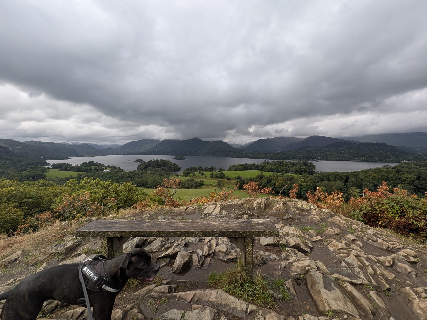
Cass, a Staffordshire Bull Terrier, at the summit bench on Castle Head with the Derwentwater panorama behind, Keswick, Lake District

Castle Head

The big Derwentwater view for an hour of your time

Easy

Distance

2.28 mi circular

Time

1 hr 13 with stops

Ascent

Short, steep pull

Terrain

Woodland, then loose rock

The best view-to-effort ratio anywhere near Keswick. Castle Head is the wooded knoll on the Borrowdale side of town, and from the bench at the top you get the whole of Derwentwater laid out below you — the islands, the launches, Catbells along the western shore and Borrowdale running away south. We walked it door to door from the lakeside in 2.28 miles and 1 hour 13 minutes, and that included stopping to take photographs the whole way round; moving time was about 54 minutes. It starts from the same stretch of shore as the Friars Crag walk, so the two make an easy morning together. The sting is in the last few minutes — see the boots note below.

Walked and timed on 20 August 2026. Distance, timings and every photo below are our own, from that walk.

Start: the lane beside Derwentwater, just past the Theatre by the Lake — what3words ///debt.procured.touches

Parking: Lakeside (Lake Road) car park, Keswick — pay & display, right at the start

Find it: Search "Theatre by the Lake, Keswick" in Google Maps · walkable from the town centre

The route, step by step

  1. 1. Start on the lane beside the lake, walking past the Theatre by the Lake. Follow it up for about 30 metres to a crossroads of paths.

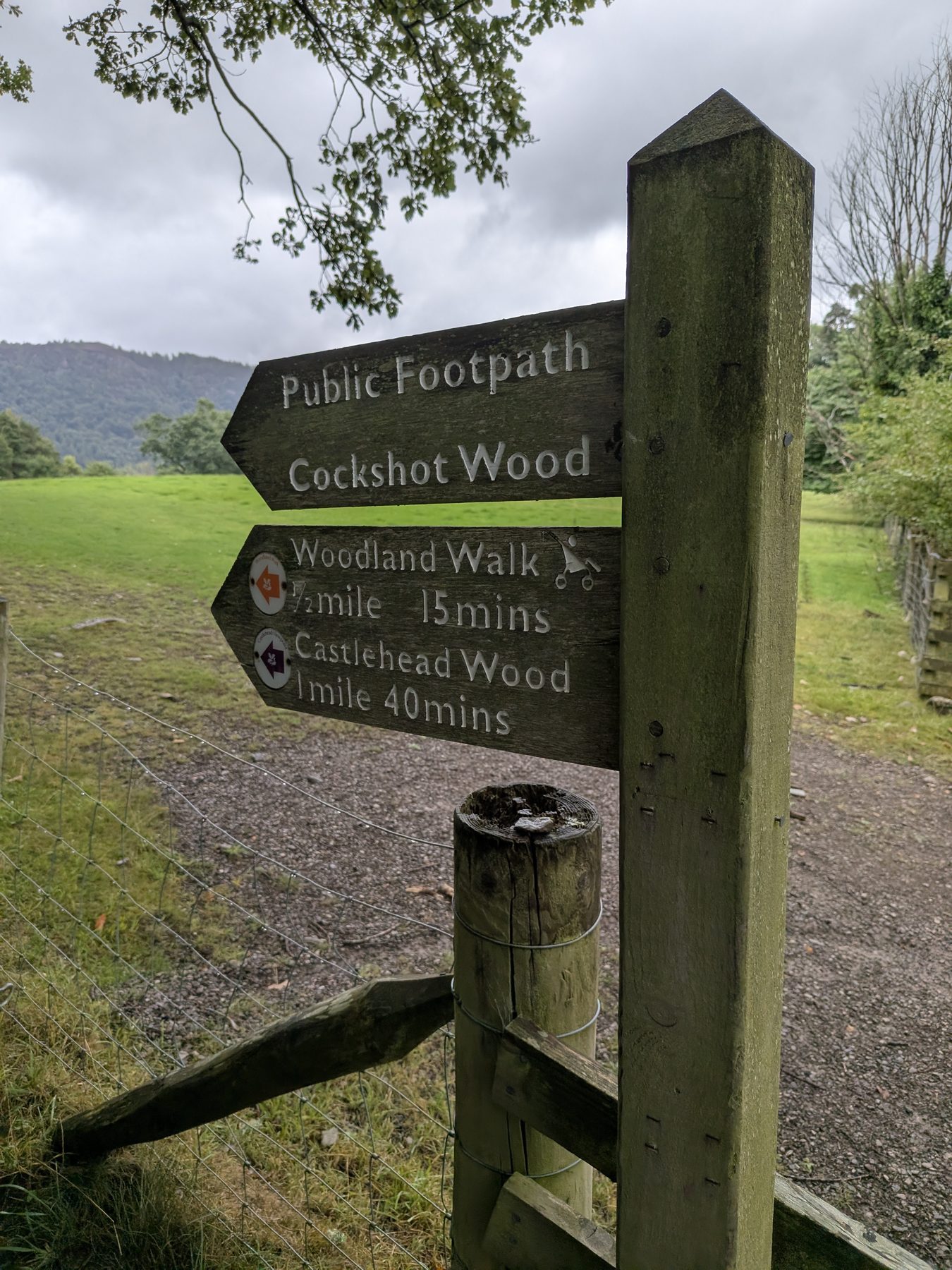
  2. 2. At the crossroads go straight on, between the two farm gates. The National Trust fingerpost here reads Cockshot Wood, Woodland Walk ½ mile, Castlehead Wood 1 mile — you want Castlehead Wood.

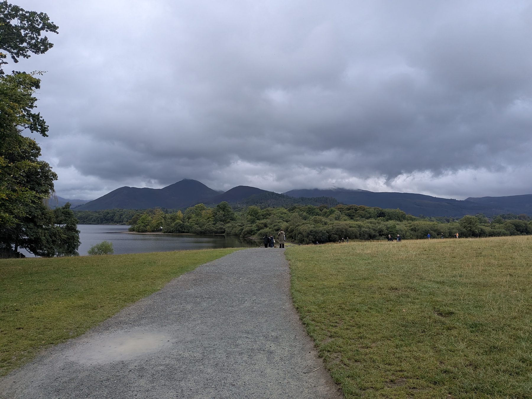
    The lane leading away from the Theatre by the Lake at the start of the Castle Head walk, Keswick
    Step 1: standing at the Theatre by the Lake, looking down the lane you set off along.
    The National Trust fingerpost at the path crossroads on the Castle Head walk, Keswick
    Step 2: the fingerpost at the crossroads.
  3. 3. Carry on for roughly 100 metres and you come out on Borrowdale Road (the B5289). Cross it carefully — it is a proper road with traffic.

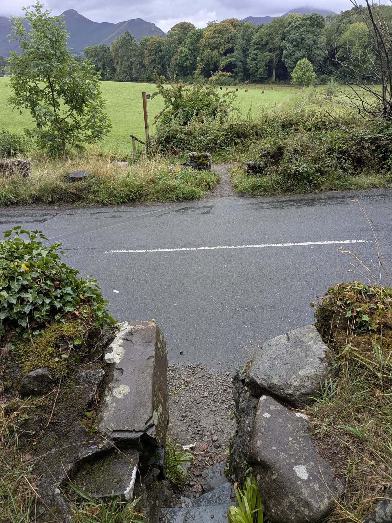
  4. 4. On the far side, go through the stone stile in the wall. The path then works around the bottom of the hill to the far side before it starts climbing.

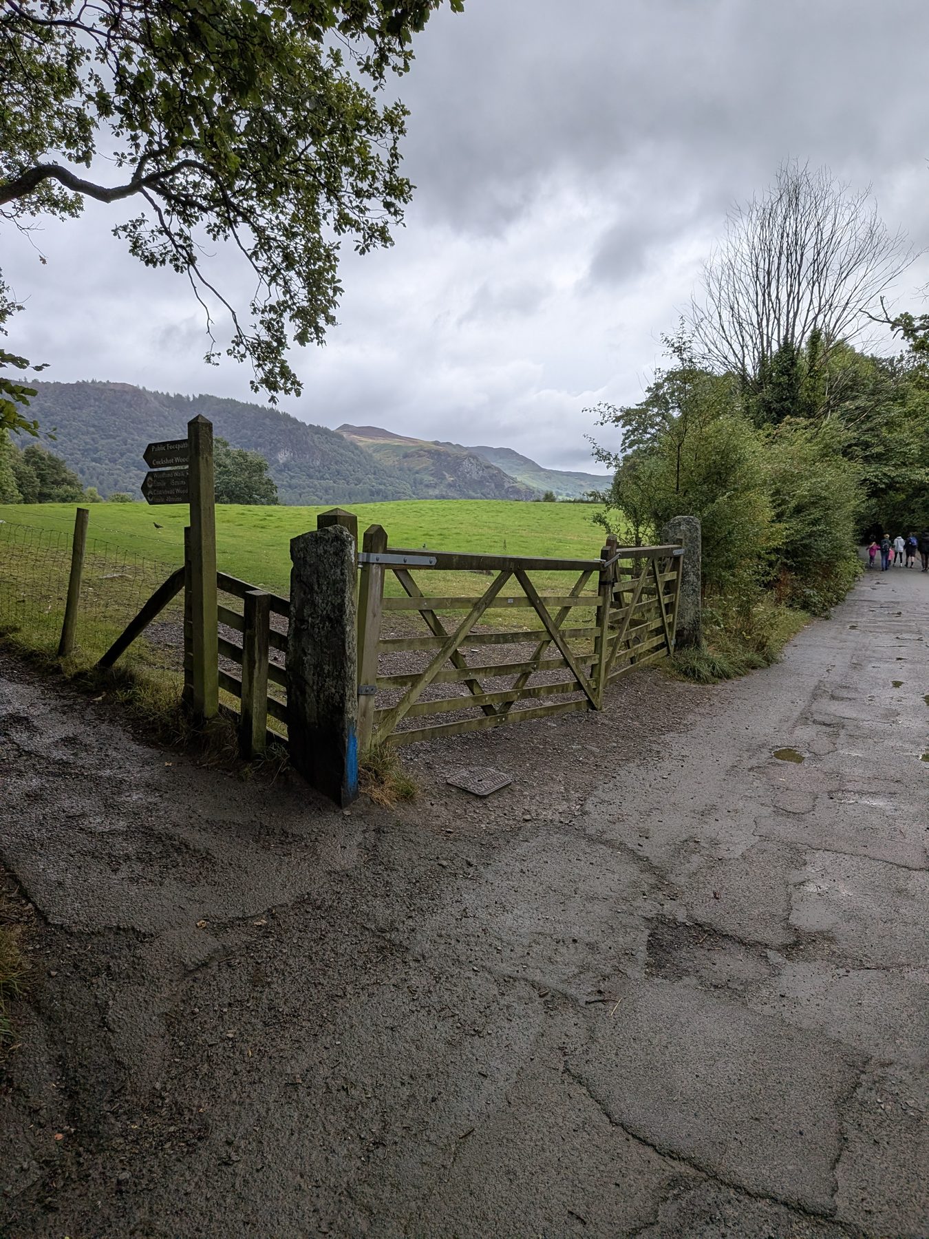
    The path between the two farm gates towards Cockshot Wood on the Castle Head walk, Keswick
    Step 3: straight on between the two farm gates.
    The stone stile through the wall at the Borrowdale Road crossing on the Castle Head walk, Keswick
    Step 4: the stone stile at the Borrowdale Road crossing.
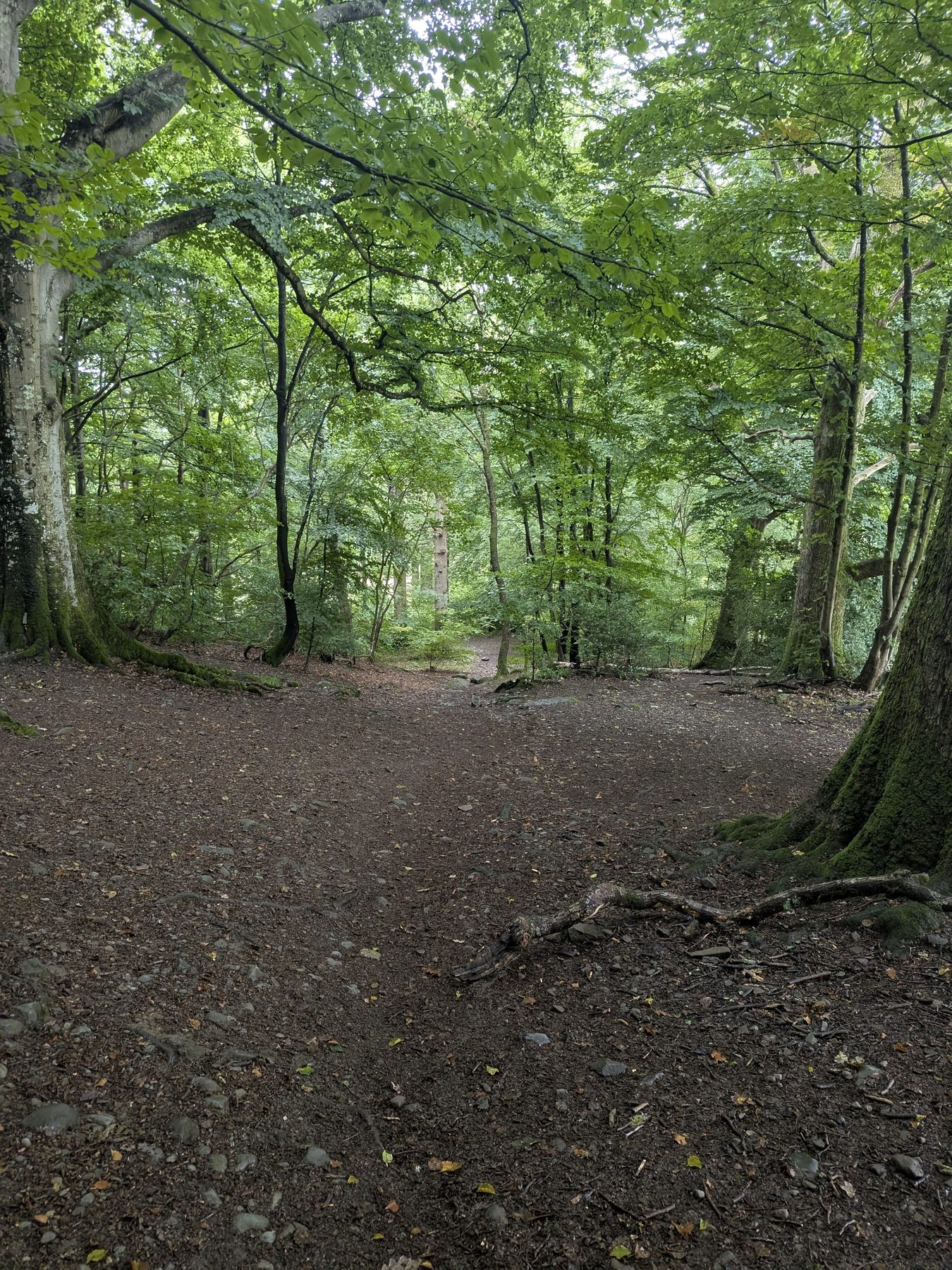
  5. 5. Now the climb — fairly steep, and turning to loose stone and then bare rock as you near the top. It is short, but it is the part that decides what you want on your feet.

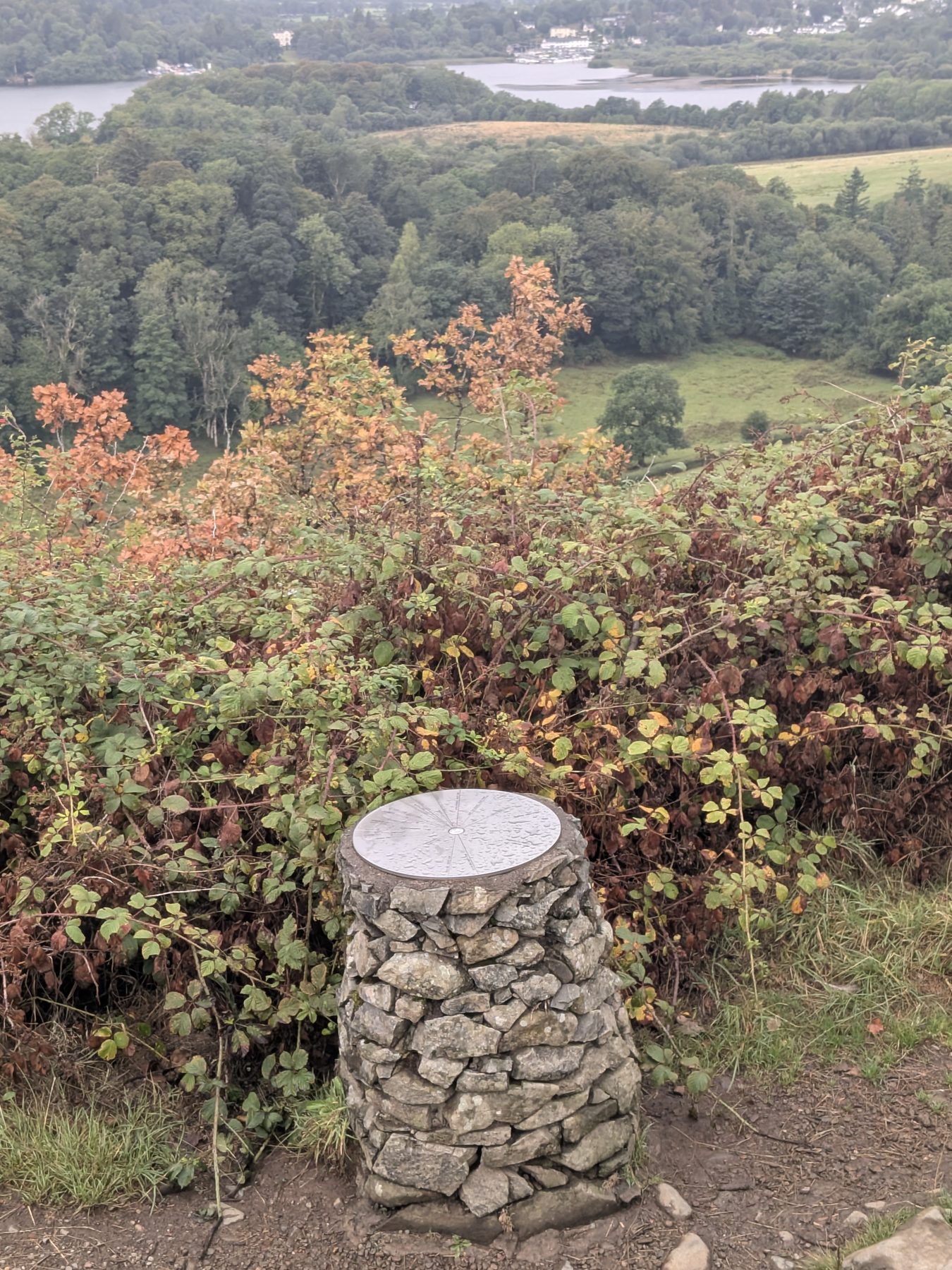
  6. 6. The summit has a bench and a toposcope, and the full Derwentwater panorama in front of you. Sit down. This is what you came for.

    The climbing path up Castle Head near Keswick, Lake District
    Step 5: the climb — loose stone near the top.
    The summit of Castle Head with its bench and toposcope above Derwentwater, Keswick
    Step 6: the bench and toposcope at the top.
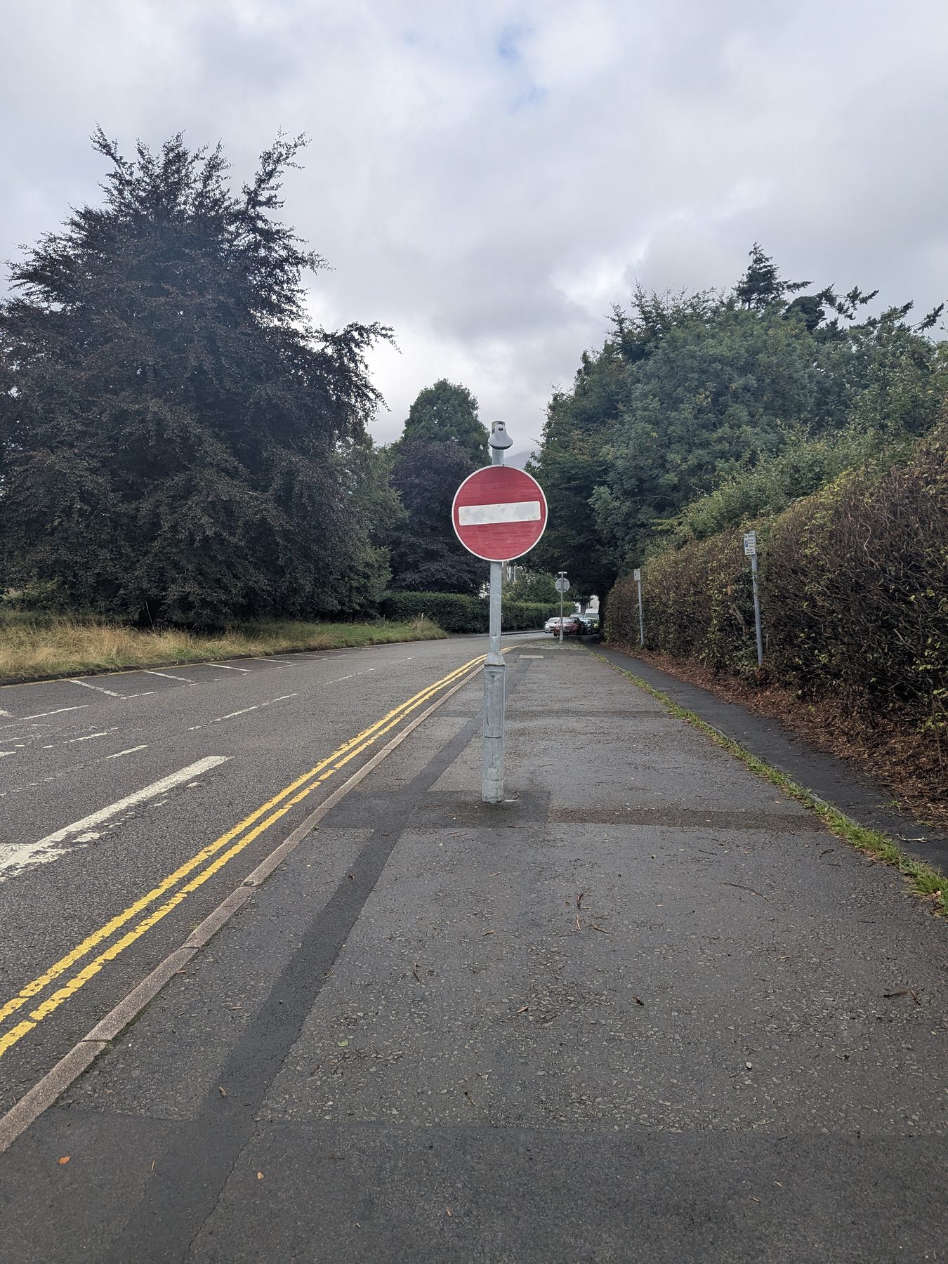
  7. 7. Drop back down to Borrowdale Road. The path comes out exactly where the pavement into Keswick starts, so there is no road walking without a footway — then it is about 150 yards through the no-entry signs and you are in the town centre.

    The path emerging at the no-entry signs on the walk back into Keswick town centre
    Straight on at the no-entry signs for the town centre.
Wear proper boots. The last stretch to the summit is loose stone and bare rock. It is absolutely fine if you are sure-footed, but it is not a trainers-and-a-pushchair path like Friars Crag.
Dogs on a lead. There is livestock in the fields alongside the route.

Nearest pub / refuel

Nearest pub: The Wainwright on Lake Road — the first pub you reach coming off the route.

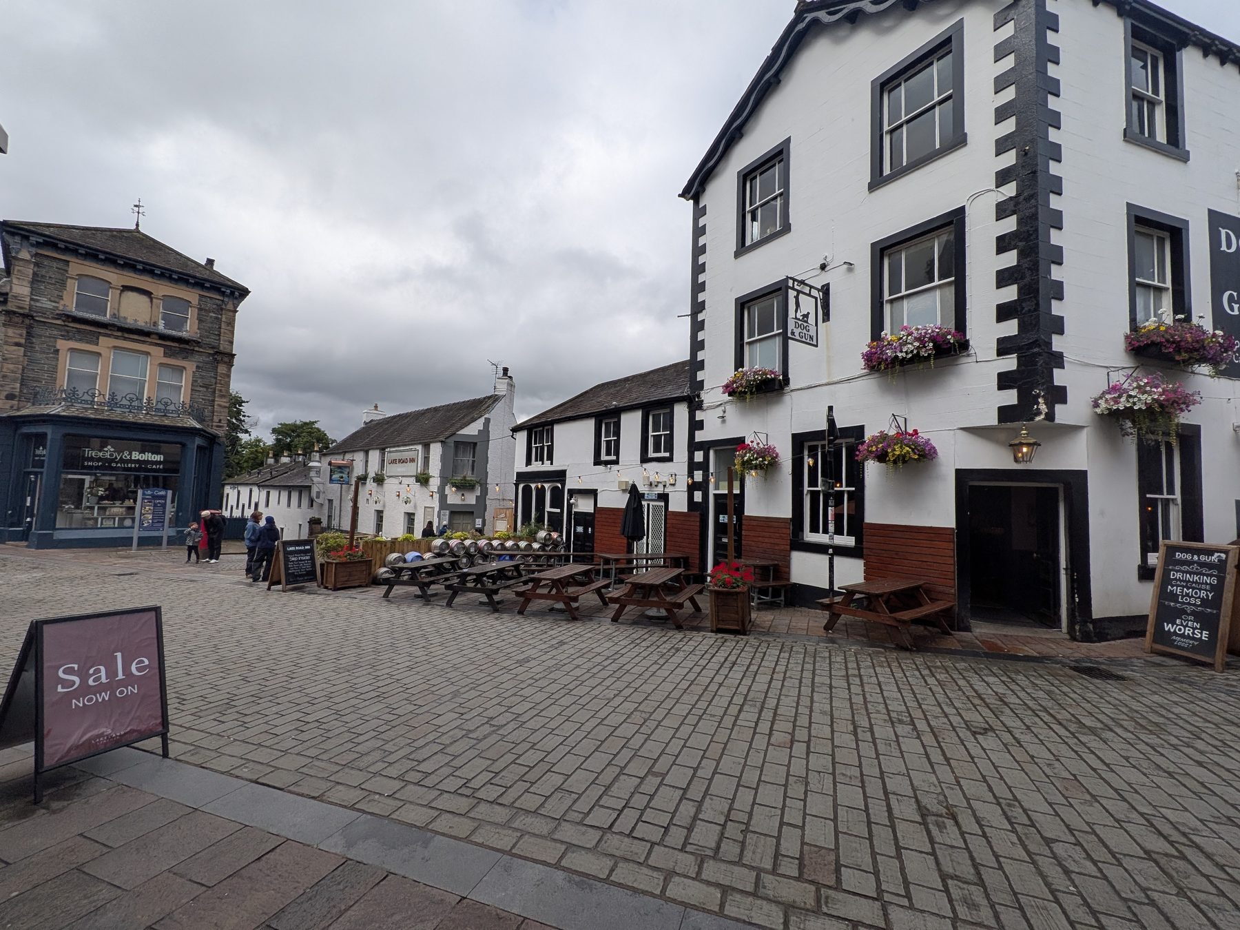
Worth knowing if you set off early: their own site gives food as noon–3pm and 5–9pm (checked August 2026), so a morning finish can beat them to it. If it's shut, the Dog & Gun and the Lake Road Inn are about 50 yards further into town.

Pubs in Keswick town centre at the end of the Castle Head walk
The walk finishes a few minutes from all three.
Dog-friendly (on lead) Lake views Circular Not a Wainwright
The old railway path between Keswick and Threlkeld

Keswick to Threlkeld railway trail

The flat one · prams, wheelchairs, dogs and bikes

Easy

Distance

3.2 mi one way

Time

~1 hr 9 one way

Ascent

Flat

Terrain

Surfaced, step-free

The old railway line along the River Greta, and the walk locals actually use when everyone in the party has to be able to do it. It runs on the trackbed of the Keswick to Penrith Railway, so it is flat the whole way and surfaced end to end, with a tunnel partway along and a run of bridges over the river. It is also unusually wide — several prams abreast, or three bikes side by side. There are at least ten points to join or leave it, so you do not have to walk the whole thing; the exit at the petrol station on Penrith Road puts you about fifty yards from the Twa Dogs. Dog-friendly, buggy-friendly and genuinely wheelchair-friendly.

Step-free and traffic-free. Miles Without Stiles graded — no stiles, no steps, no road walking.

Start: Keswick Leisure Centre, Station Road — ///daffodils.alone.clarifies (CA12 4NE). Or from Threlkeld at the other end — ///befitting.slides.ladder

Parking: At the leisure centre, in Threlkeld village, or on Penrith Road (CA12 4SP) for the midpoint

Find it: Search "Keswick Leisure Centre" in Google Maps · walkable from the town centre

Nearest pub / refuel

Halfway: the Twa Dogs, Penrith Road. At the far end: the Horse & Farrier, Threlkeld.

Dog-friendly Miles Without Stiles Bikes welcome Not a Wainwright
Ashness Bridge packhorse bridge above Derwentwater near Keswick, Lake District

Surprise View & Ashness Bridge

The most-photographed bridge in the Lakes · two viewpoints

Easy

Distance

Short walks · combinable

Time

30 min – 1 hr

Ascent

Short uphill path

Terrain

Path & woodland

Two of the best short viewpoints near Keswick, on the eastern Borrowdale road. Ashness Bridge is the most-photographed packhorse bridge in the Lakes, with Skiddaw framed beyond it; a little higher up, the dramatic Surprise View opens out over the full length of Derwentwater from the crags above. The two can easily be combined — a short uphill path links Ashness Bridge to Surprise View through the woods — making a lovely, low-effort outing with huge reward. For the wider hub take on these spots as attractions, see the Keswick hub. Dog-friendly.

Start: Off the B5289 Borrowdale road on the east side of Derwentwater — Ashness Bridge then up to Surprise View

Parking: NT Ashness Bridge car park (CA12 5UN) or NT Surprise View car park (CA12 5UU) — small, fill early

Find it: Search "Ashness Bridge car park" in Google Maps

Dog-friendly Lake views Photo hotspots Not a Wainwright
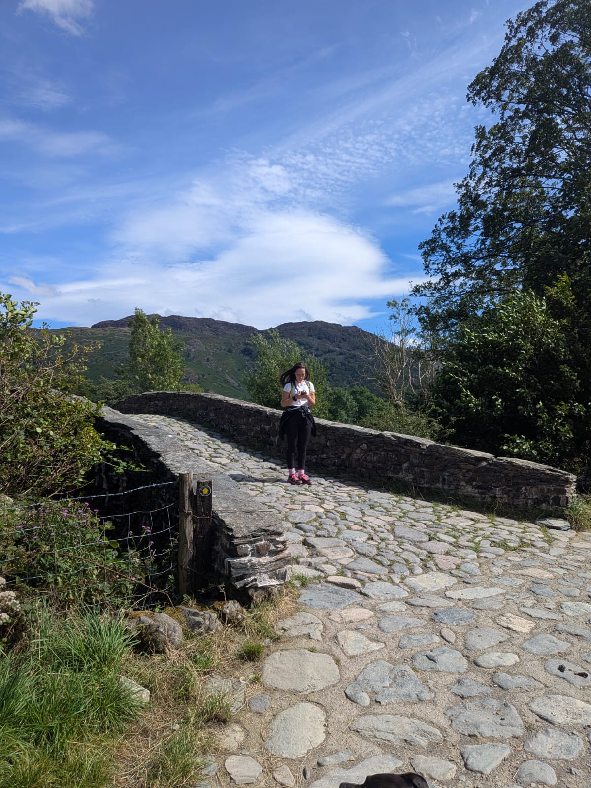
The cobbled packhorse bridge on the Borrowdale circular walk near Rosthwaite, Lake District

Borrowdale circular from the Bowder Stone

Rosthwaite, the river back to Grange · walked and timed

Easy

Distance

5.72 mi circular

Time

2h 28m moving · 3h with stops

Ascent

Low level

Terrain

Tarmac, farm track, loose slate

A mile of valley road south from the Bowder Stone to Rosthwaite, then north along the River Derwent through the wooded gorge to Grange and back up the road. A cave, an abandoned quarry, a cobbled packhorse bridge and river swimming on the way — plus one fork in the woods that catches people out. Walked, timed and photographed on 8 August 2026.

Start: Bowder Stone car park, off the B5289 between Grange and Rosthwaite

Parking: National Trust pay & display, plus a layby on the road outside at ///arrive.frostbite.tasteful

Footwear: boots or a stiff sole — the slate and quarry section is loose broken rock

Refuel on the route

The Flock-In and Walkers Café at Rosthwaite, roughly a third of the way round; the Grange Café near the end.

Dog-friendly Circular Toilets at Rosthwaite Not a Wainwright
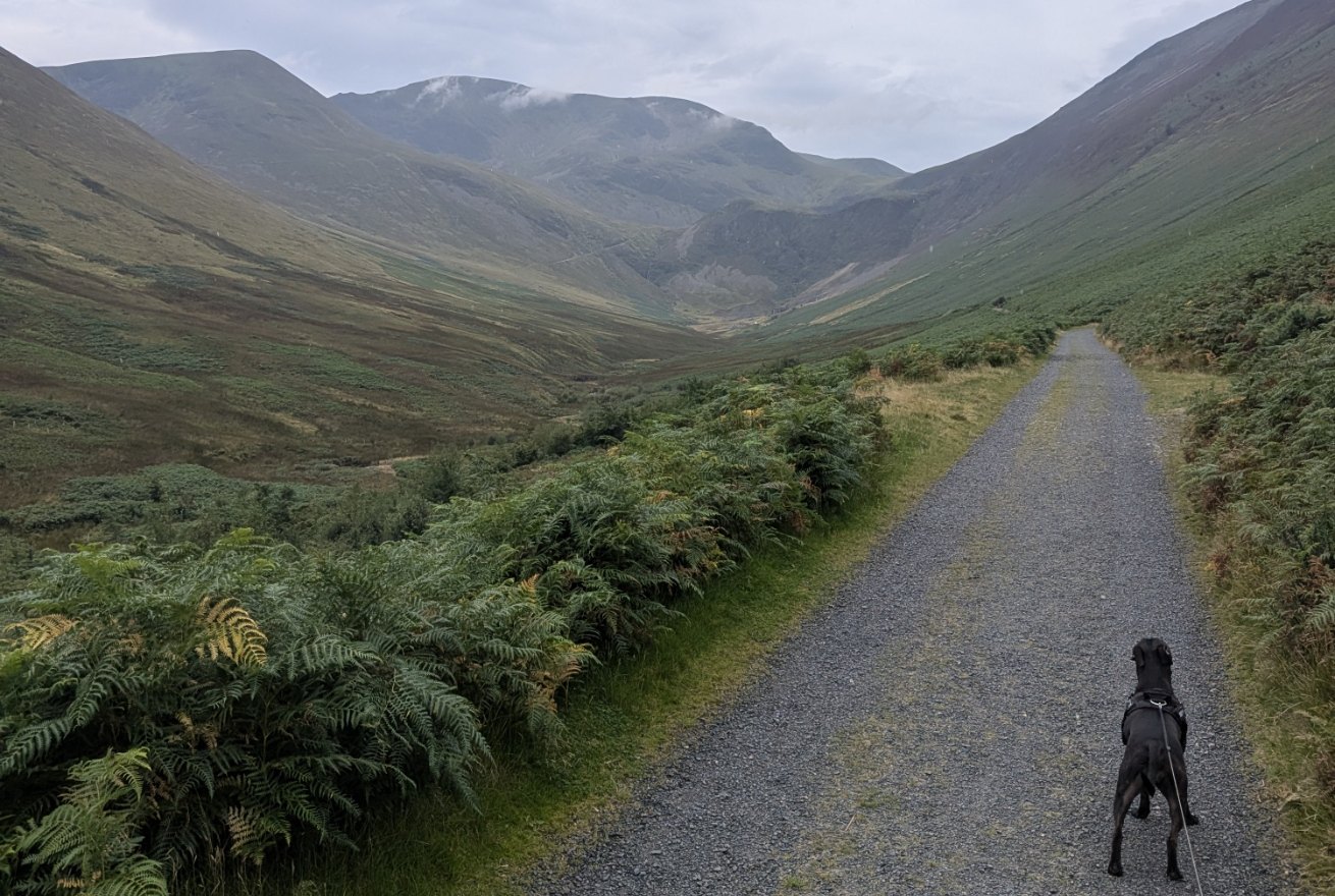
Cass, a Staffordshire Bull Terrier, on the wide gravel track into Coledale towards Force Crag Mine, Braithwaite, Lake District

Force Crag Mine, Braithwaite

A wide, flat mine track to an industrial ruin

Easy

Distance

5.2 mi out and back

Time

1h 40m moving · allow 2–2.5 hrs

Ascent

~240 m from the village

Terrain

Wide, surfaced mine track

From Braithwaite, out along the mine's own access track into Coledale to the ruins of Force Crag Mine — the last working metal ore mine in the Lake District, by the National Trust's account, and now a Scheduled Monument. There is one climb, at the very start; after that the track runs close to flat with the mine buildings in sight from a long way off. Fine in trainers, and wide enough for bikes and buggies. Not to be confused with the Coledale Round, which is a hard fell day above this valley.

Start: the informal pull-in off the Whinlatter road (B5292) outside Braithwaite — ///jeeps.startles.hushed

Parking: free, five or six cars, fills early. The village primary school opens its grounds at weekends and in school holidays only, for a suggested donation

By bus: Braithwaite (Croft Terrace) — the X5 year-round, and the seasonal 77/77A Honister Rambler from Keswick

Nearest pub / refuel

The walk finishes in the village: the Royal Oak is on the route itself, with the Coledale Inn just above it and Braithwaite House for supplies beforehand.

Dog-friendly (lead) Bikes welcome Scheduled Monument Not a Wainwright
Moderate

Moderate walks from Keswick

The Derwentwater panorama from Walla Crag near Keswick, Lake District

Walla Crag

The quieter viewpoint fell · a Wainwright

Moderate

Distance

4–5 mi circular

Time

2.5–3 hrs

Summit

379 m

Terrain

Fell paths (no scramble)

The craggy viewpoint fell on Derwentwater's eastern side — 379 metres, with a superb lake panorama and, for many walkers, the equal of Catbells for views with a fraction of the crowds. It's usually done as a circular of 4–5 miles from Keswick or Great Wood, climbing through woodland to the airy edge above the lake. Walla Crag or Catbells? Both are excellent: Catbells is the more famous ridge, but Walla Crag is quieter, slightly easier underfoot and not a scramble — so if you want the big Derwentwater view without the queues, this is the pick. It IS a Wainwright. Dog-friendly on a lead near stock.

Start: Great Wood (off the B5289 Borrowdale road), or walk in from Keswick via Springs Wood

Parking: NT Great Wood car park (off the Borrowdale road) — pay & display

Find it: Search "Great Wood car park, Keswick" in Google Maps

Nearest pub / refuel

Nearest pubs: the Dog & Gun and the Lake Road Inn, back in Keswick town centre.

Dog-friendly Lake views Circular Wainwright
The view over Keswick and Derwentwater from Latrigg, Lake District

Latrigg

The easiest big view in the Lakes · a Wainwright

Easy–Mod

Distance

2–3 mi

Time

1–1.5 hrs

Summit

368 m

Terrain

Gentle fell path

The little fell directly behind Keswick — 368 metres and, from the high start, possibly the easiest big view in the whole Lake District. From the Gale Road / Underscar car park, high on the flank of Skiddaw, a gentle path leads up in a mile or so to a panorama over Keswick, the full sweep of Derwentwater and the Skiddaw massif for minimal effort. It's the perfect short walk when you want a proper summit view without a fell day, ideal for families and first-timers. It IS a Wainwright — the "easiest fell" answer for the Keswick side. Dog-friendly throughout.

Start: Gale Road / Underscar high car park (above Keswick, near the Skiddaw path) — the easy high start

Parking: Gale Road car park (free, fills early); or walk up from Keswick town for a longer round

Find it: Search "Latrigg, Gale Road car park" in Google Maps

Nearest pub / refuel

Nearest pubs: the Dog & Gun and the Lake Road Inn, down in Keswick town centre.

Dog-friendly Lake views Loop possible Wainwright
Waymarked forest trails at Whinlatter Forest near Keswick, Lake District

Whinlatter Forest

England's only true mountain forest · waymarked trails

Moderate

Distance

Waymarked trails (varies)

Time

1–3 hrs

Ascent

Moderate (trail-dependent)

Terrain

Forest tracks & paths

England's only true mountain forest, on the hills west of Keswick — a network of waymarked walking trails climbing through the trees to fine views over Bassenthwaite and the Skiddaw fells. It's a brilliant all-weather, family option, with red squirrels in the woods and a visitor centre at the heart of it. This card is about the walking trails; for Go Ape, the bike trails and the wider attraction, see the Keswick hub. Dog-friendly on the forest paths.

Start: Whinlatter Forest visitor centre, on the B5292 west of Keswick (above Braithwaite)

Parking: Whinlatter visitor centre car park (charged)

Find it: Search "Whinlatter Forest" in Google Maps

Dog-friendly Forest & squirrels Circular trails Not a Wainwright
Standing stones of Castlerigg Stone Circle with the fells of St John's in the Vale behind, near Keswick

Castlerigg Stone Circle walk

Railway path, steep lane and a stone circle · circular

Moderate

Distance

~5 mi / 8 km circular

Time

2.5–3.5 hrs with stops

Ascent

~168 m

Terrain

Railway path, lane, fields, steep descent

Most people drive up and park on the verge — but the circle makes far more sense when you have climbed to it. Out of town on the old railway path, right at the signed fork, then a steep lane up to the stones. The way back runs on field paths past The Lookout at Castlerigg Hall and down a short, sharp footpath to Brockle Beck and a tea room. Walk it in that direction: the descent is stepped, slippery and unlit, so it is far better taken in daylight on fresh legs. The circle itself is somewhere between about 4,500 and 5,000 years old — the date is genuinely disputed. Dog-friendly on a lead throughout; there is livestock and one A591 crossing.

Start: Keswick town centre, joining the Keswick–Threlkeld railway path

Parking: none needed — walk from town. Roadside parking at the circle itself is limited and fills early

Toilets: none at the circle. Hungry Heifer Café and Castlerigg Gallery are on the route — both keep their own hours

Nearest pub / refuel

On the route: Annie’s Pantry at Springs Farm, near the finish — listed as 10am–4pm except Mondays and Fridays, so check first. At the finish: The Wainwright on Lake Road.

Dog-friendly (lead) Prehistoric site Circular Not a Wainwright
Difficult

Difficult fells & mountain days from Keswick

No walks match those filters.

Try clearing a feature or switching difficulty.

Keep exploring

More walks & nearby guides

Keswick connects to the best of the northern Lakes — Derwentwater swims, the town's attractions and the wider walking guide.

Plan your whole Keswick day around a walk

Free, no sign-up. Tell the planner which walk you fancy, your transport and the weather — it builds a timed day around it, with parking, lunch and bus times sorted.

Open the free Lakes Planner

Common questions

Keswick walks, answered

What are the best walks in Keswick?
Keswick is the walking capital of the northern Lakes. The standout walks are Catbells (the famous beginner's ridge fell above Derwentwater), Friars Crag (the classic short lakeshore viewpoint), Walla Crag (a craggy panorama on the lake's east side) and Latrigg (the easiest big view in the Lakes). Castle Crag in Borrowdale is the short-but-mighty option for stronger walkers.
Can a beginner climb Catbells?
Yes — Catbells (451m) is the classic first fell of the Lake District: family-friendly, well-trodden and a short but proper little mountain. There are a couple of easy hands-on scrambly steps, so proper footwear is better than trainers, but it's great with kids and dogs and is one of the nation's favourite walks.
Walla Crag or Catbells — which is better?
Both give superb Derwentwater views. Catbells is the more famous ridge and the bigger-name fell, but it gets busy. Walla Crag (379m, east side of the lake) is quieter, slightly easier underfoot and not a scramble — so if you want the views without the crowds, Walla Crag is the pick.
What's the easiest fell near Keswick?
Latrigg (368m), directly behind Keswick, is probably the easiest big view in the Lakes. From the high Gale Road / Underscar start the path is gentle, and the reward is a panorama over Keswick, Derwentwater and the Skiddaw massif for minimal effort.
How do you get to Catbells from Keswick?
The iconic approach is by boat, bus or boots. The easiest option is to park in Keswick (Lakeside Long Stay) and take the Keswick Launch across Derwentwater to Hawes End (about 10 minutes), which avoids the parking scramble. There is limited free roadside parking near Hawes End / Skelgill (grid NY 245 211) but it fills very early and the lanes are narrow.
Where do you park for Walla Crag?
The usual start is the National Trust Great Wood car park off the Borrowdale road, which gives a direct circular up to the summit and back via Rakefoot. You can also walk it from Keswick itself.
Are there easy lakeshore walks near Keswick?
Yes — Friars Crag is the classic, a short level lakeshore walk to a headland viewpoint over Derwentwater that's Miles Without Stiles accessible and buggy-friendly. The wider Derwentwater shore offers easy, mostly level walking with plenty of swimming spots along the way.