🚶 A walk, not a hike — flat, surfaced and wide enough for prams, bikes and dogs the whole way.
3.2 miles one way Step-free Dog-friendly
Keswick · Easy · 3.2 miles one way
The Keswick to Threlkeld railway trail
The old railway line along the River Greta — flat, surfaced and wide, from the edge of Keswick out to Threlkeld. You can walk all of it, or any part of it, and it works with a pram, a wheelchair, a dog or a bike.
Written and walked by Peter·A Cumbrian family guide, written in Penrith
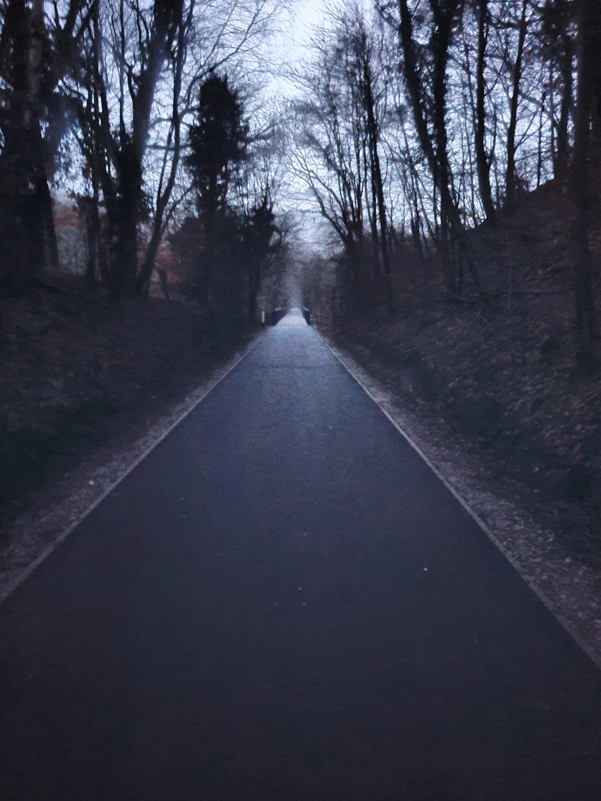
Almost everything written about walking near Keswick sends you up something. This does not. The railway trail runs along the floor of the River Greta valley on the trackbed of the old Keswick to Penrith Railway, which means it was engineered for locomotives and is therefore flat — properly flat, the whole way, with a made surface underfoot from one end to the other.
It is also unusually wide. You can walk several prams abreast, or ride three bikes side by side, or keep a group together in a line rather than strung out in single file. Nobody has to step into a hedge to let a bike past. That width, more than anything else, is what makes it the route locals use when they want a walk that everybody in the party can actually do together.
It is 3.2 miles one way, a little over an hour at an ordinary pace, and 6.4 miles there and back at around two hours twenty. It is entirely off-road — no traffic at any point — and there are no stiles, no gates to wrestle and no steps, which is why it carries a Miles without Stiles grading from the National Park.
The old railway line between Keswick and Threlkeld — wide, level and surfaced throughout
Want the honest version? The first mile out of Keswick is hemmed in and a bit enclosed. The trail opens out properly once you are through the tunnel — so if you only have half an hour, walk from the Threlkeld end instead.
Step by step
The route, Keswick to Threlkeld
1
Out of Keswick
The trail begins behind Keswick Leisure Centre on Station Road, on the site of the town's old railway station — the line closed in 1972 and the trackbed became this. The first stretch is the enclosed one: fenced on both sides, pleasant enough but with the views held back.
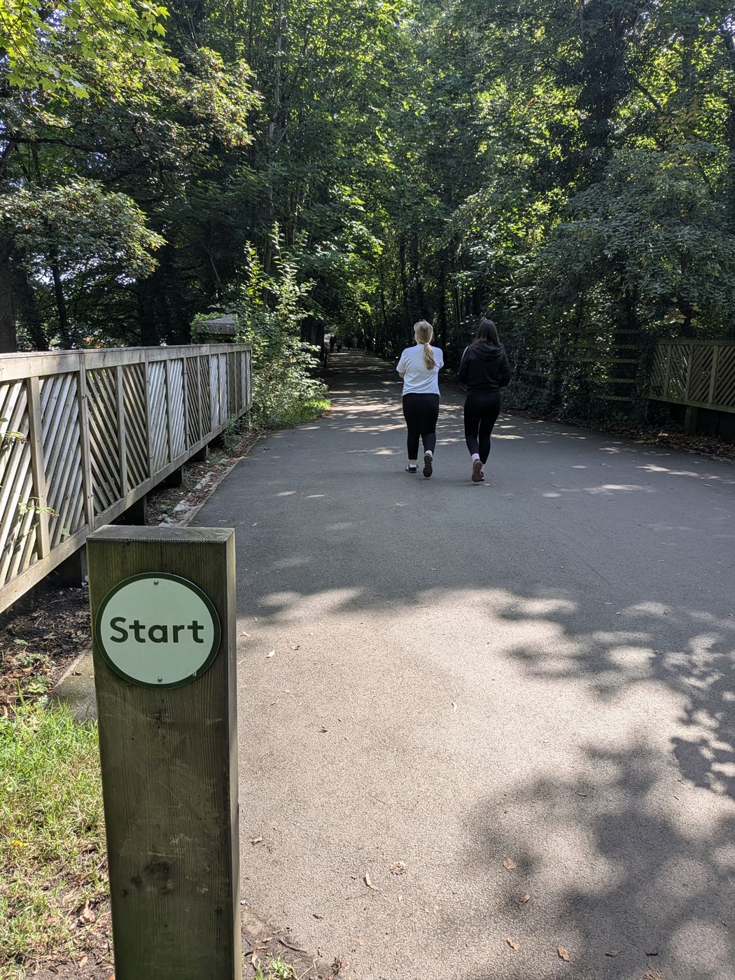
A wooden post with a green "Start" roundel stands beside the path here. It is the Keswick parkrun start rather than an official marker for the trail itself — but as a landmark it does the same job, and if you can see it you are in the right place.
The parkrun start post at the Keswick end of the trail — a useful landmark, though it marks the parkrun rather than the trail
The signed fork for Castlerigg Stone Circle
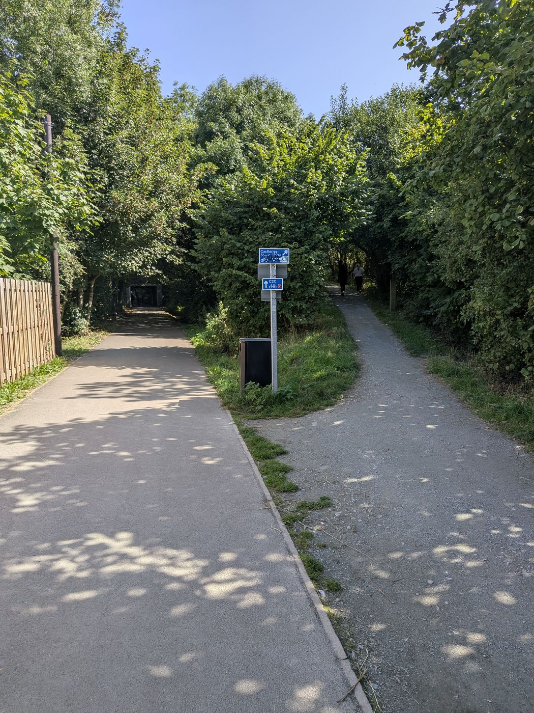
Not far out of Keswick a gravel path forks right off the surfaced trail, signed Castlerigg Stone Circle on a blue fingerpost with C2C cycle-route signage below it. Carry straight on and you stay on the railway trail for Threlkeld; bear right and you are on the climb to the stone circle.
It is the start of a genuinely good circular — about five miles, back into Keswick down a steep footpath past a tea room.
The fork: surfaced path straight on for Threlkeld, gravel path right for Castlerigg
2
Along the River Greta
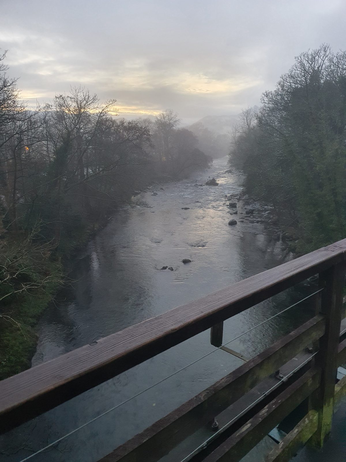
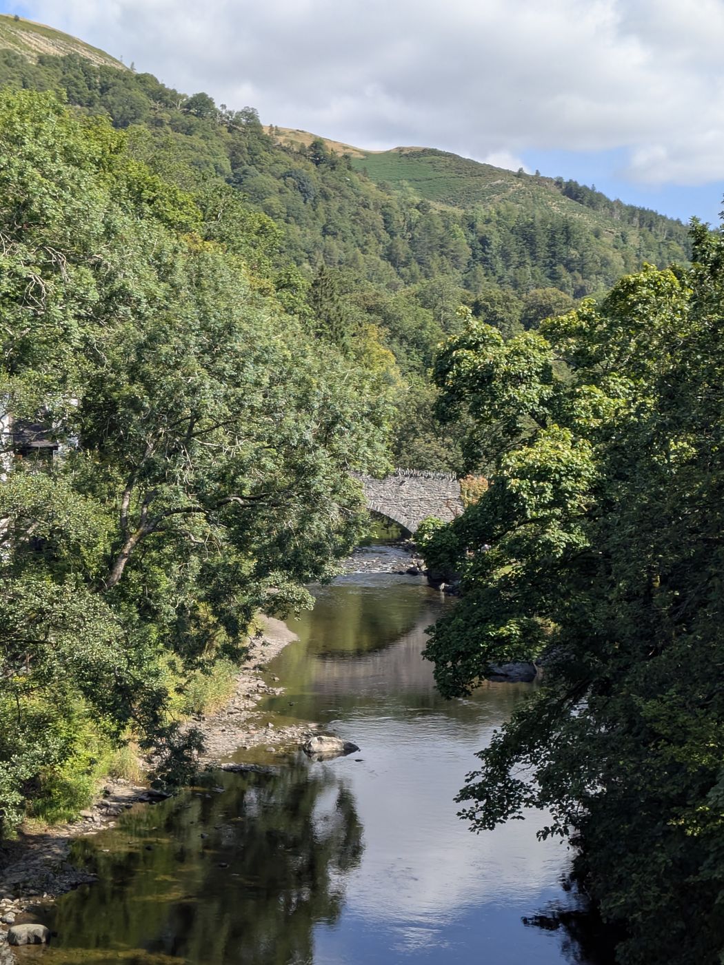
The path settles in beside the river and stays with it. The Greta is the whole character of this walk — it swings from side to side beneath you, and the trail crosses it again and again on the old railway bridges rather than climbing away from it.
Beside the River Greta — the river is with you for most of the routeA stone bridge over the Greta, in the first stretch out of Keswick
3
Through the tunnel
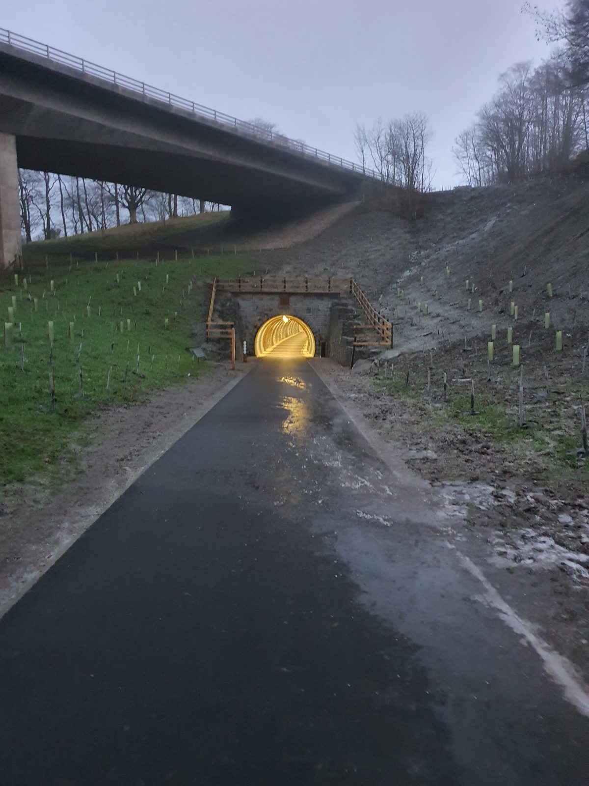
The old railway tunnel is the landmark of the walk and the point where the route changes character. Come out the far side and the valley opens up around you — this is where the trail earns its reputation.
4
The open middle
The best of it. Woodland, river, fellsides rising on both hands, and the bridges coming one after another. This is the section worth walking if you are only doing part of the trail.
A stop on the trail — dog-friendly and traffic-free from end to end
5
Into Threlkeld
The trail runs out at Threlkeld, a village sitting directly under Blencathra. There are public toilets in the village hall and coffee shop, about 300 metres from the end of the trail, and the Horse & Farrier for a proper stop. A permitted path also leads on to Threlkeld Quarry, about 1.2 km further, though that path is not suitable for all wheelchair users.
Along the old railway line towards Threlkeld
Walking it the other way? Threlkeld to Keswick works exactly as well, and it is the better direction if you want to finish in town with somewhere to eat. At the Keswick end the trail delivers you to the leisure centre, and it is about 100 metres down the road from there — past Fitz Park — into the town centre.
You don't have to do it all
Ten places to join or leave the trail
This is the part nobody writes down, and it is the thing that makes the trail usable for ordinary days out. It is not an all-or-nothing route. There are at least ten points along its length where you can get on or off — field gates, lane ends, footpath junctions and road crossings — so you can take on as much or as little of it as suits the legs you have with you.
In practice that means you can walk out for twenty minutes and turn round with no sense of having failed at anything, or start partway along and do the good bit, or split it across two visits from opposite ends.
The one worth knowing: the Penrith Road exit
Roughly halfway along, the trail passes the petrol station on Penrith Road (CA12 4SP) — a filling station and shop right on the roadside, and the easiest of all the access points to find. From there it is about fifty yards to the Twa Dogs (Penrith Road, CA12 4JU).
That is the answer to "can we do a shorter version". Half the trail, then a pub. Walk out from Keswick, stop there, and either turn for home or carry on having had a sit down.
You can pick the trail up at many points along its length
Getting there
Where to start and where to park
Keswick end
Keswick Leisure Centre
The trail starts from the back of the site. Keswick Leisure Centre is a working leisure centre and the landmark to aim for — postcode CA12 4NE, Station Road.
The town centre is about 100 metres away down the road, past Fitz Park, so you can walk to the start from anywhere in Keswick.
The petrol station on Penrith Road — a filling station and shop on the roadside, about halfway along the trail and the simplest mid-route access point to find. Postcode CA12 4SP.
The Twa Dogs (CA12 4JU) is about fifty yards away — the reason this is the most useful of the ten access points.
/// what3words — exact access point///elect.prude.hillsideA 3-metre square. More precise than the postcode.
Threlkeld end
Threlkeld village
The eastern end of the trail, under Blencathra. Start here and you get the open, scenic half of the route first rather than last.
Public toilets are in the village hall and coffee shop, about 300 metres from the trail end, and the Horse & Farrier is in the village.
Doing it one way? Park at whichever end you want to finish at, and travel out to the other end to start. Finishing in Keswick gives you the most choice of places to eat; finishing at Threlkeld gives you a quieter village and a pub.
What you're walking on
The tunnel, the bridges and the railway
The Keswick to Penrith Railway ran through this valley from the Victorian era until it closed in 1972. What is left is the engineering: a cutting, a tunnel, and a run of bridges carrying the line back and forth across the River Greta. Walking it is the closest most people get to standing on a working railway alignment without a train involved.
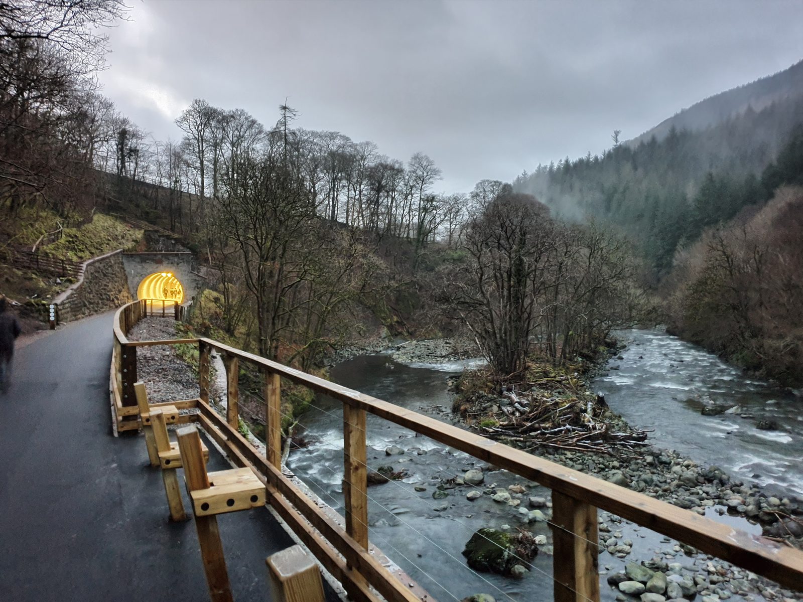
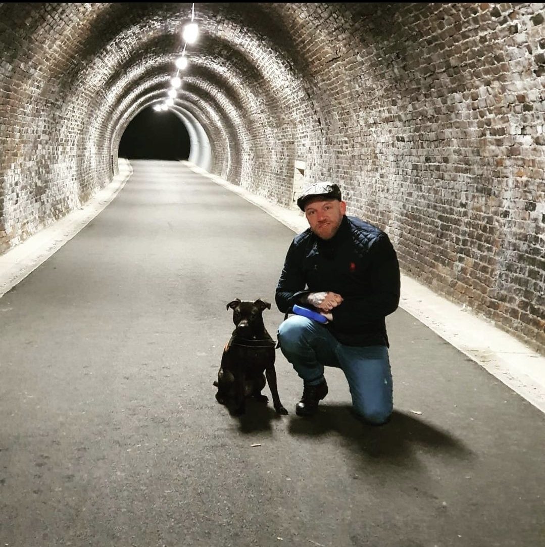
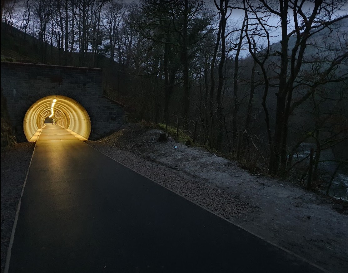
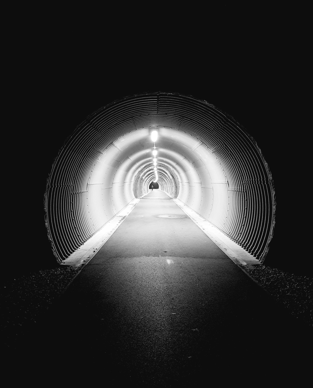
The tunnel is the one thing everyone remembers, and the point where the walk turns from enclosed to open. It is short, it is lit well enough to be unremarkable in practice, and children love it.
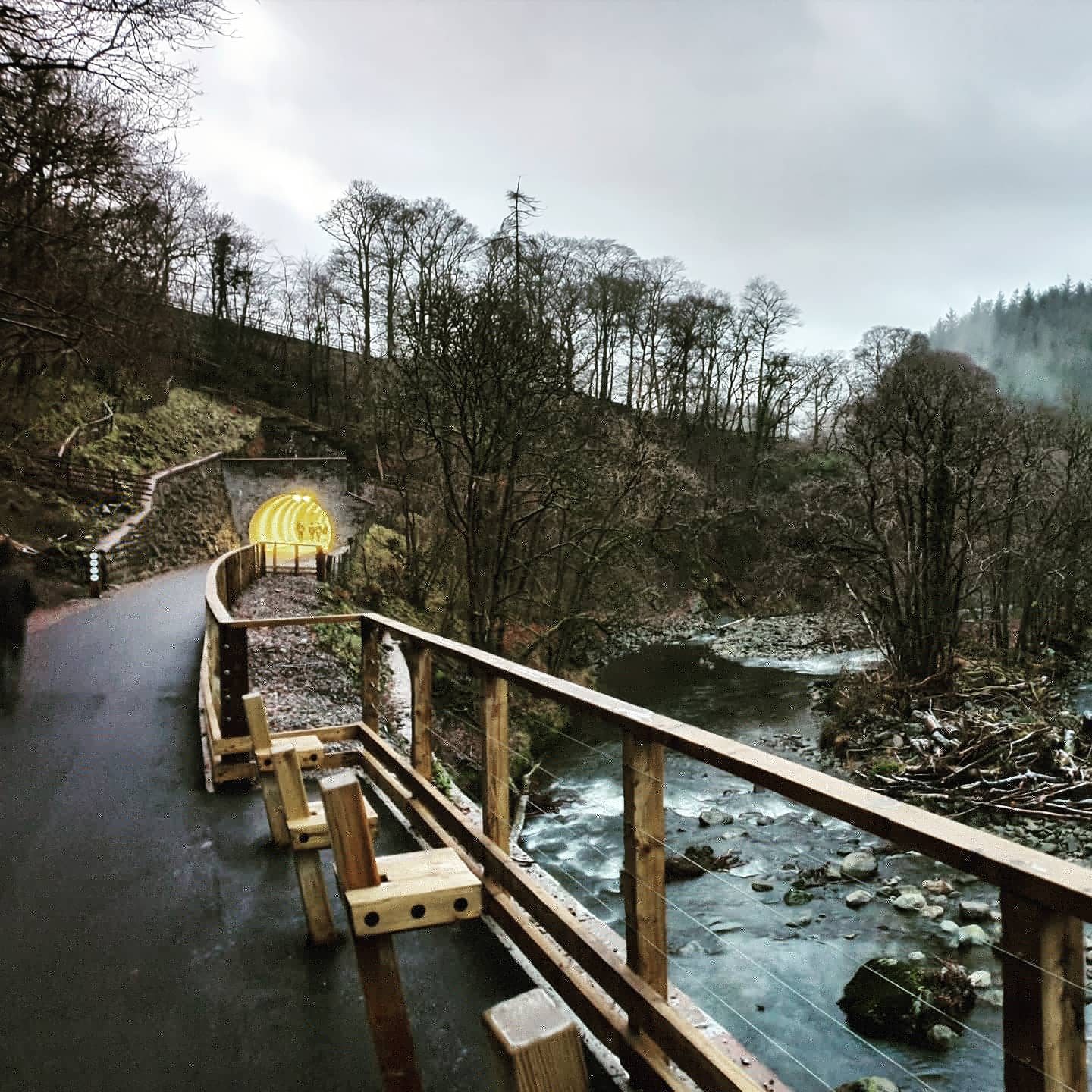
The tunnel mouth at dusk — the lit ribbed lining and the surfaced path running straight in
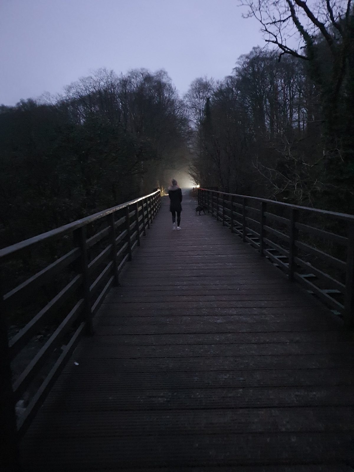
The bridges are a mix. Some are the original Victorian ironwork the line was built with. Others are modern spans, because Storm Desmond destroyed several of them in December 2015 and the route was impassable for five years afterwards. It reopened in December 2020 after a substantial rebuild — which is why the surface and the crossings are as good as they are today.
The trail totem frames that rebuild as more than a repair job: the restored route is presented as a showcase for sustainable development, which is a fair description of what it now does — it carries a great many people through the valley without a car, on a surface that suits wheels as well as boots.
The totem also carries a photograph that stops most people who read it: "Keswick lads, off to the front, 14 September 1914" — young men leaving from the station this trail begins at. It is worth a minute. The line was a working railway carrying real lives, and that is easy to forget on a pleasant afternoon walk along it.
The Lake District National Park Authority keep the official page for the route, including any current closures or diversions, at lakedistrict.gov.uk/k2t — worth a look before you travel, particularly after heavy weather.
The trail crosses the Greta repeatedly on the old railway bridges
The one-way question
Getting back from Threlkeld
It is a linear trail, so the return is the thing people plan around. There are three answers, and none of them is complicated.
Walk it back
The simplest option, and it makes the day a 6.4-mile round trip of around two hours twenty. The trail looks genuinely different in the other direction.
Bus
Threlkeld sits on the main road between Keswick and Penrith and is served by a regular bus. Check the operator for current times and fares before you set off.
Keswick has taxi firms and Threlkeld is a short run out of town. Worth booking ahead at busy times rather than expecting to flag one down in the village.
On two wheels
Riding it instead
The same qualities that make this a good walk make it the best family bike ride in the Lakes — flat, surfaced, traffic-free and wide enough for three riders abreast, so nobody is stuck in single file behind a nervous child.
You do not need to bring bikes with you. There are hire shops in Keswick town centre within easy reach of the trail head, doing both regular bikes and e-bikes.
Wide enough for bikes and walkers to share comfortably
Common questions
The railway trail, answered
How long is the railway path from Keswick to Threlkeld?
It is 3.2 miles (about 5 km) one way, and a little over an hour at an ordinary walking pace. There and back it is 6.4 miles and around two hours twenty. Because it is flat and surfaced the whole way, the timing is predictable — there is no climbing to slow you down.
Is there a walk along the old Threlkeld railway line?
Yes. The trail runs on the trackbed of the old Keswick to Penrith Railway, following the River Greta and crossing it repeatedly on railway bridges, some of them the original Victorian ironwork. It is fully off-road and surfaced from end to end, and it is used by walkers, runners and cyclists alike.
Where do you park for the Keswick to Threlkeld railway walk?
At the Keswick end, head for Keswick Leisure Centre, Station Road, CA12 4NE — the trail starts from the back of the site and the leisure centre is the findable landmark on satnav. There is parking in Threlkeld village at the other end, and roadside parking at the petrol station on Penrith Road (CA12 4SP) if you want to join the trail about halfway along.
What is the distance of the Miles Without Stiles trail from Keswick to Threlkeld?
3.2 miles one way, 6.4 miles there and back. It carries a Miles without Stiles grading from the Lake District National Park Authority because it is level, surfaced, and free of stiles, gates and steps for its entire length — usable with a wheelchair, a mobility scooter or a pushchair.
Can you walk it with a pram or a wheelchair?
Yes. It is surfaced end to end with no stiles and no steps, and it is wide — several prams abreast, comfortably. That width matters as much as the surface does, because it means you are never squeezing past oncoming bikes. It suits toddlers on foot just as well.
Do you have to walk the whole thing?
No — and most people do not. There are at least ten points along the trail where you can join or leave it, so you can walk any portion and turn back. The most useful is the exit at the petrol station on Penrith Road, roughly halfway, which leaves you about fifty yards from the Twa Dogs: half the trail, then a pub.
Why was the railway path closed for so long?
Storm Desmond tore out several of the bridges over the River Greta in December 2015, and the route was impassable for five years. It reopened in December 2020 after a major rebuild, with new spans set alongside the surviving Victorian bridges — which is why the crossings and the surface are in the condition they are today.
How do you get back from Threlkeld to Keswick?
Walk back along the trail, making it a 6.4-mile round trip; take the bus, since Threlkeld sits on the main Keswick–Penrith road and is served by a regular route; or take a taxi from Keswick, which is a short run. Check the bus operator for current times before you rely on it.
What are some good walks around Threlkeld?
Threlkeld sits directly beneath Blencathra, which rises straight out of the back of the village and is the serious day out from there. The railway trail is the gentle option, and the village works as a start or a finish for it.
Can you walk to Castlerigg Stone Circle from Keswick?
Yes — and the walk begins along this trail. A short way out of Keswick, a gravel path forks right off the surfaced railway path, signed Castlerigg Stone Circle with C2C cycle signage below, and climbs a lane to the circle: roughly a mile and a half from the town centre. The full circular comes back down a steep footpath into Keswick and is about five miles. See the Castlerigg Stone Circle walk for the route, or the stone circle guide for the site itself.