Mere
Old English for a body of water that is broad relative to its depth. Windermere, Buttermere, Grasmere, Thirlmere. Because "mere" already means lake, "Lake Windermere" is a tautology — it says lake twice.
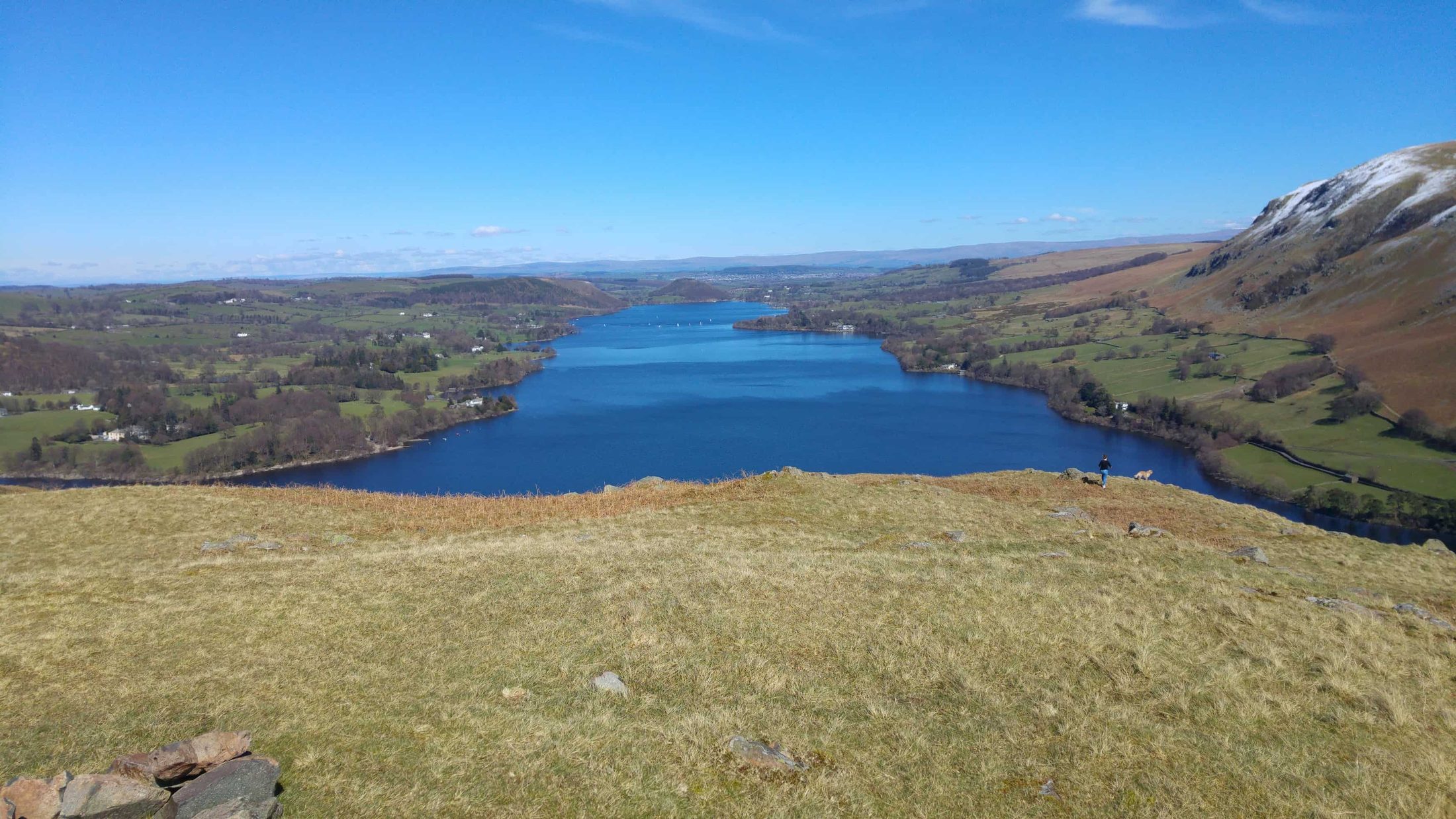
Sixteen — and only one of them is officially a "lake". The full sortable list, the records, the man-made truth, and a map.
The short answer
There are 16 major lakes in the Lake District — yet only one, Bassenthwaite Lake, is officially called a lake. The rest are meres, waters and reservoirs. Windermere is the largest (14.8 km²), Wastwater the deepest (76 m), and Thirlmere and Haweswater are reservoirs — natural lakes that were dammed and raised. The full sortable list is below.
The "16 lakes" answer needs one honest caveat: it counts the major bodies of water — the ones with names you'll recognise and shores you can walk. Beyond those sixteen, the fells hold hundreds of smaller tarns (mountain pools like Easedale Tarn, Blea Water and Tarn Hows), and where you draw the line between a small lake and a large tarn is a genuinely fun pub argument — Brothers Water, near Ullswater, is the classic borderline case, variously called the smallest lake or the largest tarn.
This page is the hub for our lake-by-lake guides. The sortable table below ranks all 16 by size and depth using the figures from Wikipedia's List of lakes of the Lake District, and as we publish a full guide to each lake, its row will link straight through. In the meantime the nearest-town column links to our town hubs, and the free Lakes Planner will build a day out around whichever lake you pick.
Meres, waters & tarns
The Lake District's names are a thousand years of language history in miniature — Old Norse and Old English, still doing their jobs.
Old English for a body of water that is broad relative to its depth. Windermere, Buttermere, Grasmere, Thirlmere. Because "mere" already means lake, "Lake Windermere" is a tautology — it says lake twice.
From the Old Norse vatn, brought by Viking settlers — the most common lake-name in the district. Ullswater, Derwentwater, Wastwater, Coniston Water, Crummock Water, Ennerdale Water, Esthwaite Water, Rydal Water, Elterwater, Loweswater.
From Old Norse tjörn — a small mountain lake, usually sitting in a glacial hollow high on the fells. There are hundreds: Easedale Tarn, Blea Water, Tarn Hows, Grisedale Tarn. Not counted in the 16.
Used officially exactly once: Bassenthwaite Lake, north of Keswick — a point the national park authority itself likes to make. So the pedant's answer to "how many lakes are in the Lake District?" is one. Ospreys fish it in summer — watch them from Dodd Wood.
The full list
Tap a column heading to sort by surface area or depth. Ordered by surface area to start. As we publish full guides to each lake, its name will become a link.
| Lake | Type | Valley / nearest town | Length | Surface area ▼ | Max depth | Swimming & boats | Notable for |
|---|---|---|---|---|---|---|---|
| Windermere | Mere | Windermere & Bowness | 16.8 km · 10.4 mi | 14.8 km² | 64 m (210 ft) | Swimming yes · powered boats yes, registration required · 10 mph limit | England's largest lake — 10.5 miles end to end; cruises and boat hire |
| Ullswater | Water | Glenridding & Pooley Bridge | 11.8 km · 7.3 mi | 8.9 km² | 63 m (207 ft) | Swimming yes · powered boats yes · 10 mph limit | The second largest — zig-zag shape, Ullswater Steamers, Helvellyn above — Ullswater guide |
| Derwentwater | Water | Keswick | 4.6 km · 2.9 mi | 5.4 km² | 22 m (72 ft) | Swimming yes · powered boats yes · 10 mph limit · no landing on the islands | Keswick's island-dotted lake; the Keswick Launch calls at jetties round the shore |
| Bassenthwaite Lake | Lake | Keswick (north) | 6.2 km · 3.9 mi | 5.3 km² | 19 m (62 ft) | Swimming yes · paddle, rowing and sailing craft need a permit · powered craft generally not allowed | The only official "lake" — summer ospreys, best watched from Dodd Wood, opposite Mirehouse |
| Coniston Water | Water | Coniston | 8.7 km · 5.4 mi | 4.9 km² | 56.1 m (184 ft) | Swimming yes · powered boats yes · 10 mph limit | Donald Campbell's speed-record lake; the Steam Yacht Gondola still sails it |
| Haweswater | Reservoir | Haweswater, Mardale — near Penrith | 6.9 km · 4.3 mi | 3.9 km² | 57 m (187 ft) | No swimming · no craft of any kind | Raised in the 1930s to supply Manchester — the village of Mardale Green lies beneath it |
| Thirlmere | Reservoir | Between Grasmere & Keswick | 6.0 km · 3.7 mi | 3.3 km² | 46 m (151 ft) | No swimming · canoes and kayaks yes · no paddleboards or powered craft | Manchester's Victorian reservoir, ringed by forest; Armboth and Wythburn were submerged |
| Ennerdale Water | Water | Ennerdale Bridge (western lakes) | 3.8 km · 2.4 mi | 3.0 km² | 42 m (138 ft) | No swimming · canoes, kayaks and rowing boats yes · no paddleboards or powered craft | The wildest of the 16 — no public road along its shore, no boats, just fells |
| Wastwater | Water | Wasdale | 4.8 km · 3.0 mi | 2.9 km² | 76 m (249 ft) | Swimming yes · canoes, kayaks, paddleboards and rowing boats yes · no sailing or powered craft | England's deepest lake — its floor is below sea level; the famous screes plunge straight in |
| Crummock Water | Water | Buttermere valley | 4.0 km · 2.5 mi | 2.5 km² | 43.9 m (144 ft) | Swimming yes · paddle craft and rowing boats need a permit · no sailing or powered craft | Buttermere's bigger, quieter neighbour; Scale Force waterfall hides in the fells above |
| Esthwaite Water | Water | Hawkshead | 2.5 km · 1.6 mi | 1.0 km² | 15.5 m (51 ft) | Run as a private fishery and not covered by the National Park's activities guide — check with the operator before swimming or launching | Beatrix Potter country — a gentle trout-fishing lake between Hawkshead and Near Sawrey |
| Buttermere | Mere | Buttermere | 2.0 km · 1.2 mi | 0.9 km² | 28.6 m (94 ft) | Swimming yes · paddle craft and rowing boats need a permit · no sailing or powered craft | "The lake by the dairy pastures" — the classic 4.5-mile flat shore circuit |
| Grasmere | Mere | Grasmere | 1.6 km · 1.0 mi | 0.6 km² | 21.5 m (71 ft) | Swimming yes · canoes, kayaks and paddleboards yes · no rowing, sailing or powered craft · no landing on the island | Wordsworth's home lake, with its single wooded island |
| Loweswater | Water | Loweswater village / Lorton Vale | 1.8 km · 1.1 mi | 0.6 km² | 16 m (52 ft) | Swimming yes · craft under 4 m need a permit · no sailing or powered craft | Quiet north-western lake fringed by Holme Wood — red squirrel country |
| Rydal Water | Water | Rydal, near Ambleside | 1.2 km · 0.7 mi | 0.3 km² | 18 m (59 ft) | Swimming yes, individual swimmers only · no craft of any kind | Wordsworth's daily walking ground — Rydal Cave sits above the shore path |
| Elterwater | Water | Elterwater village, Great Langdale | 1.0 km · 0.6 mi | 0.16 km² | 7 m (23 ft) | Not listed in the National Park's activities guide — check locally before swimming or launching | The smallest of the 16 — "swan lake" in Old Norse, with the Langdale Pikes behind |
Lengths, surface areas and maximum depths are Environment Agency survey figures. Swimming and craft rules are as published by the Lake District National Park lakes activities guide and were checked in August 2026 — they change, and several lakes need a permit, so confirm with the landowner or the National Park before you swim or launch. Permit charges are set by the operator and are not listed here.
Surface areas and maximum depths are taken from Wikipedia's "List of lakes of the Lake District" table. Wastwater's depth is cited as 74–79 m in other sources; we state Wikipedia's 76 m (249 ft) throughout.
Grasmere and Loweswater both appear as 0.6 km² in the source table, so treat 13th and 14th place as a tie. Brothers Water (0.19 km²) is the debated "17th lake" — variously called the smallest lake or the largest tarn.
The record holders
The superlatives, settled with the numbers rather than the guesswork.
14.8 km² and about 10.5 miles (17 km) long — the largest lake in the Lake District and in England. Roughly three times the area of Coniston Water. Base yourself in Bowness or Windermere.
76 m (249 ft) deep — England's deepest lake, with a floor below sea level. The scree slopes on its south-eastern side plunge straight into the water. The Wasdale valley around it is the wild one.
8.9 km², about 7.5 miles long, and 63 m deep — second on every count that matters. Many visitors' favourite for its zig-zag shape between the fells. The Ullswater guide covers the steamers and the shore.
Just 0.16 km², at the mouth of Great Langdale. The asterisk: if you count Brothers Water (0.19 km²) as the 17th lake rather than the largest tarn, Elterwater keeps the "smallest" title anyway — it's smaller than both readings.
The honest answer
Two of the sixteen are. Thirlmere and Haweswater are reservoirs — natural lakes that were dammed and dramatically enlarged to supply Manchester with drinking water. Thirlmere came first: Manchester Corporation dammed it in the 1890s despite one of Britain's earliest conservation campaigns, and the hamlets of Armboth and Wythburn disappeared beneath the rising water. Haweswater followed in the 1930s, and with it went the valley of Mardale — the village of Mardale Green, its church, pub and farms, all submerged. In dry summers, when the water drops, the old field walls and bridge of Mardale Green re-emerge from the mud, and people travel a long way to see them.
Everything else is glacial. During the last Ice Age the central fells fed glaciers outwards in a radial, spoke-like pattern, gouging deep U-shaped valleys; when the ice melted around 12,000 years ago, the over-deepened valley floors filled with meltwater and became the long ribbon lakes on this page. That spoke pattern is why the lakes radiate from the centre of the district like the hands of a clock — and why no lake connects with any other.
One more practical distinction worth knowing: only four lakes carry regular boat services or allow powered craft — Windermere, Ullswater, Coniston Water and Derwentwater — all with a 10 mph speed limit. The rest are paddles-and-swimmers only, which is a big part of why they stay quiet. Our wild swimming guide covers which lakes swim best.
Find them all
The radial spoke pattern is obvious from above — every major lake pointing away from the central fells.
Zoom in to pick out each lake — Windermere in the south-east, Bassenthwaite in the north, Wastwater out west, Haweswater far east.
Tomorrow
—°
—
—°
—
—°
Live data via Open-Meteo · updates each visit
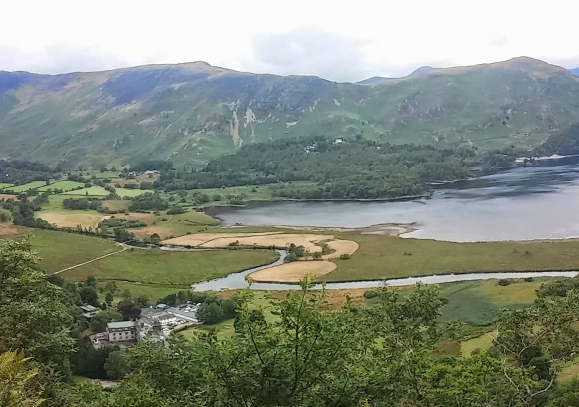
First-hand — our photos
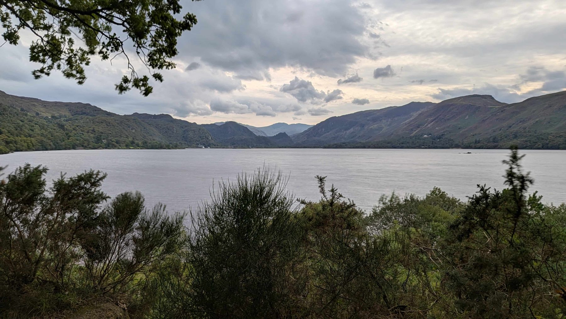
Our own photography from days out around the lakes — no stock, no filters that flatter the weather.
Go deeper
Where to take this next: the osprey woodland on the only true lake, the historic house opposite it, and the bigger guides.
The forest climb to Dodd summit (a Wainwright) above the only true lake — and the best place to watch Bassenthwaite's summer ospreys.
Dodd Wood guideThe historic family home opposite Dodd Wood — literary history, four woodland playgrounds and a lakeshore walk to St Bega's church. Paid entry.
Mirehouse guideThe 214 fells of Wainwright's guides — most of the best lake views on this page are earned from one of them.
The Wainwrights guideRydal Cave, Cathedral Cave and the quarry caverns — the underground counterpart to the lakes list.
Caves guideThe only town with two of the 16 on its doorstep — Derwentwater at the bottom of the high street, Bassenthwaite up the road.
Keswick hubWhich of the 16 swim best, where to get in, and the safety rules that actually matter.
Wild swimming guideFree, no sign-up. Tell the planner your budget, transport and what you want from the day — it builds a timed itinerary around whichever lake you choose, fitted to the weather.
Open the free Lakes PlannerCommon questions