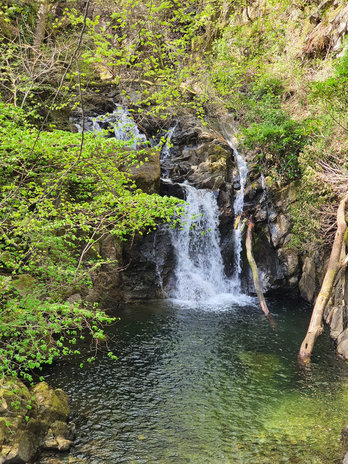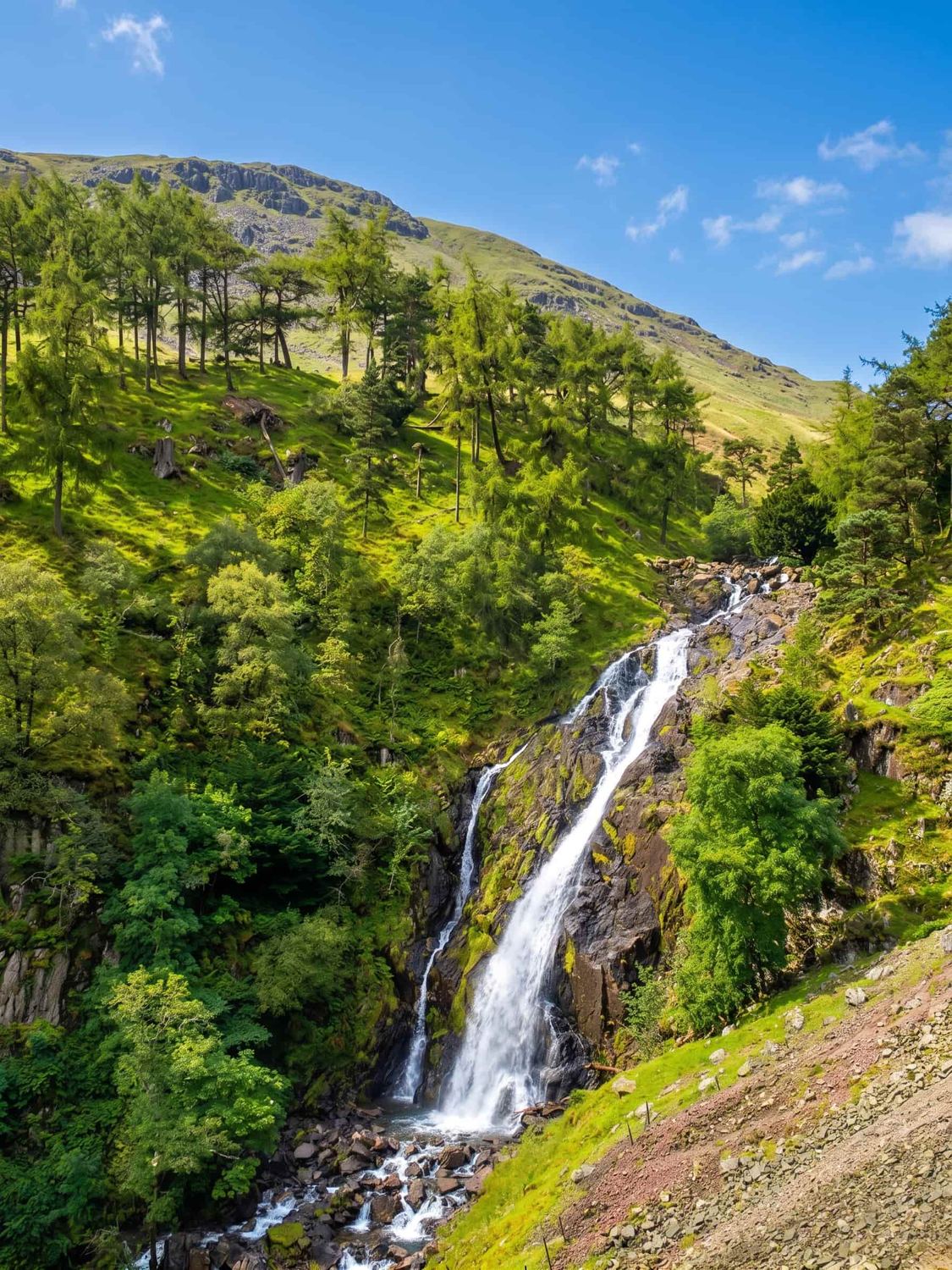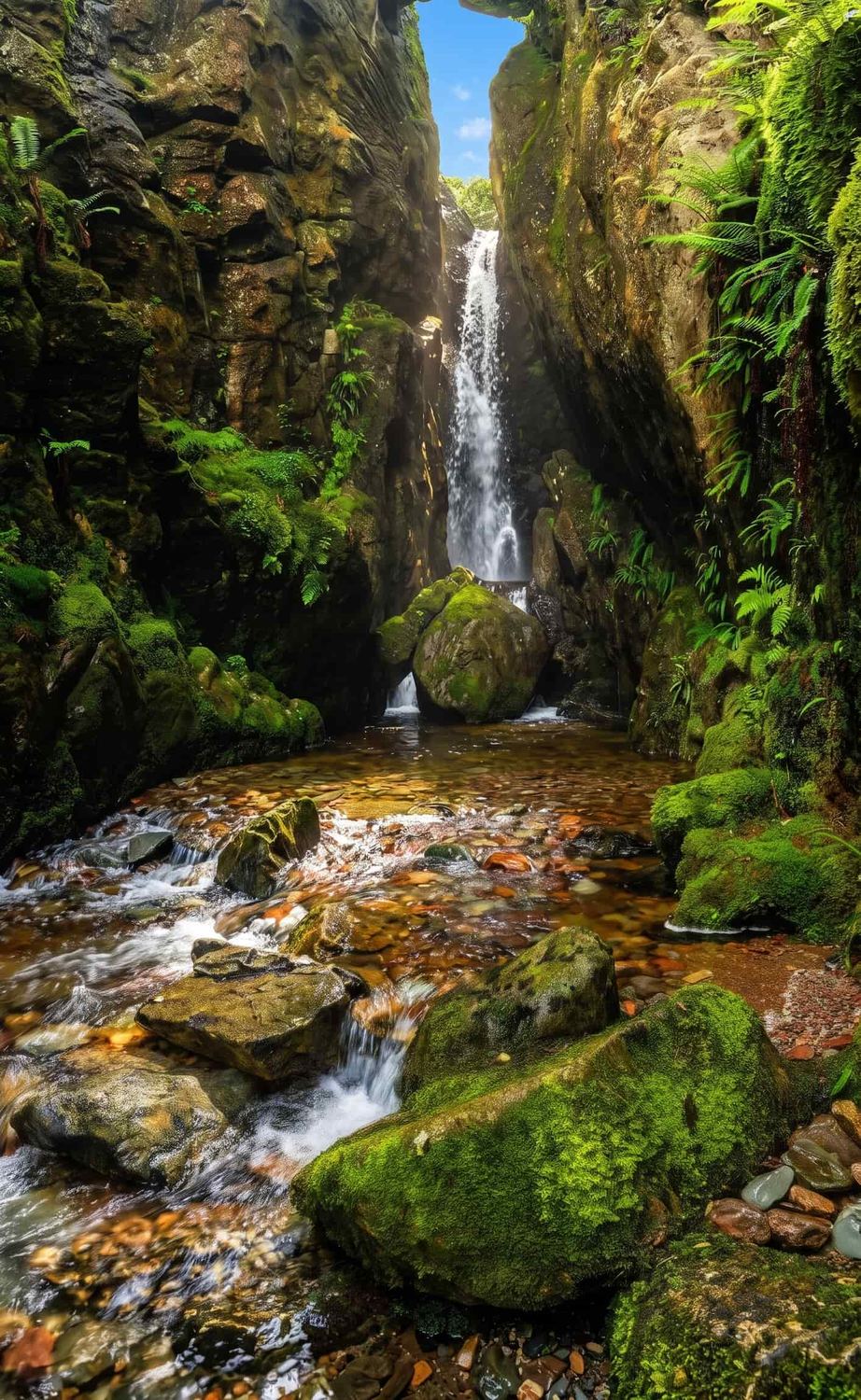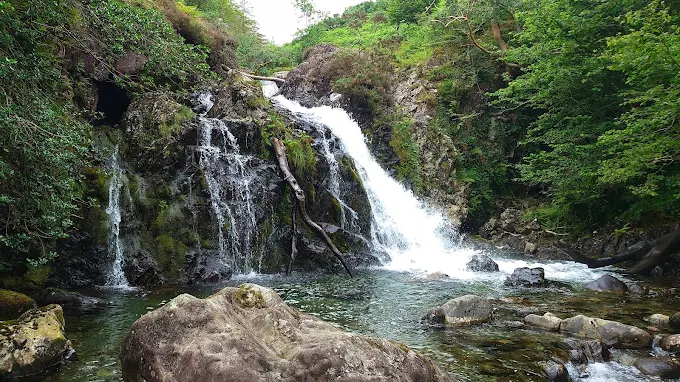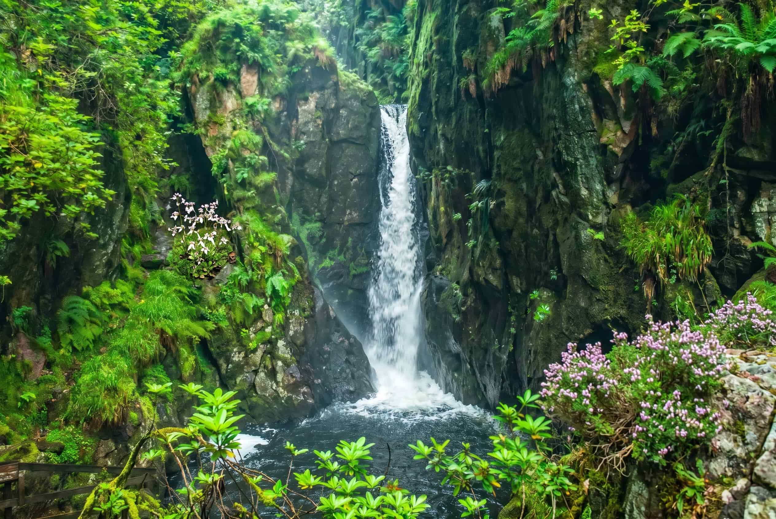
Scale Force near Buttermere — the tallest waterfall in the Lake District, plunging through a mossy ravine
💧 12 waterfalls · Interactive map · Verified figures

Waterfalls in the Lake District

The Lake District has dozens of waterfalls, but a handful are unmissable — from Aira Force above Ullswater to Scale Force near Buttermere, the tallest in the national park at around 170 ft. This is the complete guide: an interactive map, verified heights and walk distances, parking and honest access notes for every fall — and they're at their thundering best after heavy rain.

12
Waterfalls mapped, with parking
~170ft
Scale Force — the Lakes' tallest
£0
Most are free to visit
After rain
When they're at their best
Falls map Every waterfall Near Windermere Near Keswick Easy & accessible Road trip Swimming After rain FAQ

The complete guide

The best waterfalls in the Lake District

The Lake District's high fells and heavy rainfall make it one of the best places in England for waterfalls. The most famous is Aira Force — a roughly 20-metre (65 ft) National Trust fall above Ullswater — while the tallest is Scale Force near Buttermere, generally considered the highest waterfall in the national park at around 170 ft in total. Most are free to visit; a few, like Aira Force and Tarn Hows, are National Trust sites with paid car parks (free to NT members).

This guide covers twelve of the best, each with its verified height where one is officially recorded, walk distance and time, parking, difficulty and an honest access note. Use the interactive map below to find the falls nearest you, plan a waterfall road trip linking several in a day, or jump to the falls near Windermere and near Keswick. One rule above all: waterfalls are at their most spectacular after heavy rain — but that's also when the rock is most slippery and the becks rise fastest.

Lake District waterfalls map

Every waterfall on one map

Twelve of the best waterfalls in the Lake District, pinned with the nearest parking. Tap any marker for the fall and jump to its full details below. Blue pins are waterfalls.

Map data © OpenStreetMap contributors. Pin positions are approximate — always follow the on-the-ground path and signage. Prefer paper? Download the printable waterfalls map.

One by one

The 12 best Lake District waterfalls

Heights are given only where an official or authoritative figure exists; where none does, we say so rather than guess. Parking prices for National Trust sites change seasonally — check the current tariff before you set off.

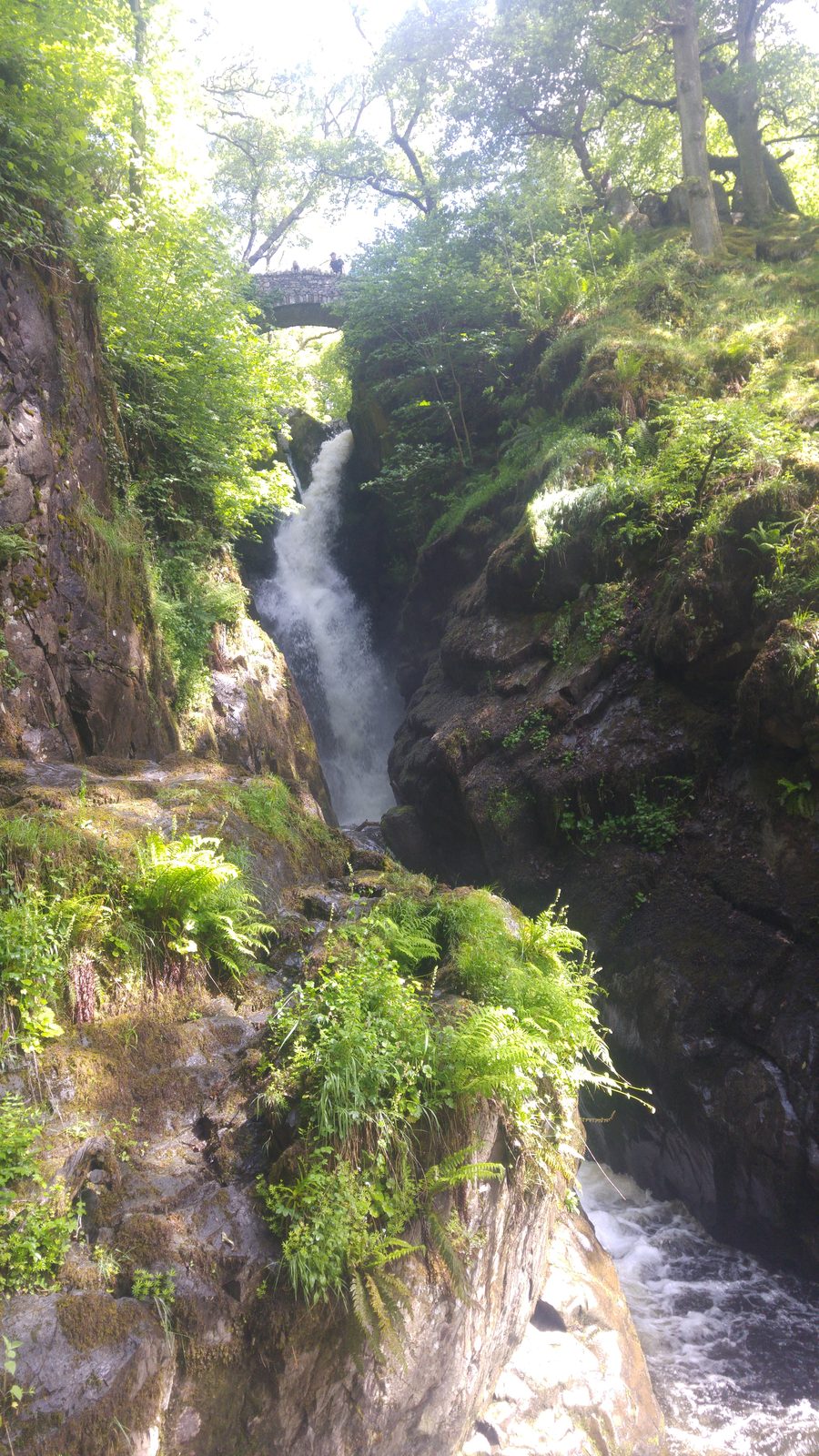
Aira Force waterfall dropping under its stone footbridge above Ullswater, Lake District

Aira Force

National Trust

📍 Ullswater, near Glenridding · 🚶 ~0.5-mile waterfall loop · 📏 ~20 m (65 ft)

The Lake District's most famous waterfall — a single ~20-metre (65 ft) drop through a wooded gorge, crossed by two Victorian stone bridges built by the National Trust. A short, well-made Waterfall Trail loops up one side and down the other in about an hour; a longer circular climbs over Gowbarrow Fell (roughly 3.5–4.5 miles). Dogs must be kept on leads at all times.

Parking
NT Aira Force P&D (from ~£7/2hr to £10 all-day); NT members free
Postcode
CA11 0JS
Access
Falls not step-free; lakeshore path to Aira Green is more accessible
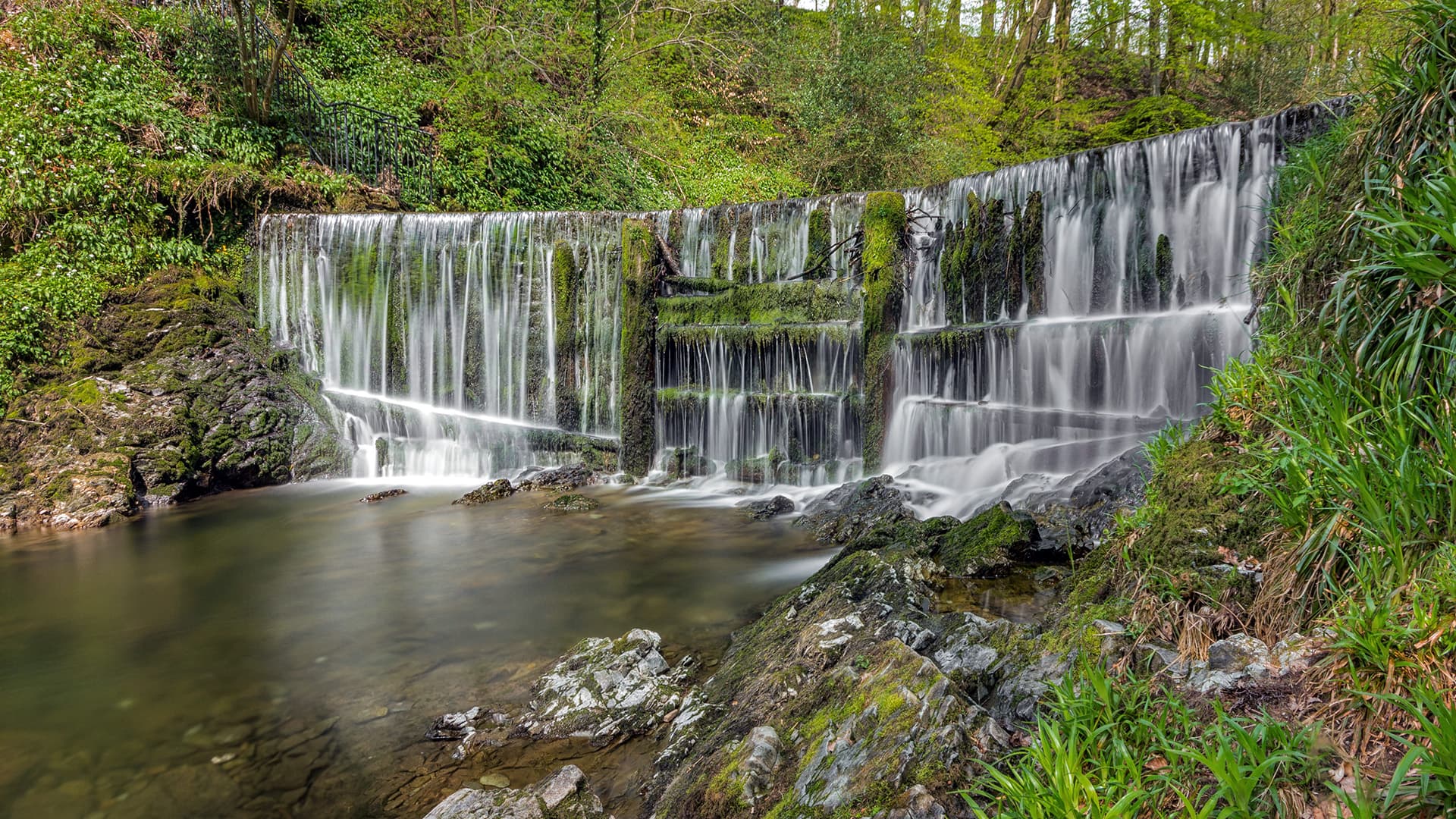
Scale Force near Buttermere, the tallest single-drop waterfall in the Lake District

Scale Force

Tallest · Rough walk

📍 Buttermere / Crummock Water · 🚶 ~2.5 miles each way · 📏 ~170 ft total

Generally considered the tallest waterfall in the Lake District — a slender single plunge of around 120 ft within a total drop of about 170 ft, hidden in a wooded cleft above Crummock Water. It's the most committing fall here: roughly 2.5 miles each way from Buttermere on a rough, often boggy path, with a scramble over slippery boulders at the end. Wear proper boots and pick a dry-ish day.

Parking
Buttermere village & NT car parks
Difficulty
Hard-ish — rough, boggy, final scramble
Round trip
~5 miles, allow 2–3 hours
Stock Ghyll Force, a tiered waterfall in woodland just behind Ambleside, Lake District

Stock Ghyll Force

Free · Easy

📍 Ambleside · 🚶 ~0.9-mile loop, ~86 m ascent · 🆓 Free

The easiest big fall to reach — a tiered cascade in a wooded gorge just a few minutes' walk from the middle of Ambleside. Sources vary on its exact height (roughly 60–70 ft over several drops), but it's a genuinely gentle circular of under a mile that starts in the town, making it perfect for a short leg-stretch. Best after rain, when it roars.

Parking
Ambleside town car parks (Rydal Rd / Central)
Difficulty
Easy — surfaced/graded path, some steps
Start grid
NY 376 045
The Lower Falls at Rydal Hall in its wooded gorge, near Ambleside, Lake District

Rydal Falls & the Grot

Free entry · Short

📍 Rydal Hall, near Ambleside · 🚶 Short walk from the Hall · 🖼️ Historic viewing house

Two falls — Upper and Lower — tumble down Rydal Beck through the grounds of Rydal Hall. The Lower Fall is framed by the Grot, a little stone viewing house built in 1668–69 and reckoned to be Britain's earliest purpose-built viewing station, designed to compose the fall like a painting. Entry to the gardens is free (donations welcomed); it's a short, gentle walk from the Hall, with a café on site. We haven't found an official height for the falls, so we don't quote one.

Entry
Free (donations); gardens open daily
Parking
Day parking at Rydal Hall — charge payable on the day at Reception
Dogs
Welcome on leads
Skelwith Force near Skelwith Bridge — a low waterfall carrying a huge volume of water, Lake District

Skelwith Force

Easy · Near-accessible

📍 Skelwith Bridge · 🚶 ~200 m from Skelwith Bridge · 📏 ~16 ft (5 m)

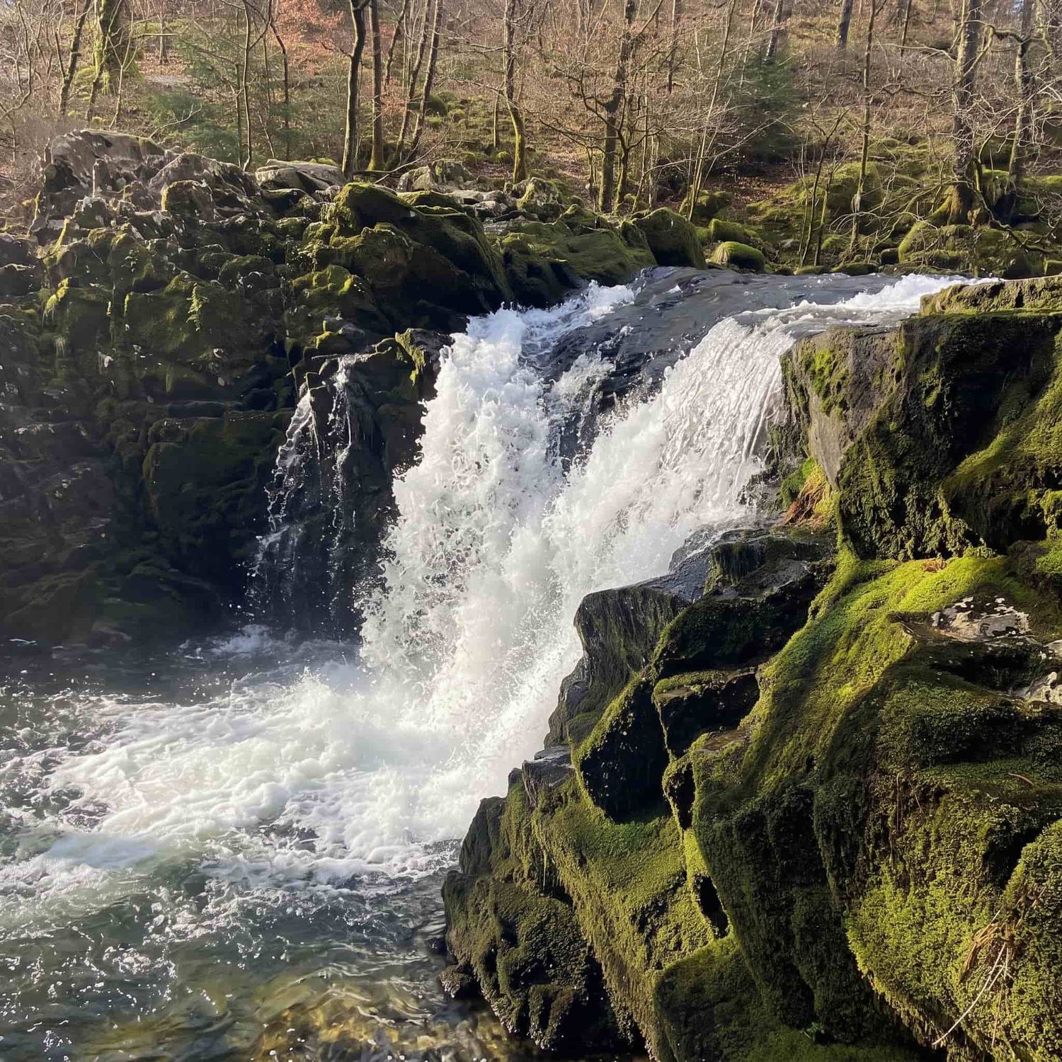
Low but ferociously powerful — only about 16 ft high, yet it carries more water than any other fall in the Lakes, so after rain it's genuinely thunderous. It sits right beside the riverside path barely 200 metres from Skelwith Bridge, or two flat kilometres from Elterwater on a firm stone track that forms part of the National Park's "Miles Without Stiles" network — one of the more accessible falls here, though the path is bumpy for wheelchairs and pushchairs.

Parking
NT Elterwater (LA22 9HP) or Silverthwaite, Skelwith Bridge
Access
Firm stone path; LDNPA Miles Without Stiles — bumpy in places
Difficulty
Easy
Colwith Force, a tiered woodland waterfall in Little Langdale, Lake District

Colwith Force

~40 ft · Slippery when wet

📍 Little Langdale · 🚶 Under ½ mile from Colwith Bridge · 📏 ~40 ft (12 m)

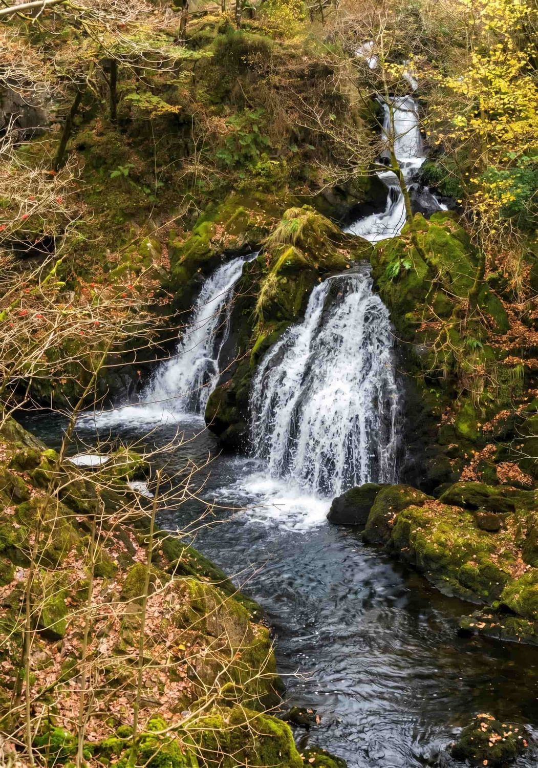
A handsome fall of about 40 ft dropping over several tiers through dense woodland on the River Brathay. It's a short there-and-back from the small lay-by at Colwith Bridge, or — better — the centrepiece of the lovely Elterwater–Skelwith–Colwith circular (around 7 km). The woodland path has steep steps and tree roots and gets genuinely slippery when wet, so take care.

Parking
Small free lay-by near Colwith Bridge (limited); or Skelwith/Elterwater
Difficulty
Moderate — steep steps, slippery woodland
Grid
NY 327 031
The waterfalls of Tom Gill below Tarn Hows, near Coniston, Lake District

Tom Gill & Tarn Hows

National Trust

📍 Near Coniston / Hawkshead · 🚶 1.6 miles / ~1 hour up to the tarn · NT

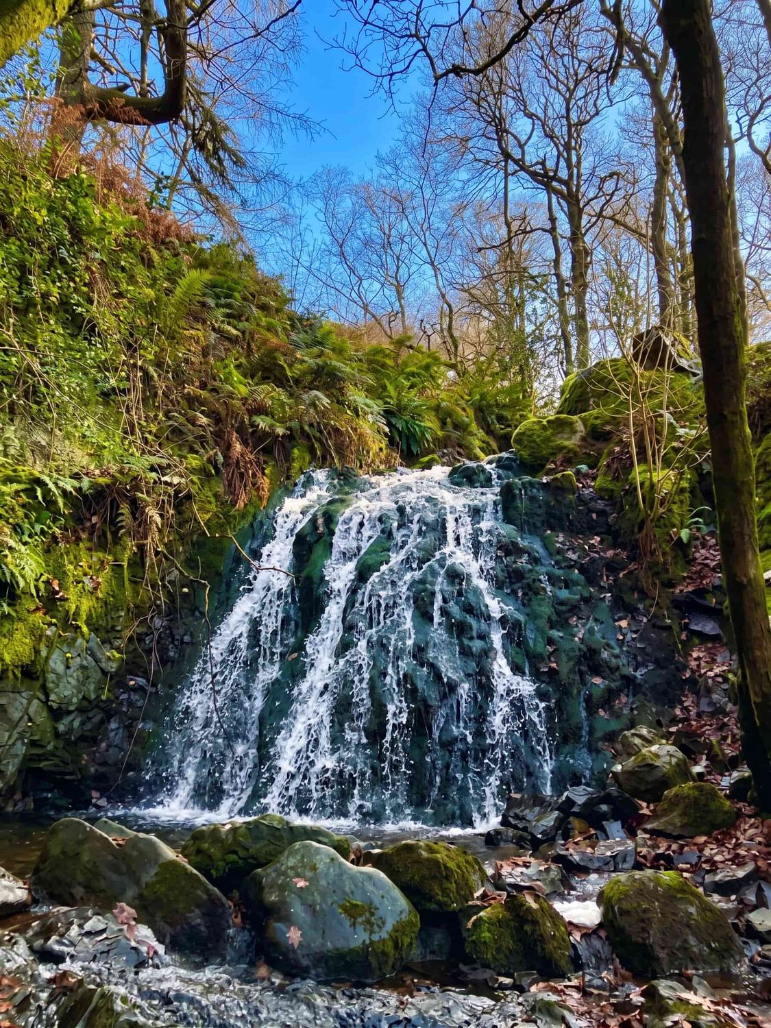
A pretty chain of falls on Tom Gill climbs from the Glen Mary car park up to the famously photogenic Tarn Hows — the National Trust's "Tom Gill to Tarn Hows" walk is about 1.6 miles (2.5 km) and takes roughly an hour. Note the split: the Tom Gill climb itself is steep, rough and not accessible, but Tarn Hows at the top has a near-level accessible circular path (about 1¾ miles) with mobility scooters available and free Blue Badge parking.

Parking
NT Tarn Hows / Glen Mary P&D; members & Blue Badge free
Access
Tom Gill steep & rough; Tarn Hows path near-level (Trampers available)
Walk
1.6 mi / 2.5 km, ~1 hr
Sour Milk Gill cascading white down the fellside from Easedale Tarn above Grasmere, Lake District

Sour Milk Gill

Cascades · Moderate

📍 Easedale, above Grasmere · 🚶 ~1 mile to the falls · 💧 Series of cascades

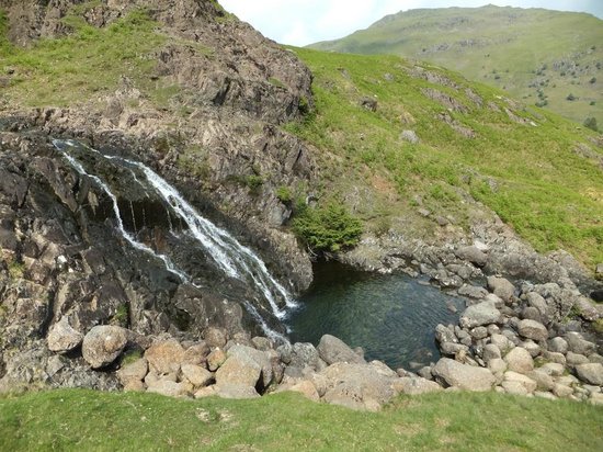
A brilliant-white ribbon of cascades pouring off the lip of Easedale Tarn above Grasmere — named for the frothy, milky look of the water. It's a series of falls rather than a single drop, so there's no meaningful "height" to quote; the classic Easedale Tarn walk (around 3.5 miles round trip) passes right beside it, reaching the falls in about a mile. Heads up: at least three Lake District waterfalls are called Sour Milk Gill — this is the Grasmere one; the others are at Seathwaite (Borrowdale) and Buttermere.

Parking
Grasmere pay-and-display (Broadgate / Stock Lane)
Difficulty
Easy–moderate; rockier and stepped higher up
Walk
Easedale Tarn loop ~3.5 miles
Taylor Gill Force, a tall waterfall above Seathwaite in Borrowdale, Lake District

Taylor Gill Force

Tall · Rough approach

📍 Seathwaite, Borrowdale · 🚶 ~1 mile each way, ~125 m ascent · 📏 ~140 ft

One of the Lake District's tallest falls — usually quoted at around 140 ft, though sources differ on whether that's a single drop or the whole cascade, so treat the figure as approximate. It hangs above Seathwaite, the wettest inhabited place in England, reached on a rough, rocky mile with a short scramble near the fall. Rugged and quieter than the honeypot falls, and superb after rain.

Parking
Seathwaite Farm (~£5/day); limited roadside
Difficulty
Moderate — rocky, boggy, short scramble
Grid (approx)
NY 231 108
Lodore Falls in Borrowdale near Derwentwater, full after heavy rain, Lake District

Lodore Falls

After rain only

📍 Borrowdale, near Keswick · 🚶 A few minutes' walk · 📏 Over 100 ft (30 m)

A 100-foot-plus fall crashing through woodland behind the Lodore Falls Hotel near the head of Derwentwater — reached in just a few minutes via the hotel grounds (a small honesty-box donation is usual). The catch, immortalised in Southey's poem: in dry spells it slows to a trickle. Come after heavy rain and it's one of the most powerful falls in the Lakes.

Access
Via Lodore Falls Hotel grounds; small honesty-box donation
Parking
No dedicated car park; roadside / nearby NT Kettlewell
Best time
After heavy rain (trickle when dry)
Dungeon Ghyll Force hidden in its ravine in Great Langdale, Lake District

Dungeon Ghyll Force

National Trust · Rough

📍 Great Langdale · 🚶 Short but rough ravine scramble · 📏 ~40 ft

A hidden ~40-foot fall wedged in a dark ravine off the Stickle Ghyll path, above the New Dungeon Ghyll in Great Langdale. Getting a proper view means a short but rough, ungraded scramble into the gill — impressive and atmospheric, but not a made path, so it's for sure-footed walkers only. Wordsworth wrote about this "chasm" two centuries ago.

Parking
NT Stickle Ghyll / New & Old Dungeon Ghyll P&D; members & Blue Badge free
Difficulty
Rough — ravine scramble, not a graded path
Grid
NY 287 068
Ritson's Force, a small waterfall a short walk from the Wasdale Head Inn, Lake District

Ritson's Force

Free · Short

📍 Wasdale Head · 🚶 ~600 m / 15–20 min from the inn · 🆓 Free

A modest but lovely fall a short walk from the Wasdale Head Inn, in the shadow of England's highest fells. It's named after Will Ritson, the local landlord once billed as "the world's biggest liar." An easy 15–20 minute stroll on a grassy track and a short rougher descent — a perfect leg-stretch before or after a big Wasdale day. Free parking nearby.

Parking
Free car park ~0.2 mile down the valley
Difficulty
Easy — grassy track, short rough descent
Grid
NY 185 092

Some photographs are still being shot — where you see a placeholder, our own images are on the way. Run a walker-friendly business near one of these falls? Get in touch.

By area

Waterfalls near Windermere & Ambleside

Basing yourself around Windermere, Bowness or Ambleside puts a cluster of the best falls within a short drive. Closest of all is Stock Ghyll Force, a few minutes from the middle of Ambleside.

By area

Waterfalls near Keswick

Keswick and Borrowdale are the base for the northern falls — including the after-rain drama of Lodore, right at the head of Derwentwater.

Easy & accessible

The easiest waterfalls to reach

Not every fall needs a hike. These are the shortest, gentlest visits — and we've been careful to flag where "accessible" genuinely means step-free, and where it doesn't.

Skelwith Force — the most accessible

A firm stone path barely 200 m from Skelwith Bridge, part of the National Park's Miles Without Stiles network. It's the closest thing to a step-free fall here, though the surface is bumpy in places for wheelchairs and pushchairs.

Tarn Hows — level path, mobility scooters

The tarn itself has a near-level circular path (~1¾ miles) with National Trust Tramper mobility scooters and free Blue Badge parking. Honest caveat: the Tom Gill waterfalls below it are reached by a steep, rough climb that is not accessible.

Rydal Falls & the Grot — short and free

A short, gentle walk through Rydal Hall's gardens to a historic viewing house, with free entry and a café. We can't confirm it as fully step-free, so if that matters, ring Rydal Hall before you go.

Stock Ghyll Force — a few minutes from Ambleside

A graded woodland path (with some steps) on a loop of under a mile, straight from the town centre — the easiest of the "big" falls to fit into a short visit.

Looking for more gentle, low-level and step-free routes? See our easy & accessible walks guide and the wider Lake District walks hub.

A day out

The Lake District waterfall road trip

Want to link several falls in a day? Because the Lakes cluster geographically, two natural driving loops let you tick off four or five falls without much time in the car. Use the map above to plan your own.

Southern loop — Ambleside & the Langdales

A relaxed half-to-full day of short walks, all within a few miles of each other.

  1. Stock Ghyll Force — start in Ambleside
  2. Rydal Falls & the Grot — 2 miles up the road
  3. Skelwith Force — towards Elterwater
  4. Colwith Force — Little Langdale
  5. Tom Gill & Tarn Hows — finish at the tarn

Northern loop — Keswick, Borrowdale & Ullswater

Best saved for a wet spell, when the northern falls are in full spate.

  1. Lodore Falls — head of Derwentwater
  2. Taylor Gill Force — up the valley at Seathwaite
  3. Aira Force — over to Ullswater (~40 min)

Driving times are short but the roads are narrow and busy in summer — start early, and never park on the verges.

Swimming & plunge pools

Can you swim at the waterfalls?

Some falls — Scale Force, Sour Milk Gill and the pools below Aira Force among them — have plunge pools that tempt swimmers on a hot day. A few honest words before you do.

It's cold, all year

Fell-fed water stays cold even in summer. Cold-water shock is real — enter slowly, never jump straight in, and get out before you start shivering.

Never jump or dive

Plunge pools hide submerged rocks and change depth with the weather. Don't jump from the falls, and keep well clear of the base of a fall in spate — the force of the water and undertow are dangerous.

Not after heavy rain

The falls are most beautiful in spate, but that's exactly when the water is fastest and most powerful. Save any swimming for settled, low-water conditions.

Never alone

Go with others, know your exit, and don't rely on a phone signal. If you're new to it, start on a calm lake shore, not a waterfall pool.

Read our full Lake District wild swimming guide

Timing

When to visit: after heavy rain

Waterfalls are fed by the fells, so they're at their thunderous best during and just after heavy rain — the same weather most people try to avoid. Lodore Falls in particular is a trickle in dry spells and a torrent after a wet night; Skelwith and Taylor Gill are transformed. The day after a big downpour, in autumn or winter especially, is prime waterfall time.

But the trade-off is real. The rock beside a fall in spate is slippery and often greasy, wooden steps and tree roots become treacherous, and mountain becks can rise fast and suddenly — a stream you crossed easily on the way up can be impassable on the way back. Keep well back from wet edges and the tops of falls, don't attempt beck crossings in spate, and turn back if a path has become a watercourse. Check the mountain forecast before you set out.

Lake District Weatherline — the official fell forecast

Printable Lake District waterfalls map

A one-page map of all twelve waterfalls with the nearest parking — print it for the glovebox, or save it to your phone for when the signal drops.

Download the waterfalls map (PDF)

Questions

Lake District waterfalls — FAQ

What is the biggest waterfall in the Lake District?
Scale Force, near Buttermere, is generally considered the tallest waterfall in the Lake District — a single plunge of around 120 ft within a total drop of about 170 ft. It's a rough 2.5-mile walk each way from Buttermere. Aira Force (~20 m / 65 ft) is the most famous and much easier to reach.
Are the Lake District waterfalls free to visit?
Most are free — Stock Ghyll Force, Scale Force, Skelwith Force, Colwith Force, Sour Milk Gill, Taylor Gill Force and Ritson's Force cost nothing to see. A few sit on paid land: Aira Force and Tarn Hows (Tom Gill) are National Trust car parks (free to NT members), Lodore Falls asks a small honesty-box donation through the hotel grounds, and Rydal Hall has a day-parking charge though entry is free.
When is the best time to see the waterfalls?
After heavy rain, and in autumn and winter when rainfall is highest. Lodore Falls in particular slows to a trickle in dry weather and roars after a wet night. The trade-off is slippery rock and fast-rising becks — take care, and check the forecast.
Which waterfall is easiest to reach with a pushchair or wheelchair?
Skelwith Force is the most accessible — a firm stone path a couple of hundred metres from Skelwith Bridge, on the National Park's Miles Without Stiles network (bumpy in places). Tarn Hows has a near-level circular path with mobility scooters, but the Tom Gill waterfalls below it involve a steep, rough climb that isn't accessible. Aira Force's falls are not step-free, though its lakeshore path to Aira Green is more manageable.
Can you swim at the Lake District waterfalls?
Some falls have plunge pools people swim in, but the water is cold all year, plunge pools hide submerged rocks, and you should never jump or dive or swim close to a fall in spate. If you do swim, go in settled low-water conditions, with others. See our wild swimming guide for honest, safety-first advice.
Are dogs allowed at the waterfalls?
Most are on open public paths where dogs are welcome, but there's livestock on many of these fellside routes, so keep dogs on a lead unless you know it's safe. National Trust sites like Aira Force ask that dogs are kept on leads at all times, and Rydal Hall welcomes dogs on leads.
Is there a map of the Lake District waterfalls?
Yes — our interactive falls map pins all twelve waterfalls with the nearest parking, and you can download a printable version for offline use.

Lake District tips in your inbox

What the Fell is our free newsletter — hidden corners, access updates, weather and the best days to catch the falls in full spate.

Subscribe to What the Fell, free