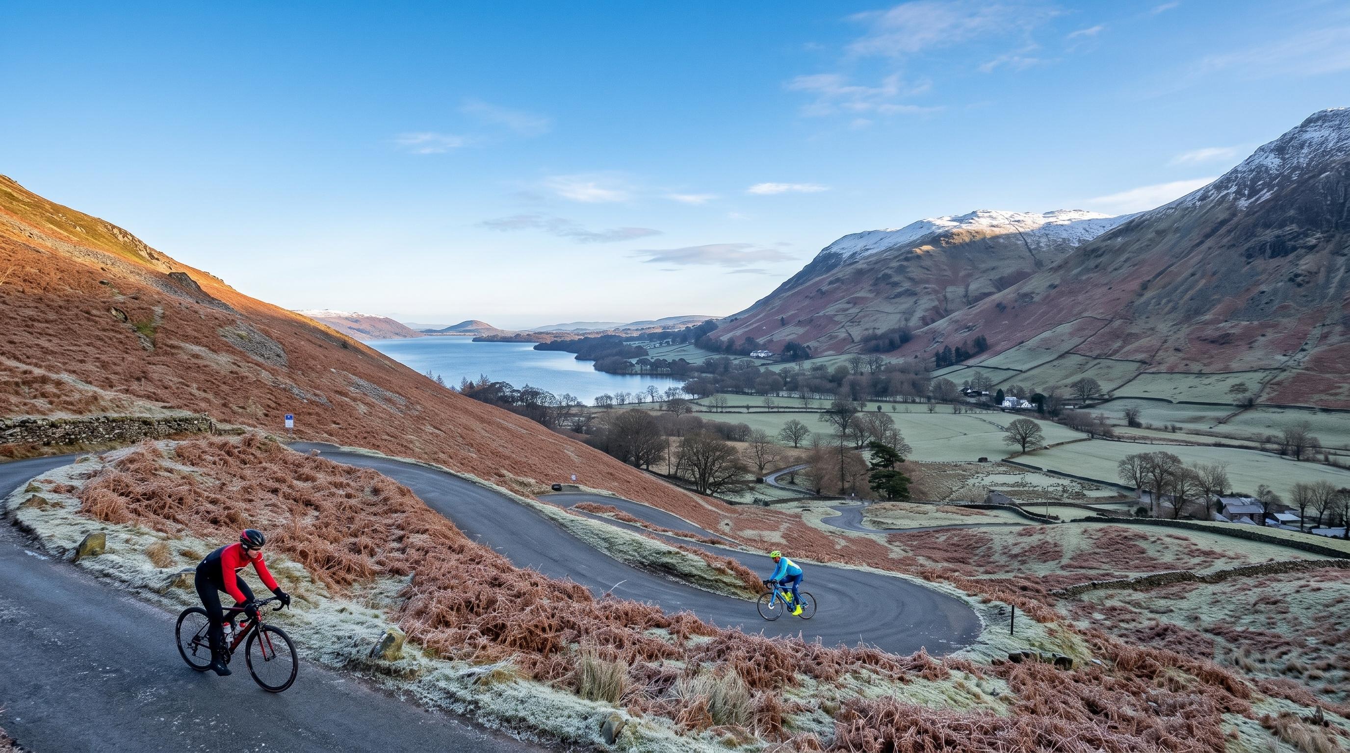
🚴 The route and the climbs — entry, dates and results are the organisers', not ours.
~112–114 miles Nine passes Hardknott 1 in 3
Lake District · Nine passes · ~112–114 miles
The Fred Whitton route
Every climb on Britain's hardest sportive route, with honest gradients, the real elevation figures, where to watch — and how to ride the whole thing yourself on any ordinary day.
Written and walked by Peter·A Cumbrian family guide, written in Penrith
The Fred Whitton Challenge is a charity sportive that strings together the hardest road passes in the Lake District into a single circuit of roughly 112 to 114 miles. It is widely regarded as the toughest one-day road route in England, and the reputation is earned — not because any single climb is unusually long, but because there are nine of them and the two steepest are saved for the end.
This page is about the route: the climbs, the gradients, the elevation, how hard it honestly is, where to stand if you want to watch, and how to ride the circuit yourself on any ordinary day of the year. The roads are public and open all year — you do not need an event to ride them.
Entry, dates, ballot and results belong to the organisers, and they are the only reliable source for them: fredwhittonchallenge.co.uk. You will not find any of that here, deliberately — this page is written to stay accurate year after year.
The route has varied between editions. What follows is the classic circuit — the one almost everyone means by "the Fred Whitton route", and the one you can ride yourself. Any particular year's course is the organisers' to publish.
Pass by pass
Every climb on the route
In the order you meet them, riding the classic circuit anti-clockwise from Grasmere.
1
Kirkstone Pass
454 m summitLong, not savage
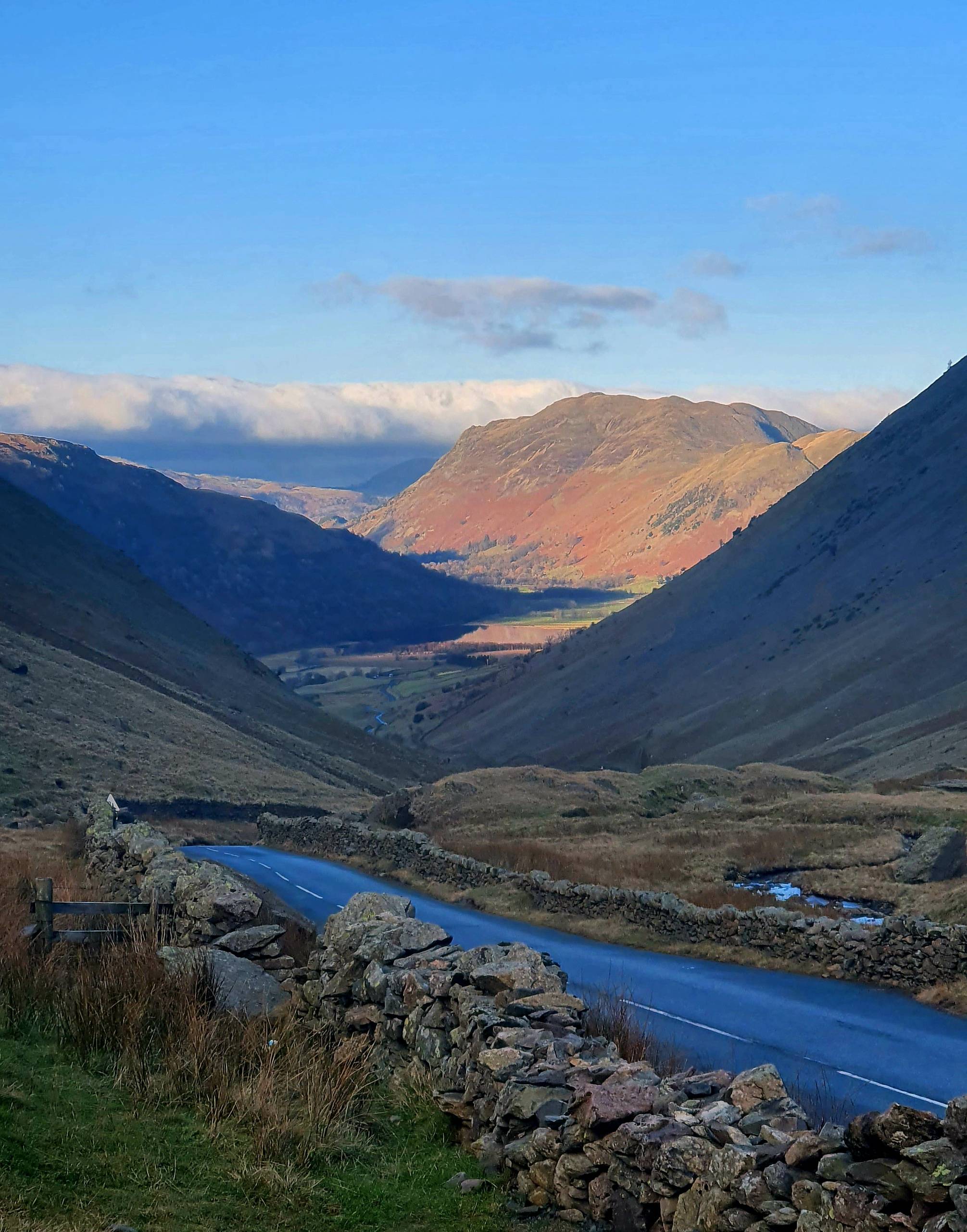
Over the top — the A592 dropping towards Brothers Water and Patterdale, the reward for the long climb up. A photo by The Lakes Planner.
The first climb of the day and the highest pass on the route, taken from Ambleside on the long, steady side rather than the brutal wall known as The Struggle. It is a proper haul — a sustained grind rather than anything vicious — and it comes with fresh legs, which is the only reason it feels reasonable. Over the top the road drops fast to Ullswater and Glenridding, one of the best descents of the day. Full detail on the pass, The Struggle and the inn at the top on our Kirkstone Pass guide.
2
Honister Pass
356 m summit 1 in 4Steep
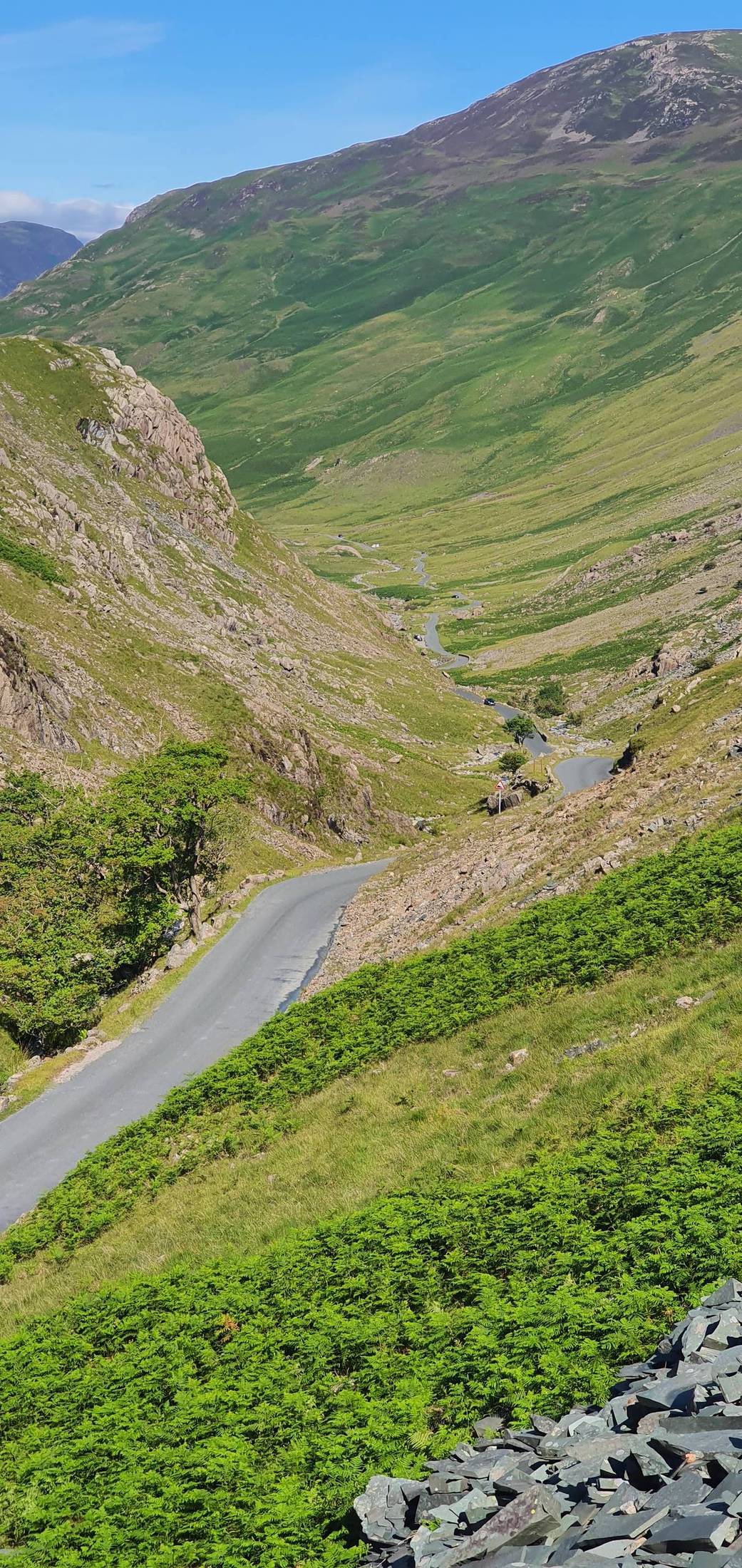
The Buttermere side of Honister — what goes up from Seatoller comes down this. A photo by The Lakes Planner.
Climbed from Borrowdale, Honister is the first genuinely steep thing on the route — a 1 in 4 ramp out of Seatoller that gets hard immediately and stays hard. It is frequently, and wrongly, described as the steepest road in England. It is not: that is Hardknott, later on this same route, at 1 in 3. Honister is still quite steep enough at the wrong end of a long day. Full detail on the pass, the slate mine and the parking on our Honister Pass guide, with Borrowdale below it.
3
Newlands Pass
333 m summitSteep, and it comes straight after Honister
The cruelty of the route's first half is the gap between Honister and Newlands: you descend to Buttermere, get almost no recovery, and start climbing again. Newlands Hause is shorter than Honister but steep in its own right, with a stiff pull to the top and a fast, open descent towards Braithwaite and Keswick. Two hard climbs back to back, this early, do a lot of quiet damage to the legs you will want at mile 100.
4
Whinlatter Pass
318 m summitThe friendly one
Taken out of Braithwaite, Whinlatter is the most civilised climb on the route — a graded main road with a steady gradient, the kind of climb you can settle into and ride at your own pace. England's only true mountain forest sits on top of it, with the visitor centre, trails and cafés described on our Whinlatter Forest guide. Enjoy it. The route does not offer another climb this reasonable.
5
Cold Fell
Exposed moorlandThe forgotten one
cold-fell-road.jpgPhoto needed — the moorland road from Ennerdale Bridge
The climb nobody talks about and plenty of riders remember badly. Taken out of Ennerdale Bridge on the route's long southward run down the quiet western edge of the Lakes, Cold Fell is not steep by the standards of what is coming, but it is bleak, exposed and comes at the point where the day starts to feel long. In a westerly it can be the hardest hour of the ride. There is very little shelter and very little on the road out here — see Wasdale for the character of this corner of the district.
6
Hardknott Pass
393 m summit 1 in 3 (~33%)The crux
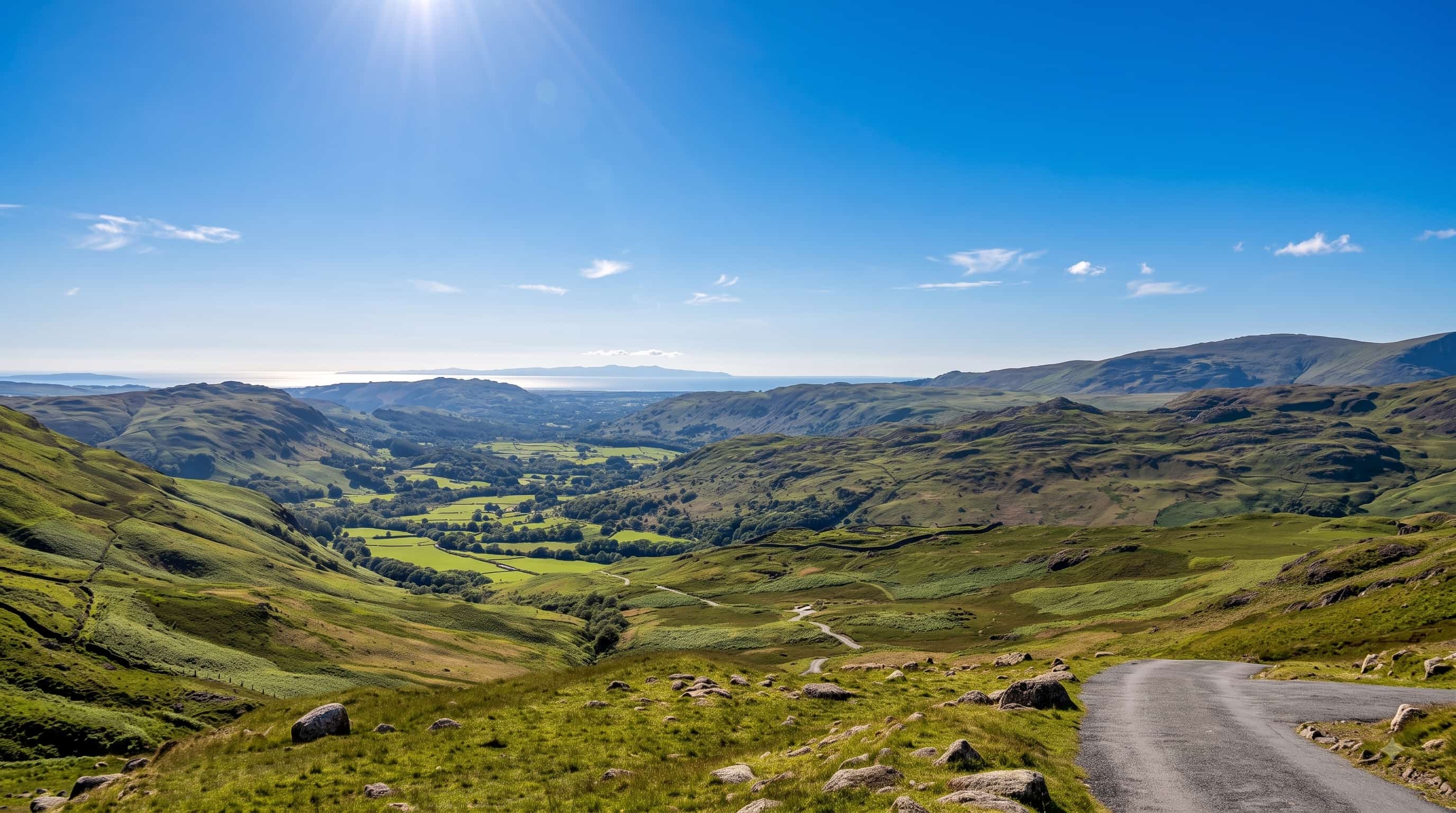
Looking back down Eskdale from the top of the pass — the valley the climb hauls you out of, with the sea beyond.
This is the one. Approached through Eskdale after roughly 100 miles of riding, Hardknott rears up out of the valley in a series of hairpins at a gradient of 1 in 3 — about 33 per cent. That makes it the steepest road in England, a distinction it shares with Rosedale Chimney Bank in Yorkshire.
It is worth being precise about this, because the wider web routinely is not: Hardknott is the 1 in 3, not Honister. Honister, back at climb two, is 1 in 4. They are not the same order of difficulty, and confusing them makes the route sound easier than it is.
On tired legs, on a road barely wider than a car, with the surface breaking up on the steepest bends, a great many capable riders get off and walk. There is genuinely no shame in it — walking Hardknott is close to a rite of passage. The descent into the Duddon valley on the far side is every bit as steep and demands more of your brakes and your nerve than your legs. Full detail on the road, the gradient and the Roman fort beside it on our Hardknott Pass guide.
7
Wrynose Pass
393 m summit Up to 1 in 4Immediately after Hardknott
Wrynose would be a hard climb anywhere. Here it is merely the thing that happens immediately after Hardknott, which is why riders remember it as cruel rather than notable. It reaches the same height as Hardknott — 393 m — with gradients up to 1 in 4, and the Three Shire Stone at the top marks where the old counties of Cumberland, Westmorland and Lancashire met. By this point the climbing is nearly done; what remains is the concentration to descend safely. Full detail on the road and the stone on our Wrynose Pass guide.
8
Blea Tarn & the run down Langdale
Short but unwelcomeThe sting in the tail
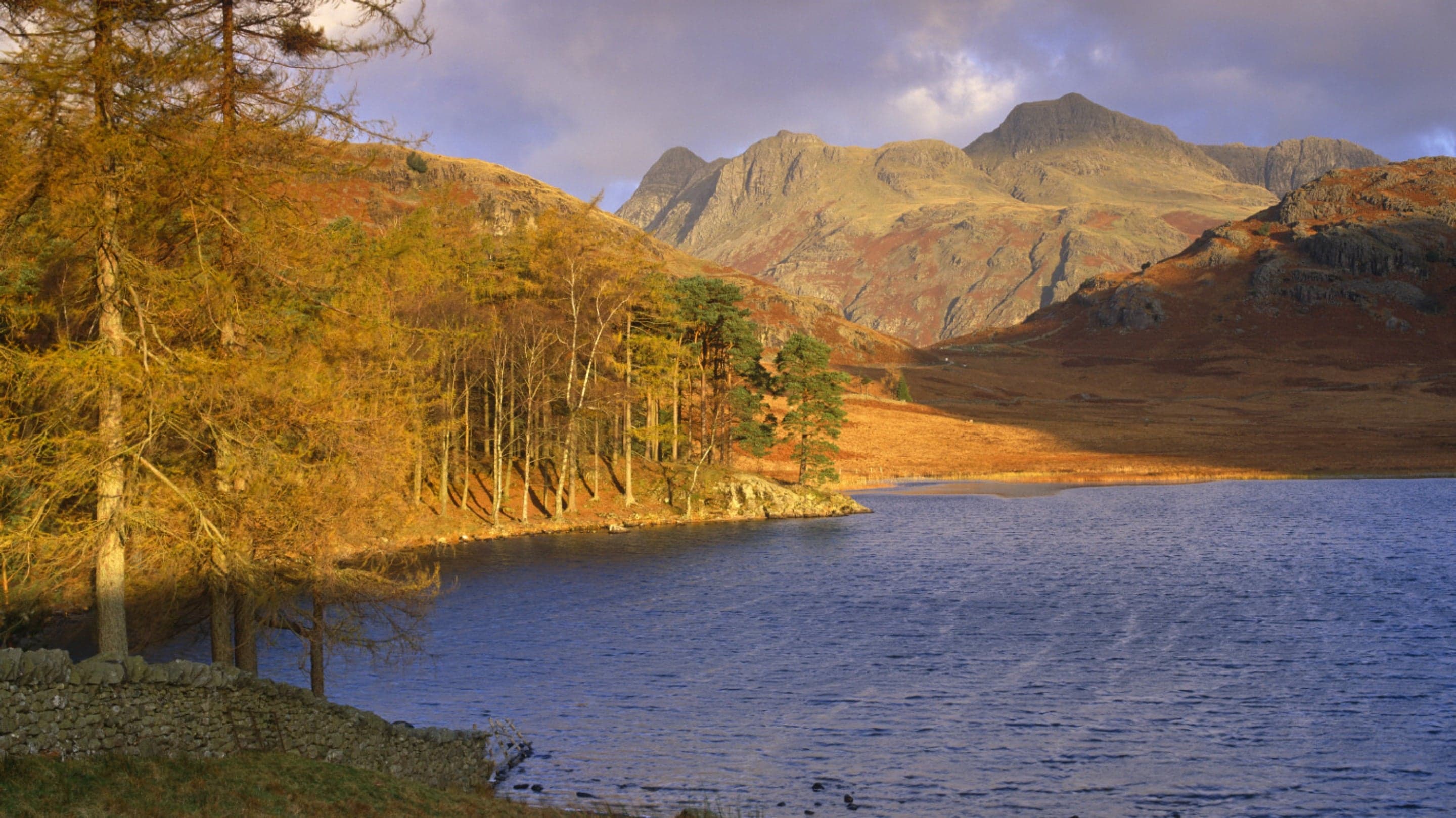
The last rise of the day, over to Blea Tarn from Little Langdale, is short and would be trivial on fresh legs. It is not on these ones, and riders regularly describe it as the moment the route finally breaks them. After it, the road drops through Great Langdale and runs back to Grasmere and the finish — one of the loveliest closing stretches in British cycling, if you are still in a state to notice.
The numbers
Elevation and distance, honestly
Elevation gain is commonly given as around 3,900–4,000 m; the organisers' own FAQ has cited 3,500 m — figures vary with measurement method and the year's route. That spread is not evasion, it is how elevation works: barometric and GPS devices disagree, mapping platforms smooth differently, and small route changes move the total. Anyone quoting a single exact figure to the metre is quoting one device on one day.
Distance is about 112–114 miles (roughly 180–183 km), depending on the year's route and where you start counting.
What matters more than either number is the shape of the route. Nearly 4,000 m of climbing spread evenly over 114 miles would be a hard but manageable day. Concentrated into nine passes, with the two steepest at 100 miles in, it is a different proposition entirely.
For planning: treat it as roughly 4,000 m of ascent and assume the last 20 miles will take far longer than the first 20. Both assumptions are on the safe side.
No sensationalism, no false comfort
How hard is it, really?
It is hard, and it is harder than the numbers suggest. Three things make it so.
The order
Hardknott and Wrynose, the two steepest climbs in the district, come at roughly 100 miles. Nothing about that is accidental, and nothing prepares you for it except having done it.
The gradients
1 in 3 is beyond what many riders can turn over on a road bike at all, let alone at mile 100. Walking is common, unremarkable, and not a failure.
The exposure
The passes are high, open and weather-beaten, and the western moorland stretch has almost no shelter. Cold, wet descents after hard climbing are how days here go wrong.
Equally, it is not superhuman. It is ridden by large numbers of ordinary club cyclists every year, and by plenty of people riding it privately on a quiet Tuesday. What it demands is respect, a sensible bottom gear and an honest assessment of your own fitness — not exceptional talent.
The section nobody else writes
Where to watch
If you want to see the route at its most dramatic, the choice is obvious — but so are the problems that come with it.
Hardknott — the spectacle
The hairpins are where the route bites and where the human drama is: riders at their limit, some walking, some just about turning the pedals. It is also single-track, remote, and has essentially nowhere to park. Walk in from the Eskdale side and be prepared for a long approach on foot.
Wrynose — the aftermath
Immediately after Hardknott, so you see riders in an even rawer state. The Three Shire Stone at the top is a natural gathering point. Same caveats: narrow, exposed, no real parking.
Honister — the accessible one
Far easier to reach, with the slate mine at the top and a proper car park. You get a genuinely steep climb and a good vantage without the logistical misery of Hardknott. See the Honister Pass guide.
Kirkstone — the civilised one
Early in the route, so riders are still fresh and grouped together, which makes for a better spectacle than you might expect. There is parking at the top and it is the easiest of the four to reach by car.
These are narrow, open public roads.
Whether or not an event is on, the passes carry normal traffic and serve people who live and work here. Do not stand in the carriageway, do not park on the passes themselves, and do not obstruct riders, drivers or farm access. A blind 1 in 3 hairpin is the worst possible place to be surprised by a spectator.
Any day of the year
Riding the route yourself
Every road on the circuit is a public highway. You do not need an entry, a number or a date — you can ride the whole thing tomorrow, or take it in pieces over a long weekend.
Splitting it up
The natural break is Keswick, roughly a third in and before the western leg. A two-day version — Grasmere to Keswick over Kirkstone and Honister, then the west and the passes on day two — turns a brutal day into two very good ones. Riding Hardknott and Wrynose on fresh legs is a completely different experience, and a fairer test of whether you can actually climb them.
Gearing
Take a lower bottom gear than you think you need. Riders who manage Hardknott without walking are almost always the ones who fitted a bigger sprocket beforehand, not the ones who were stronger on the day. A compact chainset with a wide-range cassette is the sensible minimum; there is no prize for suffering on a 39×25.
When to go
Avoid summer weekends and school holidays. The passes are single-track in places and carry heavy tourist traffic in season — Hardknott and Wrynose in particular become genuinely unpleasant when queues of cars are reversing on the hairpins. Early or late in the season, midweek, and early in the day are all far better. Bear in mind that these passes are also the first roads to become impassable in winter weather.
Food and water
On the event there are feed stations. Riding it privately there are not, and the route has some serious gaps. Keswick and the villages of the northern lakes are well served, and Whinlatter has facilities at the top of the climb. The western leg is the problem: the long southward run through the quiet edge of the district, over Cold Fell, has very little indeed, and the Eskdale and Duddon valleys before Hardknott are remote. Carry enough to get from the north-west of the district all the way to the passes without relying on finding anything open, and fill bottles whenever you get the chance.
Pins mark the start and finish and each climb on the classic circuit, in order. This is a marker map, not a plotted route line — the course has varied between editions, and we would rather show you exactly where the climbs are than draw a line we cannot verify.
The classic route takes in Kirkstone, Honister, Newlands, Whinlatter, Cold Fell, Hardknott and Wrynose, with the rise past Blea Tarn before the run back down Langdale. Hardknott is the hardest: 1 in 3, about 33%, with roughly 100 miles already in the legs. Honister, often confused with it, is 1 in 4.
How much climbing is there in the Fred Whitton Challenge?
It is commonly given as around 3,900–4,000 m of ascent, though the organisers' own FAQ has cited 3,500 m. Figures vary with the measurement method and with the year's route, so treat any single number as approximate. Whichever you use, it is a very large amount of climbing for one day in Britain.
How hard is the Fred Whitton Challenge?
Genuinely hard, and harder than the distance suggests. The difficulty is not one climb but the order they come in: Hardknott and Wrynose, the two steepest, are saved until roughly 100 miles in. Many strong riders walk part of Hardknott, and there is no shame in it. Add exposed passes, changeable weather and long stretches without shelter and it is a serious day out rather than a long ride.
Where does Fred Whitton start and finish?
The classic route starts and finishes in Grasmere. The event has varied between editions, so check the organisers for the arrangements of any particular year — this page describes the classic circuit rather than one year's course.
How long does Fred Whitton take?
There is no honest single answer. Strong riders complete it in well under a working day; many riders take most of one. Treat any published time as a rough guide rather than a target, and plan around daylight, food, and the fact that the two hardest climbs come near the end — the last 20 miles routinely take far longer than anyone expects.
Where is the best place to watch the Fred Whitton Challenge?
Hardknott Pass is the great spectacle — it is where the route bites hardest and where the human drama is. Wrynose, immediately after, is a close second. Honister and Kirkstone are far easier to reach and to park near. Wherever you go, remember these are narrow, open public roads: do not block the carriageway, do not park on the passes themselves, and leave room for riders, residents and traffic.
Are roads closed for Fred Whitton?
No. Like almost all British sportives, it runs on open public roads and riders share them with normal traffic. That matters on the single-track passes, where a descending car and a climbing rider can meet on a blind hairpin. Ride and drive accordingly — and expect traffic on these roads whether an event is on or not.
What is the route of the Fred Whitton Challenge?
From Grasmere the classic circuit heads to Ambleside and over Kirkstone Pass, descends to Ullswater and runs to Keswick, then crosses Honister Pass to Buttermere, climbs Newlands Pass, and takes Whinlatter Pass out of Braithwaite. It then runs south through the western Lakes over Cold Fell from Ennerdale Bridge before turning east through Eskdale for Hardknott and Wrynose, finishing past Blea Tarn and down Langdale to Grasmere. See every climb above.