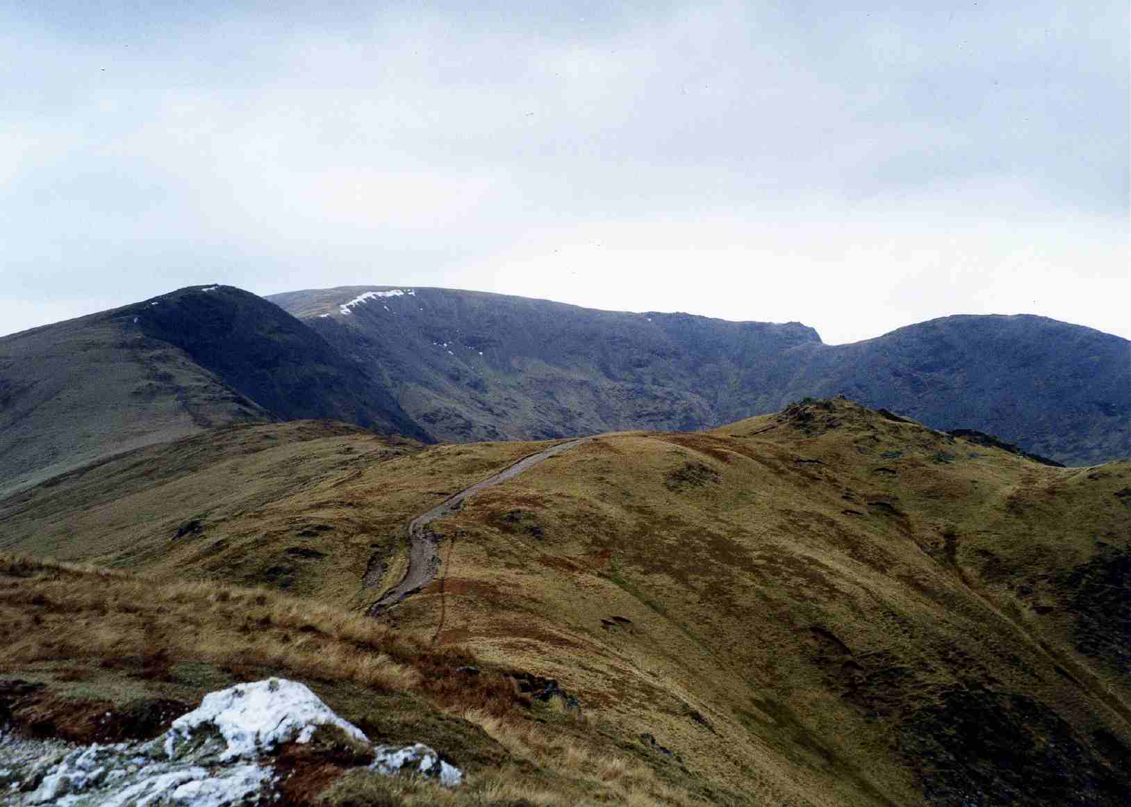
Fairfield Horseshoe in the Lake District
Eastern Fells · A classic ridge round · 8 Wainwrights

Fairfield Horseshoe

The finest ridge round you can walk straight out of Ambleside — a horseshoe of eight Wainwrights around the Rydal Beck valley, topping out on Fairfield at 873 m. Grassy and gentle underfoot, but a long, high, serious mountain day.

~10–11 mi

The full round

~1,000 m

Total ascent

8

Wainwrights

5–7 hrs

Walking time

The classic Ambleside round

Eight Wainwrights in one great loop

The Fairfield Horseshoe is the finest ridge round you can walk straight out of Ambleside — a long, curving horseshoe of eight Wainwright summits around the deep bowl of the Rydal Beck valley, rising to Fairfield itself at 873 m at the head of the round.

It is beloved for a simple reason: it gives you a proper high mountain day — eight tops, big airy ridges, views across half of Lakeland — on ground that is mostly grassy and kind underfoot, with no scrambling anywhere on the standard round. It is one of the best first big horseshoes a walker can take on.

But do not mistake “no scrambling” for “easy”. This is 10–11 miles and around 1,000 m of climbing, high and exposed for hours, and Fairfield's broad summit plateau is one of the more confusing places to navigate in the Lakes when the cloud comes down. Pick your weather.

Before you set off

Which way round?

The Fairfield Horseshoe is a circuit, so it works in either direction — and walkers argue happily about which is better.

Anticlockwise (the traditional way, usually started from Rydal) climbs Nab Scar first — a steep, direct pull straight onto the ridge — then works round over Heron Pike and Great Rigg to Fairfield, returning over Hart Crag, Dove Crag and the Pikes.

Clockwise (natural from Ambleside) climbs gentle Low Pike and High Pike first, saving the steep Nab Scar for a knee-testing descent at the very end. If you would rather climb the steep ground than come down it, go clockwise; if you would rather get the hard pull done early on fresh legs, go anticlockwise.

There is no wrong answer. Below we describe it anticlockwise from Rydal, the most commonly walked direction.

The round, step by step

The route

1. Rydal to Nab Scar. From Rydal, a steep zig-zagging path climbs directly to the little top of Nab Scar (450 m) — the hardest sustained climb of the day, over quickly, with the Rydal valley opening below you.

2. Along the western ridge. The gradient eases into a long, gorgeous ridge walk over Heron Pike (612 m) and Great Rigg (766 m), climbing steadily with the whole round curving ahead of you.

3. Fairfield summit (873 m). A final pull lands you on Fairfield's broad, stony plateau — the high point, and the one place on the round where navigation genuinely matters: in mist the flat top offers few landmarks and it is easy to walk off on the wrong bearing. Find the correct line off toward Hart Crag before the cloud disorients you.

4. The eastern ridge home. The return runs over Hart Crag (822 m) and Dove Crag (792 m), then down the long eastern arm over High Pike (656 m) and Low Pike (508 m) — with its famous stretch of drystone wall right along the crest — back to Ambleside or Rydal.

The eight tops

The 8 Wainwrights on the round

Walked as a single day, the standard Fairfield Horseshoe bags eight of Wainwright's Eastern Fells. Note that the High Pike here is High Pike (Scandale) above Ambleside — not the other High Pike near Caldbeck in the Northern Fells.

See where these sit among all 214 in our complete Wainwrights list & map.

Printable Fairfield Horseshoe route card

A one-page summary of the round — the eight tops in order, distance, ascent, timings, parking and the summit-navigation warning. Print it for the car, or save it to your phone for when the signal drops on the ridge.

Download the route card (PDF)

Logistics

Parking & starts

Ambleside is the easier start. It has proper pay-and-display car parks (check current charges), and it puts the town's cafes and pubs at the end of your day. It adds a little road walking at each end, but it matches the classic “Fairfield Horseshoe from Ambleside” round and is the sensible choice if you are not sure of parking.

Rydal (St Mary's Church / Pelter Bridge) sits closer to the foot of Nab Scar and shortens the walking slightly, but parking there is very limited and fills early — do not rely on it on a fine weekend.

Because it is a circuit, you finish where you started either way, so there is no need to arrange transport between two points.

Take this seriously

Weather & navigation on the top

The Fairfield Horseshoe is long and high, and you are committed to the ridge for hours with little quick escape once you are round past Great Rigg. The weather on the tops is a different world from Ambleside, and it can change fast.

The one place that genuinely catches people out is Fairfield's summit plateau: a broad, stony, featureless top where, in cloud, walkers regularly set off on the wrong bearing and end up descending the wrong valley. Know your route off the top, carry a map and compass you can use, and do not rely on the boot-worn paths — several lead astray.

Check a mountain forecast, not a town one, before you commit — the Lake District Weatherline fell-top assessment covers the Eastern Fells.

Answered

Common questions

How hard is the Fairfield Horseshoe?

It is a long day rather than a technically hard one. The walking is mostly on grassy ridge with good paths and no scrambling, so a reasonably fit walker can complete it — but it is roughly 10–11 miles with about 1,000 m of ascent, high and exposed for most of its length, and it takes 5–7 hours. The real difficulty is the distance, the weather, and navigation: Fairfield's summit is a broad, stony plateau that is genuinely confusing in mist. Treat it as a full mountain day and pick your weather.

Which Wainwrights are on the Fairfield Horseshoe?

Eight, on the standard round: Nab Scar, Heron Pike, Great Rigg, Fairfield itself (873 m, the high point), Hart Crag, Dove Crag, High Pike and Low Pike. Note that the High Pike here is High Pike (Scandale) above Ambleside — not the other High Pike near Caldbeck in the Northern Fells.

How long does the Fairfield Horseshoe take?

Allow 5–7 hours of walking for the full round, plus stops. Strong walkers on a clear, dry day get round in around 5 hours; most people take longer, and you should build in extra time if the cloud is down and you need to navigate carefully across Fairfield's summit.

Where is the best place to start the Fairfield Horseshoe?

Ambleside is the easier start — proper car parks, and it puts cafes and pubs at the end of your day; it adds a little road walking but matches the classic Ambleside round. Rydal (St Mary's Church / Pelter Bridge) is closer to the ridge but has very limited parking. Either way it is a circuit, so you return to where you started.

What is the hardest horseshoe in the Lake District?

That is a matter of opinion, but the Fairfield Horseshoe is generally considered one of the more achievable of the classic rounds — long, but easy underfoot. The rounds usually named as the toughest are longer, rougher and more remote, such as the Mosedale Horseshoe above Wasdale and the Coledale Round. We would rather not rank them by a made-up number; the honest point is that Fairfield is a great first big horseshoe.

Keep exploring

More guides & nearby