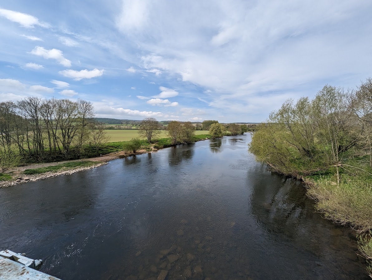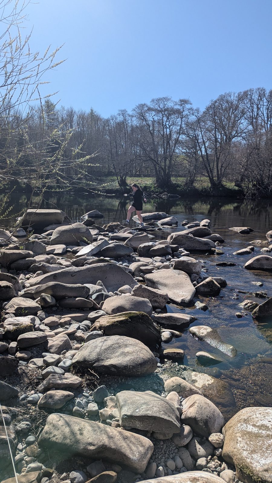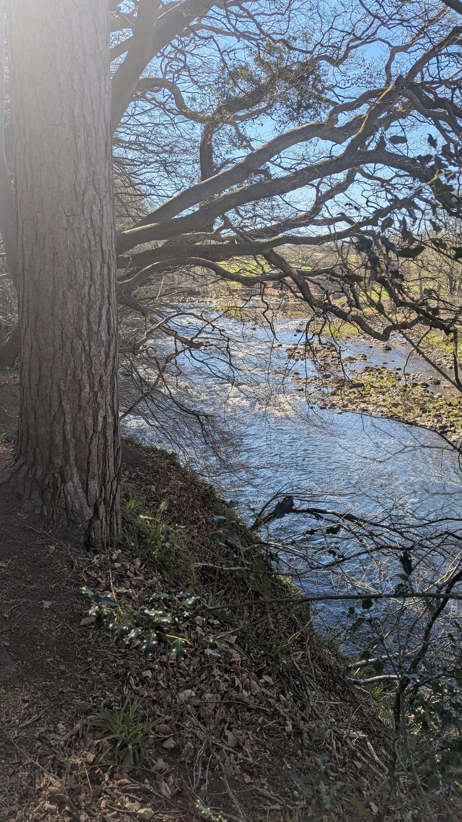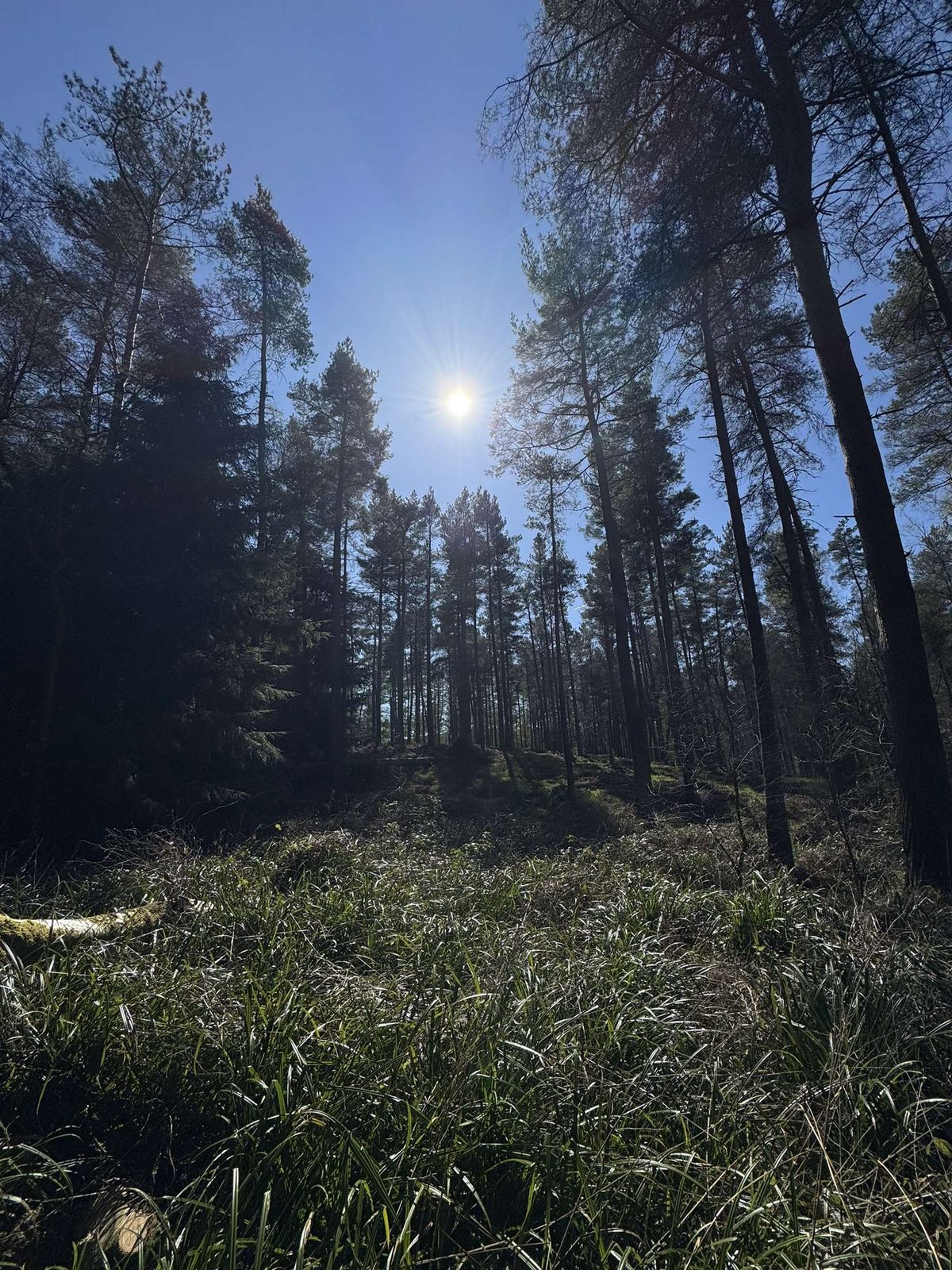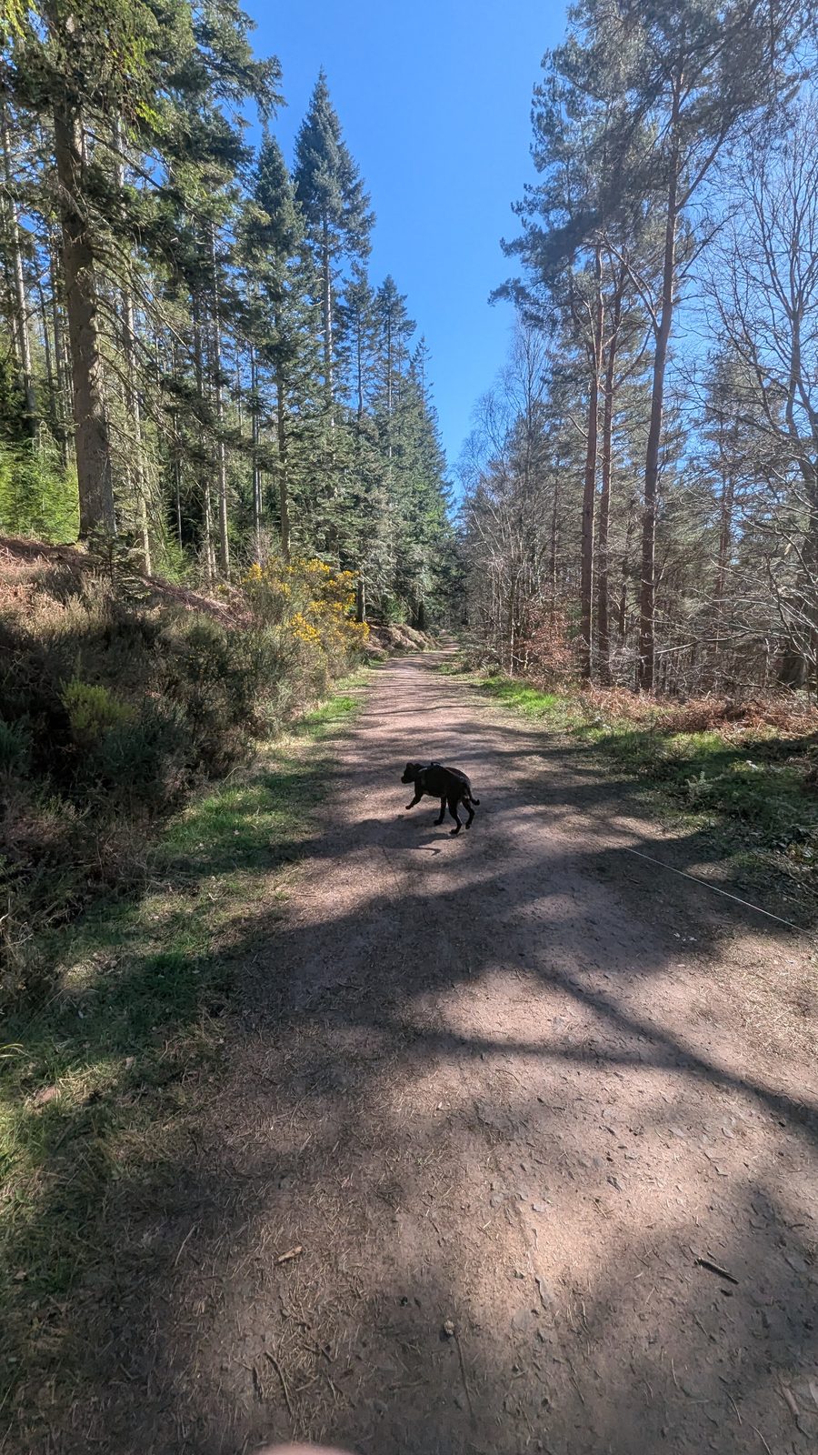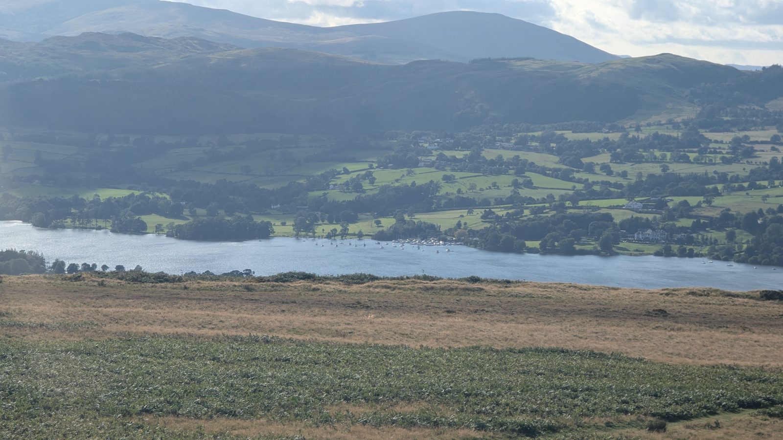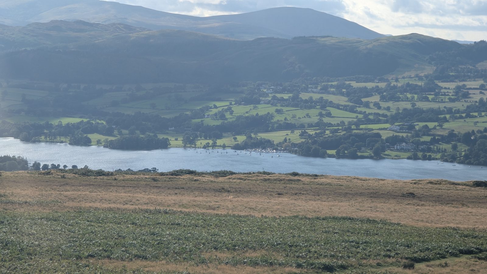
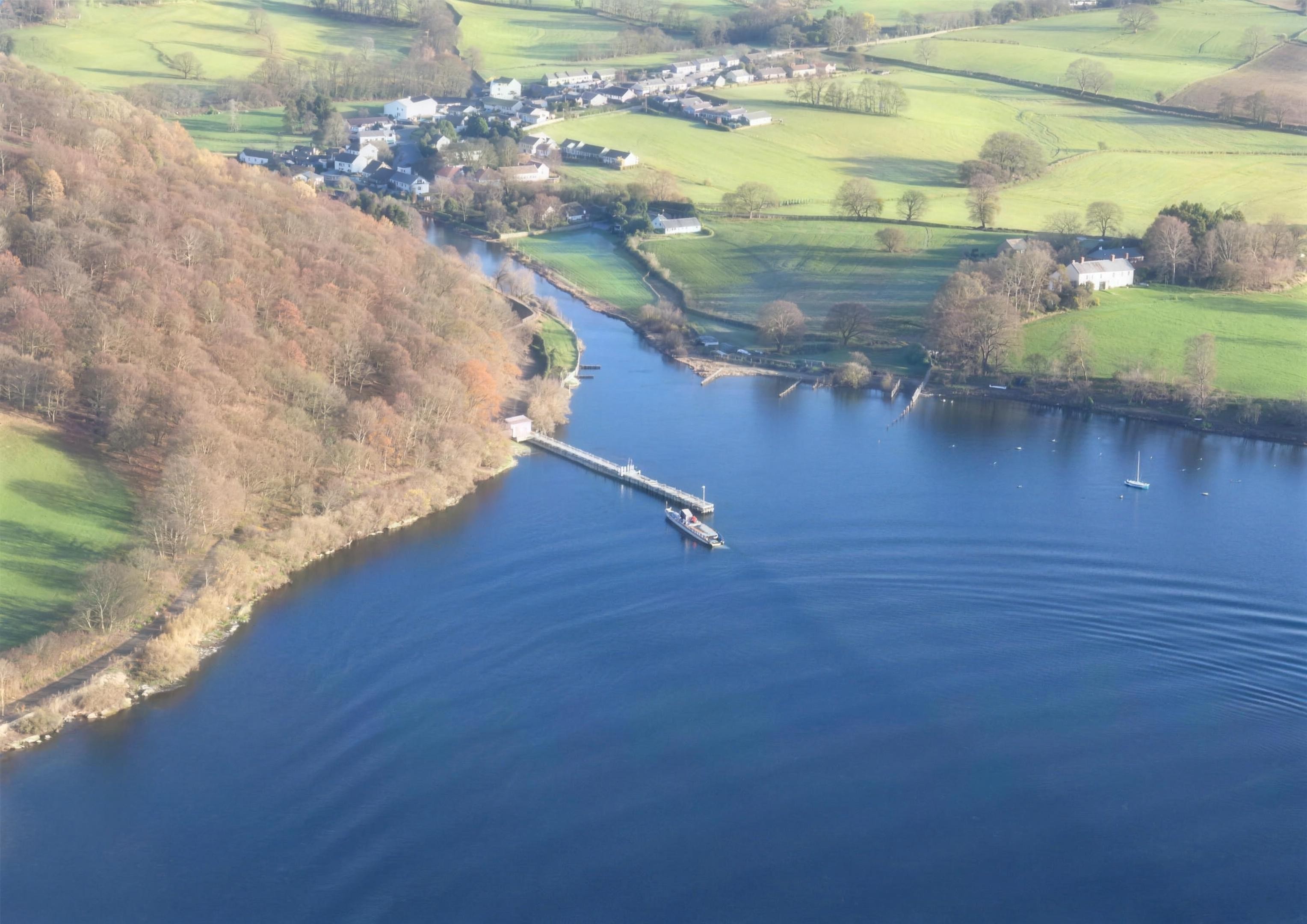
The River Eamont and Eden Valley near Penrith with the Lakeland fells beyond, Lake District
Eden Valley gateway · riverside & heritage walks

Penrith Walks

The gateway to the Eden Valley — riverside paths, ancient stone circles and red-sandstone caves rather than high fells, with Ullswater just down the road. Many of these walks let you leave the car: start from the station, finish at a village pub, catch the bus back.

A hand-picked guide

The best walks around Penrith

Penrith is the gateway to the Eden Valley — a market town of riverside paths, ancient stone circles and red-sandstone caves rather than high fells, with Ullswater just down the road. Many of these walks let you leave the car behind: start from the train station, finish at a village pub, and catch the bus back. This is a hand-picked guide to genuine local walks, with distance, transport, pubs and dog-friendly info for each. Lead off with the signed Eamont Way to Pooley Bridge, climb Penrith Beacon straight from town, then head out to Lacy's Caves and Long Meg, Coombs Wood at Armathwaite and Askham Fell above Ullswater. For the castles, henges and Long Meg as attractions, see the Penrith hub.

Showing all 7 walks.

Easy

Easy walks around Penrith

The Ladies Walk along the River Eden at Edenhall near Penrith, Eden Valley, Lake District

Ladies Walk, Edenhall

Historic riverside · a local secret

Easy

Distance

~2 mi

Time

~1 hr

Ascent

Low

Terrain

Riverbank paths

A gentle, atmospheric riverside walk of about two miles along the River Eden at Edenhall, long favoured by the Musgrave family — the same family tied to the "Luck of Edenhall" legend, a medieval glass beaker whose safekeeping was said to protect the family's fortunes. Mature trees, quiet riverbank and Eden Valley calm; it's the kind of walk nobody covers properly, which is exactly its charm. Easy and dog-friendly, and a lovely short outing when you want river and history without a climb.

The churchyard of St Andrew's, Penrith, ringed by mature trees
St Andrew's churchyard in Penrith — the town end of a gentle day that pairs well with the Ladies Walk.
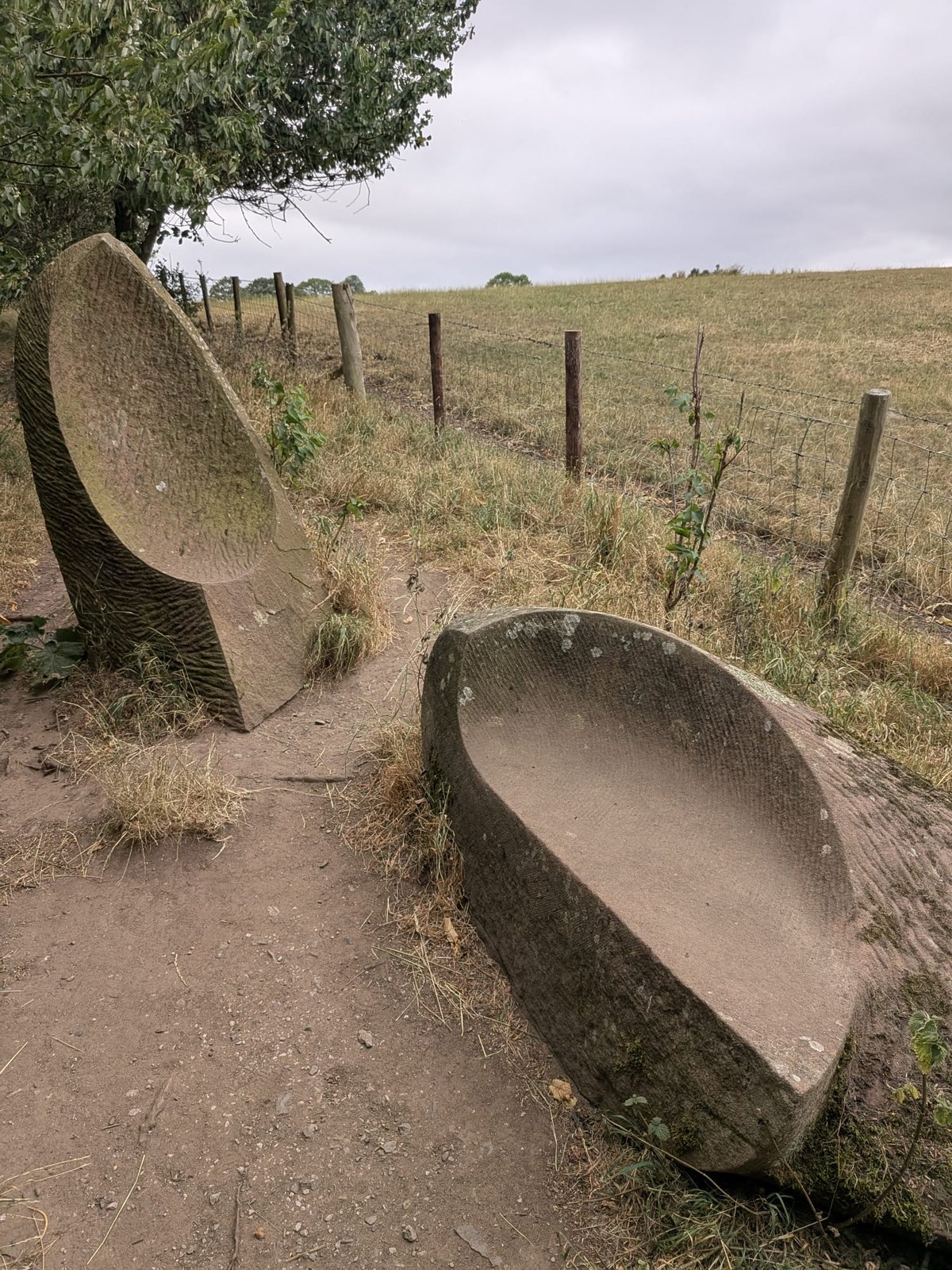
Carved stone seats by sculptor Vivien Mousdell on the Ladies Walk at Edenhall
Carved stone seats by sculptor Vivien Mousdell, about halfway round
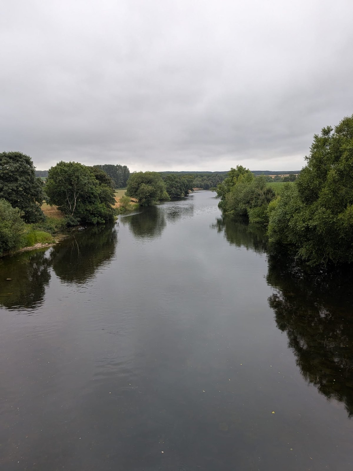
The River Eden, which the Ladies Walk follows
The River Eden, which the walk follows
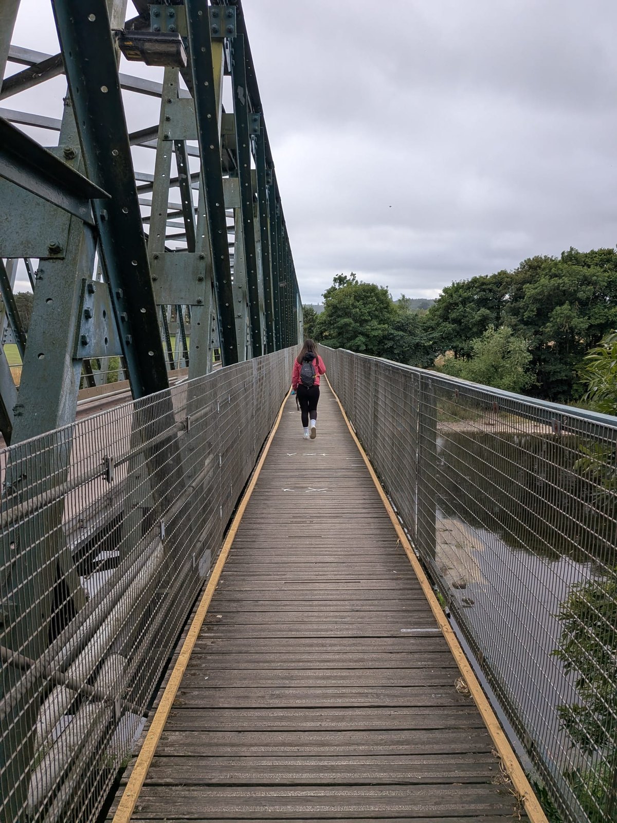
The footbridge across the River Eden towards Langwathby
The footbridge across the Eden towards Langwathby

Start: Edenhall village — the gate about 50 yards west of the Edenhall Hotel

Parking: no car park — considerate roadside parking on the quiet lane; the Edenhall Hotel for refreshments

Find it: Search "Edenhall, Penrith" in Google Maps

Nearest pub / refuel

The Shepherds Inn, Langwathby — the nearest pub, in the neighbouring village just across the River Eden.

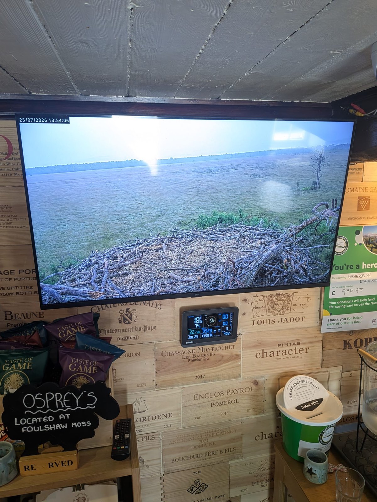
It even streams a live osprey-nest webcam inside the pub (the nest is over at Foulshaw Moss). To watch ospreys in the Lake District yourself, head for the Dodd Wood osprey viewpoint above Bassenthwaite.

The live osprey-nest webcam streaming inside the Shepherds Inn at Langwathby
The osprey feed streaming inside the Shepherds Inn
Dog-friendly Riverside (River Eden) Musgrave history Not a fell
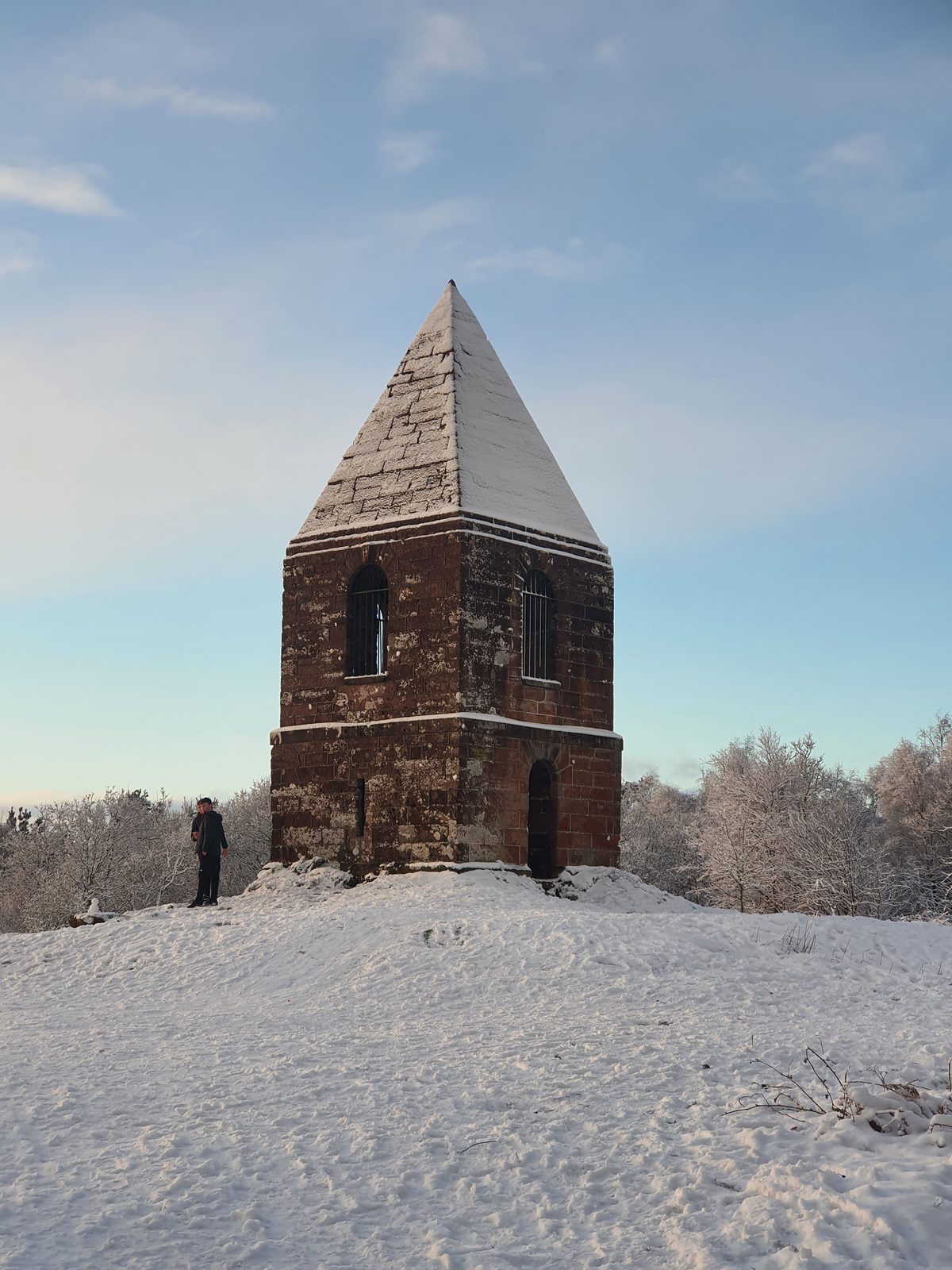
The Beacon Pike monument on Beacon Hill above Penrith, Eden Valley, Lake District

Penrith Beacon / Beacon Edge

The town's own hill · straight from the centre

Easy

Distance

2–3 mi circular

Time

~1.5 hrs

Ascent

Wooded climb

Terrain

Woodland & field paths

Penrith's own hill — a wooded climb from the town up to the Beacon Pike monument (built 1719) on Beacon Hill, with sweeping views over the Eden Valley and across to the Lakeland fells. It's a 2–3 mile circular straight from the town centre with no car needed, easy-to-moderate in effort and a brilliant evening or half-day leg-stretch. The beacon itself is a survivor of the old warning-fire network. Dog-friendly throughout. For Penrith Castle and the town's other heritage sites, see the Penrith hub. There's also a second, quieter way onto the Beacon: the Salkeld Road evening circular below joins the Beacon woods from the cemetery side.

Penrith Beacon and Beacon Edge Penrith Beacon and Beacon Edge Penrith Beacon and Beacon Edge Penrith Beacon and Beacon Edge Penrith Beacon and Beacon Edge Penrith Beacon and Beacon Edge Penrith Beacon and Beacon Edge Penrith Beacon and Beacon Edge Penrith Beacon and Beacon Edge

Around Penrith Beacon and Beacon Edge

Start: Penrith town centre — climb via Beacon Edge to the Beacon Pike monument

Parking: Penrith town-centre car parks (walk in — no car needed)

Find it: Search "Penrith Beacon" in Google Maps

Nearest pub / refuel

Penrith town-centre pubs & cafés — plenty of choice right at the finish in the market town.

Dog-friendly Eden Valley & fell views Circular 1719 beacon
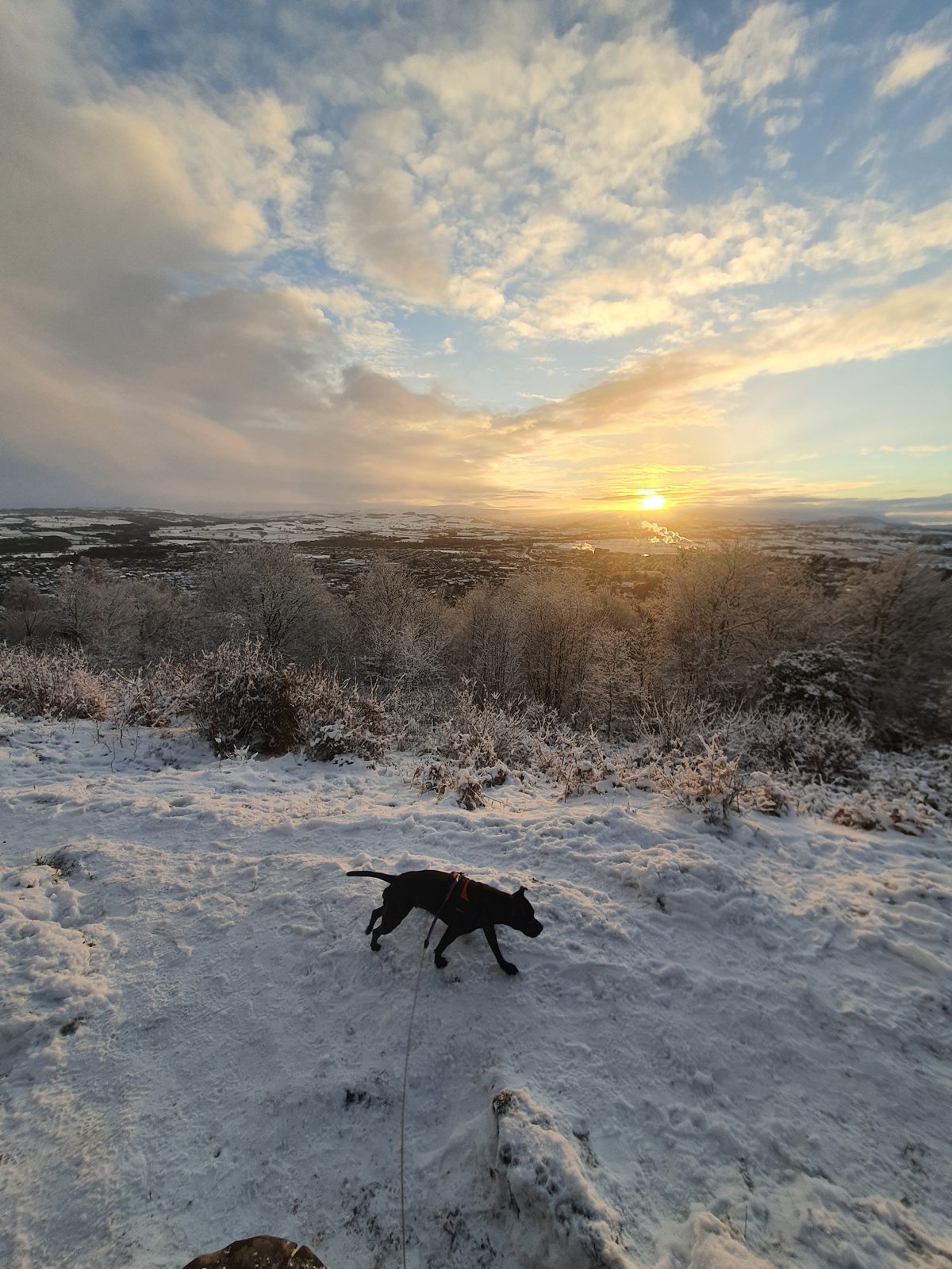
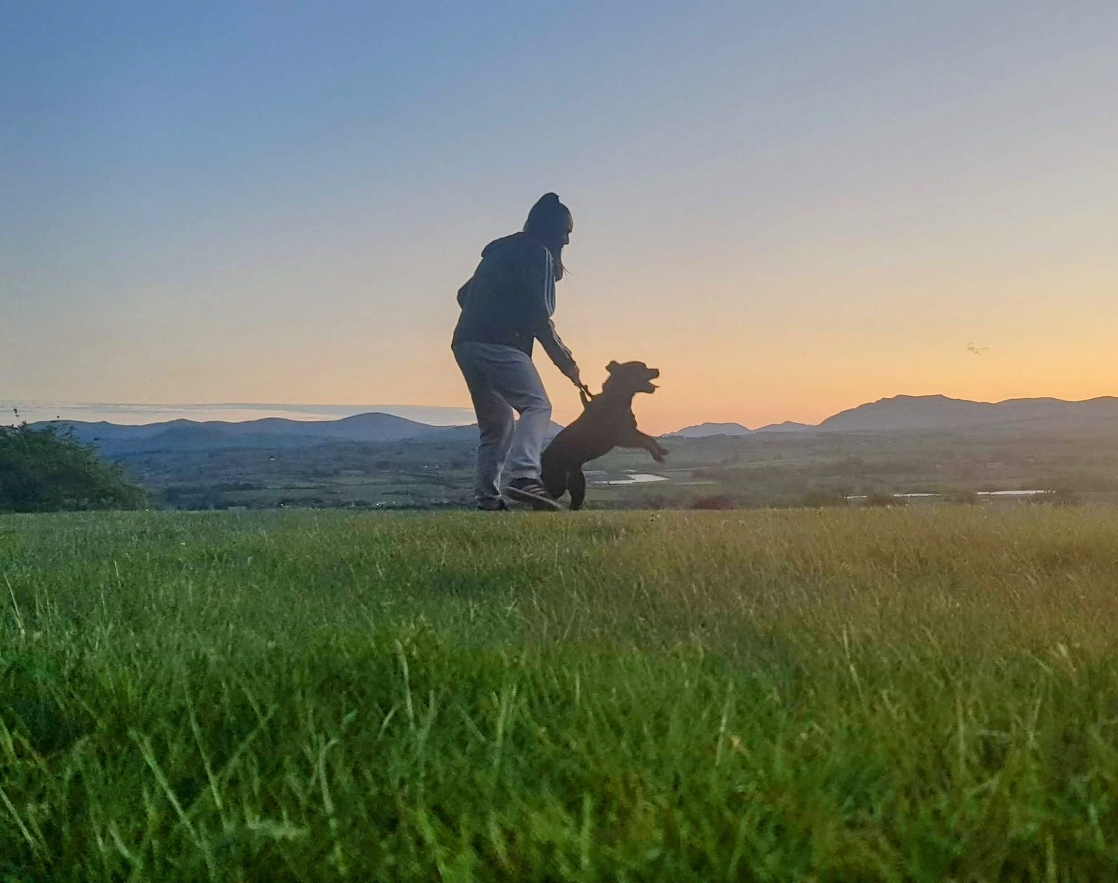
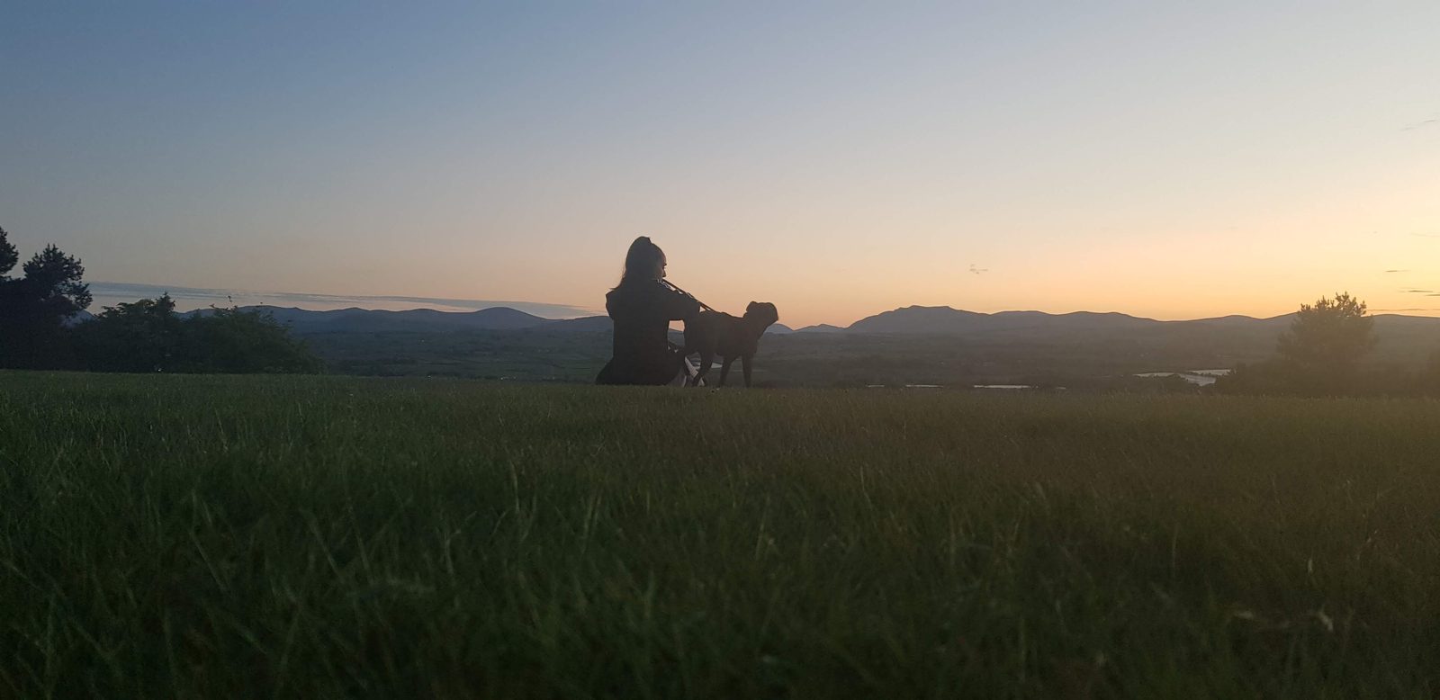
Silhouettes of a walker and Cass the Staffordshire Bull Terrier against the sunset Lakeland skyline on the evening circular above Penrith

Salkeld Road evening circular

The local's evening loop · straight from town, no car

Easy

Distance

1.6 or 2.2 mi loops

Time

45 min – 1 hr

Ascent

A steady climb

Terrain

Pavement, lane & parkland

The walk Penrith locals actually do on a summer evening — no car, no parking, no fell kit, straight out of the town centre and home within the hour. The short loop (1.6 miles, about 45 minutes): from the bottom of Salkeld Road follow it round to Green Lane, left at the T-junction to stay on Green Lane, left onto Inglewood Road and back round to the start. It climbs steadily — roughly 200 ft of ascent on the Inglewood Road leg alone, so it's honest exercise rather than a flat stroll — and the payoff is the Inglewood Road stretch, where the views open out over Penrith with the Lakeland fells beyond.

Sunset silhouettes on the golf-course section of the evening circular, the Lakeland fells on the horizon west of Penrith
The reason to time it for a clear evening — the fells on the skyline as the light goes.

The longer loop (about 2.2 miles, an hour): up Inglewood Road, right onto Green Lane, out at Penrith Golf Club on Salkeld Road, across the golf course, through the gate, then through the Beacon woods and the cemetery to come out on Beacon Edge — and any route back into town from there. A local's note: Beacon Edge sits above the east side of Penrith, so you don't have to close the loop — it's a natural place to peel off and drop down to wherever you're staying.

The golf course crossing. The path over the course is a public right of way — and an active golf course, crossed near a tee. Look left before you cross, wait for players to play through, and listen for a shouted warning. Right of way or not, courtesy and safety come first.
The snow-covered fairways of Penrith Golf Course with the town and the Eden Valley beyond
The course under snow, Penrith and the Eden Valley beyond.

Underfoot: Inglewood Road and Beacon Edge are pavement, Green Lane is a country lane, and the golf course is well kept — but the wooded section can get muddy in winter, and there's a clear concrete path between the cemetery and the Beacon. Mostly firm going: sensible shoes rather than boots, with the woods the one soft spot after rain.

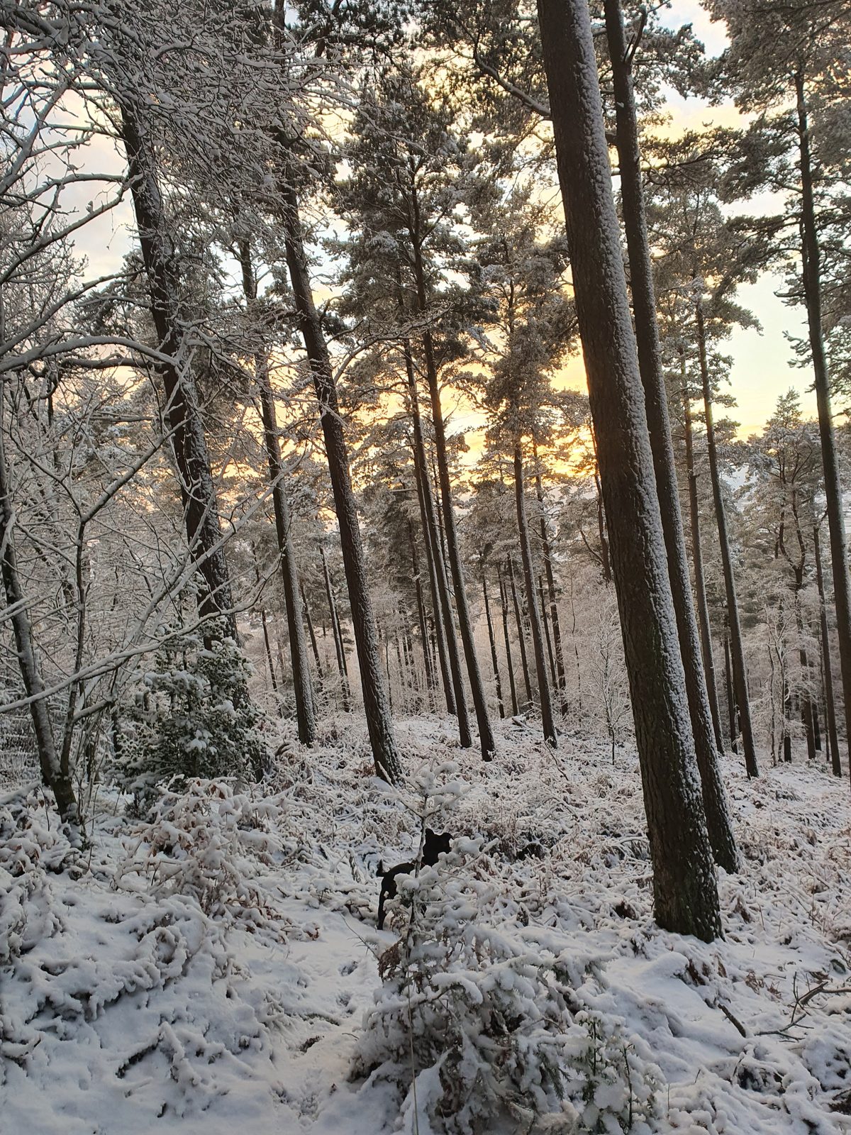
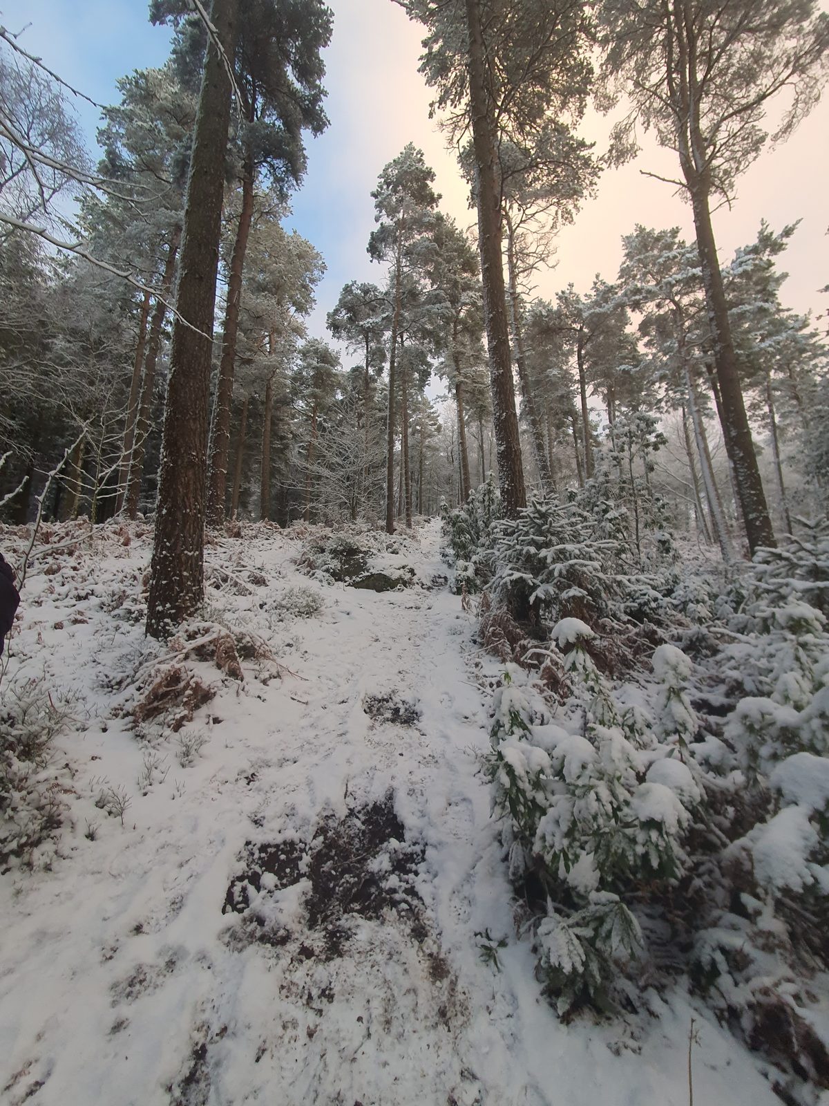
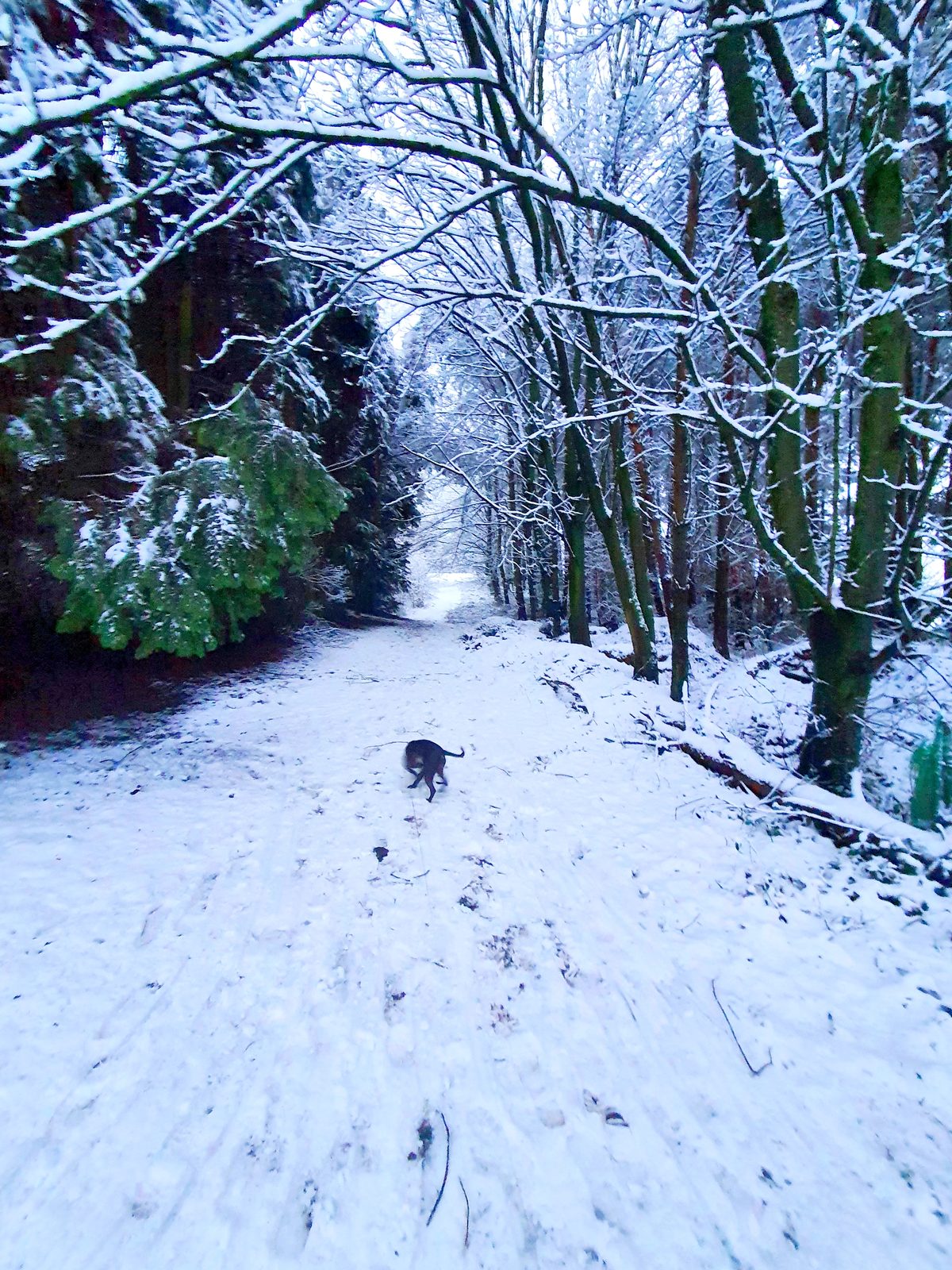
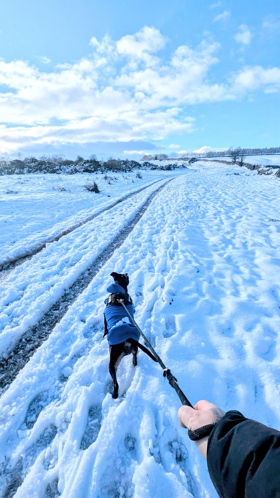
Cass the Staffordshire Bull Terrier on the snowy wooded path between the golf course and the Penrith Beacon woods
The wooded stretch towards the Beacon — the one soft spot after rain, and the best bit in snow.

The Beacon extension: where the path meets the cemetery you can join the Penrith Beacon route above and walk up to the Beacon Pike monument itself, then down to the main gate — a second way onto the Beacon that most write-ups miss.

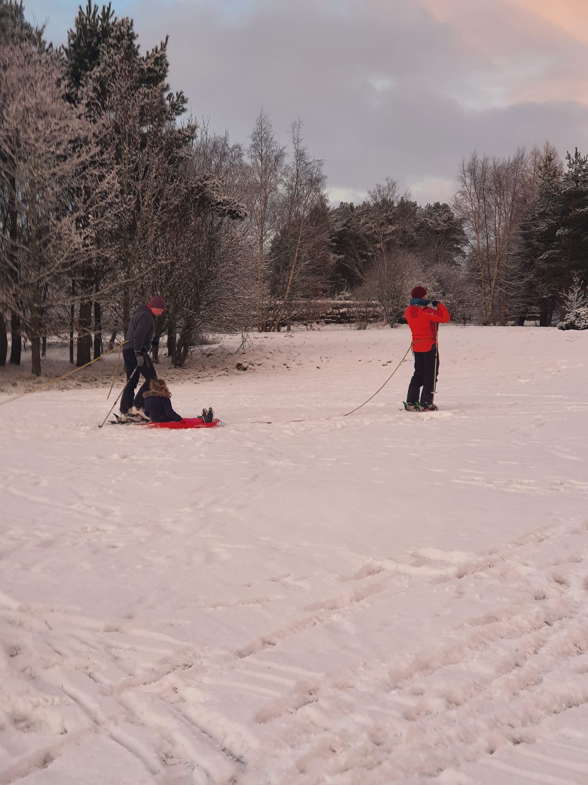
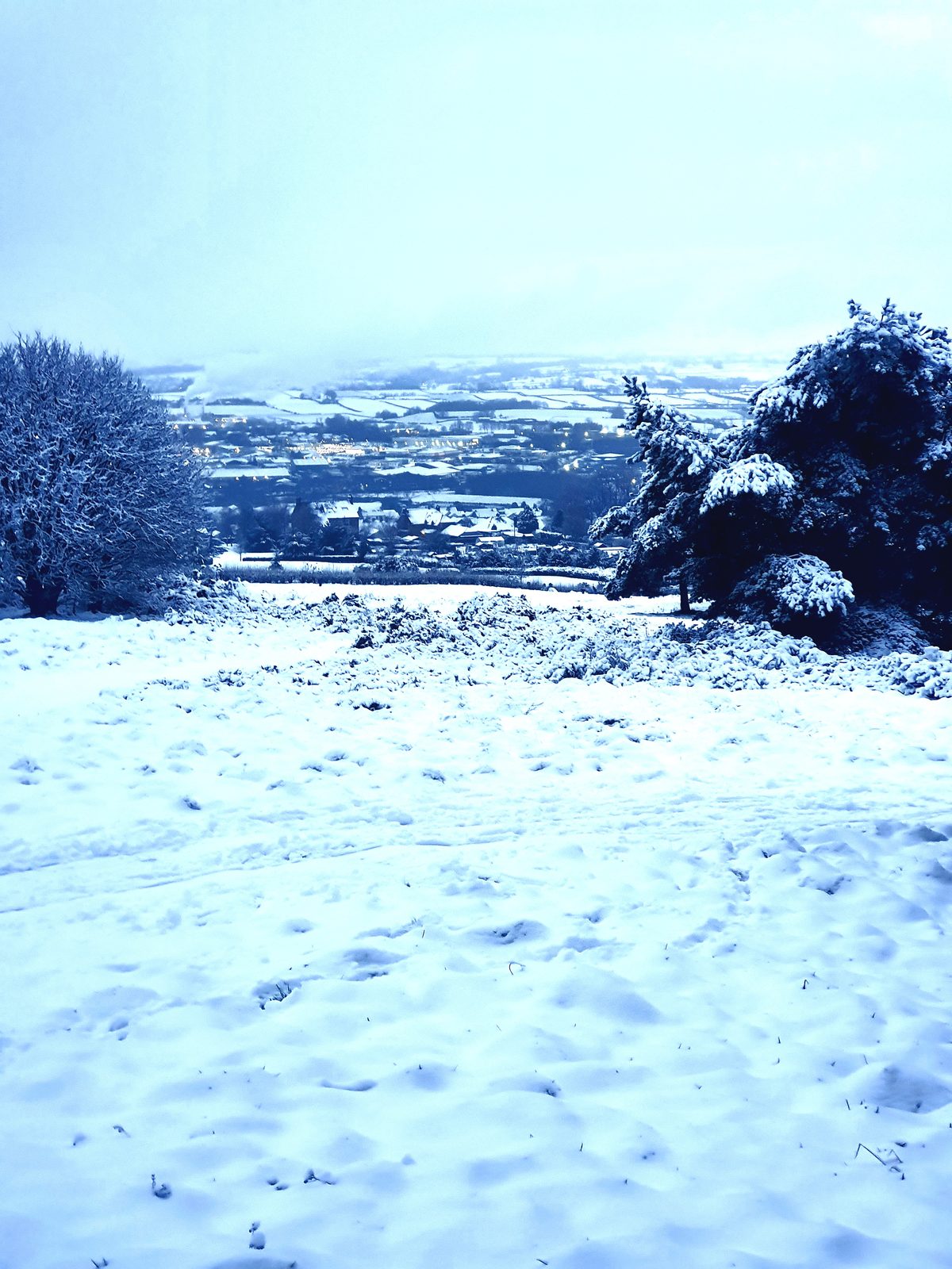
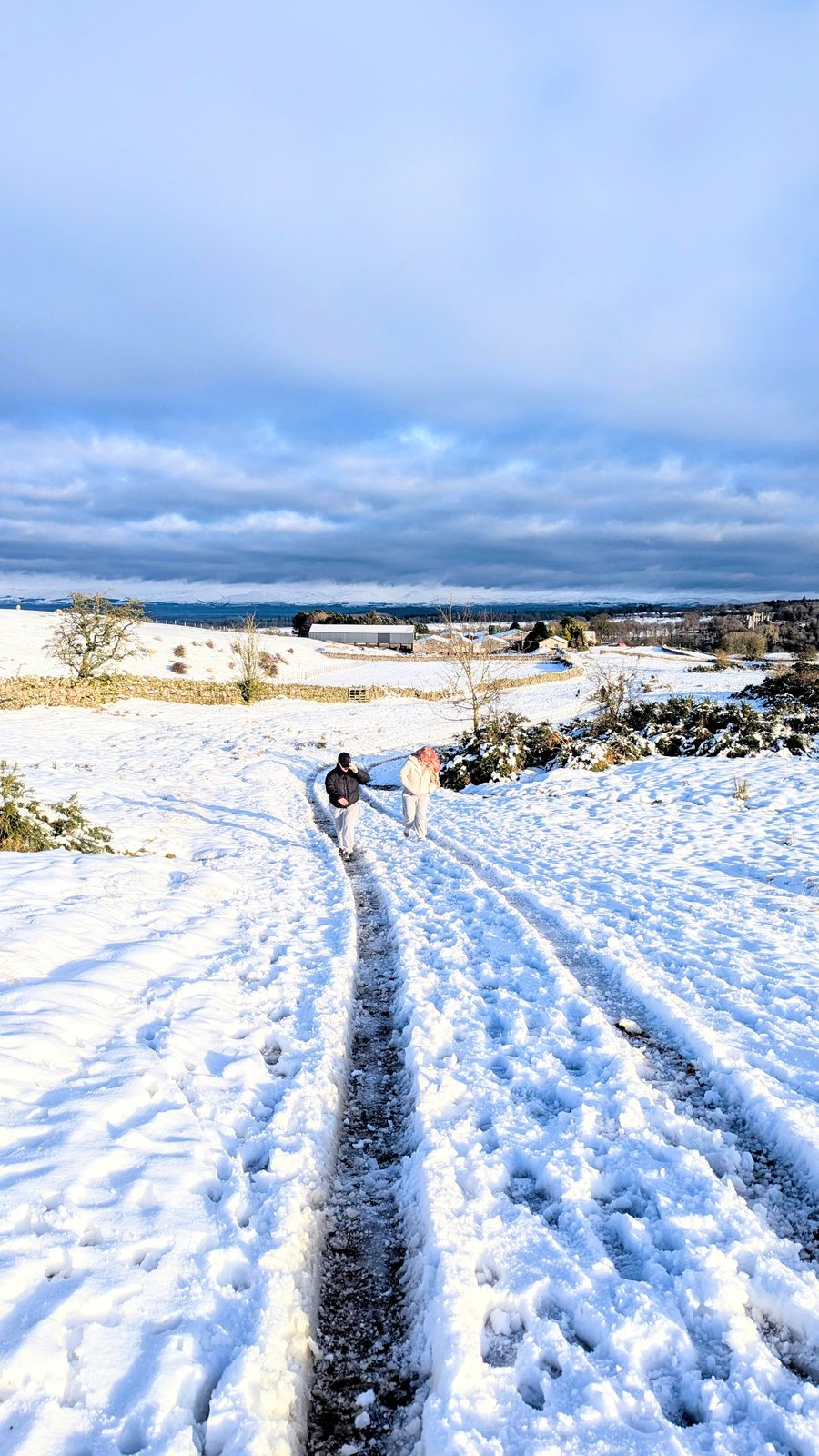
In winter it's a different walk and still a good one — Salkeld Road with the town lights below, the course under snow, and locals sledging on the slopes when it settles.

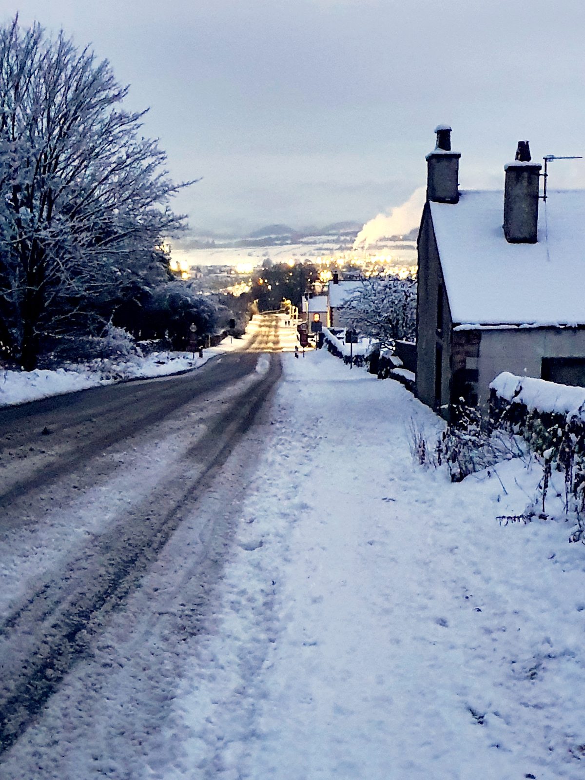
Salkeld Road in snow at dusk, with the lights of Penrith below and chimney smoke rising
Salkeld Road in the snow, the town lights coming on below.
Sledging on the snow-covered slopes of the golf course above Penrith
When the snow settles, the course slopes become Penrith's sledging hill.

Start: the bottom of Salkeld Road — though it's one clean loop, joinable from anywhere in town

No car needed: this is a from-the-door walk — see things to do in Penrith for the rest of the day

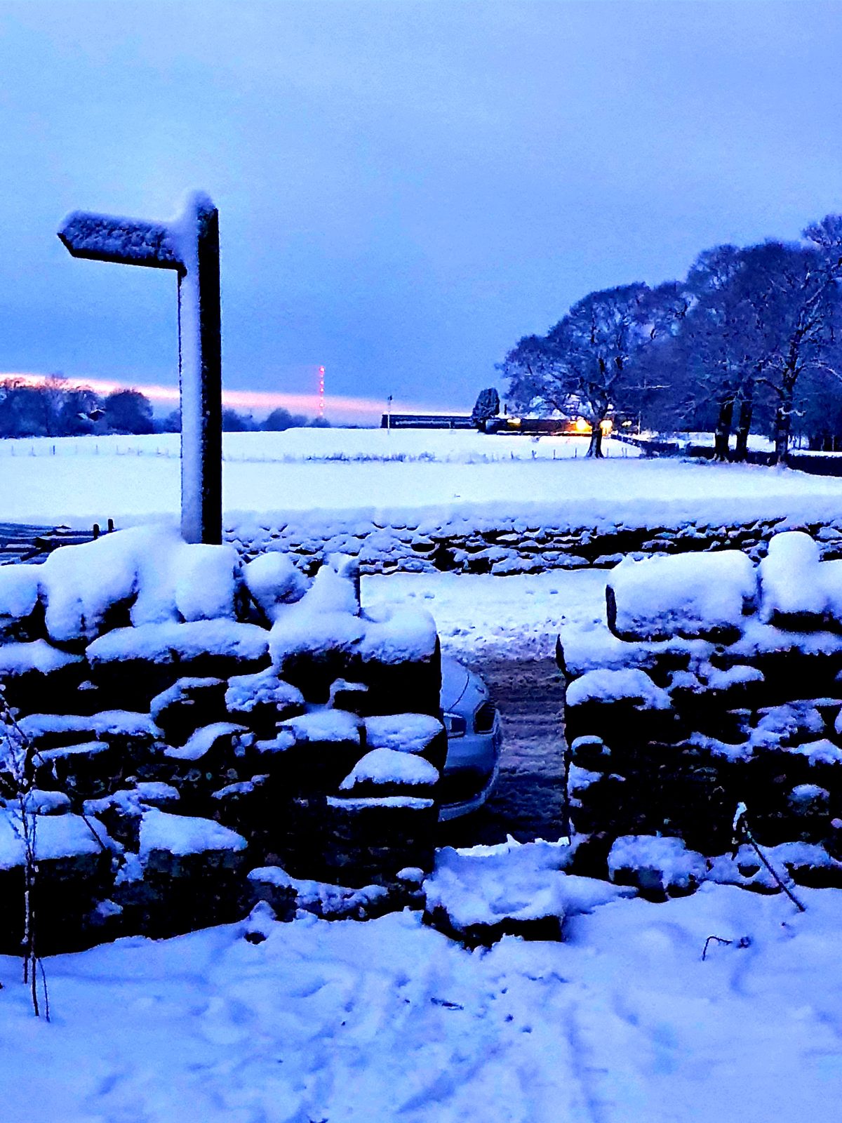
A snow-covered stile and footpath signpost at dusk on the Penrith evening circular
The stile and signpost at dusk — the route is waymarked where it leaves the roads.
Dog-friendly Sunset views Circular From the town centre
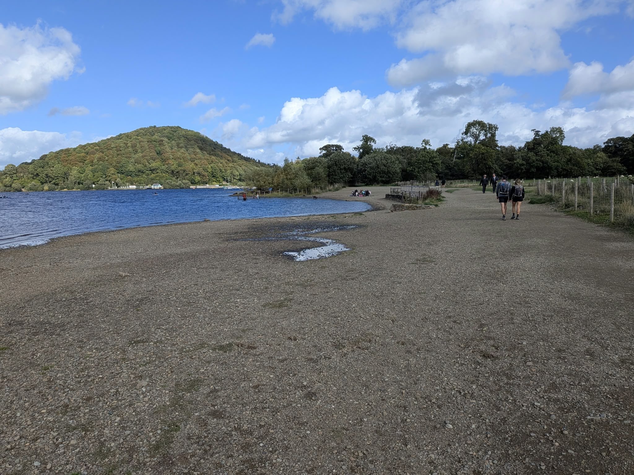
The wooded Dunmallard Hill hillfort across the bridge from Pooley Bridge, Ullswater, Lake District

Dunmallard Hill

Wooded hillfort · pairs with Pooley Bridge

Easy

Distance

~1–1.5 mi loop

Time

~45 min

Ascent

Low (conical hill)

Terrain

Woodland loop

The wooded, conical Iron Age hillfort just across the bridge from Pooley Bridge — a short, easy woodland loop with glimpses of Ullswater through the trees. It's the perfect little add-on to a Pooley Bridge visit or the end of the Eamont Way, and ideal for families and dogs who want a quiet leg-stretch with a touch of ancient history. Easy throughout and quickly done, so you can pair it with a lakeside lunch or a Steamer trip.

Start: Across the bridge from Pooley Bridge village, west bank of the River Eamont

Parking: Pooley Bridge village car parks

Find it: Search "Dunmallard Hill, Pooley Bridge" in Google Maps

Nearest pub / refuel

Pooley Bridge pubs & eateries — a few steps back across the bridge in the village.

Dog-friendly Ullswater glimpses Short loop Iron Age hillfort
Moderate

Moderate walks around Penrith

Lacy's Caves cut into the red-sandstone river cliff above the River Eden near Kirkoswald, Eden Valley, Lake District

Lacy's Caves & Long Meg

Red-sandstone river caves · a hidden gem

Moderate

Distance

4–5 mi

Time

2–3 hrs

Ascent

Moderate

Terrain

Riverside & field paths

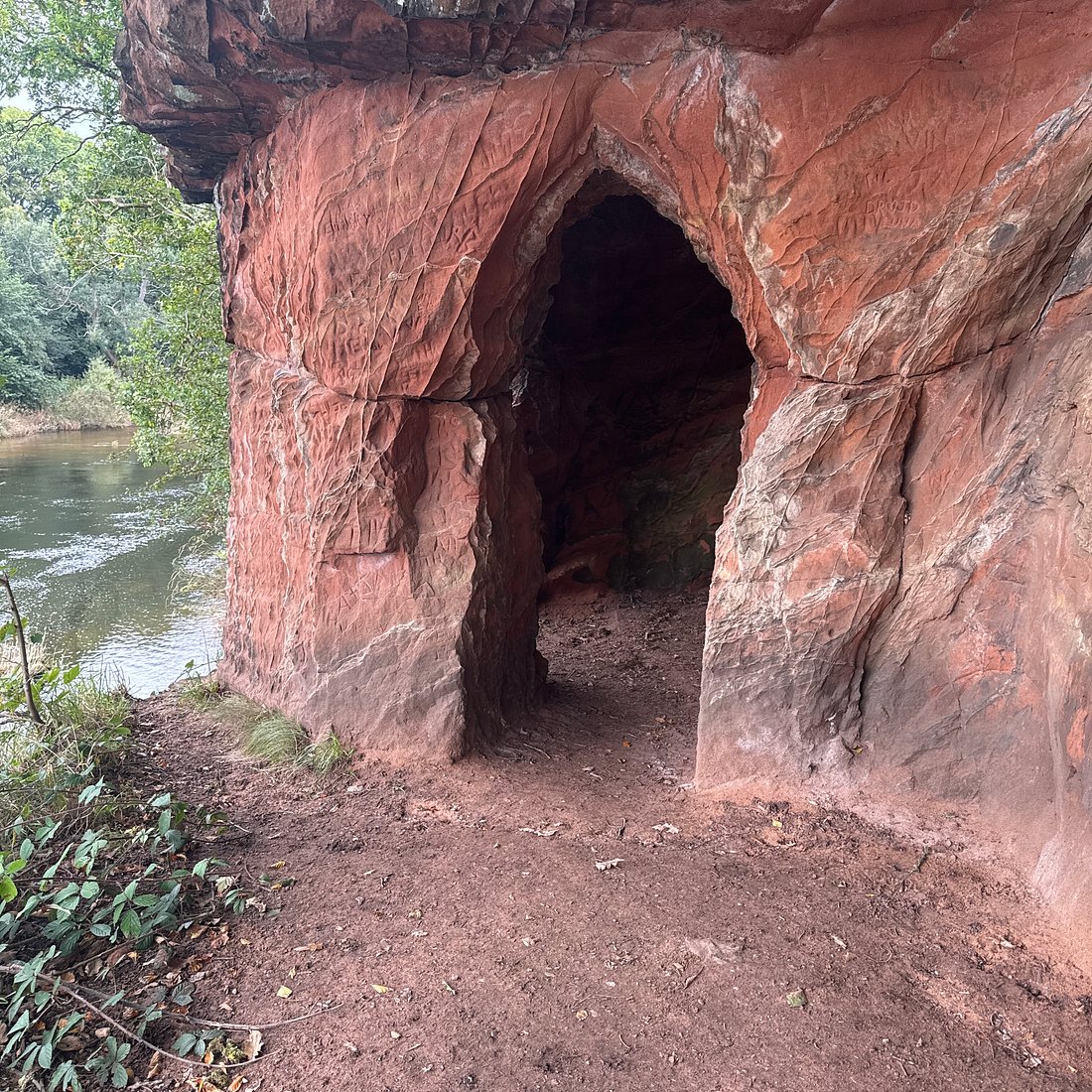
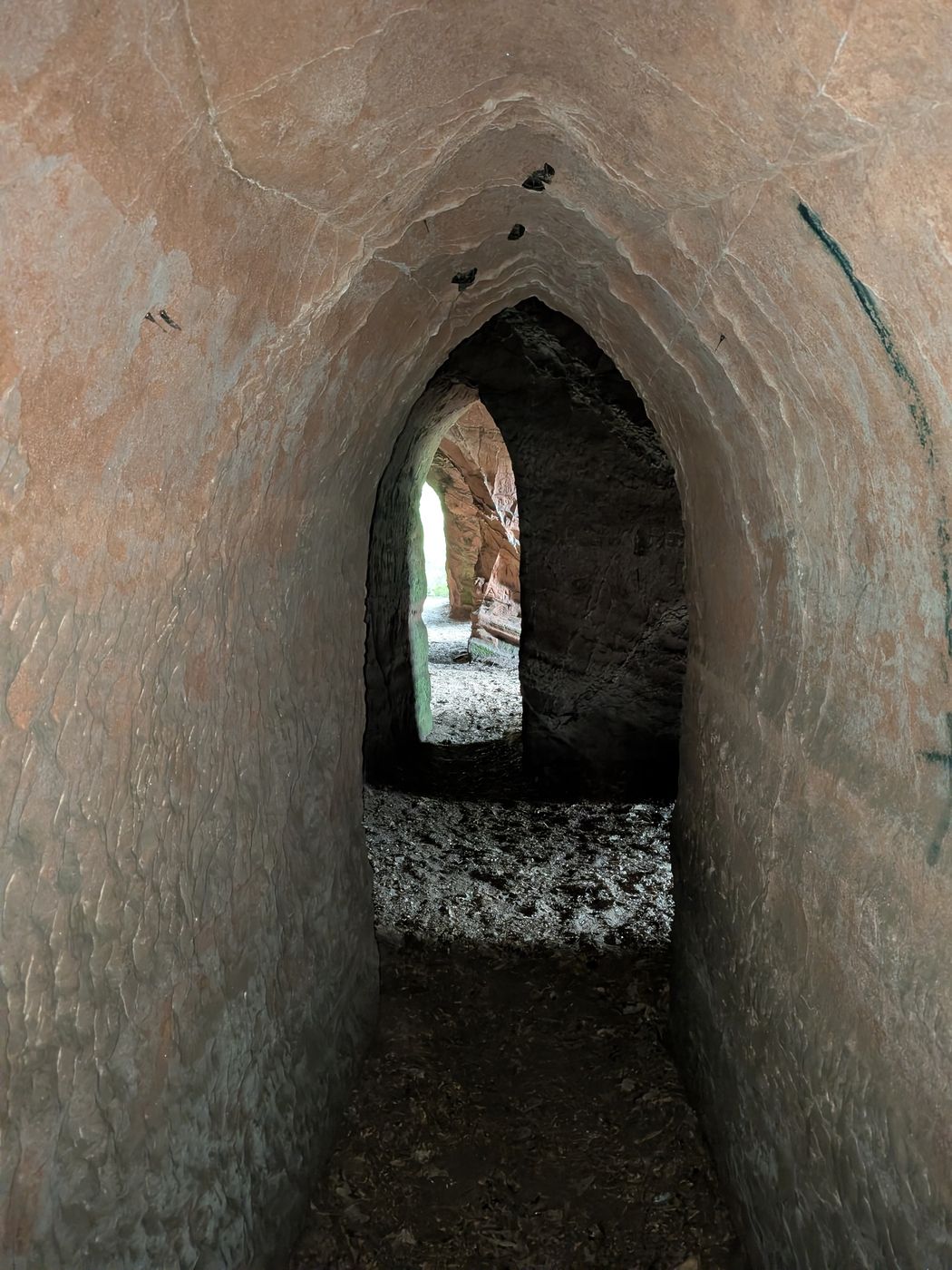
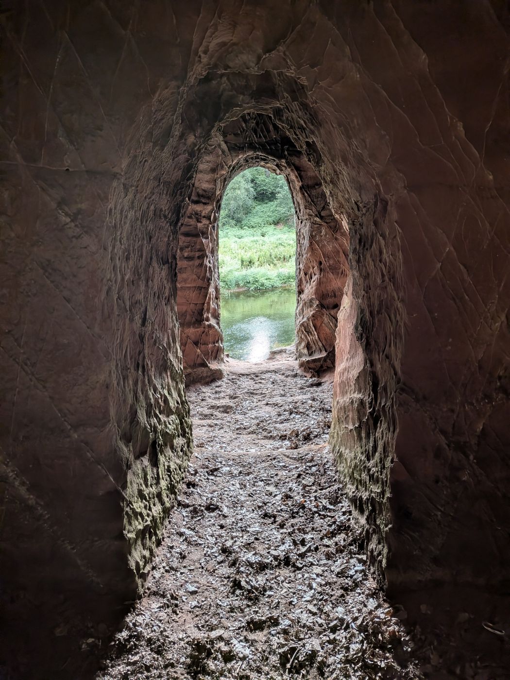
A fascinating circular near Kirkoswald that takes in two genuine hidden gems. Lacy's Caves are five chambers cut into the red-sandstone river cliff above the Eden — an 18th-century folly carved for Colonel Lacy — and the route also passes Long Meg and Her Daughters, one of England's largest stone circles. About 4–5 miles of riverside and field paths through quiet Eden Valley country. A lovely red-sandstone companion to the slate caves elsewhere in the Lakes — see the Caves guide — and the Penrith hub for more on Long Meg as a monument. Free, no tickets, and dog-friendly.

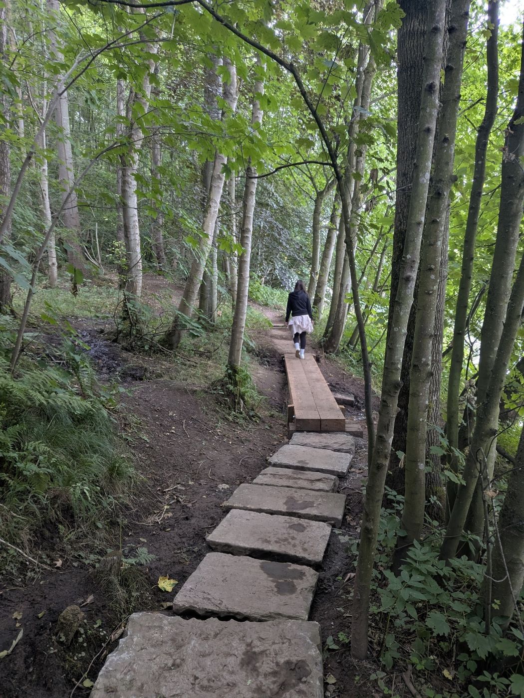
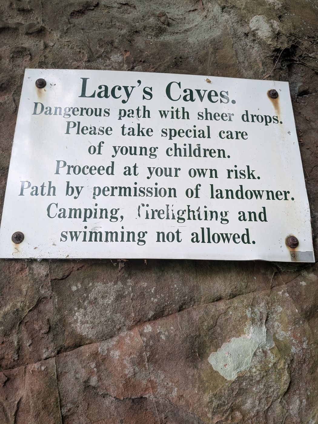
Lacy's Caves in the red sandstone above the River Eden near Kirkoswald Inside Lacy's Caves looking out to the River Eden The riverside woodland path to Lacy's Caves The landowner's warning sign at Lacy's Caves
See our full Lacy's Caves walk — photos and the shorter Kirkoswald approach
Care at the caves. The chambers are open and atmospheric but sit on a river-cliff edge — take care near drops and on slippery ground when wet. Fine for a sensible visit.

Start: Kirkoswald, or Little Salkeld for the riverside approach to the caves

Parking: Kirkoswald village, or roadside near Little Salkeld / Long Meg

Find it: Search "Lacy's Caves, Little Salkeld" in Google Maps

Nearest pub / refuel

The Fetherston Arms, Kirkoswald (CA10 1DQ, on the Square) — home-made food, ales and dog-friendly.

Dog-friendly Red-sandstone caves Circular Long Meg stone circle
The riverside woodland of Coombs Wood by the River Eden at Armathwaite, Eden Valley, Lake District

Coombs Wood, Armathwaite

Riverside woodland · great for cyclists too

Easy–Mod

Distance

~4 mi

Time

~2 hrs

Ascent

Gentle

Terrain

Riverside woodland

An excellent, underused riverside woodland walk by the River Eden at Armathwaite — peaceful, with classic red-sandstone river scenery and a real sense of getting away from the crowds. Peter rates it highly and reckons it's as good for cyclists as Whinlatter, making it a fine cyclist-friendly Eden alternative as well as a walk — see the Cycling Routes guide. Easy-to-moderate and dog-friendly, it ends right by a riverside pub, which makes it one of the best simple "walk-and-a-pint" outings in the valley.

Coombs Wood by the River Eden at Armathwaite Coombs Wood by the River Eden at Armathwaite Coombs Wood by the River Eden at Armathwaite Coombs Wood by the River Eden at Armathwaite

Along the Coombs Wood riverside at Armathwaite

Start: Armathwaite village — park at the Fox & Pheasant Inn, or on the bridge over the River Eden; a gate at the bridge's far end drops onto a riverside path into Coombs Wood, a nicer way in than the road

Parking: Armathwaite village (Armathwaite also has a railway station on the Settle–Carlisle line)

Find it: Search "Coombs Wood, Armathwaite" in Google Maps

Nearest pub / refuel

The Fox & Pheasant, Armathwaite — right at the foot of the walk by the river; food and ales.

Dog-friendly Riverside (River Eden) Circular Good for cyclists
Panoramic Ullswater views from Askham Fell above Askham village near Penrith, Eden Valley, Lake District

Askham Fell

Ullswater views · the Lowther Loop

Moderate

Distance

4–7 mi (loop-dependent)

Time

2.5–3.5 hrs

Ascent

Fell-edge climb

Terrain

Open common, fell paths

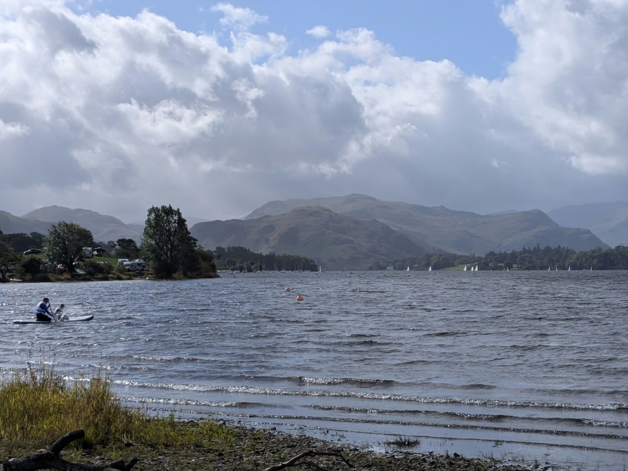
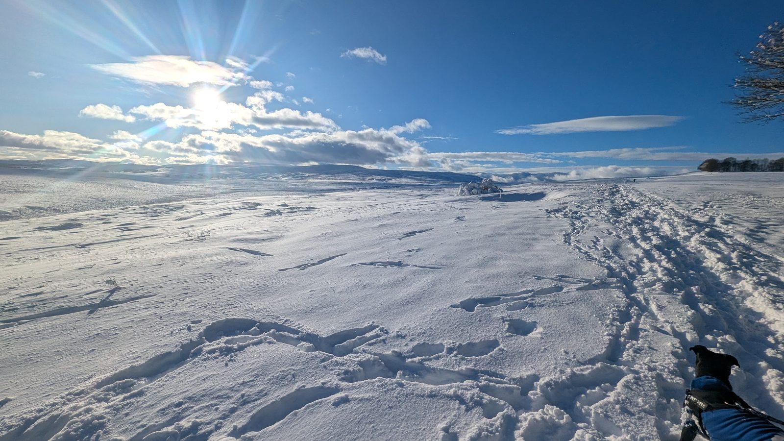
A breezy fell-edge walk above the village of Askham, with panoramic views over Ullswater and far fewer people than the honeypot fells. It forms the Lowther Castle Loop of the Ullswater Way — a 7.5-mile version via Helton and Askham — across open common scattered with ancient cairns and standing stones. Distances range from about 4 to 7 miles depending on the loop you choose. Cross-link Lowther Castle on the Penrith hub, and the full Ullswater Way on the Glenridding page. Dog-friendly (lead near livestock).

Askham Fell near Penrith Askham Fell near Penrith Askham Fell near Penrith Askham Fell near Penrith Askham Fell near Penrith Askham Fell near Penrith Askham Fell near Penrith

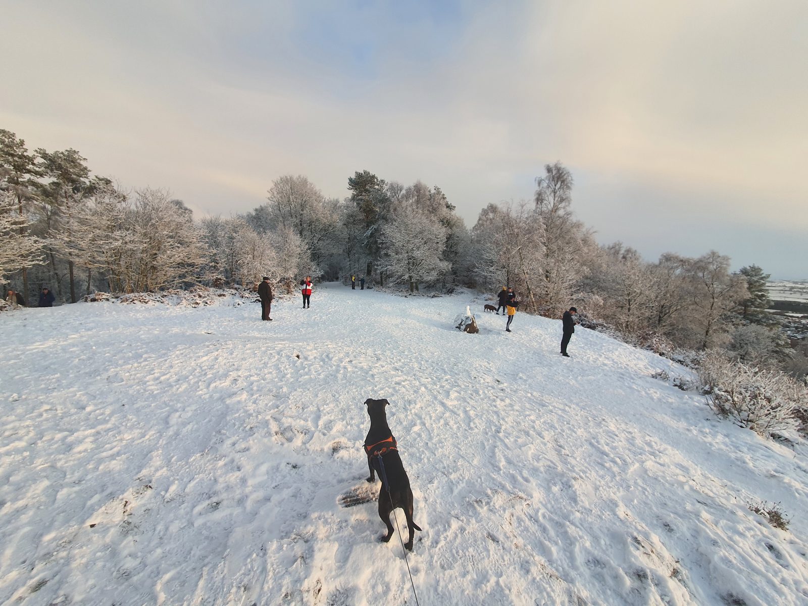
Askham Fell, in sun and snow

Start: Askham village, climbing onto the fell common; loops via Helton

Parking: Askham village (roadside)

Find it: Search "Askham, Penrith" in Google Maps

Nearest pub / refuel

The Queen's Head or George & Dragon, Askham — two village pubs in Askham itself.
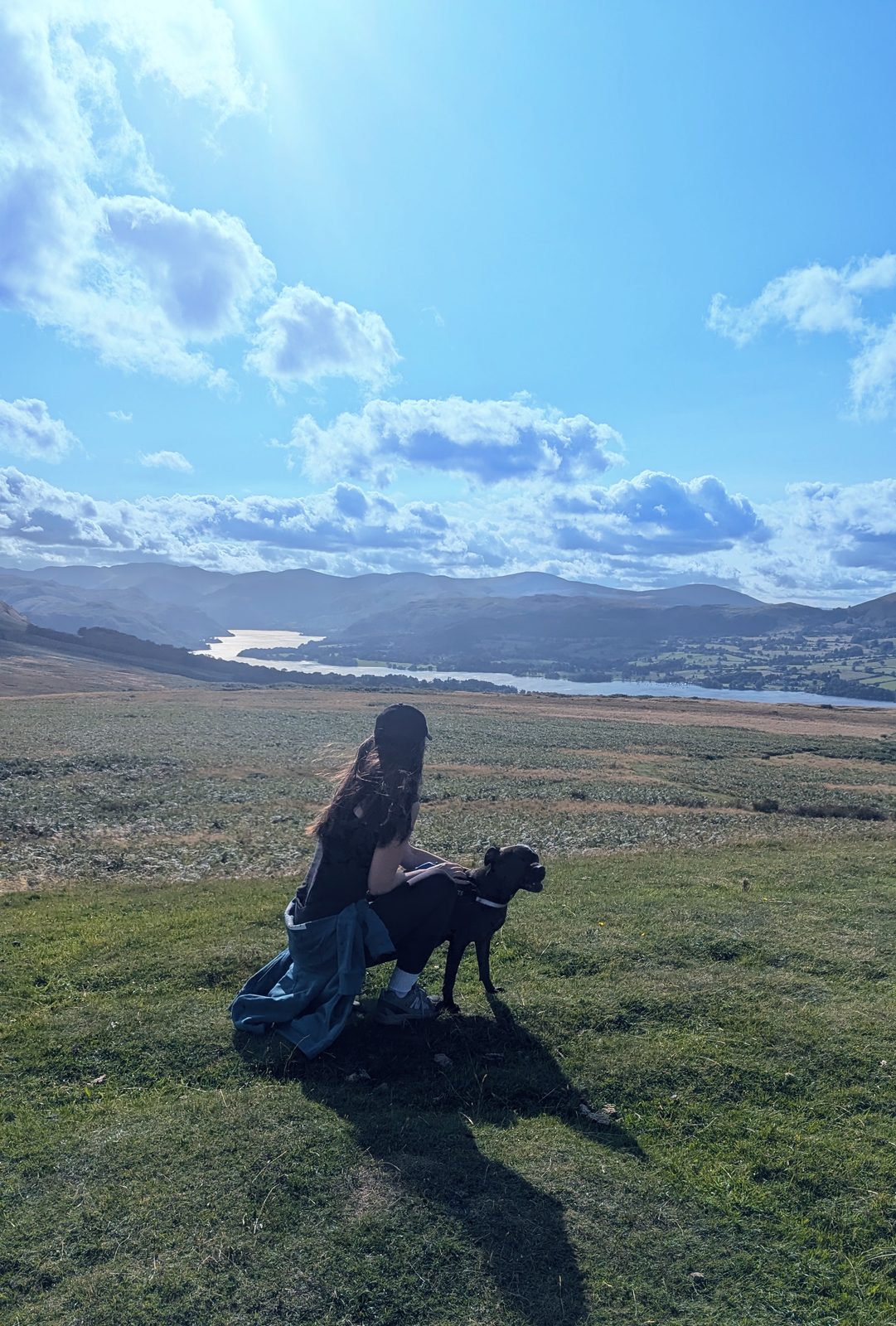
Dog-friendly (lead) Ullswater views Circular (Lowther Loop) Ancient cairns
Difficult

High fells from Penrith

No high fells straight from Penrith — and that's fine

Penrith is gentle Eden Valley country: its strength is heritage, riverside and "leave the car, finish at a pub" walking, not mountain days. For the high fells, head down the road to Ullswater. Helvellyn — one of England's great mountains — is covered on the Glenridding walks page, at Ullswater's mountain end. The good news: it's reached by the same 508 bus that brings you back from Pooley Bridge, so you can do the big fells car-free from Penrith too.
Helvellyn & the Ullswater fells on the Glenridding page

No walks match those filters.

Try clearing a feature or switching difficulty.

Keep exploring

More walks & nearby guides

Penrith opens onto Ullswater and the Eden Valley — the high fells at Glenridding, the red-sandstone caves, and the castles and stone circles on the hub.

Plan a car-free Penrith day around a walk

Free, no sign-up. Tell the planner which walk you fancy, your transport and the weather — it builds a timed day around it, with station starts, 508 bus times back and a pub at the finish sorted.

Open the free Lakes Planner

Common questions

Penrith walks, answered

What are the best walks around Penrith?
Penrith is the gateway to the Eden Valley, so its best walks are gentle, historic and riverside rather than high fells. The signed 5.5-mile Eamont Way from the station to Pooley Bridge is the standout, alongside Penrith Beacon straight from town, Lacy's Caves and Long Meg near Kirkoswald, Coombs Wood at Armathwaite and Askham Fell above Ullswater.
Can you walk from Penrith to Pooley Bridge?
Yes — the signed Eamont Way is a 5.5-mile waymarked route from Penrith Railway Station to Pooley Bridge on Ullswater, crossing the River Eamont at Sockbridge and heading south past the Fabis Fabulous Milk farm to finish at the Sun Inn. It's mostly flat and gentle (muddy after rain). The best way to do it is to leave the car: walk one way, have a pint at Pooley Bridge, and catch the 508 double-decker back to the station.
What are Lacy's Caves?
Lacy's Caves are five chambers cut into the red-sandstone river cliff above the River Eden near Kirkoswald — an 18th-century folly carved for Colonel Lacy. They're free to visit and atmospheric, but sit on a cliff edge, so take care near drops and on slippery ground when wet. They pair with the Long Meg and Her Daughters stone circle nearby on a 4–5 mile circular.
Where can you walk with views of Ullswater near Penrith?
Askham Fell gives panoramic views over Ullswater on a breezy fell-edge walk above Askham village, part of the Ullswater Way's Lowther Loop. Dunmallard Hill, the wooded hillfort across the bridge from Pooley Bridge, gives lake glimpses on a short, easy loop. Both are far quieter than the honeypot fells.
Are there riverside walks near Penrith?
Yes — the Eden Valley is full of them. The Ladies Walk at Edenhall follows the River Eden, Coombs Wood at Armathwaite is an excellent riverside woodland walk, and the Eamont Way follows the River Eamont valley to Pooley Bridge. All are gentle and dog-friendly.
Are there dog-friendly pub walks near Penrith?
Yes — Coombs Wood at Armathwaite finishes at the Fox & Pheasant right by the river, and the Lacy's Caves circular pairs with the Fetherston Arms on the Square at Kirkoswald. Both pubs are dog-friendly. Keep dogs on a lead near livestock on the fell-edge walks.
Can you do these walks without a car?
Yes — that's the theme here. The Eamont Way starts at Penrith station and the 508 bus brings you back from Pooley Bridge; Penrith Beacon is straight from the town centre. The same 508 bus continues to Glenridding for the Ullswater Way and Helvellyn, so you can reach the high fells car-free too.