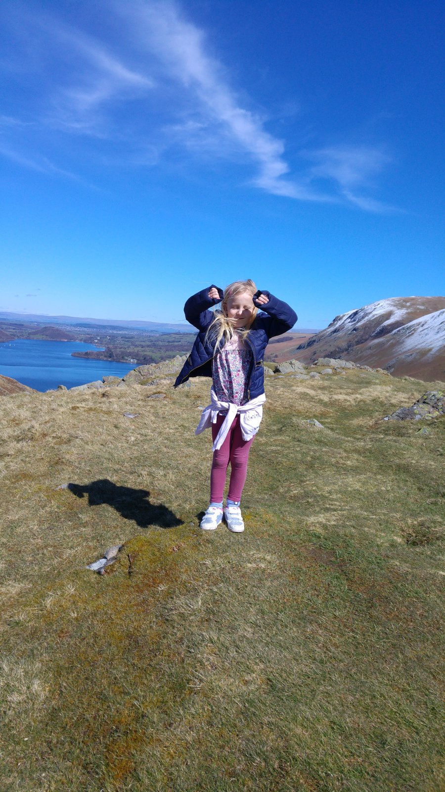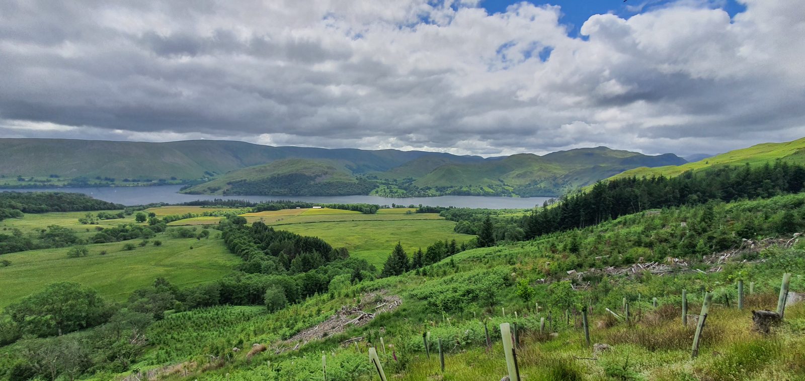
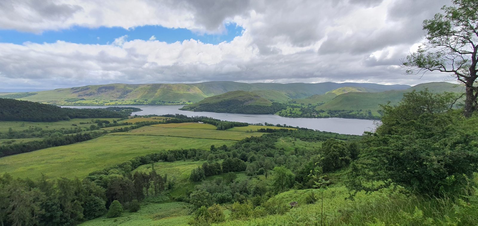
Ullswater seen from the fells — the lake the Ullswater Way circles
Long-distance walk · Ullswater

The Ullswater Way

A 20-mile (32 km) waymarked circular walk right around Ullswater — split into four stages between the Steamer piers, walkable in either direction, in a single long day or over a relaxed weekend.

20 mi
Full circular loop (32 km)
4
Stages, each between Steamer piers
1–4
Days — one long day or split it up
Free
GPX & printable PDF route map
Route map GPX & PDF Quick facts The 4 stages Walk & sail back Parking Connected walks The Ultra FAQ

The short answer

A complete walk around Ullswater

The Ullswater Way is a 20-mile (32 km) waymarked circular walk right around Ullswater in the Lake District. It has no fixed start and can be walked in either direction, and it splits neatly into four stages between the Ullswater Steamers piers — so you can do the whole loop in one long day or take it a stage at a time, walking one way and catching the boat or bus back.

It's a low-level route — it never climbs a summit — but it isn't a flat towpath either: expect gentle, persistent up-and-down, a few rough and narrow shoreline sections, and some genuinely wild, quiet stretches on the eastern side. The waymarking uses a distinctive yellow daffodil logo, a nod to the Wordsworth daffodils that grow on the Glencoyne shore. Along the way you pass the Iron Age farmstead of Maiden Castle, Aira Force waterfall, the ancient woods of Glencoyne Deer Park, the hamlet of Sandwick, and — if you fancy the detour — the Cockpit stone circle above Pooley Bridge.

This is our independent planning guide — the interactive map, the free downloads, the parking, and the boats-and-buses logistics that make the Way so easy to do in pieces. For the route's own heritage story, the Ullswater Association is the community home of the Way, and there's a printed Official Guide to the Ullswater Way sold locally (£1 a copy goes to the National Park). We're not the official route body — just the practical one.

On the Ullswater Way, Lake District
On the Ullswater Way.

The route

Ullswater Way route map

The full loop, colour-coded by stage, with the Steamer piers marked. Drag to pan, and click a stage line for its distance. An elevation profile sits beneath the map.

Route traced from OpenStreetMap data and shown for planning only — it is an indicative line, not a substitute for navigation. Carry OS Explorer OL5 (The English Lakes — North-Eastern area) and follow the daffodil waymarks on the ground.

Our own map and files — no third-party imagery. Route data © OpenStreetMap contributors (ODbL).

Pooley Bridge at the northern foot of Ullswater
Pooley Bridge — the traditional starting point of the Way.

Stage by stage

The four stages of the Ullswater Way

The Way divides naturally into four stages between the Steamer piers. Distances are the official Ullswater Association figures. Here's a taster of each — full stage-by-stage guides are on their way.

Stage 1

Pooley Bridge to Howtown

5 mi / 8 km

The gentle opener down the quiet north-east shore. It leaves Pooley Bridge through farmland with the option of climbing to the Cockpit stone circle on the open fell, before dropping to the lake and following the shore to the little pier at Howtown. Easy underfoot and a good half-day taster.

Return option: sail back from Howtown pier to Pooley Bridge on the Steamer.
Stage 2

Howtown to Glenridding

6.5 mi / 10.5 km

The wild one — the long, remote south-eastern shore that Wainwright called "the most beautiful and rewarding walk in Lakeland". Undulating paths with rocky sections weave through woodland and open fell past Sandwick and Side Farm, with constant views over the lake and its islands. The most committing stage: allow plenty of time.

Return option: the Steamer links Glenridding and Howtown piers, so you can ride back to the start of the stage.
Stage 3

Glenridding to Aira Force

3 mi / 4.6 km

The shortest and gentlest stage, along the western shore through the ancient Glencoyne Deer Park — the very shore where the Wordsworths saw their daffodils in 1802 — to the spectacular Aira Force waterfall. Mostly easy, well-surfaced paths, with one short 100-metre stretch alongside the A592, so take care there.

Return option: the Steamer's Aira Force pier (seasonal) and the 508 bus both link back to Glenridding.
Stage 4

Aira Force to Pooley Bridge

6.5 mi / 10.7 km

The closing stage back along the northern shore via Watermillock church and the fields above the lake, with the option to take in Maiden Castle, an Iron Age farmstead, before returning to Pooley Bridge. Undulating walking through woodland and farmland — a satisfying finish with the Way's end in sight.

Return option: the 508 bus runs the A592 corridor between Pooley Bridge, Aira Force and Glenridding.

Detailed stage-by-stage guides — turn-by-turn, timings and photos — are coming soon. For now these anchors are your quick reference.

An Ullswater Steamer on the lake
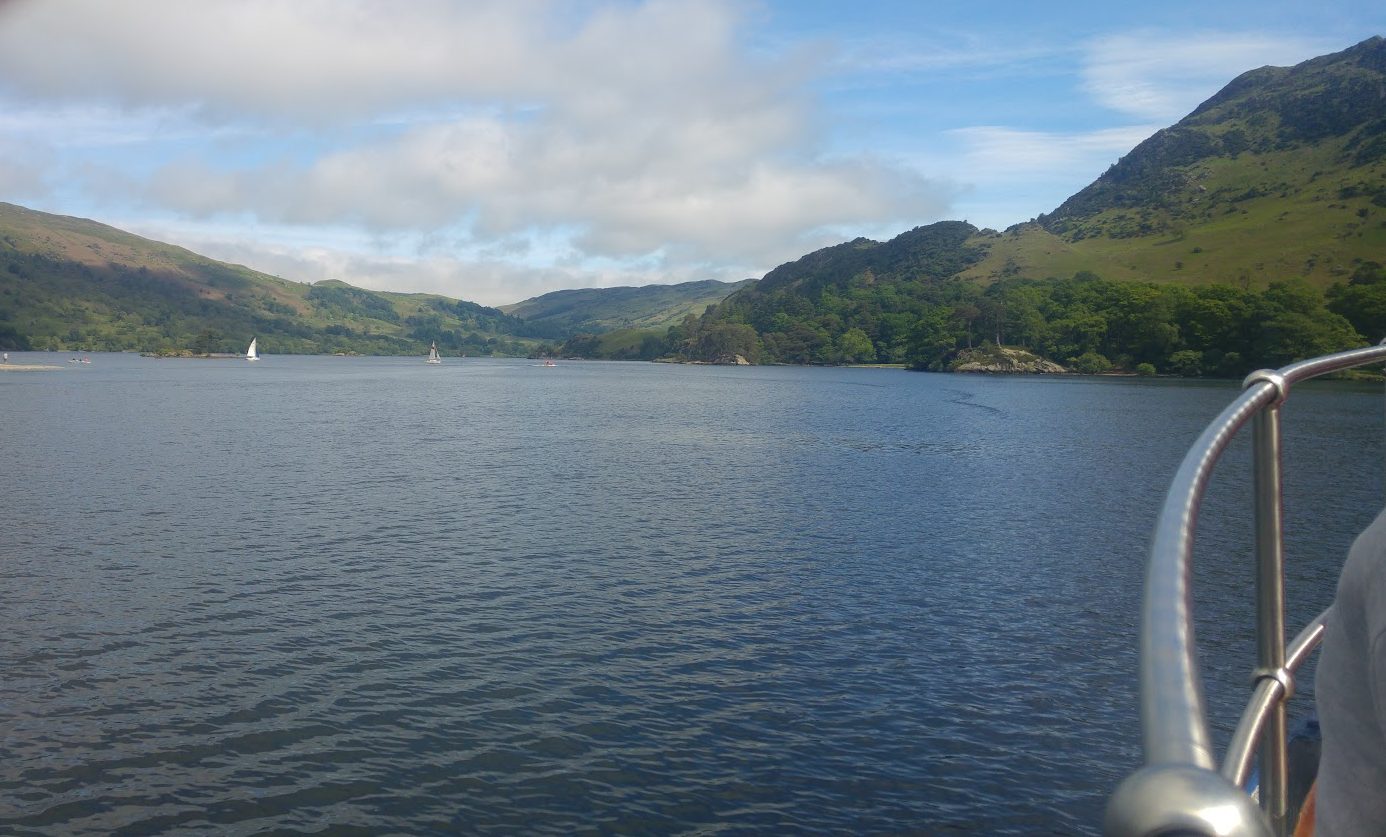
An Ullswater Steamer — walk a stage, sail back.

Boats & buses

Walk a stage, sail back

This is what makes the Ullswater Way so easy to enjoy: you don't have to walk a loop back to your car. The Ullswater Steamers — the historic passenger boats that have plied the lake since Victorian times — call at Pooley Bridge, Howtown, Glenridding and Aira Force (the Aira Force pier is seasonal). Walk one stage in the morning and let the boat carry you back to the start, watching the shore you've just walked slide past.

The other half of the trick is the 508 bus, which runs the A592 corridor down the western side of the lake, linking Penrith, Pooley Bridge, Aira Force, Glenridding and Patterdale. Between the boats and the bus you can start and finish almost any single stage without a second car — perfect for a linear day, or for chaining two stages and riding home.

Timetables and fares change by season, and the boats run a reduced winter service, so always check current times and prices before you set off — see Ullswater Steamers for the boats and Traveline for the 508 bus. Dogs travel on both (a small charge usually applies on the boats).

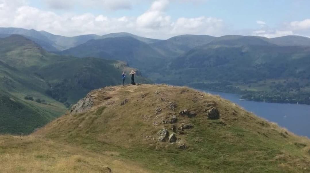
The summit of Hallin Fell above Ullswater
Hallin Fell — the Way skirts its base above Howtown.

Getting there

Parking & how to arrive

The two most convenient bases both have car parks, a Steamer pier and the 508 bus — so they make the natural start and finish.

Pooley Bridge

The northern base, at the foot of the lake. Pay-and-display car parking in the village, a Steamer pier and the 508 bus from Penrith. Cafés, pubs and shops for the start or end of your walk — see our Pooley Bridge guide.

Glenridding

The southern base, at the head of the lake below Helvellyn. A large pay-and-display car park, the main Steamer pier and the 508 bus. The busiest hub, with outdoor shops, cafés and pubs — see our Glenridding guide.

By public transport: the nearest railway station is Penrith (West Coast Main Line); from there the 508 bus runs to Pooley Bridge, Aira Force and Glenridding. Arriving car-free makes a linear walk simple — you don't need to return to a parked car at all.

On the Ullswater Way, Lake District
On the Ullswater Way, above the lake.

Go further

Connected walks & loops

The Ullswater Way links into a growing family of waymarked routes around the valley — handy add-ons or day walks in their own right.

Dalemain Loop

5 miles / 8 km

A gentle loop off the Way from Pooley Bridge through fields and parkland to Dalemain Mansion (garden and tearooms) and Dacre village with its ancient church.

Lowther Loop

7.5 miles / 12 km

A Pooley Bridge circuit via Askham and Helton up to Lowther Castle and Askham Fell, with panoramic views before dropping back through Askham village.

Eamont Way

5.5 miles

A signed valley walk connecting Penrith railway station to Pooley Bridge along the River Eamont — a car-free way to reach the start of the Ullswater Way.

Wordsworth Way

14 miles · point-to-point

A newer literary route from Glenridding to Ambleside over Grisedale Tarn, linking the Ullswater Way to Grasmere, Ambleside and the Coast to Coast path.

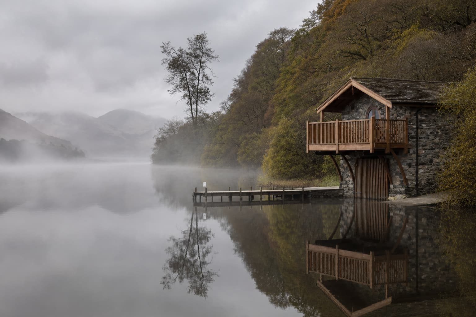
Jetty on Ullswater near Pooley Bridge on a misty morning
Misty water near Pooley Bridge, at the northern end of the route.

For runners

The Ullswater Way as a trail race

The 20-mile loop has become a popular trail-running objective, and there is an organised trail race held on the Ullswater Way each year — a proper event with marshals, checkpoints and a finish line, rather than a solo effort. If you'd rather race it than ramble it, that's the way to take on the full circuit in one go with support on hand.

Prefer to run it independently? The whole route is on public rights of way and open access land, so you can run it any day — just apply the same sense as any long fell-side outing: check the forecast, carry the essentials, respect walkers and livestock, and remember the remote Howtown-to-Glenridding stage has no easy escape and little phone signal.

Entries, dates and the exact course for the organised event are set by the race organiser — search "Ullswater Way trail race" for the current official event page and enter directly with them.

On the Ullswater Way, Lake District
Lakeside walking on the Ullswater Way.

Common questions

Ullswater Way questions, answered

How long is the Ullswater Way?
The Ullswater Way is a 20-mile (32 km) circular walk right around Ullswater. It is usually split into four stages between the Steamer piers — Pooley Bridge to Howtown (5 miles), Howtown to Glenridding (6.5 miles), Glenridding to Aira Force (3 miles) and Aira Force back to Pooley Bridge (6.5 miles). Fit walkers complete it in a single long day; most people enjoy it more over two to four days.
Can you walk around Ullswater?
Yes — the Ullswater Way is a waymarked circular route that goes all the way around the lake, about 20 miles in total. You do not have to do it in one go: because the Ullswater Steamers and the 508 bus call at points around the lake, you can walk a single stage and ride the boat or bus back to where you started.
How long does the Ullswater Way take?
Strong, experienced walkers complete the full 20 miles in a single day of roughly 8–10 hours. Most walkers split it into two, three or four shorter days using the Steamer piers and the 508 bus as break points, which turns it into a relaxed weekend or short-break walk with pubs, cafés and lake views along the way.
Where does the Ullswater Way start?
There is no fixed start point — the Ullswater Way is a loop, so you can begin wherever suits your parking or transport. The most common starting points are Pooley Bridge (at the northern foot of the lake) and Glenridding (at the southern head), both of which have car parks and a Steamer pier. The official route description works anticlockwise from Pooley Bridge, but you can walk it in either direction.
Which direction should you walk it?
Either direction works. The official Ullswater Association description runs anticlockwise from Pooley Bridge, but many walkers go clockwise to save the wilder, more dramatic Howtown-to-Glenridding shoreline — the section Wainwright called "the most beautiful and rewarding walk in Lakeland" — until the end. Check the low-sun direction for photography and pick whichever suits.
Is there an official guide or badge?
The route's community home is the Ullswater Association, which created and maintains it, and there is a printed Official Guide to the Ullswater Way sold in businesses around the lake, with £1 from every copy going to the National Park. Our page is an independent practical planning guide — we're not the official route body. The downloadable map and GPX here are free.
Can you wild camp on the Ullswater Way?
Wild camping is not a legal right in the Lake District — it happens by long-standing tolerance high on the open fells, well away from roads, walls and farmland, pitching late and leaving no trace. The Ullswater Way is a low-level route through farmland, villages and private land where wild camping is not appropriate. Use one of the campsites and hostels around the lake instead — see our wild camping guide for the full picture.
Can you take a dog on the Ullswater Way?
Yes — it's a popular dog walk, but much of it crosses working farmland with livestock, so dogs must be kept under close control and on a lead around animals and through fields with sheep. Dogs travel on the Ullswater Steamers (a small charge usually applies) and on the 508 bus, so a walk-one-way-and-sail-back day works well with a dog too.

Explore more

Plan the rest of your Ullswater trip

Plan your Ullswater Way day

Free, no sign-up. Tell the planner your dates, transport and how far you want to walk — it builds a stage-by-stage plan around the boats, buses and the weather.

Open the free Lakes Planner

What the Fell

The Lake District newsletter worth reading

Events, openings, quiet walks and honest tips — straight to your inbox. No spam, ever.

What the Fell newsletter