Wastwater and the Wasdale Screes beneath Great Gable and Scafell Pike, Lake District
Western Lakes · England's highest mountain

Wasdale Walks

England's most dramatic valley — home to its highest mountain, deepest lake and oldest climbing heritage. From an easy Wastwater lakeshore stroll to Scafell Pike and Great Gable, with routes, parking, difficulty and honest safety info for each.

A hand-picked guide

The best walks from Wasdale

Wasdale is England's most serious and spectacular valley: the head of the dale gathers its highest mountain, Scafell Pike (978m), its deepest lake, Wastwater, and the birthplace of British rock climbing at the Wasdale Head Inn. This is a hand-picked guide to the best walks from Wasdale, with route, distance, ascent, parking, start points and honest safety info for each. Begin with the easy Wastwater lakeshore and the gentler Lingmell and lower-valley options; step up to shapely Yewbarrow and Kirk Fell; then take on Scafell Pike and Great Gable when the weather is right. Wasdale is remote — a single-track road with no public transport — so plan parking and timings carefully. For the head-of-valley attractions, see the Wasdale hub.

Showing all 6 walks.

Easy

Easy walks from Wasdale

Wastwater and the Screes beneath Great Gable, Wasdale, Lake District
The easy north-western shore path along Wastwater, Wasdale, Lake District

Wastwater lakeshore

England's deepest lake · "Britain's Favourite View"

Easy

Distance

Varies · short strolls

Time

30 min–2 hrs

Ascent

Low (N shore)

Terrain

Lakeshore path

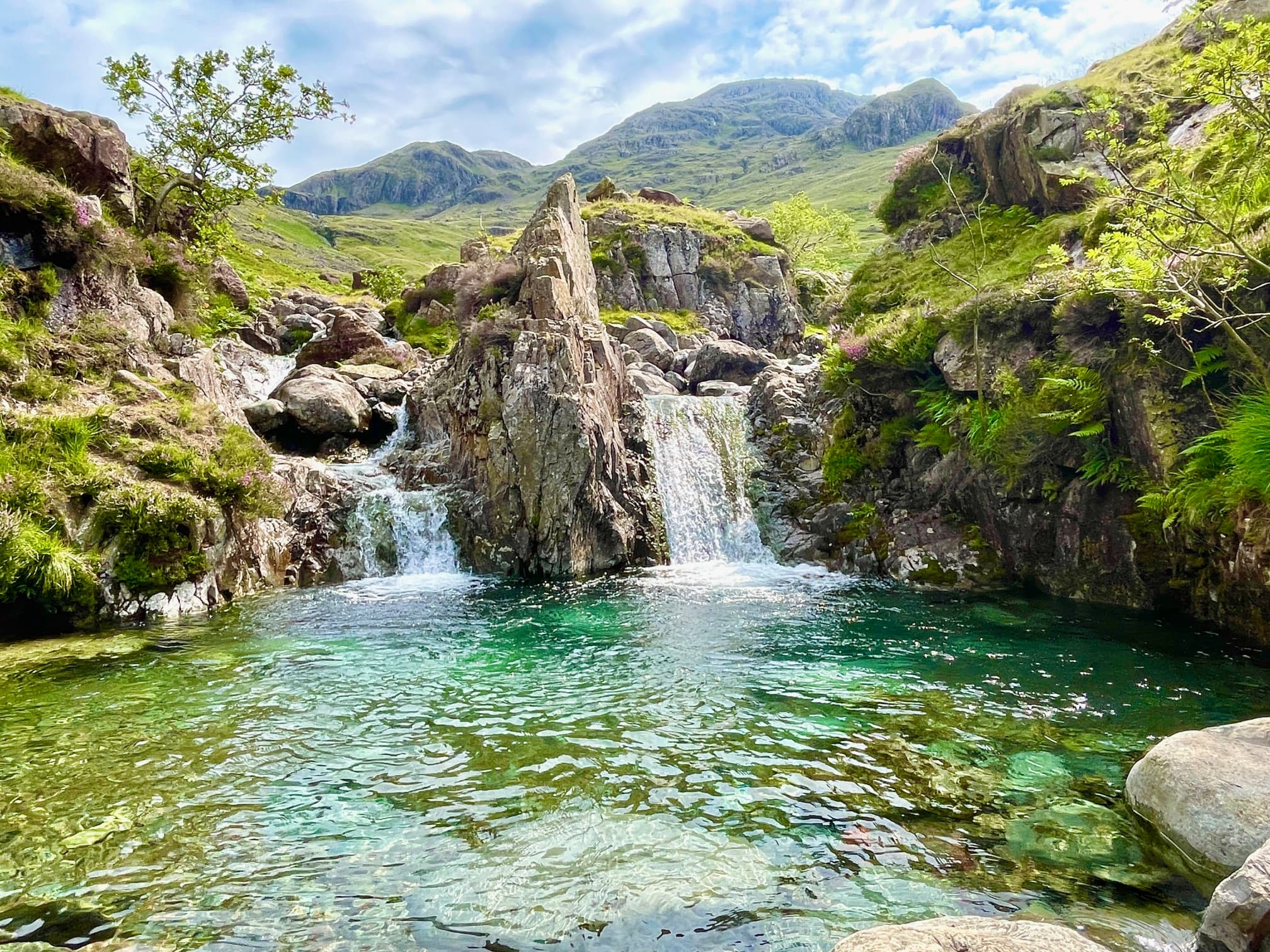
England's deepest lake — 258 feet — lying beneath the dramatic Wastwater Screes, with the head-of-valley view of Great Gable voted "Britain's Favourite View". Easy lakeshore strolls run from the National Trust car parks along the gentle north-western shore, a photography hotspot at any hour. One honest warning: the path along the south-eastern shore beneath the Screes is rough, unstable and genuinely dangerous, crossing large scree boulders above deep water — use the north shore for the easy walk. Wasdale is remote, with a single-track road in from Gosforth and no public transport, so come prepared. Dog-friendly.

Start: National Trust Lake Head car park (CA20 1EX) or Overbeck Bridge, off the single-track road from Gosforth

Parking: NT pay & display at Lake Head (CA20 1EX) and Overbeck Bridge. Remote — no buses; nearest station Seascale

Find it: Search "Wastwater National Trust car park" in Google Maps

Nearest pub / refuel

Wasdale Head Inn — England's highest pub of its kind, serving walkers for 200+ years and the birthplace of British rock climbing, at the valley head. The Strands Inn at Nether Wasdale is closer to the lake foot.

Dog-friendly Lake views Avoid the Screes path Not a Wainwright
Lingmell and the lower Wasdale valley below Scafell Pike, Wasdale, Lake District
The remote moorland walk towards Burnmoor Tarn from Wasdale, Lake District

Lingmell & lower valley

Lower fells & Burnmoor Tarn · not-the-big-one days

Easy–Mod

Distance

3–5 mi (route-dependent)

Time

2–3.5 hrs

Summit

Lingmell 807 m

Terrain

Valley & moorland paths

Gentler valley and lower-fell options for those not climbing the big mountains. Lingmell is the lower shoulder in front of Scafell Pike and gives the best close-up view of the Pike and its crags for far less effort than the summit. Burnmoor Tarn is a remote moorland tarn reached by an old corpse road from Wasdale Head, a quiet there-and-back across open fell. These are the ideal "not doing the big one today" picks — still wild and atmospheric, but achievable on a half-day. Dog-friendly (keep dogs on a lead near sheep on the open fell).

Start: Wasdale Head (for Lingmell via Lingmell Gill, or Burnmoor Tarn via the old corpse road)

Parking: National Trust Wasdale Head car park (grid NY 183 075); arrive early in season

Find it: Search "Wasdale Head National Trust car park" in Google Maps

Nearest pub / refuel

Wasdale Head Inn — at the valley head, the only pub up here. No pub at the trailhead, so the Inn is your refuel either before or after the walk.

Dog-friendly (lead) Close-up Scafell view Burnmoor Tarn option Lingmell is a Wainwright
Moderate

Moderate fells from Wasdale

The shapely ridge of Yewbarrow above Wastwater, Wasdale, Lake District
The steep climb up Yewbarrow with Wasdale and the Screes beyond, Lake District

Yewbarrow

Shapely steep little mountain · a Wainwright

Mod–Hard

Distance

~4 mi

Time

3–4 hrs

Summit

627 m

Terrain

Steep, rocky ridge

The shapely, boat-shaped fell on the north-western side of Wastwater — 627 metres, a steep little mountain with superb views down the lake and across to the Scafell range. It's a proper climb for its size, with steep ground at either end of the ridge, but quieter than the big-name summits and a real favourite with fell walkers who know Wasdale. It IS a Wainwright. Choose a clear day, take care on the steep, rocky sections, and keep dogs on a lead near sheep.

Start: Overbeck Bridge on Wastwater's north-western shore, climbing the south ridge

Parking: National Trust Overbeck Bridge car park (pay & display)

Find it: Search "Overbeck Bridge car park, Wasdale" in Google Maps

Nearest pub / refuel

Wasdale Head Inn — a short drive up at the valley head. No pub at the trailhead — the Inn is the nearest, the only pub at the head of the dale.

Dog-friendly (lead) Wastwater views Out-and-back Wainwright
The big rounded summit of Kirk Fell between Great Gable and Pillar, Wasdale, Lake District
The steep direct climb up Kirk Fell from Wasdale Head, Lake District

Kirk Fell

Big rounded fell · a steep, honest Wainwright

Mod–Hard

Distance

~5 mi

Time

4–5 hrs

Summit

802 m

Terrain

Very steep direct climb

The big, rounded fell between Great Gable and Pillar at the head of Wasdale — 802 metres, reached by a famously steep, relentless direct climb straight up from Wasdale Head. It's a leg-burner with little respite on the way up, rewarded by a broad summit plateau and a sense of being deep in the high western fells. Quieter than its celebrated neighbours and a satisfying day for strong walkers; it IS a Wainwright and often combined with Great Gable. Choose good visibility, and keep dogs on a lead near stock.

Start: Wasdale Head, via the steep direct path up the south-western face

Parking: National Trust Wasdale Head car park (grid NY 183 075)

Find it: Search "Wasdale Head National Trust car park" in Google Maps

Nearest pub / refuel

Wasdale Head Inn — at the valley head, right by the start. The only pub up here and the natural post-walk refuel.

Dog-friendly (lead) High-fell views Out-and-back / link Wainwright
Difficult

Difficult mountain days from Wasdale

No walks match those filters.

Try clearing a feature or switching difficulty.

Keep exploring

More walks & nearby guides

Wasdale sits at the wild western heart of the Lakes — the head-of-valley attractions, the swims, and the next big mountain valley over the passes.

Plan your whole Wasdale day around a walk

Free, no sign-up. Tell the planner which walk you fancy, your transport and the weather — it builds a timed day around it, with parking, refuel and remote-valley logistics sorted.

Open the free Lakes Planner

Common questions

Wasdale walks, answered

Is Scafell Pike ok for beginners?
Yes, for reasonably fit beginners in good weather — but it's a serious mountain, not a stroll. England's highest peak at 978m is relentlessly uphill over rough, rocky ground with no shelter and a featureless boulder summit. Choose a clear day, start early, carry map, compass and layers, and turn back if the cloud comes down. Achievable and brilliant with preparation; dangerous if underestimated.
Is Scafell Pike harder than Snowdon?
They're similar in height and overall effort, but Scafell Pike is rougher underfoot, remoter and has no café or train at the top. Snowdon has well-graded tourist paths and a summit café; Scafell Pike is a true mountain walk with a rocky boulder-field summit that's easy to lose in mist. Most walkers find Scafell Pike feels wilder and more committing.
Which of the Three Peaks is hardest?
Scafell Pike is often rated the trickiest of the National Three Peaks — not the longest climb, but the roughest underfoot with the hardest navigation, especially on the boulder-strewn summit in poor visibility. Ben Nevis is higher and longer; Snowdon is the most developed. Scafell Pike's remoteness and lack of facilities catch people out.
How long does Scafell Pike take from Wasdale?
The Wasdale Head route is the shortest and most direct ascent — roughly 6 miles round trip with about 900m of ascent, taking most walkers 5–7 hours including breaks. It's steep and relentless, but the quickest way up England's highest mountain.
Where do you park for Scafell Pike?
Most walkers use the National Trust Wasdale Head car park (Lake Head, grid NY 183 075), around £9/day with roughly 100 spaces, toilets and a welcome centre lending free maps, compasses and whistles. There's limited free grass parking nearer the inn. It's remote — a single-track road, no buses, nearest station Seascale about 10 miles away — so arrive early in season.
Is Great Gable a Wainwright, and is it a scramble?
Yes — Great Gable (899m) is a Wainwright. The standard route from Wasdale Head via Sty Head is steep and rough with some easy scrambling, but no technical climbing. Its flank holds Napes Needle, the famous rock pinnacle that's seen as the birthplace of British rock climbing. Roughly 5 miles from Wasdale Head.
Is the Wastwater Screes path safe?
No — the path along the south-eastern shore beneath the Screes is rough, unstable and genuinely dangerous, crossing large scree boulders above the deep lake. For an easy lakeshore walk use the north-western shore instead, with its gentle paths and the famous head-of-valley view of Great Gable.