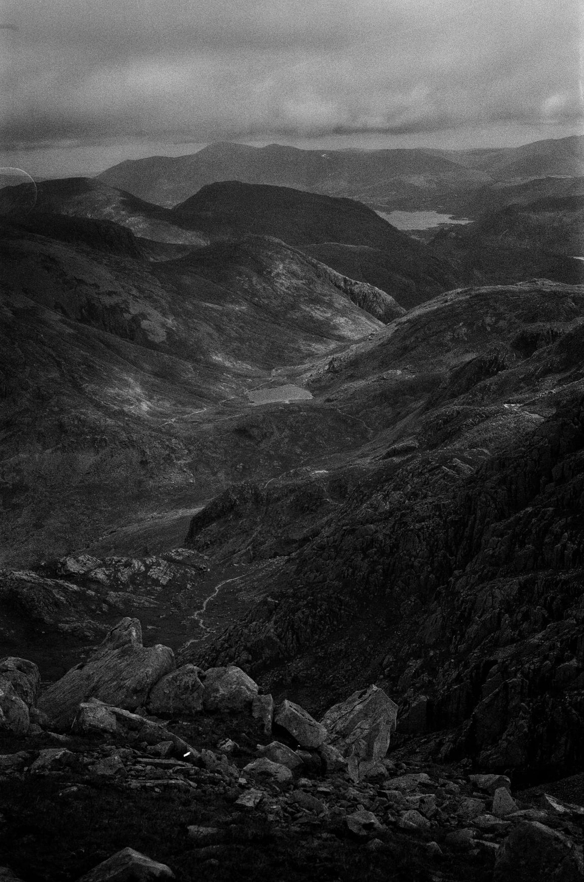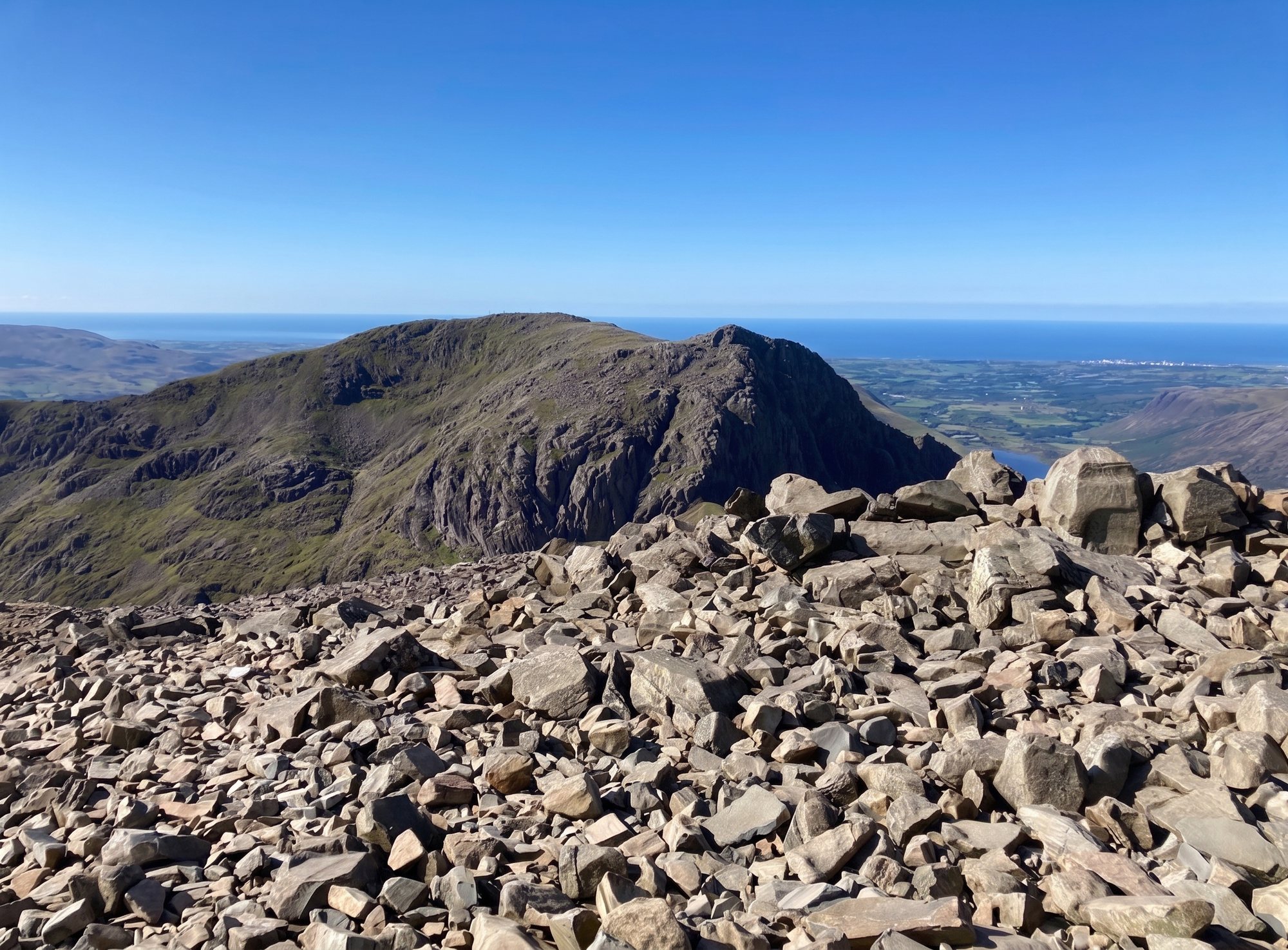
Scafell Pike in the Lake District
Southern Fells · England's highest mountain · 978 m

Scafell Pike

At 978 m, Scafell Pike is the highest ground in England — a magnificent, serious mountain that draws more first-timers than anywhere in the Lakes. Here are the routes easiest to hardest, honestly, and what the summit is really like.
978 m

Height · 3,209 ft

England's

highest mountain

~5.5–6 mi

Shortest route (Wasdale)

4–6 hrs

From Wasdale

England's highest mountain

978 metres — and harder than people expect

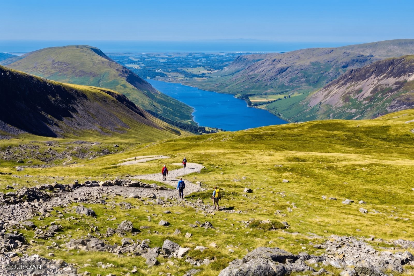
Scafell Pike is the highest mountain in England, at 978 m (3,209 ft), standing at the head of Wasdale among the wildest and most dramatic ground in the Lake District. It is the England leg of the National Three Peaks, and it draws more first-time hill walkers than anywhere else in the Lakes.

It is a walk, not a climb — there is no scrambling on the main routes. But it is a big, serious mountain, and it is honestly harder than many people expect: relentlessly steep, a long way from the road, and topped by a summit that is a chaos of boulders with no clear path across it.

The good news is that with the right weather, the right kit and a willingness to turn back, a fit walker can absolutely do it. The sections below give you the routes honestly — easiest to hardest — and tell you what the mountain is really like before you set off.

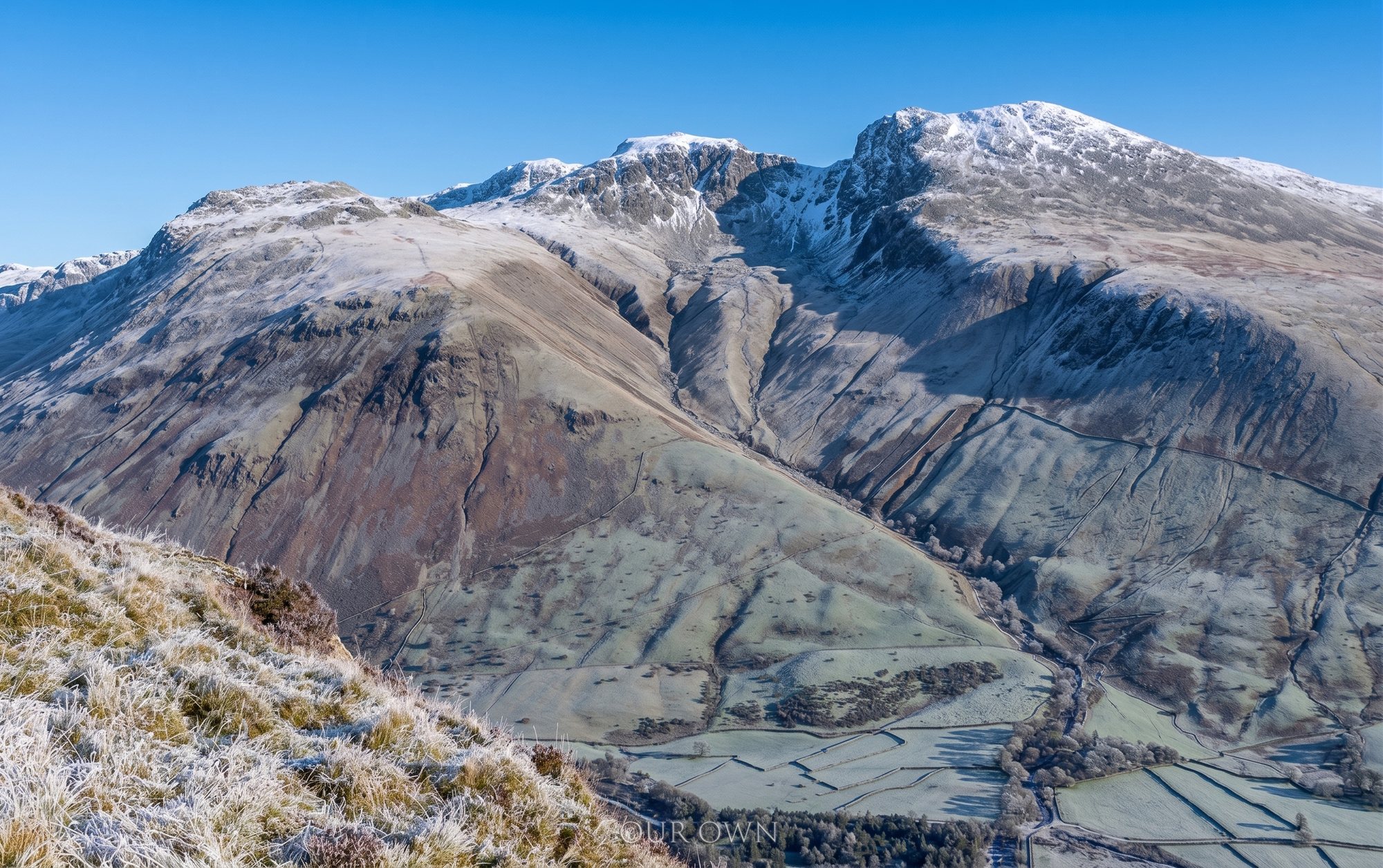
The snow-capped Scafell Pike massif rising above the Wasdale valley in winter
The Scafell Pike massif in winter, seen across the valley — England's highest ground. A photo by The Lakes Planner.

Read this first

Before you go — the honest safety picture

Scafell Pike is not dangerous in the way a scramble is dangerous — the ground is walkable throughout. What catches people out is weather, navigation and preparation, and the mountain-rescue teams here are called out again and again to walkers who are lost, benighted or exhausted rather than injured on hard ground.

The summit is a boulder field. The top is a wide, trackless jumble of rock with no clear path across it and several cairns that do not all mark the right way. In good visibility it is straightforward; in cloud, finding both the true summit and the correct line off it is genuinely difficult.

Piers Gill — the descent black spot toward Wasdale.

The single most important thing to know: walkers descending toward Wasdale in poor visibility repeatedly drift off line and into the ground above Piers Gill, a deep, steep-sided ravine that is a long-recognised accident black spot. Mountain rescue warns about it year after year.

The danger is navigational, not technical: in mist it is dangerously easy to follow the fall of the land into the wrong place. Take a compass bearing off the summit, trust it over your instinct and over boot-worn tracks, and do not descend blind. If you are unsure, wait for a clearing or turn back — turning back is always a valid summit.

Check the mountain forecast before you go — the Lake District Weatherline fell-top assessment covers the western fells — and carry, and be able to use, a map and compass. A phone is not a substitute.

The boulder-strewn summit ridge of Scafell Pike with the Cumbrian coast beyond
The trackless boulder-field summit — no clear path across it, and confusing in mist. A photo by The Lakes Planner.

The winnable question

The routes, easiest to hardest

1. From Wasdale — the shortest and most direct (the “tourist path”). The usual first-timer's route climbs from Wasdale Head via Lingmell Gill and Brown Tongue: roughly 5.5–6 miles round with about 900 m of ascent, 4–6 hours. It is relentless but non-technical, and it is the honest answer to “what is the easiest route up Scafell Pike?” — with the caveat that even the easiest way finishes across that boulder-field summit.

2. The Corridor Route from Seathwaite — the mountaineer's walk. Far finer and more gradual than the Wasdale path, from Borrowdale via Sty Head and the Corridor. It is longer and more serious, and it has its own dedicated guide — read the full Scafell Pike Corridor Route guide for the step-by-step, the parking and the Piers Gill warning.

3. The long routes — Langdale, Eskdale and via Esk Hause. Scafell Pike can also be reached on long, committing days from Langdale or Eskdale over Esk Hause and the high Southern Fells. These are big mountain expeditions for experienced walkers with good navigation — not first-timer routes, and not to be underestimated.

Timings

How long does it take?

From Wasdale, allow 4–6 hours for the round trip — less if you are fit and the weather is kind, more with stops, crowds on the path, or poor visibility slowing the summit navigation.

The Corridor Route from Seathwaite is a longer day at 5–7 hours. The long routes from Langdale or Eskdale are full days of 7–9 hours or more. Whatever the route, start early: being on the summit with hours of daylight in hand is the single best safety margin you can give yourself.

Logistics

Parking & getting there

Wasdale Head (for the shortest route) — the National Trust car park at Lake Head is pay and display, National Trust members free — check current charges. It fills extremely early on any fine weekend, and overflow parking on the verges is a genuine and growing local problem in this quiet valley. Arrive early, come midweek if you can, and park considerately.

Seathwaite (for the Corridor Route) — free roadside verge parking on the farm lane in Borrowdale, which gets chaotic on busy days; arrive very early and verify current arrangements before you travel.

Wasdale is remote and the roads in are narrow and slow — factor that into your day, and do not add to the pressure by parking badly.

Don't confuse the two

Scafell Pike vs Sca Fell

Scafell Pike has a near neighbour with an almost identical name: Sca Fell (964 m), the second-highest mountain in England, just to the south-west across a deep gap. They are two separate mountains, and the difference matters — the ground between them, around Mickledore and Broad Stand, includes serious climbing terrain that has caught out walkers who assumed they could simply cross from one to the other.

For the ordinary walker heading up England's highest, the one you want is Scafell Pike. Do not attempt to link it to Sca Fell unless you know exactly what Broad Stand involves — it is a rock climb, not a walkers' route.

How it compares

The Three Peaks & vs Snowdon

Scafell Pike is the England leg of the National Three Peaks (Ben Nevis, Scafell Pike and Snowdon). Of the three, it is widely reckoned the easiest to get lost on: Ben Nevis is bigger but better pathed, Snowdon has clear tracks and even a railway, while Scafell Pike's boulder-field summit and the Piers Gill descent make navigation the crux.

If you are doing the Three Peaks in a single day, please do not treat the Scafell Pike leg as a quick tick in the dark. Night ascents by tired, unprepared groups are exactly what fills the local mountain-rescue log, and they put real strain on Wasdale — parking, litter and call-outs. Give the mountain the time and respect it deserves.

Answered

Common questions

How long does it take to climb Scafell Pike?

From Wasdale — the shortest way — allow 4–6 hours for the round trip, around 5.5–6 miles with roughly 900 m of ascent. The Corridor Route from Seathwaite is longer, about 5–7 hours. These are moving-plus-stops estimates for a fit walker in good conditions; add time in poor weather, and remember the boulder-field summit slows everyone down.

Is Scafell Pike OK for beginners?

Yes, with honest conditions attached. It is a walk, not a climb, and thousands of first-time hill walkers reach the top every year. But it is England's highest mountain, the summit is a trackless boulder field, and the weather can turn fast — most mountain-rescue call-outs here are lost, exhausted or unprepared walkers, not accidents on hard ground. A fit beginner who picks good weather, takes proper kit and a map, and is willing to turn back will be fine. One who treats it as a stroll can get into serious trouble.

Why is Scafell Pike so hard?

Not because it is technical — there is no scrambling on the main routes. It is hard because it is relentlessly steep and long, because the summit is a chaos of boulders with no clear path and confusing cairns, and above all because navigation off the top in cloud is genuinely difficult. The mountain catches people out through weather and route-finding far more than through difficulty underfoot.

Which of the Three Peaks is hardest?

By the standard routes, Scafell Pike is widely considered the hardest of the National Three Peaks (Ben Nevis, Scafell Pike and Snowdon) to navigate — its summit boulder field and the notorious descent toward Wasdale in poor visibility trip up more people than the bigger but better-pathed Ben Nevis, or Snowdon with its railway and clear tracks. “Hardest” here means easiest to get lost on, not longest or steepest.

How do you pronounce Scafell Pike?

It is most commonly said “Scaw-fell Pike”. You will also hear “Scah-fell”. Both are used locally; the mountain and its slightly lower neighbour Sca Fell are spelled and pronounced very similarly, which adds to the confusion.

Where do you park for Scafell Pike?

For the shortest route, the National Trust car park at Wasdale Head (Lake Head) — pay and display, National Trust members free, check current charges. It fills extremely early on fine weekends and overflow parking is a real local pressure point, so arrive early or come midweek. For the Corridor Route, park at Seathwaite in Borrowdale (free roadside verge parking on the farm lane, chaotic on weekends — verify current arrangements and arrive very early).

Keep exploring

More guides & nearby