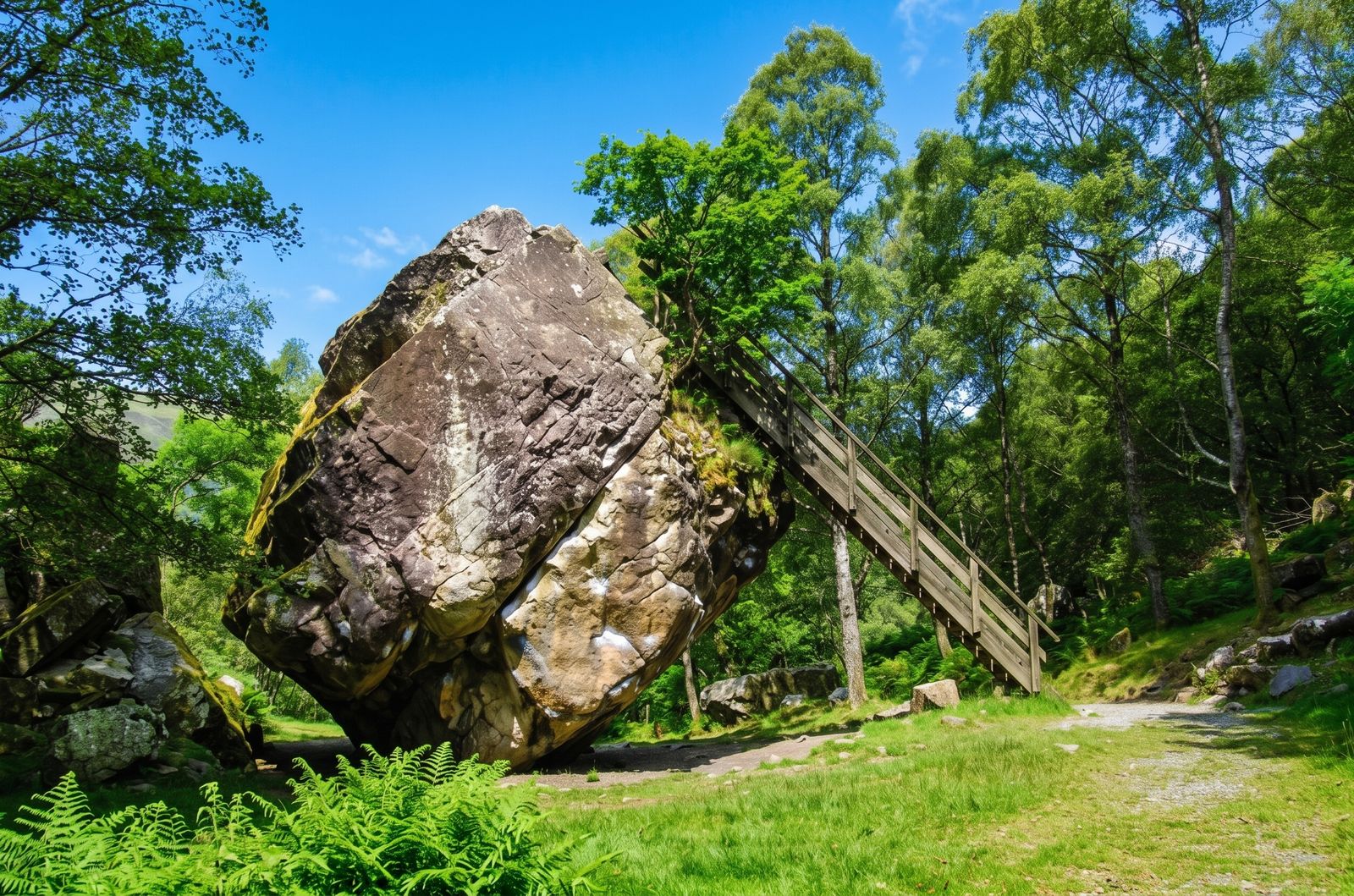
A vast, improbably balanced boulder standing in the Jaws of Borrowdale — with a ladder climbing to its flat top. It's one of the Lake District's oldest visitor curiosities, a short walk from the Bowder Stone car park, and a genuinely puzzling piece of geology.
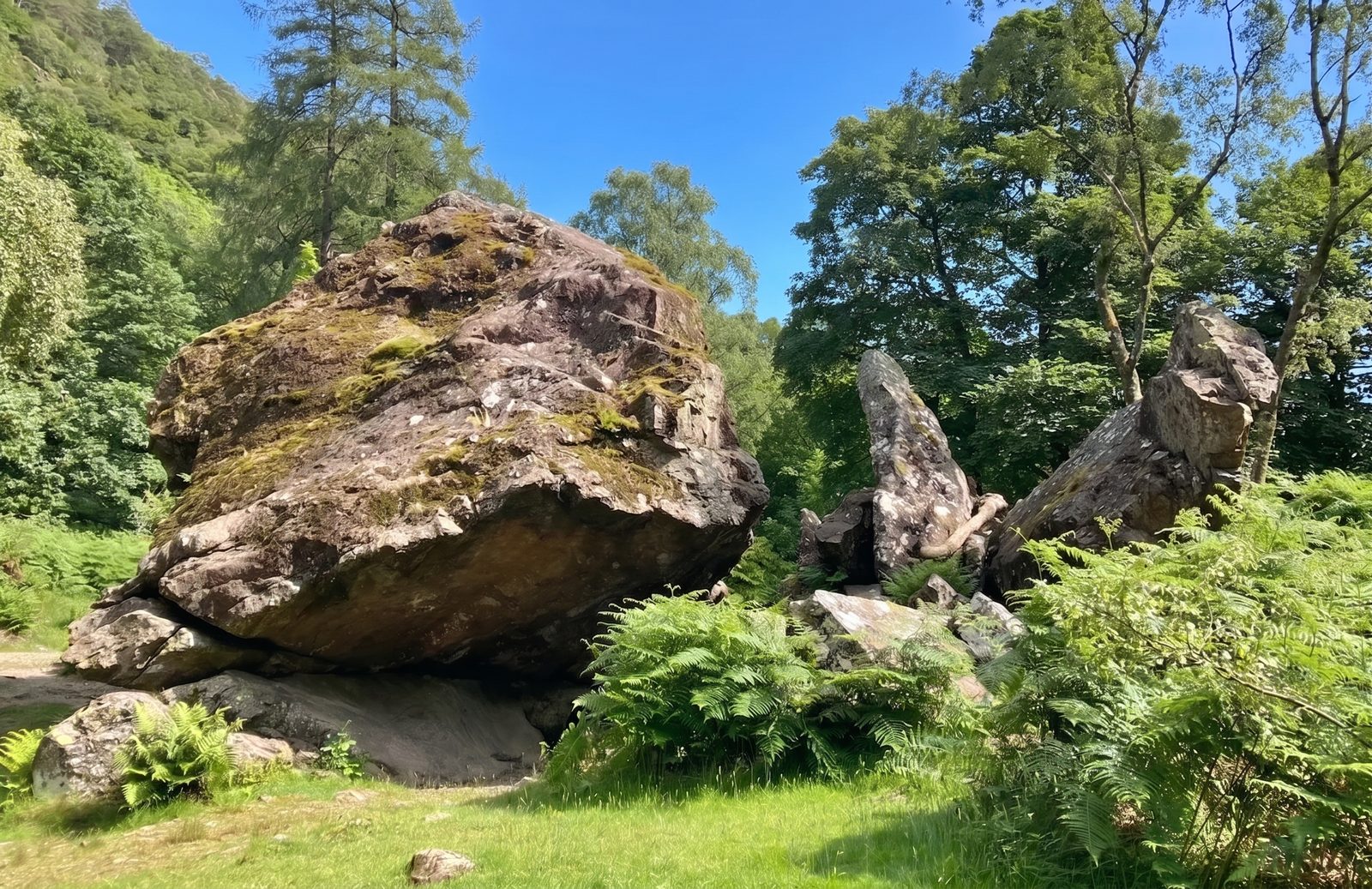
Where it stands
Balanced on its edge
The classic thing to do
Free-roaming access land
Borrowdale's famous boulder
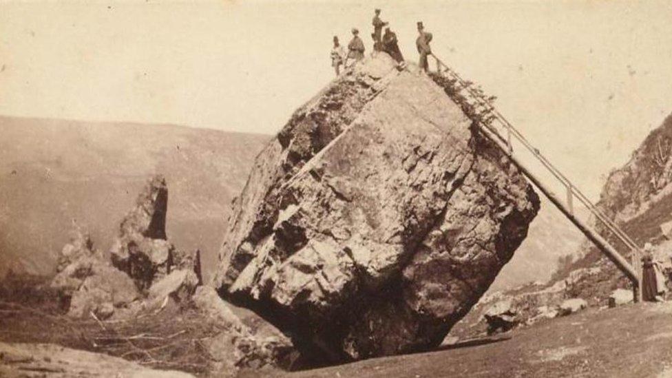
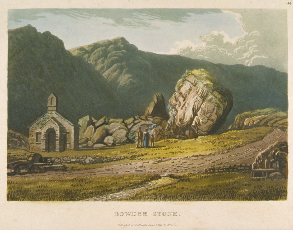
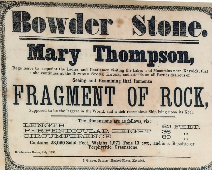
The Bowder Stone is an enormous boulder standing in the Jaws of Borrowdale, the narrow, wooded pinch of the valley between Grange and Rosthwaite. It rests on a surprisingly slender edge, looking as if a good push might topple it — which is exactly why it has drawn visitors for generations. A ladder climbs to its flat top, and it sits on National Trust land, reached by a short walk from the Bowder Stone car park. It's often quoted as weighing around 2,000 tons and standing about 30 feet (9 m) high — figures repeated for well over a century, so treat them as the traditional estimates rather than precise measurements.
However big it is, the appeal is simple: it's one of the Lake District's original tourist sights, an easy add-on to a Borrowdale day, and a good introduction to the drama of the valley on the way to Castle Crag and Rosthwaite. Below we cover the honest geology debate, the ladder and its history, and — for most people the practical question — where to park and the walk in.
The geology question
This is the question people most often ask, and the honest answer is: it's debated. For generations the Bowder Stone was described as a classic glacial erratic — a rock plucked up, carried along and dropped where it now sits by a glacier as the last Ice Age ended. It's the neat, familiar explanation, and it's the one you'll still read most often.
More recently that reading has been questioned. The argued alternative is that the stone didn't travel far at all: instead it fell as a rockfall from Bowder Crag, the craggy fellside directly above it, tumbling to rest in the valley below. Both stories are put forward by people who know the ground, and we're not going to pick a winner here — it's a genuinely open point rather than a settled fact, and part of what makes the stone interesting.
No — "Bowder" is simply this particular rock's name, not a category of stone. A boulder is just a large, detached lump of rock, and the Bowder Stone is an exceptionally big one. So there's nothing geologically special about the word: what makes this boulder famous is its sheer size, its balanced pose, and the debate above about how it got here.
The ladder & its history
Part of what makes the Bowder Stone more than just a big rock is that you can climb it. A ladder leads up to the flat top of the boulder, from where there's a view out along the valley — the reason it became a set-piece stop on the early tourist trail through Borrowdale.
The Bowder Stone has been a set-piece stop on the Borrowdale tourist trail for well over two centuries, and steps up to the top have been in place since at least 1890. The ladder is looked after by the National Trust, which cares for the stone today; it's normally in place, but as access to a feature like this can change, it's worth a quick check with the National Trust if you're travelling specially to climb it. As for the name, one story links it to the Norse god Baldr — a nice idea, though there's nothing solid to confirm it.
Getting there & parking
For most visitors the practical question is simply where to leave the car and how far the walk is. Here's what to know.
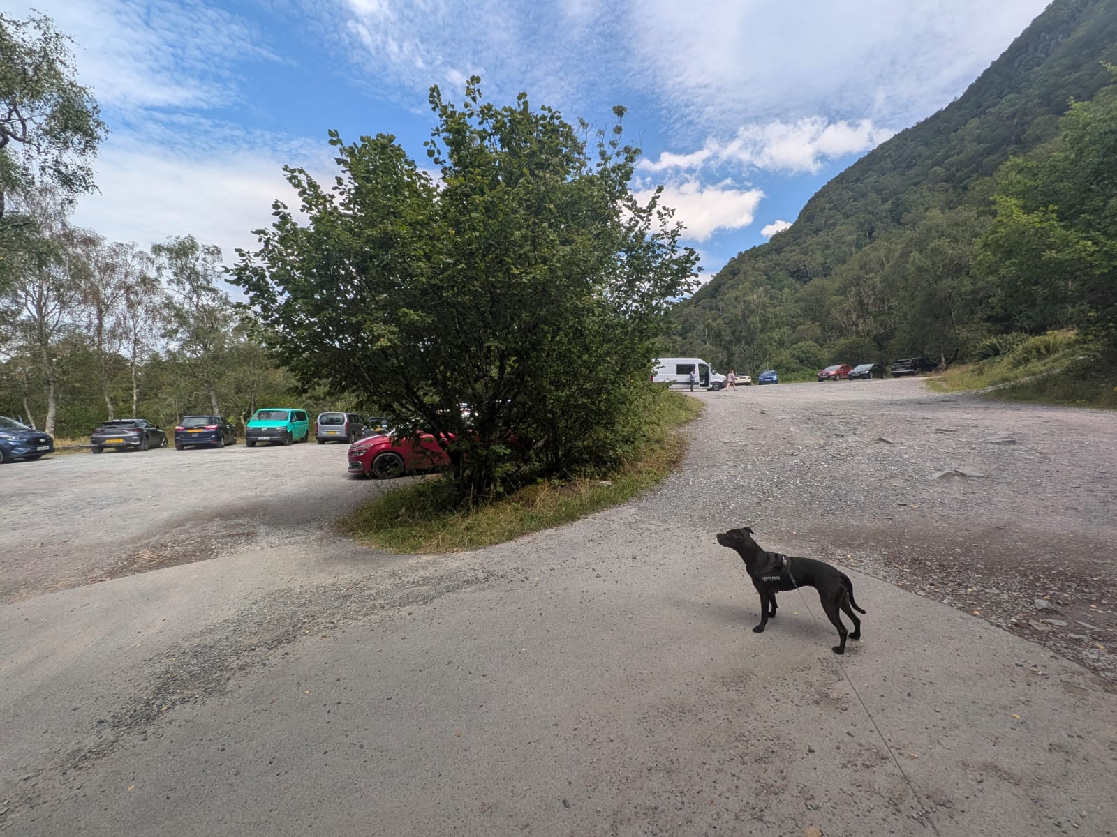
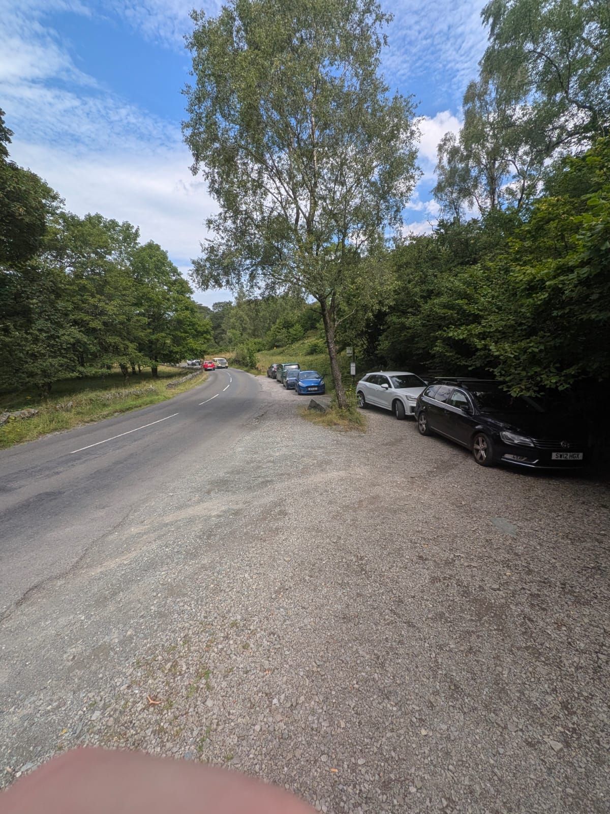
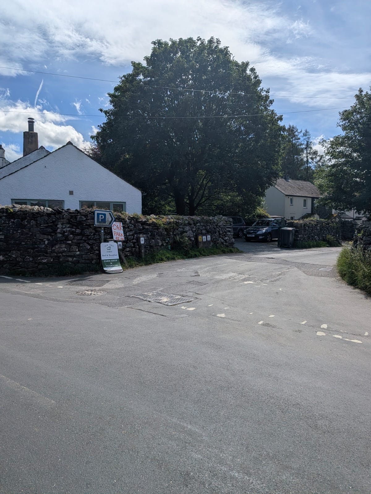
The nearest place to park is the National Trust Bowder Stone car park, just off the Borrowdale valley road (the B5289) between Grange and Rosthwaite. It's small and popular, so on fine days and at weekends it can fill early — arrive first thing, or keep a Keswick or wider Borrowdale parking back-up in mind.
There is also a layby on the road outside the car park — worth knowing about, because it's the sort of thing nobody tells you until you've already driven past it. It's at ///arrive.frostbite.tasteful.
The National Trust board at the Bowder Stone states that an all-day ticket bought there can be used in any National Trust car park in Borrowdale and Buttermere for the rest of that day — useful if you're moving on to Honister or over to Buttermere afterwards. We don't quote a price: check the current tariff with the National Trust.
From the car park it's a short walk on a track through the woods to reach the stone — an easy stroll rather than a hill walk, which is why the Bowder Stone works so well as a quick stop or a gentle add-on to a bigger Borrowdale day. It also sits right by the through-route towards Castle Crag and Rosthwaite, so it's easy to string together.
If you want more than a quick stop, the same car park is the start of a 5.72-mile circular down the valley to Rosthwaite and back along the river to Grange — walked, timed and photographed below.
Step by step · walked 8 August 2026
Most people see the Bowder Stone and drive on. The car park is also the start of a proper low-level circular: south down the valley road to Rosthwaite, then north along the River Derwent through the wooded gorge to Grange, and back up the road to the car park. Cave, abandoned quarry, packhorse bridge, river swimming — and three points where it's easy to go wrong, including the one fork most people get wrong.
Everything below is from walking it ourselves on 8 August 2026 — our GPS trace, our photographs, our what3words. Where we didn't verify something, it isn't here.
Distance
Moving time
Elapsed, with stops
Low level
Those are one walker's timed GPS figures from a single day, not a general estimate: we set off at 13:26 and were back at 16:32. The three hours included stopping for strawberries by the river and time taken over photographs. Allow around three hours if you're stopping, about two and a half if you walk it through.
Mile 1 — 27:29 · Mile 2 — 22:57 · Mile 3 — 32:54 · Mile 4 — 26:03 · Mile 5 — 23:53 · final 0.72 mi — 20:11
Start & finish
Bowder Stone car park, off the B5289
Direction we walked
Road south to Rosthwaite → river north to Grange → road back
Underfoot
Tarmac, farm track, good path — plus one loose slate section
"The path is excellent for most of the route — tarmac, farm track and good surfaced path. But through the slate and quarry section the surface is loose broken slate, and thin-soled trainers aren't up to it. I walked it in Adidas Sambas and my feet were sore by the end. Walking boots, or anything with a stiff sole and proper grip."
Start at the National Trust pay-and-display car park off the B5289. If it's full, there's a layby on the road outside it at ///arrive.frostbite.tasteful — see parking above for the all-day ticket arrangement.
Walk in to the stone itself and go up if you're going up. The ladder is metal, with open mesh treads and a handrail on both sides. ///infinite.utensil.lamenting
Immediately after the Bowder Stone the path forks. Stay straight. Do not take the right fork.
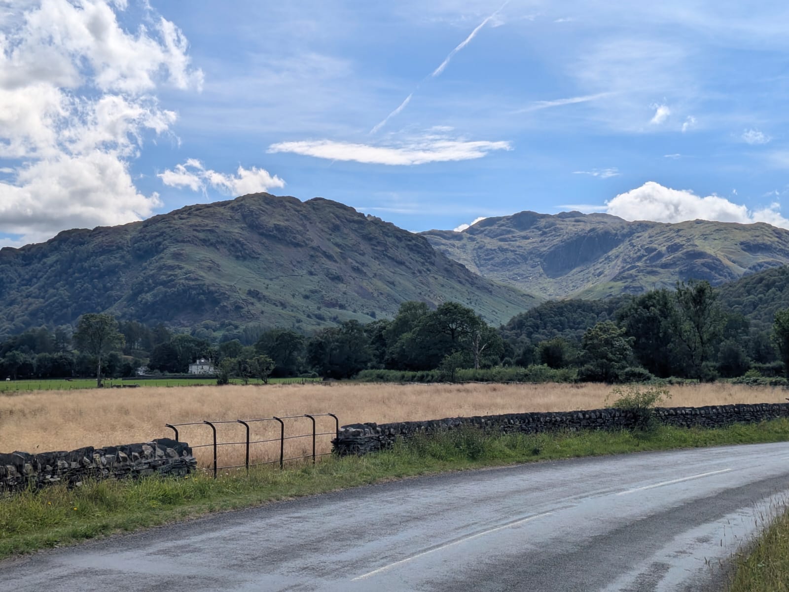
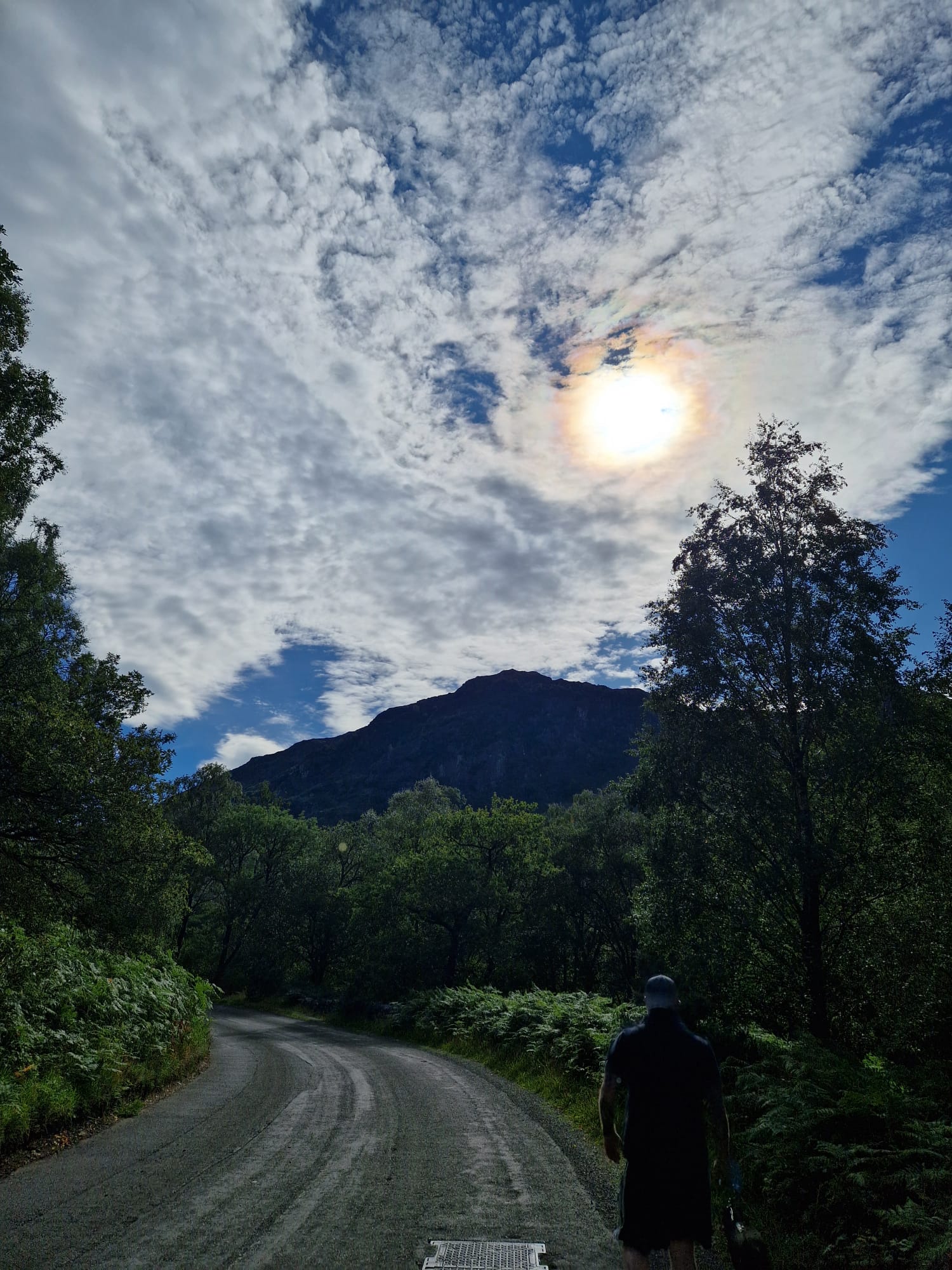
Roughly a mile of road walking south down the valley. It's the least interesting stretch of the day and the one bit where you're sharing space with cars — dogs on leads along here.

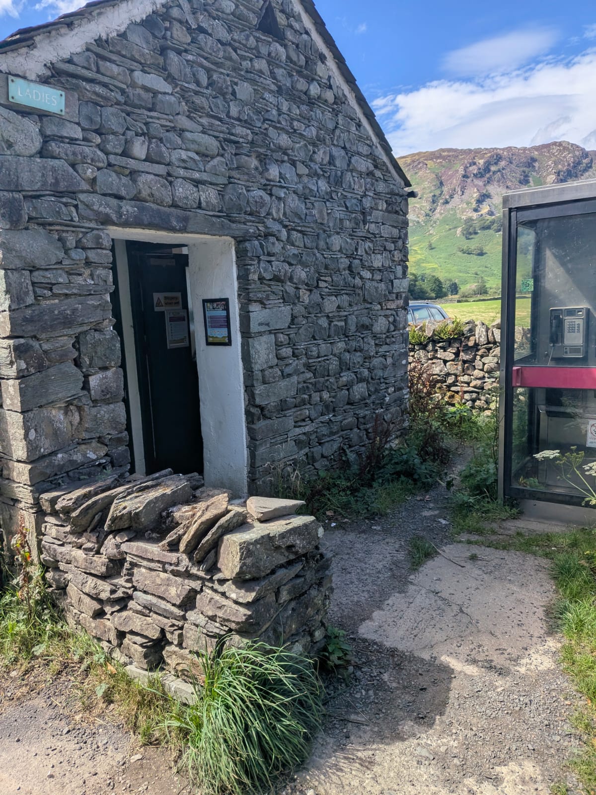
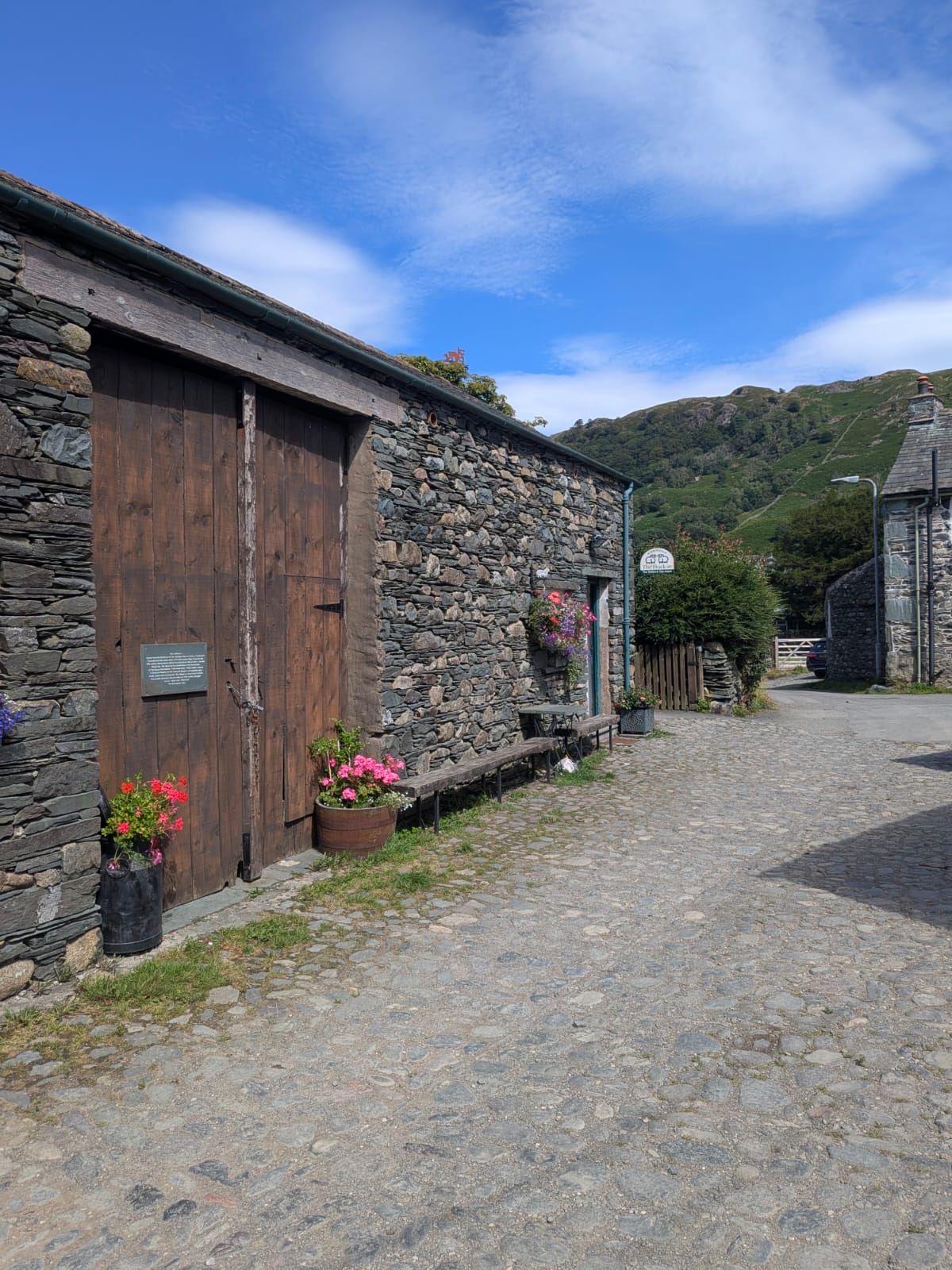
The one place on the route with facilities. Public toilets at ///encrusted.stopped.tidy. The Flock-In is on the cobbled lane, and there's The Walkers Café in the village too.


In Rosthwaite, take the right turn — it's easy to miss, and missing it takes you the wrong way.

River shingle underfoot on the way out of Rosthwaite.
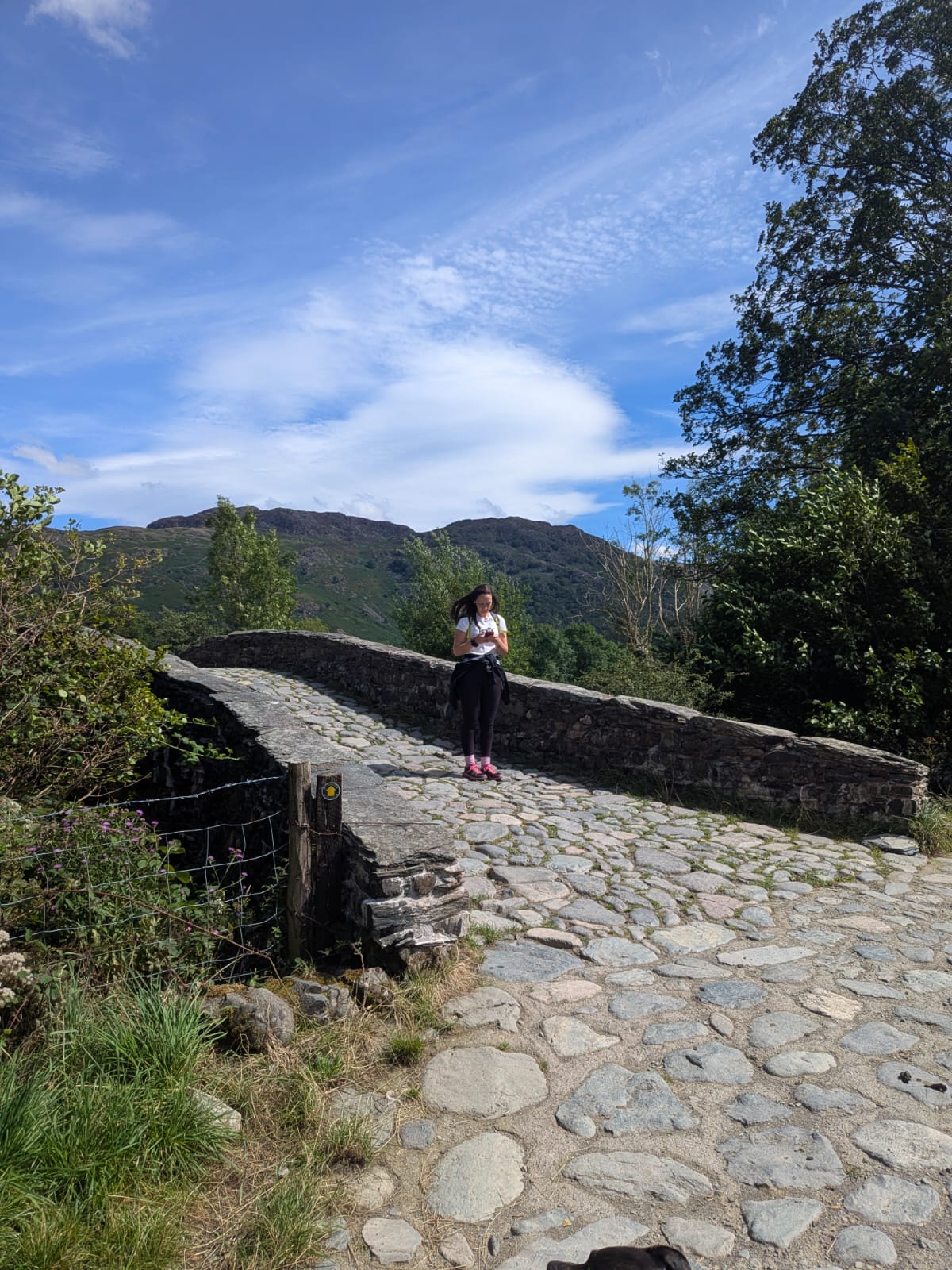
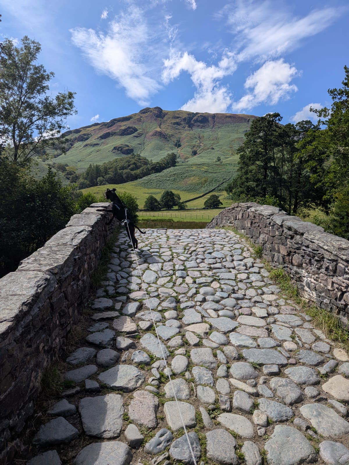
A cobbled packhorse bridge, with a waymarker post at the near end. This is where you swing north and start following the river back down the valley.


The surface changes here. This is the section the footwear note above is about.
Clear shallow water running over stones, stepping stones across, and a shingle bank to sit on. This is where we stopped for strawberries.
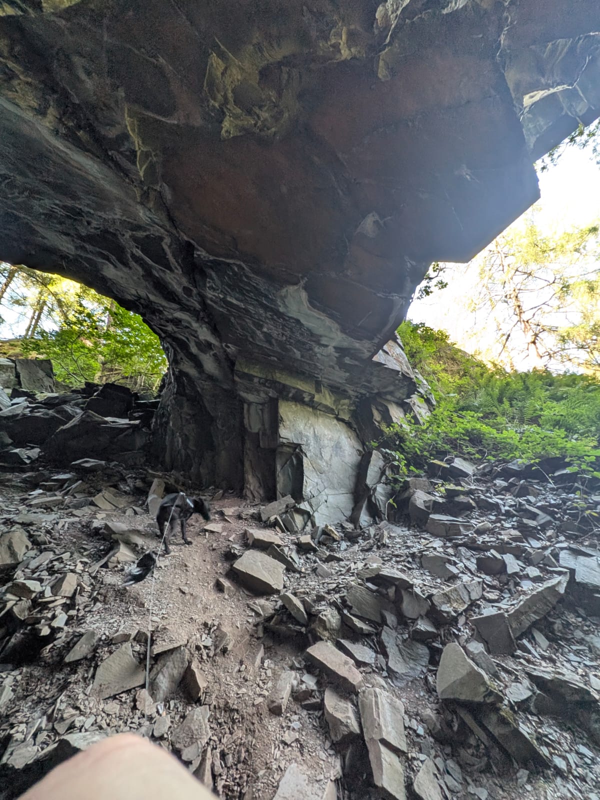
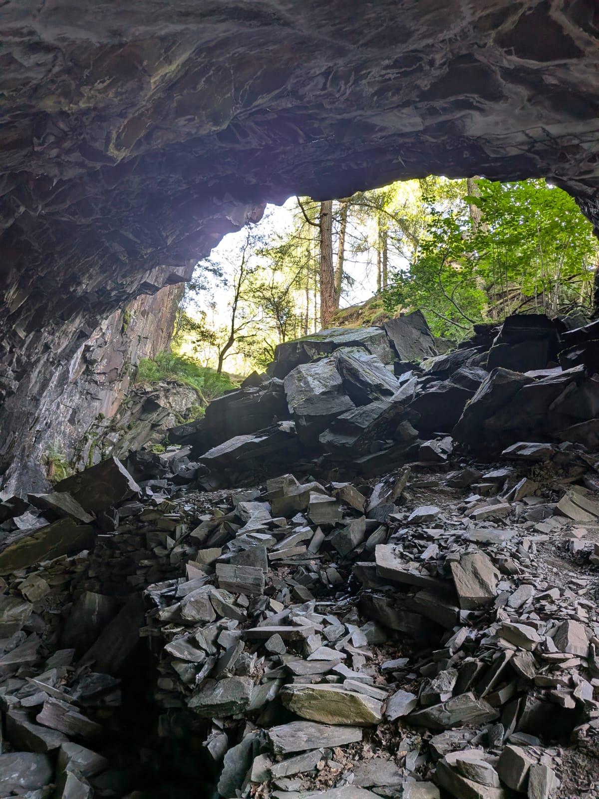
Small, walk-in, reached by a short path off the main route. Worth the detour. There is loose rock overhead — go in with that in mind, and don't take it as an invitation to go poking about at the back.
This is roughly where we lost phone signal.


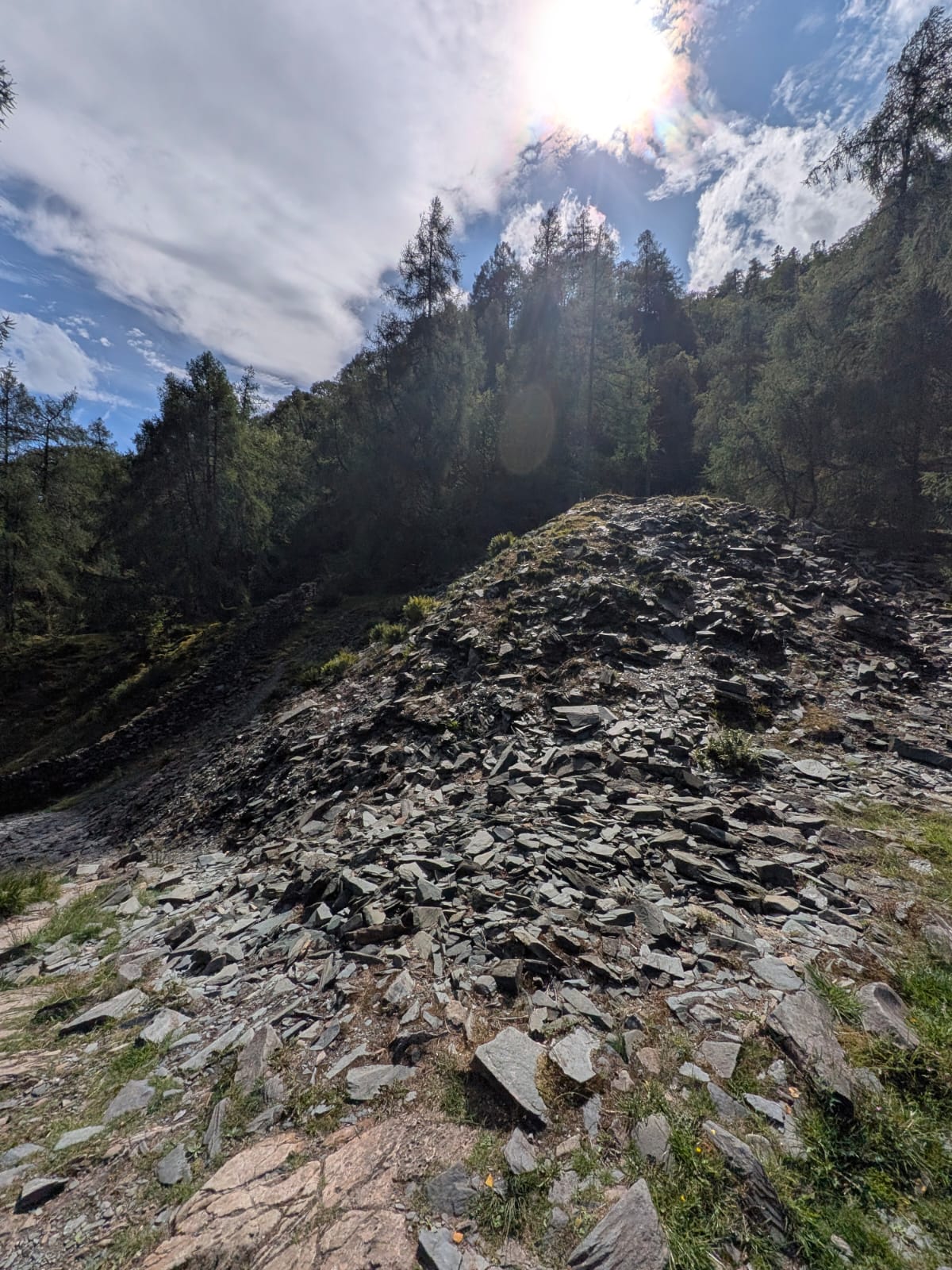
A worked-out slate quarry beside the path. Note where it is — you need it as a landmark for the next step.

Between the abandoned quarry and the second hole in the wall you'll reach a fork. Turn right — it doubles back on yourself, and your instinct will be to carry straight on. Don't. It's a two-way fork and both branches rejoin at the same place, but the right-hand one is the correct line. Keep right from there.
To place it on the ground: there is a hole in the wall before the quarry and another after it. The fork sits between the quarry and that second hole. Most write-ups say only "keep walking through the woods", which is exactly why people get this wrong.
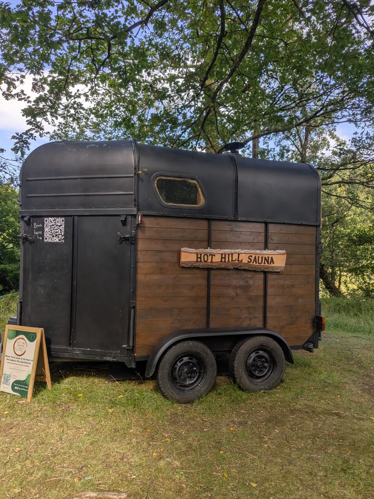
The river opens out here into a shingle beach, with paddleboards and swimmers in the water. Beside this stretch sits Hot Hill Sauna — a converted horsebox, wood-fired, running shared and private sessions. Check with them directly for sessions and what they cost.

The path brings you out at Grange, where we stopped for a drink at the Grange Café (Grange View, CA12 5XA — cash tea-room, usually open from mid-morning). From there it's the road back up the valley to the Bowder Stone car park to close the loop.

Cass, our lurcher, walked the whole route. The one thing to think about is the ladder up the Bowder Stone: the treads are open mesh, and while she managed it fine, that's worth knowing if your dog is less confident — or if you're not keen on heights yourself. Leads on for the tarmac mile down to Rosthwaite.
This is a description of a walk we did, not turn-by-turn navigation. Carry OS Explorer OL4, and download your map before you set off — signal drops around the caves.
Beyond the ladder, the Bowder Stone has a long history as a bouldering site — its faces are among the best-known lumps of rock in the valley for climbers, and it's been scrambled over for as long as people have visited. We flag that heritage rather than instruct it: bouldering carries real risk, and this page isn't a climbing guide. If you want to climb the faces, go with the right skills, a pad and a spotter, and treat the National Trust's guidance for the site as the authority.
Common questions
Keep exploring
The whole valley — where the Bowder Stone fits with Grange, Rosthwaite and the rest.
The little Wainwright next door — the walk passes close to the Bowder Stone.
The nearest town — where to stay, eat and start a Borrowdale day out.
More easy strolls and bigger days out across the National Park.