Pooley Bridge Walks in the Lake District
Ullswater · At the foot of the lake

Pooley Bridge Walks

Pooley Bridge sits at the quiet northern foot of Ullswater — a perfect base for lake-shore strolls, a short boat-assisted classic to Howtown, a family hill-fort loop, and open moorland walks to an ancient stone circle.

Written and walked by Peter A Cumbrian family guide, written in Penrith
7

Hand-picked walks

Ullswater

At the foot of the lake

Steamer

Boat-back options

Easy–moderate

For most walks

At the foot of Ullswater

Walks from Pooley Bridge

Pooley Bridge sits at the quiet northern foot of Ullswater, where the lake narrows to the River Eamont — a small, welcoming village that makes an ideal walking base away from the busier Glenridding end.

From here you can stroll the lake shore, walk the classic shoreline leg to Howtown and ride an Ullswater Steamer back, loop the wooded hill-fort of Dunmallard right on the doorstep, or head up onto the open moor to an ancient stone circle. Below is our hand-picked pick of the best, with honest distances, parking and difficulty for each.

Good to know

One useful local detail for planning a meal: 1863 is a separate restaurant about 50 yards from the Pooley Bridge Inn — not inside it — so book the one you actually mean.

The pick of the walks

Seven walks from Pooley Bridge

From a flat lakeside amble to a boat-assisted classic, an ancient stone circle on the moor and the walk in to a wild-swimming crag — here are the walks worth doing from the village.

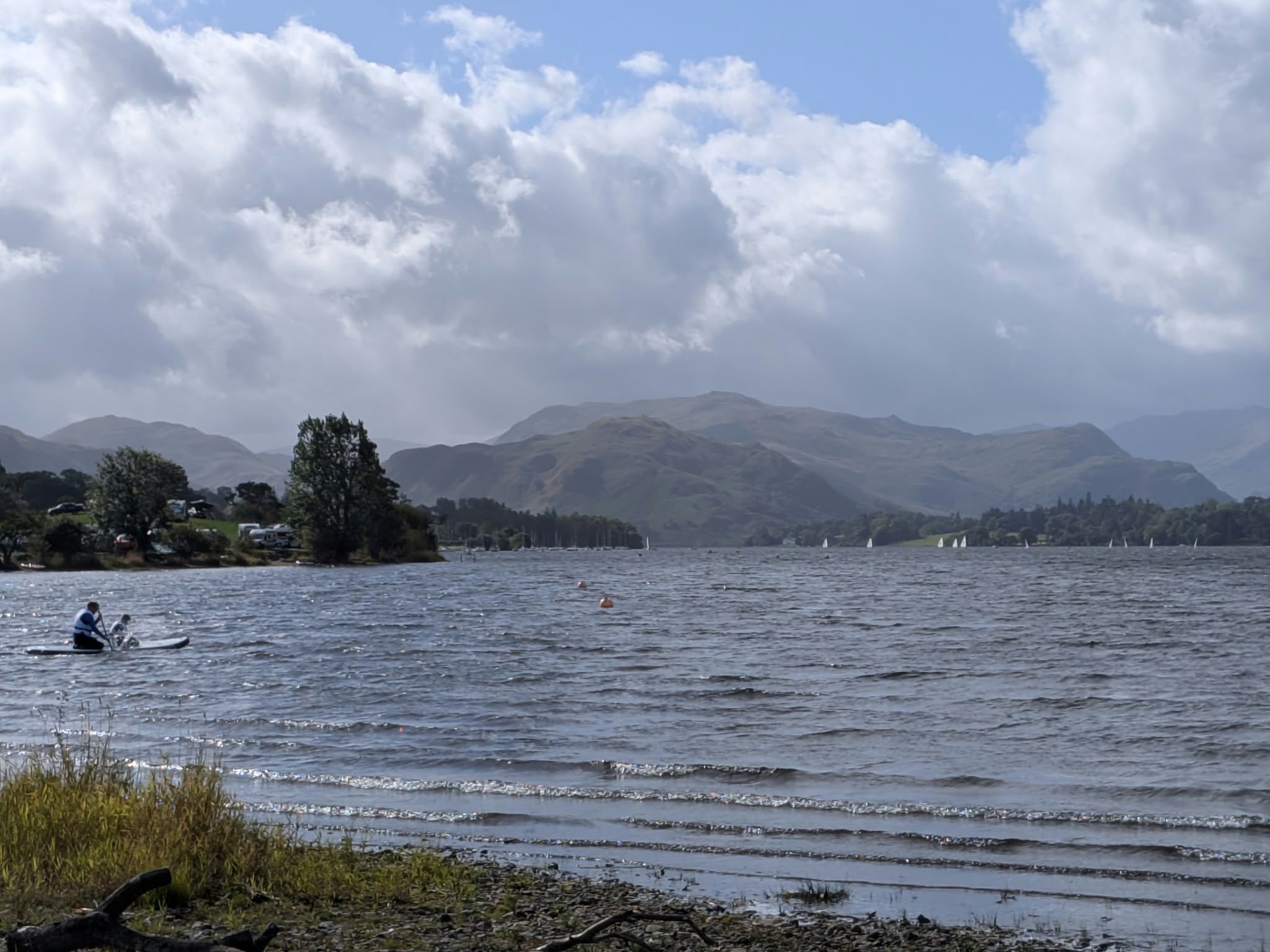
Ullswater and the fells from the shore path near Pooley Bridge

Pooley Bridge circular walk

Easy

2.6 mi (4.2 km) · ~1 hr walking · virtually flat

A flat loop along the Ullswater shore into Pooley Bridge and back down the Howtown road, with the village halfway round for a stop. Start and finish at the Waterside campsite car park, entrance ///risk.laces.forgiven — the village's own car parks are two hours in peak season, and the loop plus a stop won't fit. Read the full Pooley Bridge circular walk guide for the route with photos and the Park Foot dead end to avoid.

Hallin Fell above Ullswater

Hallin Fell

Easy

~1.5 mi · 30–45 min up · easy

The best view-for-effort on Ullswater, across the lake above Howtown — a short grassy pull to a huge summit obelisk. Read the full Hallin Fell guide. Nearest pubs by road are in Pooley Bridge (the Pooley Bridge Inn, the Sun Inn and the Crown); the loveliest approach is the Steamer to Howtown. The same church car park serves the Kailpot Crag walk below — the natural second walk from the Hause.

The summit of Hallin Fell
On the summit of Hallin Fell.

Kailpot Crag from Martindale

Easy

2.1 mi round trip · 459 ft / 140 m · ~1 hr · easy, with a crag edge

The walk in to Ullswater's best-known wild-swimming crag on the Howtown shore, from the same church car park as Hallin Fell. It is about a mile each way — not the three-quarters usually quoted — downhill out and uphill back. Step-by-step directions with photos below. Nearest pubs by road are in Pooley Bridge; Glenridding only if you arrive by Steamer. Dogs on leads — a signed local rule.

The Ullswater Way footpath beside the lake

Pooley Bridge to Howtown

Moderate

~4 mi one way · 2–3 hrs · easy–moderate

The classic Ullswater shoreline walk — the northern leg of the Ullswater Way along the eastern shore to Howtown pier, with an Ullswater Steamer back to finish. Check current timetables and fares, and the last sailing, before you set off. See the Ullswater Way for the full circuit.

Dunmallard Hill

Easy

~1.5 mi · under 1 hr · easy

The wooded knoll just across the new bridge from the village — a short, shaded circular through the trees with partial lake glimpses and an Iron Age hill-fort on top. Family- and buggy-friendly on the lower paths; a National Park pay-and-display car park sits right by the start (check current charges).

Heughscar Hill & The Cockpit

Moderate

~5–6 mi · 2–3 hrs · moderate

The open-moor option: up onto Askham Fell along the line of a Roman road to Heughscar Hill and The Cockpit, an ancient stone circle on Moor Divock. Big skies and a real sense of space, with far fewer people than the lake shore. Boggy in places — take a map.

Jetty on Ullswater near Pooley Bridge

Lakeside & family stroll

Easy

short · flat · easy

The gentlest taste of Ullswater — an easy, flat walk from the village down to the foot of the lake and along the shore, with the water opening out ahead. Perfect for young families and anyone after a short leg-stretch, and it links straight into the longer Howtown walk if you want more. It is the short out-and-back version of the circular above.

Walked and measured

Kailpot Crag from St Peter's Church, Martindale

Visited Monday 14 September 2026 · GPS-tracked

Kailpot Crag is the wild-swimming rock on Ullswater's Howtown shore — a tilted slab with grass on top and deep water straight off the edge. The distance you will read everywhere is 0.75 miles each way. It is not. I walked it with a GPS track running and it is about 1.05 miles each way, 2.1 miles round trip, with 459 ft (140 m) of climbing — nearly all of it on the way back, because the route is downhill out and uphill home. Allow an hour with stops. It is not to be confused with Kail Pot on the River Esk in Eskdale — same name, opposite side of the national park.

Distance

2.1 mi round trip

Ascent

459 ft / 140 m · on the return

Time

~1 hour

Dogs

On leads — signed local rule
The route, step by step

  1. 1

    Park at St Peter's Church, Martindale

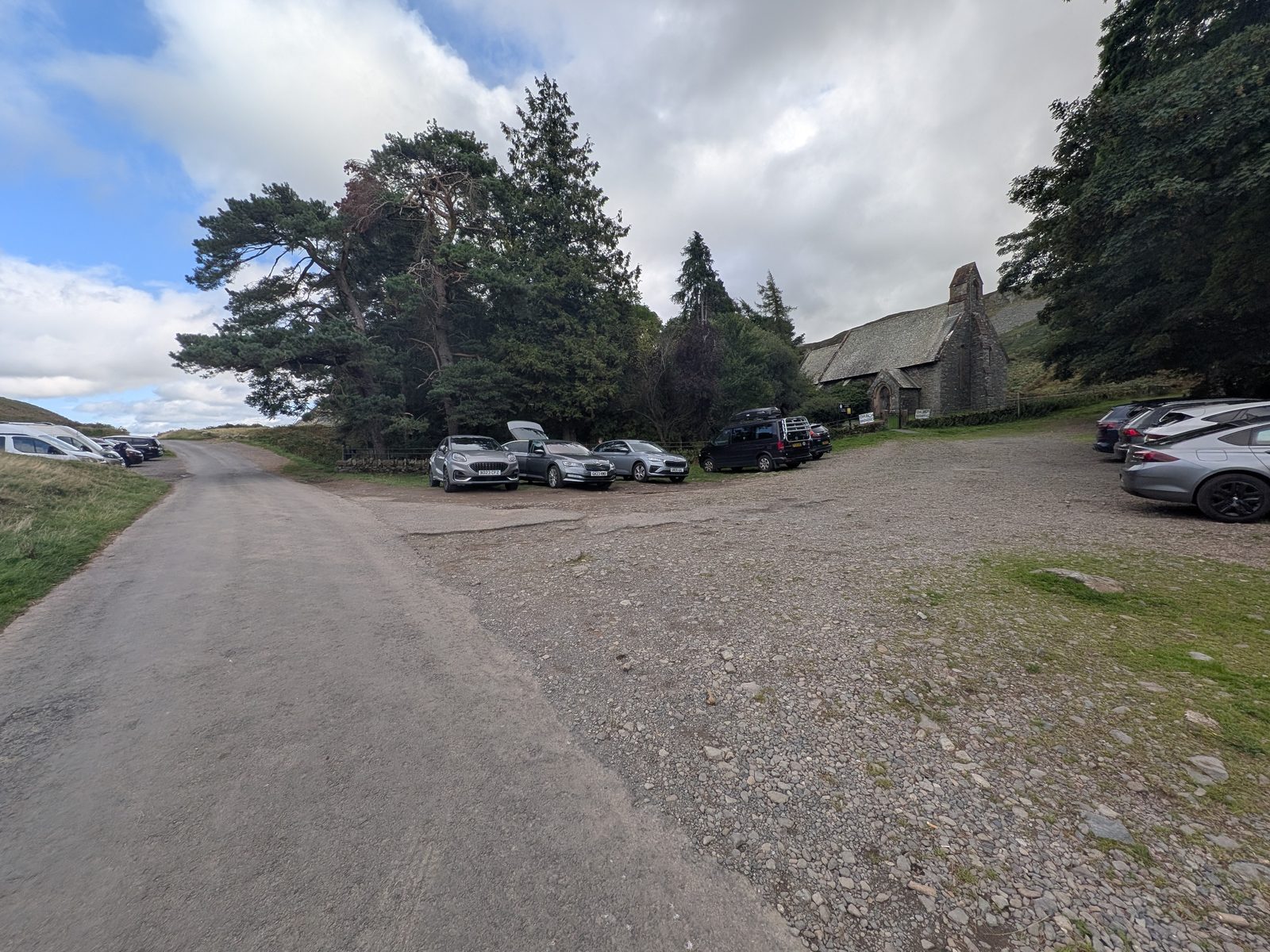
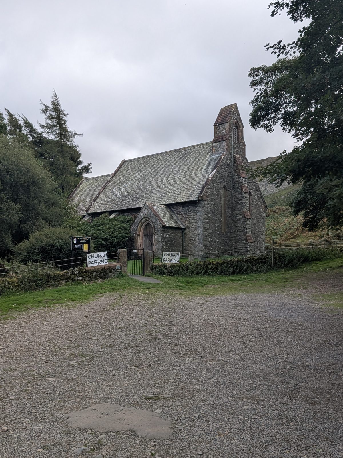
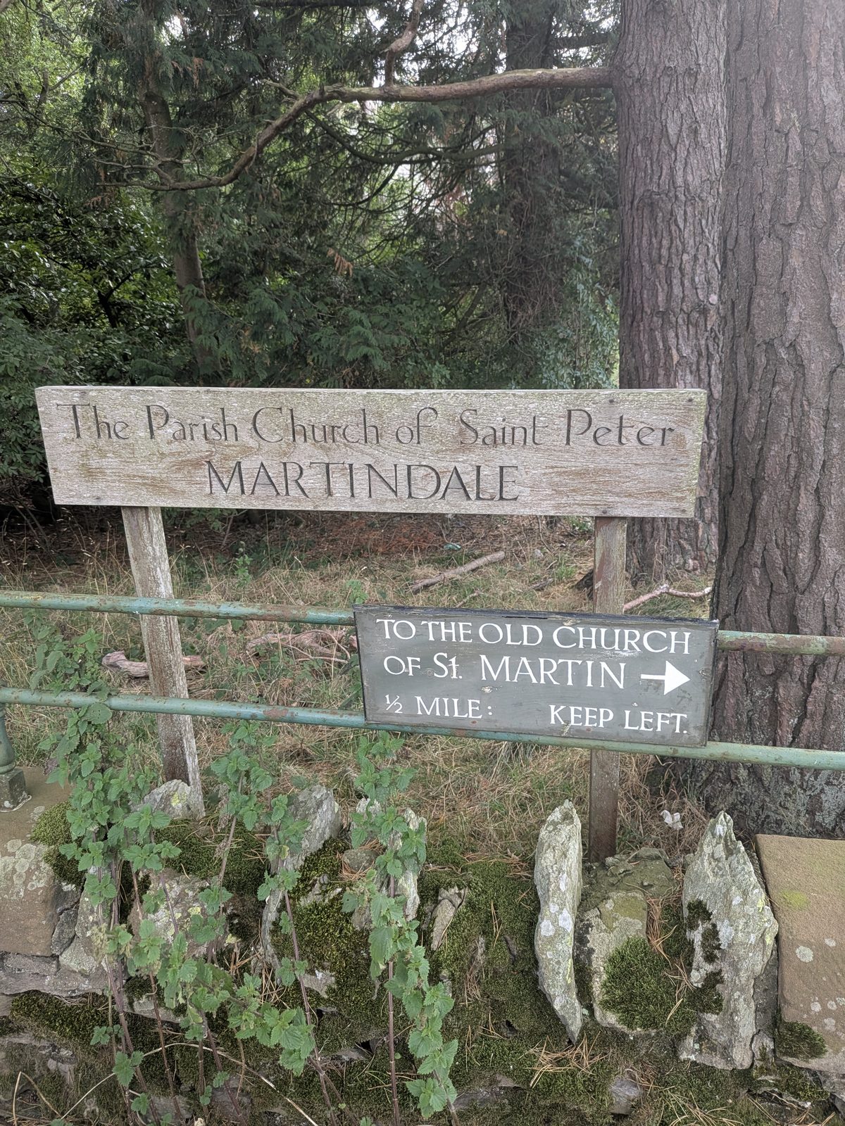
    The church at the top of the Hause — the sign on the gate reads The Parish Church of Saint Peter, Martindale. Room for 30–40 cars on the gravel either side of the road at ///admits.camcorder.molars. Two hand-painted CHURCH PARKING boards stand at the gate: this is church ground, not a public car park, and there was no charge and no honesty box on the day. If it is full, Waterside House campsite back towards Pooley Bridge offers signed parking — it is in the field on the left; the clearly signed private drive on the right is not it. This is the same car park as Hallin Fell.

    Gravel parking areas either side of the road at the top of the Hause, cars parked on both sides, St Peter's Church to the right
    The parking at the top of the Hause, church to the right — 30–40 cars across the gravel.
    St Peter's Church, Martindale, from the parking area, with two hand-painted CHURCH PARKING boards at the gate
    St Peter's Church and the two CHURCH PARKING boards at the gate.
  2. 2

    Down the road, then the "Lakeshore ½ mile" fingerpost

    From the church walk back down the road towards Howtown. About 50 yards below the church a track forks left, with a public footpath sign reading Lakeshore ½ mile. Take it. That half mile is to the shore at the foot of a private drive — it is not the distance to the crag, which is roughly twice as far, and it is almost certainly where the "0.75 miles" figure came from. (The board by the church pointing to St Martin's Old Church is a different sign and nothing to do with this walk.)

  3. 3

    The gate — do not go through it

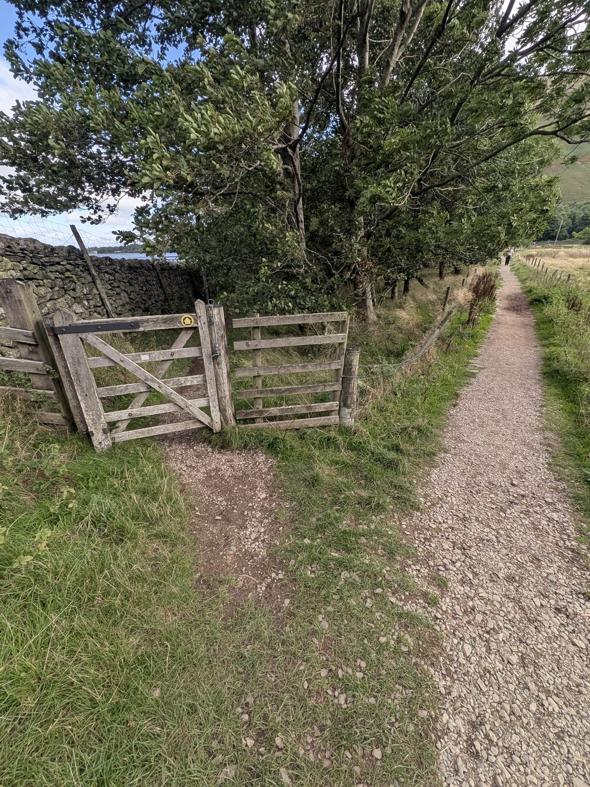
    The track drops to a wooden five-bar gate standing open in the wall on your left, with a yellow waymark disc on the post. Through it is a private drive down to the shore, and at the bottom you cannot turn left along the water. Stay on the main gravel path, which carries straight on to the right of the gate, running along the wall.

    An open wooden five-bar gate set in a stone wall with a yellow waymark disc on the post, the main gravel path continuing to the right of it
    The gate in the wall. The route is the path running on to the right of it, not through it.
  4. 4

    The second fork — left for the crag, right for the shore

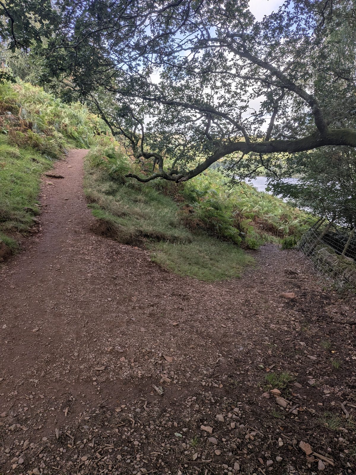
    A little further on the path splits again, and both branches have something to offer. The left, which climbs, is the way to the crag. The right drops to the water's edge, where there are places to sit and a couple of benches — if someone in the party is not swimming, or you have small children, that is the better half of the walk for them. Meet back at the fork.

    A path splitting in two in bracken above Ullswater, one branch climbing to the left, the other dropping to the right
    The second fork. Left and uphill for the crag; right and down for the shore and the benches.
  5. 5

    Through the bracken above the lake

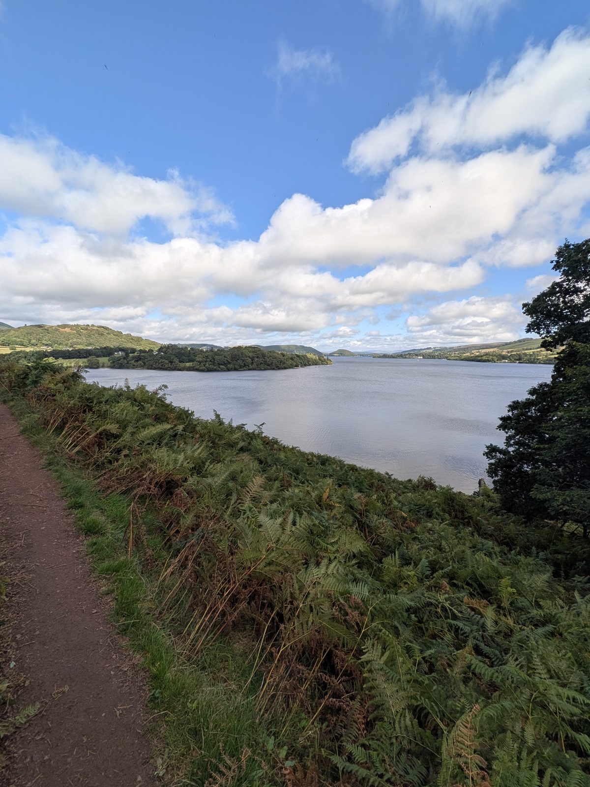
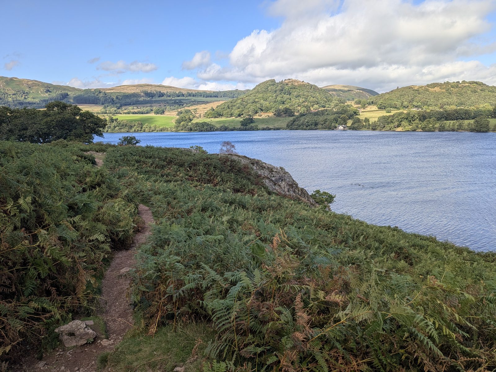
    From here the path cannot be mistaken. It runs on through bracken with the lake below you and the view opening down towards Pooley Bridge, until the crag appears ahead.

    A narrow path through bracken above Ullswater, the lake stretching away below
    The path above the shore, the lake running away towards Pooley Bridge.
    The path through bracken with Kailpot Crag ahead and fells across the water
    The crag comes into view ahead, fells across the water.
  6. 6

    Kailpot Crag

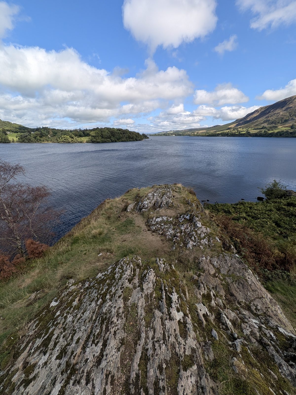
    A tilted rock promontory with grass on top and Ullswater on three sides — I stood on it at ///retract.octagonal.tinkle. The water off the edge is deep. Then turn round: the way back is the same path, and the 280 ft climb from the shore to the church is the only real effort of the day — plan for it if you are carrying swim gear, a dog or children.

    Kailpot Crag, a tilted rock promontory with grass on top, dropping into the water of Ullswater with the lake beyond
    Kailpot Crag, 14 September 2026.

Before you get in, or near the edge

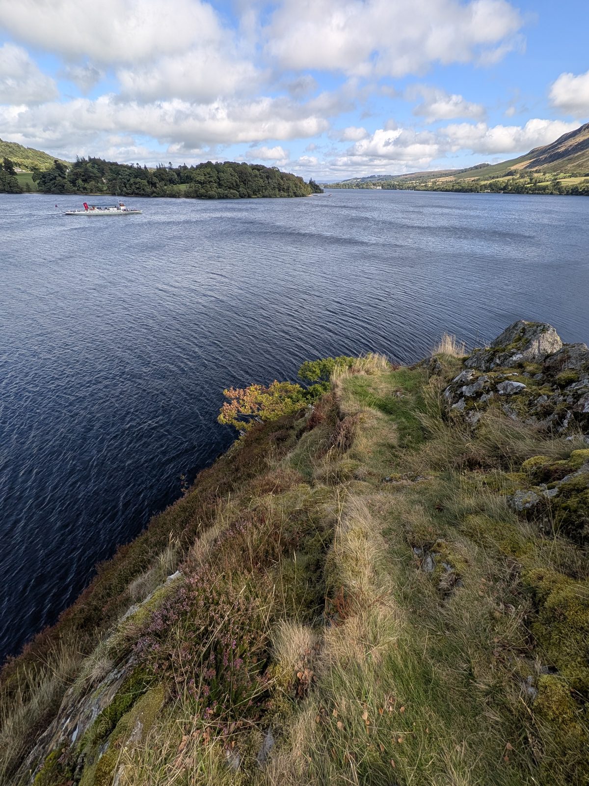
  • The edge. Grass runs right to the lip of the slab and the ground drops straight into deep water. In the wet, and through winter, that grass is treacherous. Keep back from it.
  • The Steamers pass close in. Two were on the water while I was there, one directly off the crag. Swimmers stay well clear of the boat lane — see the Ullswater Steamers for where they run.
  • Cold water. Ullswater is cold year round, and deep here. The usual rules on the wild swimming page apply: get in slowly, never jump in cold, never swim alone.
  • The return is the climb. Roughly 280 ft back up to the church.
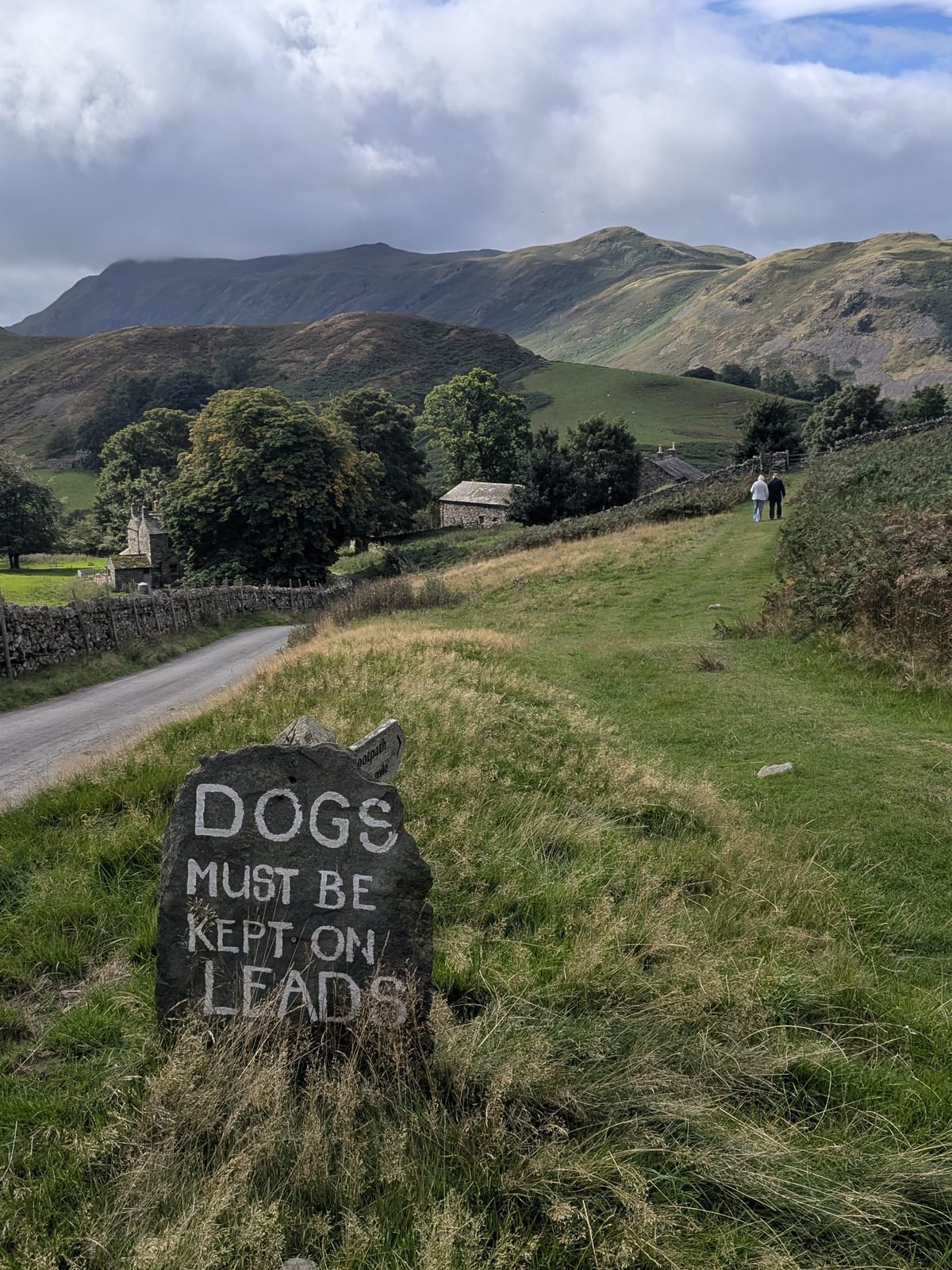
  • Dogs must be kept on leads — painted on a slate marker at the church end. A local rule, not advice.
Steep grass and rock at the edge of Kailpot Crag dropping straight into deep water, an Ullswater Steamer on the lake beyond
From the top of the crag: grass, then rock, then deep water — a Steamer passing beyond.
DOGS MUST BE KEPT ON LEADS painted on a slate boulder, with the Martindale valley and fells behind
The slate marker at the church end. It means it.

Two churches, one car park

The board by St Peter's pointing to St Martin's Old Church, ½ mile is worth following if you have time, though it is nothing to do with the crag walk. St Martin's is the original Martindale church, half a mile further up the valley: there has been a place of worship on the site since at least 1220, the present building is late 16th century, and the yew in the churchyard is thought to be around 1,300 years old. St Peter's was built as its replacement and consecrated on 6 January 1882 — and on that same day a storm brought down the Old Church's roof. It was repaired within the year, and both churches still stand. St Martin's holds occasional services, so check before visiting.

The sign for The Parish Church of Saint Peter, Martindale, with a direction board beneath it pointing to St Martin's Old Church half a mile away
The church sign, and below it the board to St Martin's Old Church — a different walk.

Answered

Common questions

What are the best walks from Pooley Bridge village?

For the classic day, walk the shoreline leg to Howtown and take the Ullswater Steamer back. For a short family outing, the wooded loop over Dunmallard Hill and its hill-fort is right on the doorstep across the bridge. For a bigger view, cross the lake to climb Hallin Fell, or head up onto the open moor of Askham Fell to Heughscar Hill and the Cockpit stone circle.

Can you walk from Pooley Bridge to Howtown and get the boat back?

Yes — it is one of the best easy days on Ullswater. Walk the eastern shore path from Pooley Bridge to Howtown pier, then catch the Ullswater Steamer back to Pooley Bridge (or on to Glenridding). Check current Ullswater Steamers timetables and fares, and note the last sailing time before you set off so you are not left walking back.

Where do you park in Pooley Bridge?

There is a Lake District National Park pay-and-display car park near the village centre by the River Eamont (check current charges), plus other village parking that fills early on fine days. For Dunmallard, the car park sits just across the bridge; for Hallin Fell, drive round to the Hause at Martindale or take the Steamer to Howtown.

Is there an easy lakeside walk from Pooley Bridge?

Yes — the gentle stroll down to the foot of Ullswater and along the shore is flat, short and family-friendly, with the lake opening out ahead of you. It is the easiest way to get a taste of Ullswater straight from the village, and it links naturally into the longer walk toward Howtown for anyone who wants to go further.

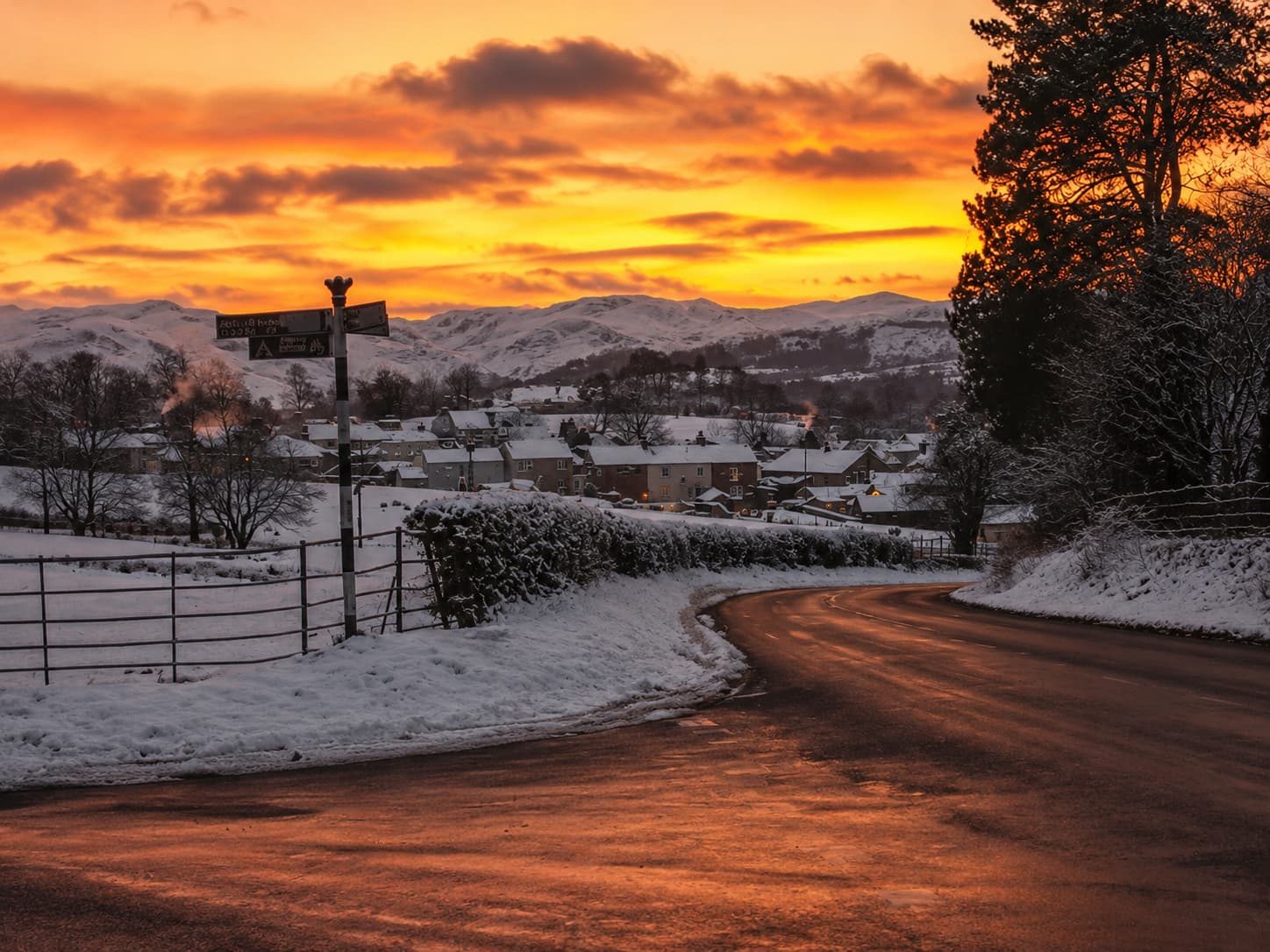
Pooley Bridge village under snow
Pooley Bridge under snow — the walks here work in every season.

Keep exploring

More guides & nearby