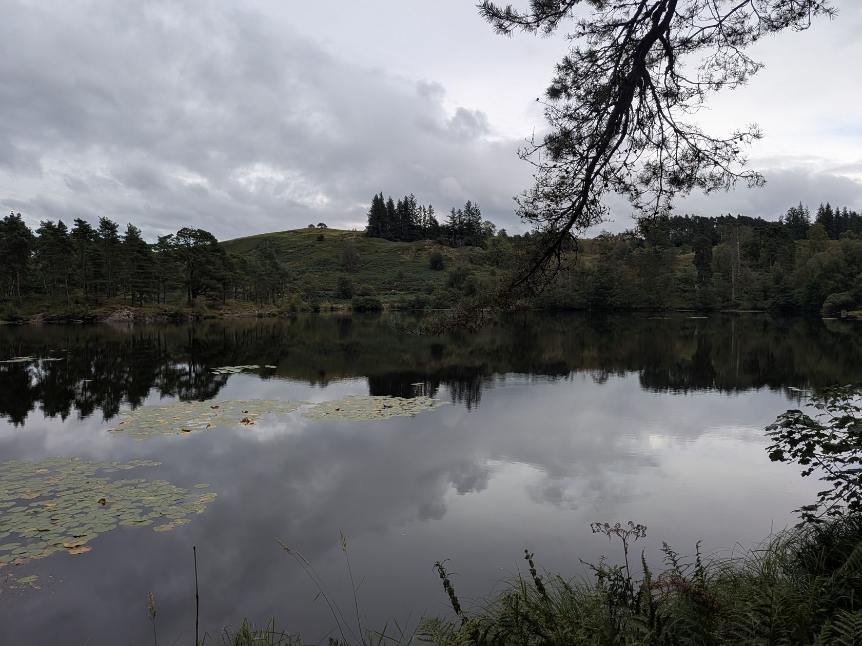
Fell Foot Park lakeshore
Accessible
📍 Foot of Windermere · 🚶 ~0.8 km loop · ♿ Step-free
The gentlest walk here — a short, step-free and stile-free lakeshore loop through a National Trust park, with benches roughly every 20 metres and a café. Genuinely pram- and wheelchair-friendly, confirmed by the National Trust. Perfect with small children.
Parking: NT car park (members & Blue Badge free; otherwise from £7).
Windermere hub →
Tarn Hows circular
Accessible
📍 Near Coniston / Hawkshead · 🚶 ~1.75 miles · ♿ NT Trampers
The Lakes' most famous gentle circuit — a wide, well-graded National Trust loop around a beautiful tarn ringed by mountains. The Trust describes it as an accessible circular and provides three free all-terrain Tramper mobility scooters (book 48 hours ahead). Popular, so go early.
Parking: NT (members & Blue Badge free; otherwise from £7).
Hawkshead walks →
Loughrigg Tarn
Accessible
📍 Near Ambleside · 🚶 ~2.75 km / 1.7 mi circular · ♿ "Miles Without Stiles"
A quiet low-level tarn beneath Loughrigg Fell, on a wide bridleway recently resurfaced by the National Trust and graded "for many" on the National Park's Miles Without Stiles scheme. Honest caveat: the return uses a short stretch of pavement-less road with a couple of gentle slopes — watch for traffic.
Parking: informal roadside lay-bys (LA22 9HF) — can't be reserved.
Ambleside walks →
Friar's Crag, Derwentwater
Accessible
📍 Keswick · 🚶 ~1.25 km out-and-back · ♿ Boardwalk (see note)
A flat, largely accessible lakeshore path from Keswick to one of the great Lakeland viewpoints, with a boardwalk section through the wood (Miles Without Stiles route 36). Important current caveat: the National Park warns the final spur to the Friar's Crag viewpoint is damaged and "unsafe for those on wheels" while it's repaired — the rest of the path is fine.
Parking: Theatre by the Lake / Lakeside (disabled bays, accessible toilets).
Keswick walks →
Elterwater → Skelwith Force
Accessible
📍 Great Langdale · 🚶 ~2.5 mi / 4 km round · ♿ "Miles Without Stiles"
A flat riverside walk from Elterwater to the low but powerful Skelwith Force, on a robust stone-slab path graded "for many". Honest caveat: the National Park notes it's bumpy — especially for wheelchairs and pushchairs — and the meadow can flood after rain.
Parking: NT Elterwater (LA22 9HP) or Silverthwaite.
Skelwith Force →
Stock Ghyll Force
Easy
📍 Ambleside · 🚶 ~0.9-mile loop, ~86 m ascent · 🚶 Steps
A short, gentle loop from the middle of Ambleside up to a tiered waterfall in a wooded gorge — one of the easiest waterfall walks in the Lakes. There are steps and a little gentle climbing, so it's easy rather than step-free.
Parking: Ambleside town car parks.
Ambleside walks →
Rydal Water & Grasmere
Easy
📍 Grasmere / Rydal · 🚶 A gentle low-level loop · 🕳️ Rydal Cave on route
A classic gentle circuit taking in two lakes, Wordsworth country and Rydal Cave, on mostly good low-level paths (a few slightly rougher, stony stretches near the cave). One of the loveliest easy days in the central Lakes.
Parking: Grasmere or White Moss car parks.
Grasmere walks → ·
Rydal Cave →
Orrest Head
Short — but climbs
📍 Windermere · 🚶 Short, ~1.5 miles round · ⛰️ Uphill
A short, hugely rewarding viewpoint walk straight from Windermere station — Wainwright's first Lakeland view. We include it because it's short and popular, but be clear: it climbs steadily on a made path, so it's not flat and not wheelchair-accessible. Well worth the effort.
Parking: Windermere town car parks.
Windermere walks →
Buttermere lake circuit
Flat — but not step-free
📍 Buttermere · 🚶 ~4.5 mi / 7 km · 🪨 Rock tunnel
The answer to the much-asked "is Buttermere an easy walk?" — yes, it's largely flat and one of the most beautiful lake circuits in England. But it is not wheelchair or pushchair accessible: there's a short rock-cut tunnel (uneven, sometimes flooded) and a few rocky sections. Wonderful on two steady feet.
Parking: NT & village car parks in Buttermere (members free).
Buttermere walks →
Blea Tarn
Low-level — but rough
📍 Little Langdale · 🚶 ~1.4 km · 🪨 Rough underfoot
A short, low-level walk to a jewel of a tarn with the Langdale Pikes behind it — postcard Lakeland. There's a good compacted path and a footbridge on the outward leg, but the National Park grades the full loop "challenging": the return is rocky with steep pitches and is too rough for most wheeled equipment. Lovely on foot; not an accessible circuit.
Parking: NT car park, Blea Tarn (LA22 9PG) — steep entry.
Ambleside walks →
Pooley Bridge circular walk
Easy
📍 Ullswater · 🚶 2.6 mi (4.2 km) loop · ⏱️ ~1 hr
Virtually flat and lakeside — a loop along the Ullswater shore into Pooley Bridge and back down the Howtown road, about an hour's walking with the village halfway round. Trainers are fine. Start at the Waterside campsite car park, not the village: the village car parks are two hours in peak season.
Start: Waterside campsite car park, entrance
///risk.laces.forgiven (paid).
The full route →