Waterhead · Free
Ambleside Roman Fort (Galava)
A free field of Roman footings at the head of Windermere, with very little left standing. Use the gate nearest the road, start at the National Trust board, and wear boots.
A free field of Roman footings at the head of Windermere, with very little left standing. Use the gate nearest the road, start at the National Trust board, and wear boots.
The honest version
I drove past this field for thirty years without knowing it was anything other than a field. From the road you would not have a clue, and that is the first thing to know about Ambleside Roman Fort.
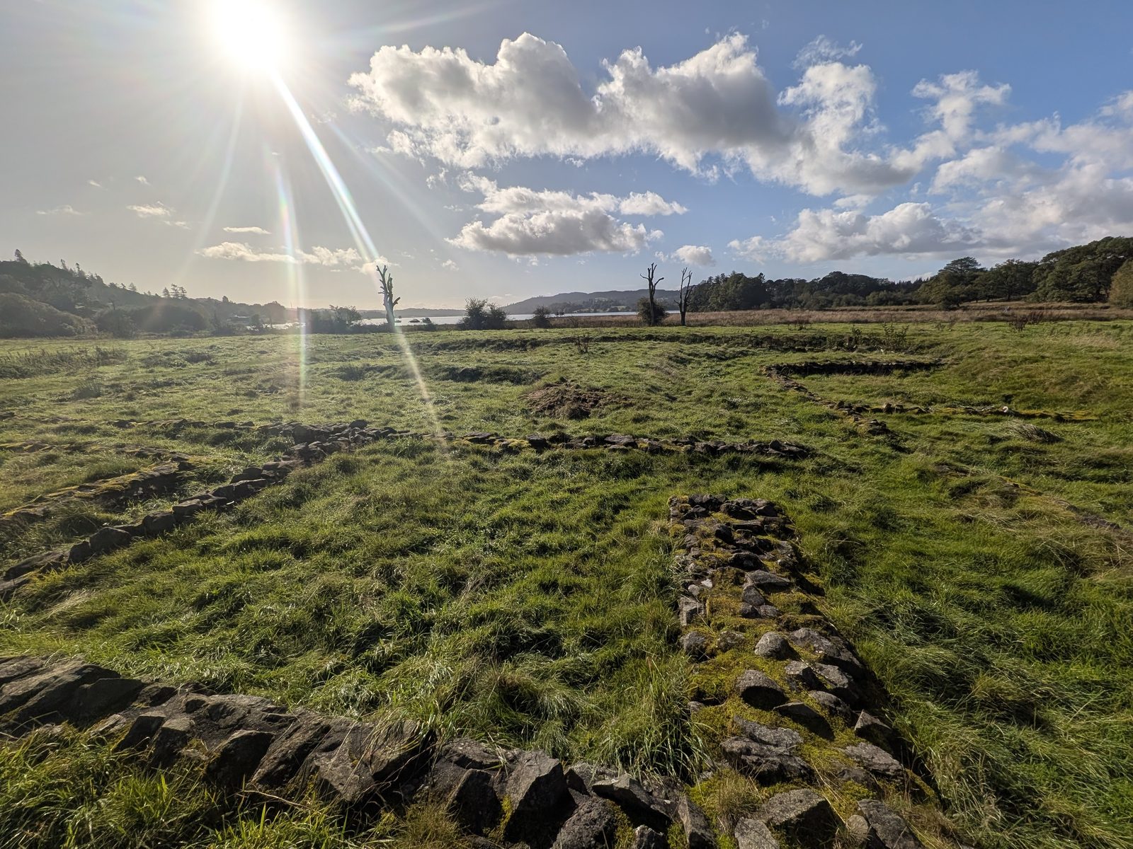
The second is that it is not a visual fort like Hardknott. There is little left in the way of walls. What you can see are the points of entry and the sectioned-off areas where the buildings stood: low lines of stone in the grass. If you like to understand a place, it is well worth the short walk, and it costs nothing. If you want standing walls, Hardknott is the one to drive to.
The name needs a word too. We lead with Ambleside Roman Fort because that is what it is called on the ground. Galava is the name it is thought to have carried in Roman times, and the National Trust board in the field is careful to say only that it may be the fort called Galava. We keep that caution on this page.
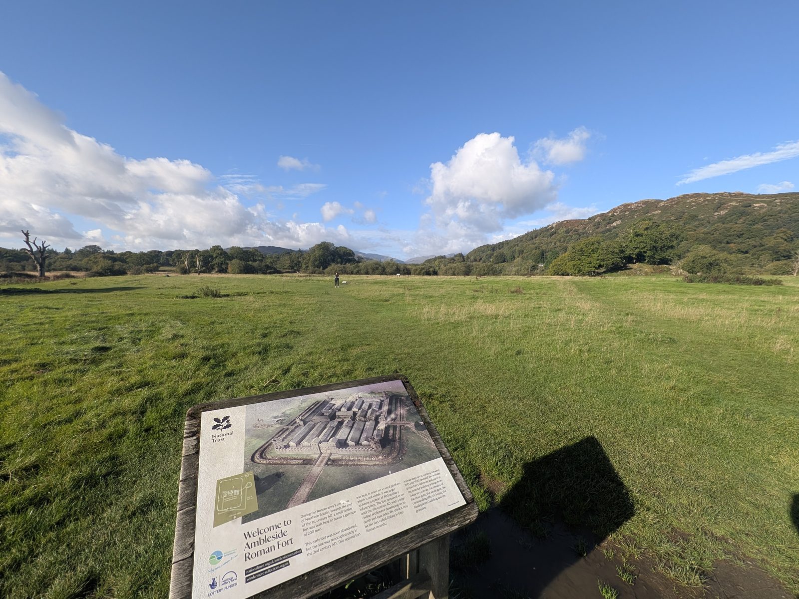
If you only do one thing: go in by the gate nearest the road, find the National Trust welcome board and read it before you walk anywhere. The rest of the field makes sense after that, and not much of it does before.
Getting in
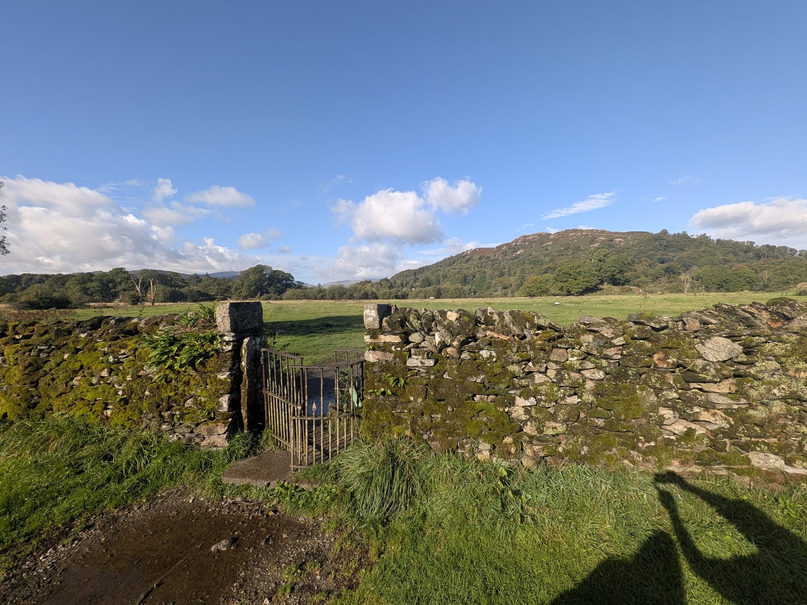
Two gates lead from the green, Borrans Park, into the fort field. Use the one nearest the road. It brings you in beside the National Trust welcome board, and you need that board to make sense of the place.
Google Maps sends you the wrong way
Google Maps takes you to the far entrance, the river-walk gate on the north-east side. You can come in that way, alongside the river, but walk round to the roadside gate and start at the board.
We went through the wrong gate first. It cost us about fifty metres and no great harm, but we had the field in the wrong order until we found the board.
Getting there
The fort is in Borrans Field at Waterhead, beside the A5075. English Heritage puts it about 180 metres west of Waterhead car park, and the Lake District National Park puts it about 1 km (0.6 miles) south of Ambleside.
We were staying at the Wateredge Inn, the inn next to the park on Borrans Road, and left the car there. That is guest parking, so do not count on it. My advice is to park anywhere in Ambleside and walk down: it is an easy walk.
For a sat-nav the National Trust suggests LA22 0ES, which is Waterhead car park. It is a pay car park and not a National Trust one; the National Trust says there are public toilets there.
The National Trust's directions: turn right out of Waterhead car park, cross the road, and with the lake on your left follow the path through Borrans Park to the gate. Remember which gate you want: the roadside one.
The National Trust lists buses 555 and 599 to Waterhead, then a very short walk. Check the Stagecoach timetables before you rely on either.
Boats call at the Waterhead jetties in season; see our Windermere guide.
What you can see
Everything described below comes from the National Trust boards in the field. On the ground it is outlines and low stone in grass, so read the board at each spot and then look down.
The board calls it the eastern gateway, the Porta Praetoria. The Via Praetoria ran from it straight to the headquarters building. This was the only gate with twin doors, with a guard room in a tower on each side; the board says the other three gates had a single door.
A single entrance with flanking walls rather than towers. The outer threshold stone, with its pivot holes, is still there: look for it. The road through this gate ran to the lakeside, which the board says suggests that men and materials moved by water.
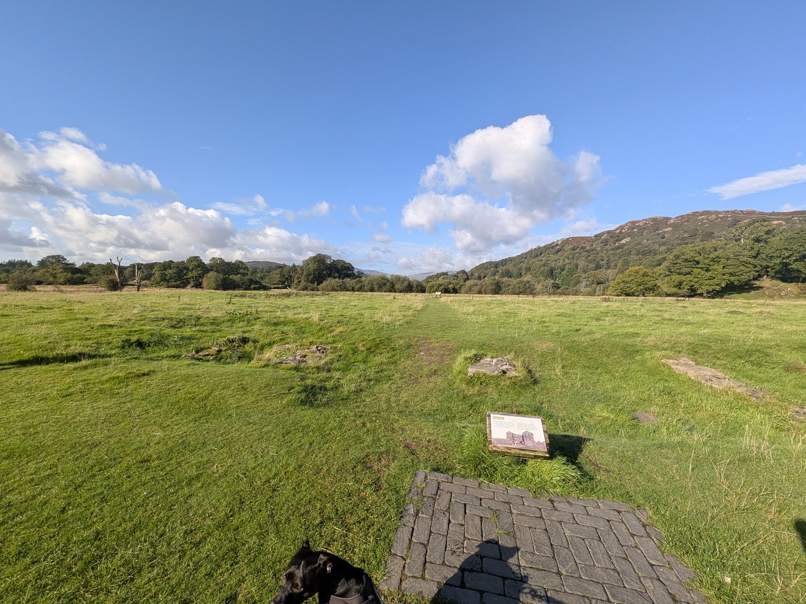
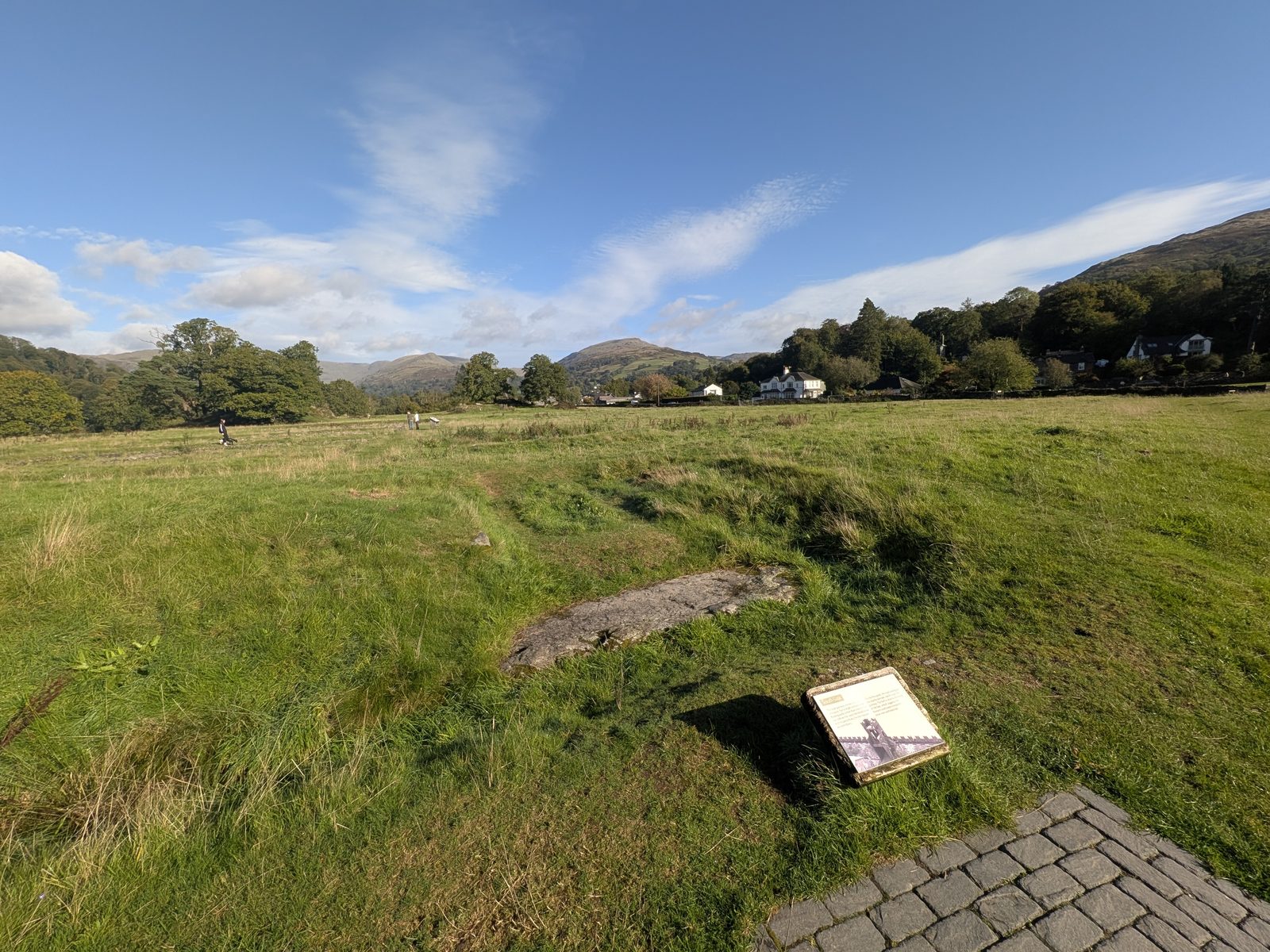
The fort had the "playing card" plan, with rounded corners, a small tower at each corner and a walkway round the top of the wall. A gravestone found near the fort commemorates a records clerk called Flavius Romanus, and the board notes that it says he was killed inside the fort by the enemy.
The boards describe three buildings in the middle of the fort. On the ground they are outlines in the grass.
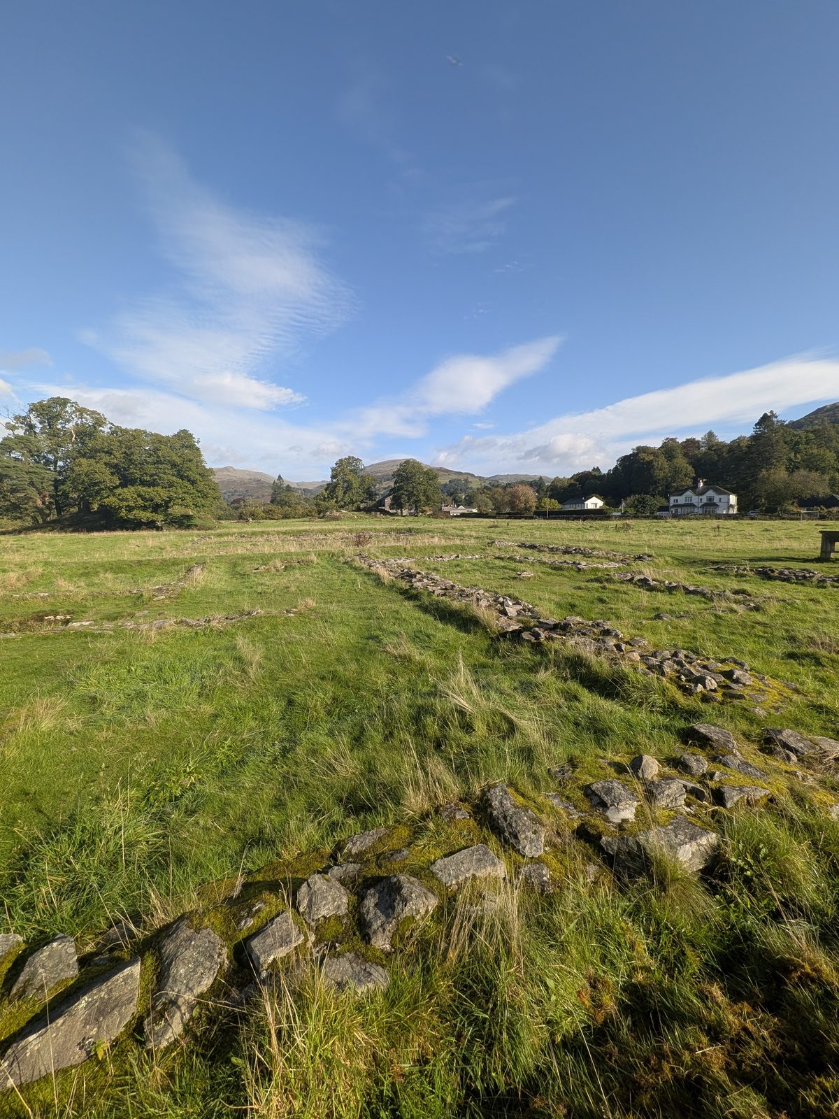
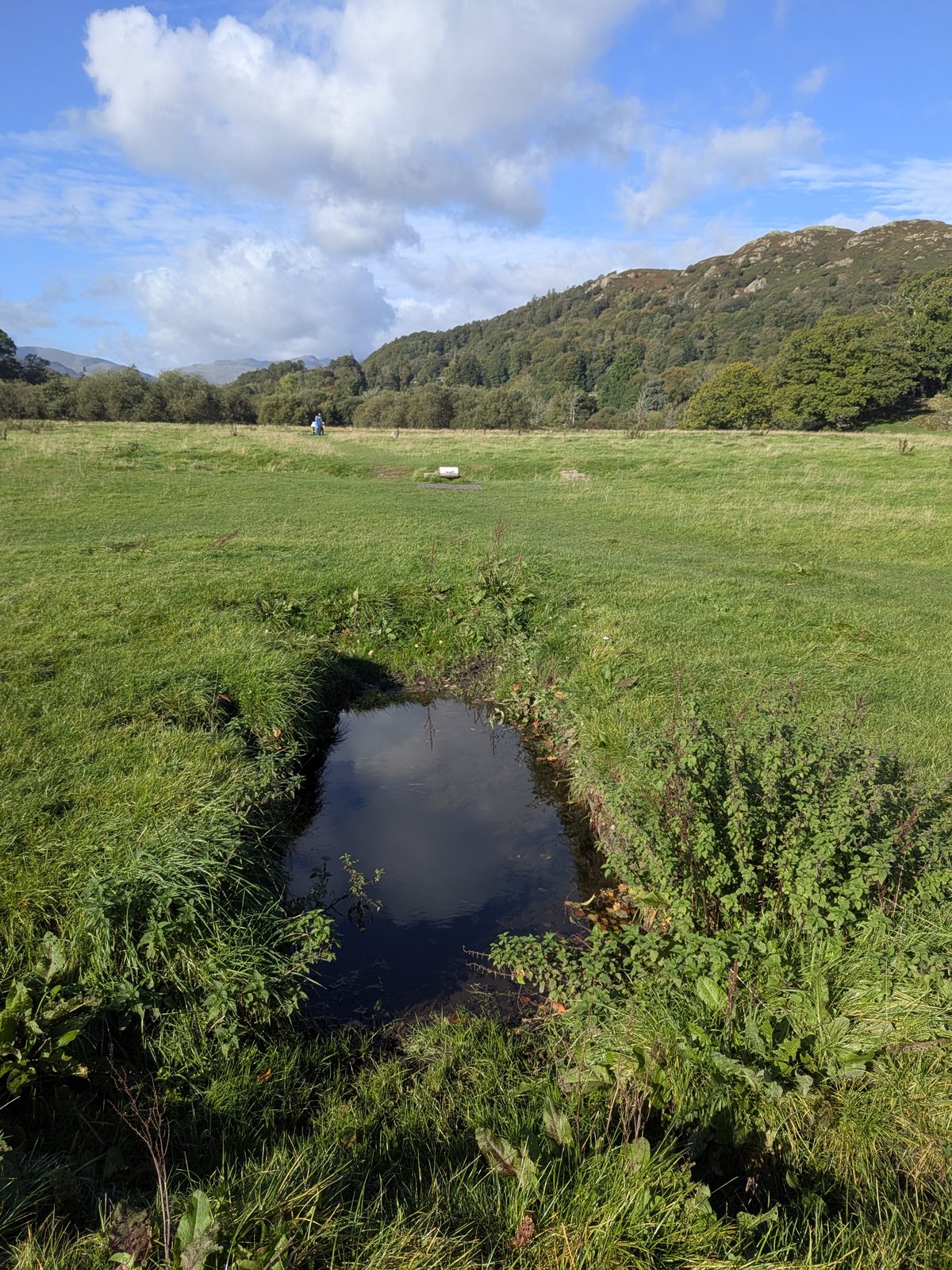
Lines of stone like the one below mark out where the buildings stood. The ground was very wet when we visited: there was water all the way around the fort and a trickle running along the south side. The water-filled hollow in the second photograph was one of the wettest spots, and I cannot tell you what it was. Wear boots.
A short history
According to the welcome board, the first fort here was a small timber one built in the late 1st century AD for a garrison of about 200, and it was soon abandoned. In the early 2nd century the site was reoccupied and a larger stone fort on a raised platform was built for a cohort of about 500 auxiliary infantry. The board says the platform can still be seen, and it was used until the 4th century, with a large civilian settlement to the north and east.
English Heritage dates the remains you see to the 2nd century and says the fort was built under Hadrian to guard the Roman road from Brougham to Ravenglass, and to act as a supply base. Both statements hold: there was a first fort in the late 1st century and the stone fort whose footings survive is 2nd century. No single founding year is given by either source, and we do not give one.
The board about Windermere adds two details. The River Brathay ran closer to the fort two thousand years ago and formed a barrier on its western side, and Windermere itself is more than ten miles long. The fort was excavated between 1913 and 1920.
The green beside the fort
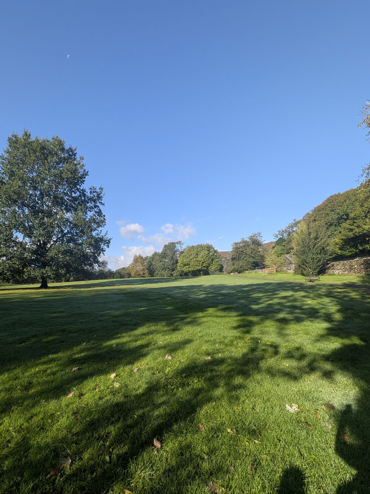
Borrans Park is the open green between the road and the Windermere shore at Waterhead, and the way into the fort field is across it. A council sign in the park describes it as a place for picnics, paddling and the view, and says it was once a Roman settlement, with a road leading to the fort in the next field. For parking, see Getting there: there is no car park in the park itself.
A Westmorland and Furness Council sign says no barbecues or bonfires, with fixed penalties for breaking the rule. The Wateredge Inn is next door.
Before you paddle or swim
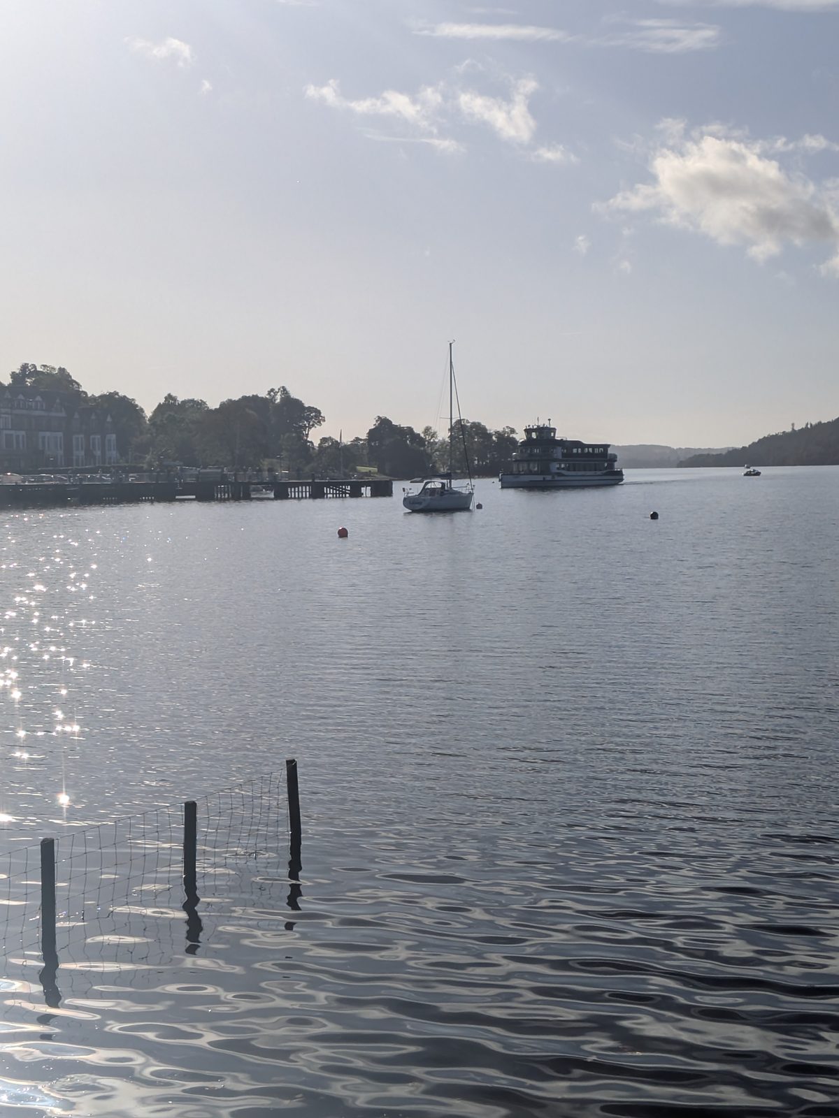
A LOVE Windermere blue-green algae notice is posted in the park: check the water before you go in, and keep dogs on a lead and out of it if there is any sign of algae. We cannot tell you what the water is like on any given day, so read the notice and the Environment Agency guidance on the day.
Dogs and the ground
English Heritage welcomes dogs on leads and warns that farm livestock are likely to be present in the field, so the lead matters. Cass, our black Staffordshire Bull Terrier, was with us on hers. Smoking, vaping, barbecues and naked flames are not allowed.
The ground is soft: when we visited there was water all round the fort, as described above. Wear boots, and expect wet feet if you do not.
Other Roman sites
English Heritage says a Roman road linked this fort to Hardknott Roman Fort and to the bath house at Ravenglass. Both are worth the drive, and both are a very different day out.
Common questions
Keep exploring
The full guide to the town a short walk north of the fort.
The lake itself, and the boats that call at Waterhead.
Every walk on the site, from easy lakeside strolls to the fells.
Stone circles, Roman forts and the rest of the odd stuff.