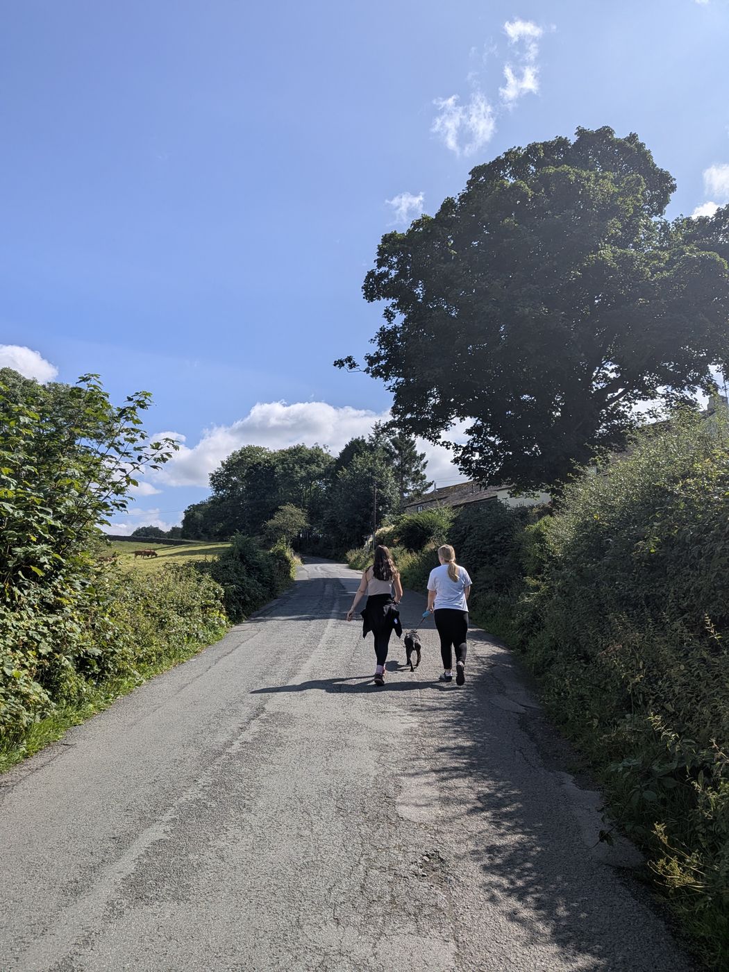
Walkers and a Staffordshire Bull Terrier on the steep lane up to Castlerigg
Keswick · Moderate · About 5 miles

The Castlerigg Stone Circle walk from Keswick

Almost everyone drives up, parks on the verge and walks twenty yards. This is the other version — out of town on the old railway path, up the lane to the stones, round by a viewpoint nobody knows about, and back down a steep footpath to a tea room by a beck.

Written and walked by Peter Walked Sunday 23 August 2026 with Ellie, the family and Cass
5 mi
About 8 km, circular
2½–3½
Hours, easy pace with stops
168 m
Total ascent
Free
No parking needed, no tickets
The walk Start The route The Lookout The descent Where to eat Practical FAQ

The walk

Why walk it rather than drive it

Castlerigg Stone Circle has a small amount of roadside parking on a narrow lane, and on any decent day it is full. That is the practical argument for walking. The better argument is that the circle makes far more sense when you have climbed to it — you arrive at a plateau having watched the fells assemble themselves around you on the way up, which is more or less the point of where the stones were put.

The full circular is about 5 miles, or 8 km, with roughly 168 metres of ascent. Allow two and a half to three and a half hours at an easy pace with stops. We took 2 hours 39 minutes elapsed, and that included a long sit at the circle and a longer one at The Lookout, so the upper end of that range is realistic rather than cautious.

It is a walk of four distinct parts: a flat, easy start on the old railway path; a steep road climb; a stretch of quiet field paths along the top; and a short, sharp descent back into Keswick past a tea room.

Which way round?

The loop works in either direction, but we would do it as described here — up the road, down the footpath. The descent is steep, stepped, frequently slippery and completely unlit. You want it in daylight and on fresh legs, not at the end of the day in fading light. Reversing the route means climbing that path instead, which is harder work, and finishing down a road shared with traffic.

Getting started

Where the walk starts

The walk begins in Keswick town centre and picks up the Keswick to Threlkeld railway path on the edge of town. You do not need to park anywhere special — that is rather the point of doing it this way.

Start point

The walk starts from Keswick town centre, and there is no single official start point: park anywhere sensible in town and pick up the railway path at its Keswick end. We left the car at the Leisure Centre car park, which is one convenient option because the path begins beside it, and the loop can be shortened slightly at the finish to come back to it.

Step by step

The route, as we walked it

1

Out of Keswick on the railway path

Leave the town centre and join the Keswick to Threlkeld railway trail. This first stretch is flat, surfaced and easy — a gentle warm-up rather than part of the work, and busy with runners, dog walkers and bikes.

2

Take the signed right fork for Castlerigg

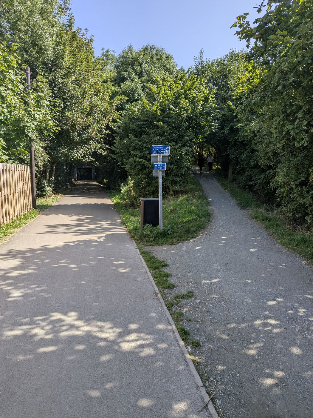
Watch for the point where a gravel path forks right off the surfaced railway path. It is signed Castlerigg Stone Circle on a blue fingerpost, with C2C cycle-route signage below it. Miss this and you carry on happily towards Threlkeld — it is the one junction on the walk worth paying attention to.

Signed fork off the Keswick railway path toward Castlerigg Stone Circle
The fork: surfaced path carries straight on to Threlkeld, gravel path bears right for Castlerigg. The blue sign and the C2C marker are the confirmation.
3

The climb up the lane

This is the hard part of the day, and it is over reasonably quickly. The lane climbs steadily and steeply up towards the plateau. It is a road — you are sharing it with cars heading up to park at the circle, there is no pavement, and in summer it can be genuinely busy. Single file on the bends, and keep dogs and children in close.

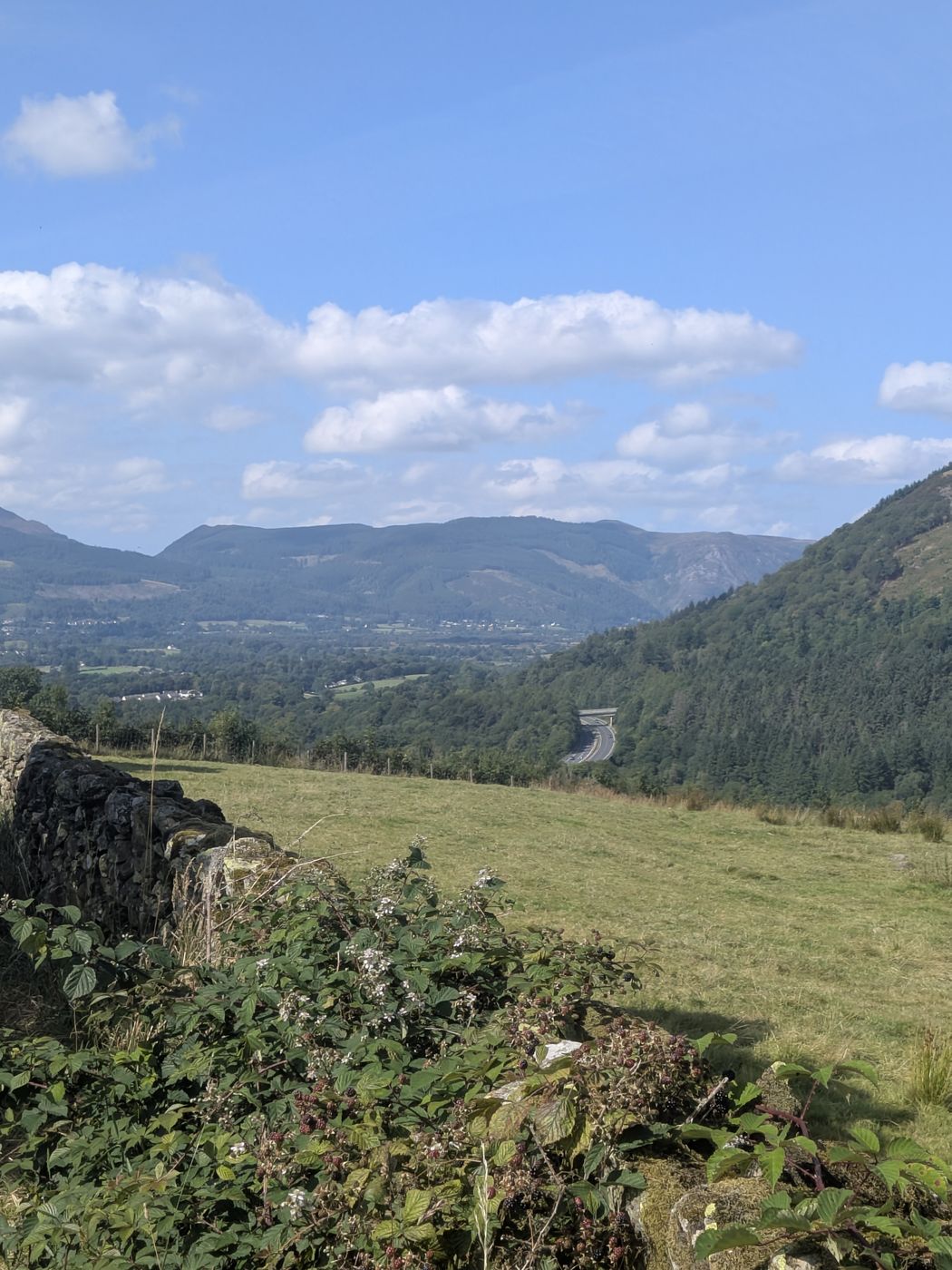
View across the valley to the A66 and the forested fells from the lane above Keswick
Across to the A66 and the forested fells as you gain height
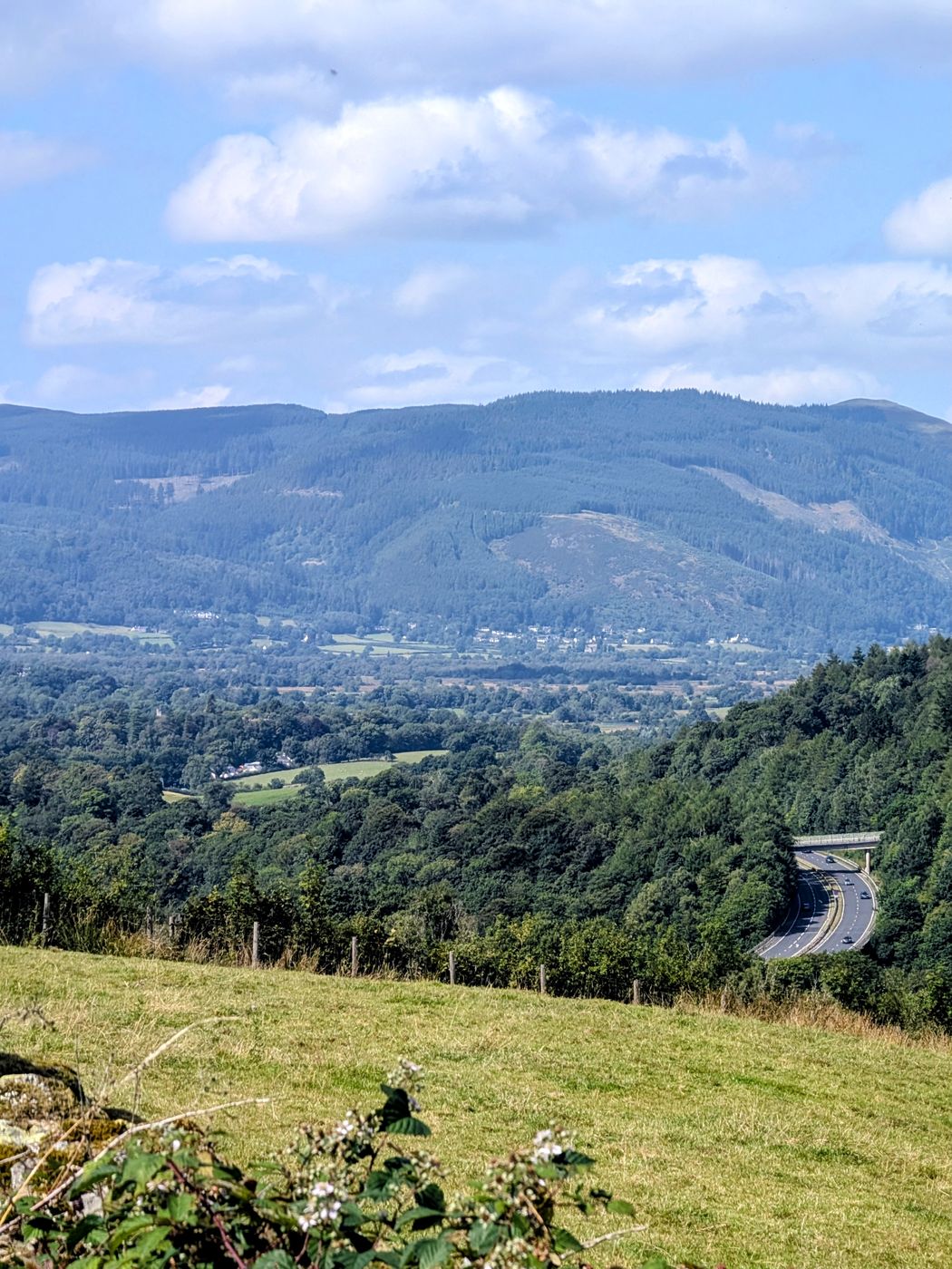
The valley and the A66 seen from the fields above Keswick
The valley opening out below the lane
4

The stone circle

The lane levels and the field is on your left. Go in through the gate. Full detail of the site — history, the age question, the light, the parking — is on the Castlerigg Stone Circle guide; on the walk, the thing to do is turn round and look south, down St John's in the Vale, which is the view most visitors never register.

Be prepared for company. At midsummer we have seen hundreds of people picnicking here through the evening.

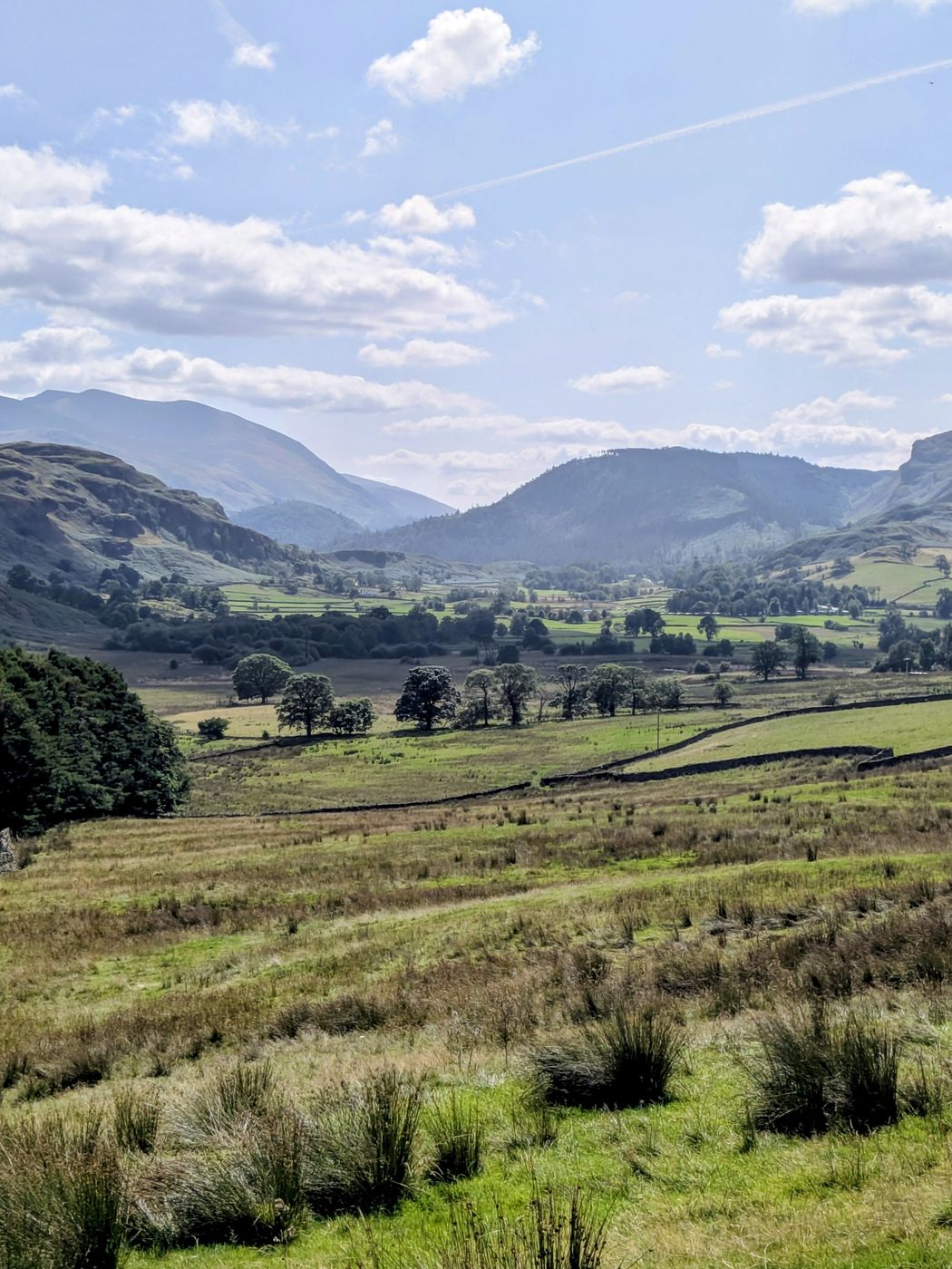
Field path with views down St John's in the Vale
South down St John's in the Vale from the fields beyond the circle
5

Past the Hungry Heifer, onto the field paths

Carry on roughly thirty yards past the Hungry Heifer Café at Keswick Climbing Wall — worth knowing as the nearest toilets to the circle — then take the gate on the right into the fields. The route now runs on field paths over several squeeze stiles, the narrow slots in the walls rather than anything to climb.

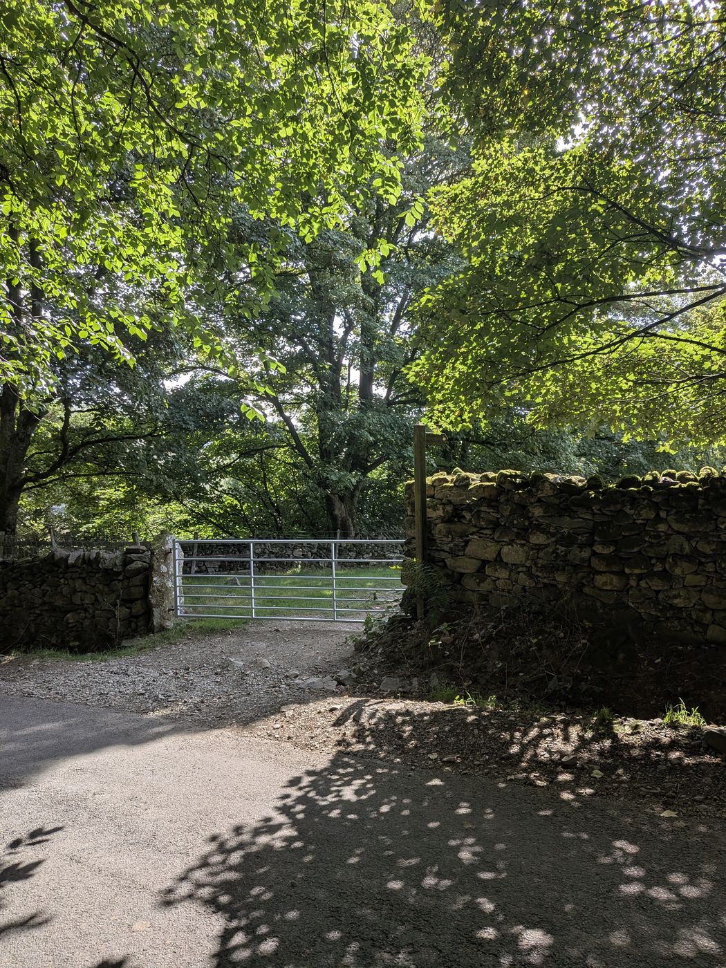
Field gate in the dry-stone wall on the lane near High Nest
One of the field gates on the top section, near High Nest
6

High Nest, Goosewell Farm and the cattle grid

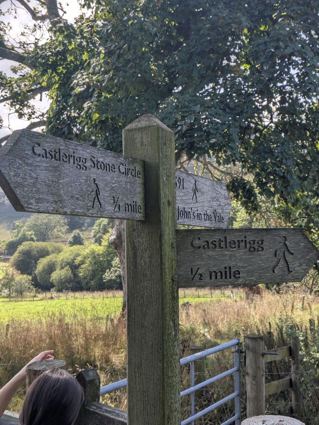
The path is signed past High Nest and continues past Goosewell Farm. At the cattle grid, bear right — signed Castlerigg ½ mile. The fingerpost here also reads Castlerigg Stone Circle ¾ mile and St John's in the Vale, so read it properly rather than glancing at it.

Wooden fingerpost pointing to Castlerigg Stone Circle, Castlerigg and St John's in the Vale
The fingerpost at the junction — three destinations on one post, which is why it is worth stopping to read
7

Cross the A591

The route crosses the A591. This is a fast main road with limited sightlines — cross with real care, get everybody over together, and have dogs on short leads well before you reach it. Once across, continue about fifty yards up to pick the route up again.

8

Past Castlerigg Farm and Castlerigg Hall

The lane runs on past Castlerigg Farm Camping and Caravan Site and then Castlerigg Hall Caravan Camping and Glamping Park. These are two separate businesses with confusingly similar names, and it is worth knowing which is which if you are booking anything — Castlerigg Hall is the one with The Lookout and the gallery.

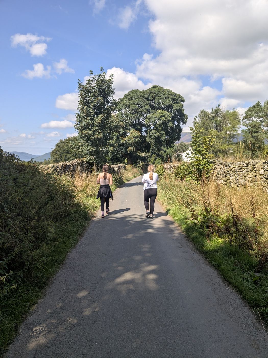
Walkers on the walled lane past Castlerigg Hall
The walled lane past Castlerigg Hall

The bit nobody tells you about

The Lookout, at Castlerigg Hall

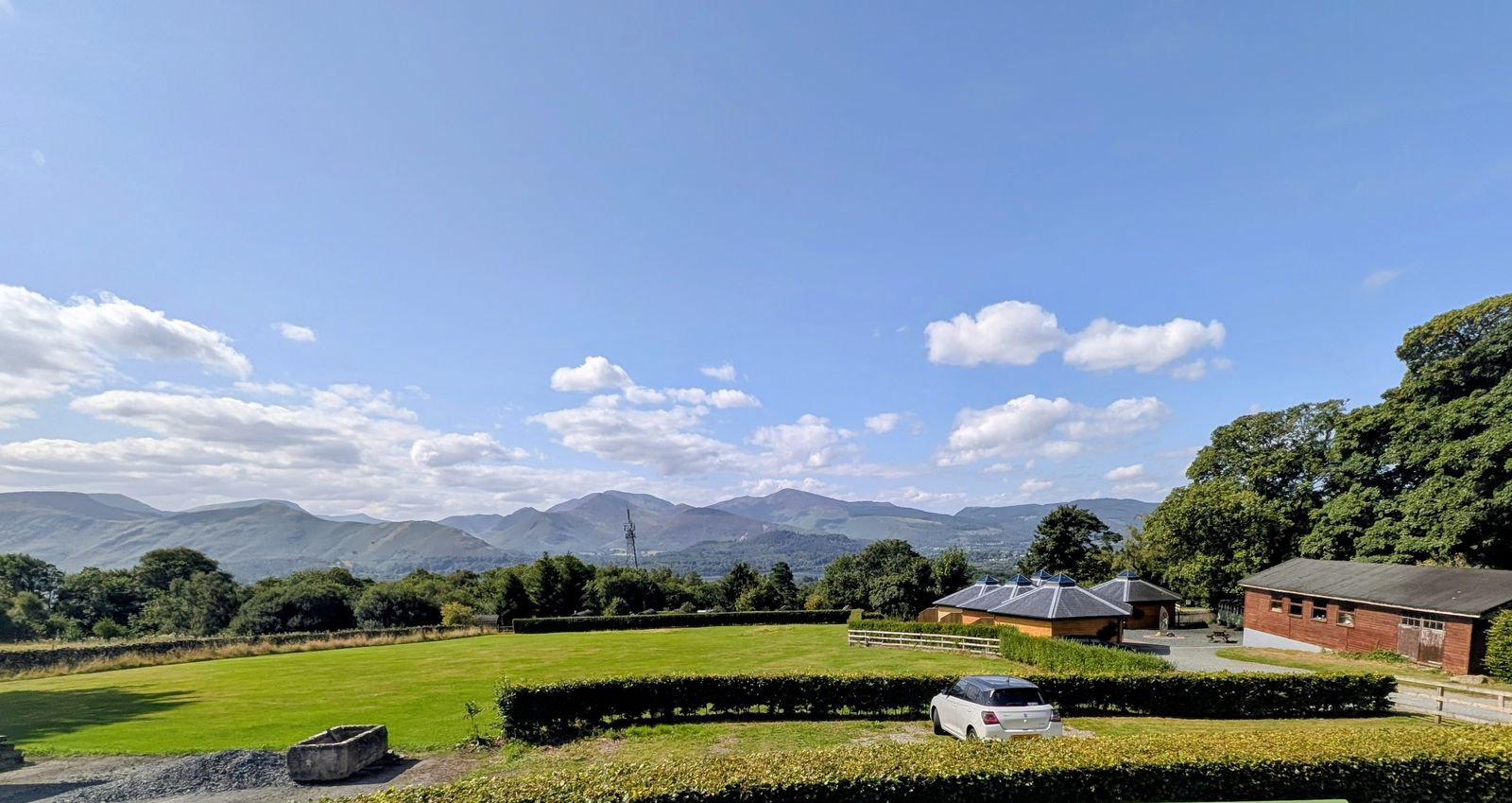
Roughly two-thirds of the way round, the route passes The Lookout at Castlerigg Hall — a free viewpoint with a toposcope naming the fells laid out in front of you, from Catbells and Causey Pike round to Grisedale Pike and Whinlatter. It is open to walkers passing through, it costs nothing, and the overwhelming majority of people who drive up to the stone circle have no idea it exists.

The Lookout viewpoint at Castlerigg Hall, looking out over the north-western fells
The view west from The Lookout, over the camp field to the north-western fells

A holiday camp on the fellside

The interpretation boards here tell a genuinely good story, and Castlerigg Hall phrase it carefully — "believed to be" England's first permanent holiday camp — so we will too. In 1909, William Pattie established the Derwent Holiday Camp on land bought from Castlerigg Hall Farm: canvas bell tents pitched on the fellside, with a pavilion for dining and recreation. Extracts from a 1910 brochure are on display, and by that year the camp had a cold-water plunge pool — which, as the boards themselves cheerfully put it, was later repurposed rather less glamorously as a septic tank.

During the First World War the government closed the camp, on the reasoning that a field of white bell tents might be mistaken from the air for a military encampment by Zeppelins. In 1968 the staff living quarters behind the main pavilion caught fire, though nobody was hurt. The camp was reunited with Castlerigg Hall in 1967 when John Jackson bought the site, and the glamping pods now stand on the old camp ground.

On the history above. It comes from the interpretation boards at The Lookout, rewritten in our own words. Where Castlerigg Hall hedge a claim — the "first permanent holiday camp" one especially — we have kept the hedge rather than quietly upgrading it to a fact.

The way down

The steep descent to Brockle Beck

Read this before you start down

The descent is very steep, stepped in places, likely to be very muddy in winter, and completely unlit. If you are anywhere near the back end of the day, carry a torch — and if the light is already going, this is the point to think again rather than halfway down.

9

The left turn onto the public footpath

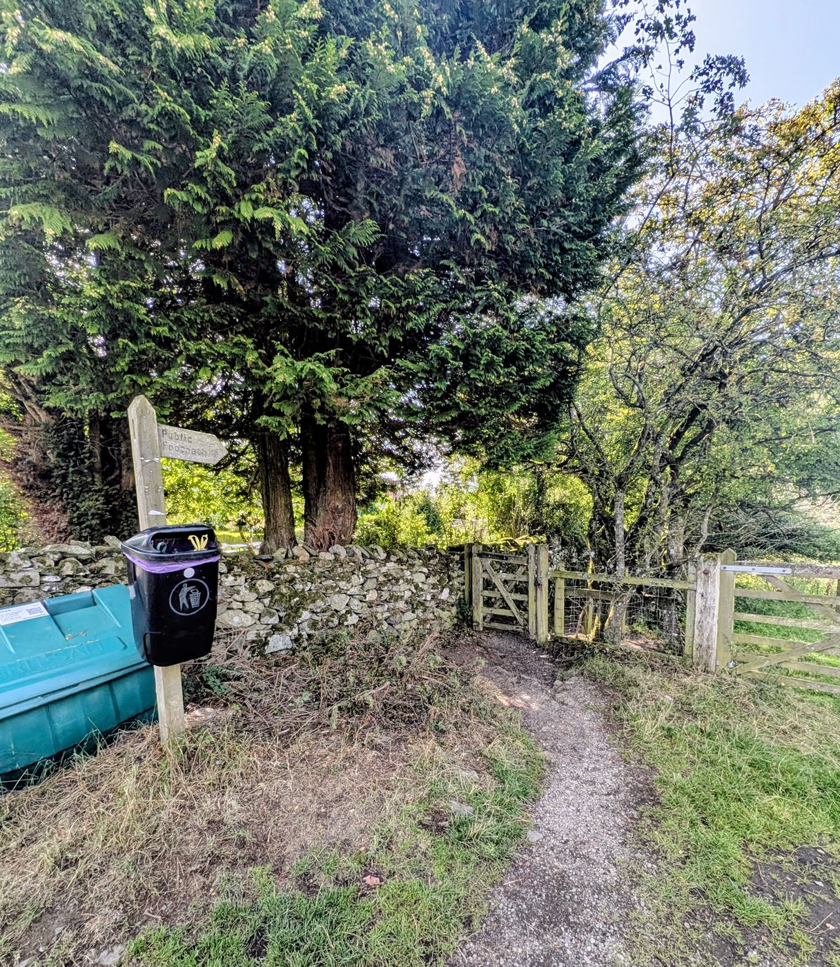
About 200 metres past Castlerigg Farm and Castlerigg Hall, take the left turn signed public footpath. This is the start of the descent proper.

Public footpath gate at the start of the steep descent toward Keswick
The gate at the top of the descent — the signed public footpath left off the lane
10

Down beside the campsite

The path drops steeply as a narrow enclosed way running beside the Castlerigg Farm campsite and passing under a bridge. It is stepped in sections and the surface is loose and worn — this is where the walking poles earn their keep if you carry them, and where wet weather makes the most difference.

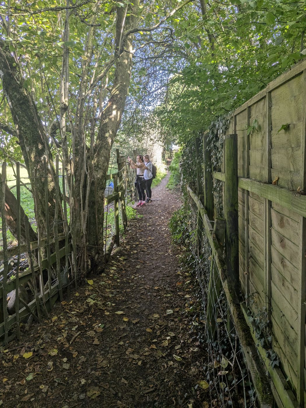
Narrow enclosed footpath beside the Castlerigg Farm campsite
The enclosed descent path alongside the Castlerigg Farm campsite
11

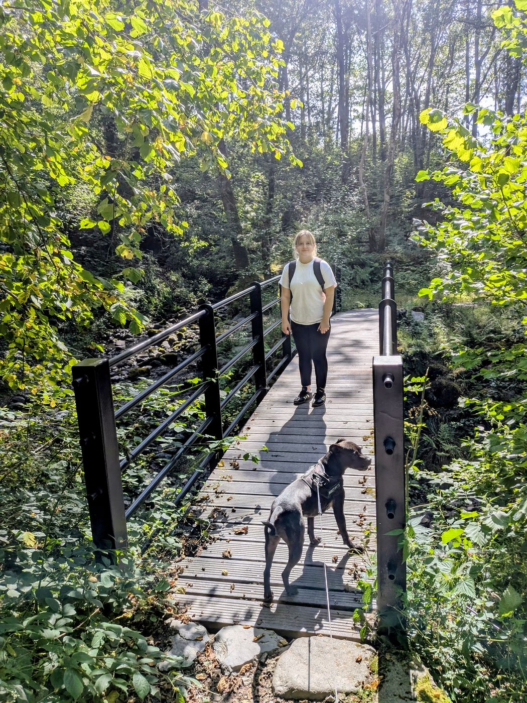
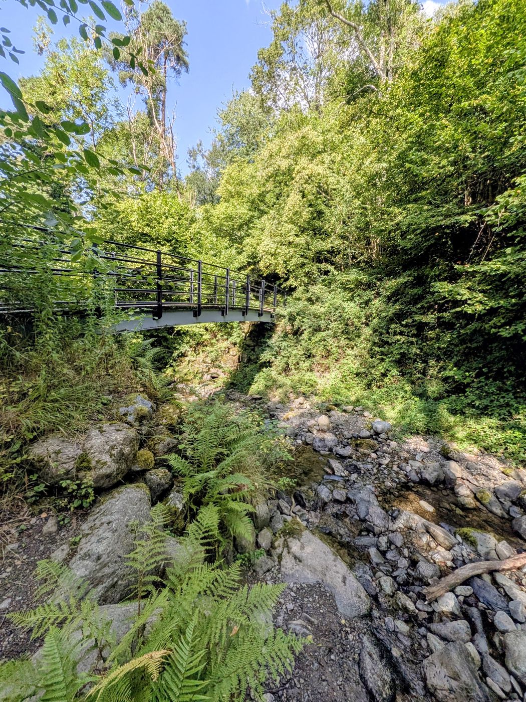
The footbridge over Brockle Beck

At the bottom the path reaches a black metal footbridge over Brockle Beck, with the beck running over rock beneath it. This is the landmark that tells you the steep part is done.

Walker and Staffordshire Bull Terrier crossing the footbridge over Brockle Beck
Crossing Brockle Beck at the foot of the descent
Footbridge over the rocky course of Brockle Beck in Springs Wood
The beck running over rock below the bridge
12

Bear right for Keswick via Springs Farm

Immediately after the bridge the path forks. Turn right for Keswick via Springs Farm: the left branch takes you away from Keswick. This is the one place on the route where taking the wrong branch costs you real time, so it is worth being deliberate about it.

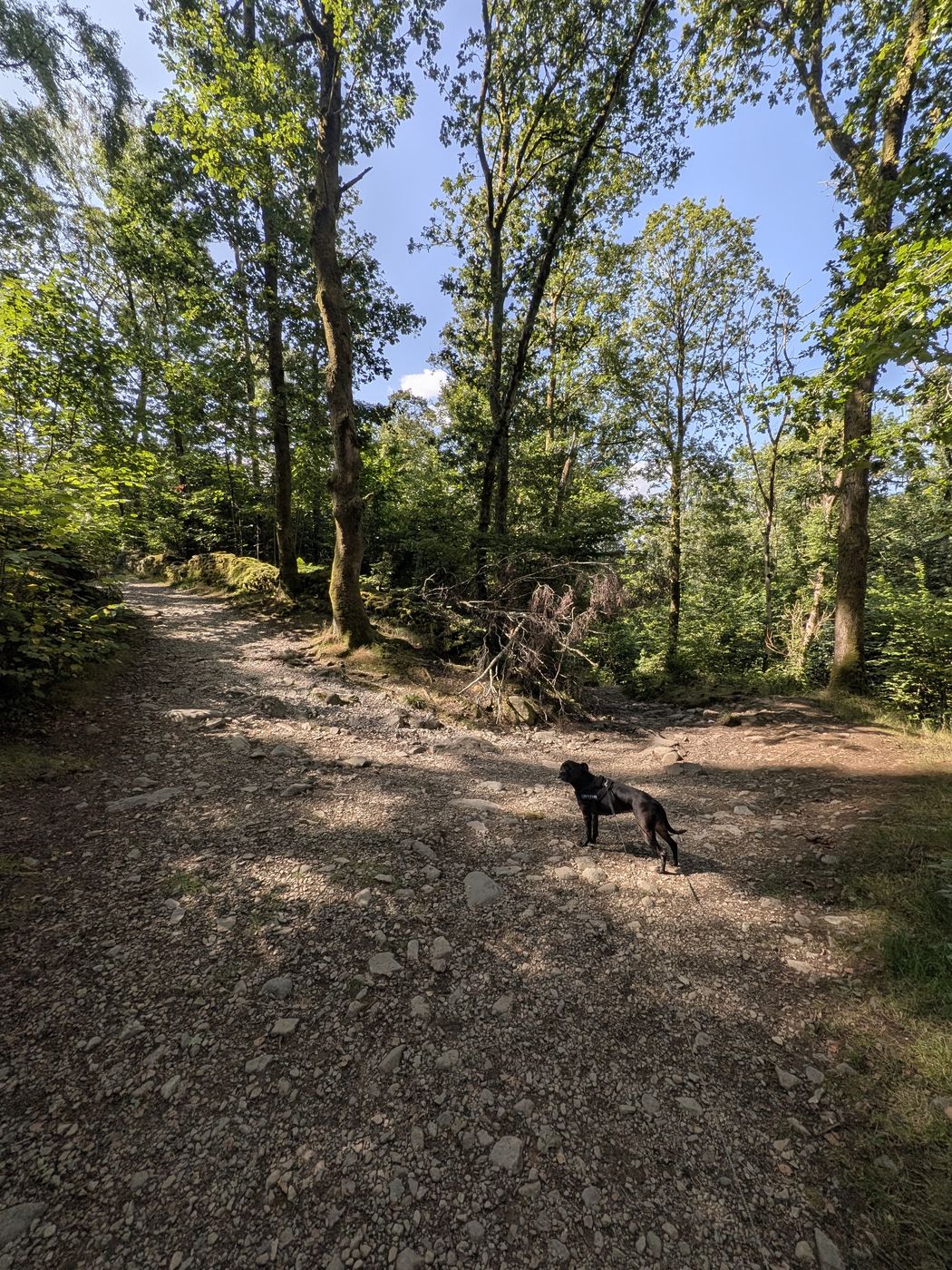
Staffordshire Bull Terrier on the woodland path through Springs Wood
Through Springs Wood — easy walking after the descent
13

Springs Road back into Keswick

Follow Springs Road back into town. You can finish through the centre via Lake Road, past the Dog & Gun and The Wainwright, or cut off earlier if you left the car at the Leisure Centre.

Where to stop

Tea, cake and where they actually are

Three options on the route, in the order you meet them. All three are businesses setting their own hours, so none of them is a guarantee — check before you build the walk around one.

Near the circle

The Hungry Heifer Café

At Keswick Climbing Wall & Outdoor Activity Centre, a short way past the stone circle. The nearest café and the nearest toilets to Castlerigg.

The sign on site gave 9.30am–4.30pm when we passed — worth checking before visiting.

Two-thirds round

Castlerigg Gallery

At Castlerigg Hall, beside The Lookout. Tea, coffee, cake and ice cream, a tea garden with fell views, gifts and photography, and a toilet.

Gate sign gave the Gallery and Lookout as 12–4pm daily at the time of our visit.

Near the finish

Annie's Pantry

At Springs Farm, in a converted stable beside Brockle Beck — the natural stop near the end of the loop. Dog friendly and muddy boots welcome, and wheelchair accessible.

The operator lists 10am–4pm except Mondays and Fridays. It is not open daily, so check the day before you count on it.

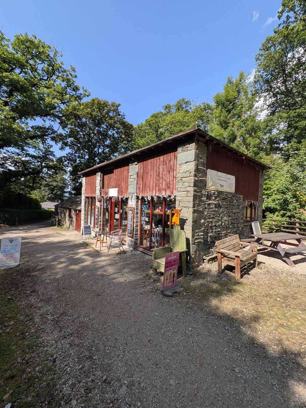
Annie's Pantry tea room in a converted stable at Springs Farm, Keswick
Annie's Pantry at Springs Farm — a converted stable beside the beck

Springs Farm

Annie's Pantry sits at Springs Farm, a working farm run by the Hutton family, who have farmed here since 1924. There are farm tours — Highland cattle among them — and a gift shop.

Placed where it is, near the end of a walk with a steep descent in the middle of it, it is close to ideally sited. Dog friendly and relaxed about boots, which is exactly what you need at that point in the day.

Note the full name — Annie's Pantry, not Annie's Tea Room.

Before you go

The practical questions, answered

How steep is it?

The road climb is steep and sustained but short-lived. The descent is steeper again and stepped. Total ascent is only ~168 m, so it is gradient rather than height that makes this feel like work.

Traffic on the climb

You share the lane with cars driving up to the circle, and there is no pavement. In summer it is busy. Single file on blind bends, dogs and children close. The route also crosses the A591 — treat that seriously.

Mud in winter

The field sections and the descent will be muddy through winter and after any prolonged wet. The descent is the one that matters — stepped, worn and slippery when wet. Boots, not trainers, outside high summer.

Take a torch

The descent is unlit end to end. If there is any chance of finishing near dusk — and there often is, because people stay at the circle longer than they mean to — carry a torch rather than relying on a phone.

Dogs

On a lead throughout — livestock in the fields either side, and road sections. Squeeze stiles rather than climbable ones, which most dogs handle easily. Cass did the whole loop.

Toilets

None at the stone circle. Two on the route: the Hungry Heifer Café just past the circle, and Castlerigg Gallery at Castlerigg Hall. Both keep their own hours — go before you leave Keswick.

Common questions

The Castlerigg walk, answered

How long is the Castlerigg Stone Circle walk from Keswick?
The full circular is about 5 miles (8 km) with roughly 168 m of ascent. Allow 2½ to 3½ hours with stops — we recorded 2 hours 39 minutes elapsed including long stops at the circle and The Lookout. Straight there and back to the circle alone is about a mile and a half each way.
Can you walk to Castlerigg from Keswick town centre?
Yes. Leave town on the Keswick to Threlkeld railway path, take the signed right fork for Castlerigg, and climb the lane to the circle. Given how little parking there is at the circle, walking is often the more reliable plan as well as the better one.
How steep is the walk up to Castlerigg?
The road climb is steep and sustained, and it is the hardest part of the day. The descent on the way back is steeper but much shorter, and stepped. Total ascent is around 168 m — modest by Lake District standards, so it is the gradient people notice rather than the climbing.
Which direction should you walk it?
It works both ways, but we would go up the road and down the footpath, as described here. That descent is steep, stepped, often slippery and completely unlit — much better taken in daylight on fresh legs than climbed, or descended in fading light at the end of the day.
Is it suitable for dogs?
Yes, on a lead throughout — there is livestock in the fields and road sections including an A591 crossing. The stiles are squeeze stiles rather than anything to be lifted over, which most dogs manage easily. Cass, our Staffordshire Bull Terrier, did the full loop.
Are there toilets on the route?
Not at the stone circle itself. There are two on the route — the Hungry Heifer Café at Keswick Climbing Wall just past the circle, and Castlerigg Gallery at Castlerigg Hall. Both are businesses with their own hours, so neither is guaranteed. Go before you leave Keswick.
Where can you eat on the walk?
Annie's Pantry at Springs Farm is the natural stop, near the end — a converted stable beside Brockle Beck, dog friendly and used to muddy boots. Its operator lists opening as 10am–4pm except Mondays and Fridays, so check before planning around it. Earlier there is the Hungry Heifer Café, and Castlerigg Gallery for tea, cake and ice cream.
Is the walk muddy?
The field sections and the steep descent will be muddy in winter and after prolonged rain. The descent is the part worth planning for — stepped, worn and slippery wet, on a narrow enclosed path. In high summer it is dry and straightforward.
Do you have to walk on the road?
Yes, for the climb to the circle — a narrow lane shared with cars, no pavement, and busy in summer. Walk single file on blind bends and keep dogs and children close. There is also one crossing of the A591, which is a fast road and needs real care.
What is The Lookout at Castlerigg Hall?
A free viewpoint on the route at Castlerigg Hall, with a toposcope naming the fells and boards telling the story of the Derwent Holiday Camp, established on the site in 1909 and believed to be England's first permanent holiday camp. Castlerigg Gallery and a tea garden are alongside. Most people visiting the stone circle never find out it is there.
Is there a circular walk to Castlerigg Stone Circle?
Yes, and it is the route on this page. It leaves Keswick on the railway path, climbs a lane to the circle, then comes back down a steep field path past Castlerigg Farm and through Springs Wood: about 5 miles in all, with roughly 168 metres of ascent. Allow two and a half to three and a half hours with stops.
Where do you park for the Castlerigg walk?
Anywhere sensible in Keswick. There is no fixed start point: the walk begins in the town centre and picks up the railway path at its Keswick end. We left the car at the Leisure Centre car park, which is one convenient option because the path begins beside it, and the loop can be shortened at the finish to come back to it. Parking at the circle itself is a different question, answered on the stone circle page, and driving up is not the way to do this walk.
Keep exploring

More walks around Keswick