The A686 summit above the Eden Valley: the views, the empty site of Hartside Cafe, a famous cycling climb and the Helm Wind. What to know before you go, honestly.
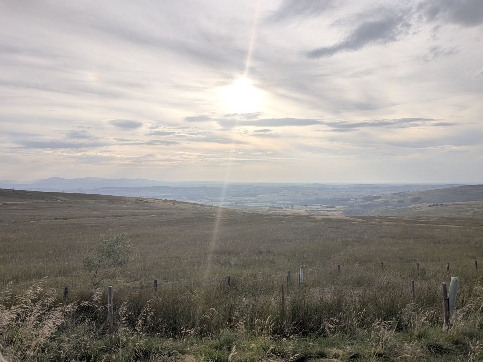
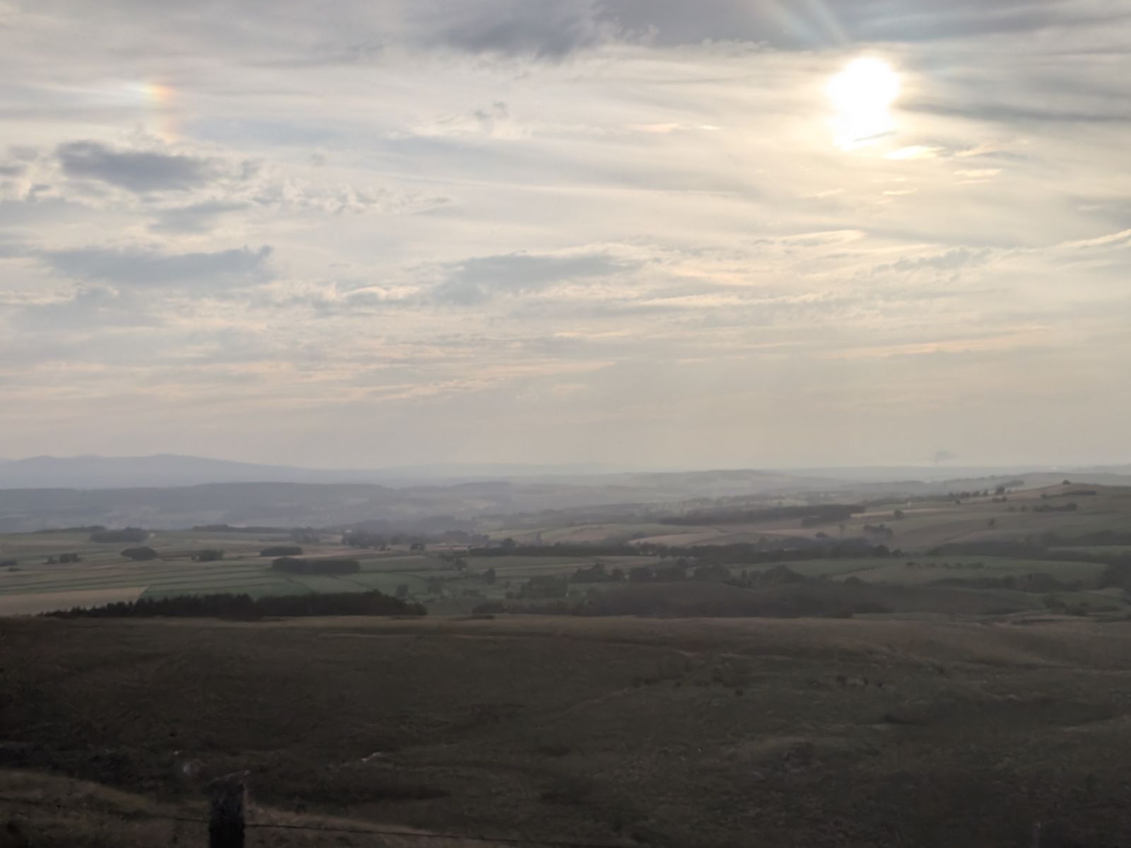
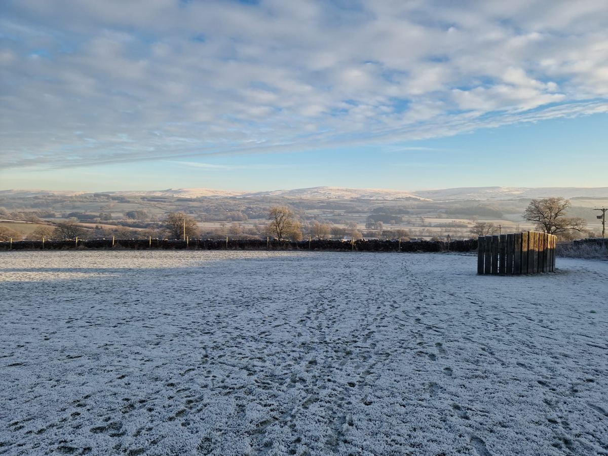
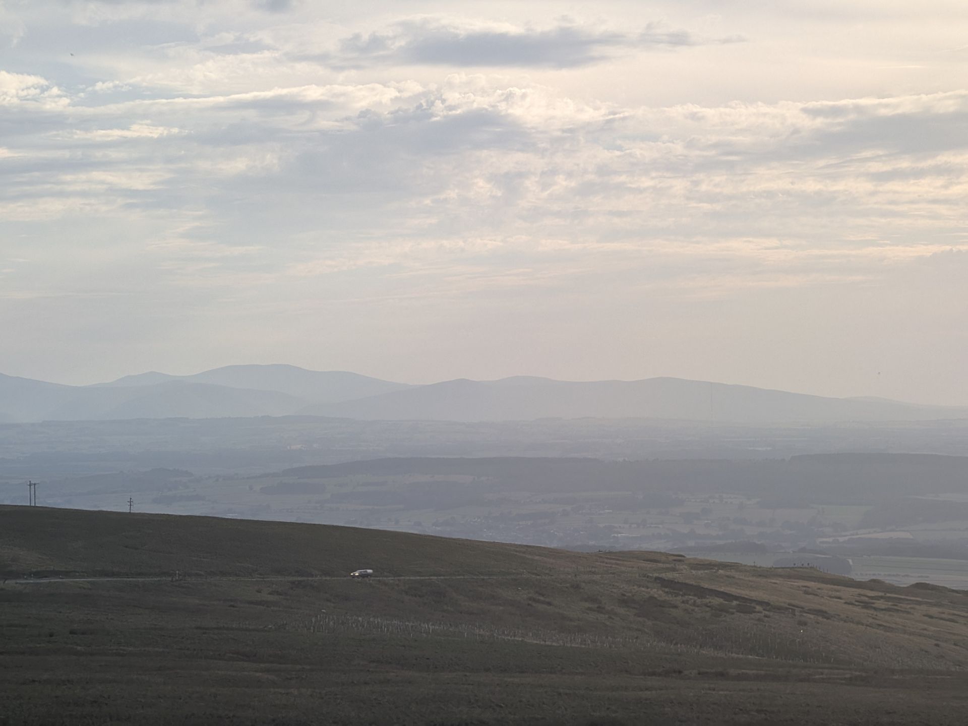
Looking out from Hartside, 12 August 2026.
The road
Hartside Pass carries the A686 over the North Pennines between Melmerby, on the Eden Valley side, and Alston. The road climbs to a summit of about 580 m (1,900 ft) and the whole of it lies inside the North Pennines National Landscape, the designation that used to be called an Area of Outstanding Natural Beauty.
From the top the ground falls away to the west and the view opens out over the Eden Valley: patchwork fields, villages and, on a clear day, layer after layer of hills fading into the distance. It is a bare, exposed place, and the weather at the summit is often a different season from the one down in Penrith.
Penrith is the natural base, and our Penrith guide covers what is around the town. By road it is about 14 miles from Penrith to the summit and about 5½ miles on from the summit to Alston.


The essentials
Distances are measured by road along the A686, from the centre of Penrith and the centre of Alston. Height is given as 1,904 ft (580 m) in a 2024 Cumberland & Westmorland Herald report and as 575 m by Climbfinder, so we say about 580 m.
Before you go
The A686 over Hartside is a remote road and there is no cafe at the top, so fill the tank and bring food and a flask. Prices and opening hours change, so check before visiting. The nearest places to fill up are below.
Spar Alston, Townfoot, Alston: a large Spar with a deli and butcher’s counter and fuel on the forecourt. what3words ///brimmed.salt.transcribes
Asda Express (Esso), Bridge Lane, Penrith, CA11 8JB.
Kirkby Thore Filling Station, A66, Kirkby Thore, CA10 1XD, on the way towards Scotch Corner.
The Spar is our pick for food on the Alston side while the summit cafe is gone. With its deli and butcher’s counter, it is the best food stop on that side of the hill.
Pubs. There are two pubs called the Shepherds Inn on this road, and they are different places. The Shepherds Inn, Melmerby (CA10 1HF) stands at the foot of the Melmerby side of the climb; its website says it is closed for refurbishment until 21 October 2026. The Shepherds Inn, Langwathby (CA10 1LW) is on the village green at Langwathby, on the A686 towards Penrith, and is listed as trading by CAMRA and Visit Lake District. On the far side of the hill, Alston has several pubs. Check opening times with each pub before you set out.
At the top
Is there a cafe at Hartside Pass? No, not at present. The cafe at the summit was gutted by fire in March 2018, according to press reports and the cafe’s own page. When we were up on 29 September 2026 the site was still rubble. We saw nothing built and no sign of work.
The cafe had a long history. According to the applicants’ consultant, the site began as a transport cafe in 1910, became the Helm Wind Cafe in 1934 and the Summit Cafe in 1957. It was long billed as the highest cafe in England.
Is Hartside Cafe being rebuilt? The documented position is as follows. A Penrith developer, Dawn Dixon, bought the burnt-out site in 2019, according to press reports. Westmorland and Furness Council approved a rebuild on 31 May 2024, according to press reports: a steel and glass building, with a 12-hour opening restriction imposed by the council. In 2025 the owners’ family announced they would break ground “this year”. Nothing had been built when we visited.
What are the plans for Hartside Cafe? Those are the plans as reported: the steel and glass rebuild with the council’s opening-hours condition. We can’t give you a start date or an opening date, and there is no menu or opening time to quote. If you are planning a trip around it, check before visiting.
On two wheels
Hartside is a regular ride for local cyclists, and the climb can be approached from five different sides. Climbfinder lists all five and says Gamblesby is the most popular. These are its figures, so treat them as Climbfinder’s and not ours.
| Side | Length | Ascent | Average | Steepest segment |
|---|---|---|---|---|
| Melmerby (A686) | 7.7 km | 394 m | 5.1% | 8.6% |
| Gamblesby | 7.0 km | 384 m | 5.5% | 12.6% |
| Renwick | 6.5 km | – | 5.8% | 10.3% |
| Leadgate | 6.9 km | 272 m | 4.0% | 9.9% |
| Alston (A686) | 8.9 km (5.5 miles) | 299 m (981 ft) | 3.4% | 6.9% |
Source: Climbfinder. Renwick’s ascent is not given.
How steep is Hartside Pass? On Climbfinder’s numbers the two A686 sides average 5.1% from Melmerby and 3.4% from Alston, with steepest segments of 8.6% and 6.9%. The steepest figure in the table is 12.6%, on the Gamblesby side.
Is Hartside Pass difficult? Going by those figures, it is a long steady climb and not a short sharp one, even on the harder sides. In our experience, what makes it hard is usually the weather and exposure at the top, so wrap up and check the forecast first.
The Pennine wind
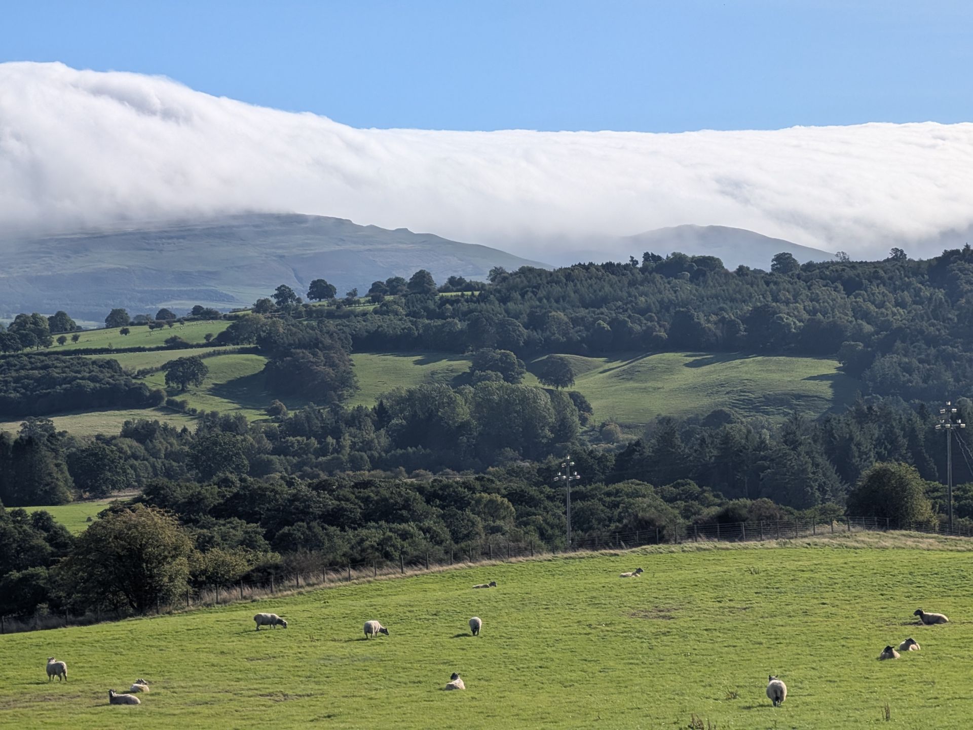
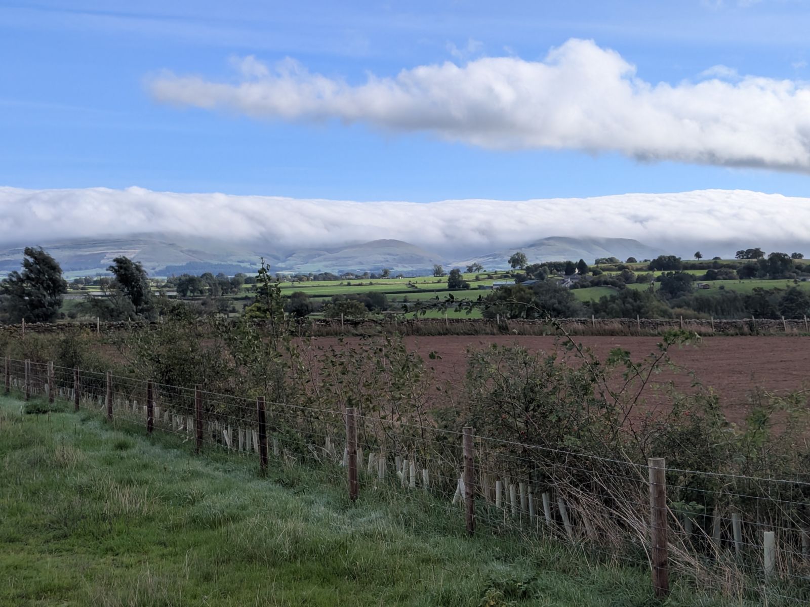
The Met Office calls the Helm Wind “the only named wind in the UK”. It describes it as a strong north-easterly wind hitting the south-west slopes of Cross Fell in Cumbria, which is the escarpment that rises above the Eden Valley.
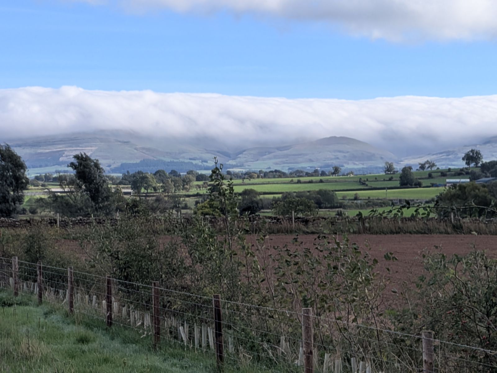
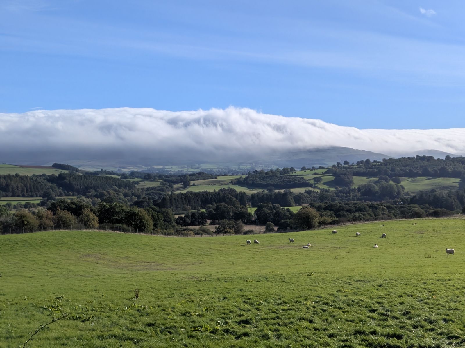
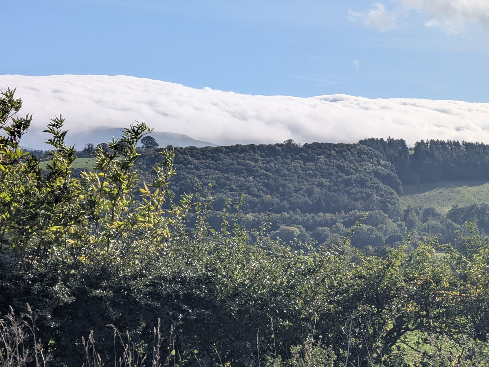
We photographed the Helm on 29 September 2026. The Met Office says the Helm Wind is most common in late winter and spring. When it blows, a heavy bank of cloud, the ‘helm’, rests along or just above the Cross Fell range. A slender, nearly stationary roll of whirling cloud, the ‘helm bar’, appears parallel with the helm, above a point 1 to 6 km (up to 3 miles) from the foot of the fell.
The Met Office adds that the wind can be very gusty as it blows down the steep fell sides but ceases under the helm bar cloud. It explains the cloud as a lee wave: air squeezed over high ground and rising again, with cloud forming where the wave crests.


Why is it called the Helm Wind? The Met Office uses ‘helm’ for the cloud bank on the ridge, and the wind takes its name from it. Is the Helm Wind hot or cold? The Met Office describes a strong north-easterly wind that is most common in late winter and spring.
Can I see the Helm Wind today? No page can tell you that. The Met Office says it is most common in late winter and spring, and the cloud to look for lies along the Cross Fell escarpment.
Before you set off
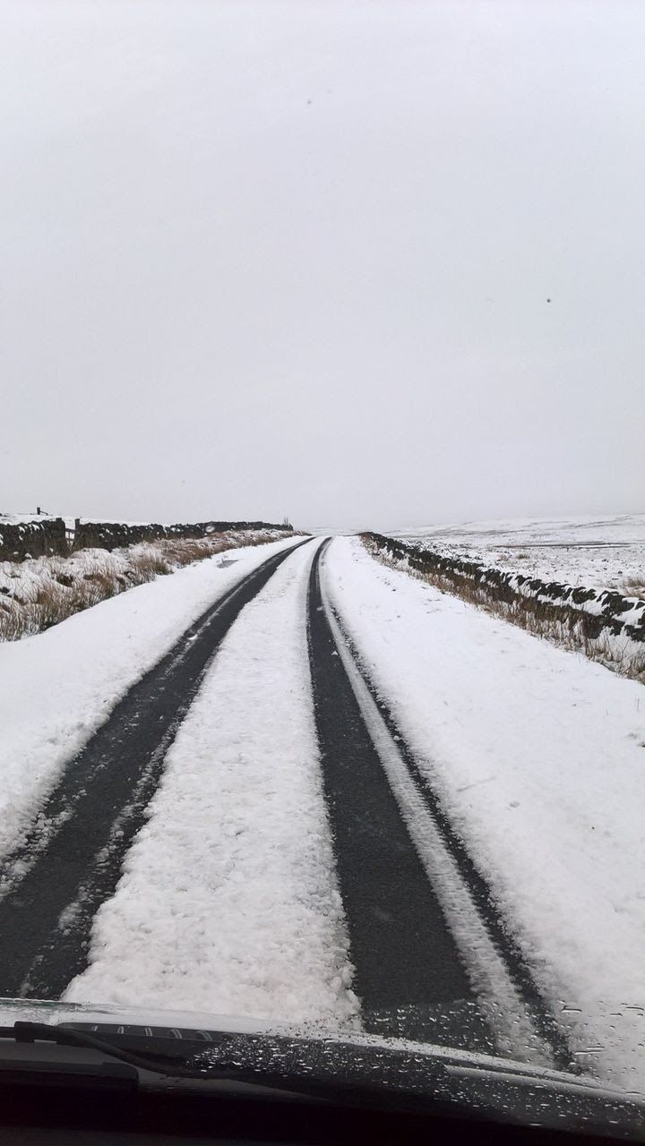
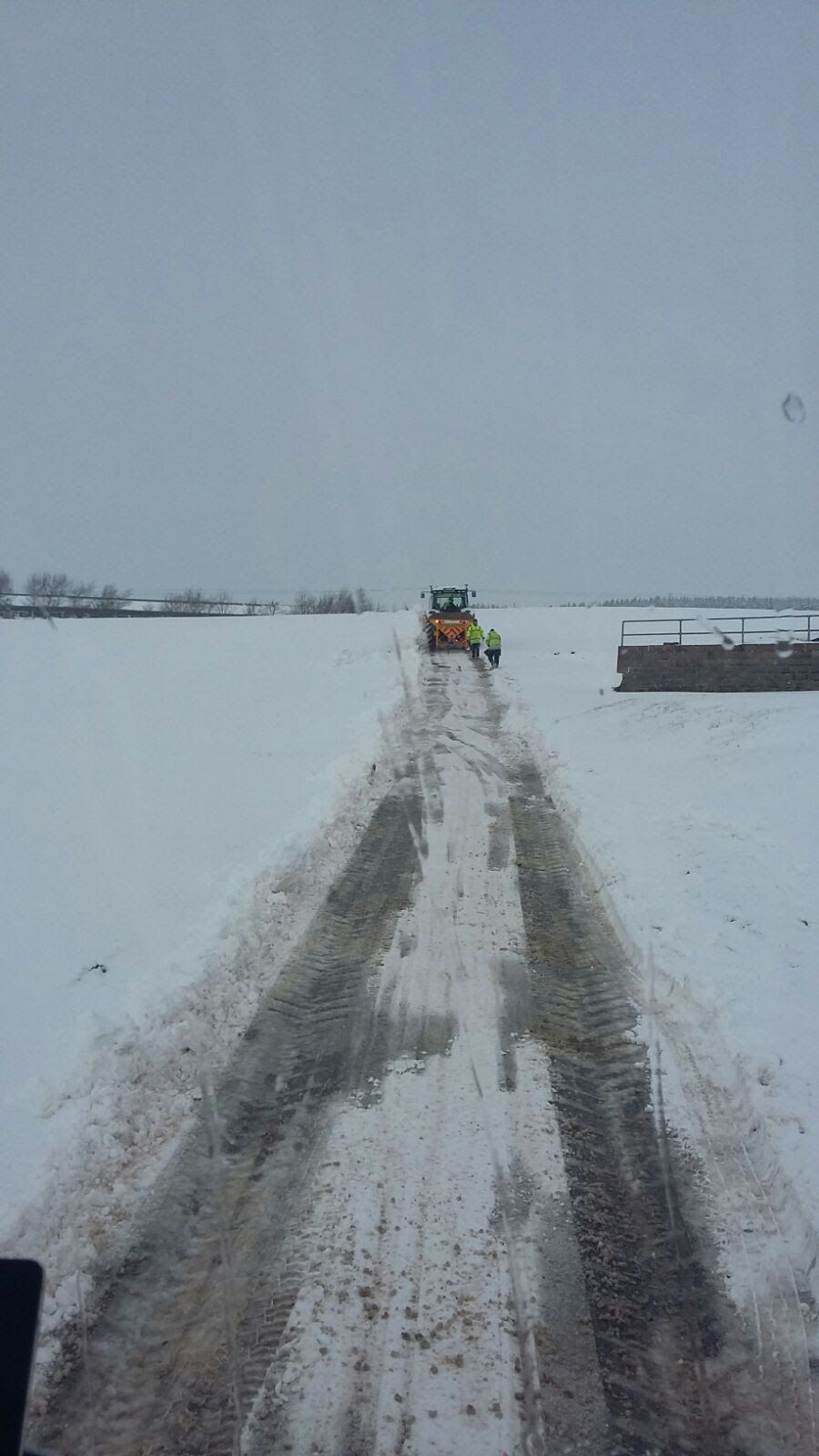
Is Hartside Pass closed? This page can’t tell you whether the road is open right now, and you shouldn’t trust any page that claims to. The A686 over Hartside closes in snow, and the summit catches the weather long before the valley does. In heavy snow, don’t attempt it, and take great care in any wintry conditions. Westmorland and Furness Council is the highway authority for the road.
Westmorland & Furness Council: road maintenance, closures and improvements.
Westmorland & Furness Council: winter road maintenance and the gritting map.


There is a slope just below the cafe site that is popular for sledging when there is snow, at ///rivers.nips.walled. It sits beside the A686, so sledge well away from the road, park only where it is safe and legal, and don’t attempt the drive up in heavy snow.
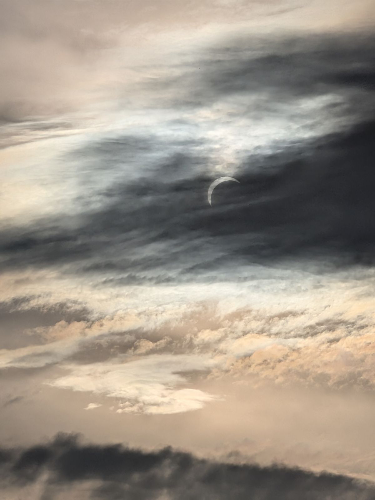
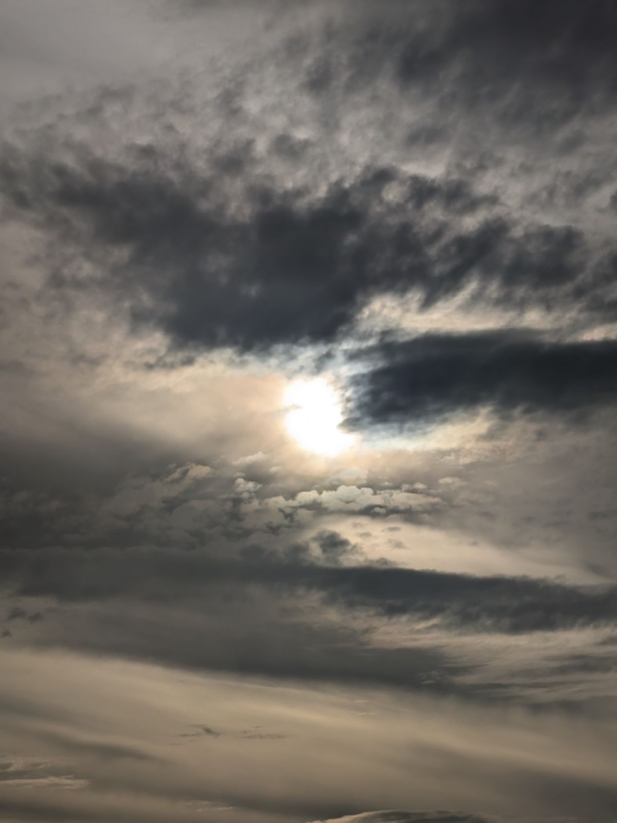
We watched the partial solar eclipse from Hartside on 12 August 2026, in the evening. The sun was in cloud and a thin crescent showed through it. Never look directly at the sun, even when it’s mostly covered.


Common questions