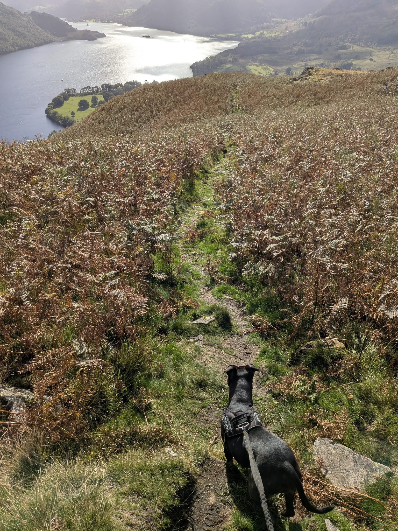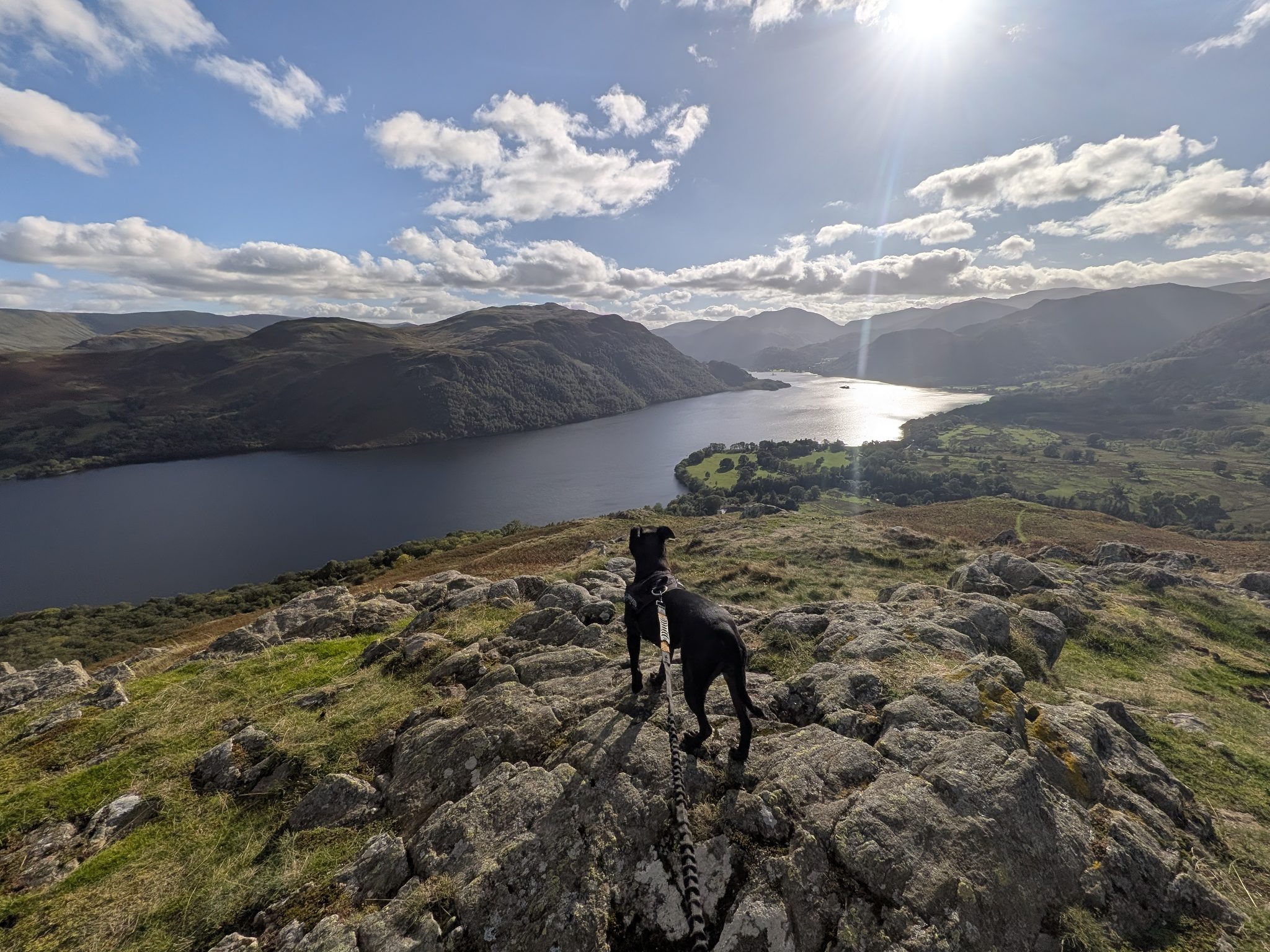
A black Staffordshire Bull Terrier on a lead standing on a rock outcrop above a long lake, with fells beyond under a bright sky.
Eastern Fells · 481 m · Above Ullswater

Gowbarrow Fell

Our favourite walk, with the best views. We started at High Cascades, went over the trig point to the cairn on Green Hill, and came back up beside the cascades instead of along the road.
Written and walked by Peter Walked Saturday 3 October 2026
6 km

Our circuit · 3¾ miles

~315 m

Ascent

481 m

Summit · 1,579 ft

3 hrs

Allow

Why this way round

Gowbarrow Fell walk: start at High Cascades, not at Aira Force

Gowbarrow Fell is 481 m (1,579 ft), a Wainwright in the Eastern Fells, with an Ordnance Survey trig pillar on the summit. The National Trust owns the fell. We walked it on Saturday 3 October 2026, Peter, Ellie and Cass (on the lead throughout), and it is our favourite walk, with the best views.

Most guides start at the main Aira Force car park. We started at High Cascades car park on the A5091 and would recommend doing it our way. The climb is steep whichever way you do it, but from High Cascades you are already half way up the hill, and you come back up beside the cascades, so you never walk back along the road from the very bottom after already doing a fell. The walk alongside the cascades is absolutely beautiful.

Start at Aira Force, or walk it the opposite way, and the climb is steep and harsh. The way we walked it has steps, including the zig-zag steps at the top that make the toughest point a lot easier. The other way is a lot of grass and mud, with no steps or concrete. Our route, step by step.

Getting there & parking

High Cascades car park

We parked at High Cascades car park, a National Trust pay and display car park on the A5091, the Dockray road. The Visit Lake District listing gives it 35 spaces and says it can fill by about 10am at peak times. National Trust members park free. The same listing says payment is by coins or the PayByPhone app, and warns that mobile coverage there is patchy. For current charges, check the National Trust.

what3words
///tortoises.reporter.romance
Road
A5091 (the Dockray road)

Park Brow is the other small National Trust car park on the same road. The main Aira Force car park is at the A592/A5091 junction.

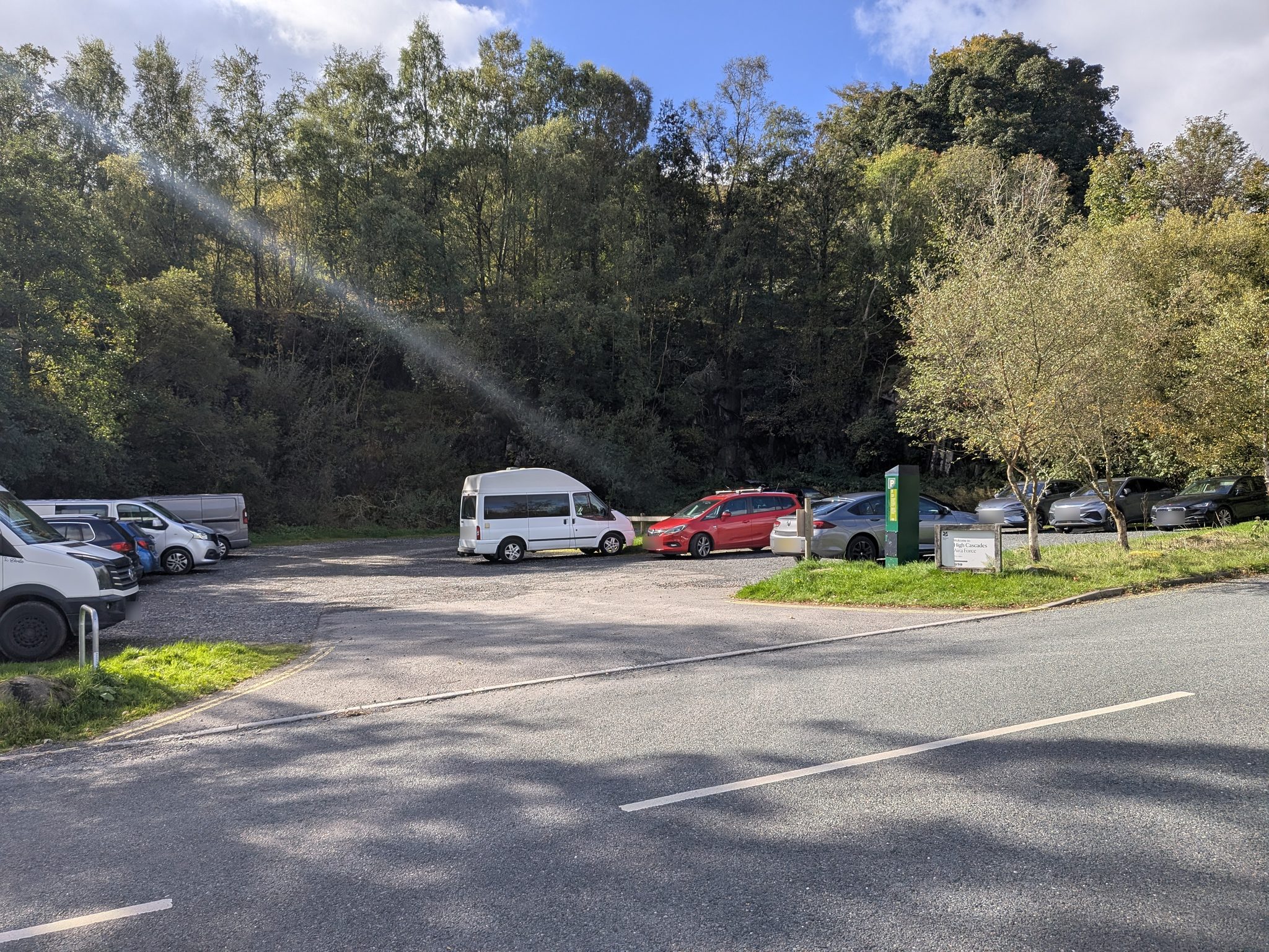
A small tree-lined car park seen from the road, with parked cars and a pay station.
High Cascades car park on the A5091, where the walk starts and ends.

Step by step

Gowbarrow Fell walk: our route from High Cascades

Peter, Ellie and Cass walked this circuit on Saturday 3 October 2026, clockwise: about 6 km / 3¾ miles, roughly 315 m of ascent, summit 481 m, allow 3 hours. We left the car park at 13:18 and were back at 16:12. what3words are printed at each point below.

  1. 1

    Start at High Cascades car park

    Park at High Cascades car park on the A5091. The fingerpost on the route also reads High Cascades Car Park. what3words for the car park: ///tortoises.reporter.romance.

  2. 2

    Through the first gate

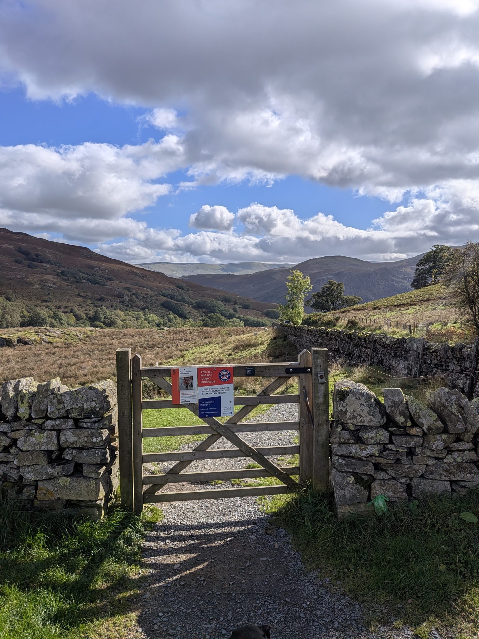
    The first gate carries a Patterdale Mountain Rescue sign that gives its own location: OS grid ref NY397210 and what3words ///alley.clubs.dished, as printed on the sign. The same gate has a National Trust notice asking you to keep your dog on a lead, and a dogs-on-leads plaque. Cass was on the lead from here to the end.

  3. 3

    Second gate, then left to the signpost

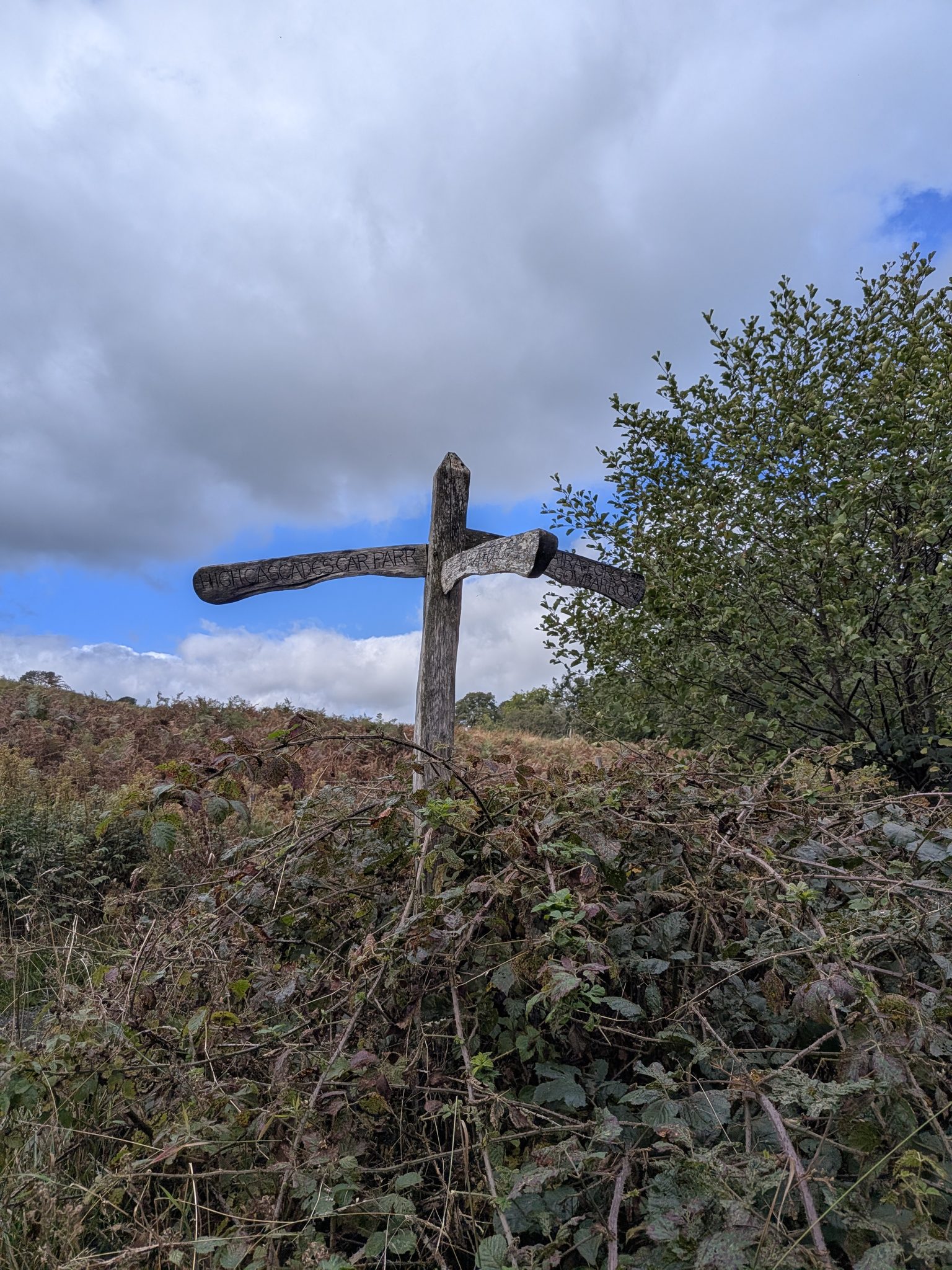
    Go down through the second gate and turn left. You come to a signpost: one way Aira Force, one way Gowbarrow. We followed Gowbarrow.

A wooden field gate in a drystone wall carrying a mountain rescue sign and a dogs-on-leads notice, open fell behind.
The first gate. The Patterdale Mountain Rescue sign on it gives the gate's own location.
A weathered wooden fingerpost with carved lettering above bracken and brambles.
The signpost after the second gate. We followed it for Gowbarrow.
  1. 4

    Over the bridge to High Cascades

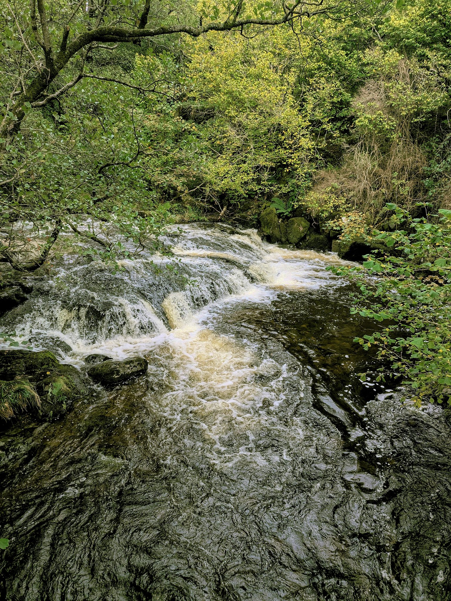
    Cross the bridge. The first of the High Cascades is a few minutes into the walk, white water running over dark rock steps under the trees. They are the smaller falls beside this path, not Aira Force.

  2. 5

    Climb to the summit

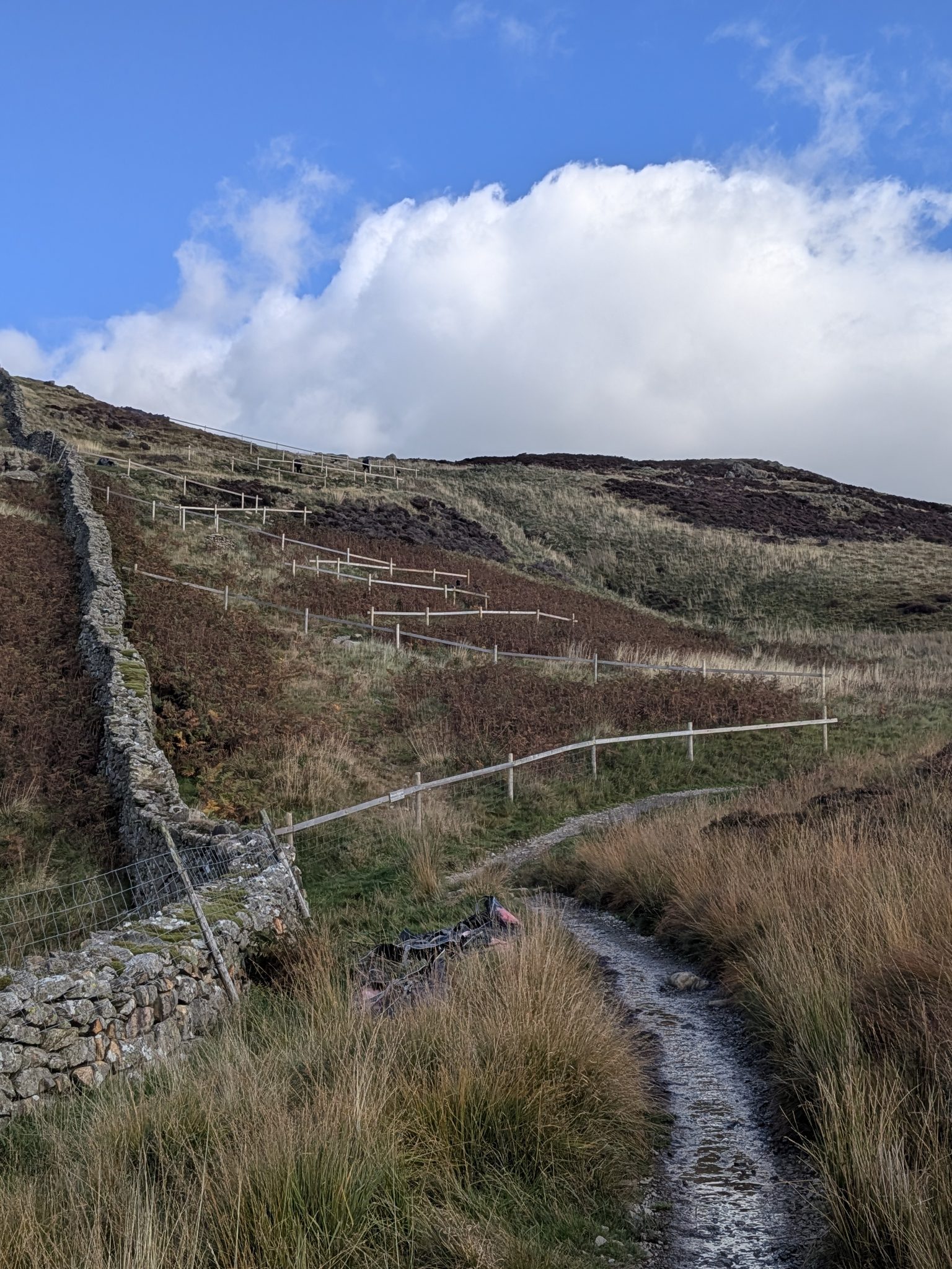
    From here the path climbs beside a wall, and Ullswater opens up behind you as you gain height. This is the steep part, and it is steps, including the zig-zag steps in the photo below at the top, which make the toughest point a lot easier. It took us about 50 minutes from the car to the trig point, which we reached at 14:08. From the summit you can see as far as Penrith in the distance, and Lake Ullswater.

White water running over dark rock steps under overhanging trees.
High Cascades, a few minutes into the walk.
A gravel path beside a drystone wall, with a zig-zag line of fenced steps climbing the bracken hillside ahead under a large white cloud.
The path up beside the wall. The zig-zag steps climb the hillside ahead.
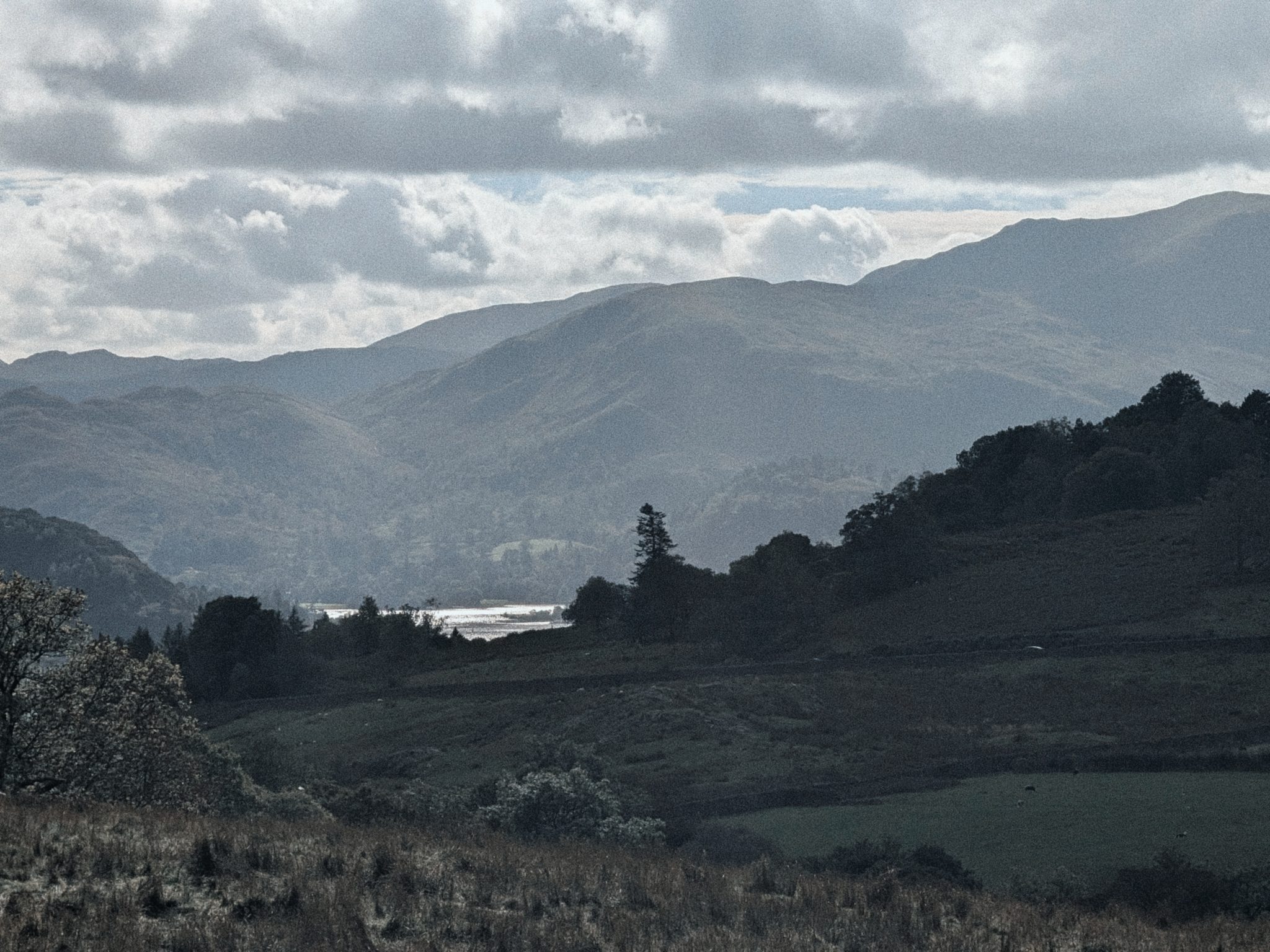
A distant strip of lake glinting between dark wooded hills under heavy cloud, with layers of fells beyond.
Ullswater in the distance, from the climb.
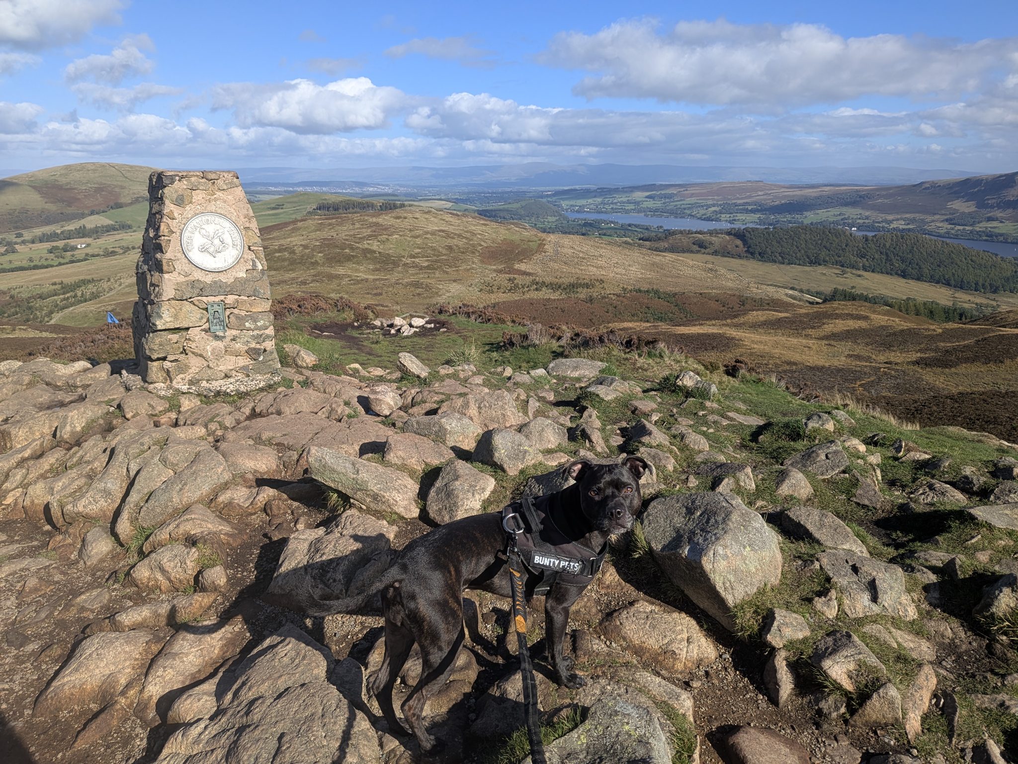
A black Staffordshire Bull Terrier on a lead beside a stone trig pillar on a rocky summit, open country beyond.
Cass at the trig point on the summit of Gowbarrow Fell.
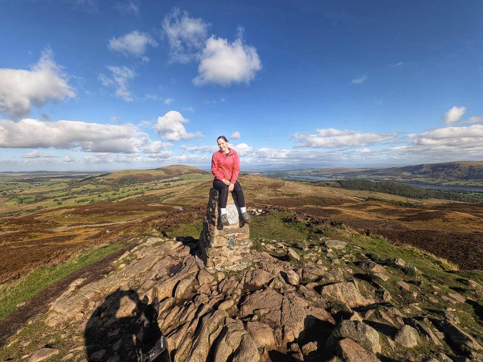
A woman in a red jacket sitting on a stone trig pillar on a rocky summit under a blue sky.
Ellie on the trig point.
  1. 6

    Across the top, heading south

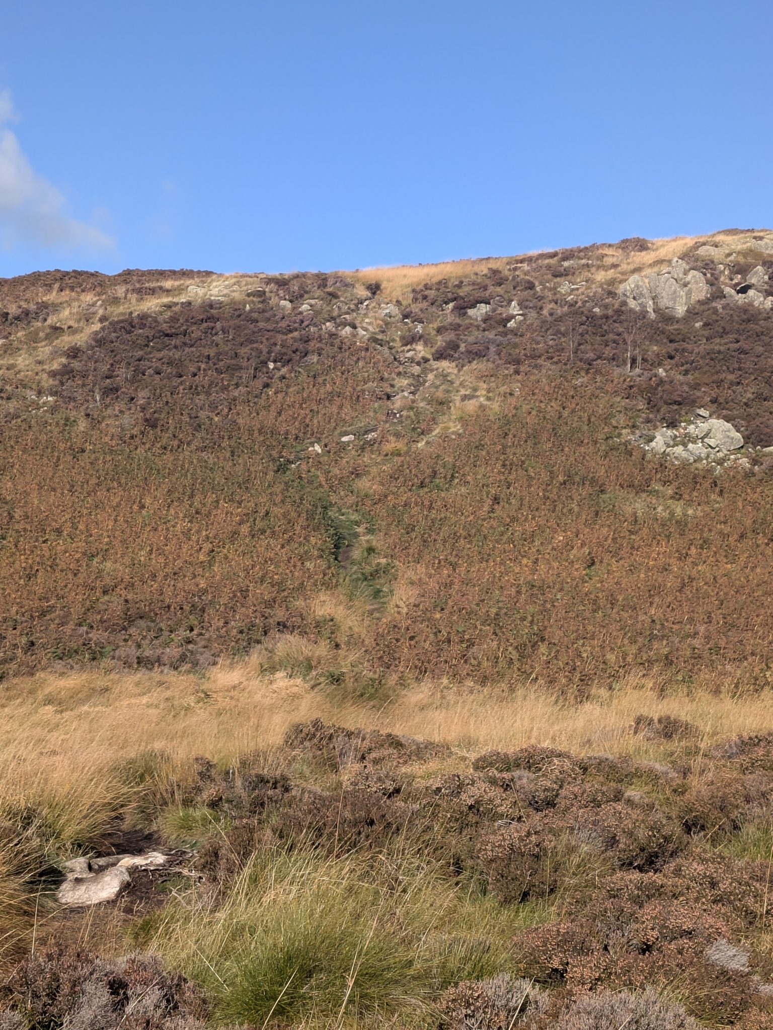
    From the summit, heading across the top of the fell, it was boggy on 3 October. On the way across there is a steep drop that is quite easy to navigate on foot but worth noticing. This is also where we missed the turn that AllTrails takes back down, and carried on along the top. Peter calls it "the best mistake I have made".

A steep bank of bracken and heather with a narrow path running straight up it.
The drop off the top, looking back up. Easy enough on foot, but worth knowing about.
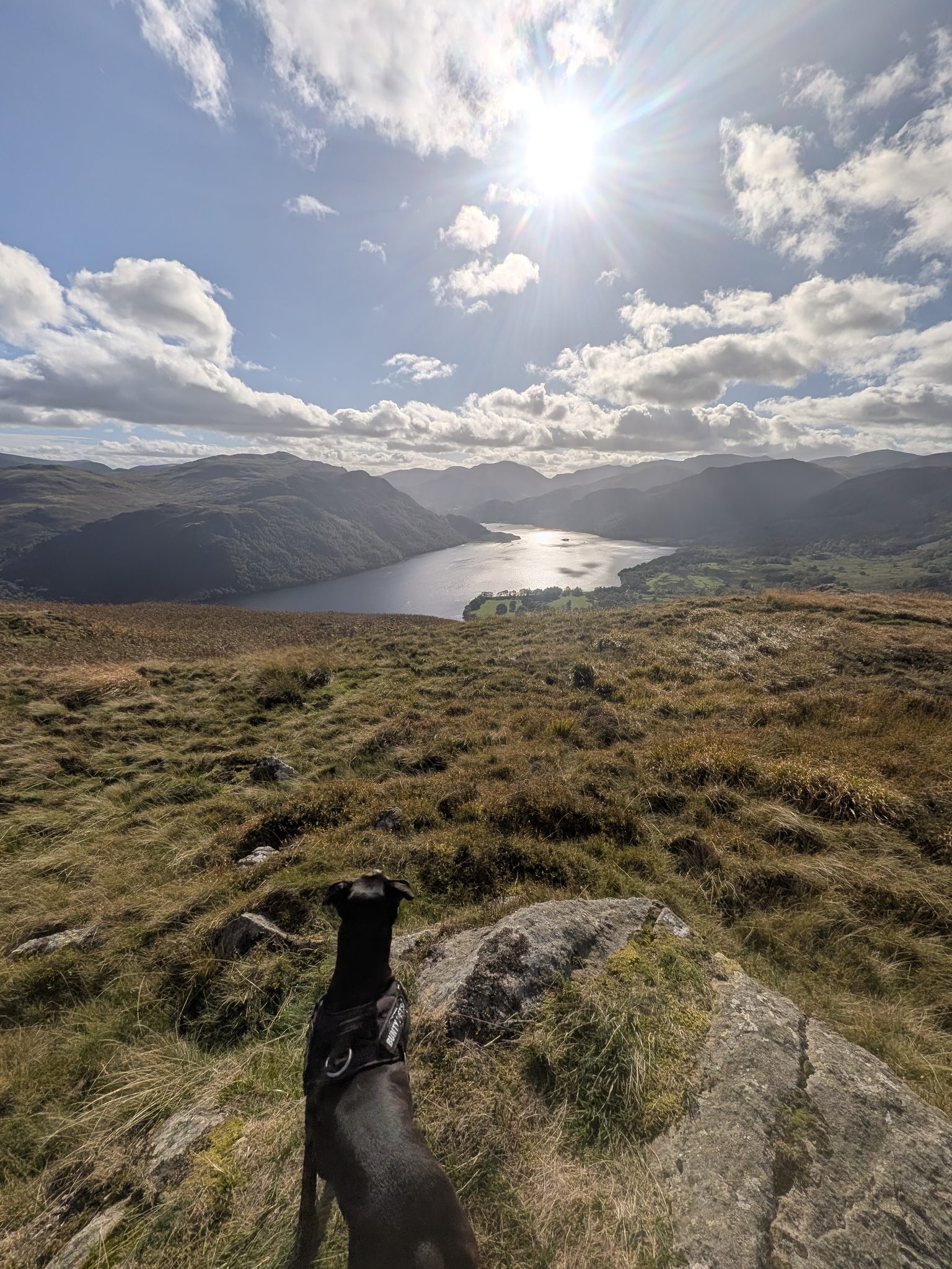
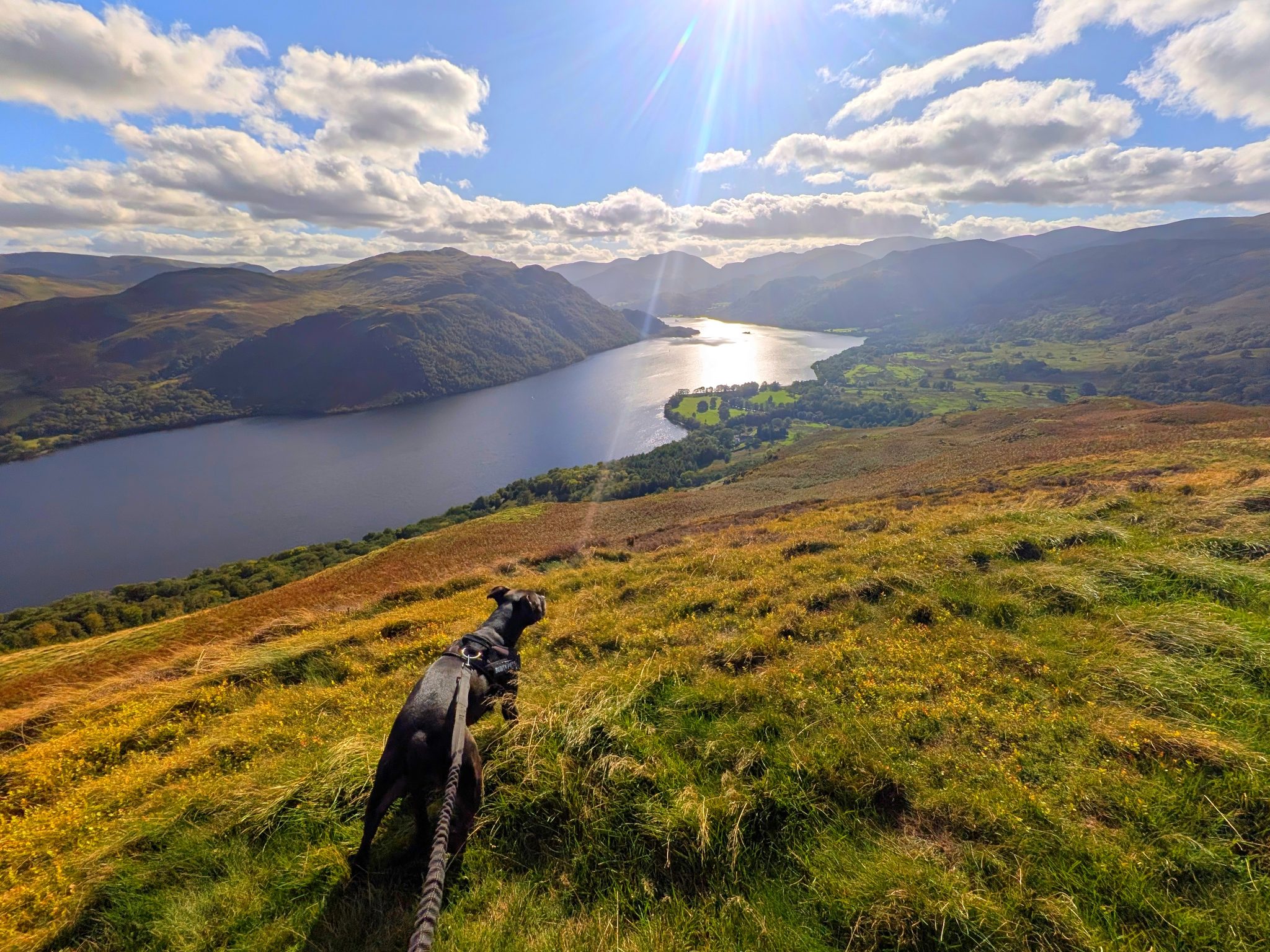
A black Staffordshire Bull Terrier seen from behind on a rocky grass slope, looking out over a long lake and fells under a bright sun.
Cass and the first full view of Ullswater, before the cairn.
  1. 7

    The second top: Green Hill

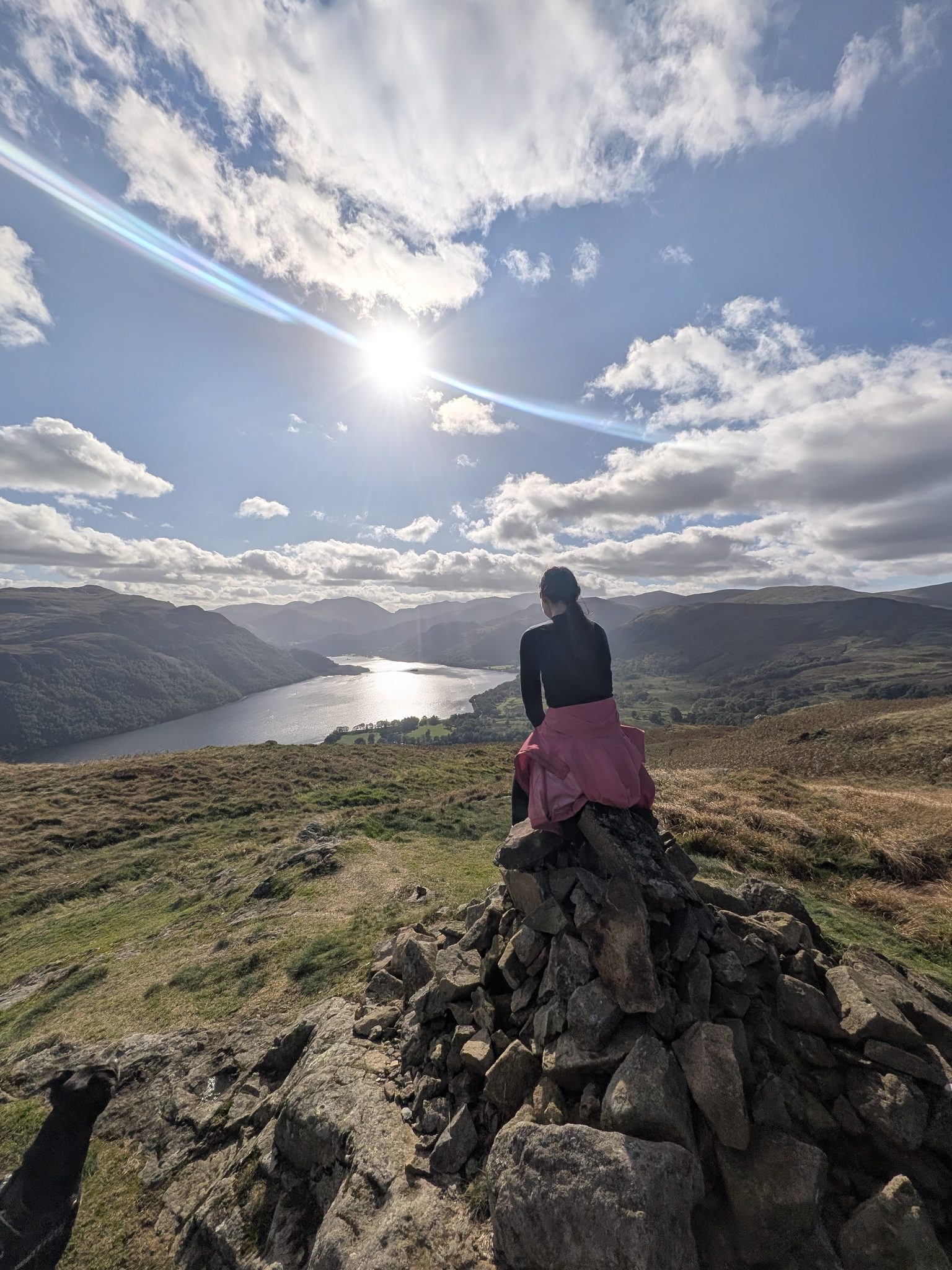
    At the cairn, ///grain.shots.headstone, at about 14:54, we stood on top and it felt like a second fell, though we did not know what it was. The hill lists name it Green Hill. More on that in the four tops below.

  2. 8

    The line above Ullswater

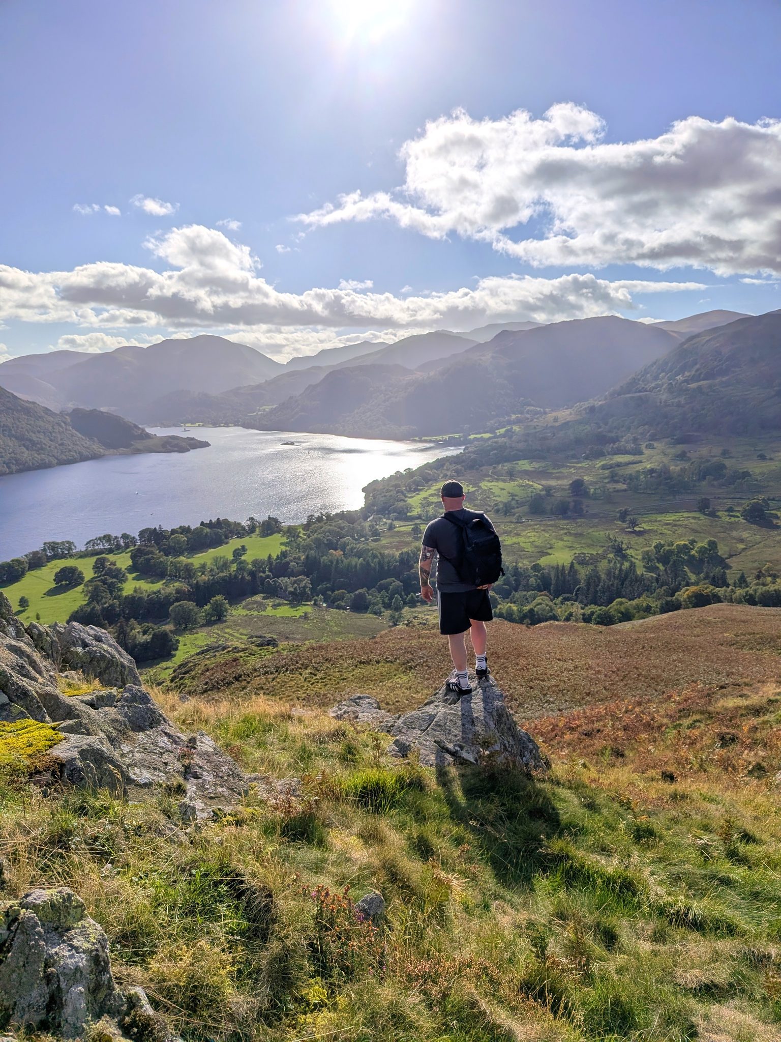
    From the cairn we headed south along the line above Ullswater, and stopped at three viewpoints in walking order: ///rumbles.headlight.foggy, ///swoop.ramming.dusted and ///avid.feels.uplifting. This is where the views are, and the reason to come this way. Peter's note at the first of them: "This is an incredible walk."

A wide panorama across grassy fell top to a long lake curving between fells.
The view from the line we took by mistake: Ullswater laid out below the fell. Swipe to see all of it.
A woman seen from behind sitting on a stone cairn, looking down a long lake towards distant fells with the sun overhead.
Ellie on the Green Hill cairn, Ullswater below.
A man with a rucksack seen from behind, standing on a rock above green fields and the head of a long lake.
Peter at the second of the three viewpoints on the way down.
A black Staffordshire Bull Terrier on a lead on a grassy slope high above a long lake.
Cass above Ullswater, just past the cairn.
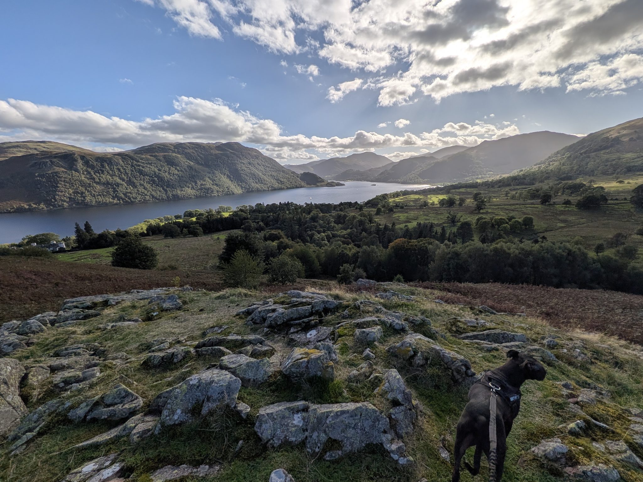
A black Staffordshire Bull Terrier beside rock outcrops above woodland and a lake.
The third viewpoint, lower down, with the lake closer.
A narrow grass path through tall bracken dropping towards a lake, with a black dog on a lead in the foreground.
The path down through the bracken, heading straight for the lake.
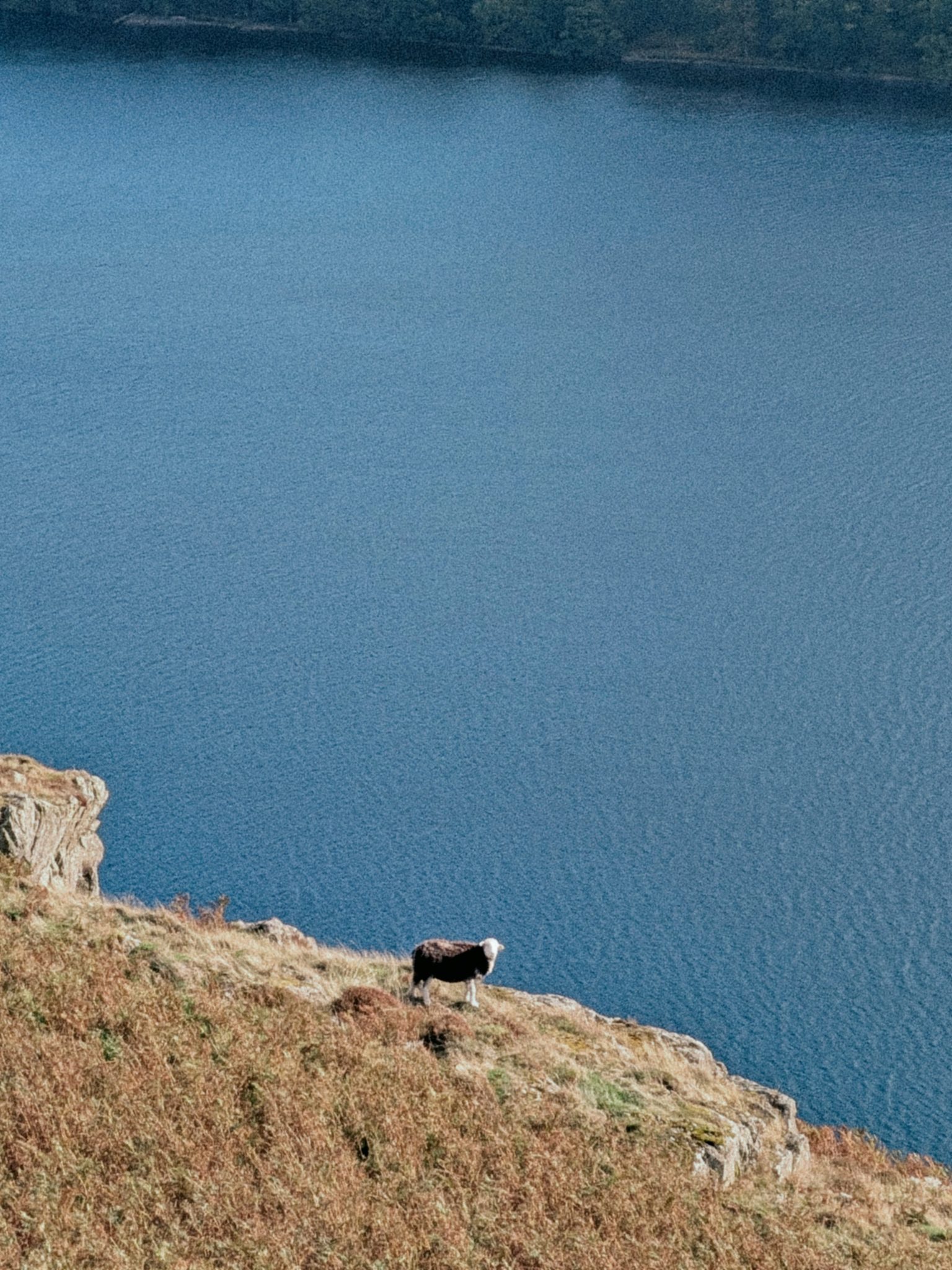
A dark-fleeced, white-faced sheep standing on a steep bracken slope above blue water.
A sheep on the edge, with nothing behind it but Ullswater.
  1. 9

    The junction: right for the easier way back

    At ///gossiped.started.doll there is a choice. Left goes to Aira Force; right is the easier way back to the car. We went right, down a rocky path through the trees.

  2. 10

    The footbridge and High Cascades

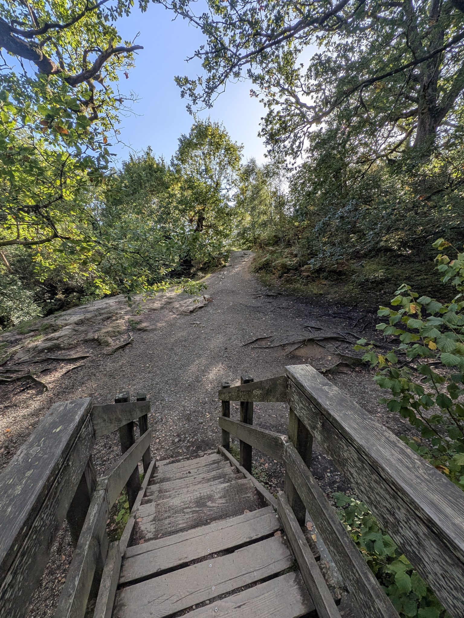
    At the wooden footbridge, ///treble.risks.roughest, you reach High Cascades again: this is the waterfall near the bridge.

Wooden steps and handrails of a footbridge leading onto a gravel path through trees.
The wooden footbridge at High Cascades.
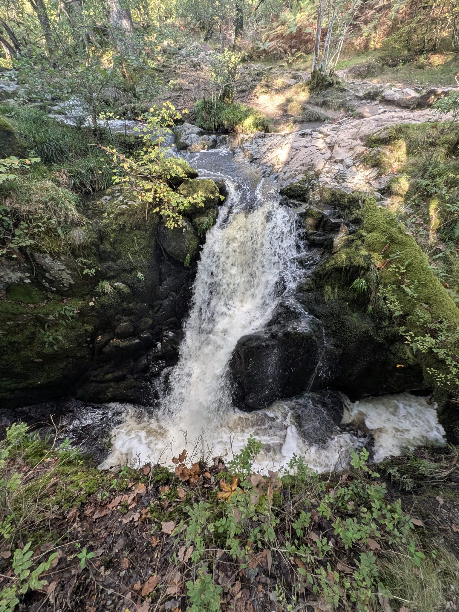
A waterfall dropping between mossy black rocks in woodland.
High Cascades: the waterfall near the bridge.
  1. 11

    Up beside the cascades to the car

    Walk up beside High Cascades to the car park. You are already half way up the hill, you stay off the road, and the walk alongside the cascades is absolutely beautiful. We were back at 16:12.

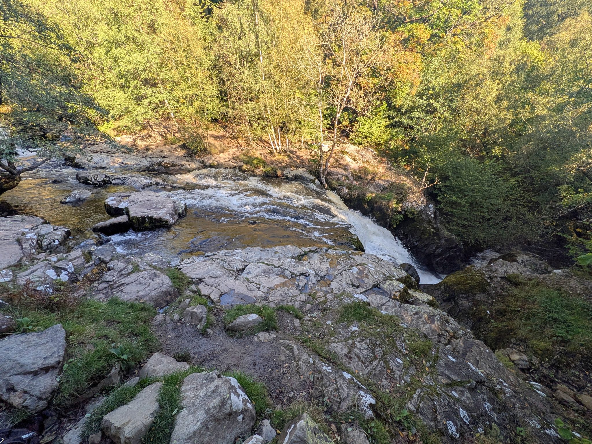
Water sliding over pale rock slabs and dropping out of sight, with autumn birch trees on the far bank.
Looking down from the top of High Cascades on the way back up to the car.

Against the AllTrails route

AllTrails' High Cascades, Gowbarrow Fell and Aira Force circular is 5.0 km with 310 m of ascent and turns back down earlier. Ours is about 0.9 km longer, and that extra distance is the reason for the views: the cairn on Green Hill and the three viewpoints above Ullswater. AllTrails sends you on another route that misses all the great views of Ullswater. Don't follow it: use ours and you will get the best views.

The four tops

The Database of British and Irish Hills lists four tops on Gowbarrow Fell: the Wainwright summit with the trig point (481 m); a separate Gowbarrow Fell entry about 100 m away; Gowbarrow Park (464 m), a grass mound; and Green Hill, the cairn. Gowbarrow Park here means that top, not the National Trust's Aira Force and Gowbarrow Park property. We stood on two: the trig point and the Green Hill cairn.

Dogs

Dogs are asked to be on leads from the very first gate, where the National Trust notice and the dogs-on-leads plaque are. There are sheep on the fell, and Cass was on the lead from start to finish.

Underfoot

It was boggy across the top on 3 October. There is a steep drop off the summit that is easy on foot but worth noticing, and the path through the woods near the end is rocky. Check the Lake District Weatherline before you go.

Nearest pub

The Royal Hotel in Dockray, about half a mile along the road from the car park, heading towards Penrith.

Aira Force

Aira Force is not on this walk. At the junction on the way down, left goes to the falls and right is the easier way back to the car. Our Aira Force guide covers the falls, and Ullswater and Glenridding have the rest of the lake. For more fells, see all our fell guides and the Wainwrights.

Common questions

Gowbarrow Fell, answered

How difficult is the Gowbarrow Fell walk?
Our 6 km circuit from High Cascades car park has about 315 m of ascent, and the climb is steep. The way we walked it has steps, including zig-zag steps at the toughest point. Across the top it was boggy on 3 October, there is a steep drop that is easy on foot but worth knowing about, and the woodland path near the end is rocky.
How long does it take to walk Gowbarrow Fell?
Allow about 3 hours for our 6 km circuit. We left the car park at 13:18 and were back at 16:12, with stops at the top. It was about 50 minutes from the car to the trig point.
Is Gowbarrow Fell a Wainwright?
Yes. Gowbarrow Fell is a Wainwright, in the Eastern Fells, at 481 m (1,579 ft). There is an Ordnance Survey trig pillar on the summit.
Is there a circular walk around Gowbarrow Fell?
Yes. Ours is a circuit of about 6 km from High Cascades car park: up to the trig point, on south to the cairn on Green Hill for the views over Ullswater, then down and back up beside High Cascades to the car. It stays off the road, and it is on this page step by step.
Is there a walk to Gowbarrow Fell from Aira Force?
Yes, and most guides start at the main Aira Force car park. We started at High Cascades instead and recommend it: you are already part way up the hill, and you finish by walking up beside the cascades rather than back along the road. At the junction on the way down, left goes to Aira Force and right is the easier way back to the car. We went right.
Where do you park for Gowbarrow Fell?
At High Cascades car park, a National Trust pay and display car park on the A5091, the Dockray road. The Visit Lake District listing gives it 35 spaces and says it can fill by about 10am at peak times. National Trust members park free; check the National Trust for current charges.
Where are the High Cascades?
The High Cascades are the smaller falls on Aira Beck, beside the path between the junction on the fell's lower slopes and High Cascades car park on the A5091. They are separate from Aira Force, which is not on our route.
How many summits does Gowbarrow Fell have?
The Database of British and Irish Hills lists four tops on the fell: Gowbarrow Fell, the Wainwright summit with the trig point; a separate Gowbarrow Fell entry about 100 m away; Gowbarrow Park, a 464 m grass mound; and Green Hill, the cairn. We stood on two of them, the trig point and the Green Hill cairn.