A lane of bay viewpoints, a private-looking gate that you do go through, a shore walk to the old chimney and a woodland climb home. Where to park, what3words and the tides.
South of Silverdale village
Jenny Brown's Point is a headland on Morecambe Bay just south of Silverdale in Lancashire, with a lone stone chimney standing on the shore. It is inside the Arnside & Silverdale National Landscape and outside the Lake District National Park.
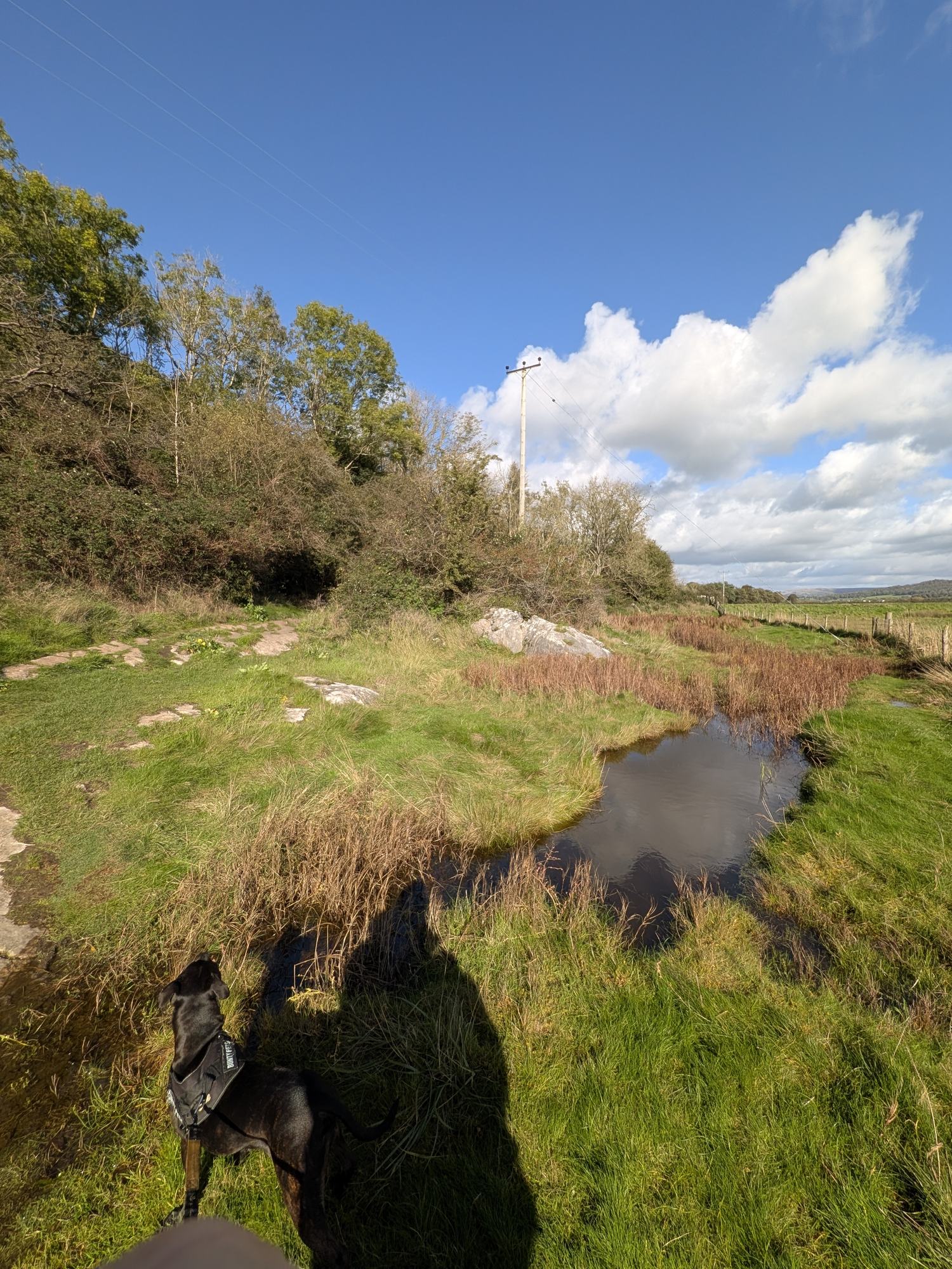
Cass and I walked it anticlockwise on a bright October lunchtime: down the lane to two benches with some of the finest views of Morecambe Bay I have seen, through the gates at the end, along the shore to the chimney, then up through the woods and back along Hollins Lane to the cafe. Just under 3 miles, about 1 hour 20 minutes with photo stops.
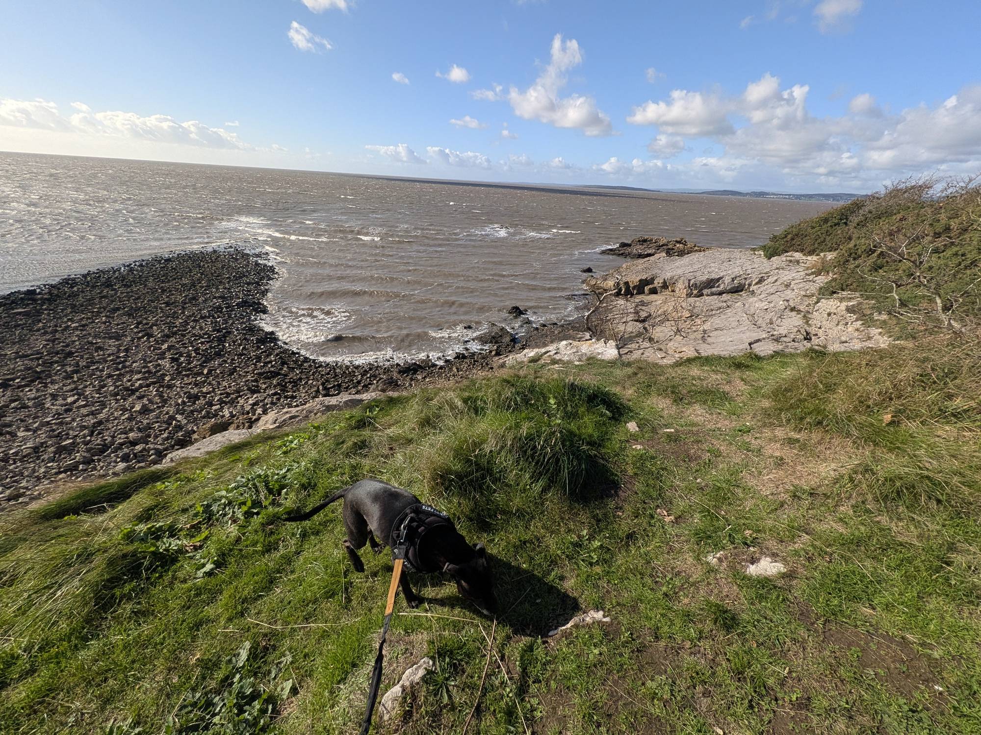
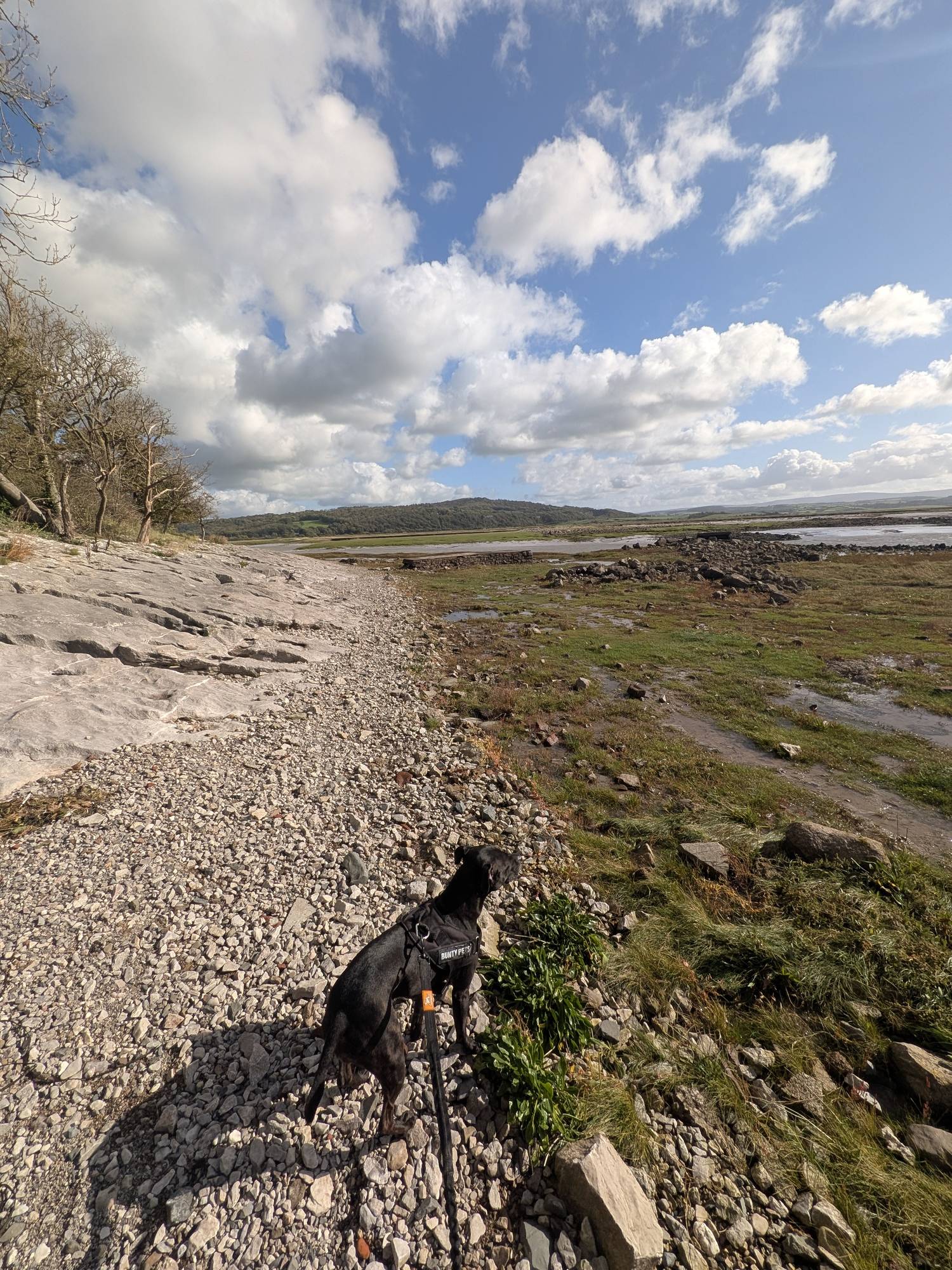
Dogs: Cass, our Staffordshire Bull Terrier, was on the lead throughout. Signs along the way ask for dogs to be kept under control.
Read this before you set off
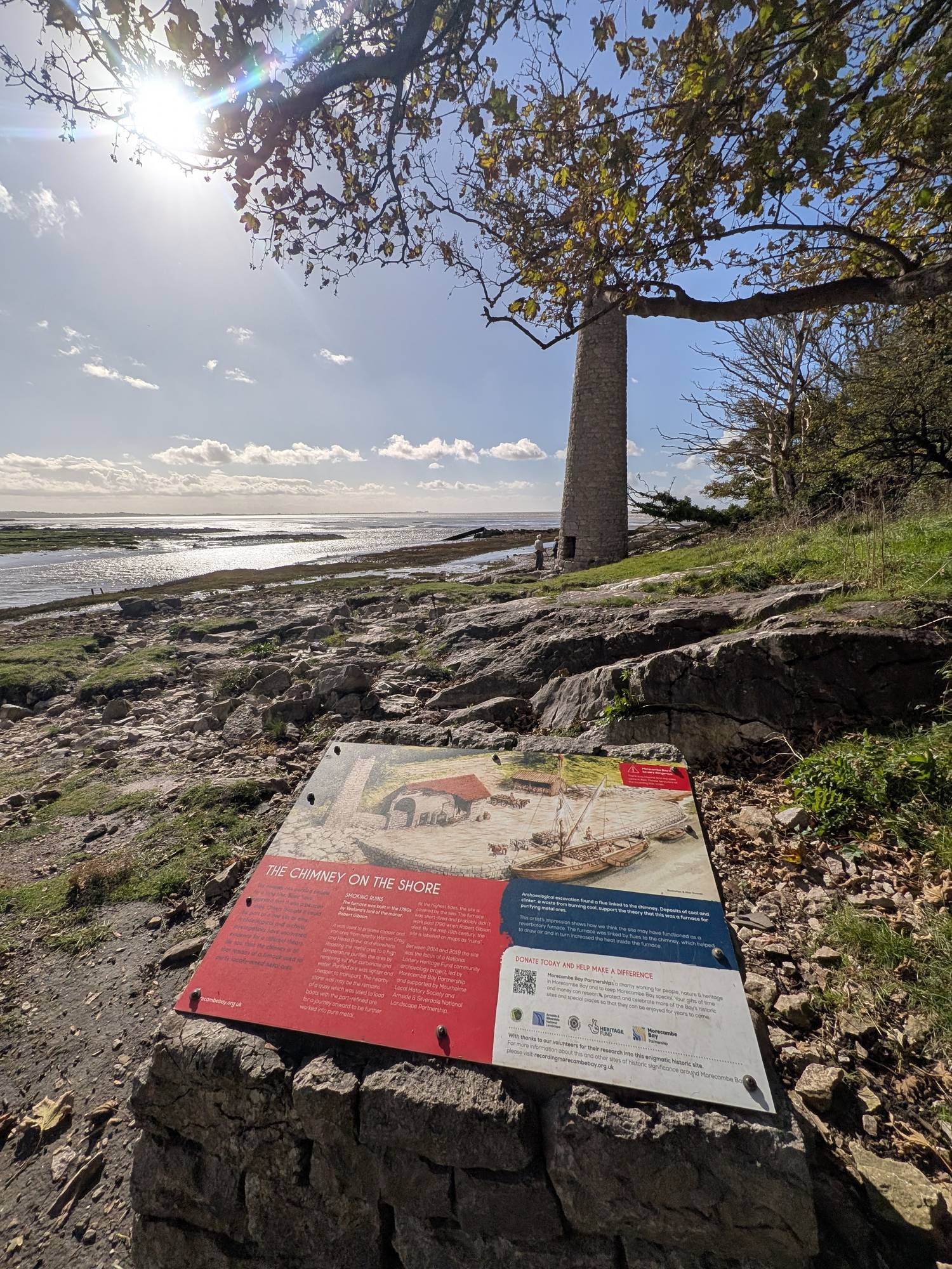
The shore section of this walk, between the gates at the end of the lane and the fingerpost after the Point, is tidal ground. The Morecambe Bay Partnership board by the chimney says: "At the highest tides, the site is covered by the sea", and warns: "There is quicksand and the tides come in fast."
The Morecambe Bay Partnership says the shore "can be cut off quickly by incoming tides": check the tide times and keep to the footpaths. The Arnside & Silverdale National Landscape warns that "channels can backfill several hours before high tide", and asks walkers to "stay close to the shore and do not walk out over the sands".
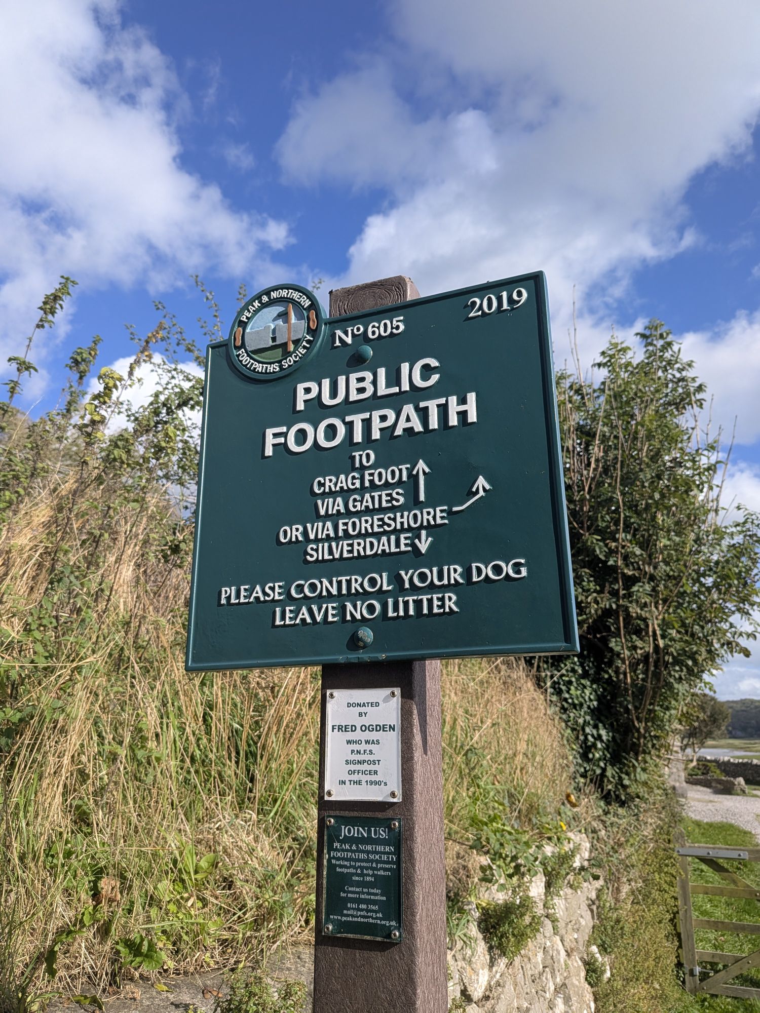
The footpath sign at the end of the lane gives two lines to Crag Foot, "via gates" or "via foreshore". Check the tide times before you commit to the shore. Limestone is slippery when wet (Arnside & Silverdale National Landscape), and so is the rock slab on the left fork after the Point. More on the bay's tides in our Morecambe Bay safety guide.
Where to start
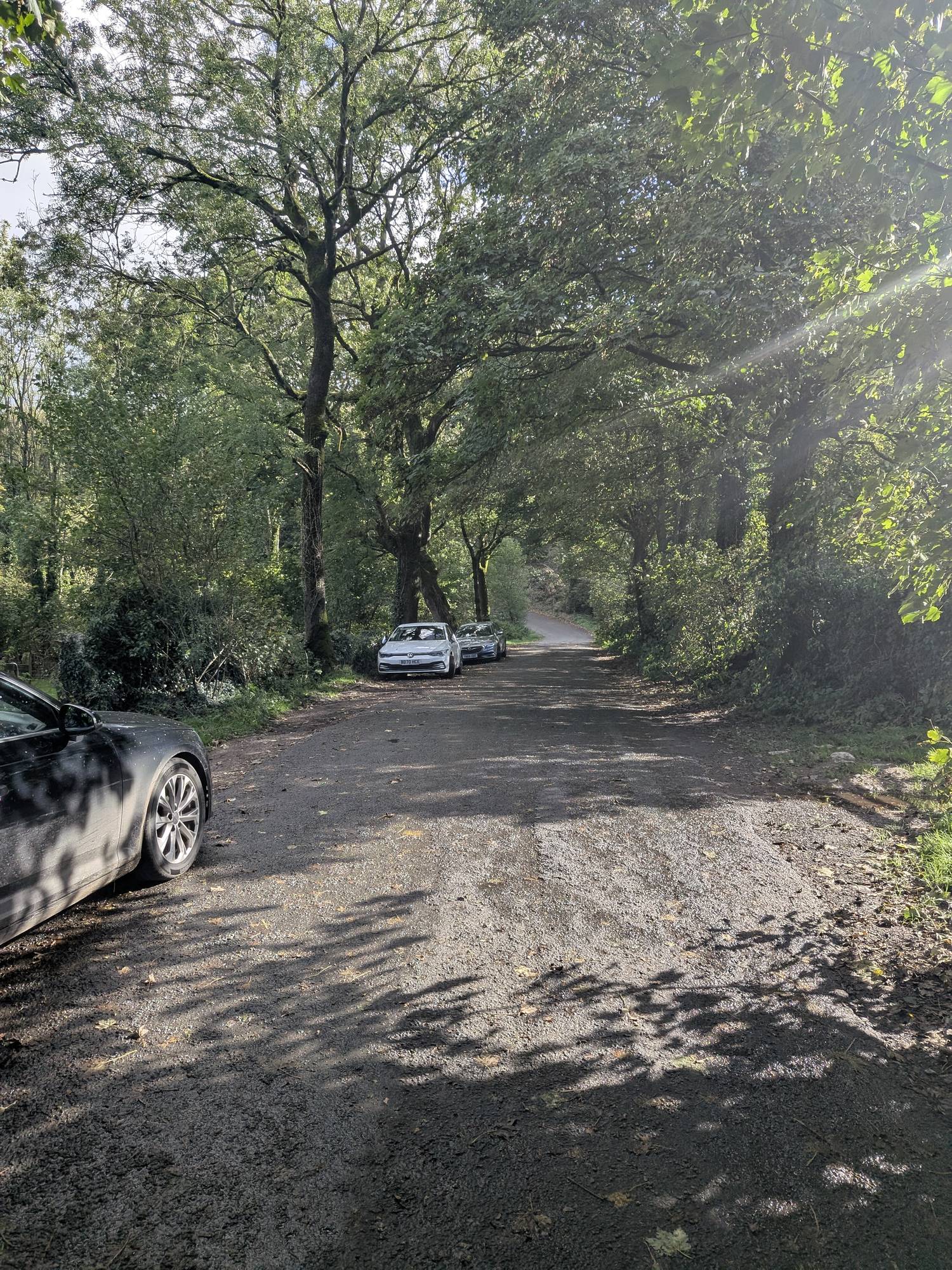
The layby by The Wolf Cafe. The layby on Hollins Lane, by The Wolf Cafe, is the one most people use, and it holds a fair number of cars. It is where we started and finished: ///searching.craftsman.struggle.
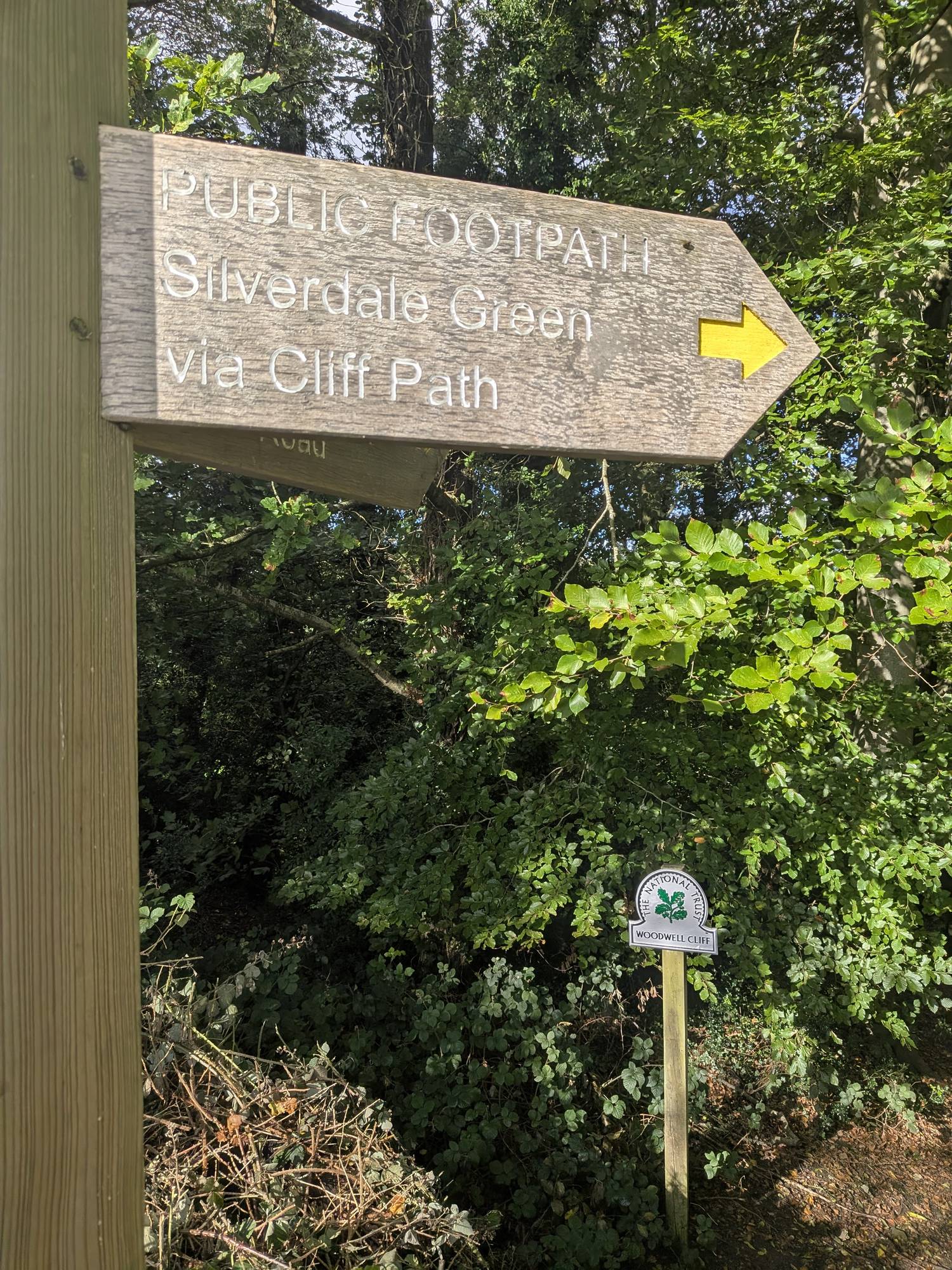
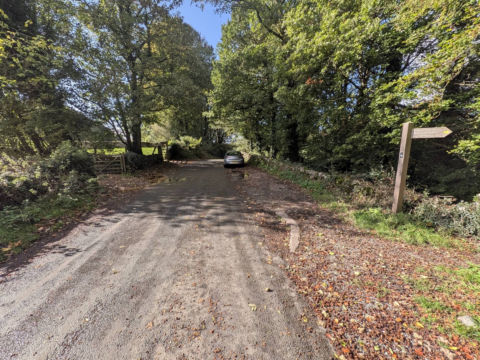
If it is full. There is a larger layby a little way back, with a fingerpost for "Silverdale Green via Cliff Path" and a National Trust Woodwell Cliff marker. It is also where people park for Heald Brow and Quaker's Stang. There is no what3words for this one.
Not at the gates. The gates at the end of the lane are signed "No parking in front of gates", and the lane is narrow.
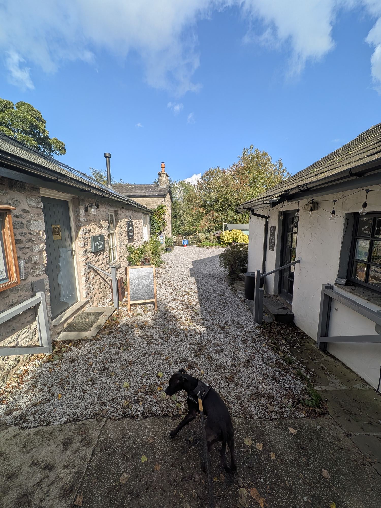
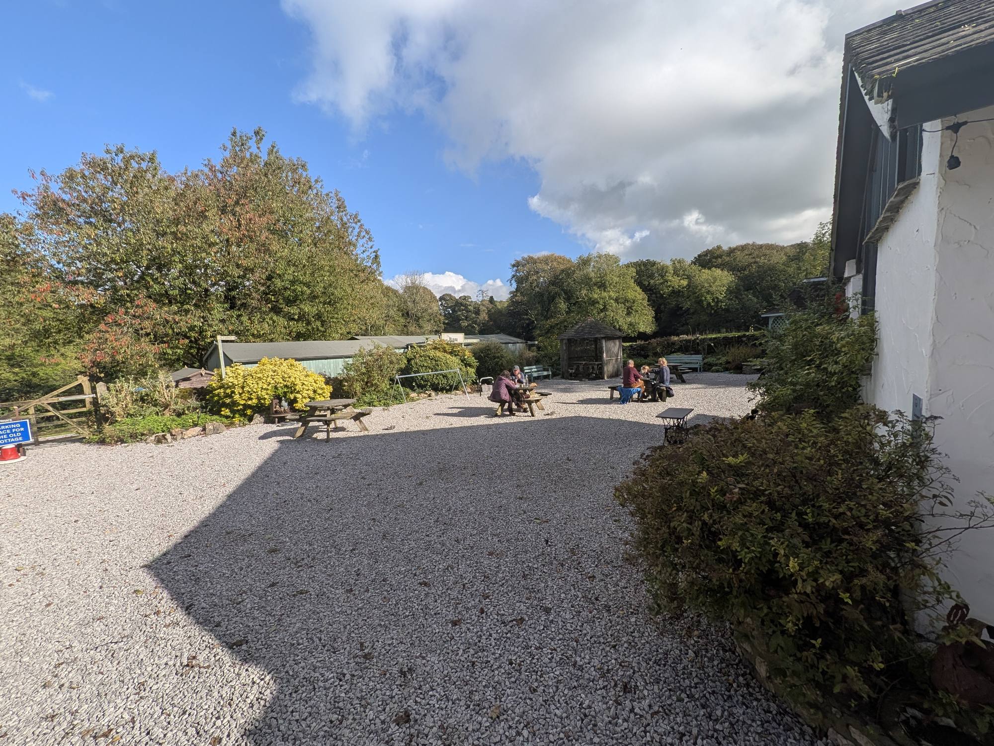
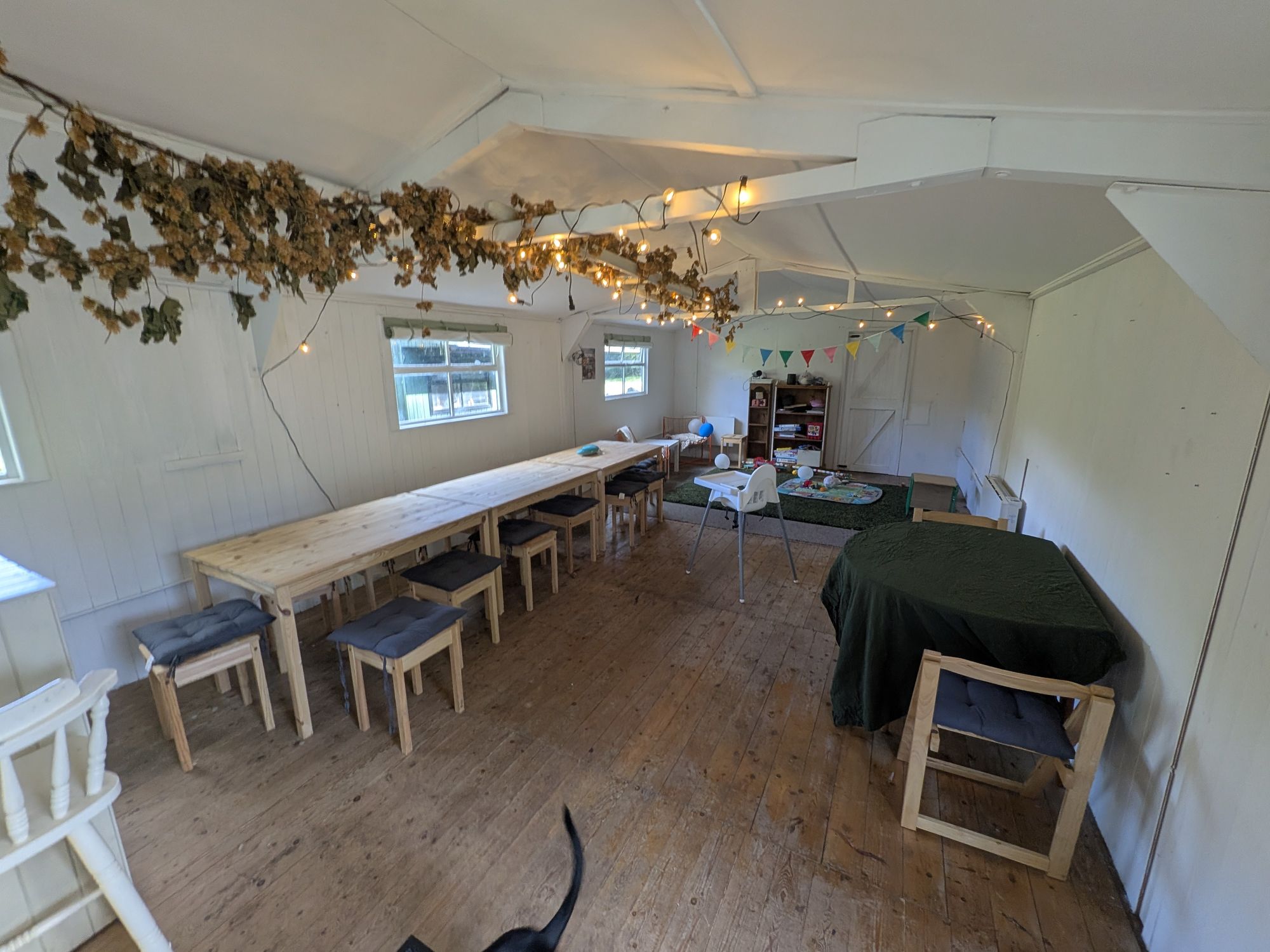
The Wolf Cafe is on Hollins Lane, right by the start, at ///sardine.unicorns.spike. It is good for walkers, and dogs are welcome in the courtyard. The Bau, the room at the end of the garden, takes larger walking groups. It is not open every day, so check before you rely on it.
Step by step
Anticlockwise: the lane and its viewpoints first, the shore and the woods second. It took us about 1 hour 20 minutes.
Park in the layby by The Wolf Cafe on Hollins Lane, ///searching.craftsman.struggle, or the larger layby a little way back if it is full (see parking).
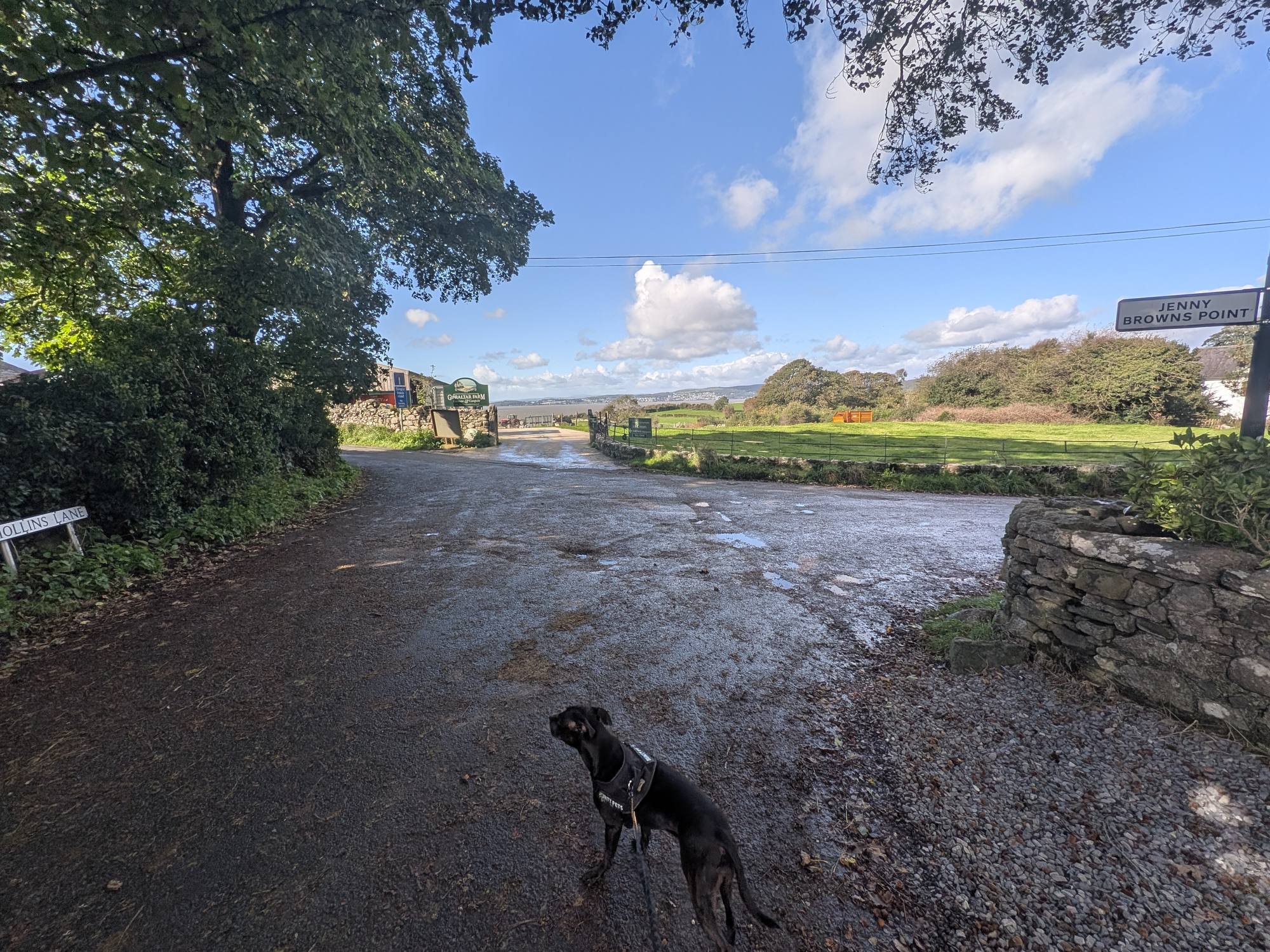
Walk to the junction by Gibraltar Farm and turn left, following the Jenny Browns Point road sign.
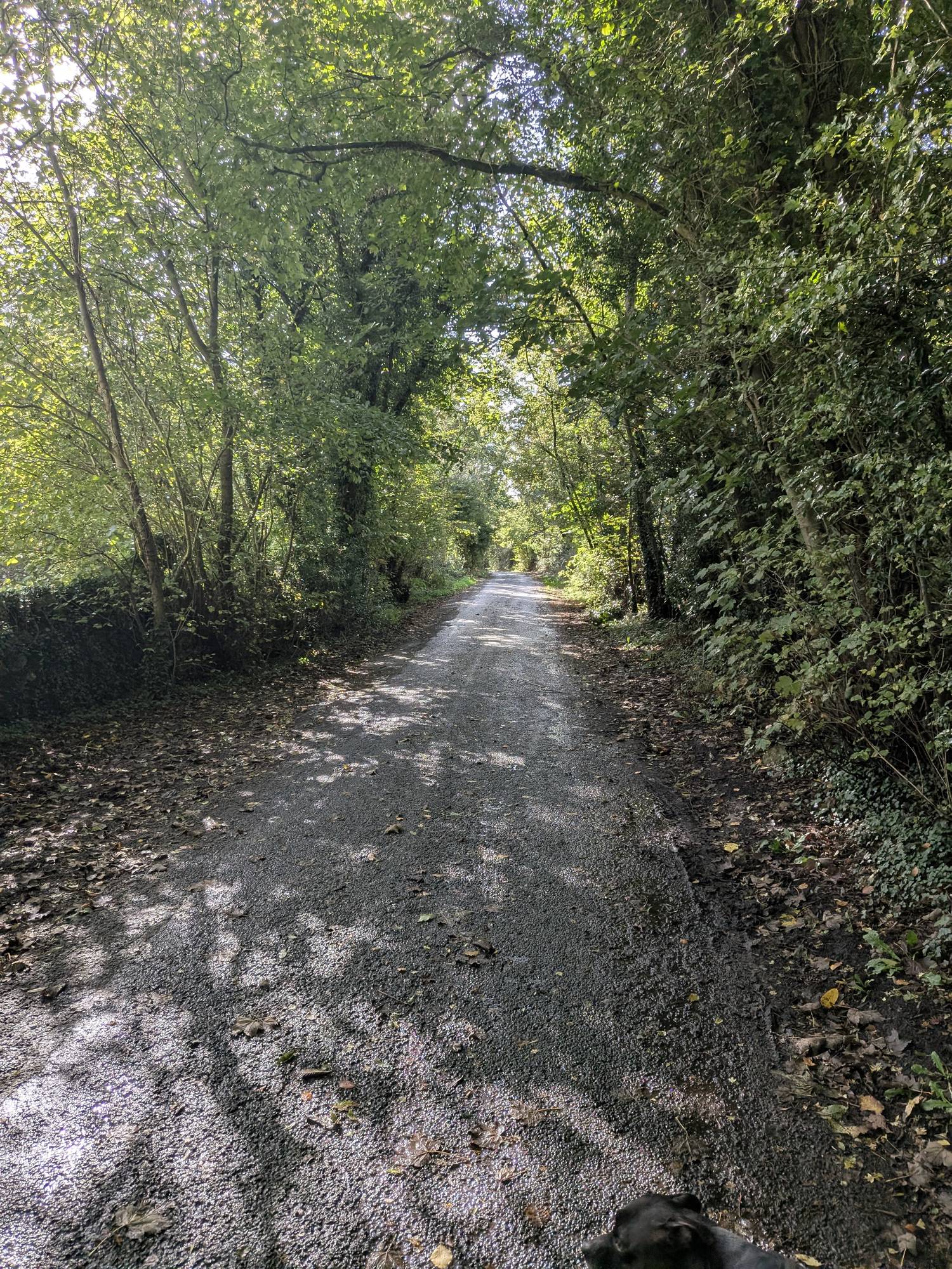
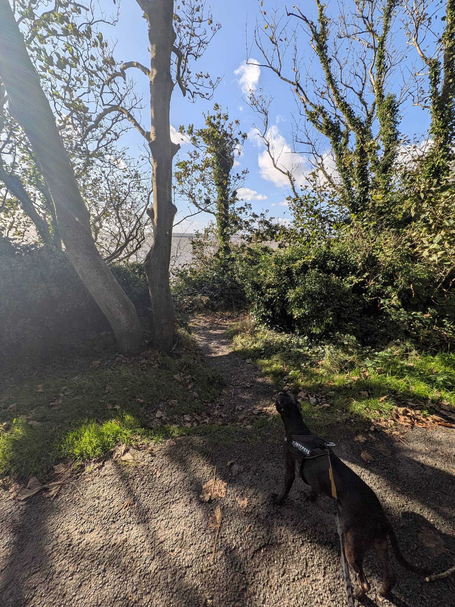
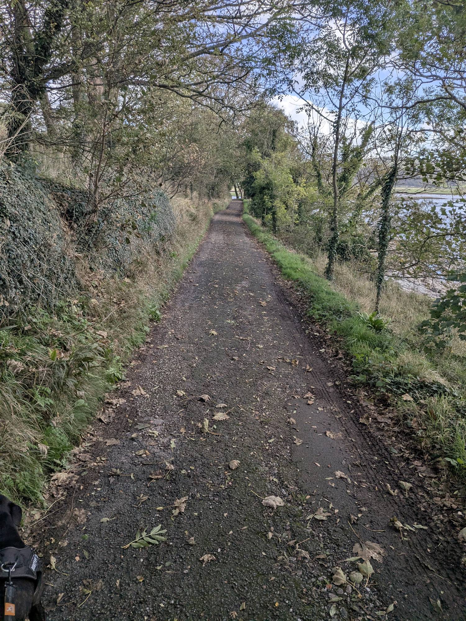
Tarmac under trees all the way to the house at the end. Between the lane and the sea lies the National Trust's Jack Scout (more in the history below). Keep an eye out on the seaward side for a small gap in the trees: it is easy to walk past.
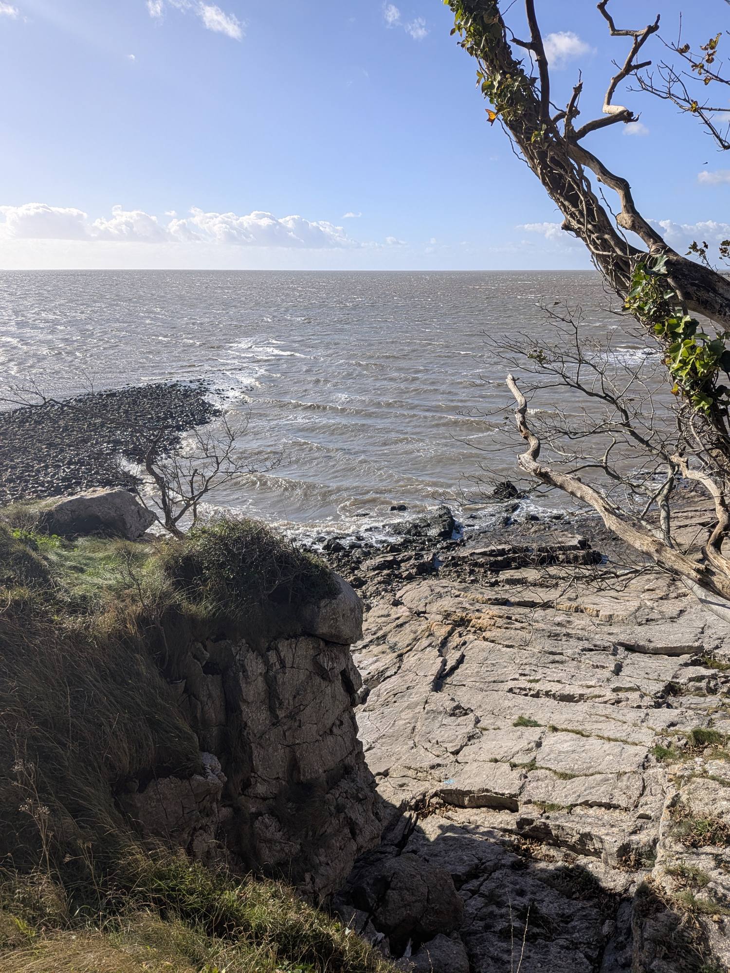
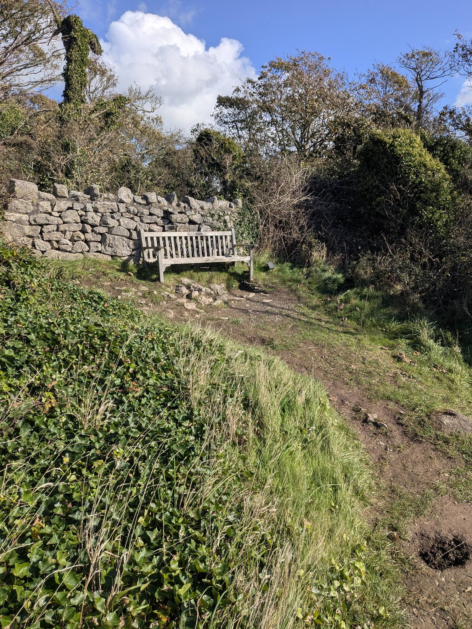
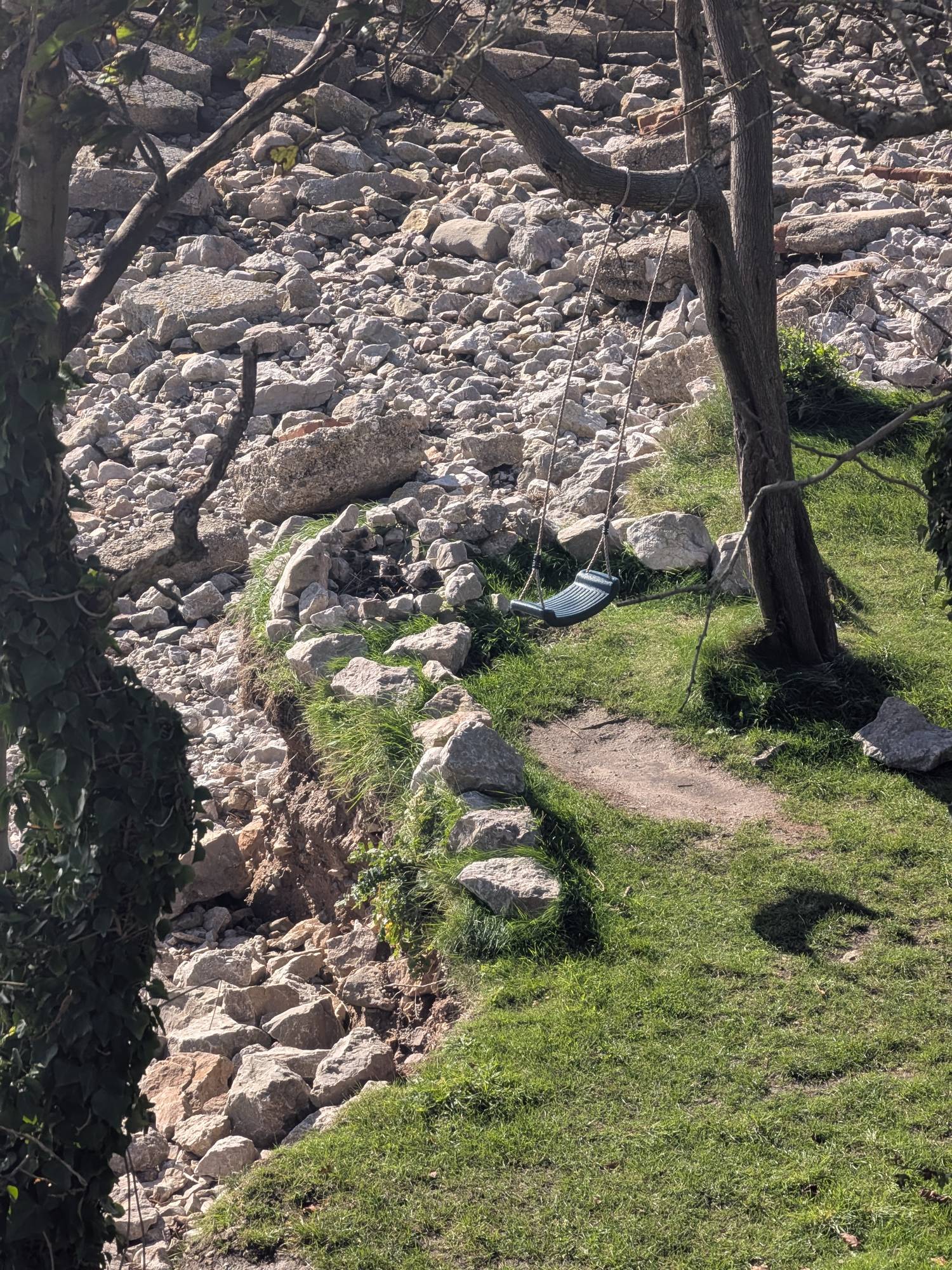
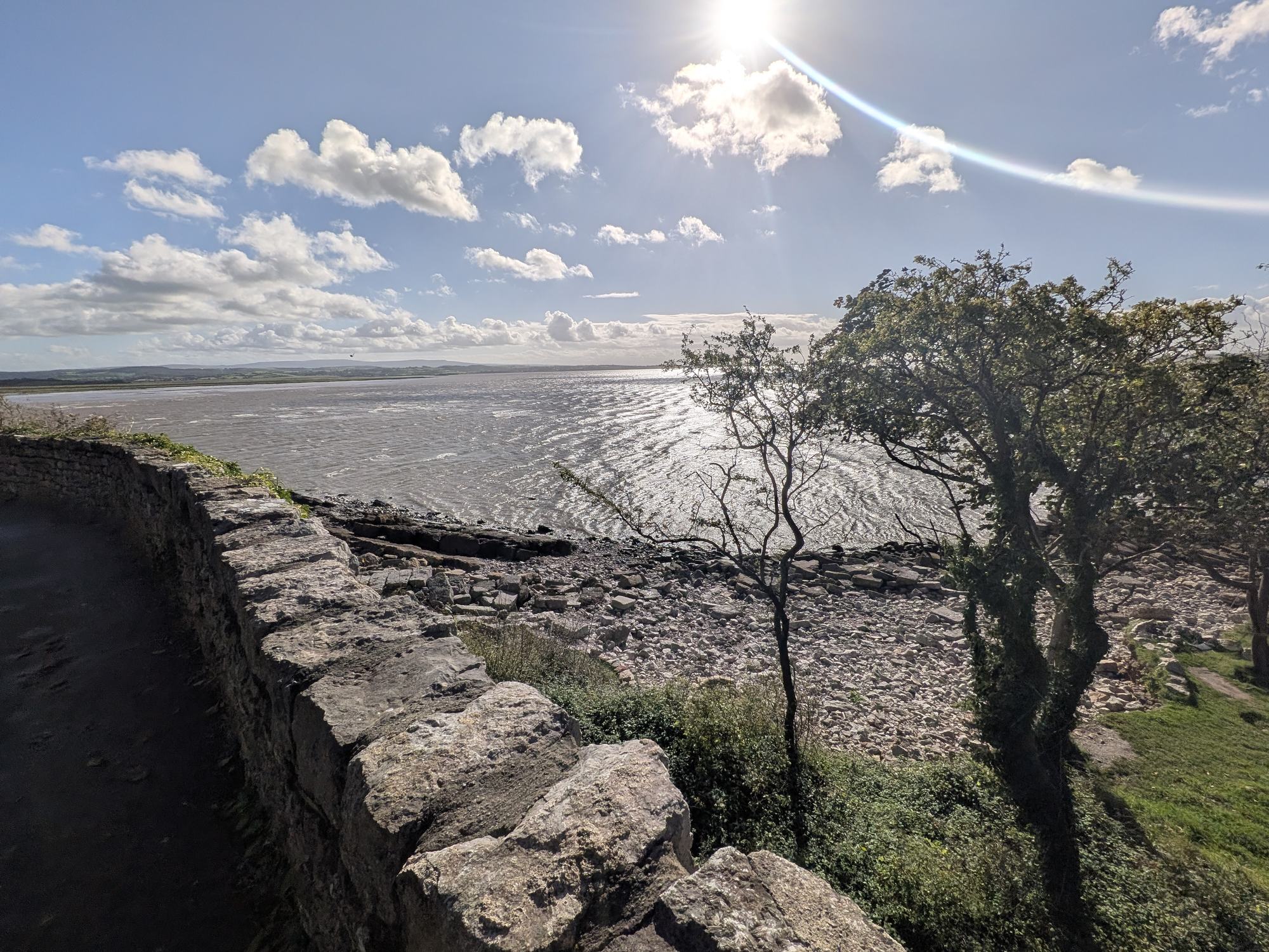
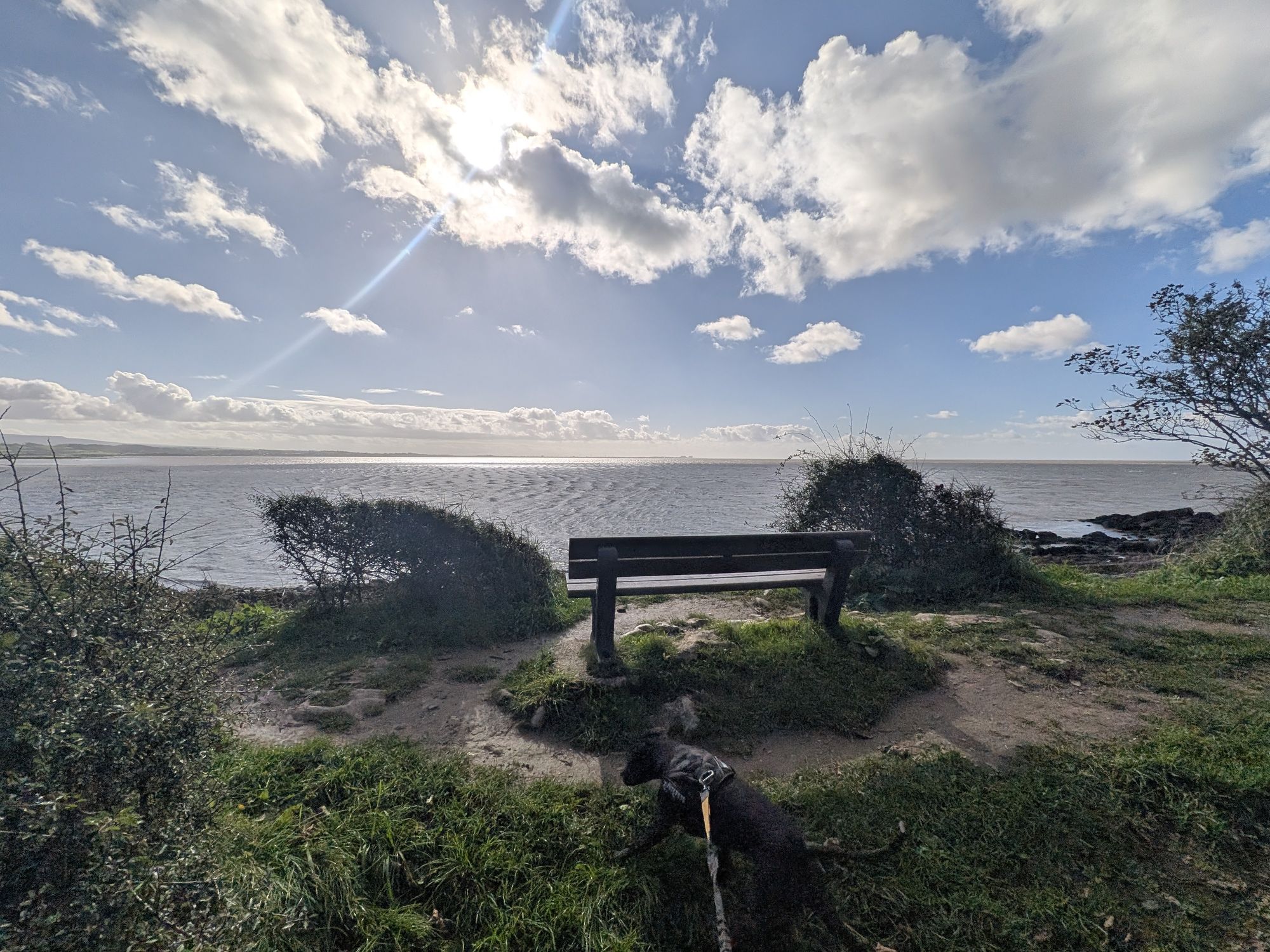
Through the gap, down a couple of steps, to a bench at ///clever.sonic.paused. It is one of the finest views of Morecambe Bay I have seen: Morecambe to the left, Grange-over-Sands to the right. A rope swing hangs above the shore just beyond.
Further along, a second bench faces the bay at ///marine.battling.shins.
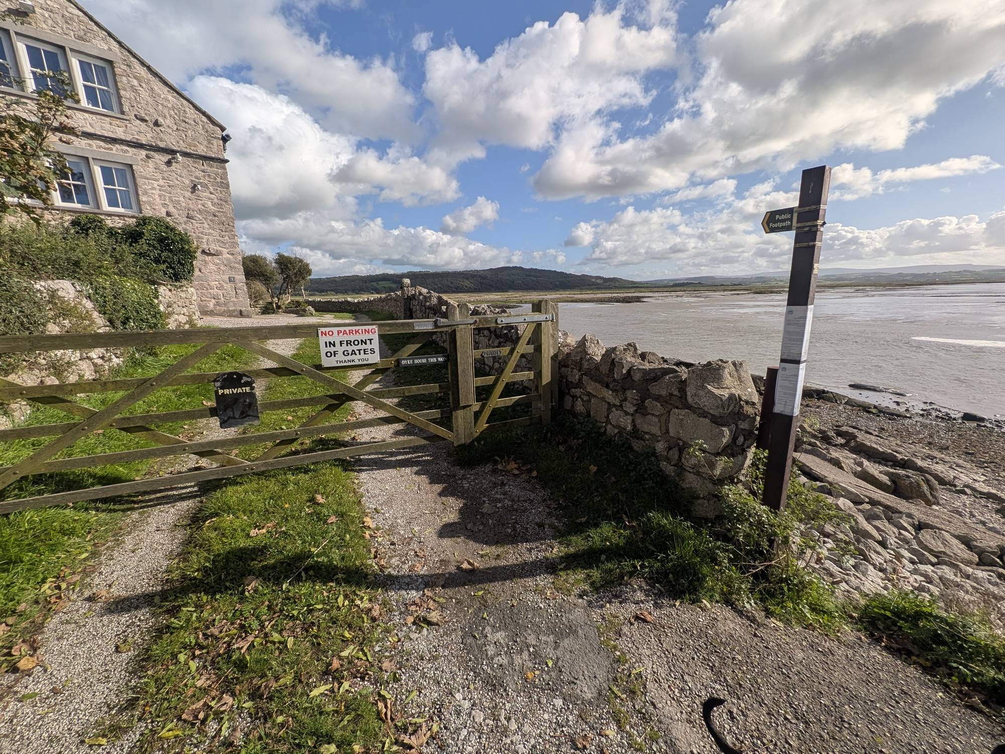
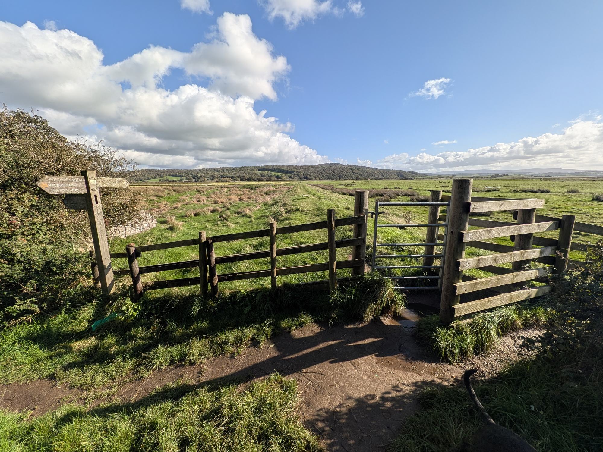
The lane ends at the house at Jenny Brown's Point; the gate is signed Dyke House. A Peak & Northern Footpaths Society sign (No. 605) reads "Public footpath to Crag Foot via gates, or via foreshore".
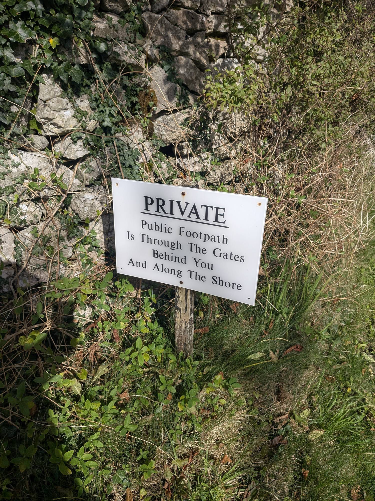
The five-bar gate is marked Private and "No parking in front of gates", but the public footpath goes through the gates. Once through, take the gate on your right down to the shore. Do not carry on up the drive: a sign there reads "Private. Public footpath is through the gates behind you and along the shore."
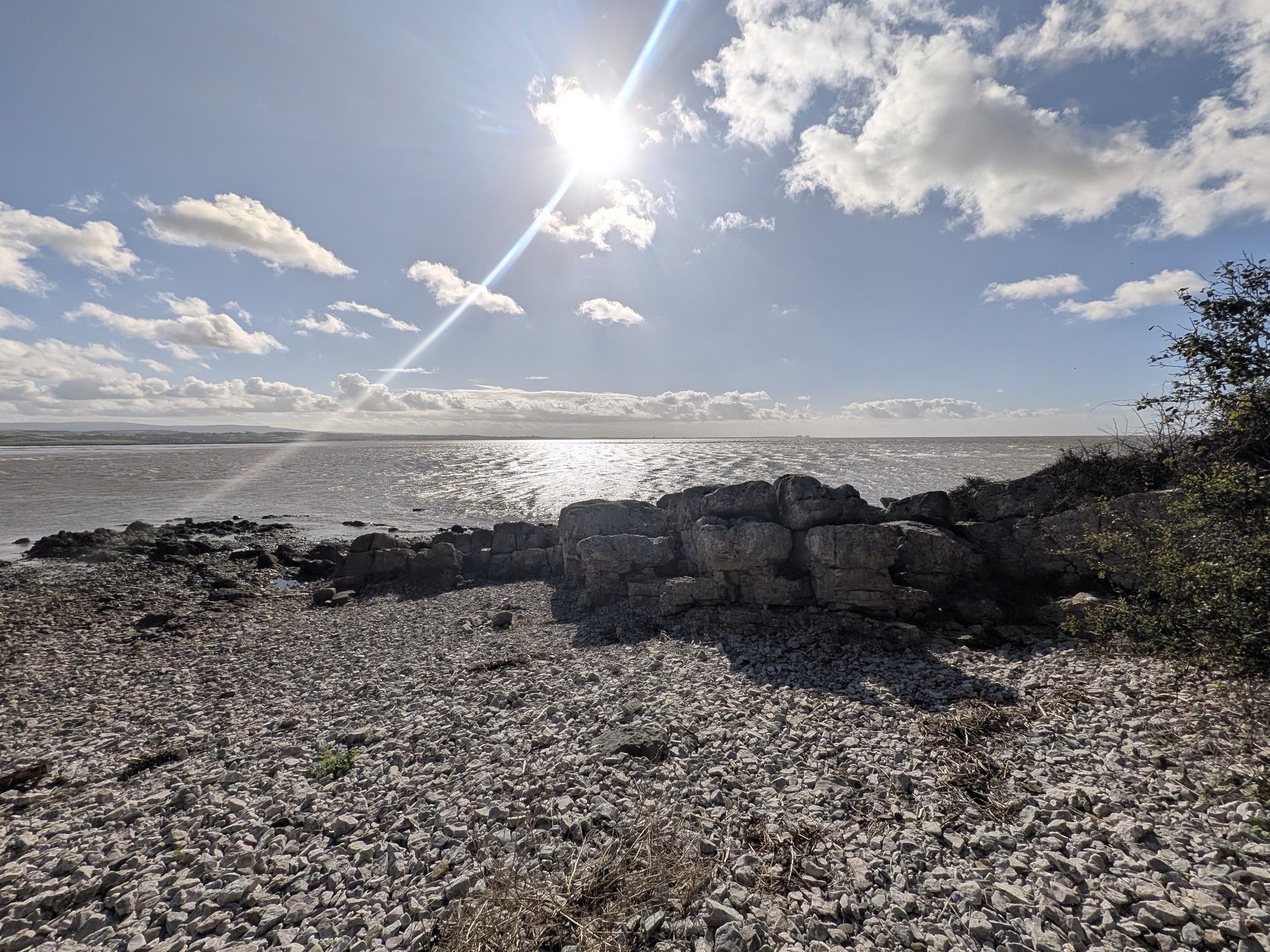
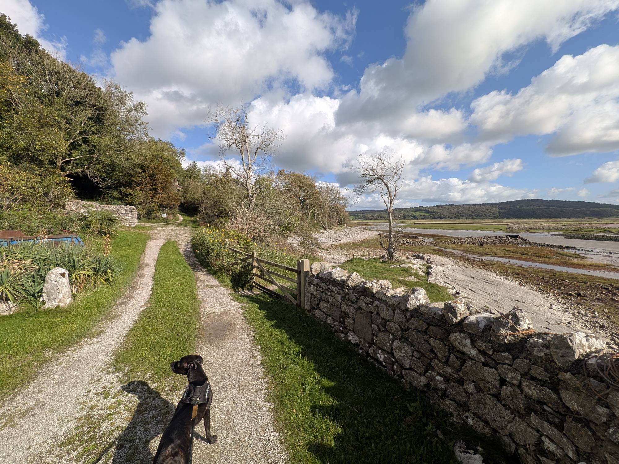
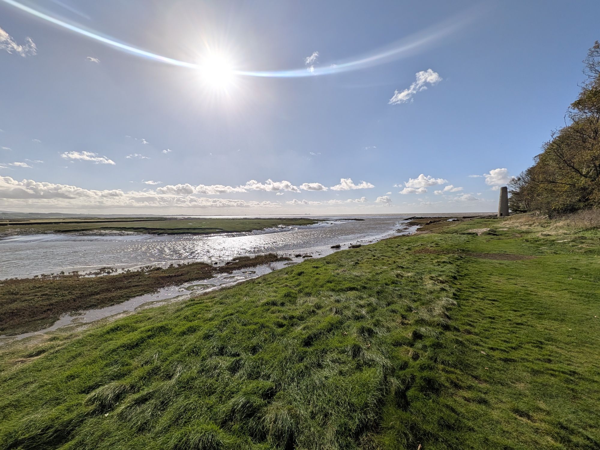
Shingle and limestone slabs, with saltmarsh alongside. This is the tidal stretch: read the tides note first.
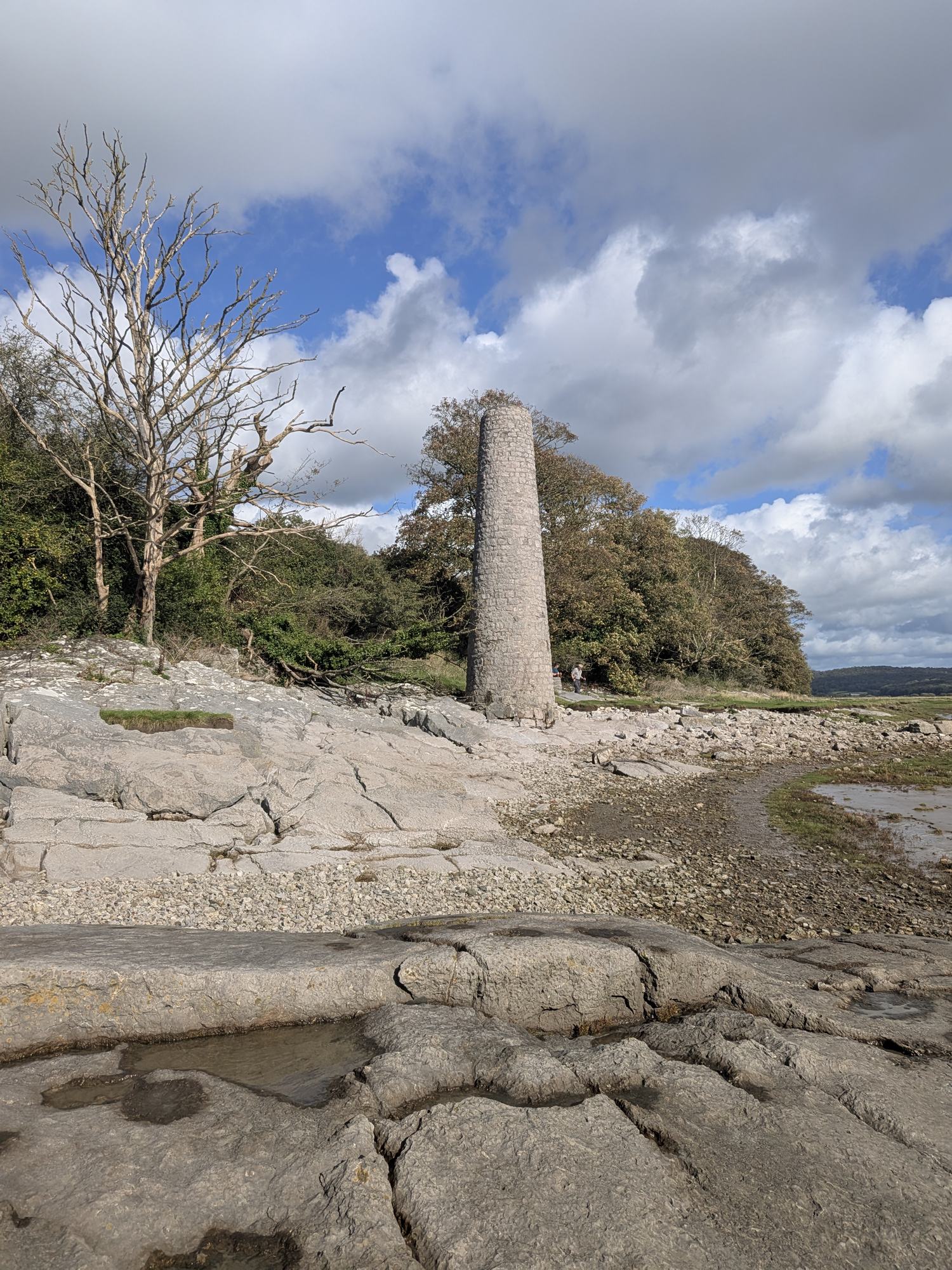
The chimney stands on the limestone shore, with an information board beside it. Its story is below.
After the Point the ground is boggy and can be slippery. At ///catchers.streaking.uplifting the path forks. Left goes up through a gap in the trees and across a slanting rock face, which I would call slippery and dangerous in wet or windy weather. Right is the main way and leads to a gate. Both come out at the same place. I recommend the right fork.
At the gate and fingerpost, turn left, signed Heald Brow and Hollins Lane. If you took the left fork, simply carry on. Do not go through towards the nature reserve: that path heads out across the marsh for Leighton Moss.
Up through the woods on the Heald Brow side. This is the one real climb of the walk. There were squirrels everywhere: I counted five.
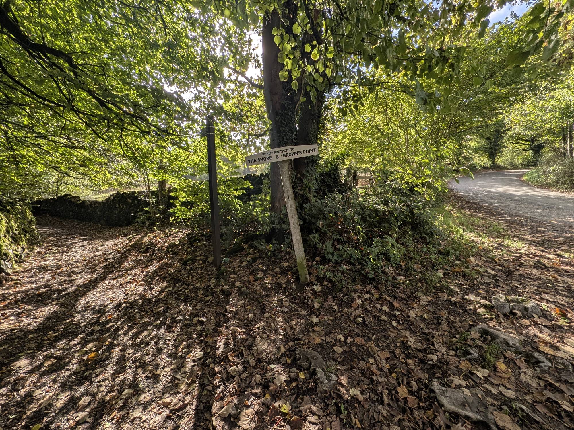
The path comes out on Hollins Lane at a sign reading "Public footpath to The Shore & Brown's Point", ///asks.pound.outbound. Turn left and follow the lane back to the layby and the cafe, about a quarter of an hour on the road.
The trickiest part of the walk is the stretch between that road sign on Hollins Lane and Jenny Brown's Point: the woods, the bog and the shore. The easiest is the cafe side. I would start and finish at the cafe, as we did. If you only want the views, walk out and back along the lane to the viewpoints and the gates: it stays on the lane apart from the few steps down to each viewpoint.
The chimney, the name and the wall
The chimney. According to the Morecambe Bay Partnership board on the shore, the chimney is all that remains of a furnace built in the 1780s by Robert Gibson, lord of the manor of Yealand, to roast copper and iron ores from Warton Crag and Heald Brow. It was short-lived and probably did not work much past 1790; Gibson himself died around 1790. Between 2014 and 2019 it was the subject of a National Lottery Heritage Fund community archaeology project. Older ideas that it was a beacon or a lime kiln have been set aside. The chimney is Grade II listed (Historic England, via Wikipedia).
The name. Nobody knows for certain where it comes from. Wikipedia, citing the Mourholme Local History Society, records it as Jenny Brown('s) Point on an 1829 estate plan; before that it appears as Brown's Point (1812), Silverdale Point (1818) and Lindeth Point (1828). The Morecambe Bay Partnership notes that two Jenny Browns, a mother and daughter, lived at Dykehouse farm in the 1600s. The stories you may hear, of a nanny, a lost sailor's sweetheart or a steam engine, are legends.
The ruined wall. The ruined wall running out into the bay is Walduck's Wall, an 1870s scheme promoted by Herbert Walduck to reclaim land from the bay. Work stopped by 1879 when the money ran out, and the tide now covers it twice a day (Morecambe Bay Partnership).
The Matchless. In 1894 the pleasure boat Matchless capsized off the Point; the inquest recorded 25 drowned (Morecambe Bay Partnership).
Jack Scout. Between the lane and the sea lies Jack Scout, a National Trust site of limestone grassland and low cliffs. The National Trust describes its Giant's Seat, a limestone bench "big enough to fit four", and a lime kiln at the north end.
Wolf House. The gallery sign by the cafe is dated 1975 to 2025, and the board on site describes the gallery building as restored in 2025 as a holiday cottage. The cafe carries on as The Wolf Cafe.
After the walk
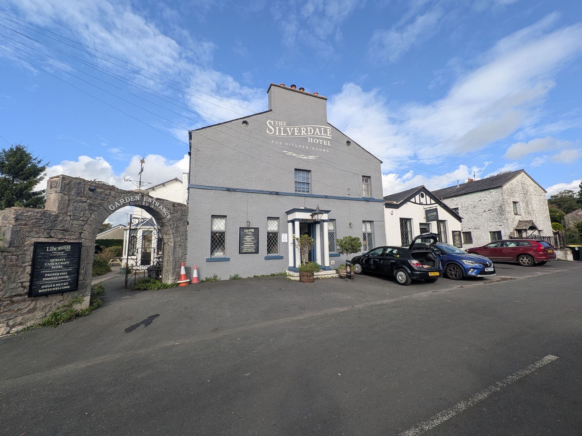
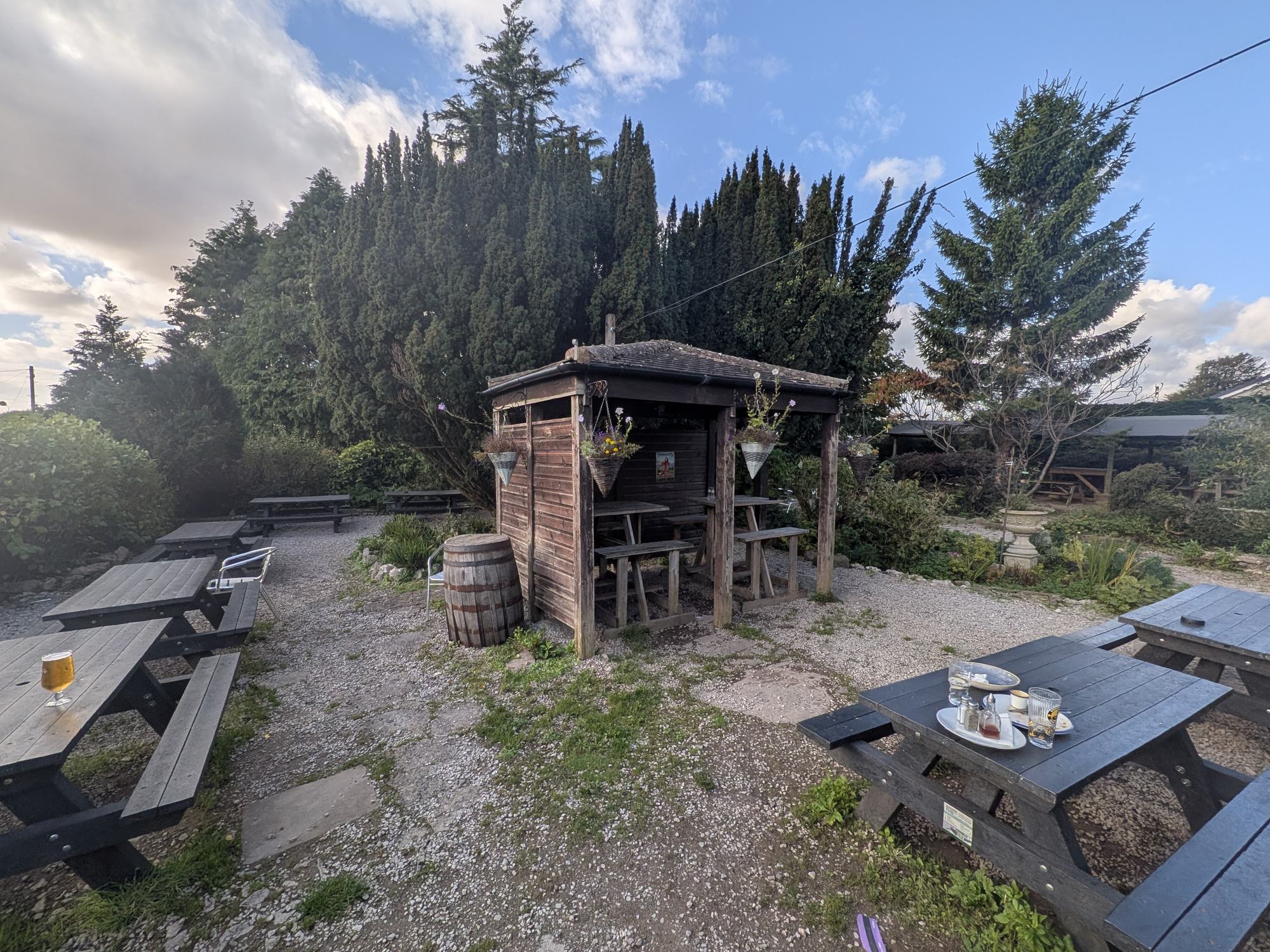
The nearest pub is The Silverdale Hotel on Shore Road. Its bar is signed The Low House Tap, the board outside reads "Dogs & mucky boots welcome", and there is a beer garden.
Getting there from the layby: drive up past the cafe, turn right and follow the road into Silverdale, then turn left at the sign for The Shore. The Silverdale Hotel is about 20 yards down Shore Road on the right. Check opening and food times before you go.
Good to know
Keep exploring
The full guide: Arnside Knott, Leighton Moss, the promenade, food and places to stay.
The National Trust hill above Arnside and its view over the bay to the fells.
The bore, the siren and why the sands are a view, not a beach.
More walks we have done, from lakeshore strolls to the fells.