Windermere · around 238 m · Wainwright's first fell
Orrest Head
The little hill above Windermere town with a view down the whole lake to the fells. Three ways up, where to park, and the longer circular we walked.
The little hill above Windermere town with a view down the whole lake to the fells. Three ways up, where to park, and the longer circular we walked.
Above Windermere town
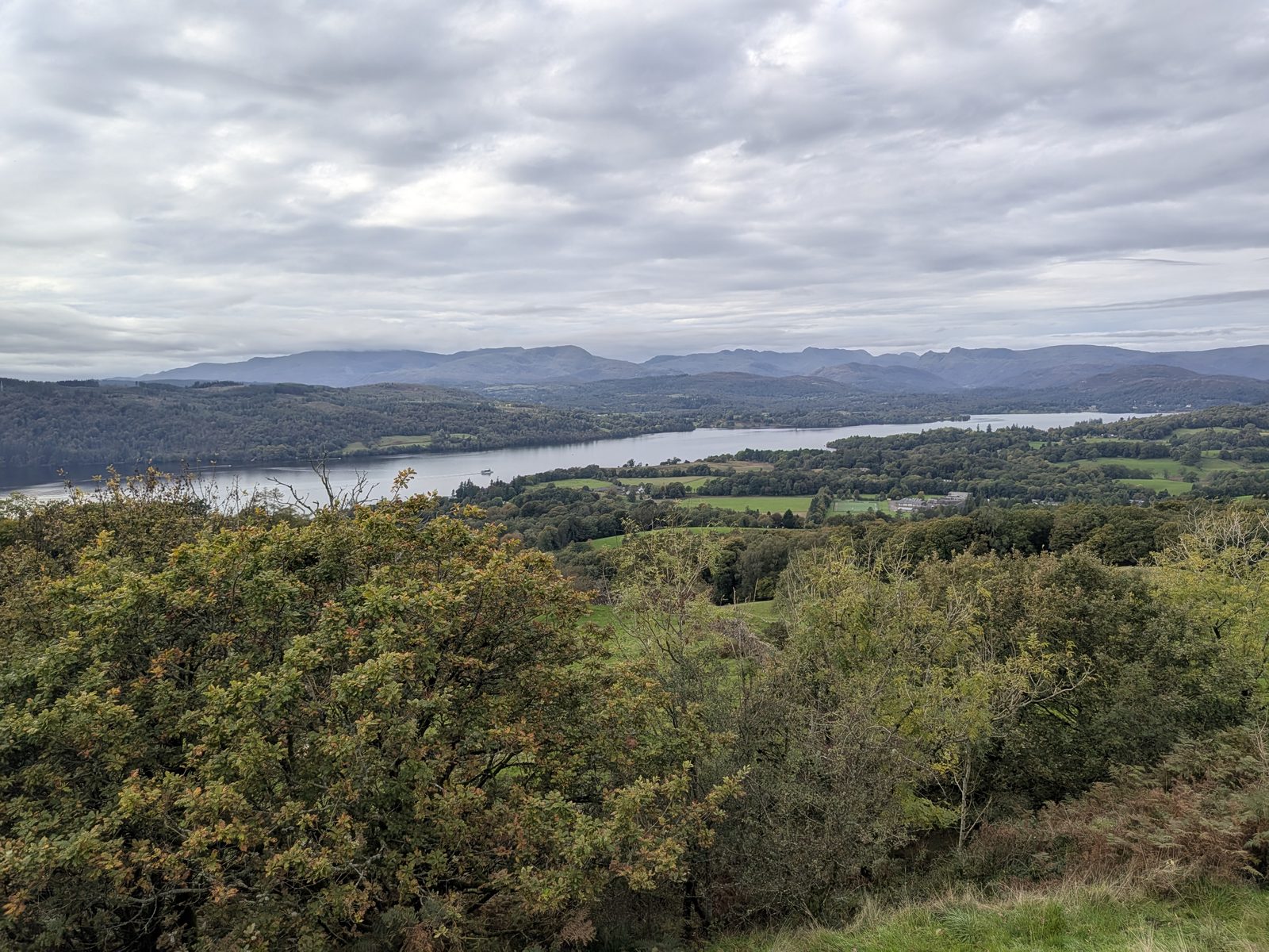
Orrest Head is the wooded hill right above Windermere town. From the main entrance on the A591, near the station, it is a short climb through Elleray Wood to a rocky top at around 238 m (784 ft), and from there you see Windermere laid out below you with the fells behind it. It was the first Lakeland fell Alfred Wainwright climbed, in 1930.
It can be as long or as short as you like. There is a surfaced, step-free path, a steeper route with steps, and the way we went, from a layby on the A591 near Booths. We came down the back of the hill and walked home through the woods, a circular of about 4 km (2.5 miles). Allow 1.5 hours for that.
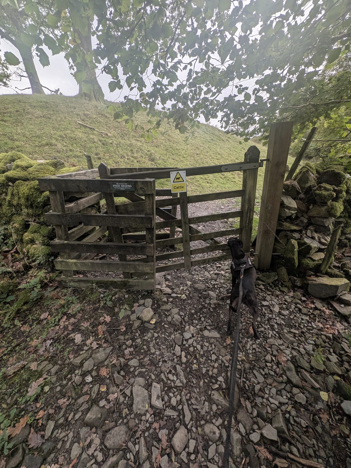
Dogs: Cass, our Staffordshire Bull Terrier, was on the lead the whole way. On the way back the path crosses fields signed for stock grazing and cattle, so keep dogs close there.
Route, difficulty and starting point
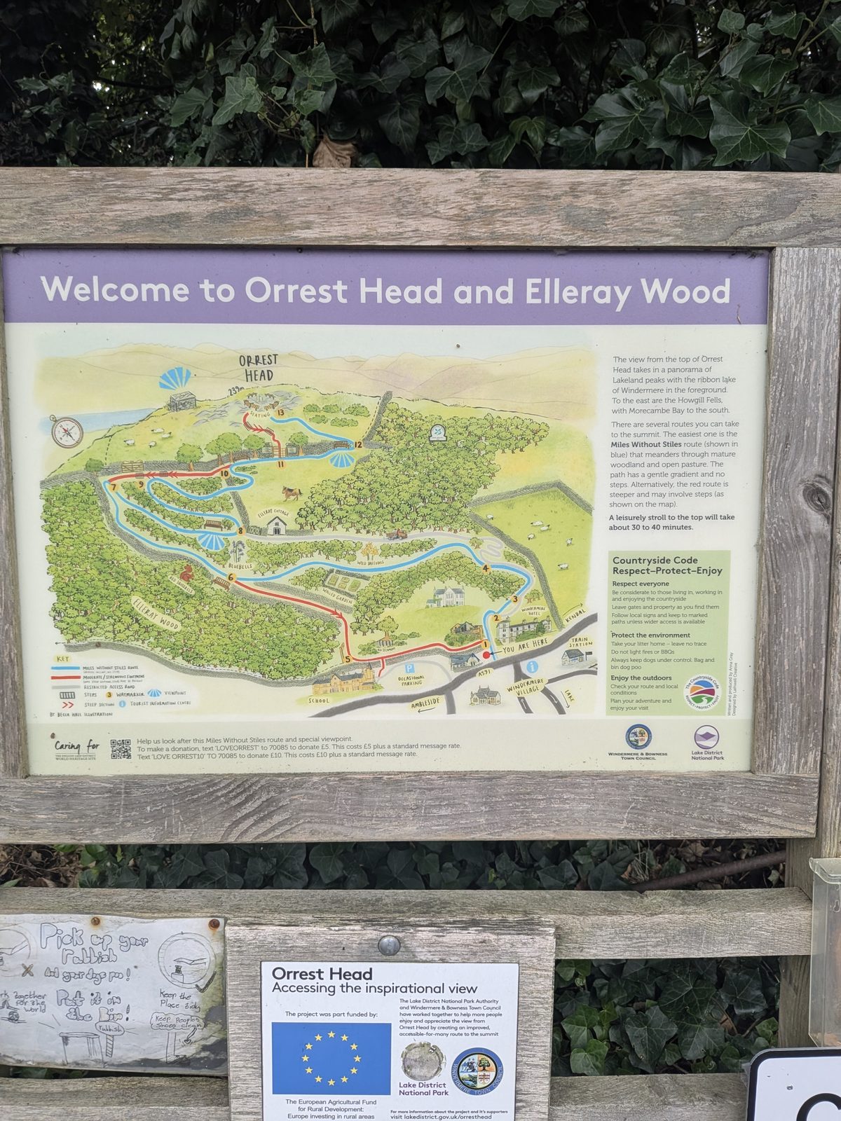
The "Welcome to Orrest Head and Elleray Wood" board at the main entrance, put up by Windermere & Bowness Town Council and the Lake District National Park, maps the routes up from the town, with numbered waymarker posts from 1 to 13. By the board's reckoning, a leisurely stroll to the top takes about 30 to 40 minutes.
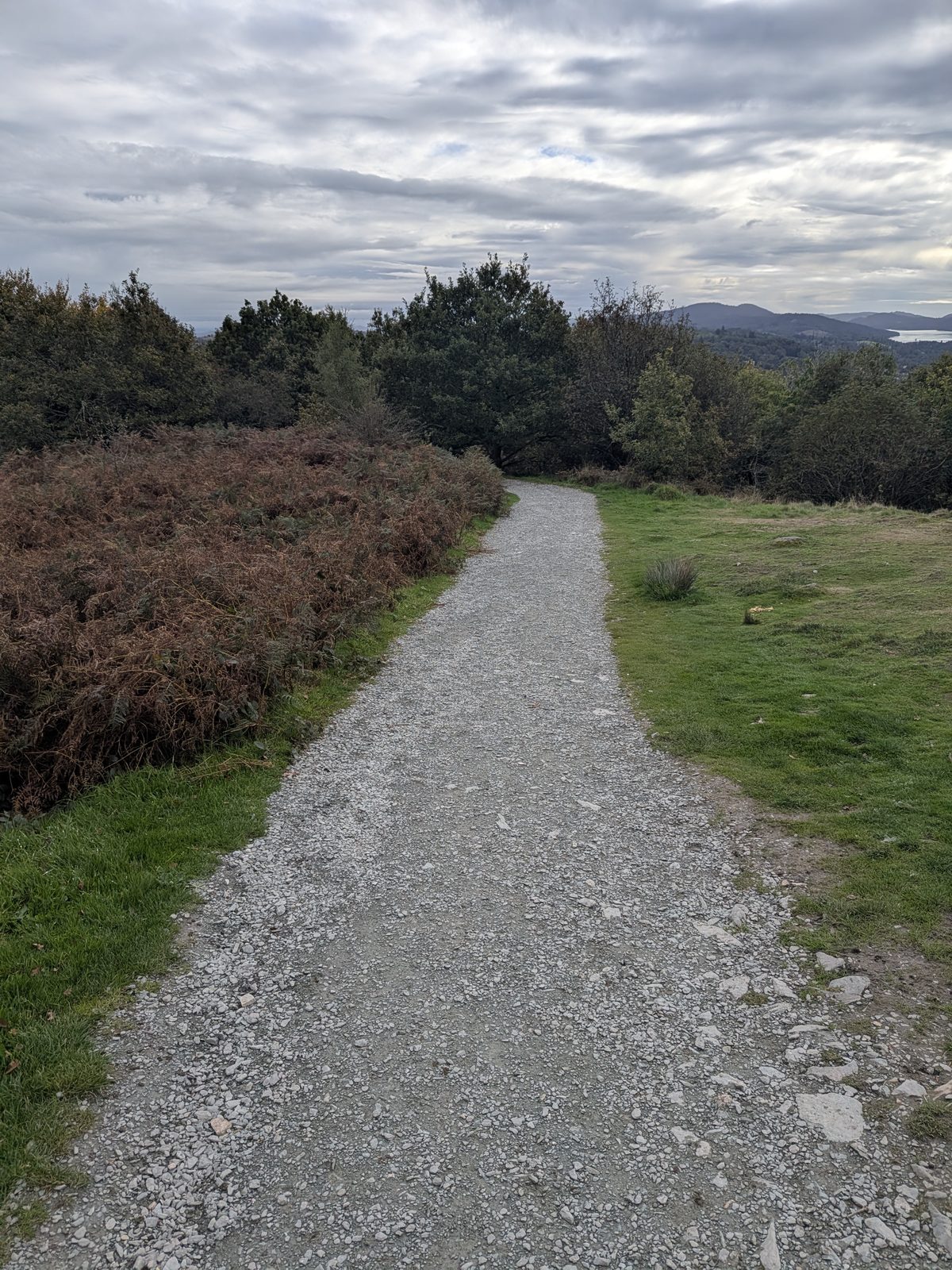
1. The Miles Without Stiles path (blue on the board). A gentle gradient with no steps, through woodland and open pasture. This surfaced path is the most popular way up for people who want the view without much of a hike. The National Park says this easy-gradient path to the viewpoint was built for pushchairs and mobility scooters. Is there an easy walk to Orrest Head? This is it.
2. The red route. Steeper, and the board says it may involve steps.
3. From the A591 layby (the way we went). A quieter path up from a small layby on the A591 on the Kendal side of town, near Booths, over two gates and a stone stile. It is described step by step below.
Parking and directions
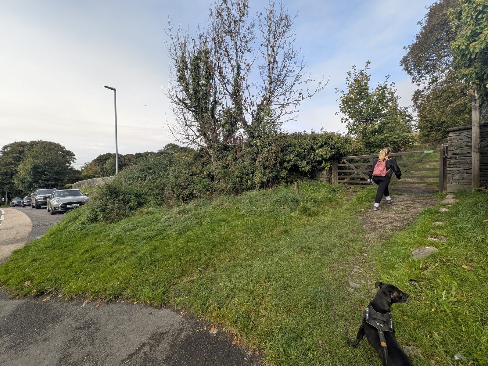
Our start: the A591 layby by Booths. We parked in a layby on the A591 on the Kendal side of town, about 100 m up the hill from Booths. It holds three cars, and the path starts right from it, through a gate by the side of the road, at ///meanest.scoop.shelving. The next layby down the road holds five. Parking there is time-limited at certain times, so check the sign. Our full circular took 1 hour 35 minutes on the clock, so a two-hour bay is tight for the long loop, but it's fine for straight up and down.
The main entrance (where we finished). The main entrance, with the welcome boards, is further along the A591 at the Ambleside end of town, what3words ///octagon.system.skid. It is where most people start, and where our circular came out. The lane in is signed for pedestrian access only, except as authorised by Windermere Town Council, with no cycling and no overnight stays. For car parks in the town, see the Windermere parking guide. The board marks some "occasional parking" by the school, but that is not a car park.
Step by step
From the layby to the top took us about half an hour, with photo stops.
From the layby at ///meanest.scoop.shelving, take the path up the hill to the left and go through the first gate.
Climb alongside the drystone wall to a wooden field gate.
A stony path runs through the trees, then drops towards a gap in the wall. Just before it, a path goes off to the right: take that, follow it, and go through the hole in the wall.
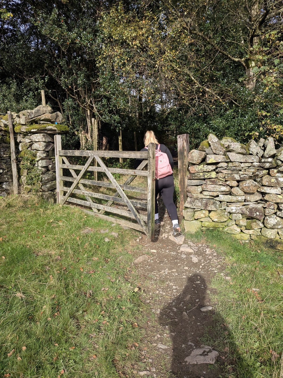
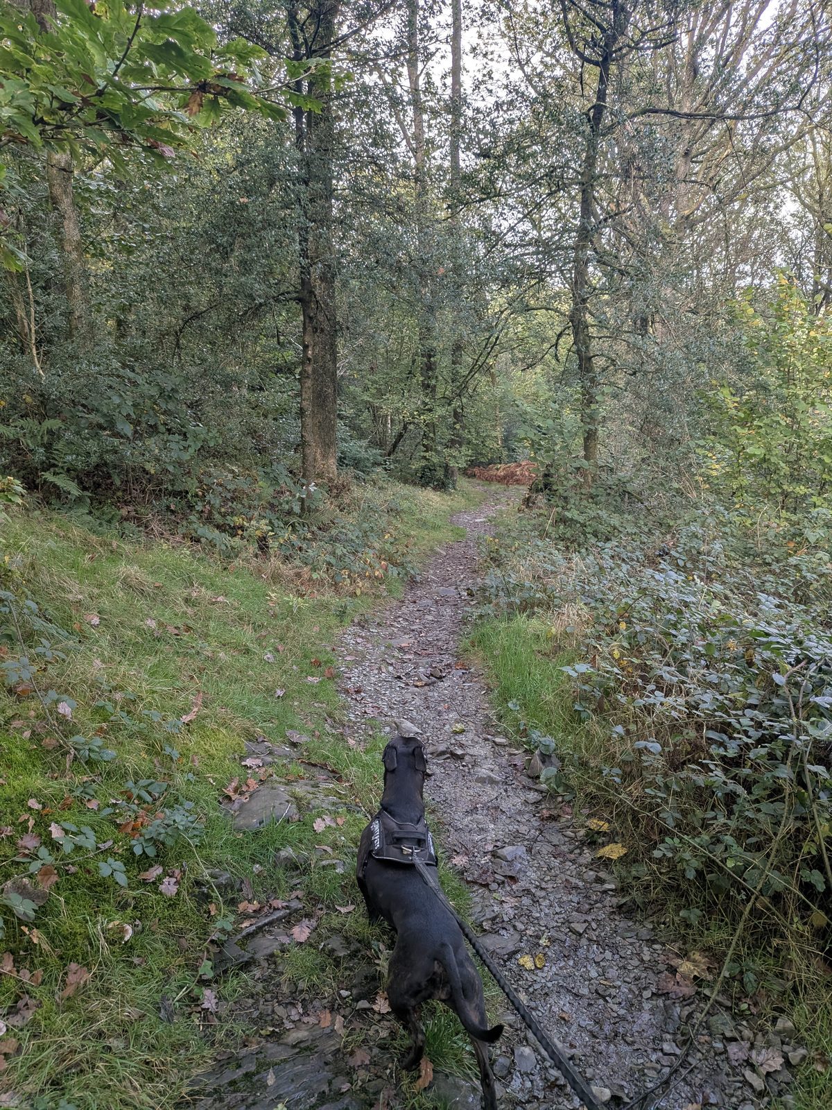
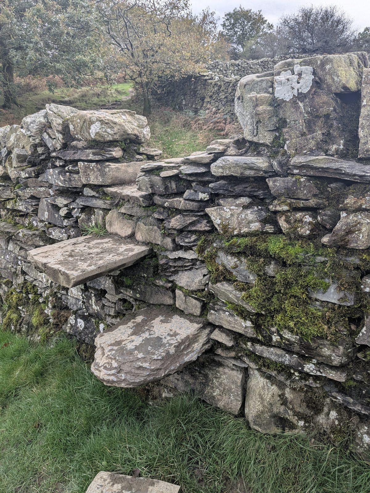
Go through a gate. On the left is a stone step stile over the wall, with a yellow waymark. Cross it, then turn immediately right.
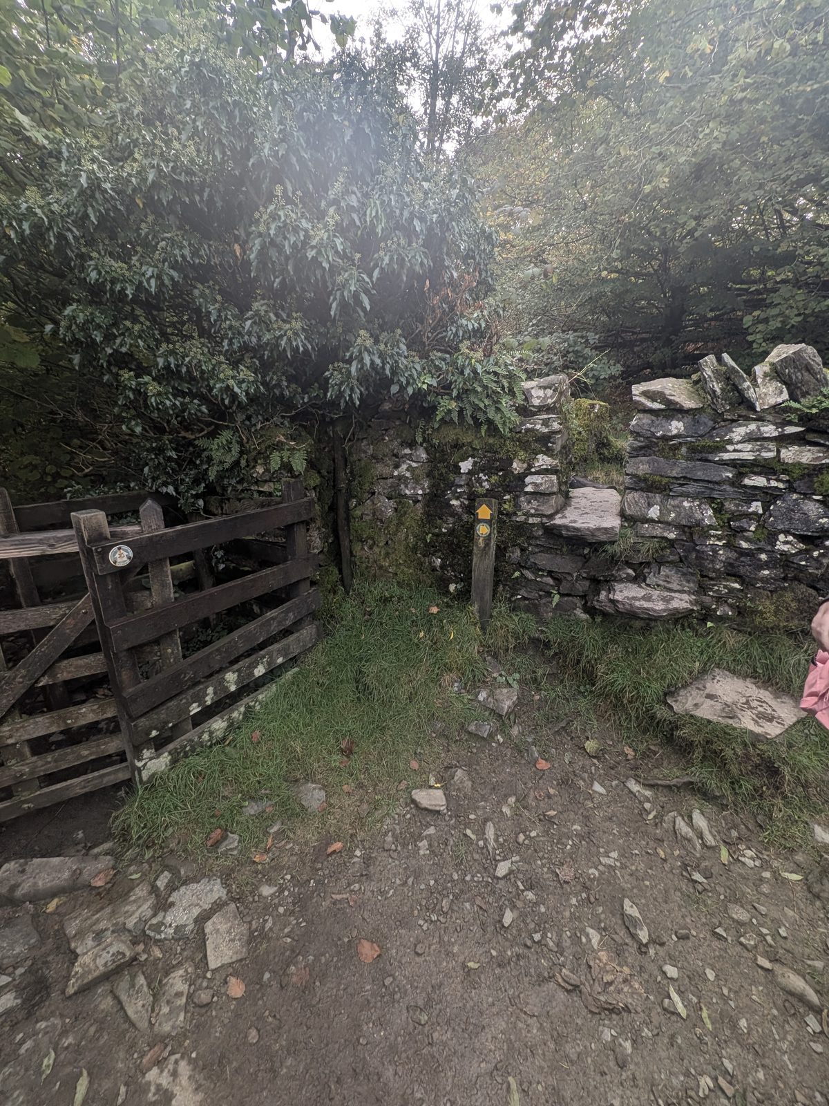
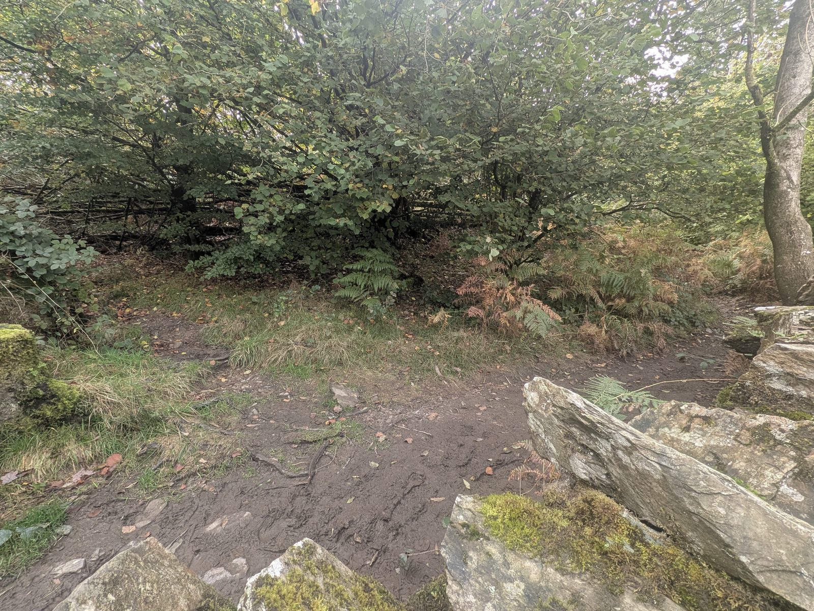
From the stile to the top is the steepest part of the whole walk. Is Orrest Head a hard walk? No: this short pull is as hard as our route gets.
Route description is a guide, not turn-by-turn navigation.
The Orrest Head viewpoint
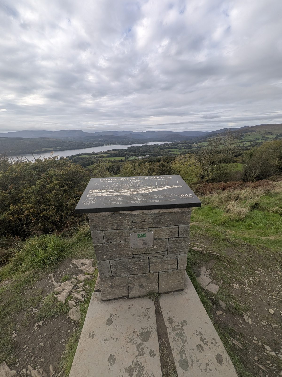
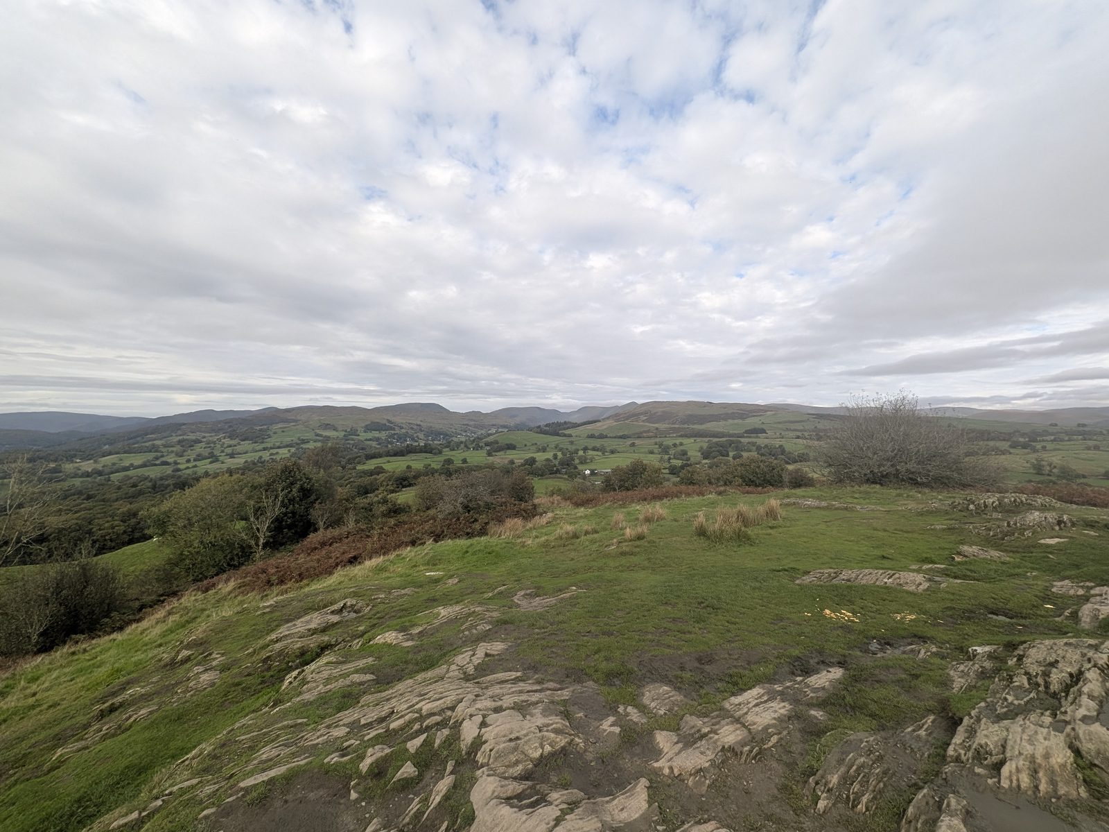
The top is a spread of rock slabs with benches, a stone viewfinder and a slate plaque. Windermere runs the length of the view below, with the fells behind. The welcome board lists the Lakeland peaks, the lake, the Howgill Fells to the east and Morecambe Bay to the south. The National Park says the seating on the top is the Orrest Head Compass, made by Chris Brammall of CB Arts.
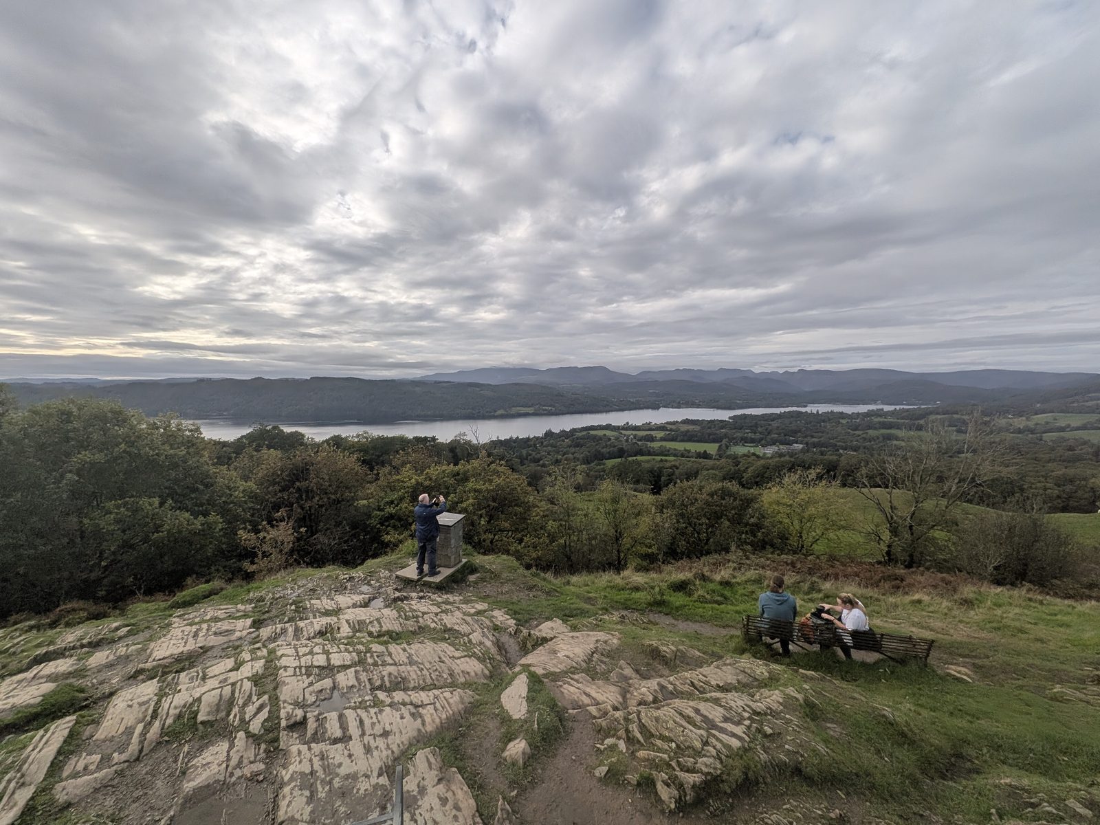
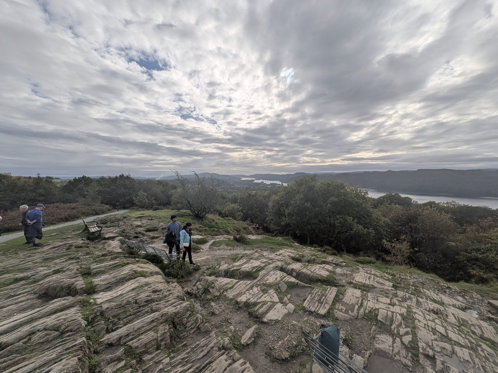
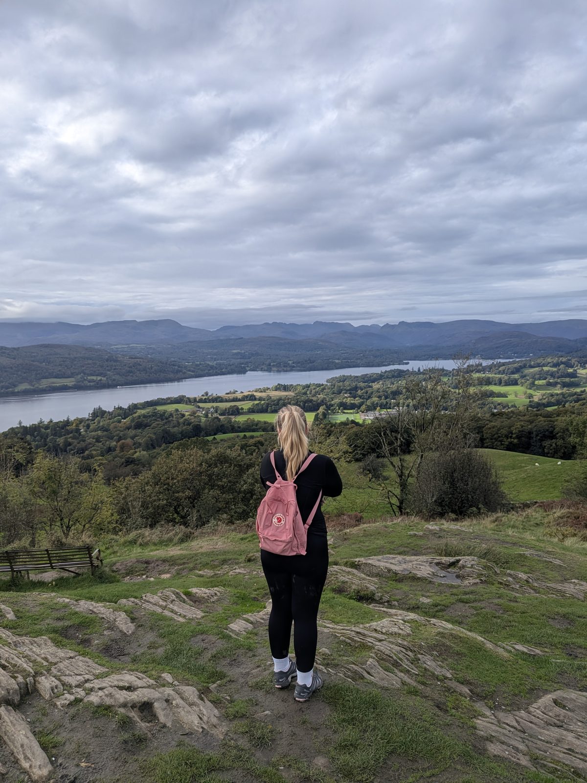
Is Orrest Head a Wainwright?
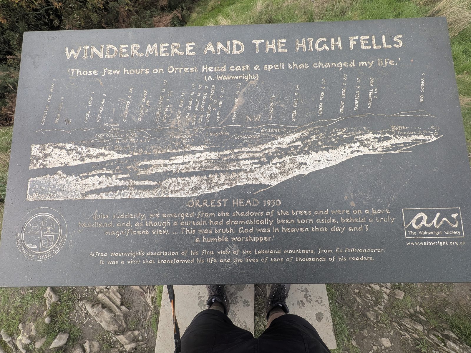
Orrest Head was Alfred Wainwright's first Lakeland fell. He climbed it in 1930, and the Wainwright Society's slate plaque on the summit, titled "Windermere and the High Fells / Orrest Head 1930", quotes him on how those few hours on the top changed his life.
Is Orrest Head a Wainwright? Not one of the 214. It appears in his book The Outlying Fells of Lakeland, not among the 214 fells known as the Wainwrights. For those, start with our Wainwrights guide.
Orrest Head circular walk
Instead of going back the way we came, we went down the far side of the hill and back to town through National Trust woodland. AllTrails recorded 4.09 km with 115 m of climbing, and 1 hour 18 minutes moving; it was 1 hour 35 on the clock. Call it about 4 km (2.5 miles) and allow 1.5 hours.
Go down off the back of the summit, heading north across open pasture, to a stone step stile in the wall. A left turn here crosses the farm and is signed, but take the stile, not the farm.
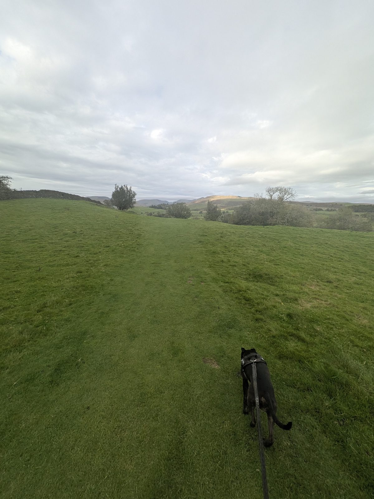
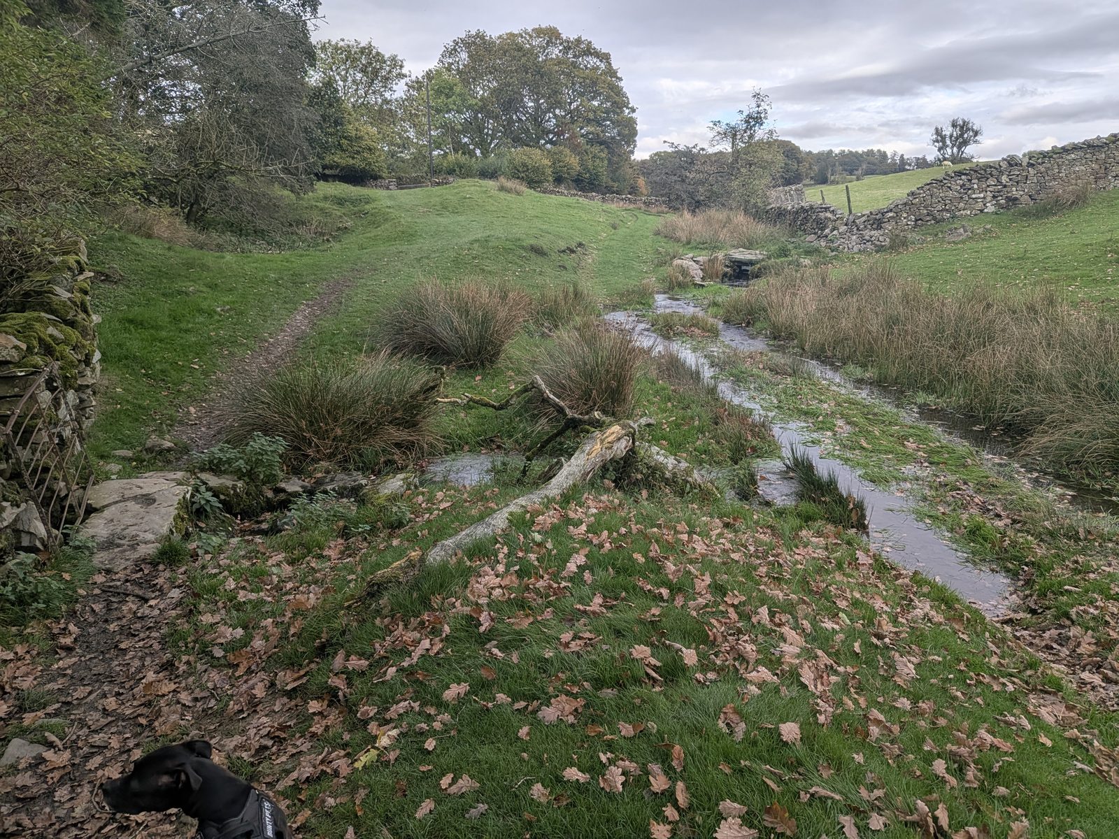
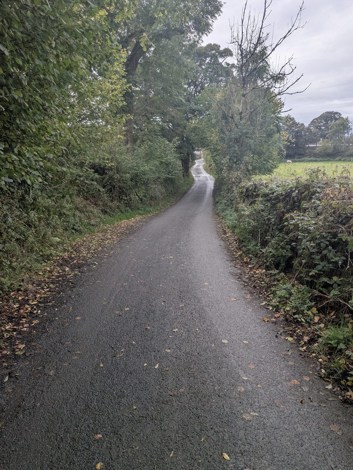
Go through the five-bar gate, which has a stile beside it, at ///body.tailed.polka, and follow the lane.
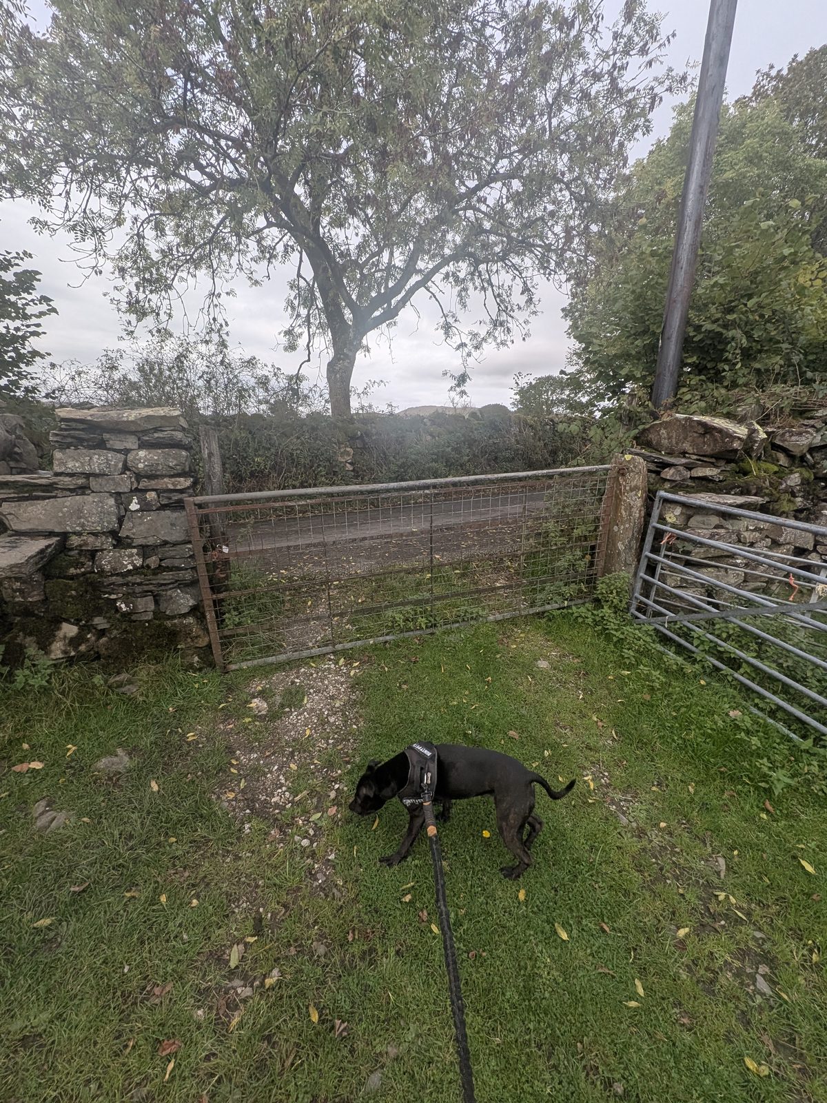
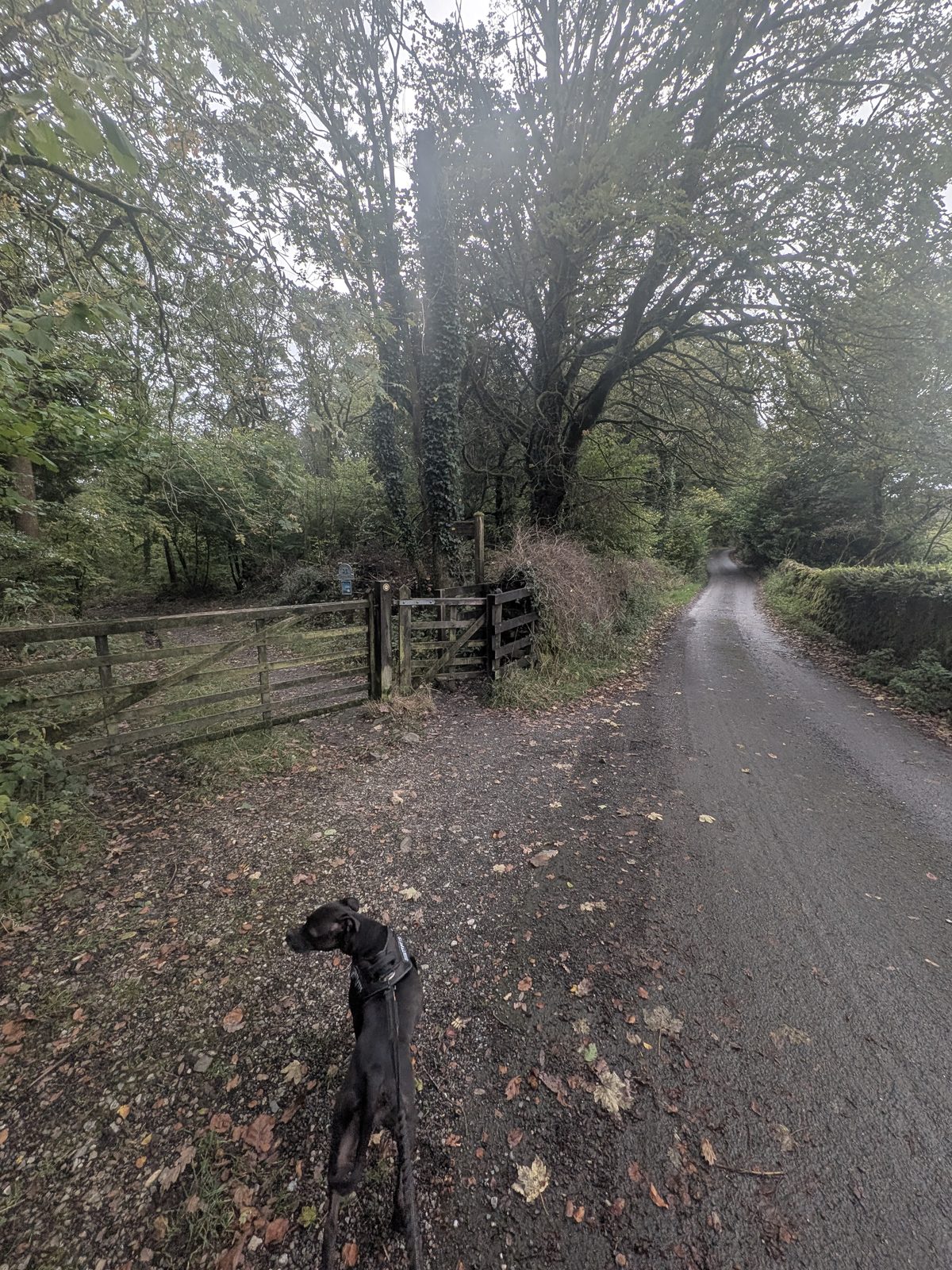
Leave the lane at the public footpath gate at ///blazers.easygoing.ruled, into National Trust woodland. The sign there reads High Hag Wood, St Catherine's estate.
At the next gate the sign reads "Stock grazing / Cattle". A wide track with tyre marks goes off to the right, and both ways end up in the same place. We went through the gate and straight across the field, following the wall. The track is a little longer: right, then left, then left again.
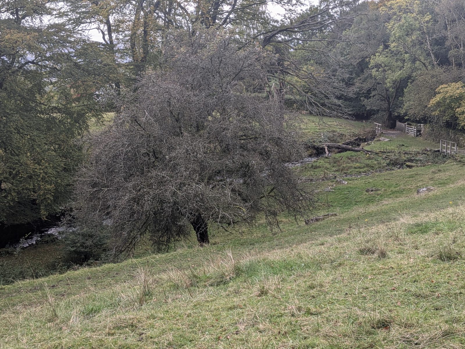
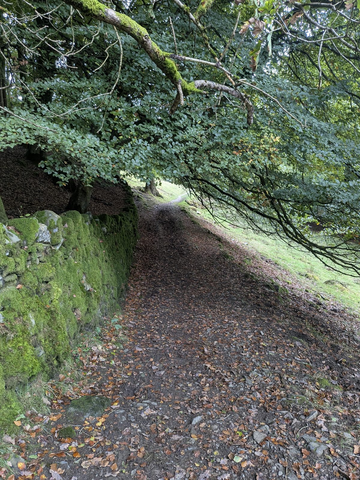
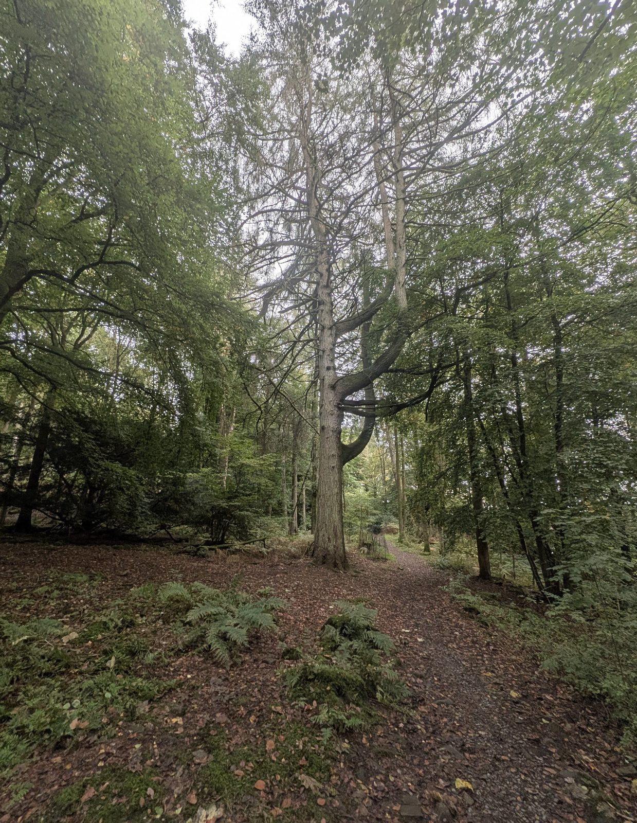
The path runs past a stream, along a walled track under the trees, and on through the woodland.
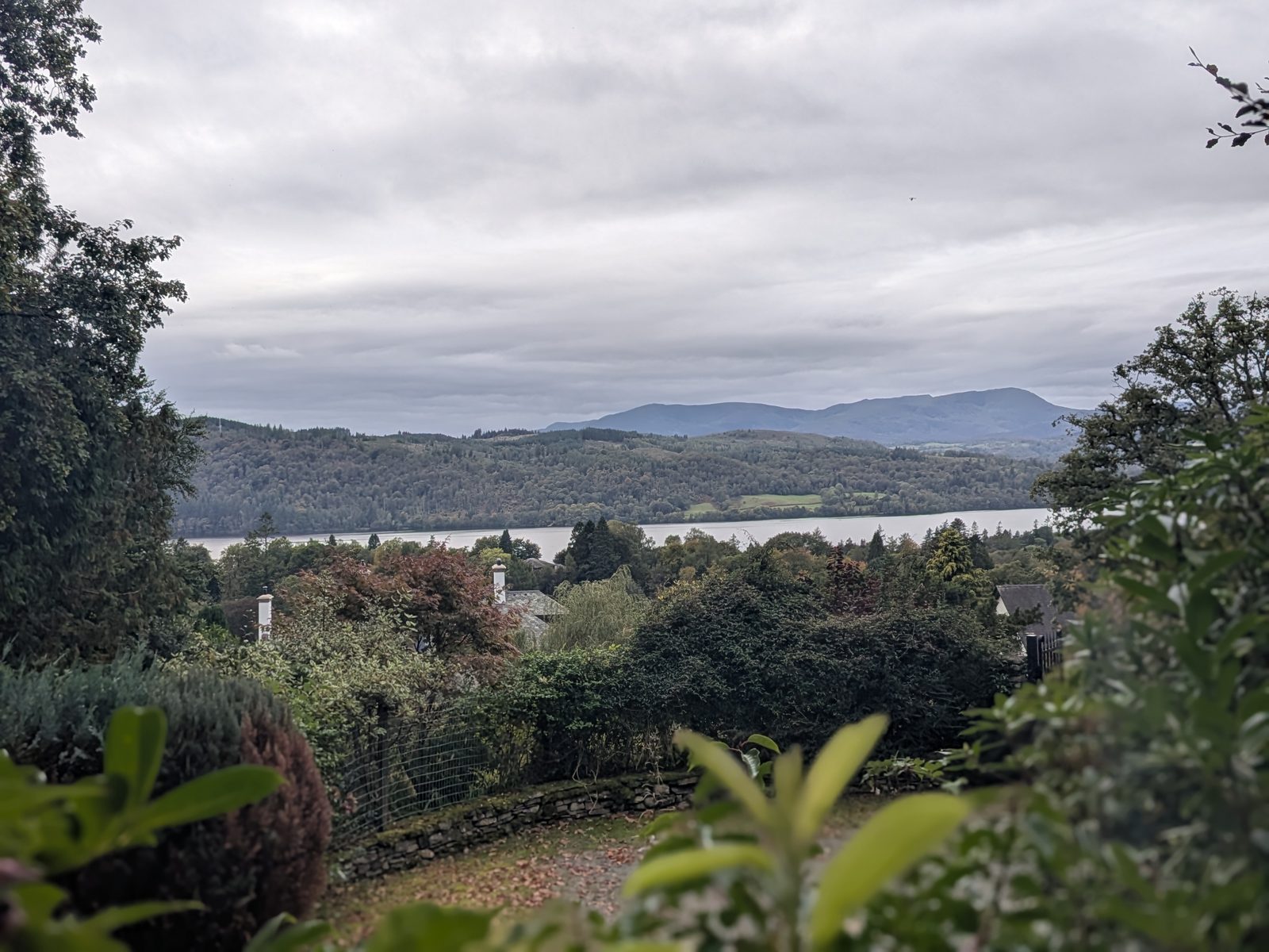
At the end of that path there is a "private land" sign. Turn left and walk up alongside it. A fenced path then runs behind houses, with a view of the lake over the gardens.
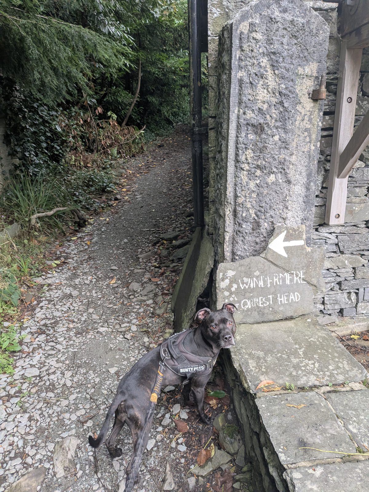
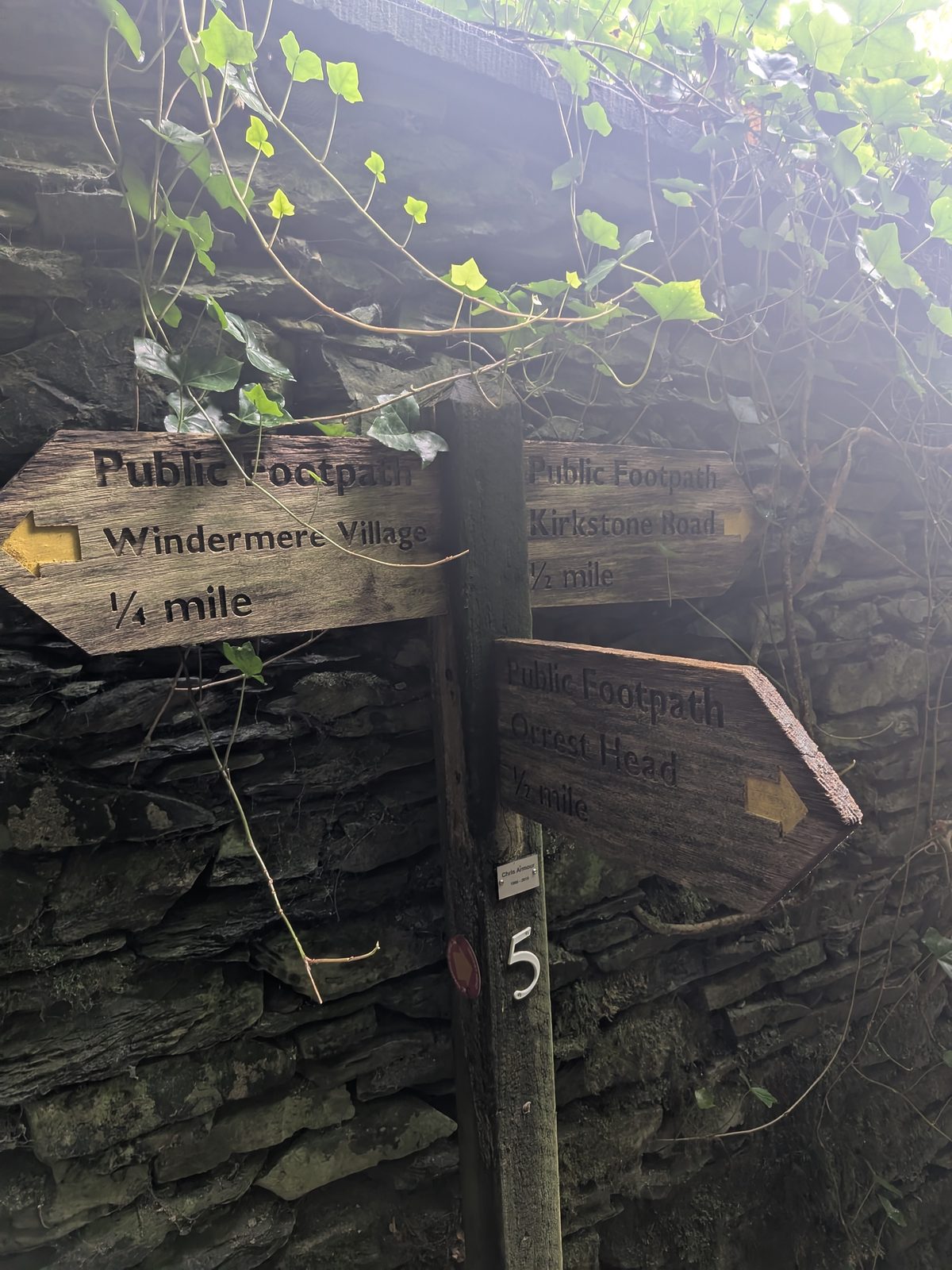
Next comes a painted stone reading "Windermere / Orrest Head" with arrows, then a three-way fingerpost (Windermere Village ¼ mile, Kirkstone Road and Orrest Head), then waymarker post 1, with the Miles Without Stiles roundel.
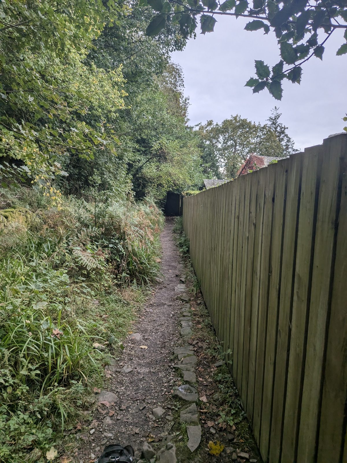
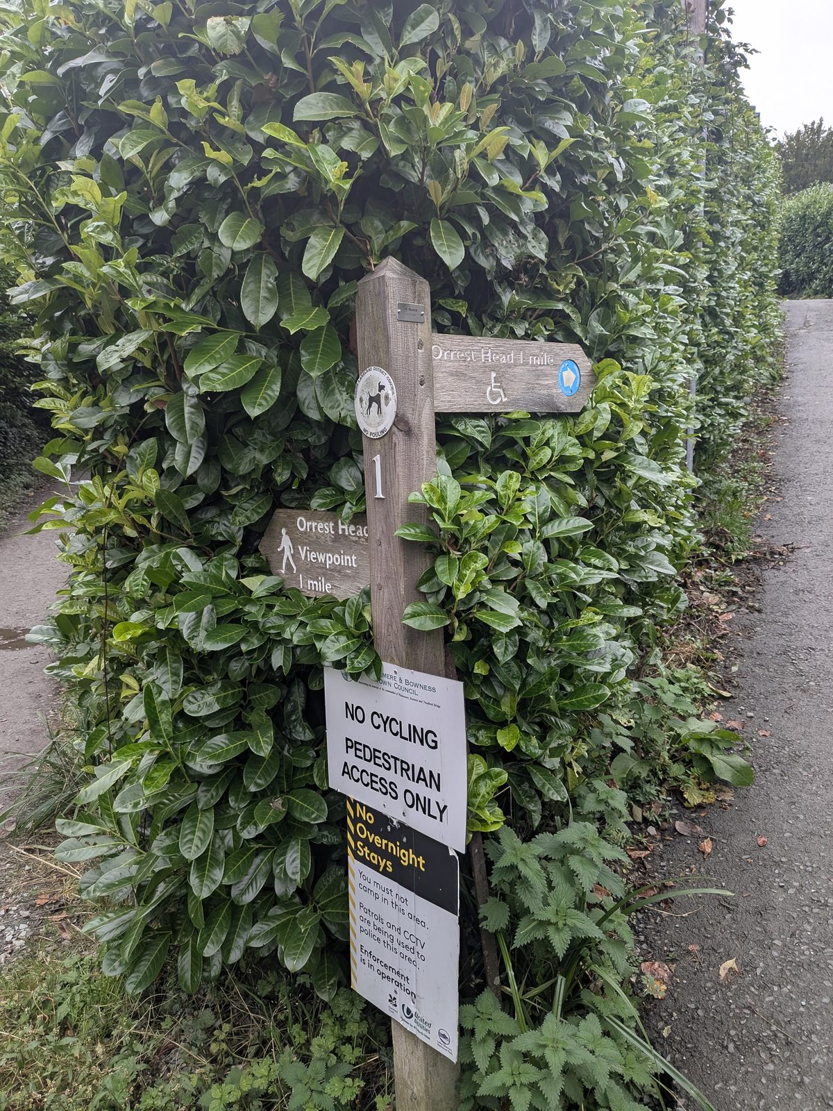
You come out at the main entrance on the A591, ///octagon.system.skid, by the welcome boards. If you parked in the layby, it is a walk back along the A591 towards Booths. We stopped at the pub instead.
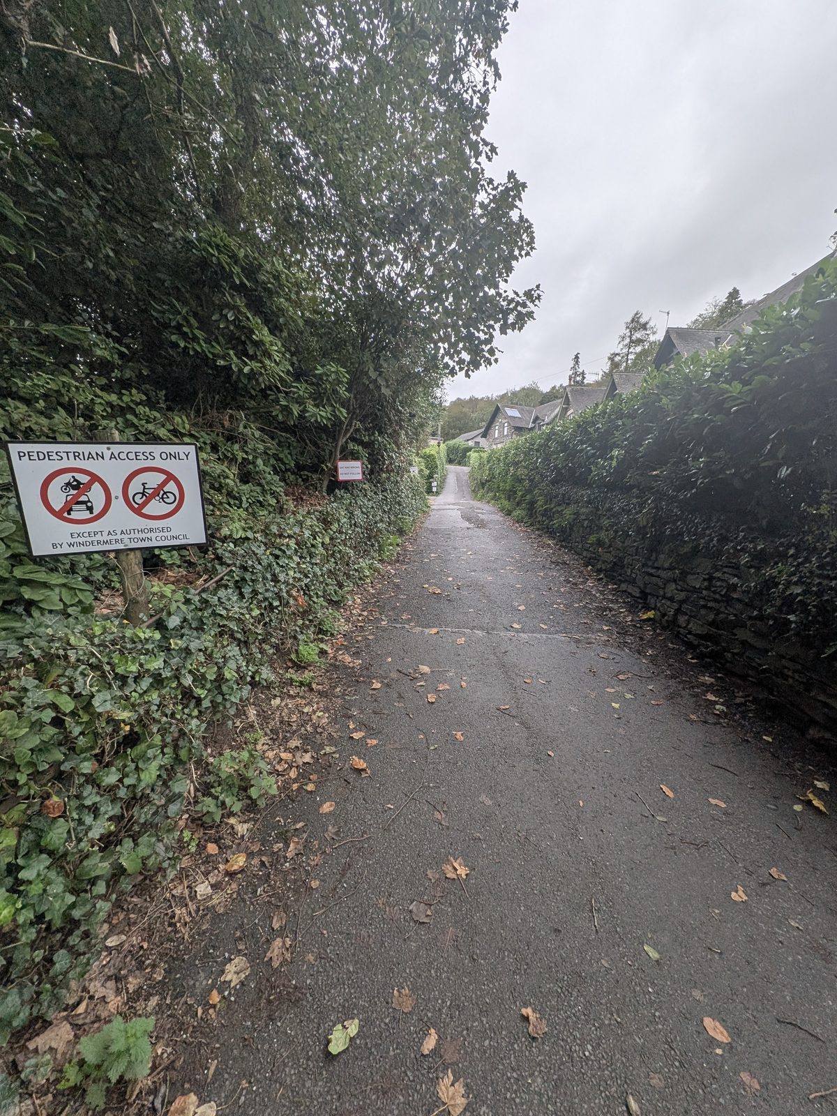
Route description is a guide, not turn-by-turn navigation.
Food and drink
Down the road from the main entrance there are two pubs within about 40 yards of each other, and they suit different days. This is our own take.
The Elleray is the quieter, more upmarket of the two, good for families, with a good food offer. Its board advertises pub food, Sunday lunch, a kids' menu and a beer garden, and it is dog friendly. It's where we went after the walk.
The Queens Hotel is the one if you're out with adults and want it a touch louder: more of a crack, with the football on the TV.
Check opening and food times before you go.
Orrest Head Gruffalo
The Gruffalo carvings that used to stand in Elleray Wood were removed in February 2025. We saw none on our visit. The licensed Gruffalo trails in the Lakes are at Grizedale (see Grizedale Forest near Hawkshead) and at Whinlatter.
Good to know
Keep exploring
The town and the lake: boat hire, parking, food and the rest of the day.
More walks near Windermere, from lakeshore strolls to Gummers How.
The piers, the cruises and the lakeside, 1.5 miles down the hill.
Forest trails and the Gruffalo, near Hawkshead.