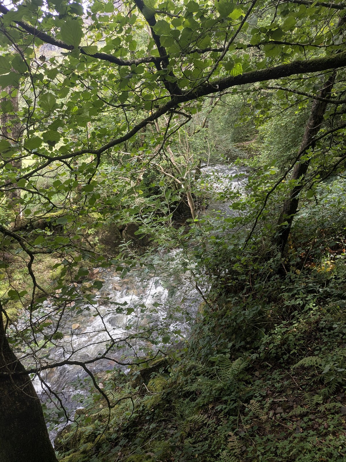
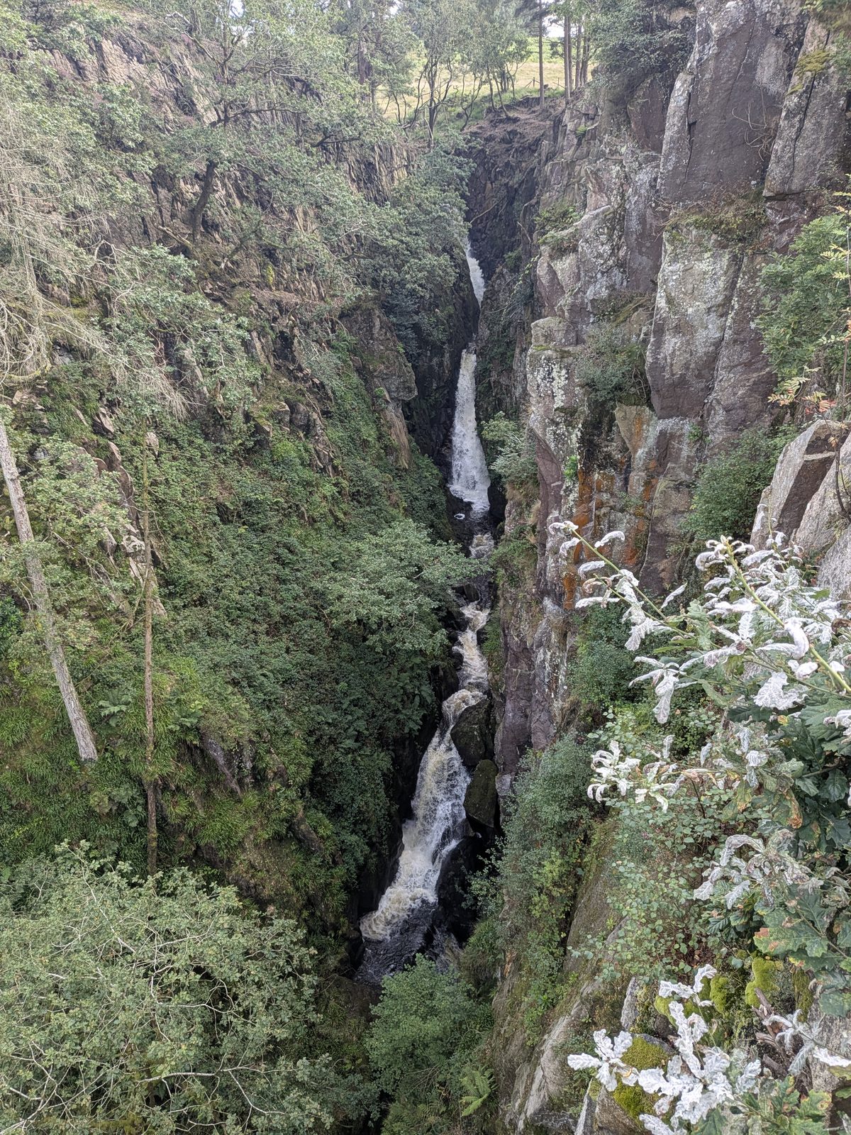
Stanley Ghyll Force falling into its fern-hung rock gorge above Boot in Eskdale, Lake District
Eskdale · Boot · Waterfall

Stanley Ghyll Force (Dalegarth Falls), Eskdale

One waterfall with two names, in a steep wooded gorge above Boot. The signs on the ground say Dalegarth, the maps say Stanley Ghyll, and the people at the viewing platform argue about which one they have reached. This page settles it, and gets you there.

Written and walked by Peter Visited Monday 31 August 2026
2 names
Stanley Ghyll Force and Dalegarth Falls, one waterfall
Closed
Lower falls path, under a 2025 order
2 to 3 hrs
The Dalegarth Station circular
No signal
Download the map before you set off
Two names Lower falls closed Viewing platform Parking Route 1 Route 2 Safety Nearby FAQ

The naming problem

Two names, one waterfall

Stanley Ghyll Force and Dalegarth Falls are the same waterfall. It drops through a narrow gorge on Stanley Gill Beck above Boot, and which name you know it by depends on where you first read about it. The Lake District National Park's own Walk 3 interpretation board labels the falls Dalegarth Falls on its map, while the introduction panel on the same board calls it "the dramatic waterfall in Stanley Gill". Older sources say Dalegarth Force. Google Maps has it as Stanley Ghyll.

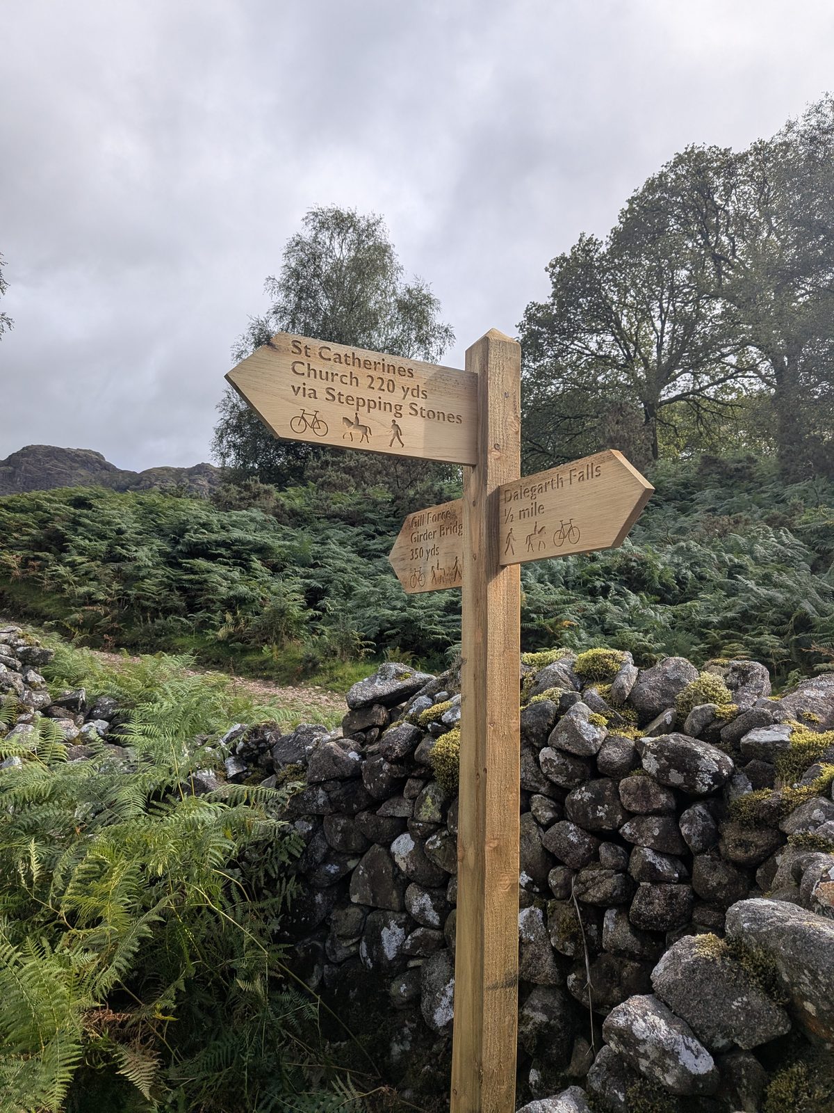
On the ground it gets simpler and more confusing at once: every waymarker points to "Waterfalls" or "Dalegarth". None of them say Stanley Ghyll. If you arrived looking for Stanley Ghyll Force, nothing on a fingerpost will confirm you are heading the right way.

We know this because we got lost. On our visit we met two other walkers who were also lost, and when we finally reached the viewing platform, two people were standing on it arguing about whether they were at Stanley Ghyll or Dalegarth. They were at both.

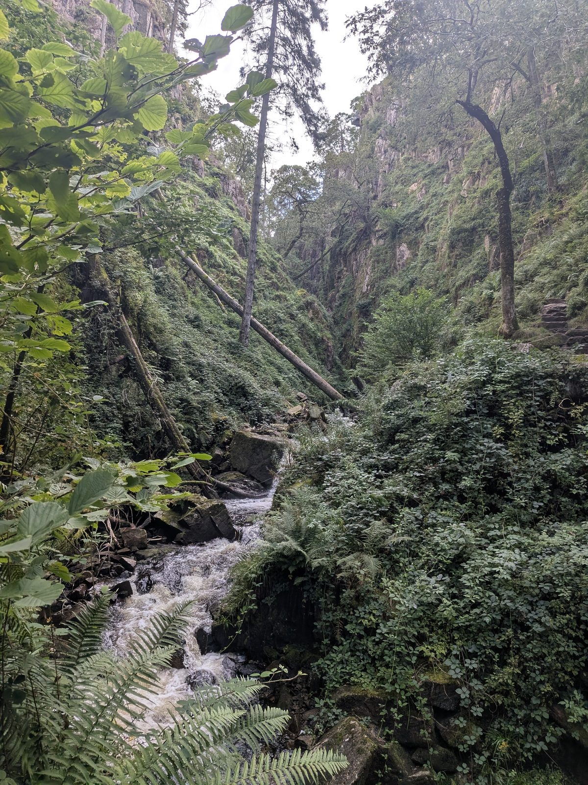
Stanley Ghyll Force in its rock gorge, Eskdale
Stanley Ghyll Force, also signed as Dalegarth Falls.
A fallen tree across the Stanley Ghyll gorge, Eskdale
A fallen tree in the Stanley Ghyll gorge.

Gill Force is not a waterfall

A third name gets mixed into this. Gill Force is a deep, clear pool on the River Esk, enclosed by rock and woodland, about 20 yards from the girder bridge below St Catherine's Church — a pool, not a waterfall, and the two are often confused. On our visit the approach path to it was blocked by fallen trees about 15 yards short. It is not Stanley Ghyll Force, and neither of them is Tom Gill Force, which is at Tarn Hows near Coniston and has nothing to do with Eskdale.

Before you set off

The lower falls path is closed

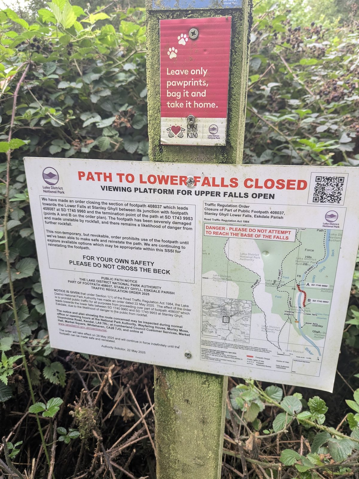
The Lake District National Park Authority has closed footpath 408037, Stanley Ghyll Lower Falls, between grid references SD 1740 9960 and SD 1743 9953, under a Traffic Regulation Order 2025 dated 22 May 2025 and in force from 28 May 2025. The reason given on the notice is that the path has been severely damaged and made unstable by rockfall, with a continuing danger of further falls.

The order is described as non-temporary but revocable. In plain terms it stays in force indefinitely, until the path can be made safe, and there is no reopening date. The notice is explicit on two points: the viewing platform for the upper falls is open, and you should not cross the beck.

Lake District National Park Authority notice on the lower falls path at Stanley Ghyll: path to lower falls closed, viewing platform for upper falls open
The Lake District National Park Authority notice on the lower falls path: Traffic Regulation Order 2025, dated 22 May 2025 and in force from 28 May 2025.

What you are walking to

The viewing platform

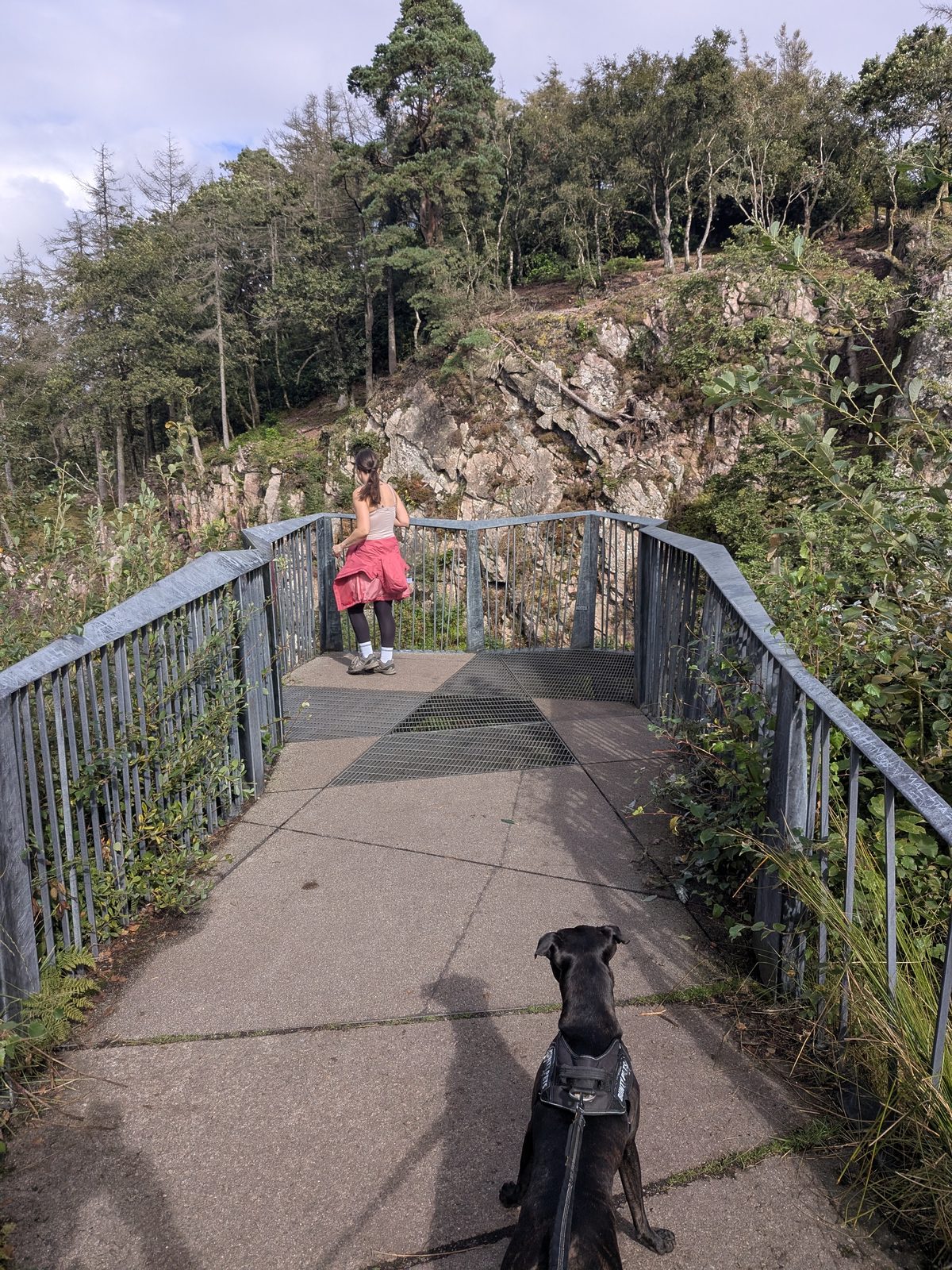
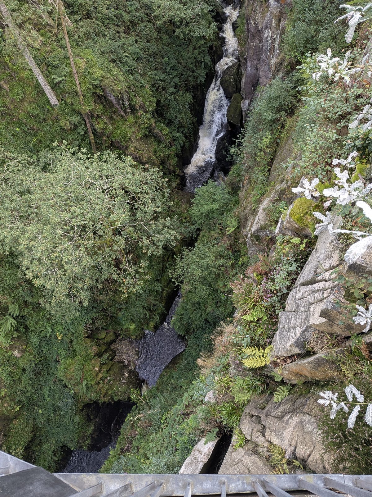
With the lower path closed, the upper falls viewing platform is where the walk ends, and it is a better vantage point than it sounds. It is built out over the gorge, and the floor is in two parts: an open metal grid you can see straight down through, and a solid section.

That second part matters. If you're not a huge fan of heights, like me, you can stay on the solid section and still see the falls. You do not have to stand on the grid to get the view. Nobody tells you that on a sign, so we are telling you here.

Cass the Staffordshire Bull Terrier on the viewing platform for the upper falls at Stanley Ghyll Force, Eskdale
Cass, our Staffordshire Bull Terrier, on the viewing platform for the upper falls.
The viewing platform at Stanley Ghyll Force above the gorge, Eskdale
The viewing platform at Stanley Ghyll.

Heights and drops: third-party sources commonly quote a main drop of around 60ft within a longer series of falls. We have not measured it, so treat that as the figure that gets repeated rather than one we can stand behind. The 150ft sheer drop sign at the gorge is a warning about the drop beside the path, not a measurement of the waterfall.

Getting there and parking

Where to start, and where to leave the car

There is no phone signal in the valley. Download the map before you set off. Once you are in Boot you will not be able to load it, and this is a walk where people get lost.

Three places to start, each with a what3words address. Which one you pick decides which route below you follow.

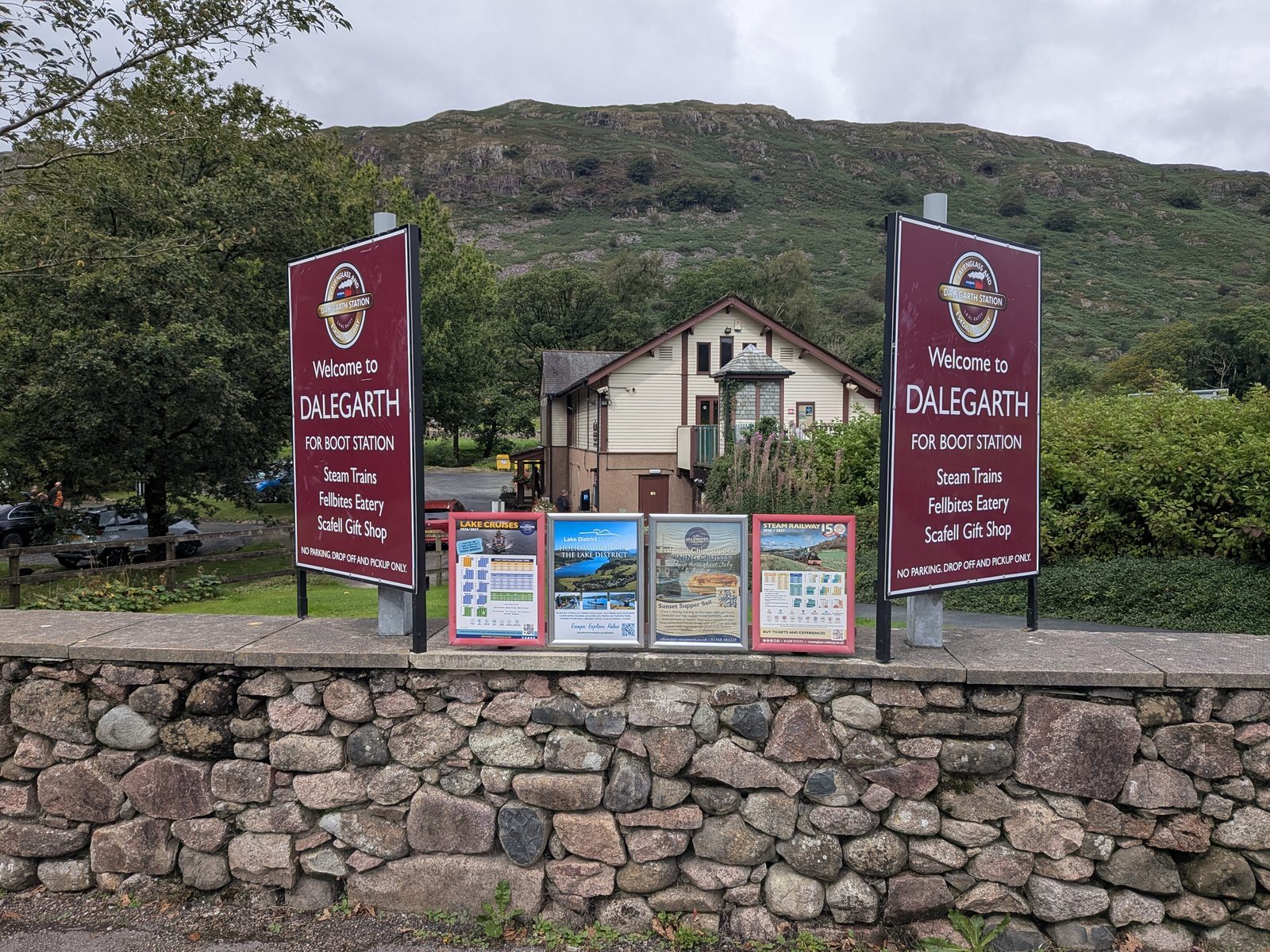
Dalegarth Station

The terminus of the Ravenglass & Eskdale Railway, with parking, a café and a small shop. The start of the recommended circular, and the easiest place to find.

///indeed.gazes.agrees

Boot war memorial

About 100 yards from the main road. The road down from the memorial runs along the River Esk, and there is parking up there signed for the Dalegarth waterfalls.

///forecast.candidate.students

The Boot Inn

Where we parked for the shorter St Catherine's loop. Go in and ask about parking first. The lonning to the church starts opposite.

///chestnuts.pedicure.obstinate

The lonning: read this before you drive down it

The lonning opposite The Boot Inn runs about 660 yards down to St Catherine's Church. It starts as a road, but about 400 yards past the houses it becomes very narrow. A small car got through while we were there; nothing larger is recommended. We parked at the pub and walked. If you do drive down, there is free parking just past the church.

The St Catherine's loop itself starts at ///sadly.mutual.bolsters, right beside the church.

Dalegarth for Boot station on the Ravenglass and Eskdale Railway, Eskdale
Dalegarth Station, the start of the recommended circular.
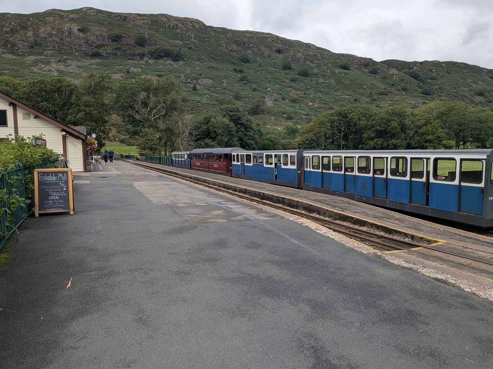
A Ravenglass and Eskdale Railway train at Dalegarth station
A train at Dalegarth.

The four points on a map

Interactive map © OpenStreetMap contributors. Pins mark the four what3words points above. Pin positions are approximate — navigate by the what3words address and always follow the on-the-ground path and signage. No route line is drawn because the route has not been GPX-logged.

Route 1 · Recommended · 2 to 3 hours

The Dalegarth Station circular

This is the route the signs are built for, and the one to follow if you have not been before. It uses the well-made main path all the way to the viewing platform and returns past St Catherine's Church. No phone signal: have the map downloaded before you leave the station.

1

Dalegarth Station to the main road

Start at Dalegarth Station, ///indeed.gazes.agrees. Head up to the main road and turn into Boot.

2

Boot to the war memorial

Walk through Boot to the war memorial, ///forecast.candidate.students, about 100 yards from the main road.

3

Down the road along the Esk

Take the road down from the war memorial along the River Esk. There is parking up here signed for the Dalegarth waterfalls, so this is also where you join if you drove to the memorial rather than the station.

4

The main path to the viewing platform

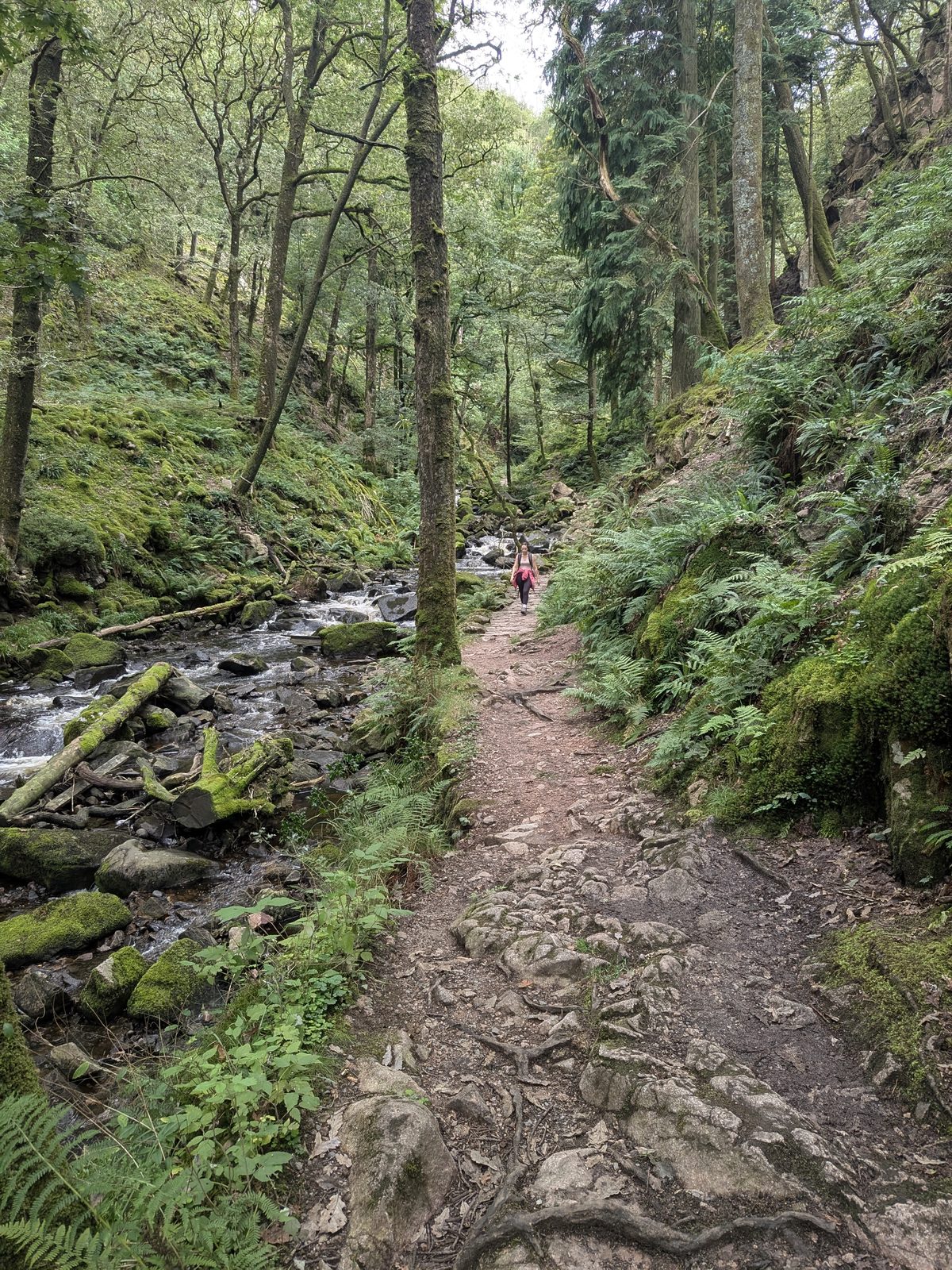
Follow the well-made main path up into the gorge to the upper falls viewing platform. The path to the lower falls is closed; the platform is where the route ends.

5

Back via St Catherine's Church

Return via St Catherine's Church to complete the circular back to the station.

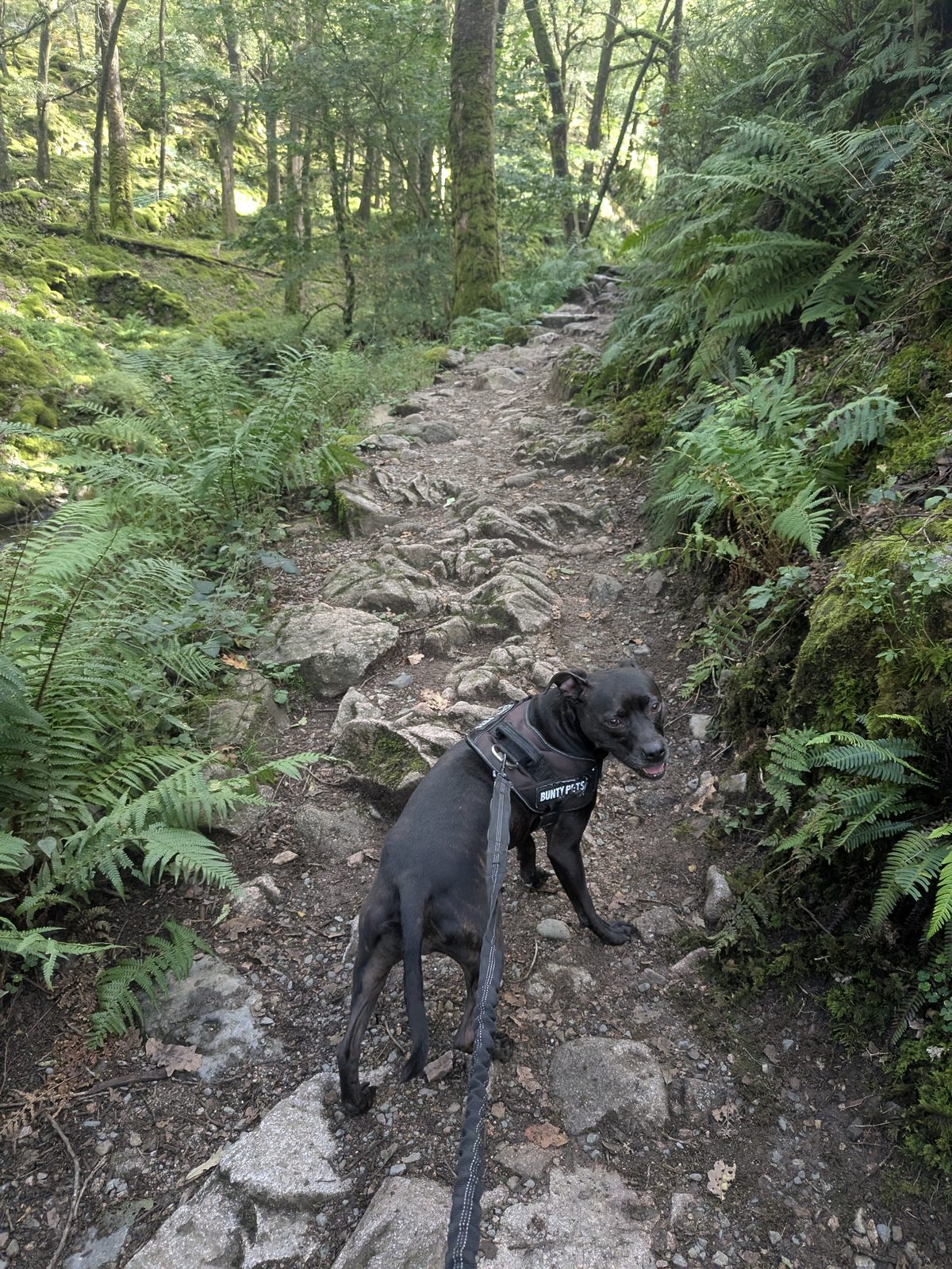
The main path up through the woods at Stanley Ghyll, Eskdale
The well-made main path up Stanley Ghyll.
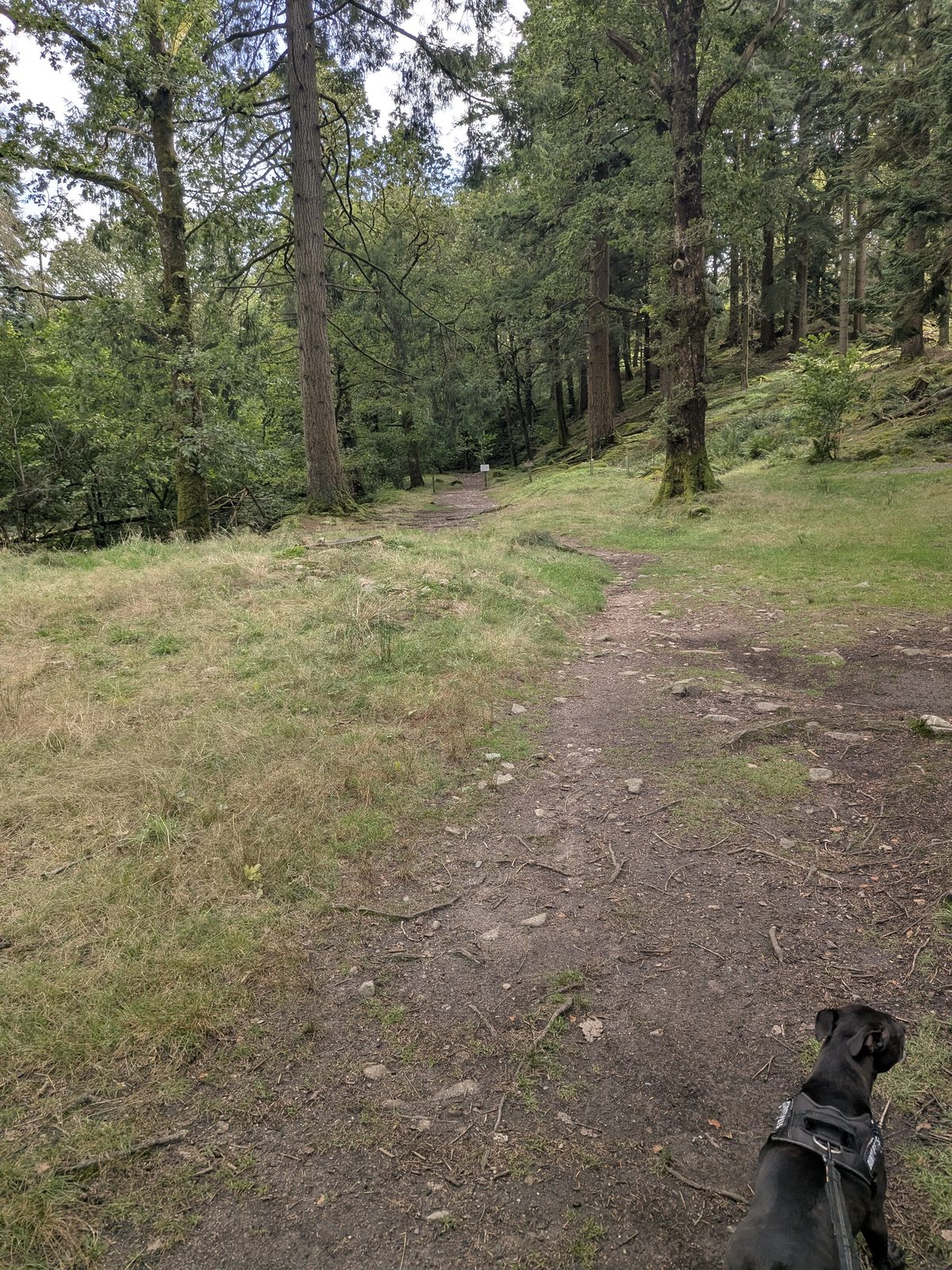
The path through the Stanley Ghyll woods, Eskdale
The path through the Stanley Ghyll woods.
Cass the Staffordshire Bull Terrier on the Stanley Ghyll path, Eskdale
Cass, our Staffordshire Bull Terrier, on the Stanley Ghyll path.

Route 2 · Shorter, more confusing

The St Catherine's loop, and the turn where everyone gets lost

This is the route we walked. It is shorter than the station circular, and it is the one people get lost on, because the final stretch to the main path is a faint route rather than a made one. No phone signal: download the map first. Park at The Boot Inn, ///chestnuts.pedicure.obstinate, and ask inside before you leave the car.

1

Down the lonning to St Catherine's Church

From The Boot Inn, the lonning opposite runs about 660 yards down to St Catherine's Church. The route proper starts at ///sadly.mutual.bolsters, right beside the church. Read the lonning warning above if you are thinking of driving it.

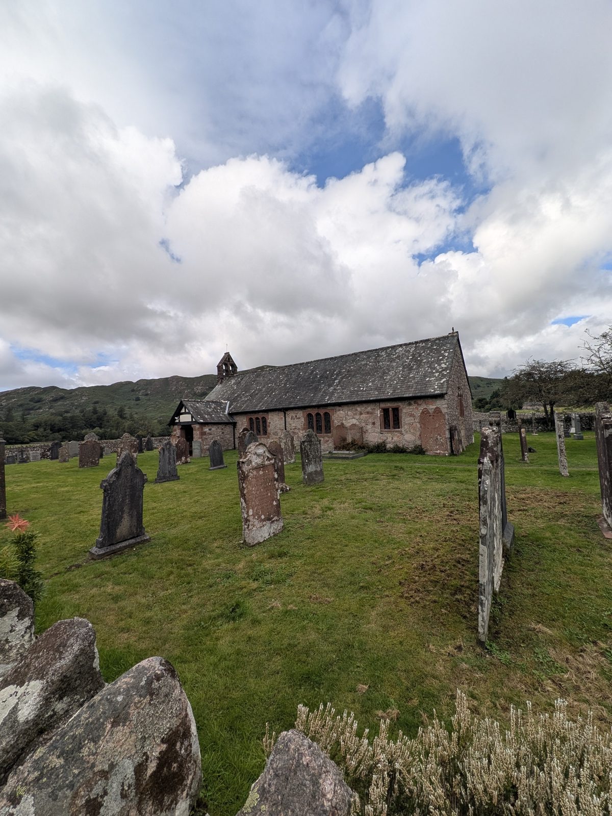
St Catherine's Church beside the River Esk at Boot, Eskdale
St Catherine's Church. The loop starts beside it.
2

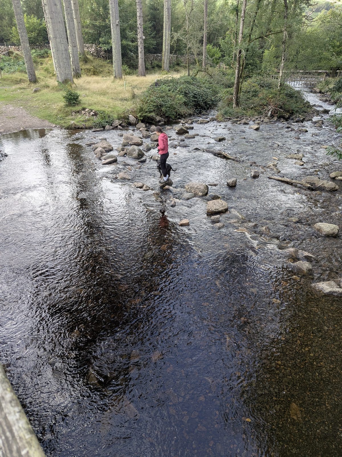
Cross the Esk by the stepping stones

Stepping stones cross the Esk by the church. If they are not passable, there is a signed alternative: turn left, go down the lonning about 300 yards, and cross the girder bridge instead.

The stepping stones across the River Esk next to the bridge below St Catherine's Church, Eskdale
The stepping stones over the Esk, next to the bridge.
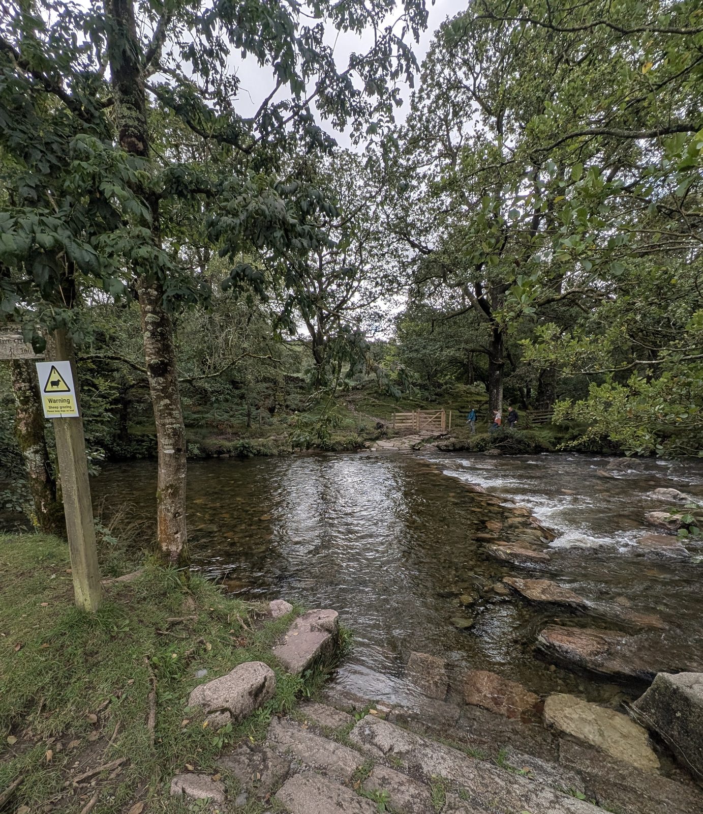
The River Esk crossing at St Catherine's, Eskdale
The River Esk crossing.
3

Gill Force, in passing

Gill Force is about 20 yards from the girder bridge: a deep pool on the Esk, not a waterfall. On our visit the path to it was blocked by fallen trees about 15 yards short, so check the way through is passable before you count on it.

The River Esk running fast through the trees just short of Gill Force, below St Catherine's Church, Eskdale
The Esk just short of Gill Force — fallen trees blocked the path to the pool itself on our visit.
4

Back along the river to the new sign, and turn RIGHT

After the girder bridge, turn right and walk back along the river the way you came, through the gate and across the field to a new-looking sign. Turn right at that sign, not left.

The new-looking direction sign on the St Catherine's route to Stanley Ghyll, Eskdale
The new-looking sign. Turn right here, not left.
5

Two five-bar gates and a bridge

Follow the path down to a five-bar gate, go through it, and cross the bridge over the Esk. Continue to a sign and a second five-bar gate. Do not go through the second gate. Turn left and head up the hill.

6

The navigation fix: along the wall to the main path

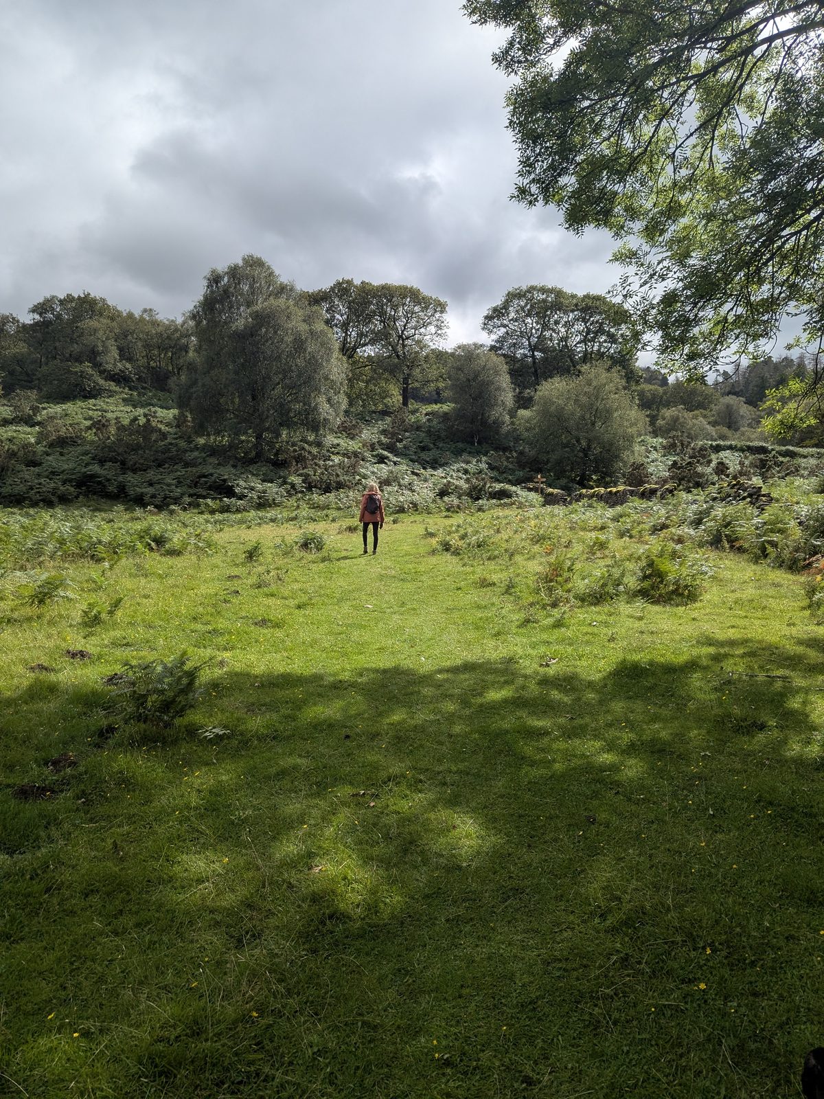
This is where people get lost, including us. From that second five-bar gate, head 50 to 70 yards up along the wall on a faint path, past a pub-style bench, until you hit the obviously well-made main path. Turn left. That is the main path up from the Dalegarth waterfalls car park; follow it up to the viewing platform.

The faint grass path leading up towards the main track to Stanley Ghyll, Eskdale
The faint path over the grass towards the main track. Keep the wall beside you until the made path appears.

Safety

What the signs say

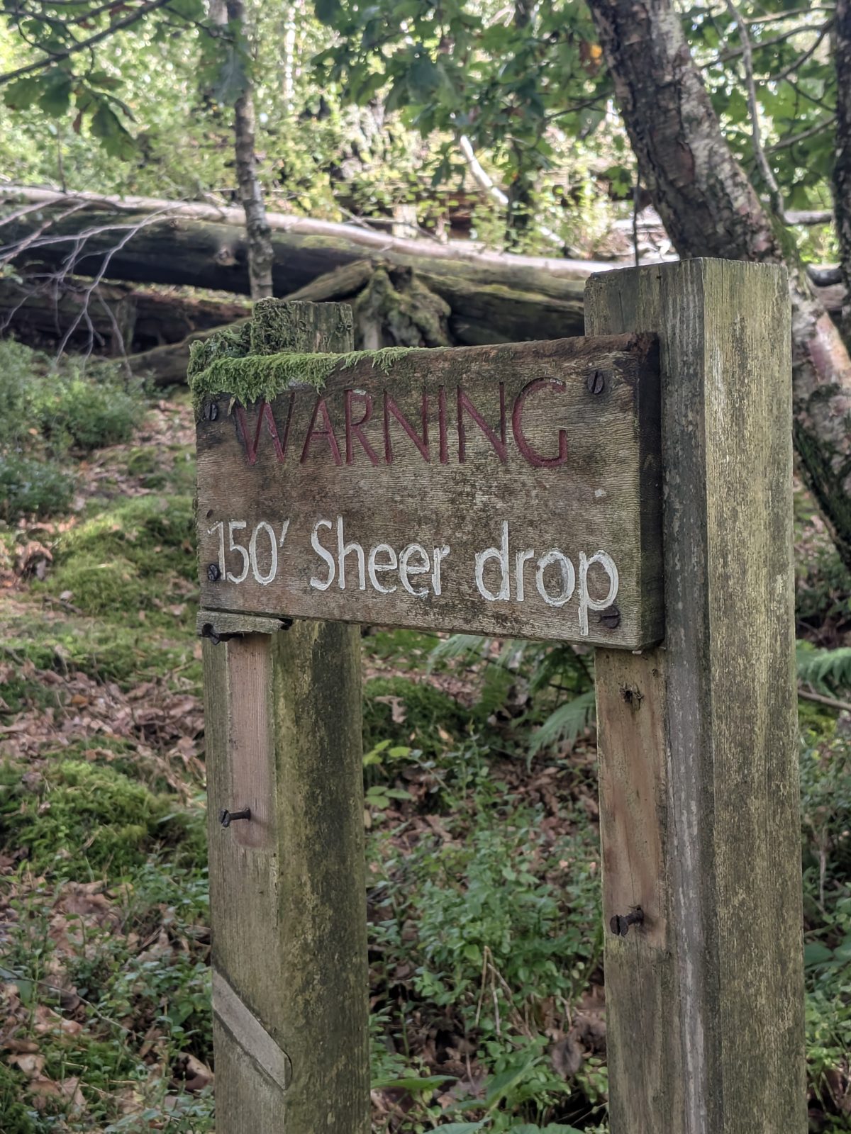
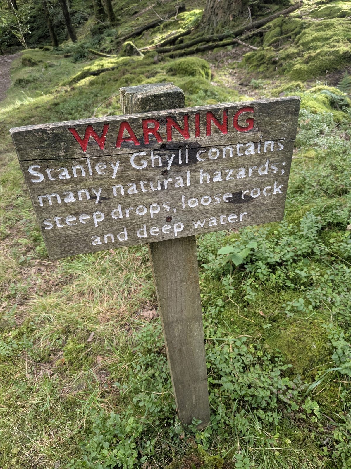
Stanley Ghyll is a gorge, and the signs on the way in are not decoration. The warning post reads: steep drops, loose rock and deep water. At the gorge itself a second sign reads 150ft sheer drop. The gorge paths are steep and slippery, and the drops beside them are unfenced. The lower falls path is closed because of rockfall, and the closure notice tells you not to cross the beck.

There is no phone signal in the valley, so nobody is calling for help from the gorge. Download the map before you set off, stay on the made path and the platform, and keep dogs on a lead near the edge.

Warning sign reading 150ft sheer drop at the Stanley Ghyll gorge, Eskdale
The 150ft sheer drop sign at the gorge.
Warning post at Stanley Ghyll listing steep drops, loose rock and deep water, Eskdale
The warning post: steep drops, loose rock and deep water.

Around Boot

Nearby, before and after the falls

Boot is small, and everything here is within a few minutes' walk of the route. Hours and prices change, so check with each place directly.

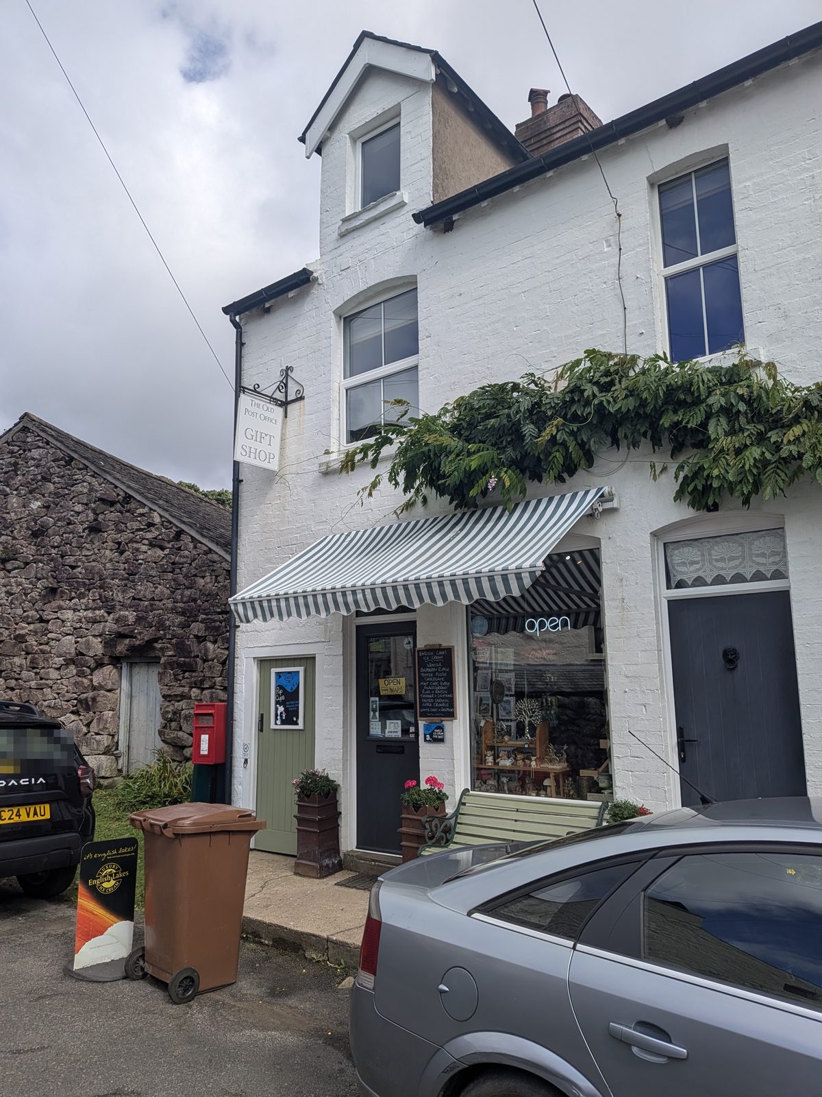
The Old Post Office, Boot

The village shop and gift shop, with the post box outside. Most people assume it is ice cream and drinks only, but the owner makes a limited number of sandwiches to order. Worth knowing before you set off up the gorge.

The Boot Inn

The pub at the top of the lonning, and where we left the car for the St Catherine's loop. Ask inside about parking before you walk off.

The Boot Inn website

Dalegarth Station

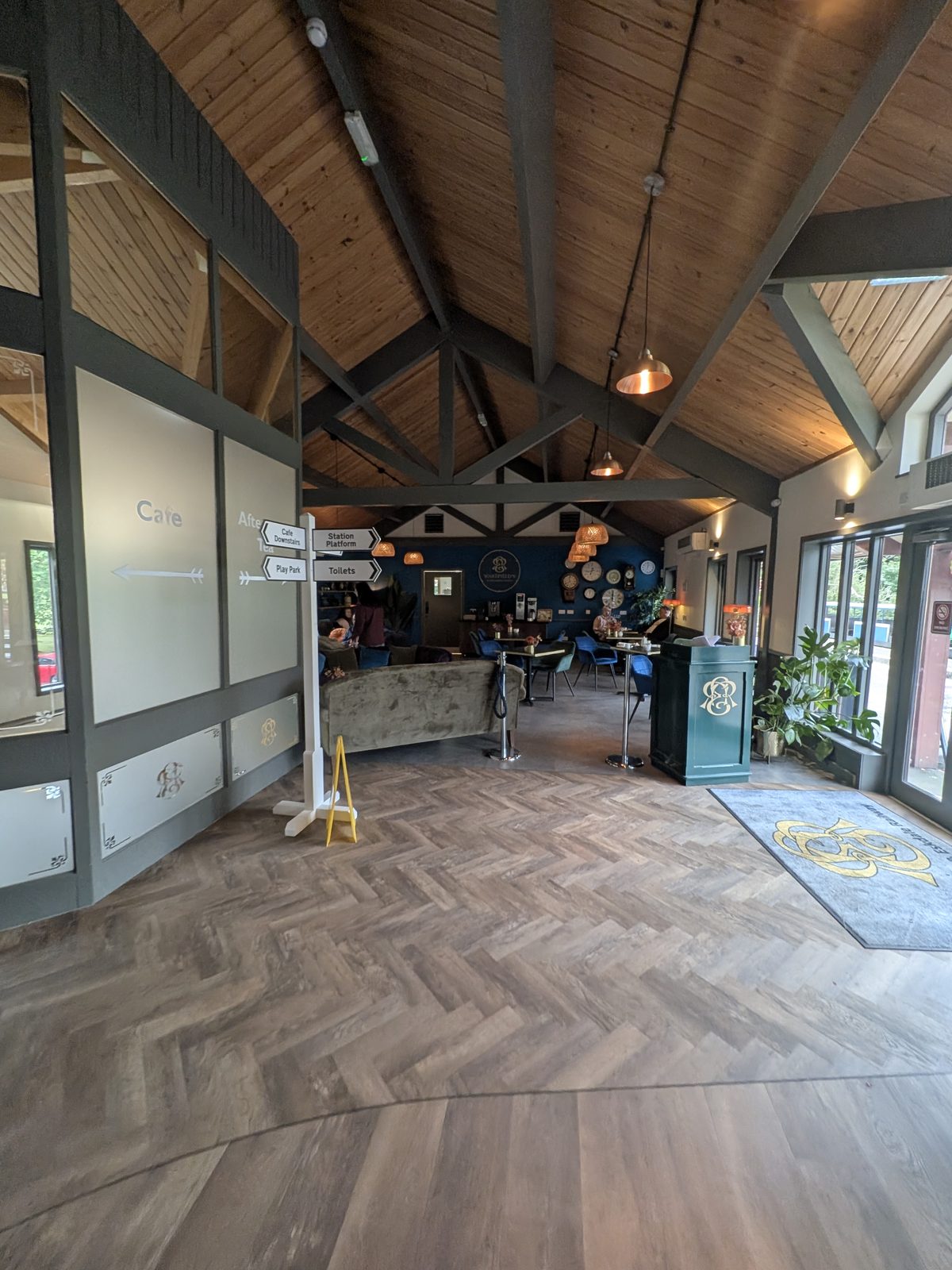
The terminus of the Ravenglass & Eskdale Railway. The café at Dalegarth Station does food, and there is a small shop, so it works as the start and the finish of the circular.

Ravenglass & Eskdale Railway

Eskdale Mill

A 1500s water mill about a ten-minute walk from Boot, run by the Eskdale Mill & Heritage Trust. Family and dog friendly in our experience; hours are on the board at the mill and on their site.

Eskdale Mill website
The Old Post Office in Boot, the village shop and gift shop, with the post box outside
The Old Post Office, Boot: village shop, gift shop and the post box outside.
Inside the café at Dalegarth for Boot station, Eskdale
Inside Dalegarth Station: the café.

Common questions

Stanley Ghyll Force, answered

Are Stanley Ghyll Force and Dalegarth Falls the same waterfall?
Yes. They are one waterfall on Stanley Gill Beck above Boot. The National Park's own interpretation board labels it Dalegarth Falls on the map and calls it the dramatic waterfall in Stanley Gill in the text. Older sources say Dalegarth Force, and Google Maps has it as Stanley Ghyll. Every waymarker on the ground points to Waterfalls or Dalegarth, and none of them say Stanley Ghyll, which is why people standing at the viewing platform argue about where they are.
Is Stanley Ghyll Force open?
Partly. The viewing platform for the upper falls is open. The footpath to the lower falls is closed under a Lake District National Park Authority Traffic Regulation Order dated 22 May 2025 and in force from 28 May 2025, because the path was severely damaged by rockfall and remains unstable. The order is not temporary, though it can be revoked, and it has no reopening date. The notice also tells you not to cross the beck.
Where do you park for Stanley Ghyll Force and Dalegarth Falls?
The simplest option is Dalegarth Station, at what3words ///indeed.gazes.agrees, which has parking, a cafe and a small shop, and is the start of the recommended circular. There is also parking on the road down from the Boot war memorial, signed for the Dalegarth waterfalls. For the shorter loop from St Catherine's Church, we parked at The Boot Inn at ///chestnuts.pedicure.obstinate and asked inside first. There is free parking just past the church for anyone who drives down the lonning, but it becomes very narrow after the houses and nothing larger than a small car is recommended.
How long is the Stanley Ghyll walk?
The Dalegarth Station circular, up through Boot to the falls and back past St Catherine's Church, takes two to three hours. The loop from St Catherine's Church is shorter but easier to get lost on, because the last stretch to the main path is a faint route along a wall rather than a made path.
Is Gill Force a waterfall?
No. Gill Force is a deep, clear pool on the River Esk, enclosed by rock and woodland, about 20 yards from the girder bridge below St Catherine's Church. The waterfall is Stanley Ghyll Force, some distance away, and the two are often confused. On our visit the approach path to the pool was blocked by fallen trees about 15 yards short. Neither has anything to do with Tom Gill Force at Tarn Hows near Coniston.
Is the Stanley Ghyll viewing platform safe if you don't like heights?
The platform for the upper falls has two kinds of floor: an open grid section you can see straight down through, and a solid section. If you are not a fan of heights you can stay on the solid part and still see the falls. Around the platform the gorge paths are steep and slippery with unfenced drops, and the signs warn of steep drops, loose rock and deep water, so the platform is the safe place to stand, not the paths beside it.
Is there phone signal in Eskdale?
No, not in the valley around Boot and the falls. Download the map before you set off, because you will not be able to load it once you are there. That matters most on the St Catherine's loop, where the route leaves the made path.
Can dogs do the Stanley Ghyll walk?
Cass, our Staffordshire Bull Terrier, did the St Catherine's route with us, including the stepping stones and the climb to the viewing platform. Near the gorge, with its unfenced drops and deep water, a lead is the sensible choice.
Keep exploring

More in the western Lakes