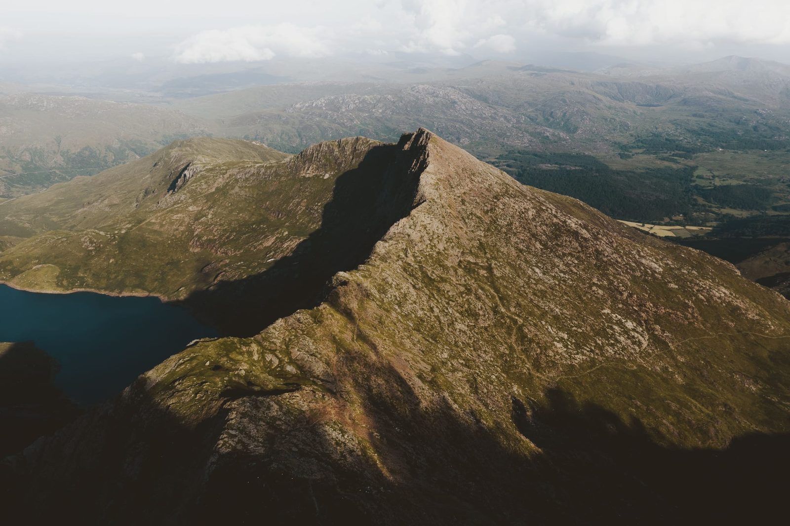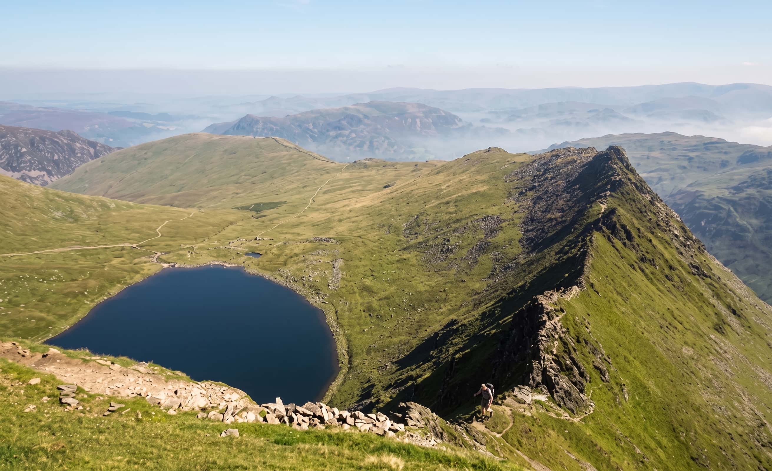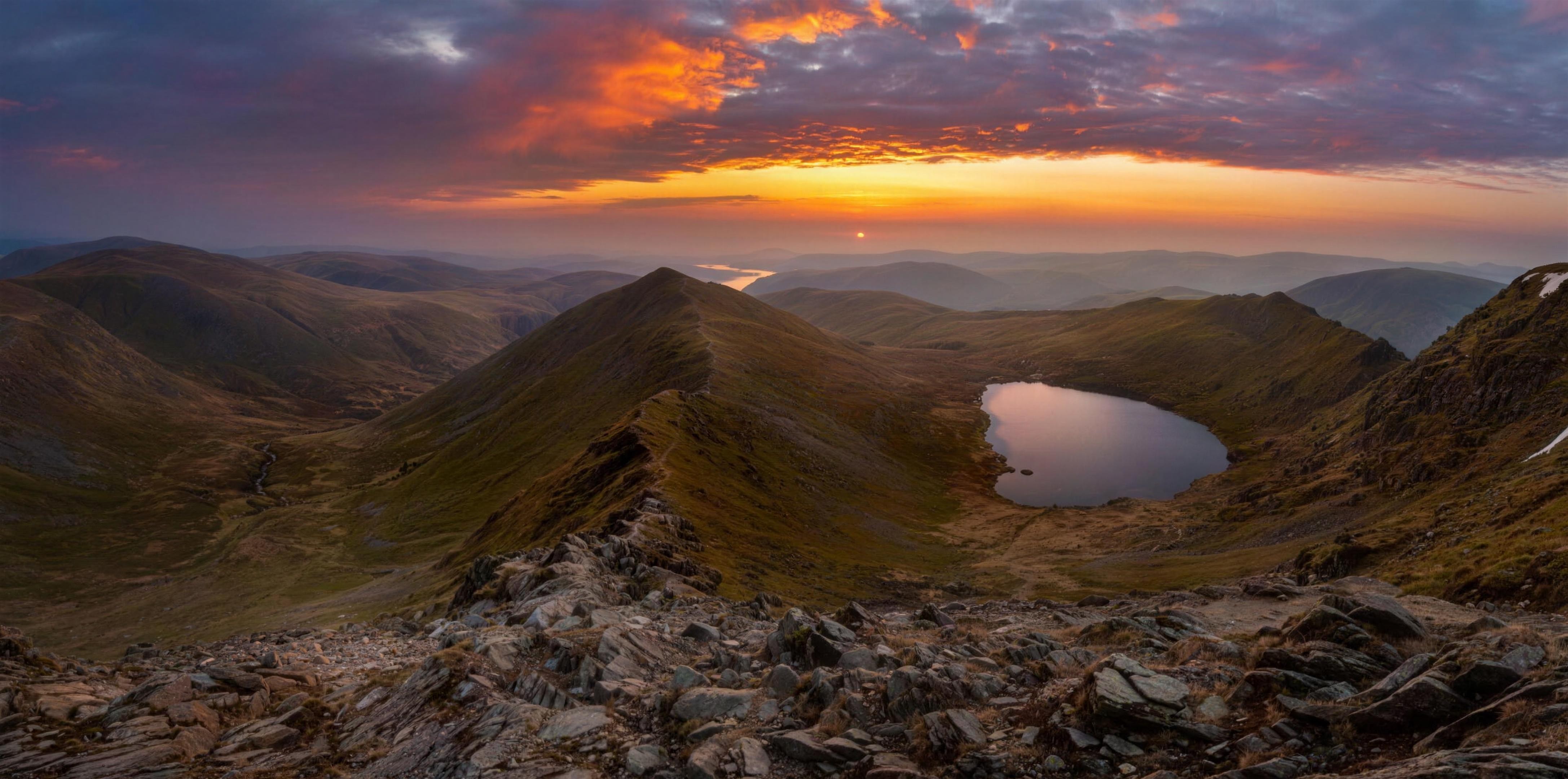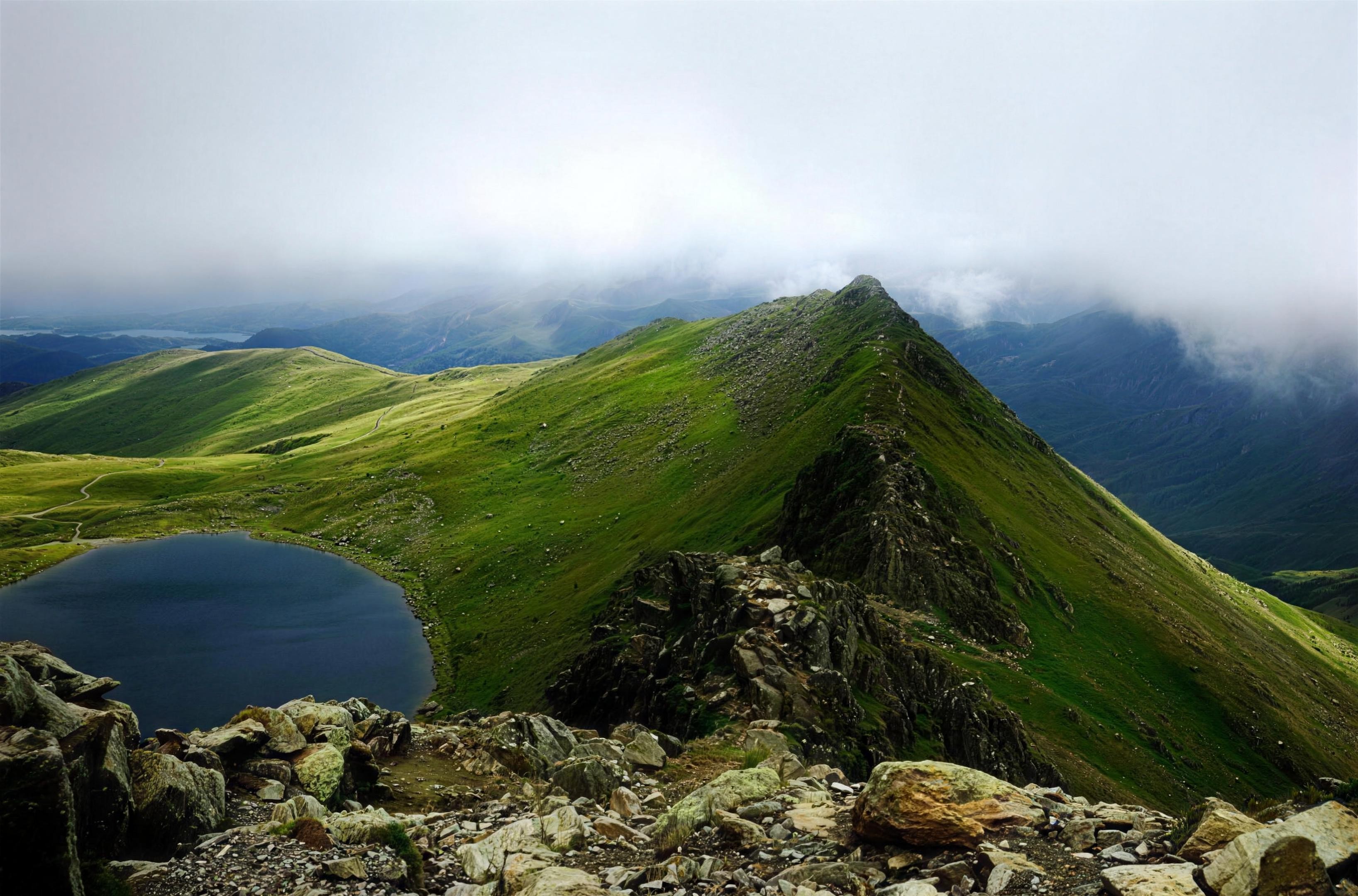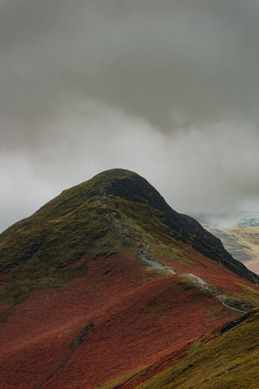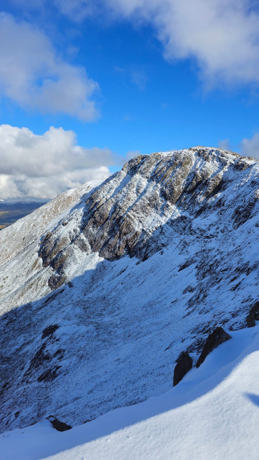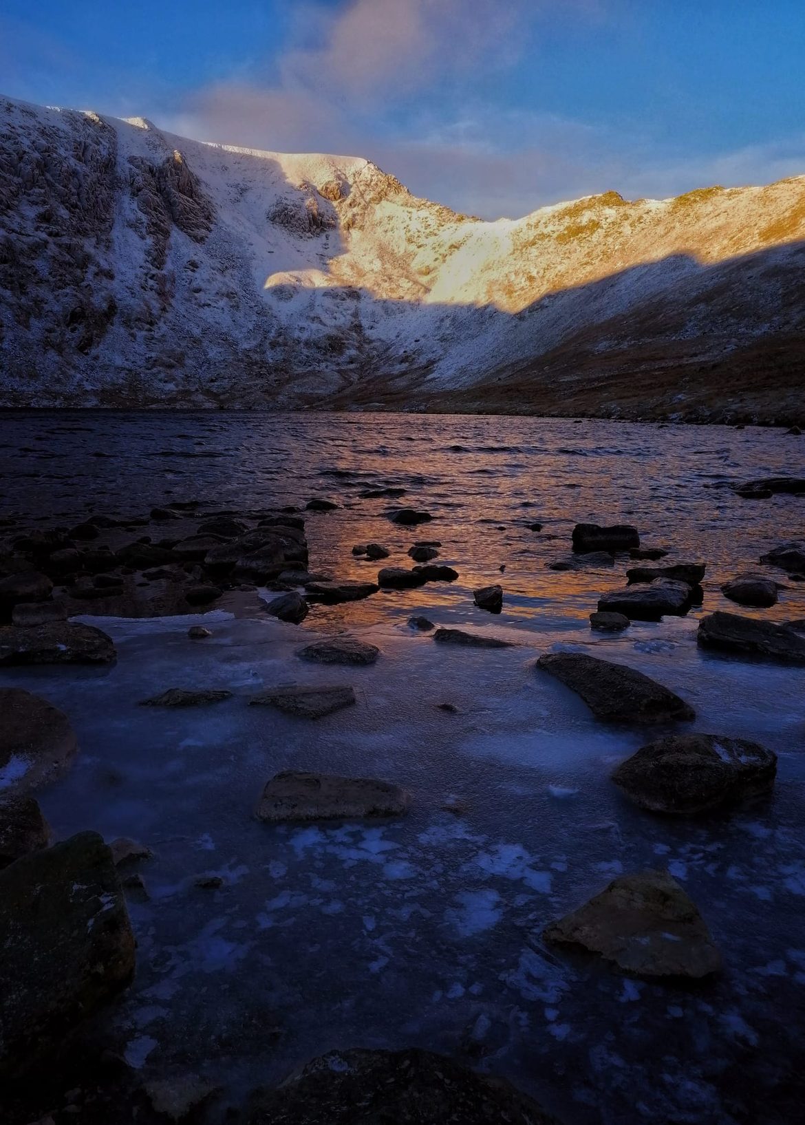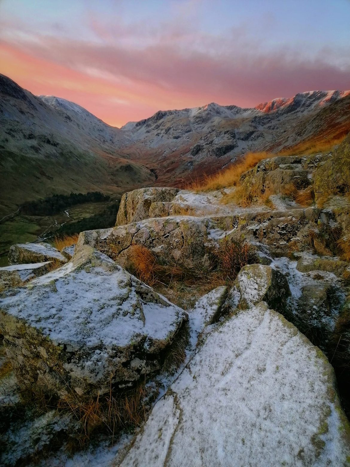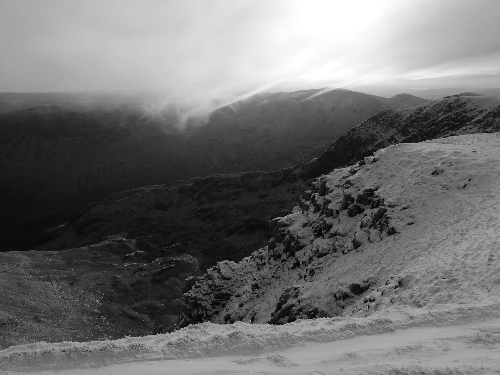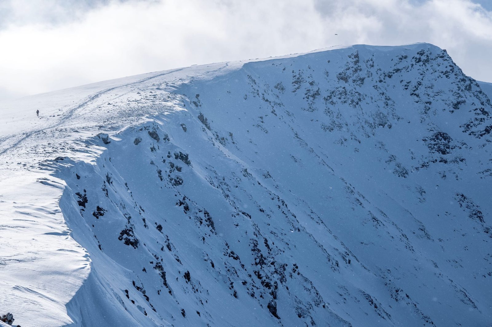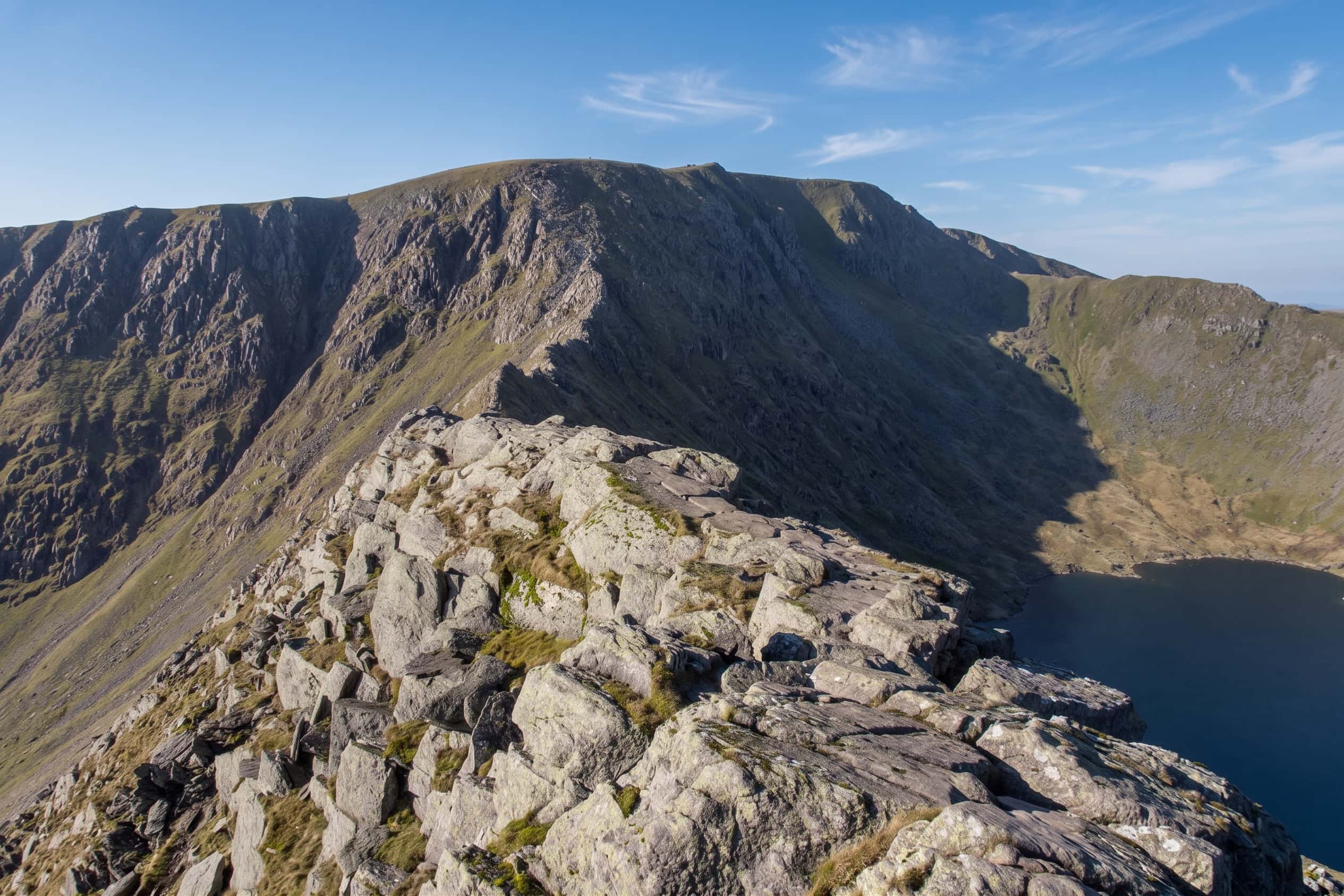
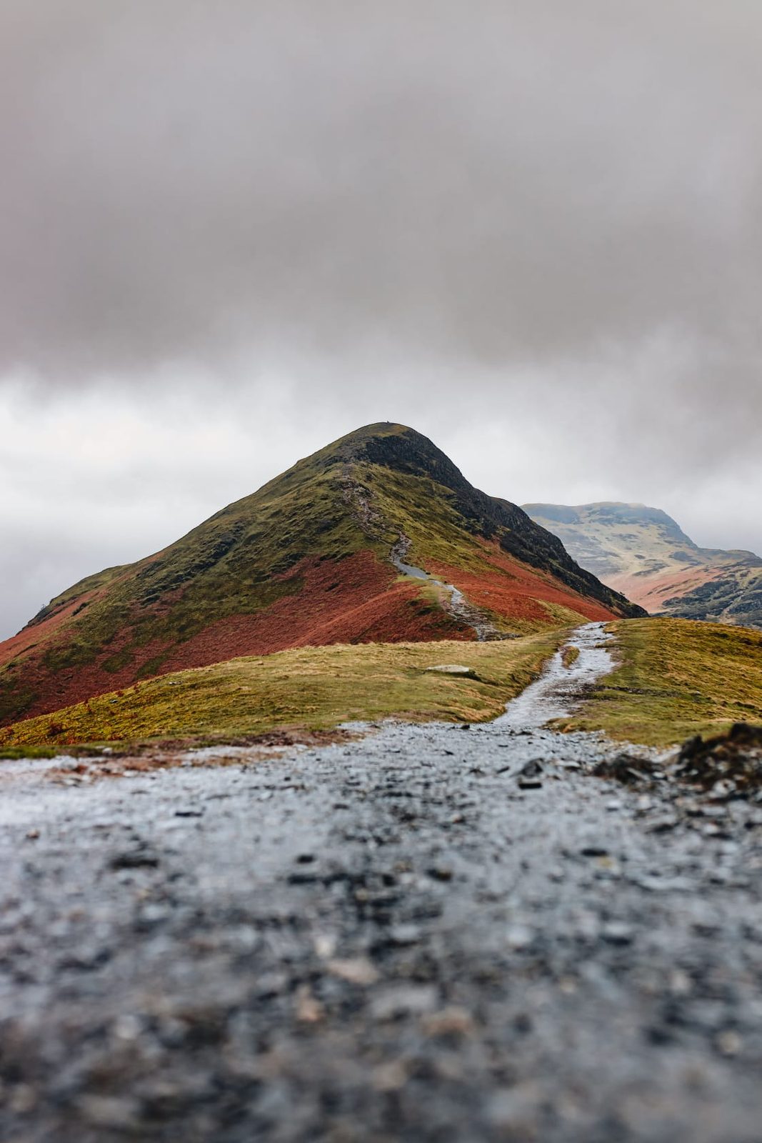
Helvellyn's summit plateau and ridges above Red Tarn, Lake District
Eastern Fells · 950 m · England's 3rd highest

Helvellyn

England's third-highest mountain, and one of its most rewarding — with a route to suit almost everyone. The famous Striding Edge scramble is only one way up; there are also honest, non-scramble walkers' routes to the summit. This page helps you choose the right one, safely.
950 m

Height · 3,117 ft

3rd

Highest in England

~7.5 mi

Classic round · 5–7 hrs

Choose

Scramble or walkers' route

England's favourite mountain

One summit, several very different ways up

At 950 m (3,117 ft), Helvellyn is England's third-highest mountain — behind only Scafell Pike and Sca Fell — and rises above Ullswater at the head of the Glenridding valley. In 2018 it was voted Britain's favourite walk, and with good reason: a huge whaleback summit, a dramatic eastern face scooped into corries, and the two most famous ridge scrambles in the Lake District, Striding Edge and Swirral Edge.

But here's the thing most pages bury: you do not have to scramble to climb Helvellyn. The knife-edge ridges are only one way to the top. There are steady walkers' routes to the same summit — and choosing the right one for your experience and the day's conditions is the single most important decision you'll make. That's what this page is for. The detailed treatment of the ridge itself lives on our dedicated Striding Edge page.

Difficulty descriptions here are indicative only. Real difficulty depends on the weather, the season and your own experience — always check conditions and turn back if in doubt.

On Striding Edge, Helvellyn — a photo by The Lakes Planner
On Striding Edge
On Striding Edge, Helvellyn — a photo by The Lakes Planner
On the crest of Striding Edge

Choose honestly

Which route is right for you?

Helvellyn offers two fundamentally different experiences. Be honest about which one suits you, your group and the conditions today — the mountain doesn't care how far you've driven.

The ridge round (scramble)

Experienced & confident only

Up Striding Edge and down Swirral Edge — a Grade 1 scramble along genuine knife-edge ridges with severe exposure and steep drops on both sides. Thrilling, and rightly famous, but a route where a slip can be fatal. For walkers with scrambling experience, a head for heights and good conditions. Not for beginners, children, or windy/icy days.

Read the full Striding Edge guide

The walkers' routes (no scramble)

Beginners & those avoiding the edges

You can reach exactly the same summit with no scrambling at all — steady paths from the Thirlmere side over Browncove Crags, or approaches from Glenridding that avoid the knife-edges entirely. Still a big mountain day that needs boots, navigation and a forecast, but without exposure. This is the honest answer to "can beginners do Helvellyn?"

See the safe routes below
On Striding Edge, Helvellyn — a photo by The Lakes Planner
On Striding Edge, Helvellyn

The famous one

The classic round: Striding & Swirral

The route that made Helvellyn famous starts in Glenridding, climbs past Red Tarn to the Hole-in-the-Wall, then goes up Striding Edge to the summit and descends the shorter, steeper Swirral Edge over Catstye Cam. It's about 7.5 miles / 12.4 km, 5–7 hours, with ~820–915 m of ascent — a Grade 1 scramble in summer and a full mountaineering route under snow.

Because the ridge deserves proper, honest treatment — the exposure, the Bad Step, the bypass options and the winter dangers — we've given it its own page. If you're considering the scramble, read it first.

The Striding Edge guide
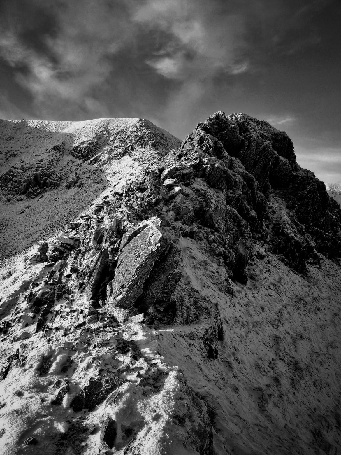
Striding Edge leading to the summit of Helvellyn above Red Tarn, Lake District
On Striding Edge, Helvellyn — a photo by The Lakes Planner
On Striding Edge
On Striding Edge, Helvellyn — a photo by The Lakes Planner
On the ridge

The routes competitors bury

The safe, non-scramble ways up

You can stand on Helvellyn's summit without ever setting foot on a knife-edge. These are the routes for beginners, families with older children, anyone without a head for heights, or simply anyone who fancies the top without the exposure.

Glenridding side

Keppel Cove / Whiteside Bank

From Glenridding you can reach the plateau via Keppel Cove and Whiteside Bank, avoiding both ridges. Longer and quieter than the tourist round, and a good way to keep the famous view without the exposure.

One edge only

Swirral Edge only

Prefer a taste of a ridge without Striding Edge? Going up via Red Tarn and Swirral Edge alone is shorter and less exposed than Striding — still a scramble, so not for the nervous, but a step down in commitment. Locating the correct line off the plateau is critical; take care.

A "pony path" style gentle gradient exists on the walkers' approaches — none of them involve hands-on scrambling. Whichever you choose, this is still a 950 m mountain: carry map, compass, food, water and layers, and turn back if the cloud drops or the wind gets up.

On Striding Edge, Helvellyn — a photo by The Lakes Planner
On Striding Edge
On Striding Edge, Helvellyn — a photo by The Lakes Planner
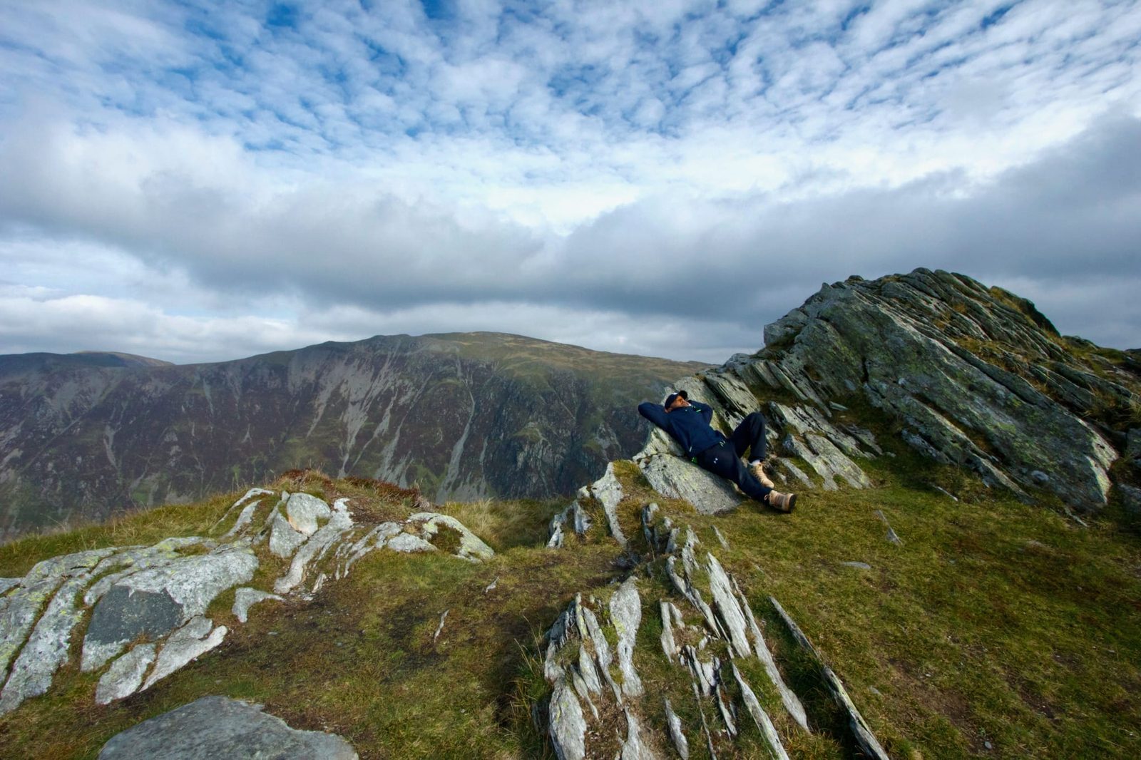
On the ridge, heading for the summit

Winter — a different mountain entirely

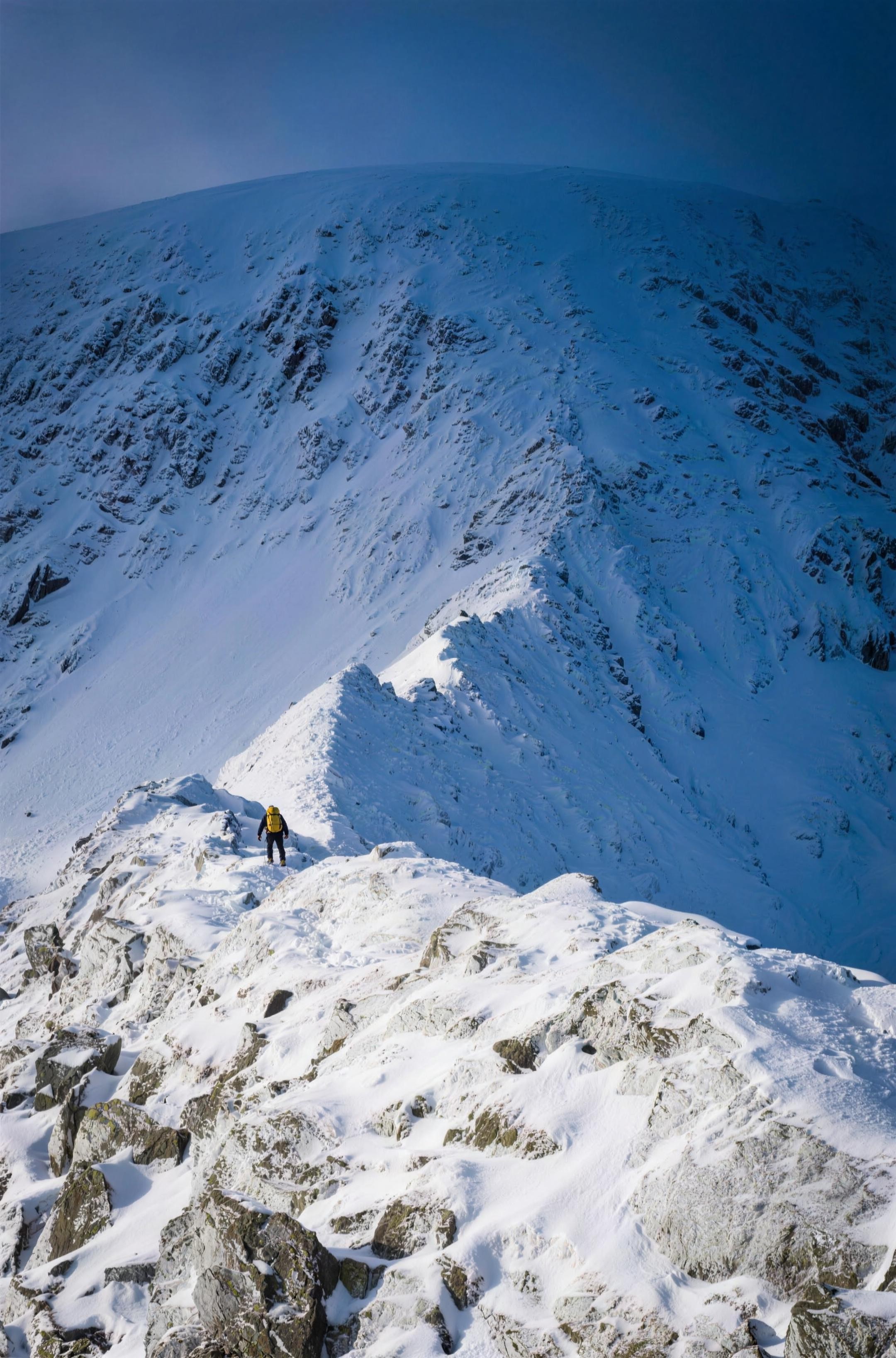
Under snow and ice Helvellyn becomes a serious mountaineering objective on every route, not just the ridges. Ice axe, crampons and the skills to use them are essential; there's real avalanche and cornice risk on the eastern face, and the conditions are frequently underestimated. If you're not an experienced winter walker, save Helvellyn for summer or go with a qualified guide. Always check the Lake District Weatherline — its daily fell-top report gives the actual summit conditions before you set off.

On Striding Edge, Helvellyn — a photo by The Lakes Planner
On Striding Edge

Getting there & parking

Starting from Glenridding

Glenridding car parks

The main start for the classic round and the Glenridding-side walkers' routes, at the SW end of Ullswater. The village pay-and-display car parks fill early on fine weekends; Patterdale is an alternative start just down the road.

Postcode
CA11 0PA
Grid ref
NY 387169
what3words
[W3W — Peter to capture]

For the Thirlmere / Browncove walkers' route, start from the Thirlmere-side car parks (Swirls / Wythburn) instead.

By bus — no car needed

The 508 bus (Penrith–Windermere via Ullswater) stops in Glenridding, so you can climb England's third-highest mountain entirely car-free. It also means you can finish at a different point from where you started.

Glenridding travel & parking The Ullswater valley
On Striding Edge, Helvellyn — a photo by The Lakes Planner
On Striding Edge

The summit & the view

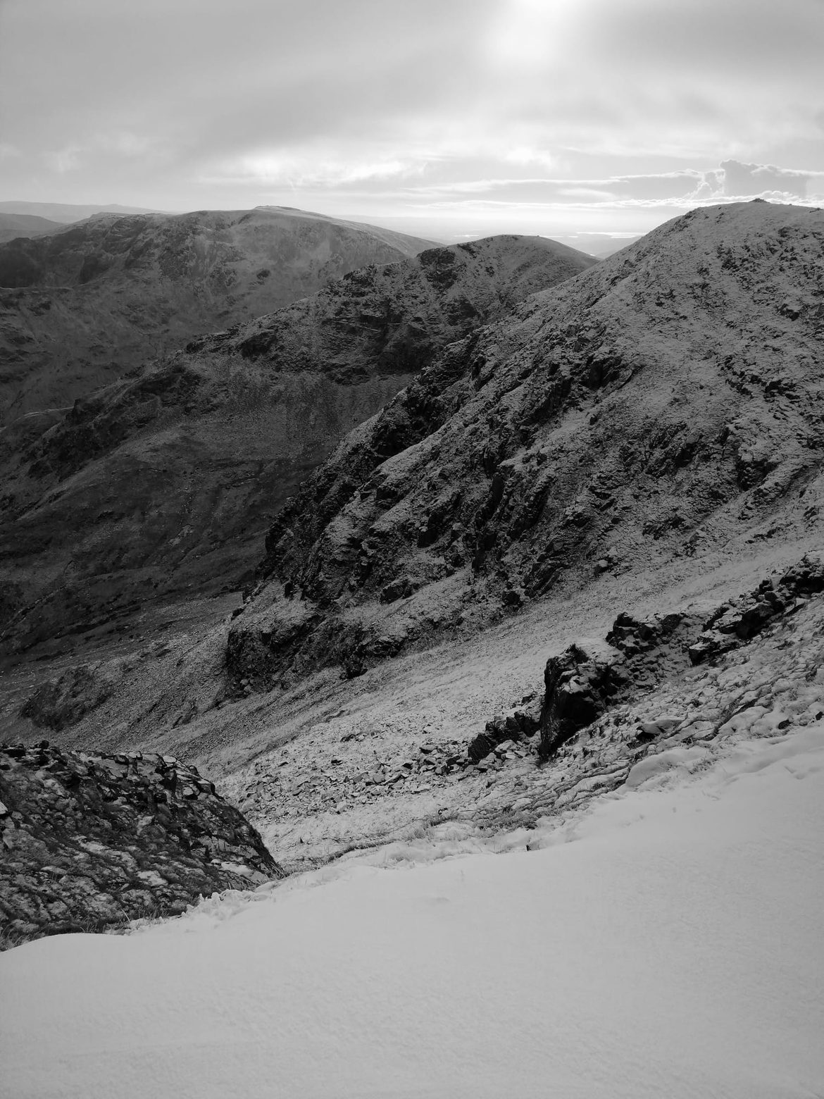
The top is a broad, grassy plateau with a trig point and a stone cross-shelter to hunker behind when the wind bites. The view is one of the finest in England: north to Skiddaw and Blencathra, west to the Scafells and the western fells, and east down the plunging face to Red Tarn and Ullswater far below. On the clearest days people claim the hills of Scotland, the Pennines and even Blackpool Tower — but the real drama is right at your feet, where the mountain falls away in crags to the corrie.

Voted Britain's favourite walk

— ITV national poll, 2018

Helvellyn tops the list for a reason: a genuine high mountain with a summit anyone reasonably fit can reach by the right route, and an edge that gives the confident a taste of real mountaineering. Just pick your way up to match the day and your experience — and it will repay you completely.

On Striding Edge, Helvellyn — a photo by The Lakes Planner
On Striding Edge, Helvellyn

Keep exploring

More walks & guides

Common questions

Helvellyn, answered

Which route should I take up Helvellyn?
There are two very different kinds of route. The famous one is the ridge round — up Striding Edge and down Swirral Edge — which is a Grade 1 scramble with serious exposure and is for experienced, confident walkers only. But you can also reach the summit with no scrambling at all, on the walkers' routes from Thirlmere via Browncove Crags, or from Glenridding avoiding the edges. Choose honestly based on your experience and the conditions.
How long is the Helvellyn walk?
The classic Striding Edge and Swirral Edge round from Glenridding is about 7.5 miles (12.4 km) with roughly 820–915 m of ascent, taking most people 5 to 7 hours. The non-scramble walkers' routes take broadly similar times depending on the start point.
How high is Helvellyn?
Helvellyn is 950 m (3,117 ft) — England's third highest mountain, after Scafell Pike (978 m) and Sca Fell (964 m). It was voted Britain's favourite walk in an ITV poll in 2018.
Can beginners climb Helvellyn?
Yes — but only by the right route. Beginners and those without a head for heights should use the non-scramble walkers' routes (Thirlmere / Browncove Crags, or the Glenridding approaches that avoid the ridges), in good conditions, well-equipped and with a weather check. Beginners should not attempt Striding Edge or Swirral Edge, which are exposed scrambles where a fall can be fatal.
What is the easiest and safest way up Helvellyn?
The gentlest walkers' route climbs from the Thirlmere side over Browncove Crags to the summit plateau — a steady, non-scramble path with no knife-edge ridges. From the Glenridding side you can also reach the top while avoiding Striding Edge. None of these remove the need for good boots, navigation and a forecast check, and in winter Helvellyn becomes a serious mountaineering objective whatever the route.