Kendal · Limestone scar · Circular
Scout Scar walk from Kendal
Two viewpoints over the bay, the Mushroom and its toposcope, and a limestone edge above Kendal. Where we parked, what3words for every turn, and the cows and the dogs.
Two viewpoints over the bay, the Mushroom and its toposcope, and a limestone edge above Kendal. Where we parked, what3words for every turn, and the cows and the dogs.
Just west of Kendal
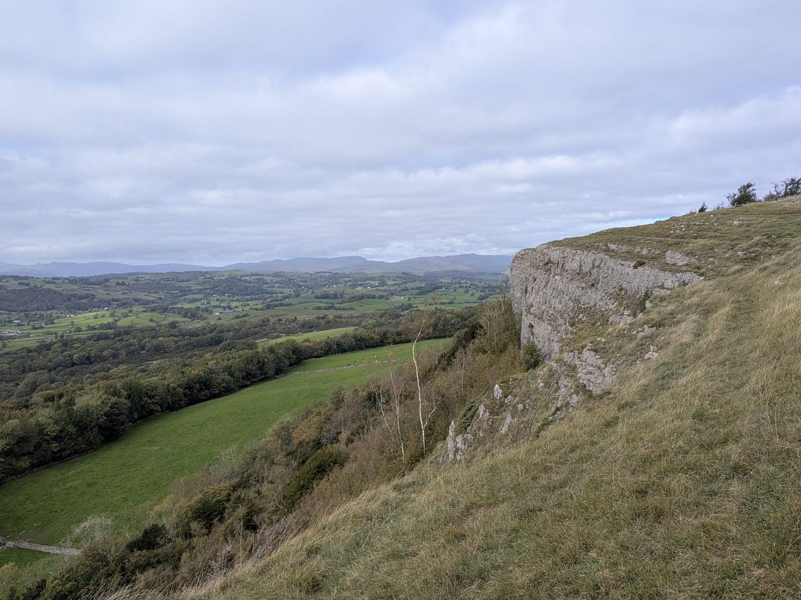
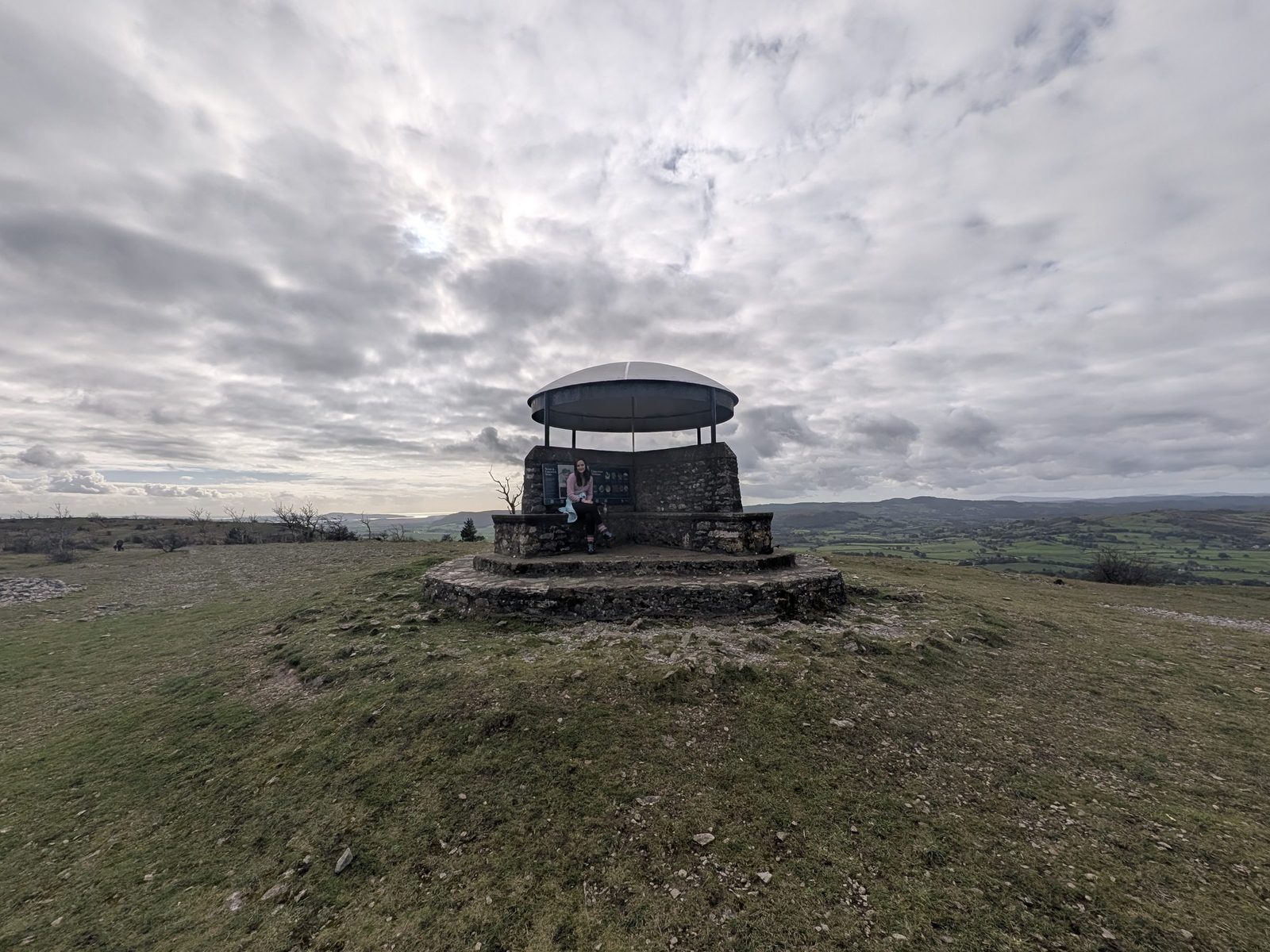
Scout Scar is the limestone edge on the west side of Kendal. The Lake District National Park board at the top says the scars form a 5 km limestone ridge. On top sits the Mushroom, a shelter with a toposcope inside its roof that names the fells and views around you.
Ellie, Cass and I walked it on a Sunday in October. We started from Brigsteer Road, not the usual car park on Underbarrow Road: over a stile, up onto the scar, out to two viewpoints over the bay, then back along the scar to the Mushroom and down to the road. About 4.5 to 5 miles, and about 2½ hours with stops.
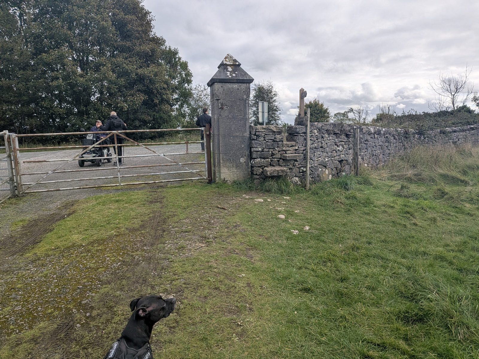
Dogs: Cass, our Staffordshire Bull Terrier, was on the lead the whole way. There were cows in the fields between the gates. More in dogs and cows.
Where to start
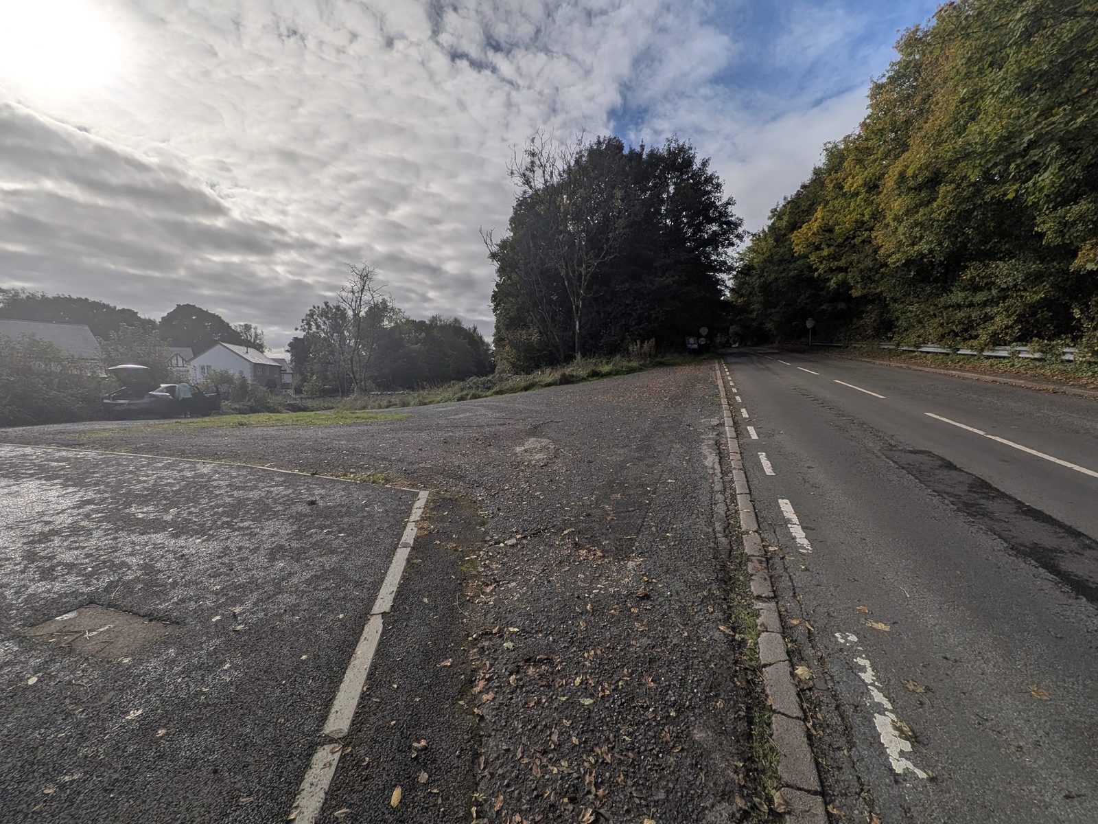
Where we parked. At the side of Brigsteer Road there is an opening with a very small triangle of grass, at ///fever.piano.bring. It leads into a housing estate. There are no signs, no yellow lines and nothing saying no parking, and at midday on a Sunday nobody was around, with plenty of room for traffic to get past. It is where we parked, not an official car park.
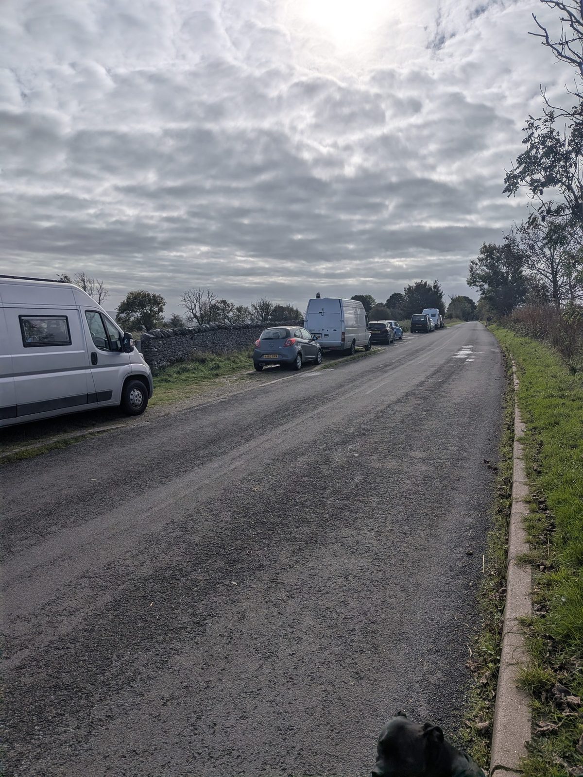
The better spot, just after the A591 bridge. Carry on up Brigsteer Road, away from the town and uphill, over the bridge across the A591. Just after it there is roadside parking at ///raves.firms.beats. If you just want Scout Scar, this is the main area to park we found, and the stile where the walk starts is over the road from it.
The official car park. The free Scout Scar car park is on Underbarrow Road: donation box, around 35 spaces, grid SD 488924, ///meant.healthier.flash, postcode LA8 8HB. The postcode covers a wide area, so satnav can overshoot: it is the second car park on the right after the A591 crossing from Kendal. It is a different start from ours, and the Miles Without Stiles path is on that side.
Step by step
From Brigsteer Road, as we walked it. Every turn has its what3words. It took us about 2½ hours with stops.
On Brigsteer Road, at the opening with the small triangle of grass, ///fever.piano.bring. See parking for the better spot further up.
Walk up Brigsteer Road, away from the town centre and uphill, to the bridge over the A591. It is about 150 metres.
Just after the bridge is the roadside parking at ///raves.firms.beats, the main area to park we found. Over the road from it is the stile where the walk starts.
Go over the stile and follow the path.
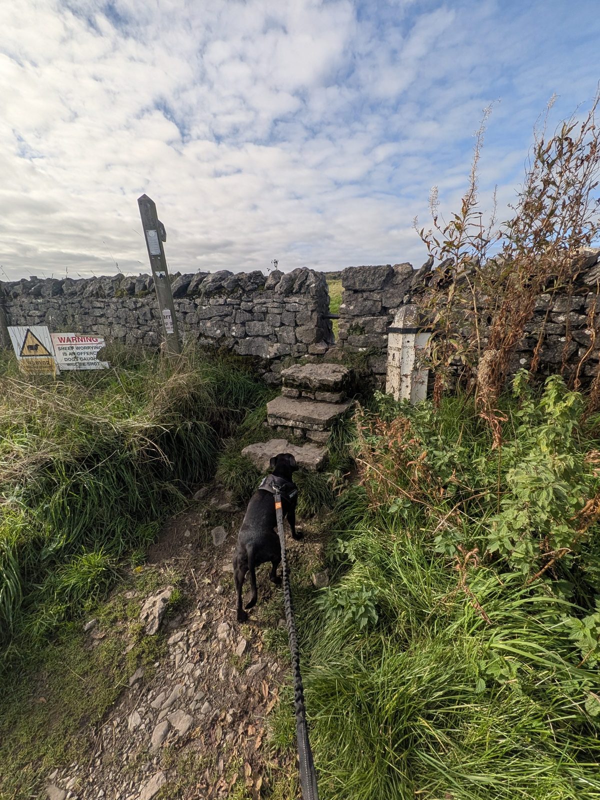
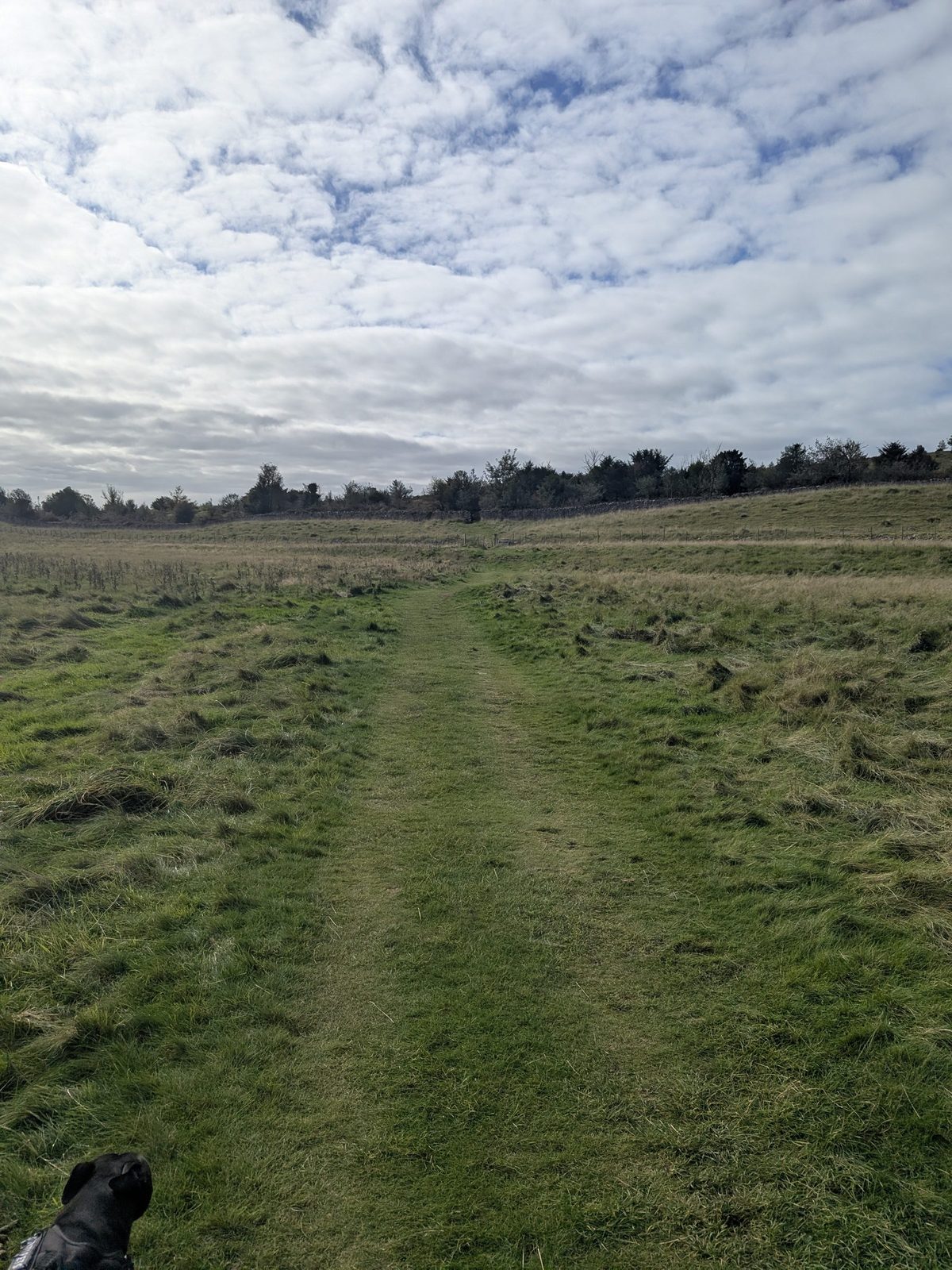
At the first gate, turn left. There is a track running off to the right; ignore it.
Between the two gates there are no "dogs on leads" signs, but there are cows. On our visit they seemed to be after the second gate. That can change on another day.
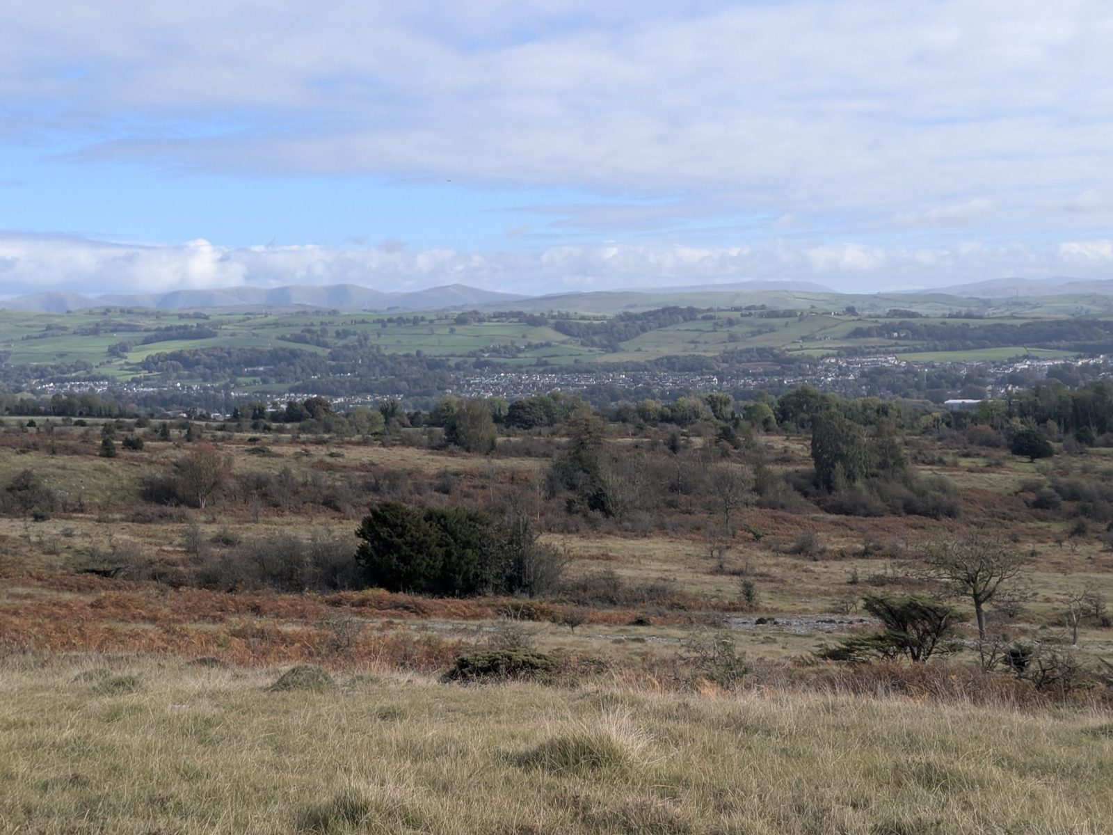
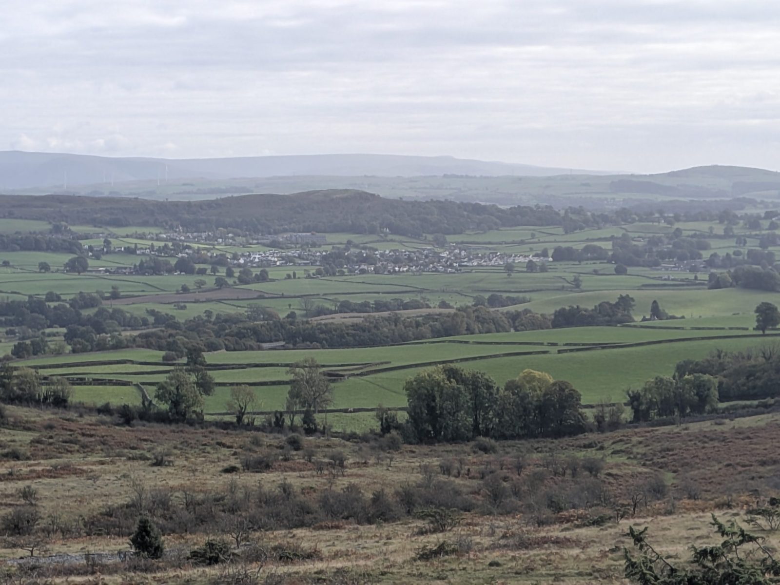
At ///target.yappy.stores you can go right, straight on or left. Take the left for more of the views. Go right if you are not bothered.
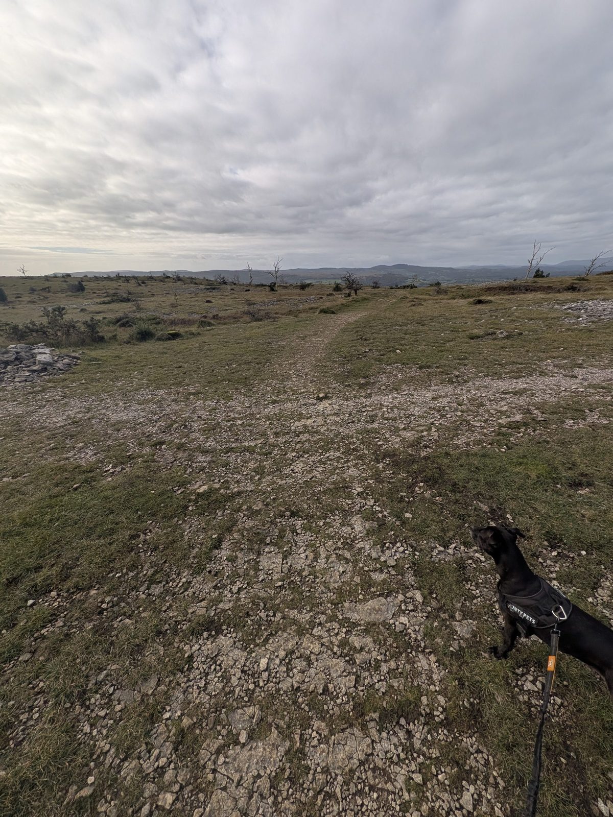
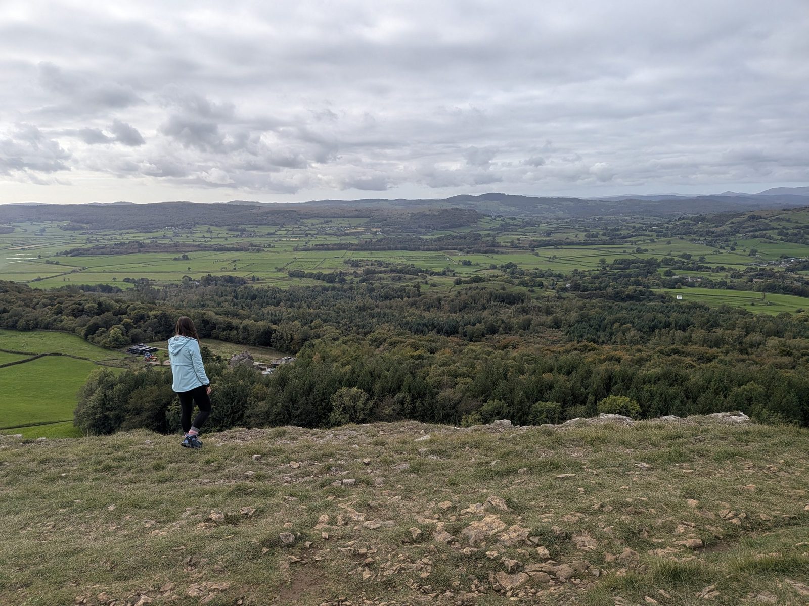
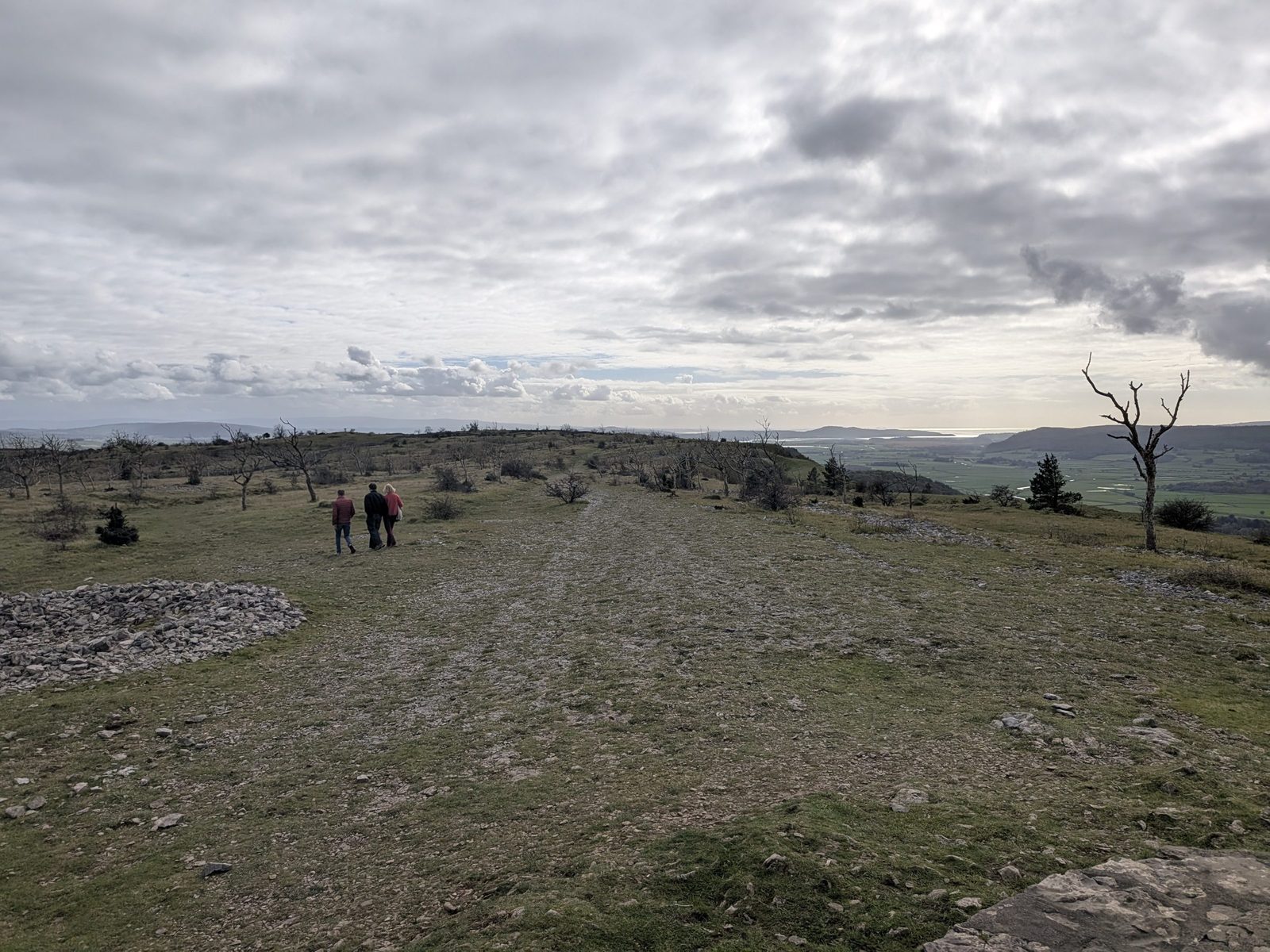
The first viewpoint is at ///soda.tummy.loser. You look out to Arnside and Silverdale, with the bay in the distance.
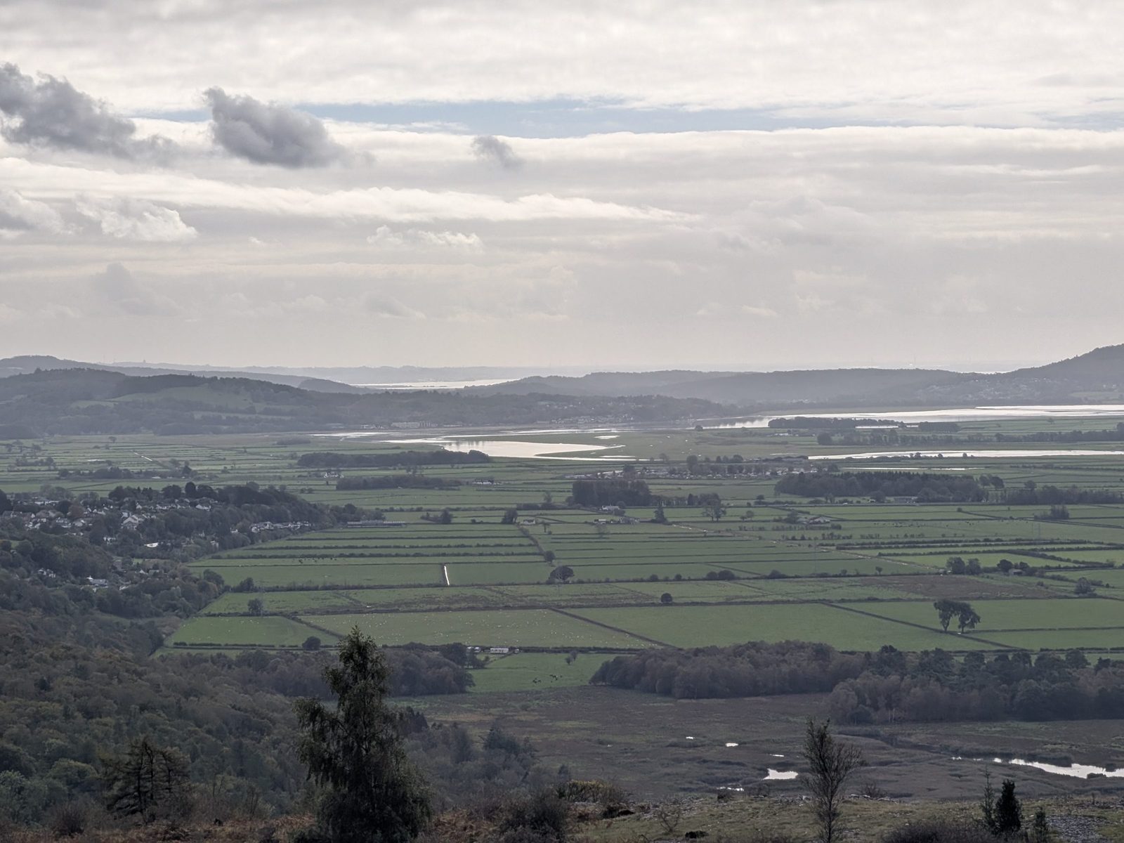
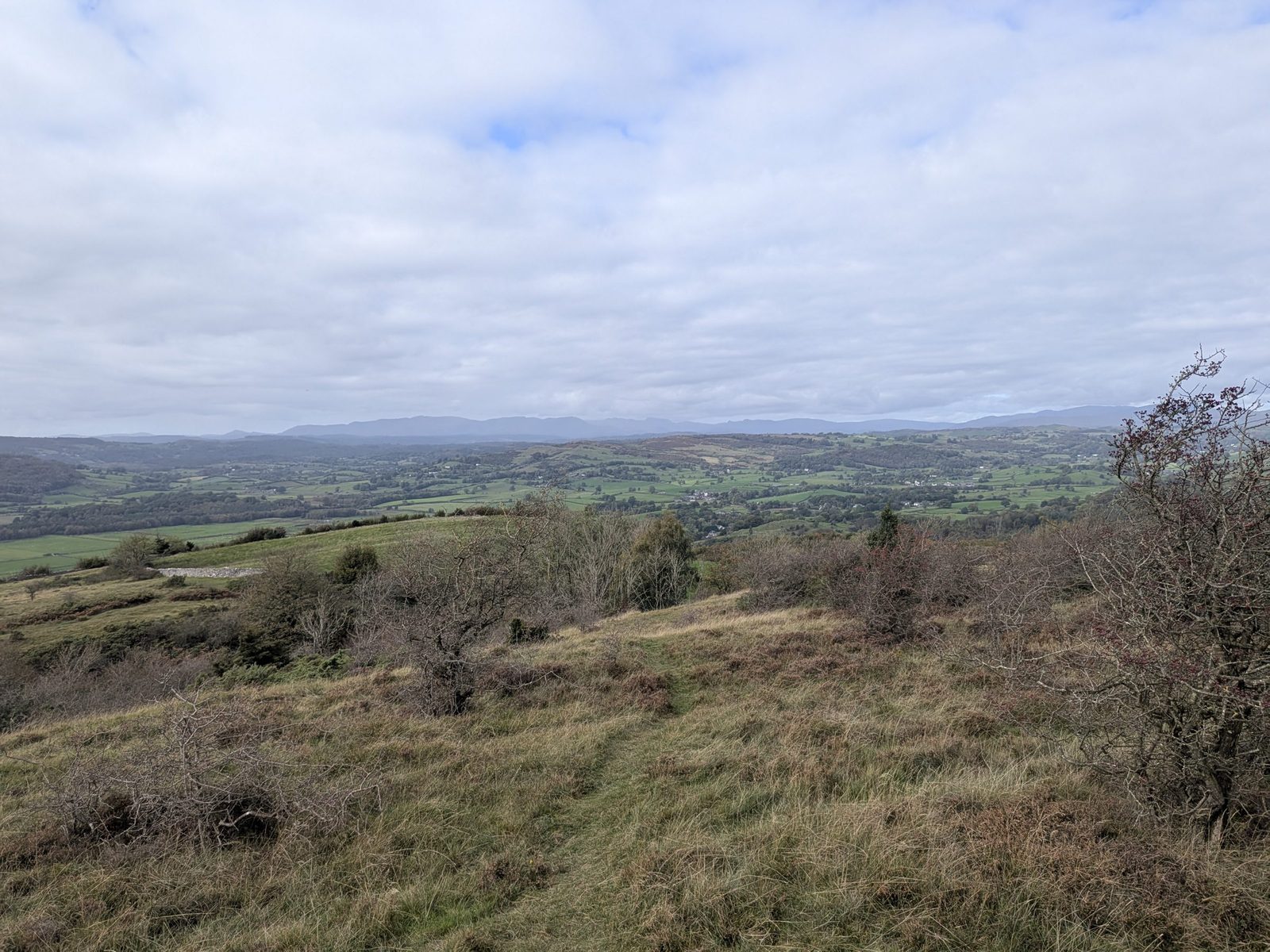
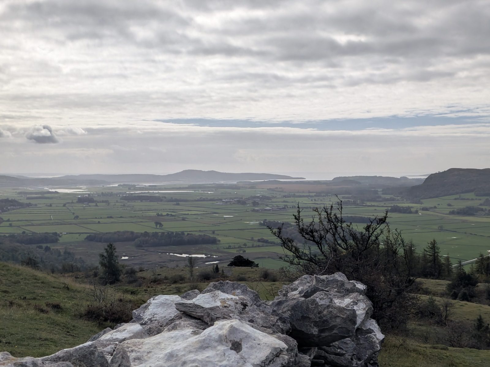
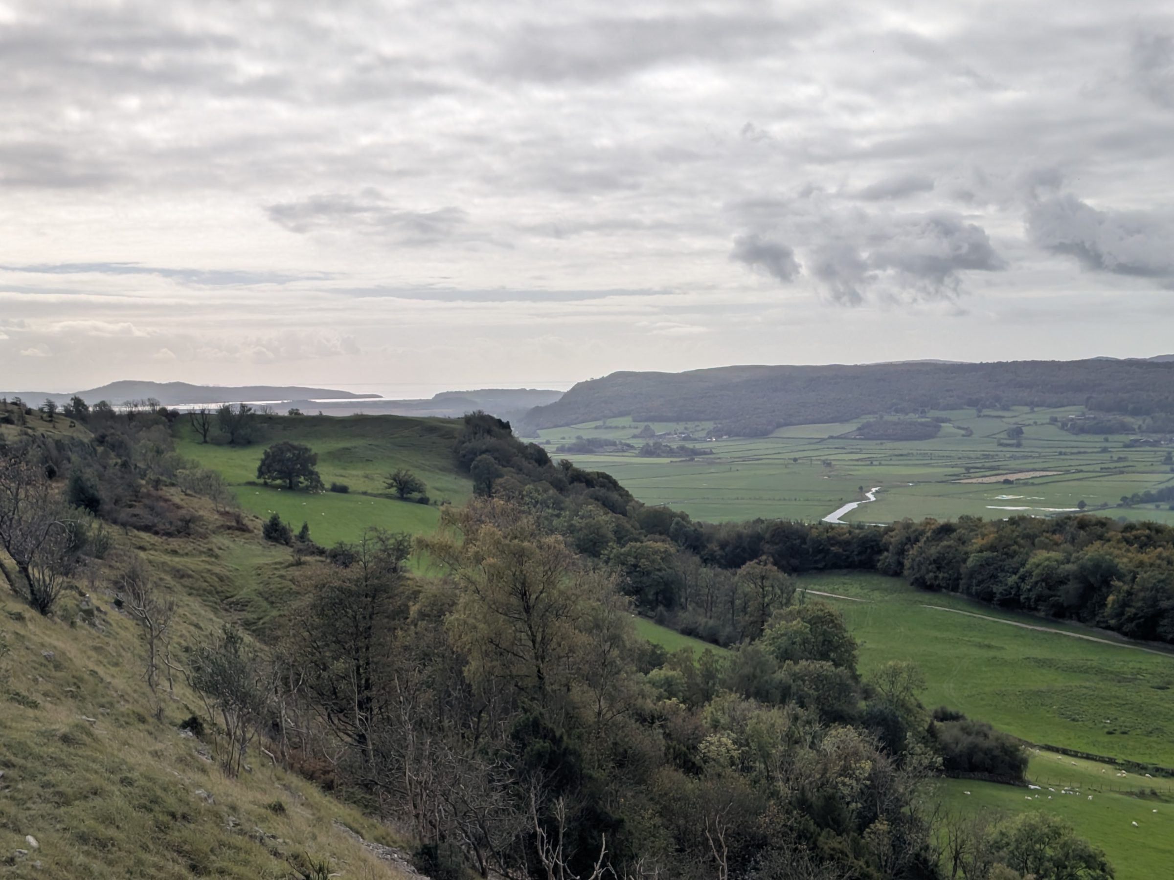
Carry on past it, down the hill slightly, turn right and head on to the second viewpoint at ///bells.protrude.inhaled. I found it better than the first: it is the photograph at the top of this page.
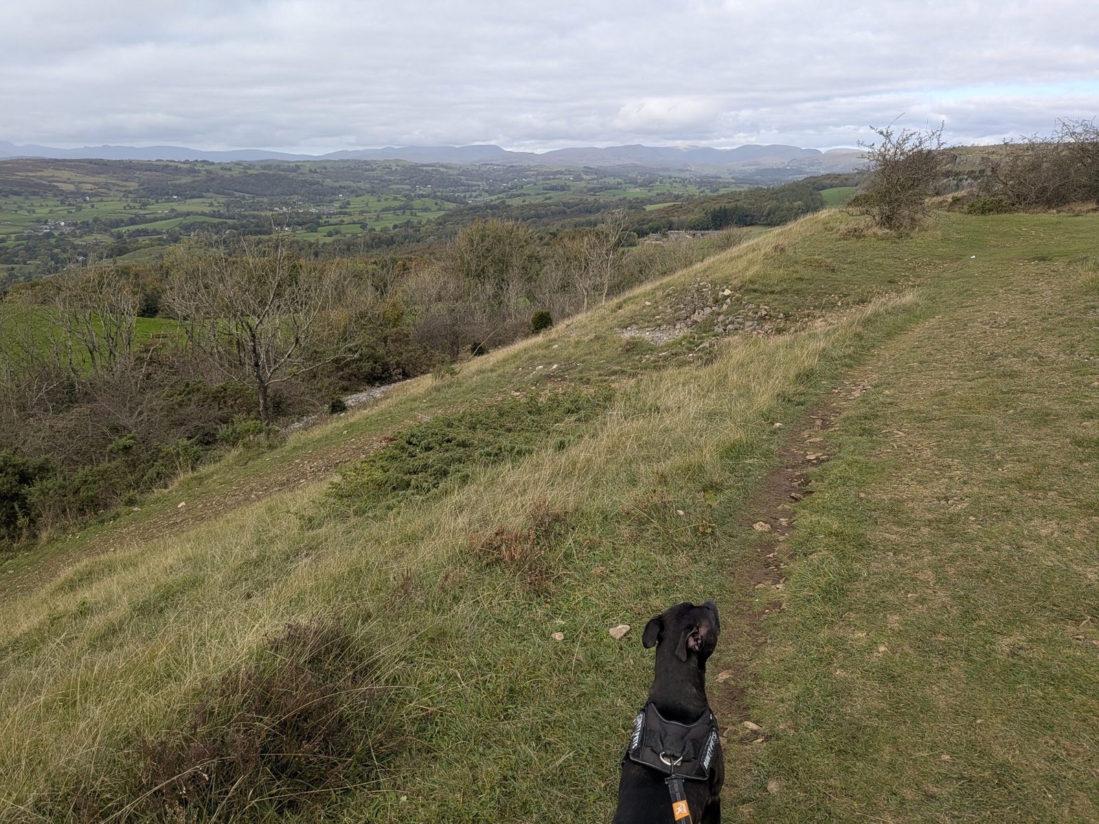
At the bottom of the hill, take an immediate right back along a track, and follow it.
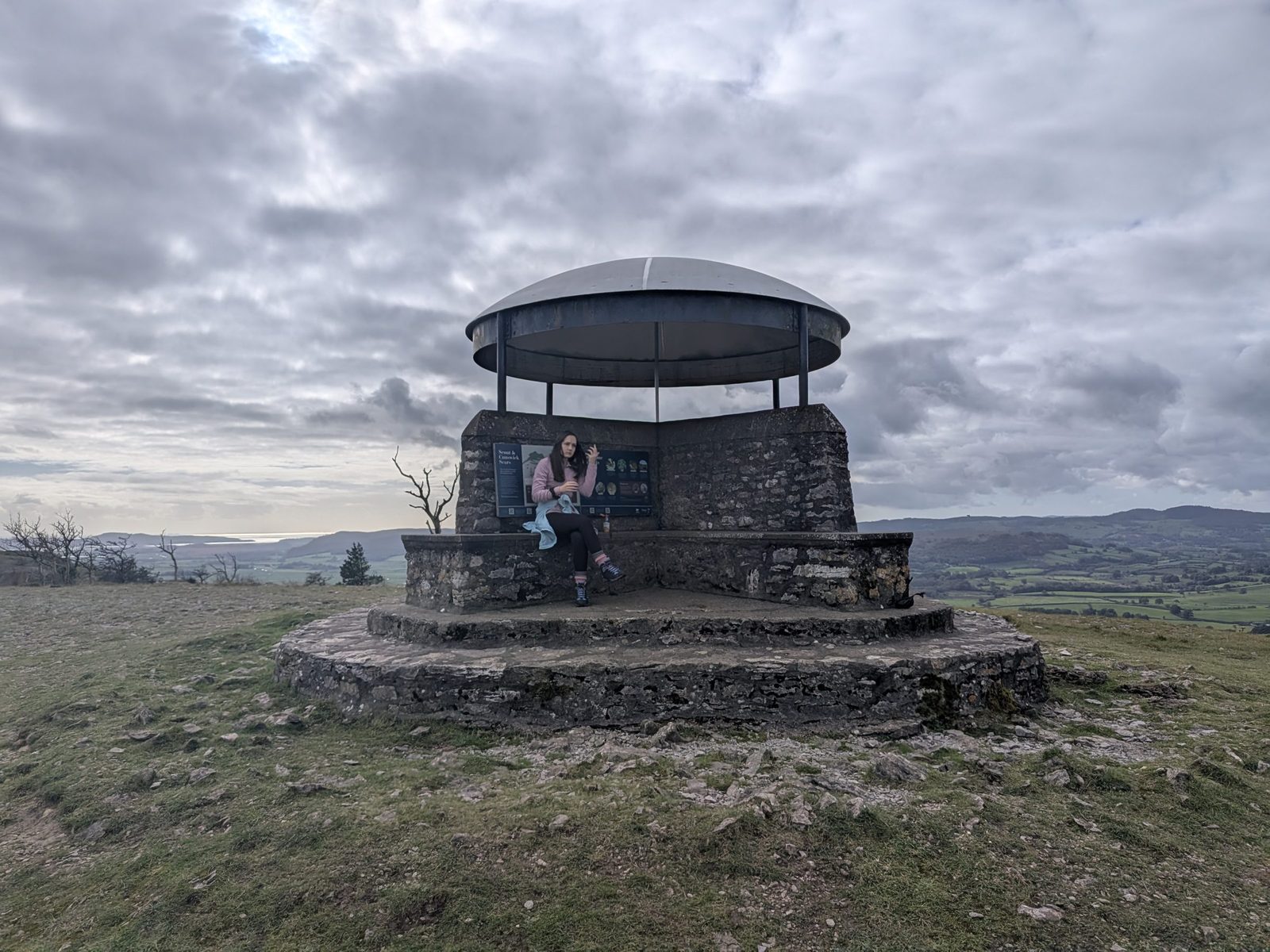
Follow it to the Mushroom, at the top, ///mice.final.chart. Inside the roof, the toposcope names the fells and views around you.
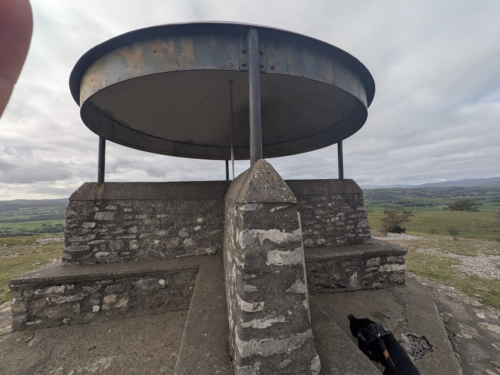
The toposcope names, around the dial:
The Borrowdale on this dial sits with Bannisdale and Lunesdale. It is the Westmorland Borrowdale near Tebay, not the valley by Keswick.
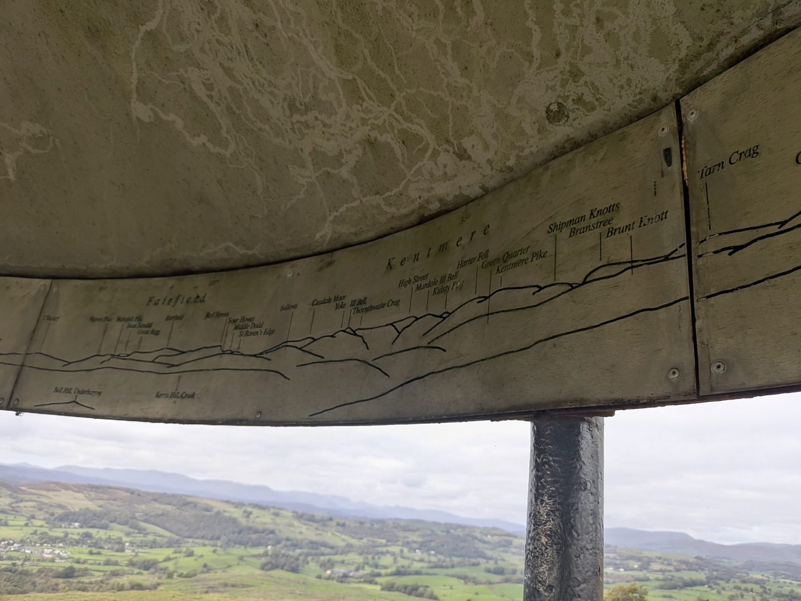
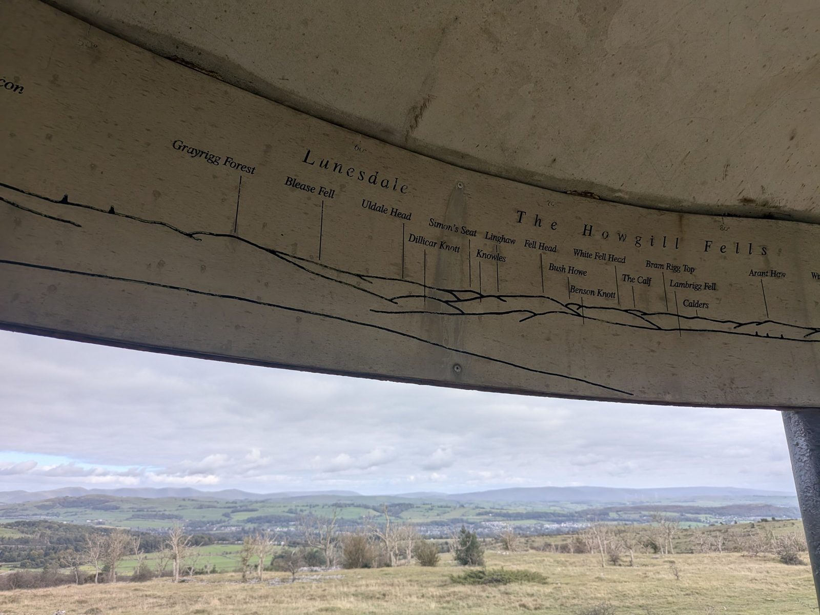
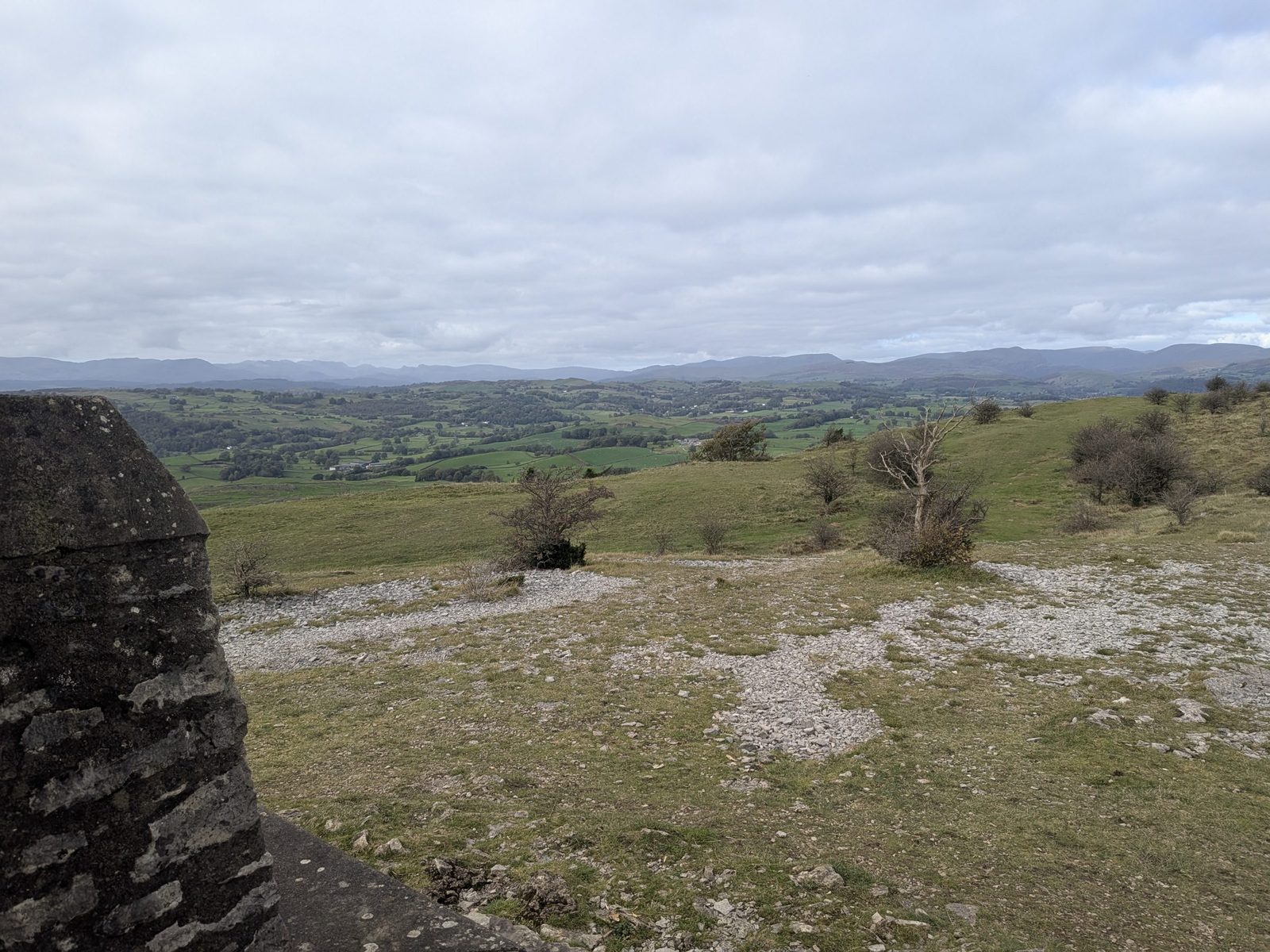
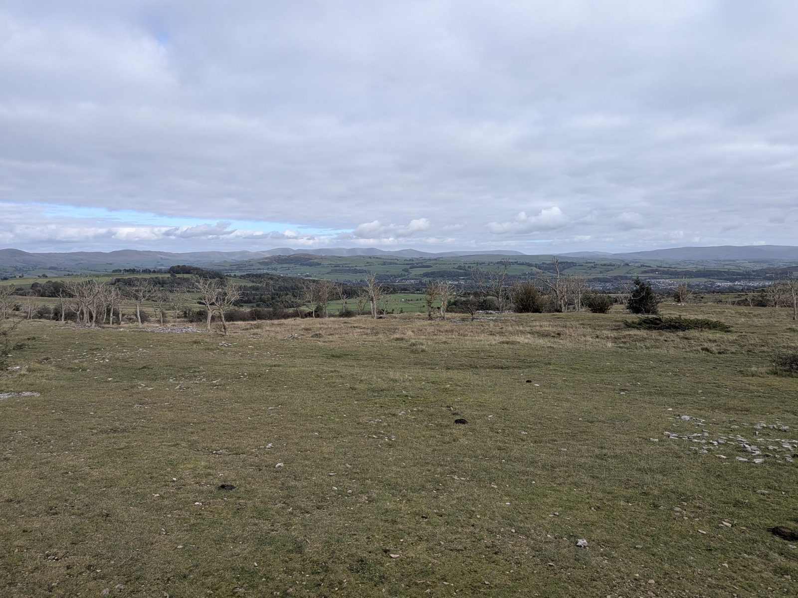
The Lake District National Park board says the Mushroom was built to commemorate the coronation of King George V, and contains a toposcope. The scars form a 5 km limestone ridge. The area is a Site of Special Scientific Interest, with evidence of prehistoric barrows, Roman settlement, medieval longhouses, lime kilns and charcoal burning.
At ///tribal.frogs.broom you go back on yourself, but don't take the main track. Take the left-hand turn just off it, which is a bit less of a track.
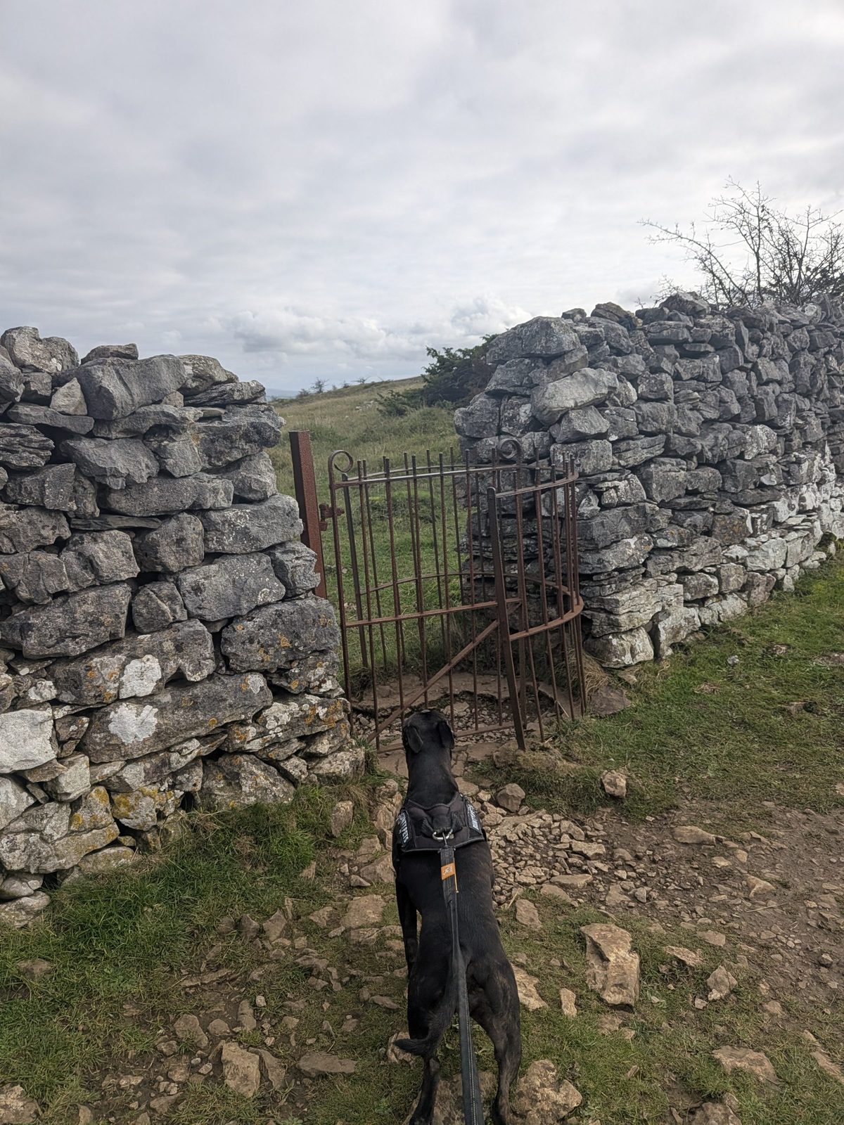
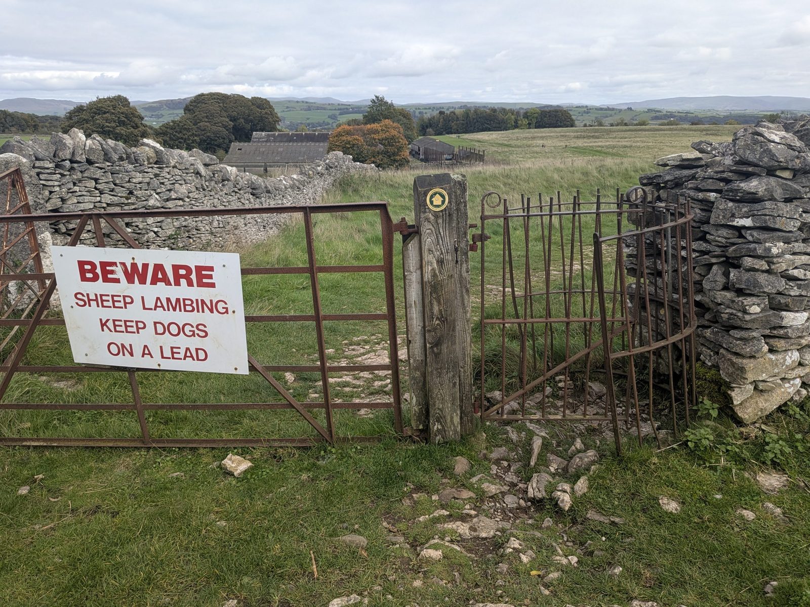
The last gate is the one with the "keep dogs on a lead" sign. You will see a farm right in front of you. Then it is back to the road.
Livestock and nesting birds
Cass was on the lead the whole way. Between the first two gates there are no "dogs on leads" signs, but there are cows: on our visit they seemed to be after the second gate, and that can change on another day. The last gate carries a sign: beware, sheep lambing, keep dogs on a lead.
The Lake District National Park board at the Mushroom asks for dogs on a short lead from 1 March to 31 July, for the ground-nesting birds.
The honest verdict
Yes. It is a really enjoyable walk. The views are very good on a clear day: the bay from the two viewpoints, Kendal below the scar, and everything the Mushroom's toposcope names around you.
If you only want the scar and the Mushroom, park just after the A591 bridge on Brigsteer Road. If you need a stile-free path, start from the car park on Underbarrow Road instead.
Good to know
Keep exploring
Scout Scar and Cunswick Scar from Underbarrow Road, the castle and river loop, and more from town.
The market town below the scar: the castle, the museum and where to eat.
The National Trust castle south of Kendal. We went the same day.
The coast you see from the first viewpoint, across the bay.