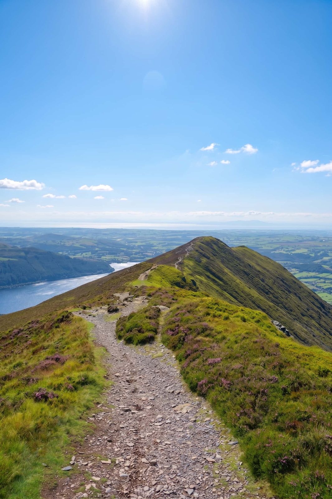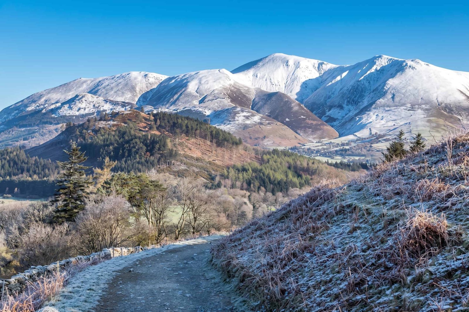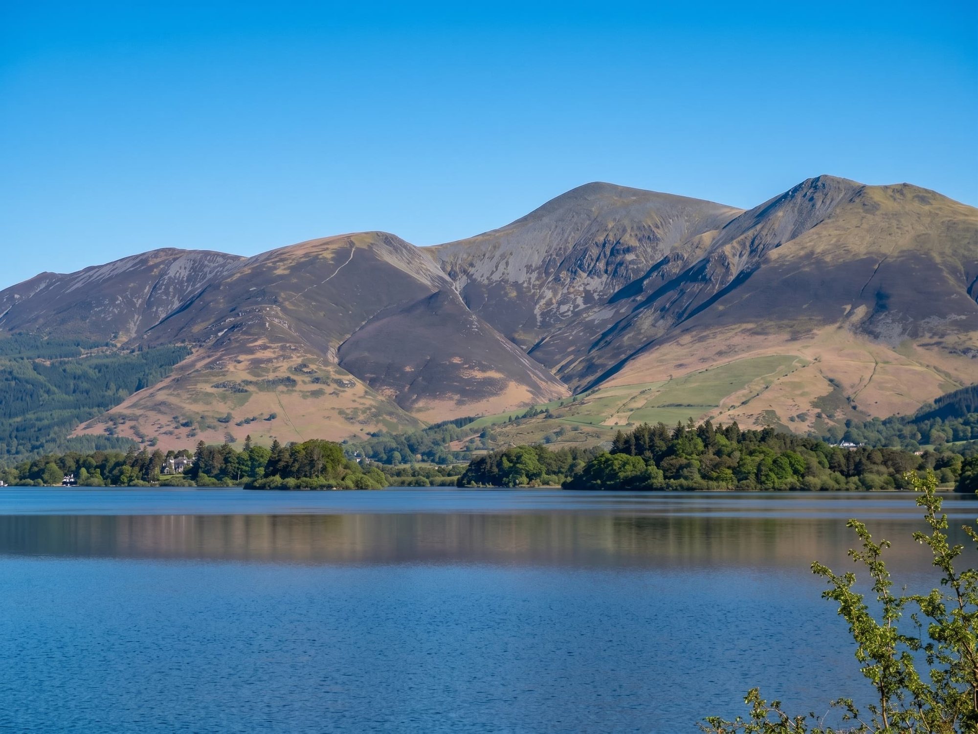
The huge, smooth-shouldered mountain that stands behind Keswick — 931 m, and the most achievable of England's really big summits, provided you treat it with the respect a mountain deserves.
Height · 3,054 ft
Round trip from Gale Road
Ascent from the car park
Typical time
Keswick's giant
Skiddaw stands at 931 m directly behind Keswick — a vast, smooth-shouldered whaleback that dominates the town and the northern end of Derwentwater. It is one of England's highest mountains, and by some distance the most achievable of them for a walker who is fit but not a scrambler.
That is the genuine appeal. There is no exposure on the standard route, no hands-on ground, and no route-finding puzzle in clear weather — just a broad, well-trodden path climbing steadily for a very long way. If you have wondered whether you could get up a proper mountain, Skiddaw is the honest place to find out.
The caveat is equally genuine, and it is about weather rather than terrain. Skiddaw is big, bare and fully exposed, the summit is a broad stony ridge with little shelter, and conditions up there bear no relation to what you left in Keswick.
The honest answer
It is long and steep, not technical. That distinction matters, because it is the reason Skiddaw suits beginners in a way that Sharp Edge or Striding Edge never will. Nothing on the tourist route requires you to use your hands, and at no point are you walking along anything narrow with a drop beside it.
What it asks for is stamina. From the Gale Road car park you climb roughly 900 m — about 3,000 feet — with very few flat sections to recover on. The pull up Jenkin Hill in particular is a long, honest grind, and it is where most people discover how fit they actually are.
So: yes for a reasonably fit beginner who has picked a good day, taken proper kit and is willing to turn round. No, if you are hoping for a casual stroll, or if the forecast is poor and you would rather push on than retreat.
The classic
The standard ascent starts from the Gale Road car park (also called Latrigg, Underscar or Under Skiddaw), which sits at about 280 m — a considerable head start, and the reason this is the route almost everyone takes. It is roughly 7 miles round trip with about 3,000 ft of ascent, taking 4–5 hours.
From the car park the path heads out past the memorial and begins the long climb around the flank of Jenkin Hill. This is the hard part of the day, and it goes on: a steady, relentless pull on a broad, unmistakable path. Higher up the gradient relents and the route passes below Skiddaw Little Man — a worthwhile short detour to a fine viewpoint if you have the legs, or a straightforward bypass if you have not.
The final section runs along the broad summit ridge to the trig point. On a clear day the view runs north across the Solway Firth to Scotland, and south over Derwentwater to the whole central massif. In cloud it is a wide, stony, disorientating place with few landmarks — which is exactly when a map and compass stop being optional.
The car-free option
If the Gale Road car park is full — and on a fine day it will be — the honest alternative is to start from Keswick itself and walk up. It adds a few miles and a couple of hundred metres of climbing, and turns Skiddaw into a 6–7 hour day rather than 4–5.
It is a better walk than it sounds. The route climbs past Latrigg, the little green fell above the town, and joins the tourist route at the top of Gale Road — so you get Latrigg's superb Derwentwater view on the way up as a bonus, and you need not think about parking at all.
Logistics
The Gale Road (Latrigg) car park is free, which is increasingly rare, but it is small and it is at the end of a narrow lane past The Spa at Underscar. On any fine day it is full early, verges included, and cars parked badly on that lane cause real problems for residents and farm traffic.
The practical advice is simple: get there early, or do not plan on it at all. If you arrive to find it full, do not improvise a space — drop back into Keswick, park properly, and walk up via Latrigg. It is a good day either way.
Take this seriously
Skiddaw's summit is a different world from Keswick. It is 931 m of open, unsheltered mountain, and the temperature drop plus wind chill means it can be bitterly cold up there on a day that felt pleasant in the town. Cloud settles on it regularly, and when it does the broad stony ridge offers almost nothing to navigate by.
Check a mountain forecast rather than a town one before you set off — the Lake District Weatherline fell-top assessment is the right tool for the northern fells.
Take proper boots, warm layers and full waterproofs even in summer, more food and water than you think you need, a map and compass you can actually use, and a head torch if you are starting late. And set yourself a turnaround time before you leave the car park; the mountain will still be there next week.
Also on the mountain
Behind the mountain, at the junction of paths in the empty country beyond the summit, stands Skiddaw House — a remote former shooting lodge, now a hostel, and one of the most isolated buildings in England. It sits on the routes that cross the back of Skiddaw rather than the tourist path, and it is a memorable place to pass.
For a better day than the tourist route, walkers in the know take the Ullock Pike and Longside Edge ridge from the Bassenthwaite side — a long, elegant, gradually narrowing ridge line onto the summit plateau. It is the connoisseur's way up Skiddaw, and a considerably bigger undertaking than the Gale Road path.
Answered
Skiddaw is 931 m (3,054 ft), which makes it one of England's highest mountains and the great whaleback presence behind Keswick. Exactly where it sits in a national ranking depends on how subsidiary tops are counted, so you will see slightly different positions quoted in different lists.
It is long and steep rather than technical. The tourist route from Gale Road is a broad, well-trodden path that is easy to follow in clear weather, with no scrambling and no exposure. What makes it hard is the relentlessness — a steady 900 m of climbing with few flat sections — and the summit weather, which is a different proposition from the valley.
Allow 4–5 hours for the round trip from the Gale Road (Latrigg) car park, roughly 7 miles with about 3,000 ft of ascent. Starting from Keswick instead adds distance and time, so budget closer to 6–7 hours for that version.
It is the most achievable of England's really big mountains for a fit beginner, because the path is clear and there is nothing technical. But treat it as a mountain, not a hill walk: take proper boots, warm and waterproof layers even in summer, food, water, and a map and compass. The summit ridge is broad and featureless, and in cloud it is genuinely easy to lose your bearings.
The usual start is the Gale Road car park (also called Latrigg, Underscar or Under Skiddaw), which is free but small and sits at around 280 m, saving you a lot of climbing. It fills very early on fine days, verges included. If it is full, start from Keswick and walk up via Latrigg — a longer day, but an honest and rather good alternative.
Keep exploring
The town at Skiddaw's foot — parking, food, the lake and everything else in the northern Lakes.
Read more
Skiddaw's little outlier and the easiest Wainwright of all — the same view for a fraction of the effort.
Read more
Skiddaw's neighbour across the A66 — and a far more serious mountain if you want a step up.
Read more
Every fell guide we've written, with heights, difficulty and the best route for each.
Read more