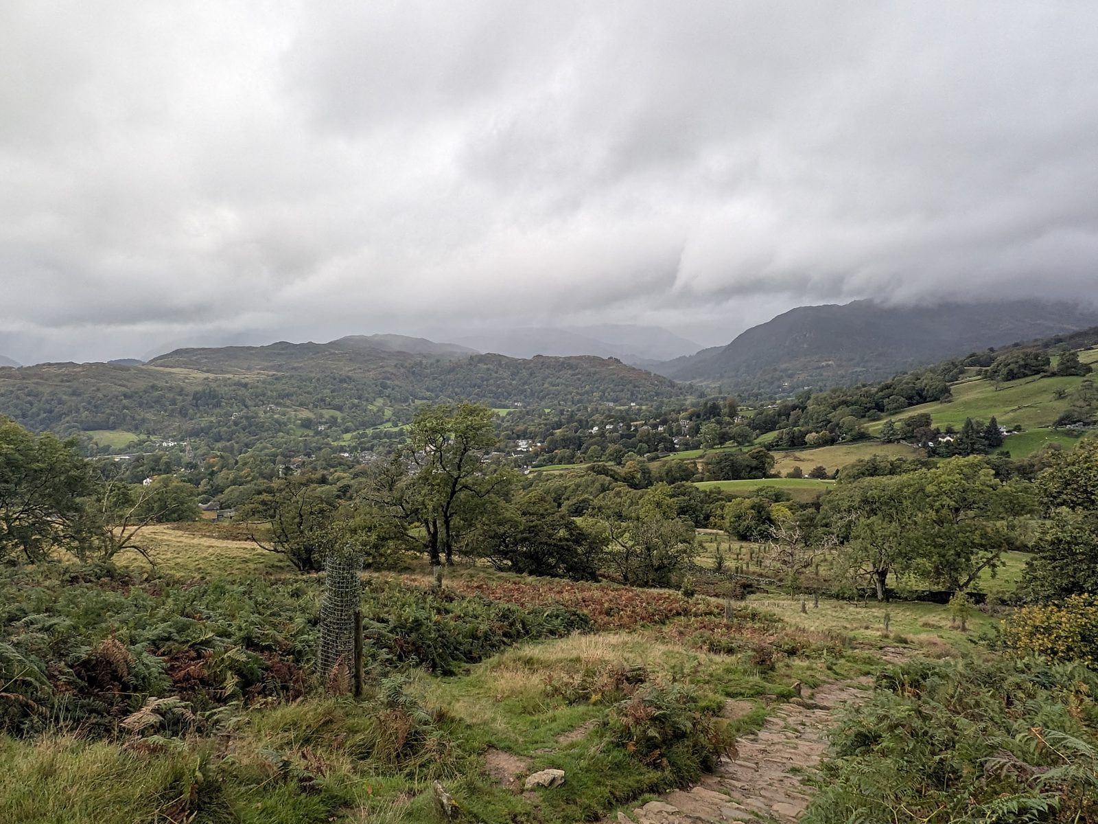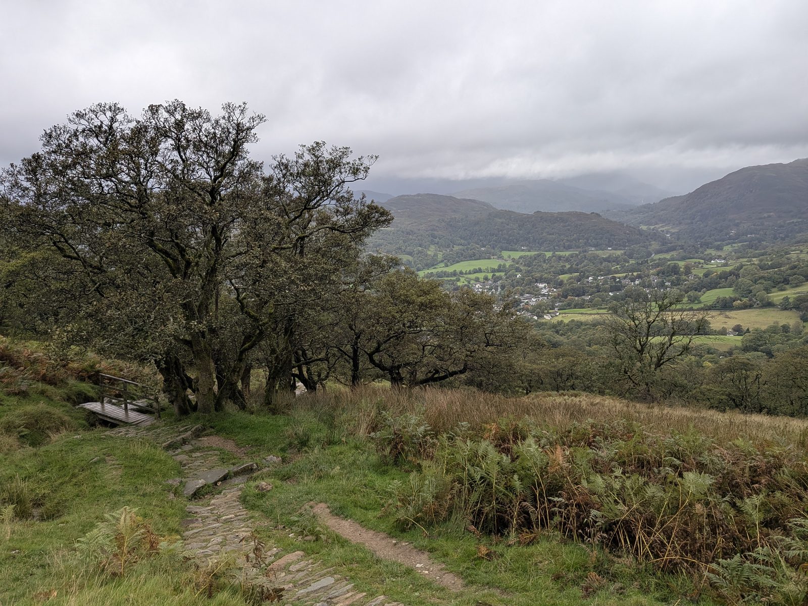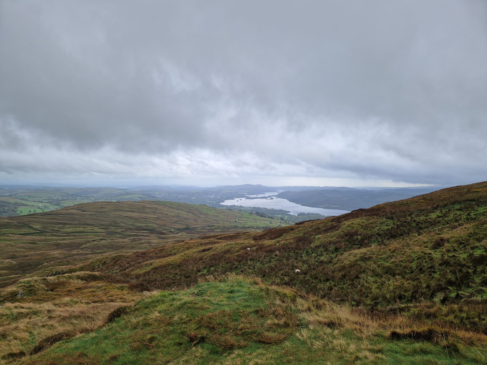
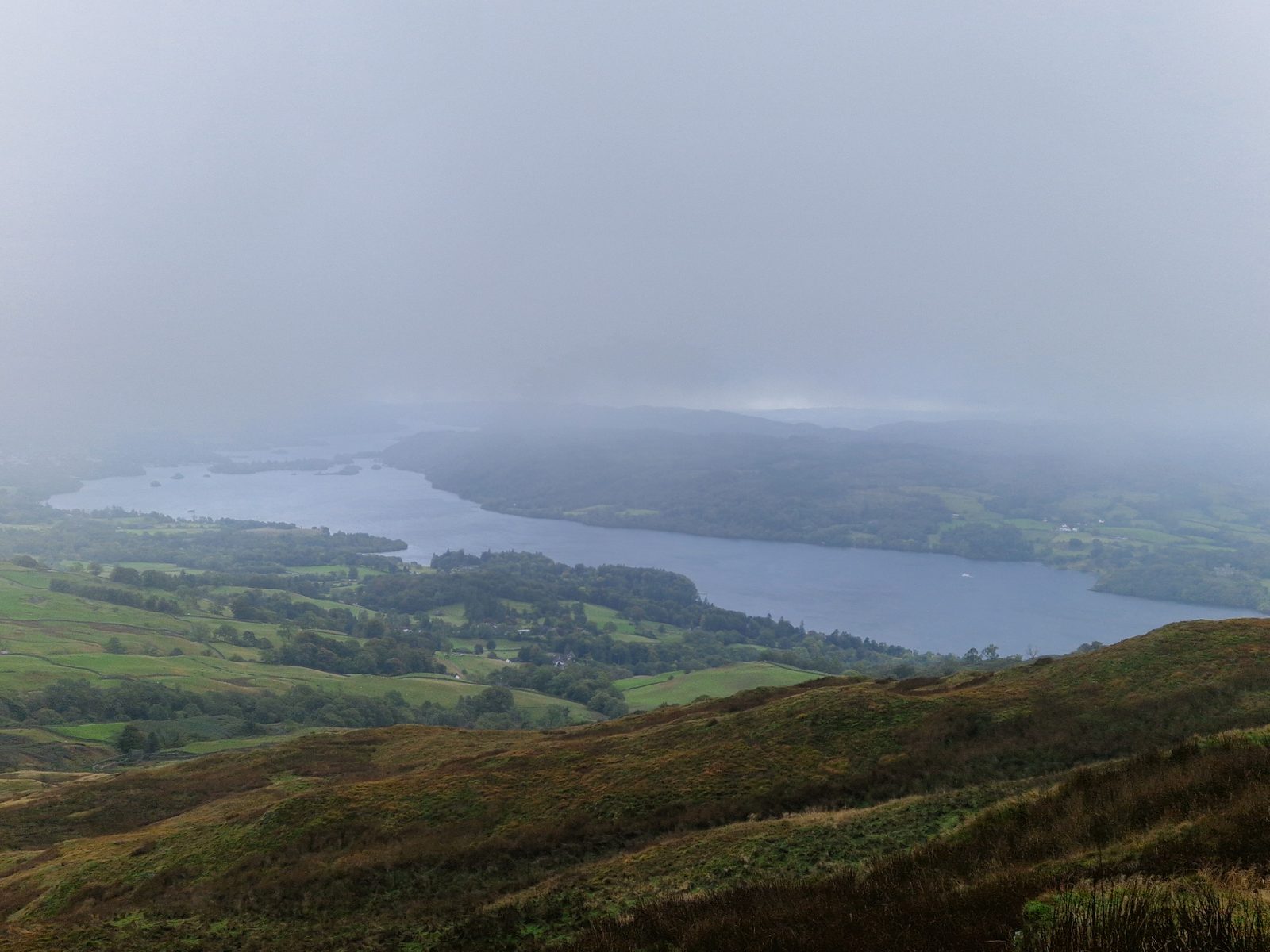
Windermere under heavy cloud, seen from the slopes of Wansfell with brown hillside in the foreground
Ambleside · 482 m

Wansfell Pike from Ambleside

The steep fell above the town. Which way round to walk it, every awkward turn pinned, and an honest account of a day with no view at the top.

Written and walked by Peter Visited Friday 2 October 2026
5.4 mi
8.7 km, linear: Ambleside to Waterhead
~430 m
Of climbing (about 1,410 ft)
3h 15m
Including the Stock Ghyll loop and photo stops
482 m
Wansfell Pike (1,581 ft)
The walk Which way round The summit From Ambleside From Waterhead Finishing Tea & pubs Parking Weather FAQ

The honest version

A steep fell above the town, and a view we didn't get

Wansfell Pike is the steep fell that stands directly over Ambleside. We walked it on Friday 2 October 2026, Ellie, Cass and me, from the Square in Ambleside to Waterhead on Windermere: 5.4 miles, about 430 m of climbing, and 3 hours 15 minutes including the Stock Ghyll Force loop and the photo stops.

It did not go to plan for the view. The top was in cloud, with a very harsh wind and rain, and we saw Windermere only below the cloud. One thing went right: we had phone signal all the way round, including on top of Wansfell Pike, which is handy for walkers and good for safety. That was one day on our phones, so treat it as encouraging, not as a promise. I have written the walk as it was, because the awkward turns are pinned and the weather is part of the advice.

If you only do one thing: choose your direction before you set off. From Ambleside the climb is very steep and you finish at Waterhead. From Waterhead it is a gentler climb and a steep descent into Ambleside. The choice is just below.

Before you set off

Which way round: from Ambleside or from Waterhead

Choose which one you want. We walked it from Ambleside, so that is the route described step by step below. The Waterhead version is the same route in reverse.

From Ambleside (what we did)

A very steep climb, a long easy descent, and you finish at Waterhead. You start at the Square and can take in the Stock Ghyll Force loop on the way. The route, step by step.

From Waterhead

More of a stroll up a hill, then a steep descent into the middle of Ambleside. The climb is still a climb, but it is less steep. The directions, reversed.

Say this plainly

The summit, and why the Pike isn't quite it

Wansfell has two tops. The well-known one is Wansfell Pike, 482 m. The highest point of the fell is Baystones, about a kilometre to the north-east and a few metres higher: sources give 487 or 488 m. Wainwright's “Wansfell” summit is Baystones, not the Pike.

We reached the Pike and did not go on to Baystones. There was poor visibility, a very harsh wind and rain, and we could not see the higher point. The path from Ambleside delivers you to the Pike, and most walkers take it for the very top. It is not. Published descriptions say the top of the Pike has no cairn and is reached through a gate.

Wainwright baggers

The tick for Wansfell is Baystones. Our walk stops at the Pike, so everything first-hand on this page stops there too.

The walk as we did it

The route from Ambleside, step by step

The times are from my photographs and voice notes. Every what3words address is one of my own pins, and each one marks a point where it is easy to go wrong.

1

The Square to the top of Stock Ghyll 13:32 to 14:02

We started in the Square in the middle of Ambleside and walked up through Stockghyll Woods, 30 minutes to the top viewing point with photo stops. It has its own page: Stock Ghyll Force. The way up past the falls is an extremely steep climb up steps.

2

Leaving the woods 14:02

Do not go back down to the bottom of the woods and up the main road, which is what the route we were following wanted. At the top viewing point, cross the ladder stile over the wall, towards the Grove Barn café sign. Go up the hill and turn left onto the tarmac path.

3

Onto the fell 14:07 to 14:13

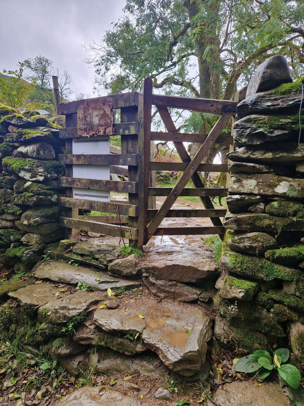
A stone step stile, then a gate in a wall, and then the pitched path starts. Published descriptions match our photographs: stone steps on the right of Stockghyll Lane, a little above a cattle grid, lead to a stile signed for Troutbeck via Wansfell Pike. The path climbs the field beside a beck to a gate, and the pitched path starts beyond it.
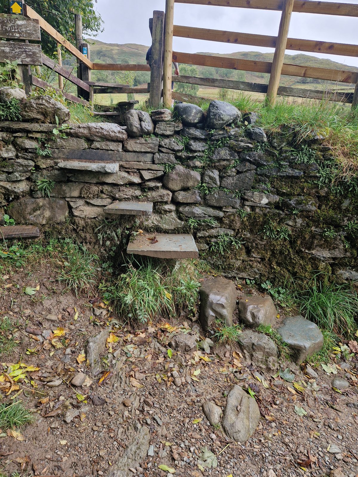
A stone step stile in a dry-stone wall with a wooden fence beside it
A stone step stile with a wooden fence.
A wooden gate set in a stone wall, with flat stone steps below it
A gate in a stone wall.
4

The climb 14:13 to 14:59

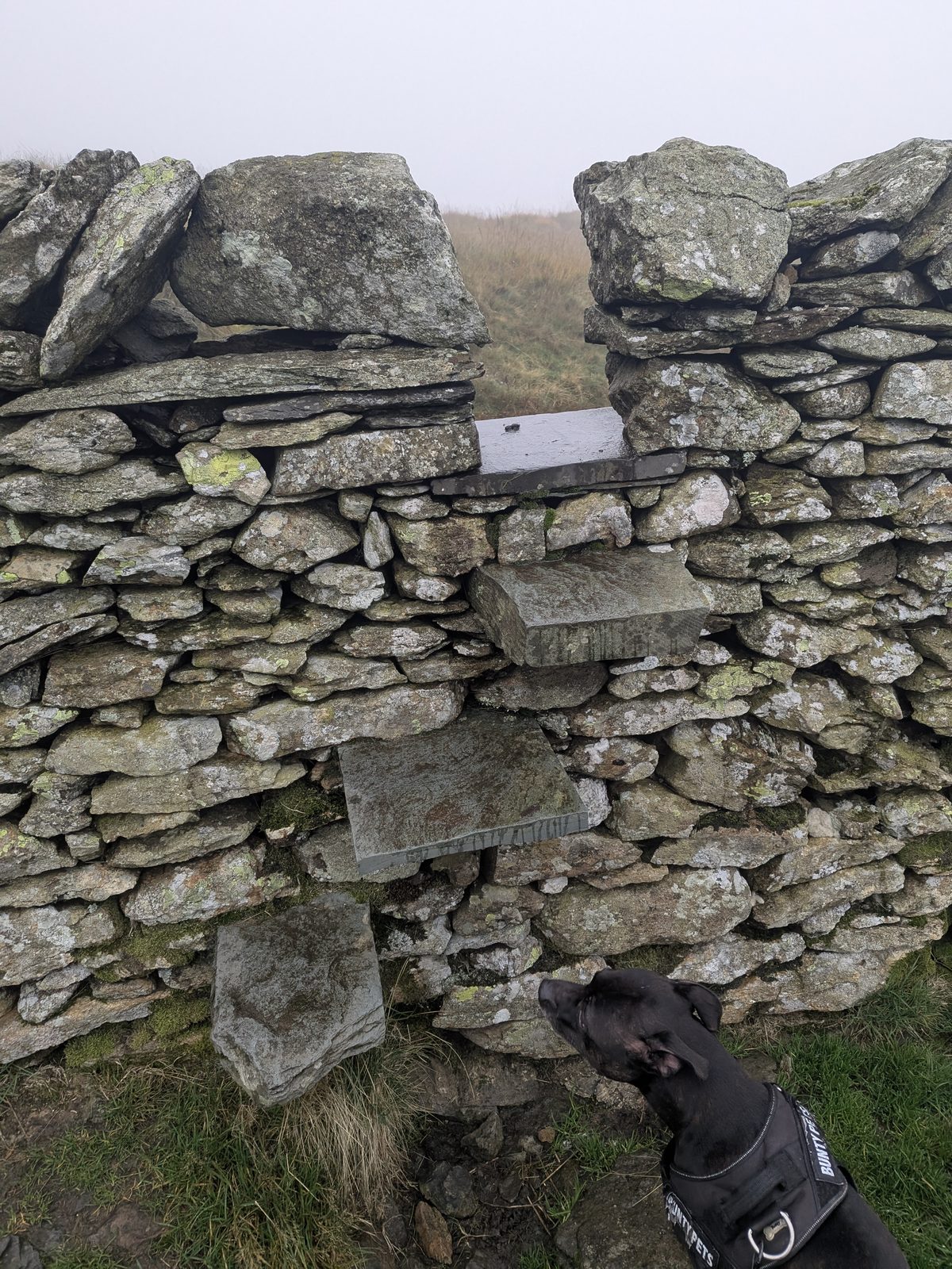
A pitched stone path, steep all the way, with Ambleside dropping away behind you. It was a climb in cloud and mist. Near the top there is a stone step stile in a wall. I can't tell you more exactly where it sits.
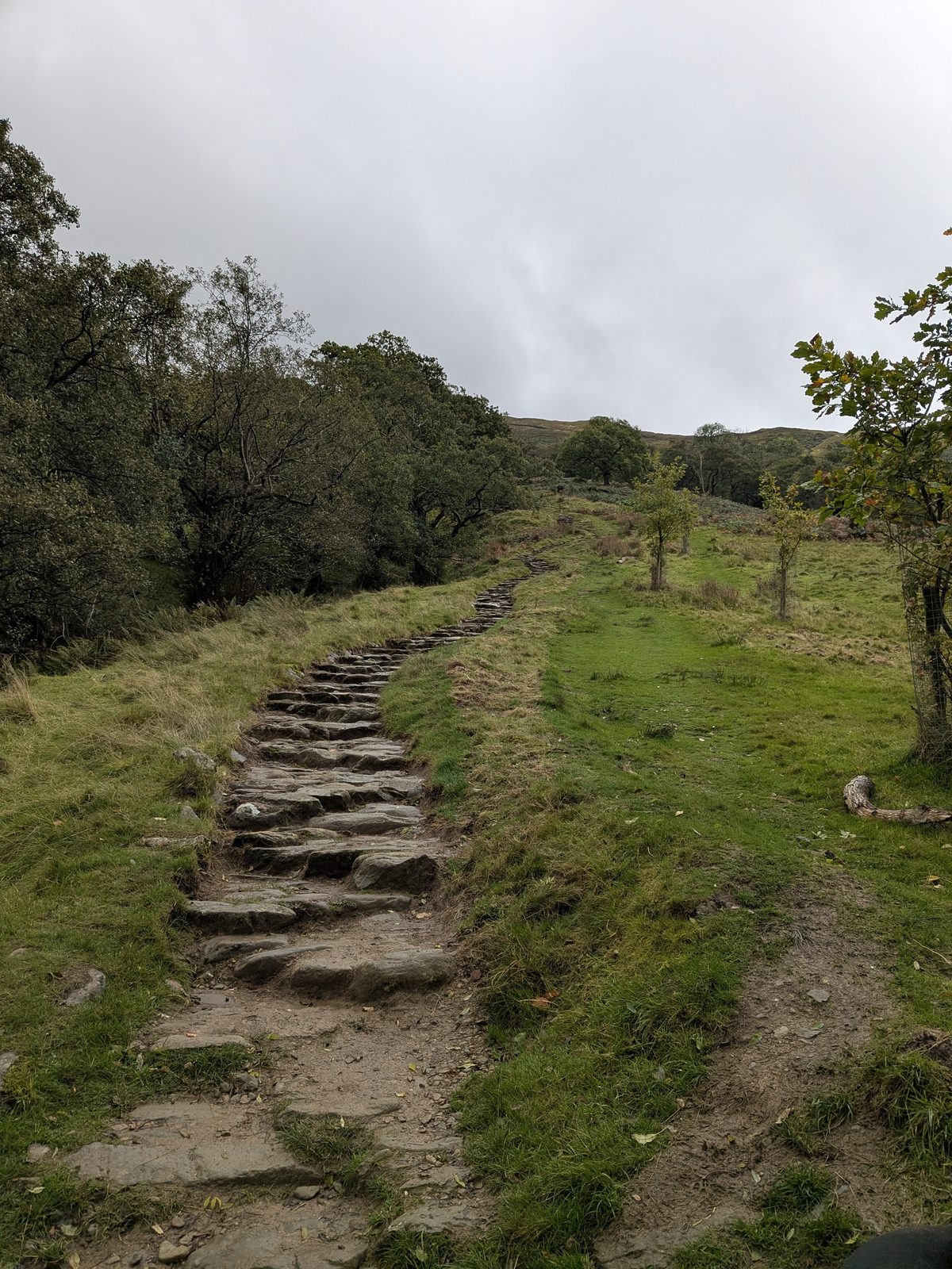
A pitched stone path climbing a grassy hillside between trees
The pitched stone path starts.
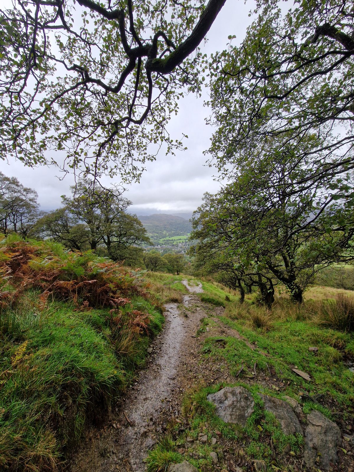
A path winding downhill through bracken and trees on the hillside
The path through the trees.
A view back over the valley under heavy cloud, with a flagged path in the foreground
Looking back over the valley.
A view back from the climb over bracken and a pitched path, under a grey sky
Looking back from the climb.
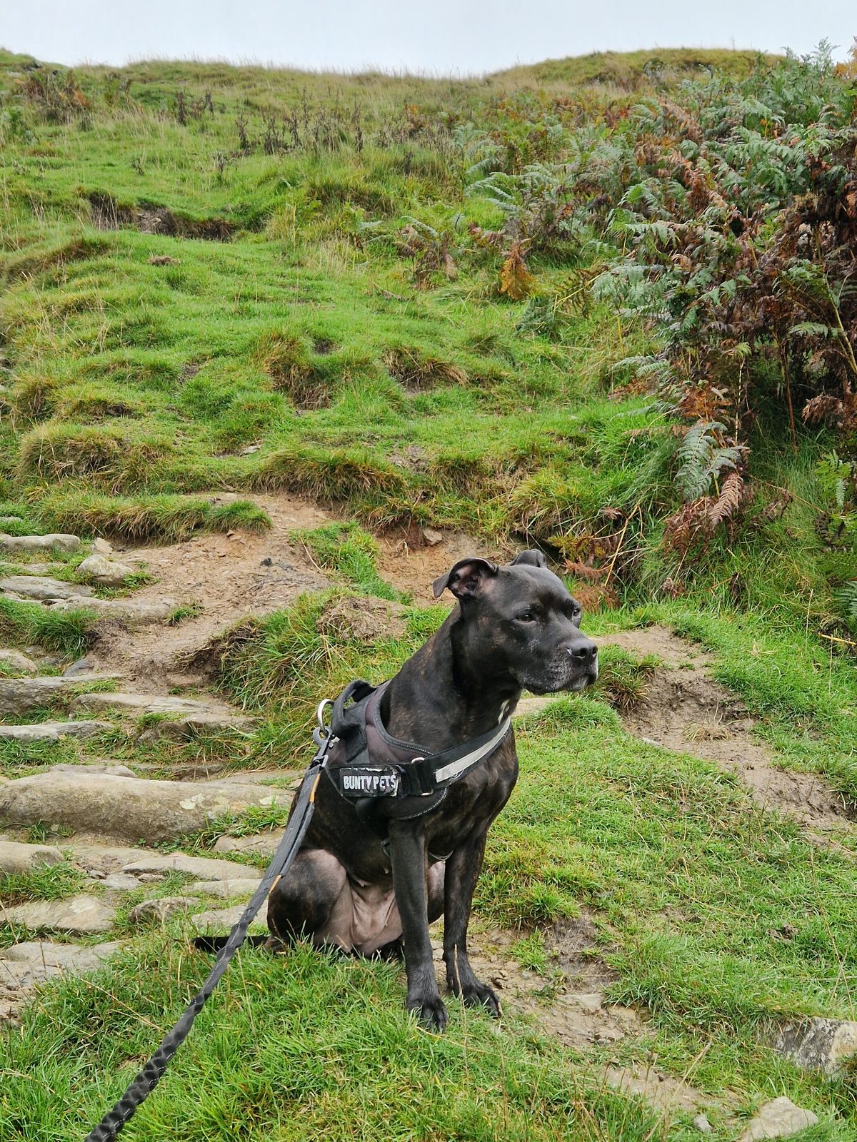
Cass, a Staffordshire Bull Terrier in a harness, sitting on the grass beside the pitched stone path, on the lead
Cass, our Staffordshire Bull Terrier, on the lead, sitting by the pitched path.
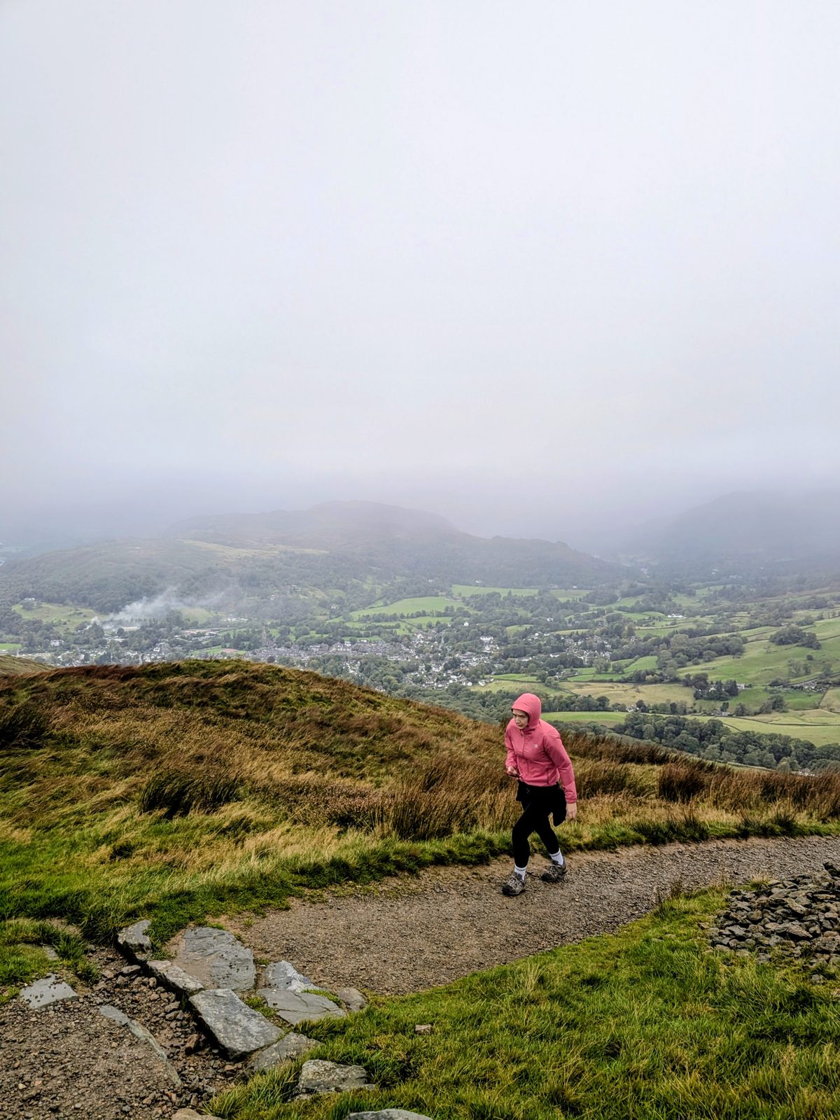
Ellie in a pink jacket walking along the path, with Ambleside and the valley below in mist
Ellie on the path, with Ambleside below in mist.
5

Wansfell Pike about 15:00

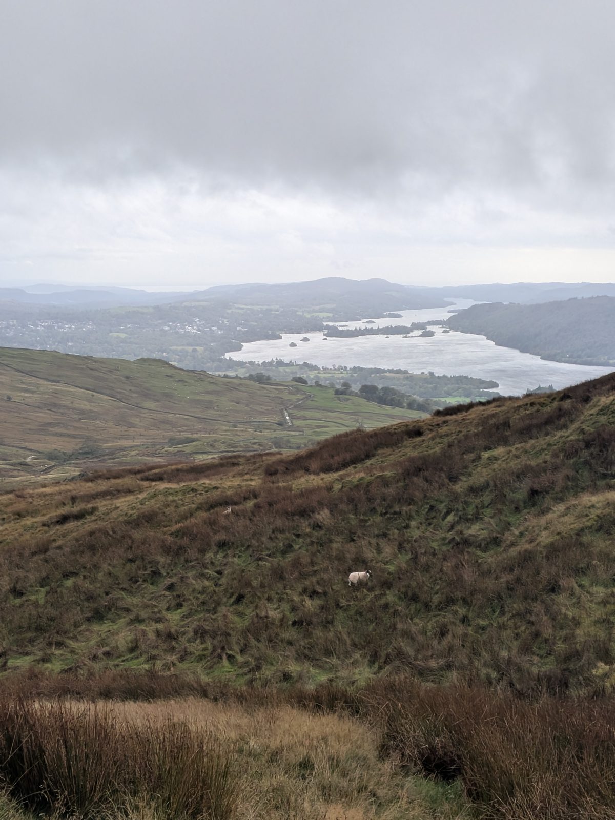
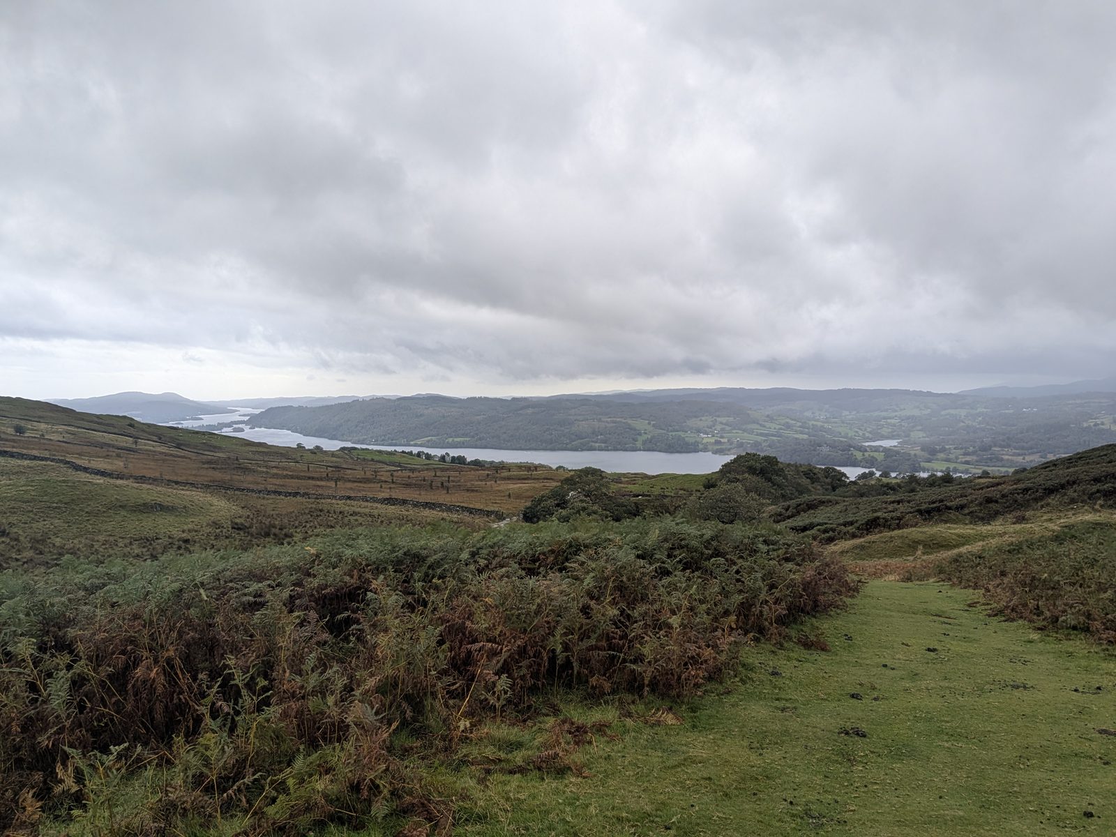
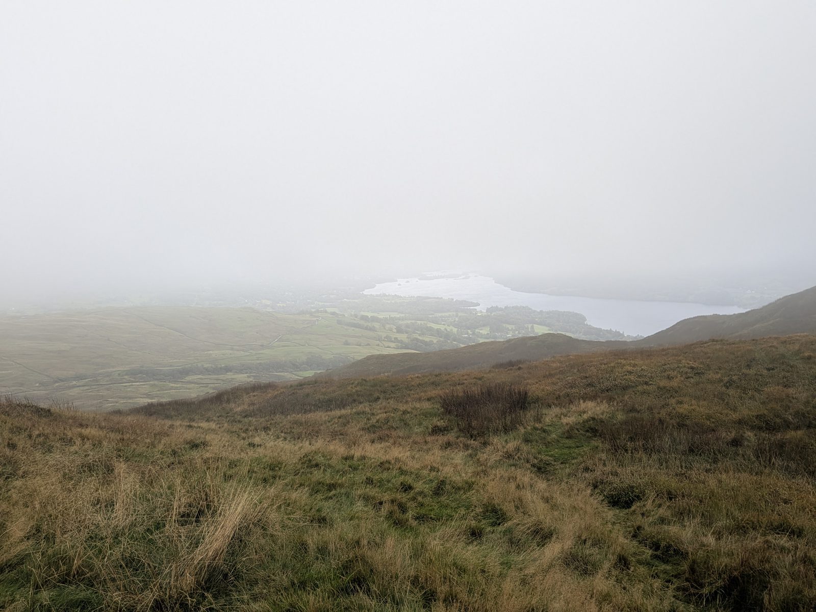
We were on the Pike at about 15:00 in low cloud, with a very harsh wind and rain. I have no photograph of the summit itself. Windermere showed to the south, below the cloud. We still had phone signal on the top. Why the Pike is not the true top.
Windermere in the distance under heavy cloud, with brown hillside in the foreground
Windermere to the south, under the cloud: the clearest view we had.
Cass, a Staffordshire Bull Terrier, beside a stone step stile in a dry-stone wall
A stone step stile in a wall near the top, with Cass, our Staffordshire Bull Terrier.
Windermere beyond a dry-stone wall and a grassy hillside, under a grey sky
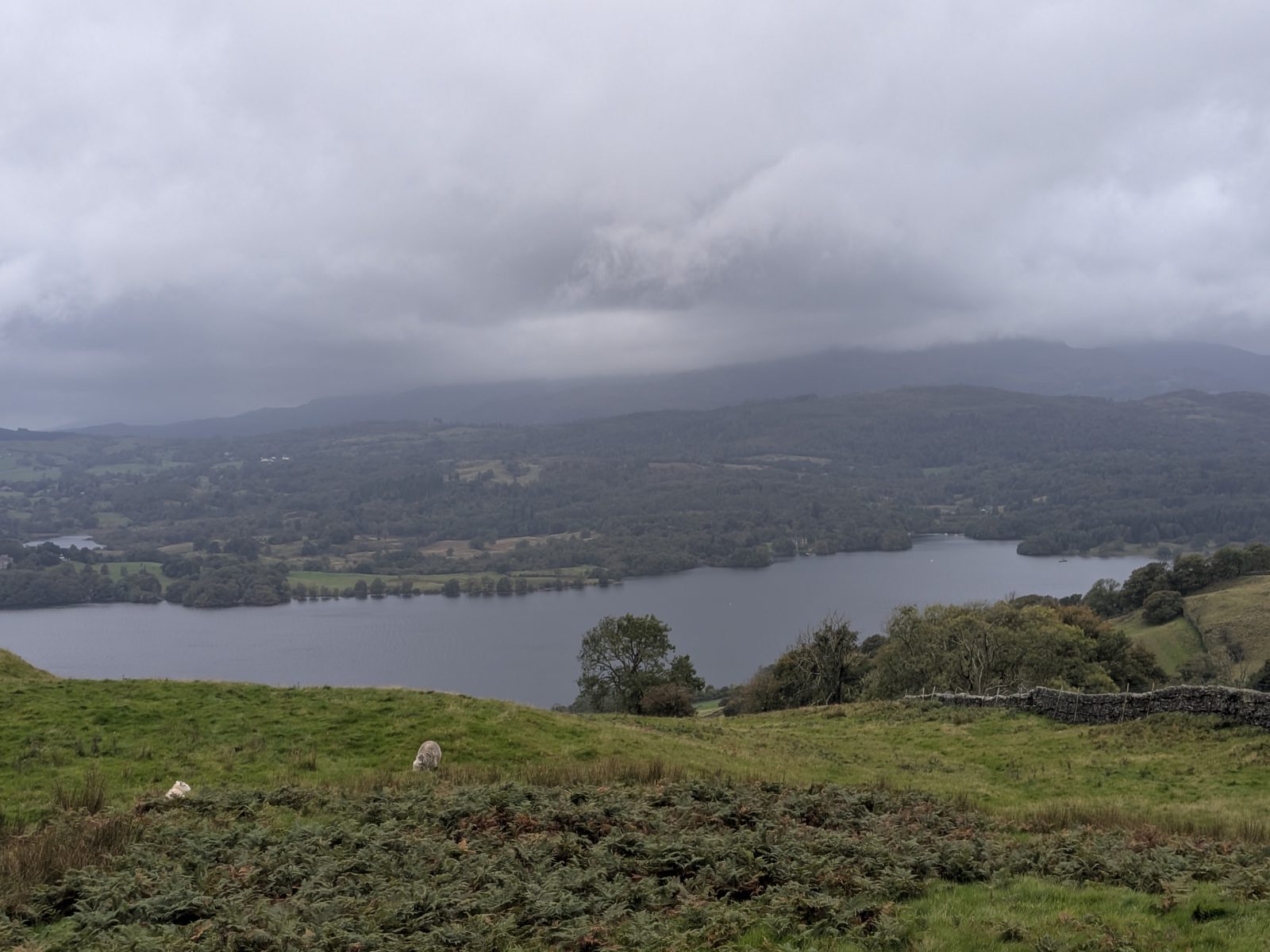
Windermere again, a few minutes later.
6

Gate 1 15:19

Go through the gate and immediately turn right. Do not go straight on.
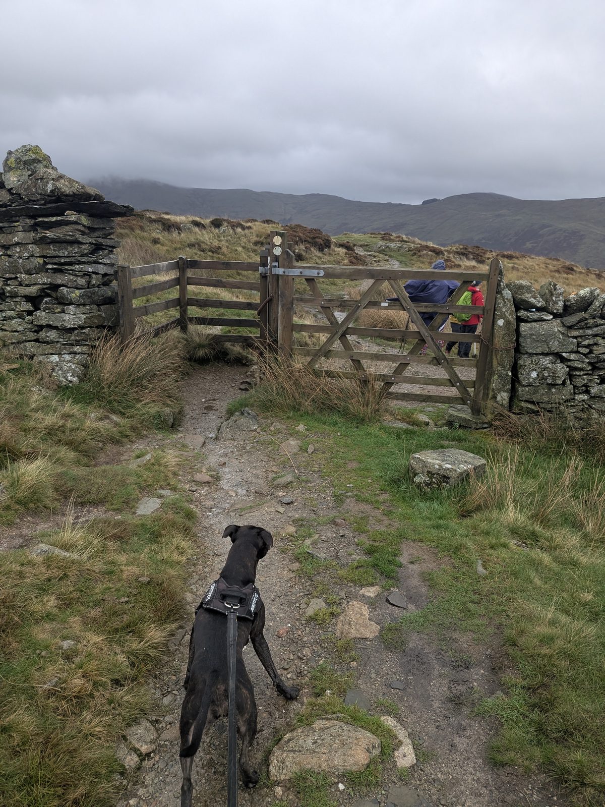
/// what3words — gate 1 ///erupted.doghouse.playful A 3-metre square. One of my own pins.
Cass, a Staffordshire Bull Terrier on the lead, in front of a wooden gate in a stone wall
Gate 1, with Cass, our Staffordshire Bull Terrier, on the lead.
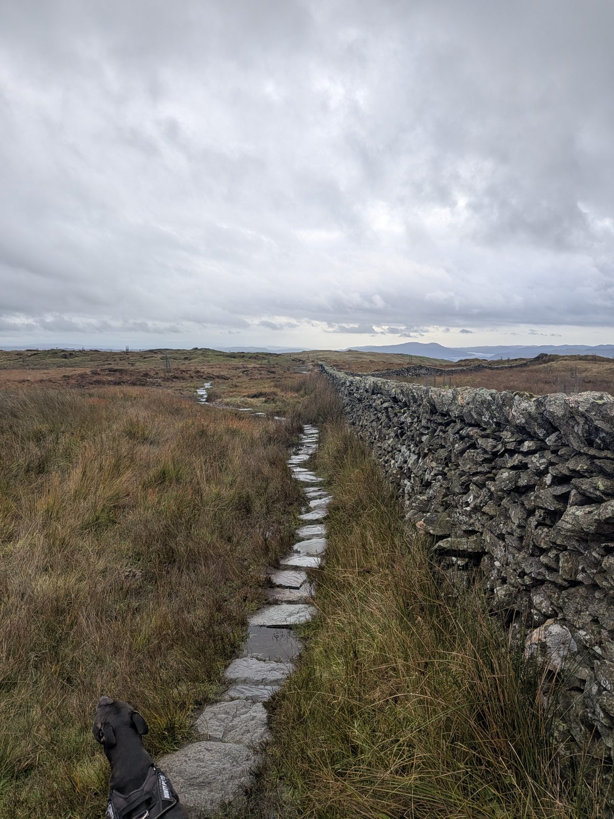
A flagged stone path running beside a dry-stone wall across open fell, with Cass, a Staffordshire Bull Terrier, on the lead in the foreground
The flagged path beside the wall.
7

Gate 2 15:27

A gate with a ladder stile beside it. A flagged path beside a wall leads to it from gate 1.
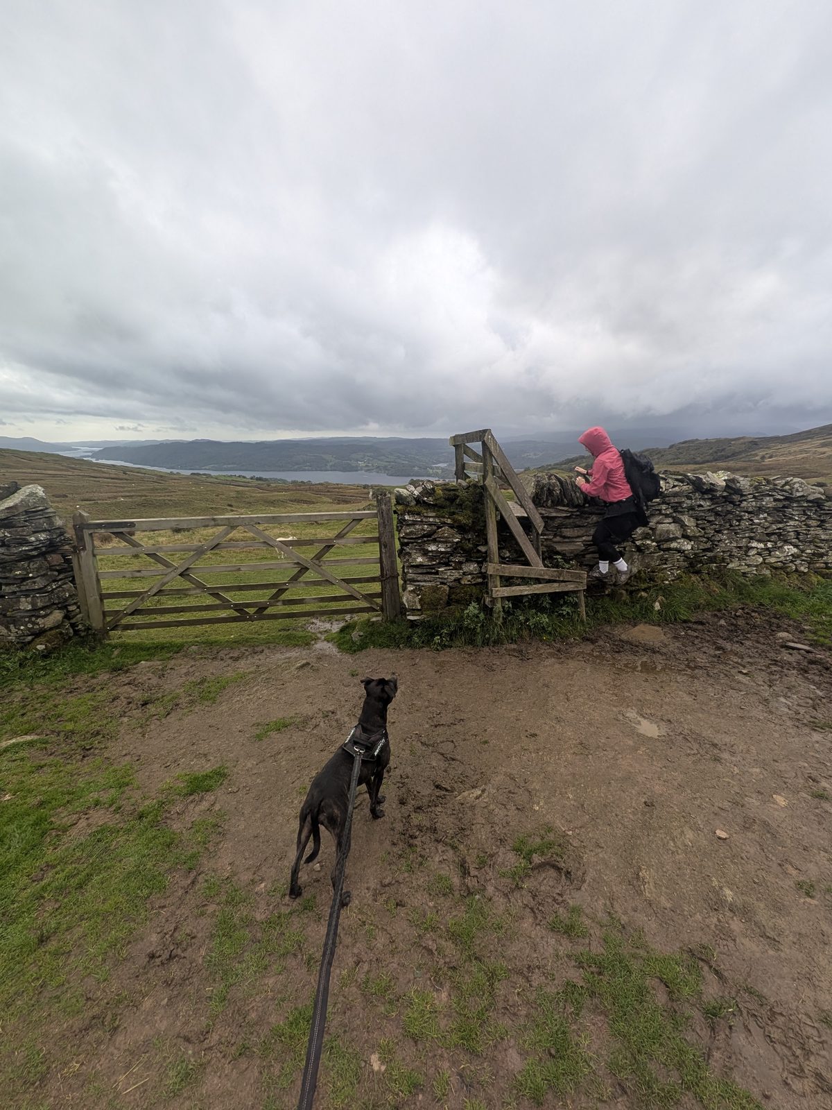
/// what3words — gate 2 ///interrupt.postings.sleepless A 3-metre square. One of my own pins.
Ellie in a pink jacket at a ladder stile beside a wooden gate in a wall, with Cass, a Staffordshire Bull Terrier, on the lead in the foreground
Gate 2, with its ladder stile (step 7).
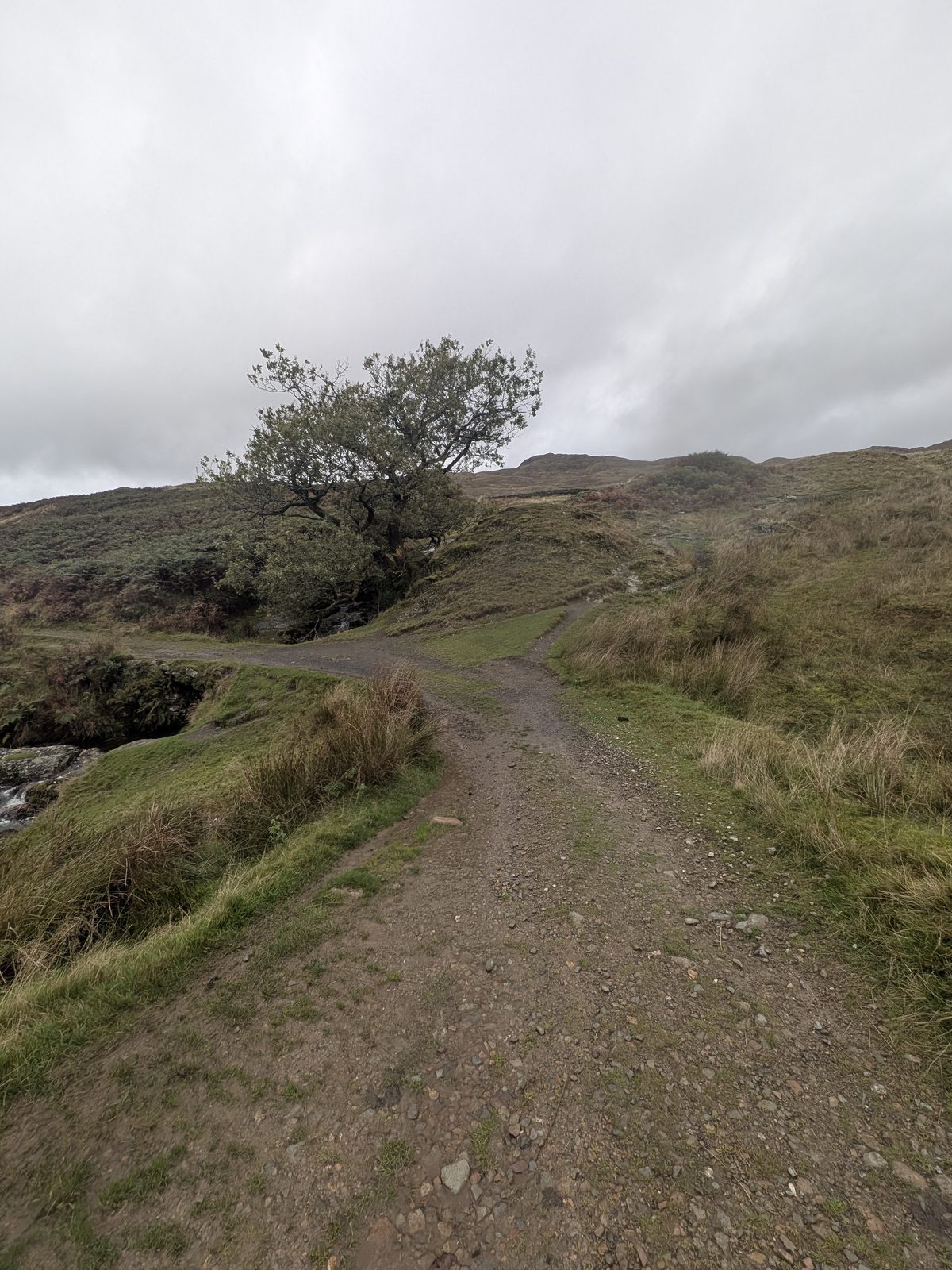
A track forking on open hillside, with a lone tree beside it
The fork in the track (step 8).
8

The fork 15:33

Right goes over the top of a little waterfall. Left goes up to a gate. Take the left, up to the gate.
/// what3words — the fork ///dividers.litigate.disarmed A 3-metre square. One of my own pins.
A view over bracken and grass to Windermere under a grey sky
A view to Windermere on the way down.
Windermere seen from the lane, with fells beyond
Windermere from the lane.
9

The slate sign and gate 15:49

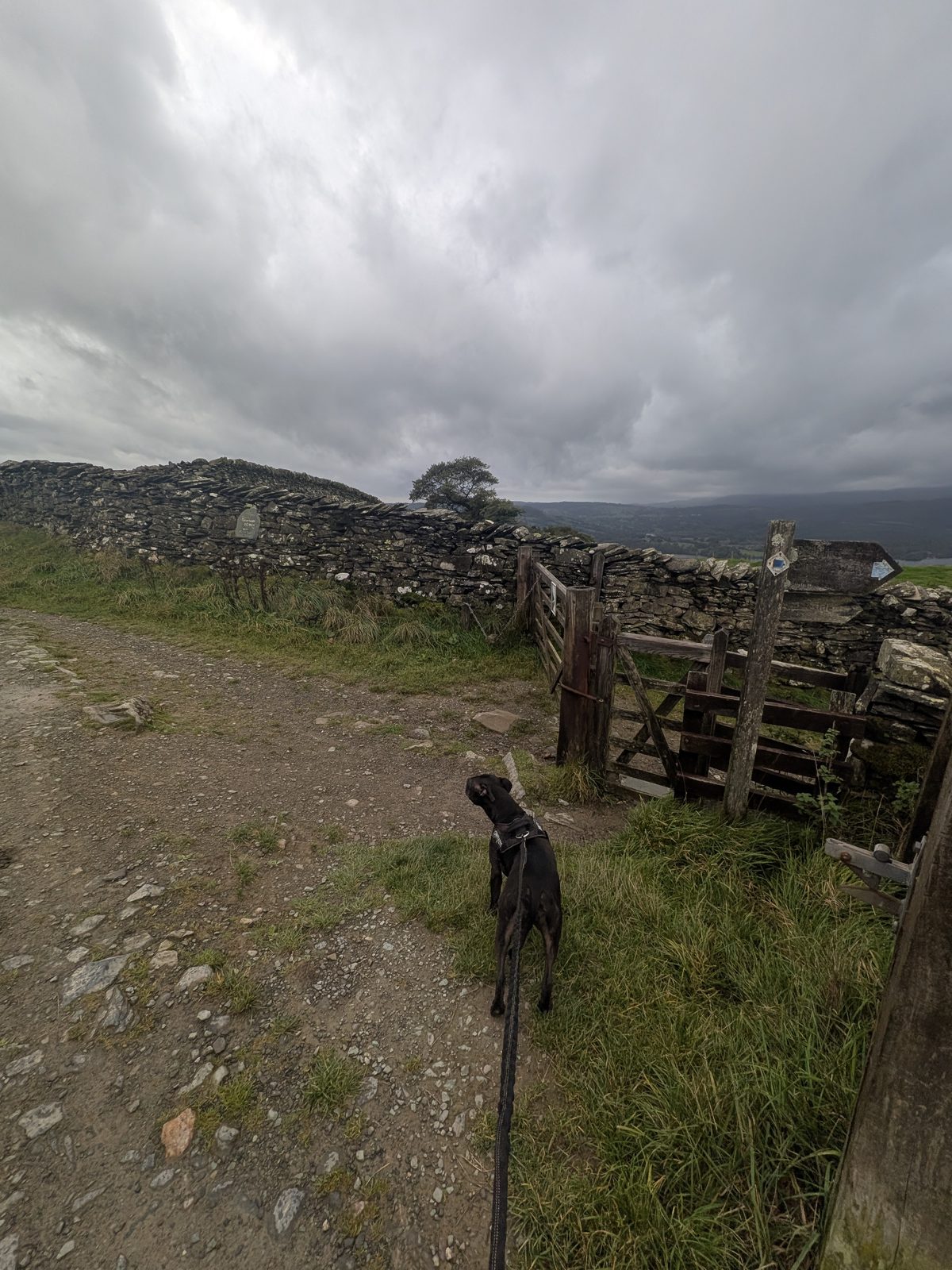
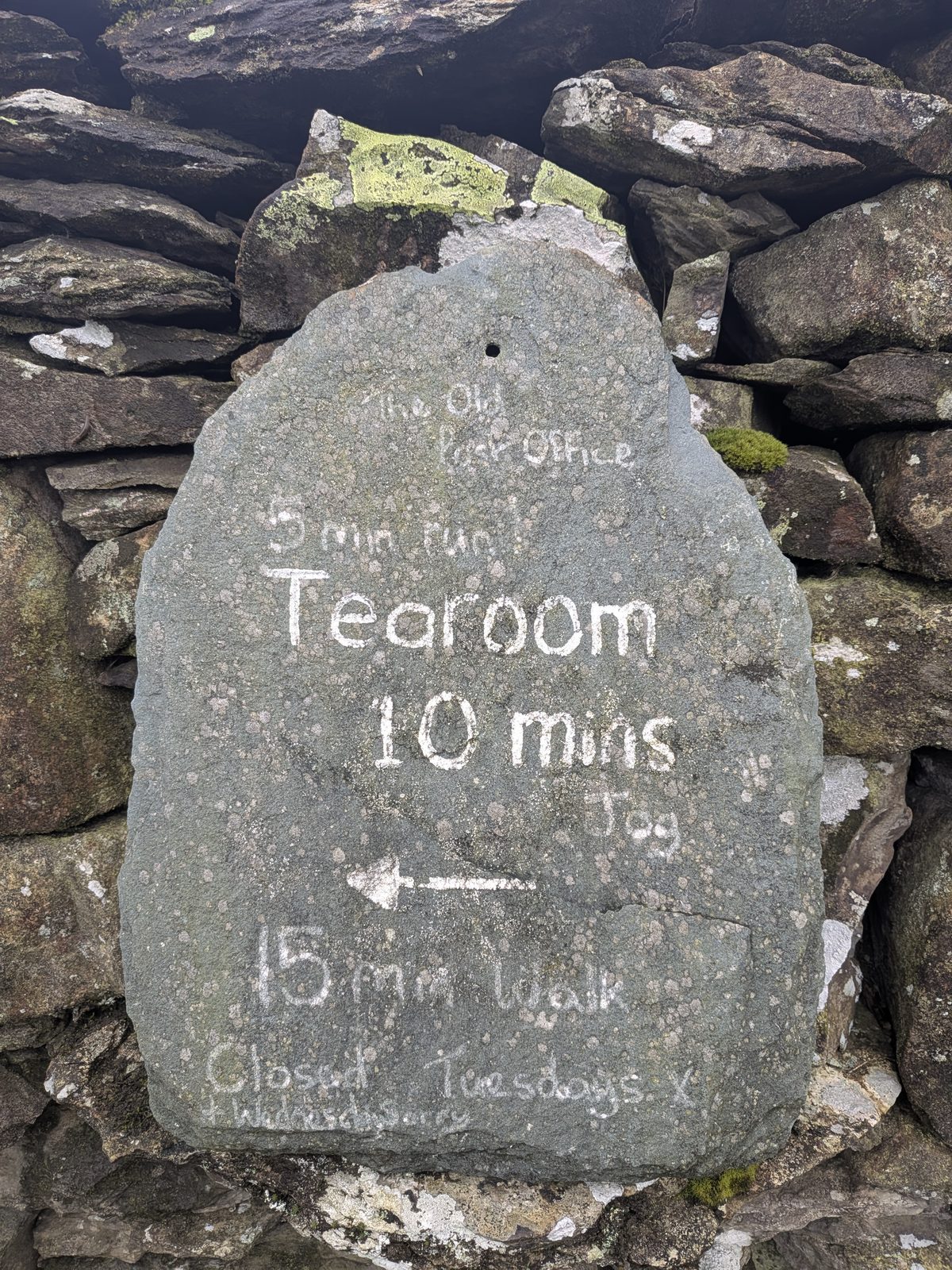
A slate sign in the wall points left to the Old Post Office tearoom: 10 minutes at a jog, 15 minutes' walk. The route turns right, through the gate, signed for Ambleside. A sign here warns of cows with calves in the field, so dogs go on leads from this gate. According to published descriptions, the lane you have been following is the Hundreds Road, and it meets Robin Lane here, where the way to Ambleside is a signed sharp turn back to the right.
/// what3words — the slate sign and gate ///wages.romantics.armrest A 3-metre square. One of my own pins.
Cass, a Staffordshire Bull Terrier on the lead, facing a wooden gate beside a dry-stone wall
The gate beside the slate sign, with Cass, our Staffordshire Bull Terrier, on the lead.
A slate sign set in a dry-stone wall, with hand-lettered directions to the Old Post Office tearoom
The slate sign for the Old Post Office tearoom, as it was on 2 October 2026. Check before visiting.
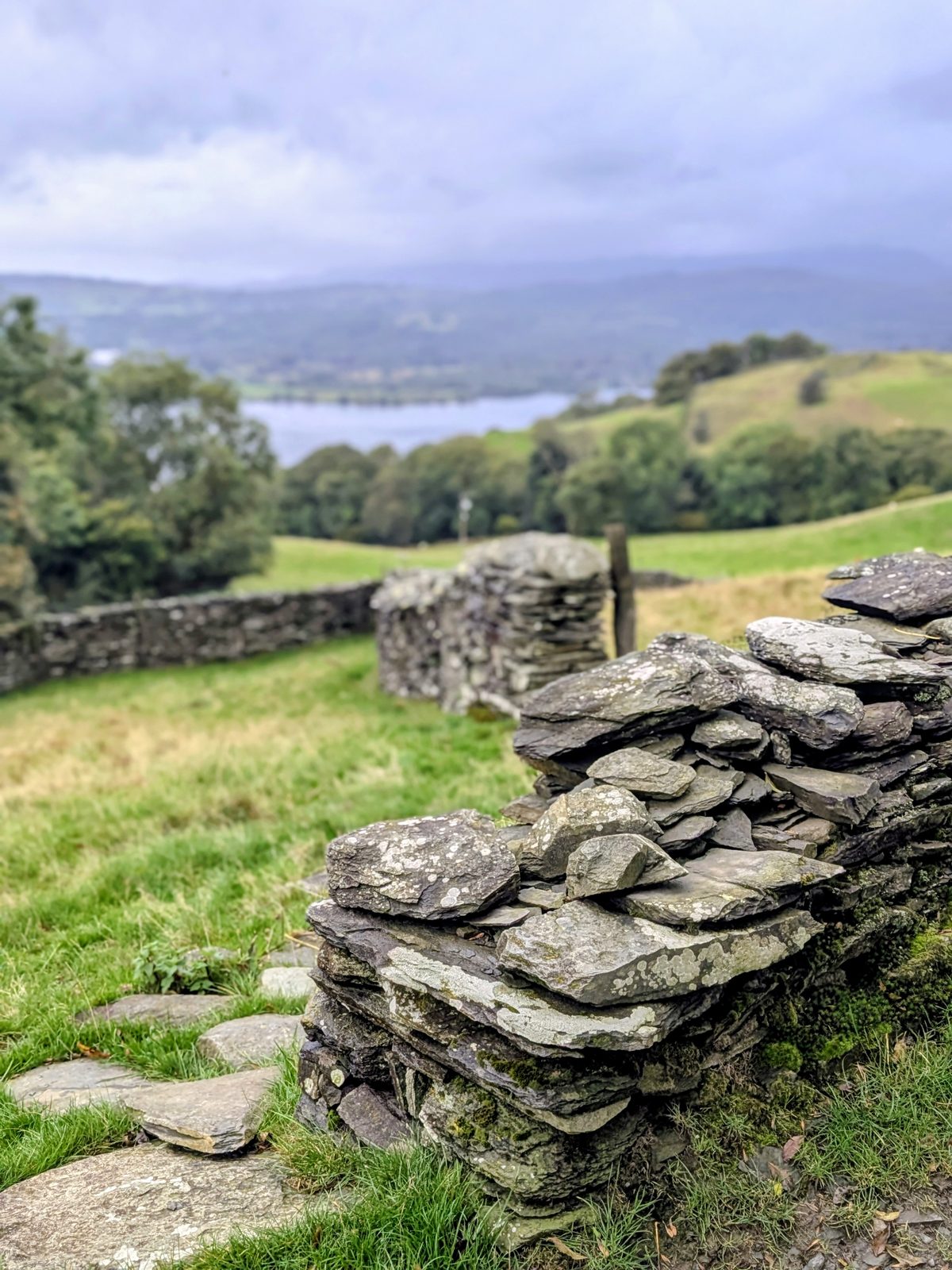
A stack of slate at the end of a dry-stone wall, with a lake beyond
A wall end, with the lake beyond.
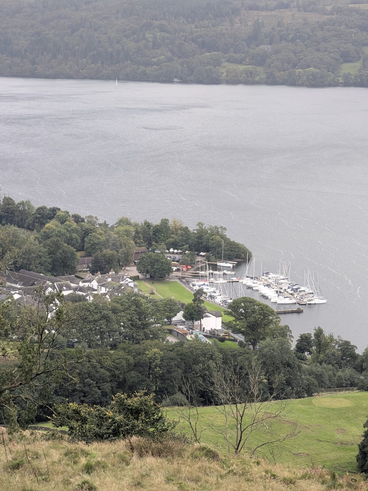
A lake seen from above through trees, with boats moored in a bay below
The lake from above the woods.
10

The farm 16:08

You walk through a farm and it feels like walking through someone's garden. At the end there is a five-bar gate on the left: do not go through it. Take the gap on the right and go up the pathway. You are in the woods straight away. The farm is High Skelghyll, according to published descriptions and our recorded track.
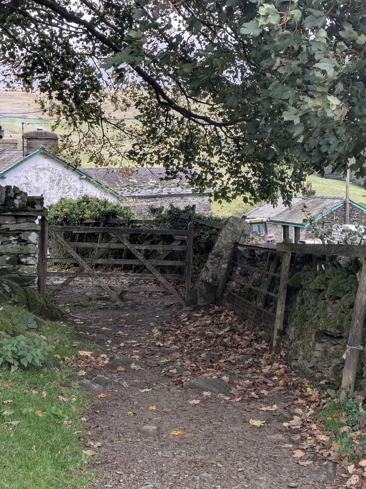
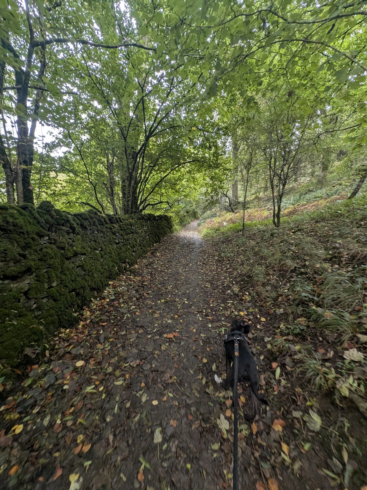
/// what3words — the farm ///copies.schooling.shunted A 3-metre square. One of my own pins.
A five-bar gate on the left and a gap on the right between stone walls at the farm
The farm gates: not the five-bar gate on the left, but the gap on the right.
A leaf-covered path beside a stone wall in woodland, with Cass, a Staffordshire Bull Terrier, on the lead ahead
A leaf-covered path beside a wall.
11

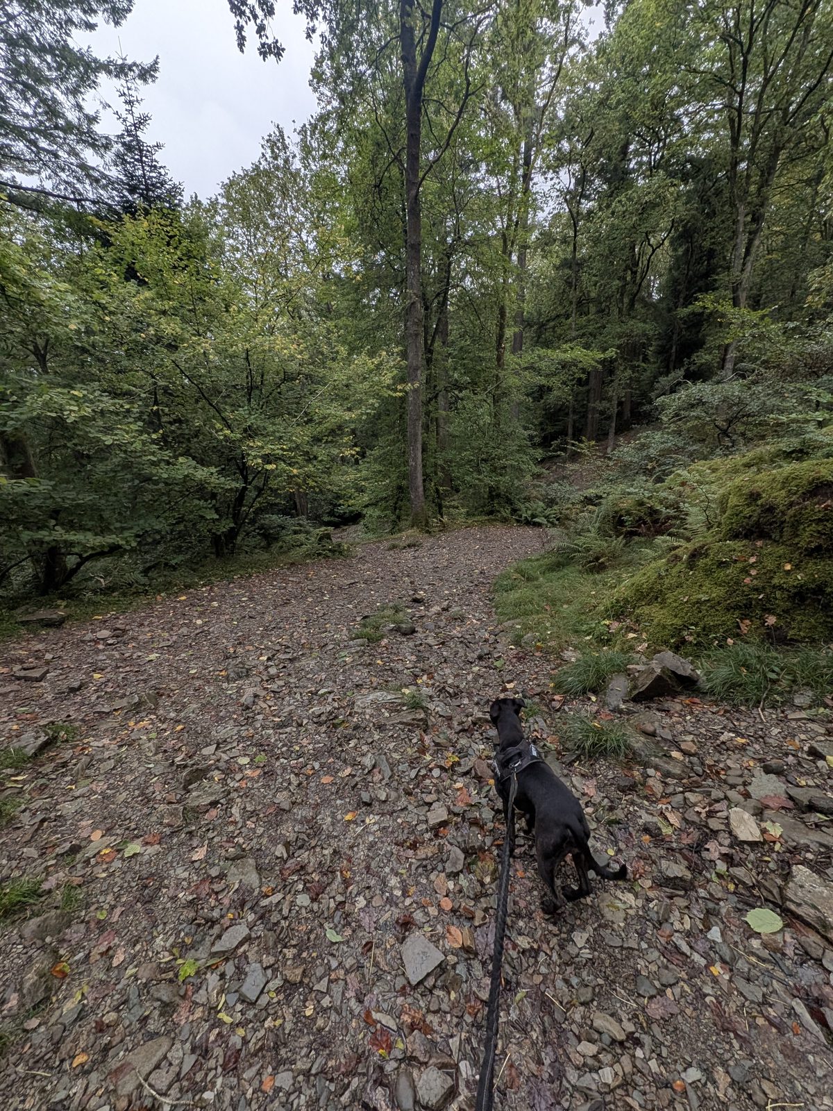
The woodland junction 16:24 to 16:28

Turn left for Waterhead. Carrying straight on still takes you to Ambleside; it is just a different finish. In Skelghyll Wood a short signed detour leads to the Jenkin Crag viewpoint, which is also written Jenkyn's Crag or Jenkins Crag. We did not take it, so I have nothing first-hand to add.

/// what3words — the woodland junction ///rats.symphonic.commended A 3-metre square. One of my own pins.
12

Waterhead 16:40

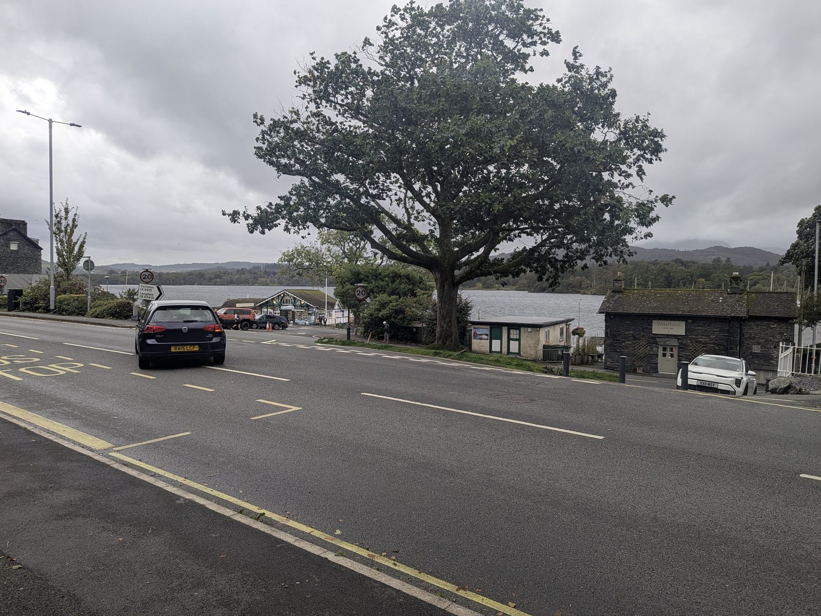
You come out down stone steps onto the A591. The path is signed only “Public Footpath”, but it is the one that goes up the fell. You can start the walk here instead. The climb from this end is still a climb, but less steep.
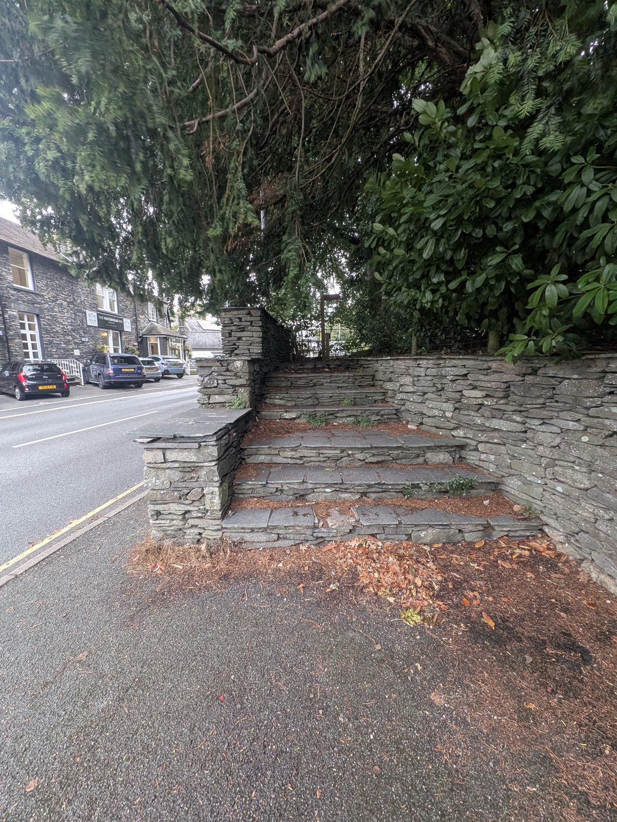
/// what3words — the steps at Waterhead ///parent.locked.microfilm A 3-metre square. One of my own pins.
A woodland path junction on a shale path, with Cass, a Staffordshire Bull Terrier, on the lead
The woodland junction (step 11). Left is Waterhead.
Stone steps rising from the pavement of the A591 beside a stone wall and trees
The stone steps onto the A591, signed only “Public Footpath” (step 12).
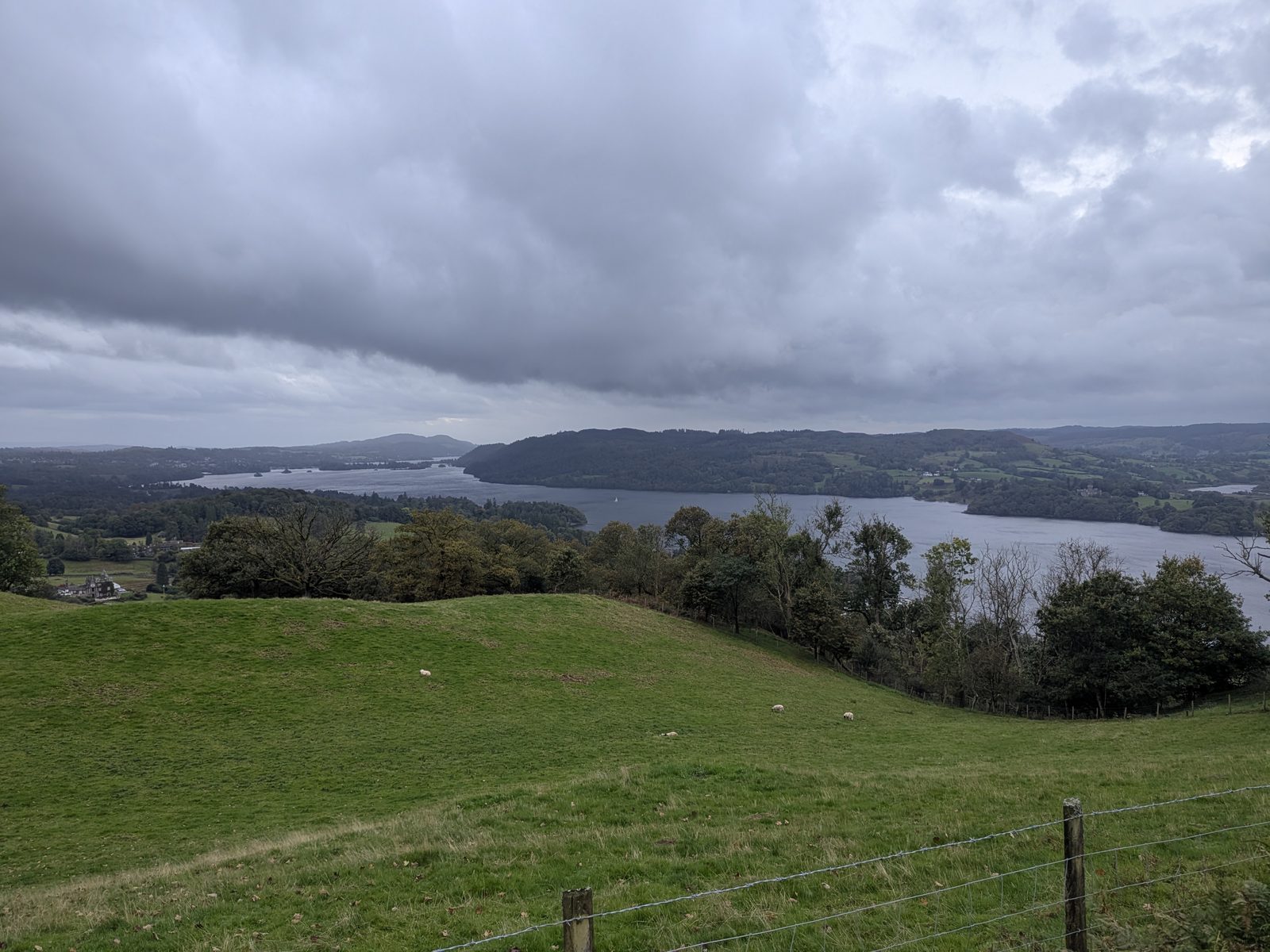
A green field sloping towards Windermere under cloud
A field and Windermere, just past the farm (step 10).
The A591 at Waterhead, with a large tree beside the road
The A591 at Waterhead.

The other way round

The route from Waterhead

We walked from Ambleside only. These are the same directions reversed, built from our pins rather than from memory, so trust the pins over any left or right.

  1. Start at the stone steps on the A591 at Waterhead, signed “Public Footpath” (///parent.locked.microfilm).
  2. Climb through the wood to the junction with the main path (///rats.symphonic.commended). Turn right, uphill. Left goes down to Ambleside.
  3. Leave the wood by the gap beside the five-bar gate and walk through the farm (///copies.schooling.shunted).
  4. Follow the bridleway to the gate by the slate tearoom sign (///wages.romantics.armrest). Go through and turn sharp left, uphill. The lane ahead goes down to Troutbeck.
  5. Pass the fork by the small waterfall, where the two branches rejoin (///dividers.litigate.disarmed).
  6. Reach gate 2, with its ladder stile (///interrupt.postings.sleepless). Then follow the flagged path beside the wall.
  7. At gate 1 (///erupted.doghouse.playful) turn left through it and climb to Wansfell Pike.
  8. Descend the pitched path steeply to Stockghyll Lane and follow it down into the middle of Ambleside, or drop through Stock Ghyll woods to see the falls on the way.

Troutbeck is the other side of the fell. The lane that goes straight on at the slate-sign gate goes down to Troutbeck, and published routes reach the Pike from there. We did not walk to Troutbeck, so I will not describe it.

The late choice

Finishing in Ambleside instead of Waterhead

At the woodland junction (step 11, ///rats.symphonic.commended) we turned left for Waterhead. Carrying straight on still takes you to Ambleside; it is just a different finish. If you would rather end in the town, that is the choice to make.

If you finish at Waterhead, you can walk back to the centre of Ambleside easily. The well-known circular carries on to Troutbeck, and we did not walk it.

Refuel

Tea and pubs

Check before visiting any of these. We did not visit the first two, so we say only where they are.

The Old Post Office Tea Room, Troutbeck

Off the route: the slate sign at the gate (step 9) points left to it, 15 minutes' walk. It is trading under that name. We did not go, so check before visiting.

Grove Barn

Off the route above Stock Ghyll: 600 m over the ladder stile at the top of the falls (step 2). We did not go in. Check before visiting.

Wateredge Inn, Waterhead

Nearest pub / refuel at the finish. It is where we stayed. Check before visiting.

Getting there

Parking and getting there

There is no car park on the fell. You park in Ambleside and walk up, or at Waterhead if you start there. We stayed at Waterhead and walked from the Square, so these options come from our other pages: check the signs on the day.

By car

For the Ambleside start, see the options on our Stock Ghyll Force page: the pay and display car park on the A591 above the town, or the laybys on Stockghyll Lane, signed for a parking disc and a time limit.

For the Waterhead start, Waterhead car park (LA22 0ES) is a pay car park by the lake. See our Ambleside Roman Fort guide.

On foot

The Square in Ambleside is the start we used, and Waterhead is an easy walk from the centre. Our Ambleside guide covers the town.

By bus

The National Trust lists buses 555 and 599 to Waterhead. Check the Stagecoach timetables before you rely on either.

Weather

The view we didn't get

We had no view at the top. There was rain and a harsh wind on the Pike, low cloud, and it was clearer below the cloud. The top is exposed, so dress for it rather than for Ambleside. We had phone signal there and all the way round, but do not let that replace a map, warm layers and a plan. Check the Lake District Weatherline before you go, and if the top is in cloud, you may prefer to wait for a clear day.
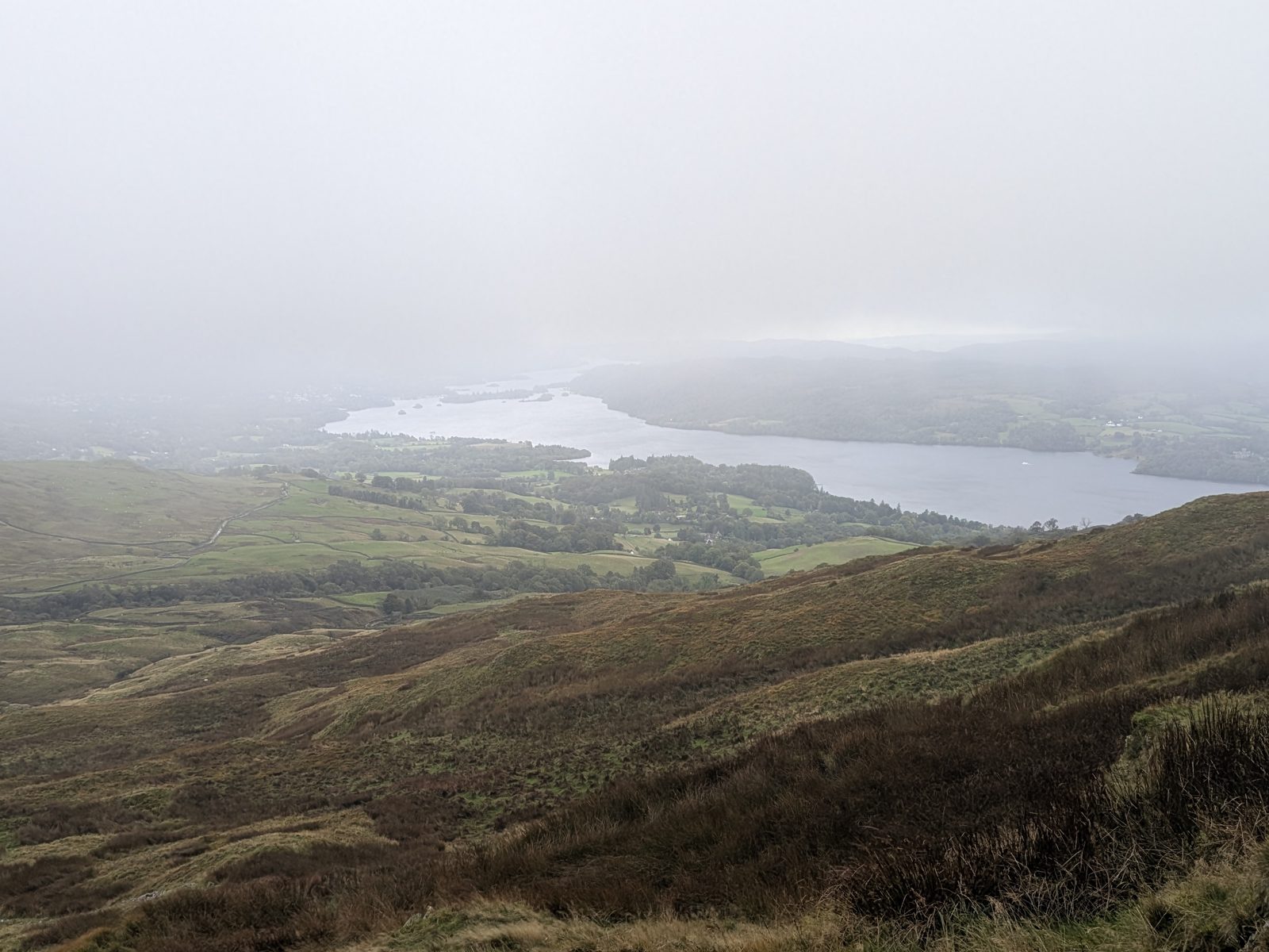
Windermere almost lost in cloud, beyond brown hillside
Windermere, almost lost in the cloud.
Windermere under a low cloud base, beyond brown hillside
The lake under the cloud.

Common questions

Wansfell Pike, answered

How long does it take to walk up Wansfell Pike?
From the Square in Ambleside to the Pike took us about 1 hour 30 minutes, just under 2 miles, and that included the Stock Ghyll Force loop and photo stops. The whole walk from Ambleside to Waterhead took 3 hours 15 minutes.
Is Wansfell Pike a difficult walk?
It is a short walk with a very steep climb. From Ambleside the ascent is very steep up a pitched stone path. From Waterhead it is more of a stroll up a hill, and the steep part is the descent into Ambleside. The top is exposed: we had a very harsh wind and rain there.
Is Wansfell Pike a Wainwright?
The Wainwright is Wansfell, and in Wainwright's guide its summit is Baystones, about a kilometre north-east of the Pike and a few metres higher. Wansfell Pike is the well-known top, but it is not the Wainwright summit. We reached the Pike and did not go on to Baystones.
How high is Wansfell Pike?
Wansfell Pike is 482 m (1,581 ft). Baystones, the highest point of the fell, is a few metres higher; sources give 487 or 488 m.
Is there a circular walk to Wansfell Pike from Ambleside?
Our route is a line, not a circle: from the Square in Ambleside to Waterhead, 5.4 miles. Waterhead is an easy walk from the centre of Ambleside, and at the woodland junction near the end, carrying straight on gives you a finish in Ambleside itself. The well-known circular carries on to Troutbeck. We did not walk it.
Can you walk up Wansfell Pike from Waterhead?
Yes. Start at the stone steps on the A591 at Waterhead, signed only “Public Footpath” (what3words ///parent.locked.microfilm). The climb from this end is still a climb, but it is less steep than from Ambleside. We walked it from Ambleside, not from Waterhead, so our directions from this end are our route reversed.
Where can I park for Wansfell Pike?
There is no car park on the fell. Park in Ambleside and walk up, or at Waterhead if you start there. We stayed at Waterhead and walked from the Square, so we cannot recommend a space. Waterhead car park (LA22 0ES) is a pay car park, and Ambleside has a pay and display car park on the A591 above the town. Read the signs on the day.
Is there phone signal on Wansfell Pike?
Yes, on the day we walked it. We had phone signal all the way round from Ambleside to Waterhead, including on top of Wansfell Pike. That was one day on our phones, so signal can vary with network and weather. Still carry a map and tell someone your plan.
Is Wansfell Pike a mountain?
At 482 m it is a fell, well under the 2,000 ft (about 610 m) usually used for a mountain.

Keep exploring

More around Ambleside