Ambleside · Free
Stock Ghyll Force, Ambleside
A free waterfall walk in the woods above the middle of Ambleside. Go up the left-hand side, cross the bridge at the top, and you finish where both ways out are.
A free waterfall walk in the woods above the middle of Ambleside. Go up the left-hand side, cross the bridge at the top, and you finish where both ways out are.
The honest version
Stock Ghyll Force is a free waterfall walk that starts a few minutes from the middle of Ambleside. There is no ticket office and nothing to book. It is public woodland, so there are no opening times either. We walked it on Friday 2 October 2026, Ellie, Cass and me, and my verdict is one word: excellent. We had phone signal throughout, which is handy to know on steep steps beside a ravine; it was one day on our phones, so do not rely on it.
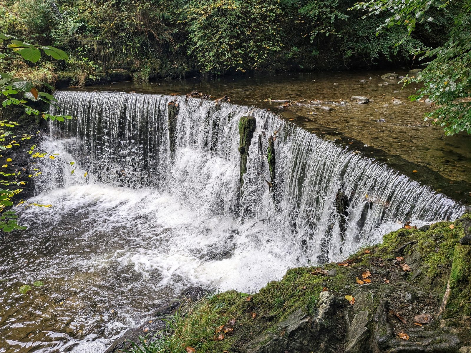
Two things to know before you go. The way up past the falls is an extremely steep climb up steps, so it is short but not gentle. And the big wide fall you meet first, near the bottom of the woods, is a weir. It is lovely, but it is not the Force. Stock Ghyll Force itself is the twin drop higher up the woods.
If you only do one thing: go up the left-hand side and cross the bridge at the top. You end up at the viewpoint with the picnic table, where both ways out of the woods are, so nobody has to walk back down.
Getting to the start
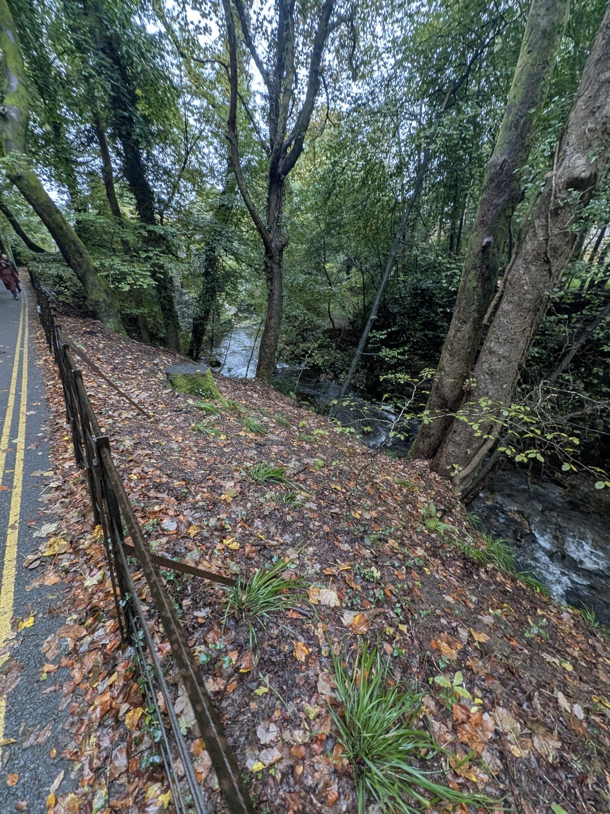
Start at the Square in the centre of Ambleside, the one with Greggs and Costa. Head out to the right and up the road, past the Market Hall, then down the back lane just up from the Square, going the same way as the one-way traffic. The road climbs from the very start.
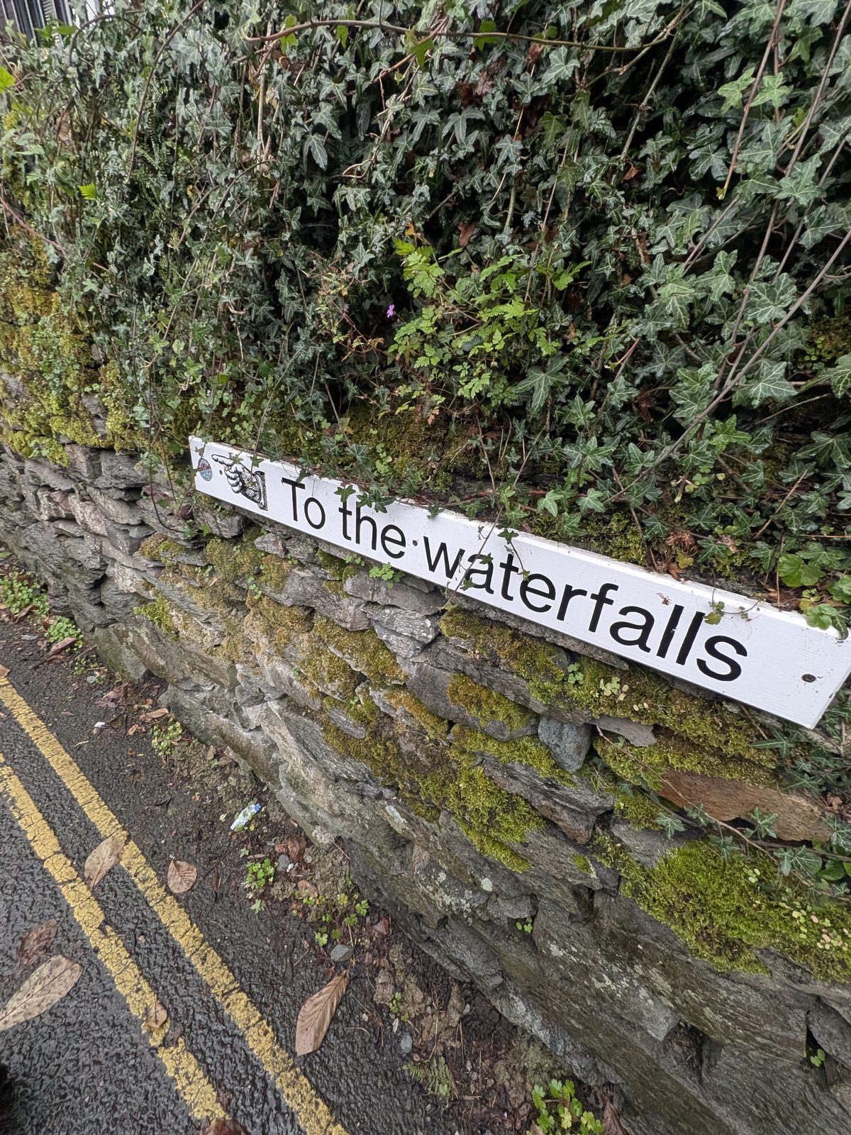
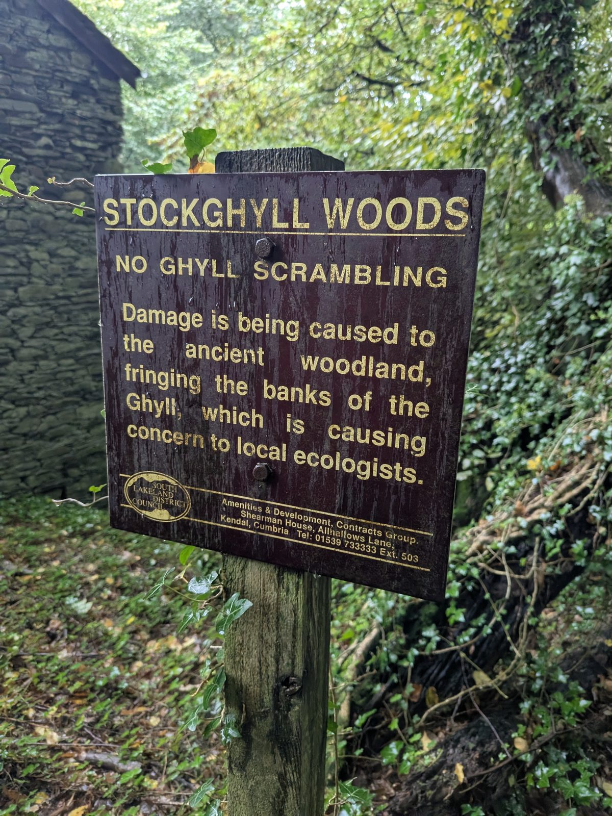
Follow the “To the waterfalls” sign into Stockghyll Woods. We left the Square at 13:32 and reached the first waterfall at 13:41, so allow about ten minutes. A brown Stockghyll Woods sign on the lane asks you not to scramble up the ghyll; more on that below.
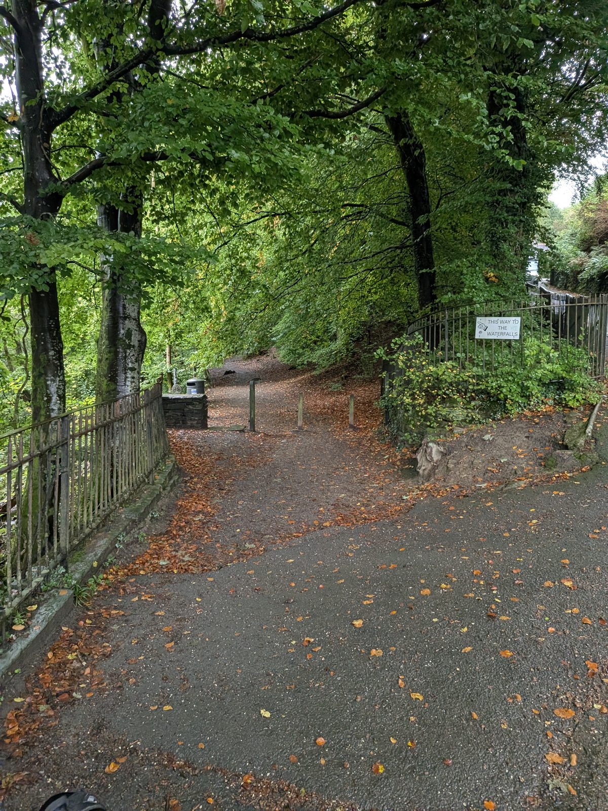
The route
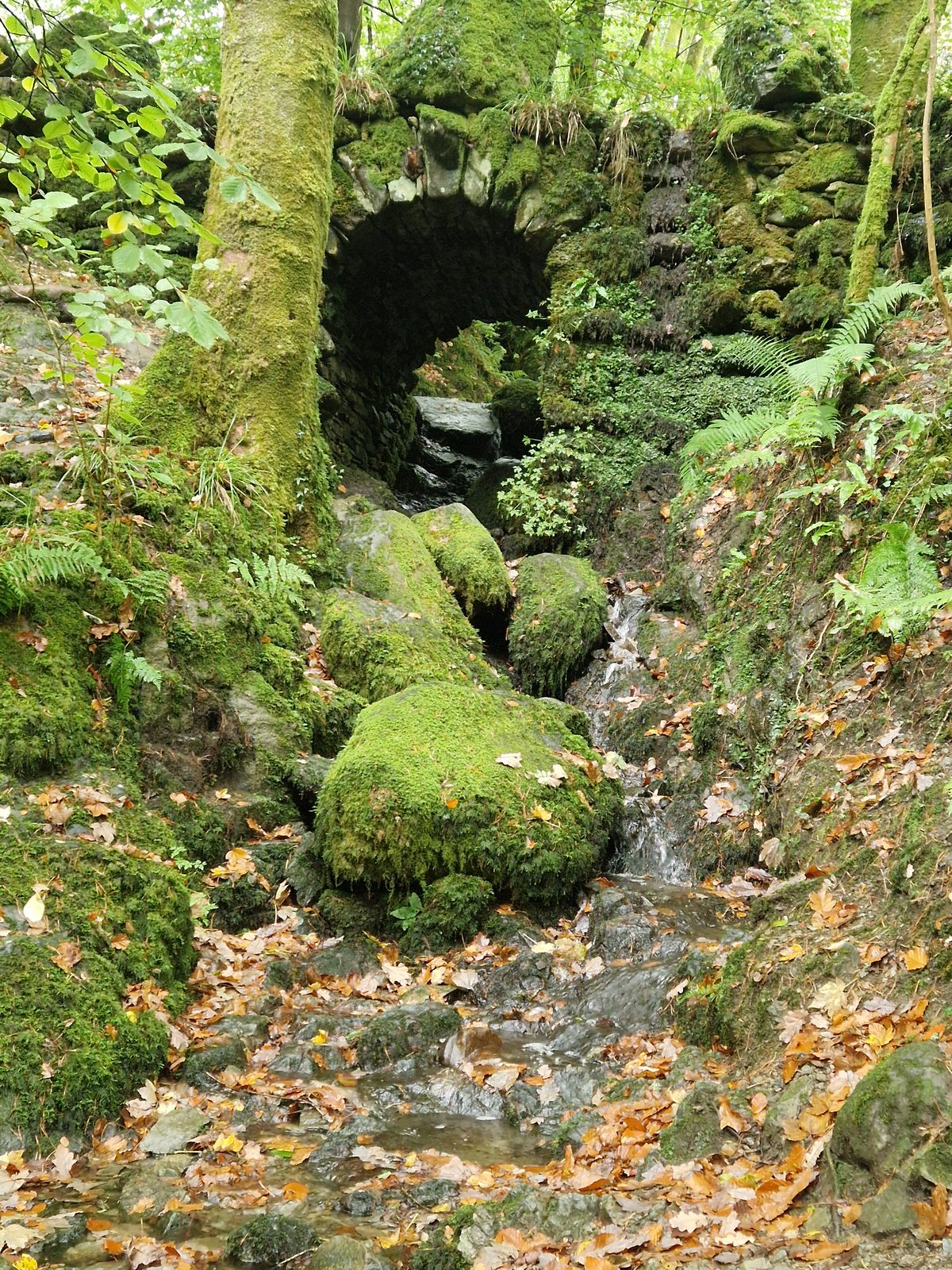
You see the first waterfall at the beginning, near the bottom of the woods. It is wide and low and made by people: a weir. Enjoy it, take a photograph, and keep going, because Stock Ghyll Force is higher up.
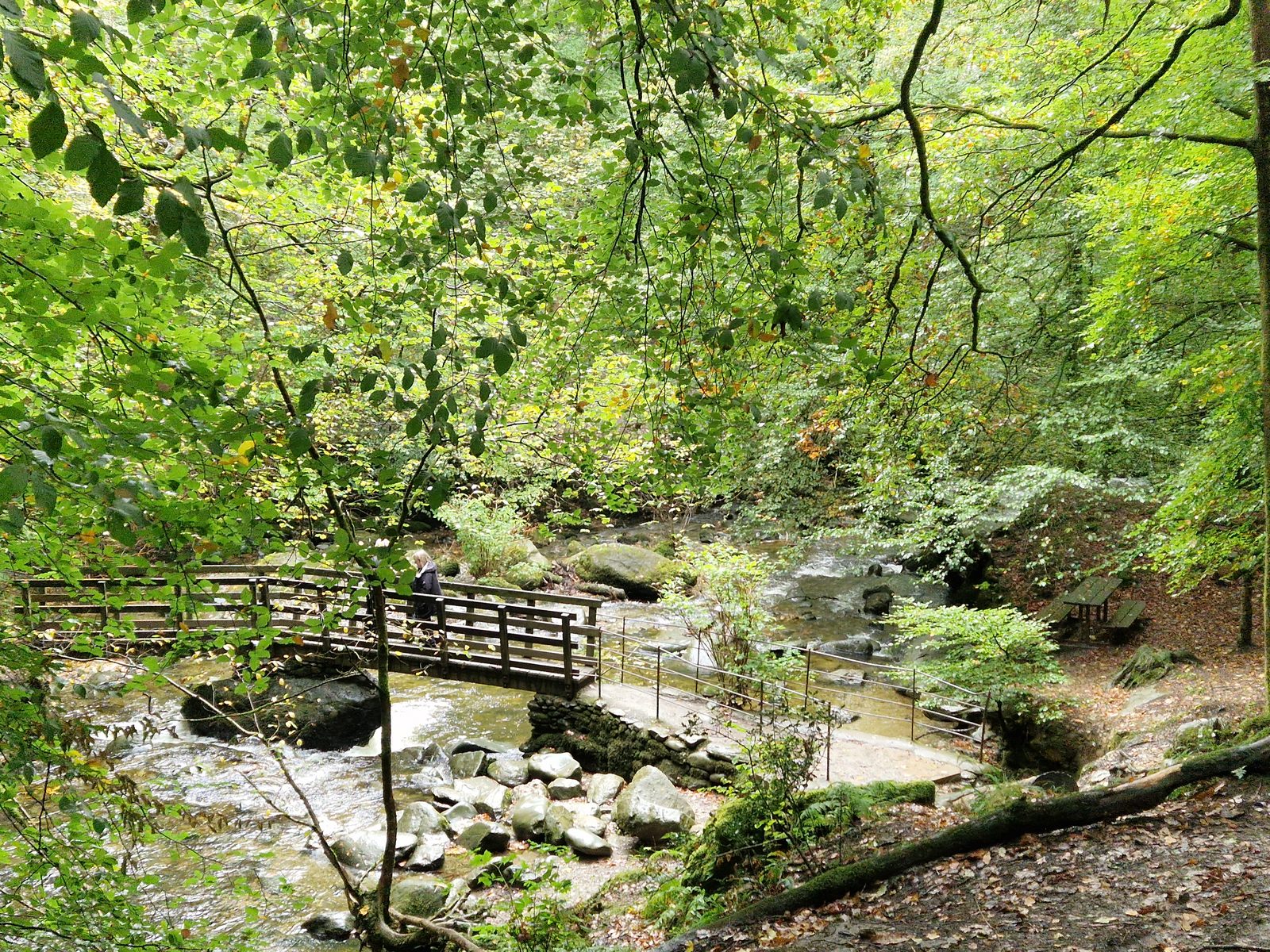
A little further on you come to a junction that takes you right, back towards the road and up the hill. Don't. Instead, drop down and take the left fork, then go up the left-hand side. That takes you to the very top, over another bridge and back onto the right-hand side. At that point you are at the very top of the falls.
The reason is where you finish. The route we were following sent us back down to the bottom of the woods, and published descriptions of the loop run it the other way round, up the right-hand side. Going up the left means you end beside both exits, which matters most if you are carrying on up Wansfell Pike. The steps are extremely steep all the way, so go at your own pace.
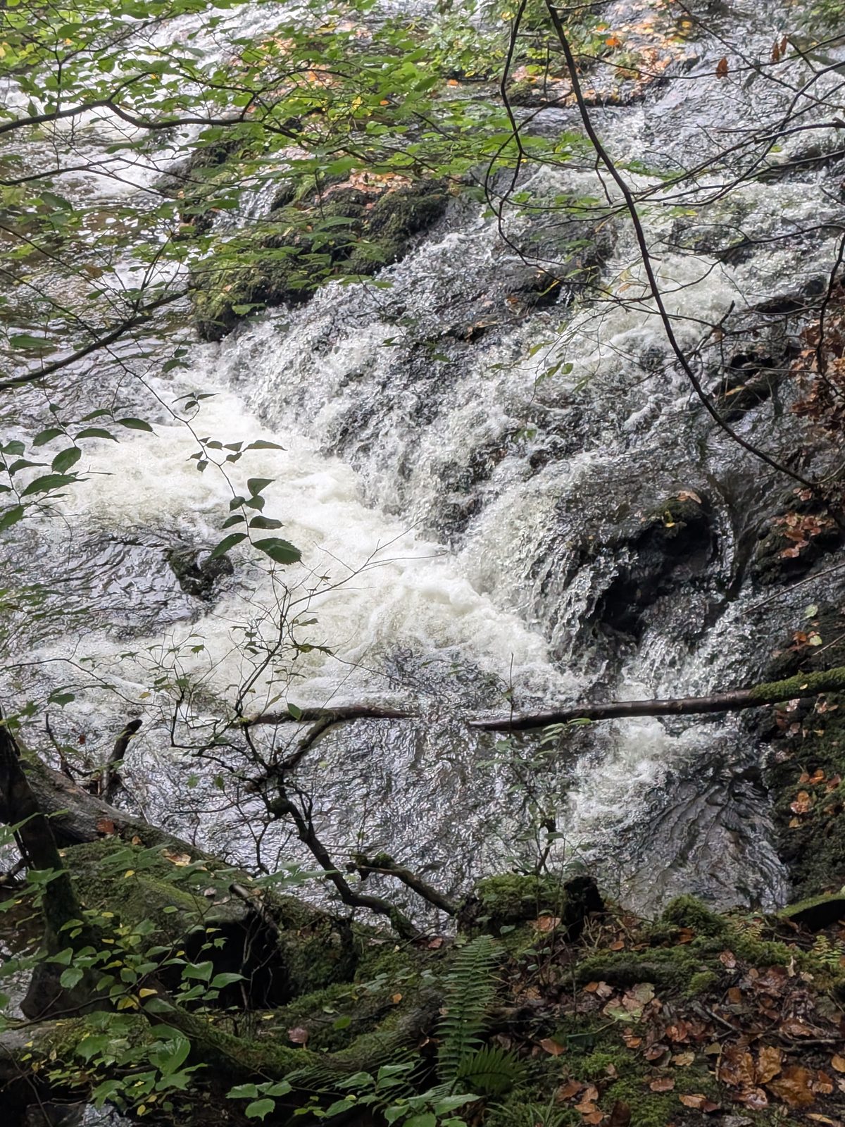
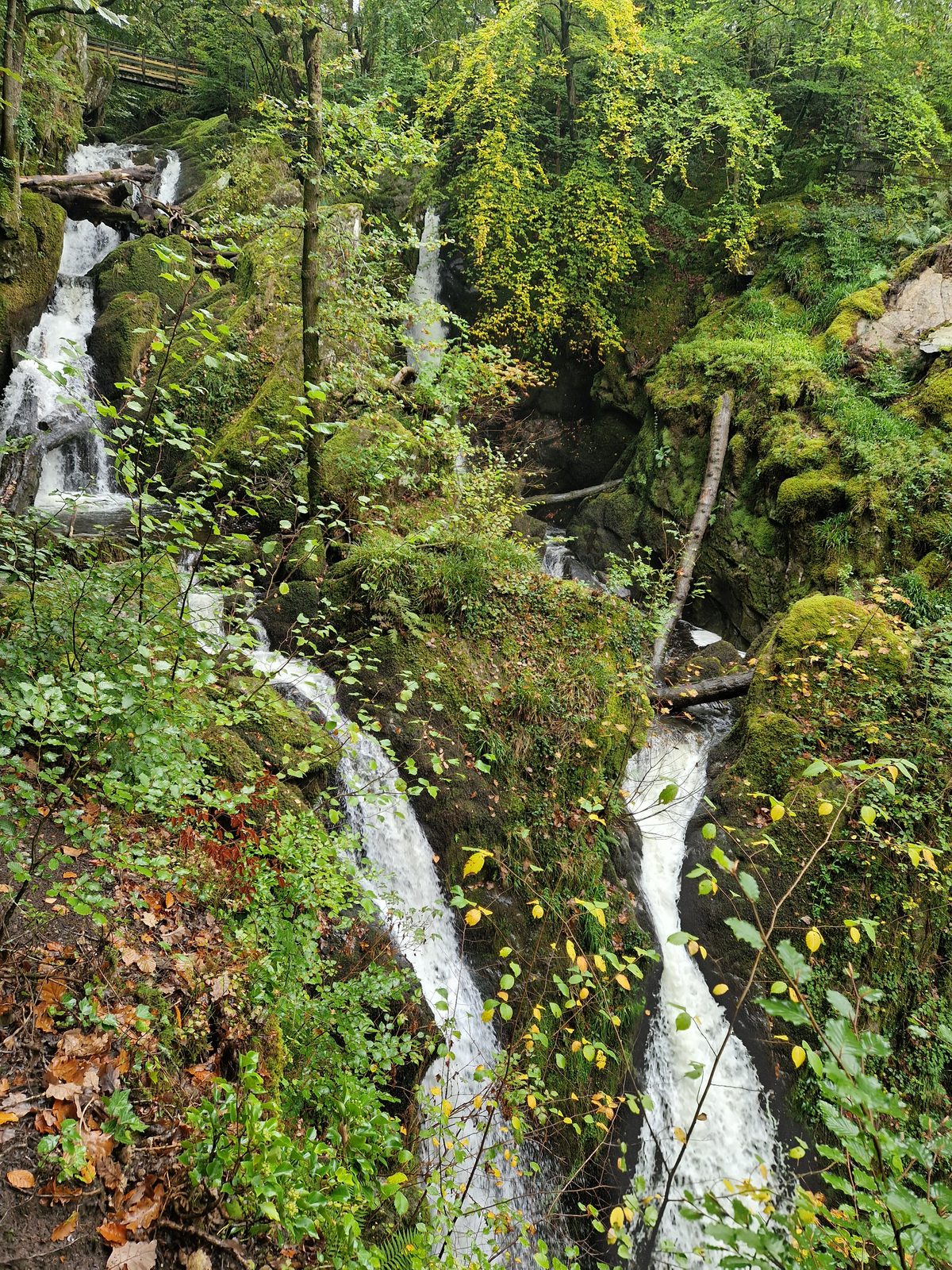
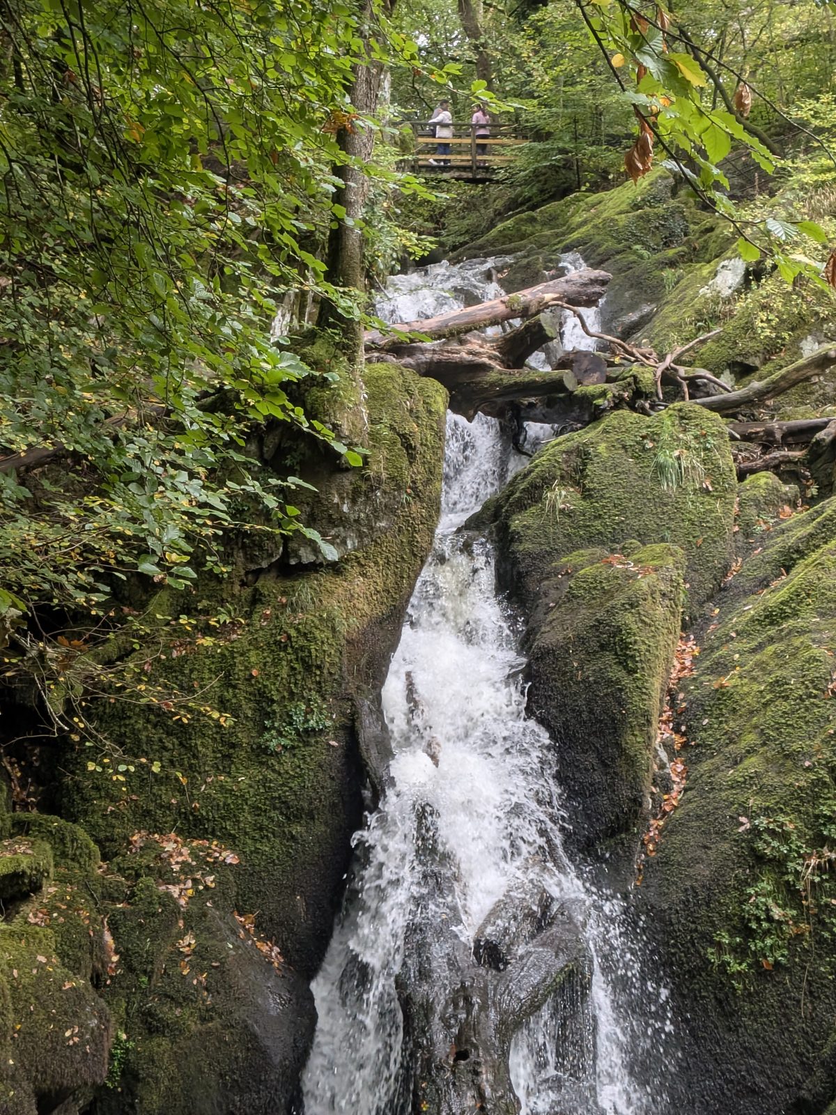
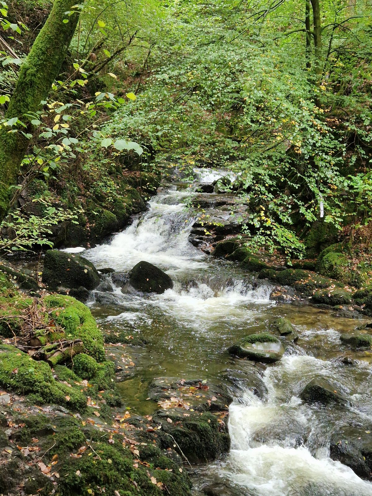
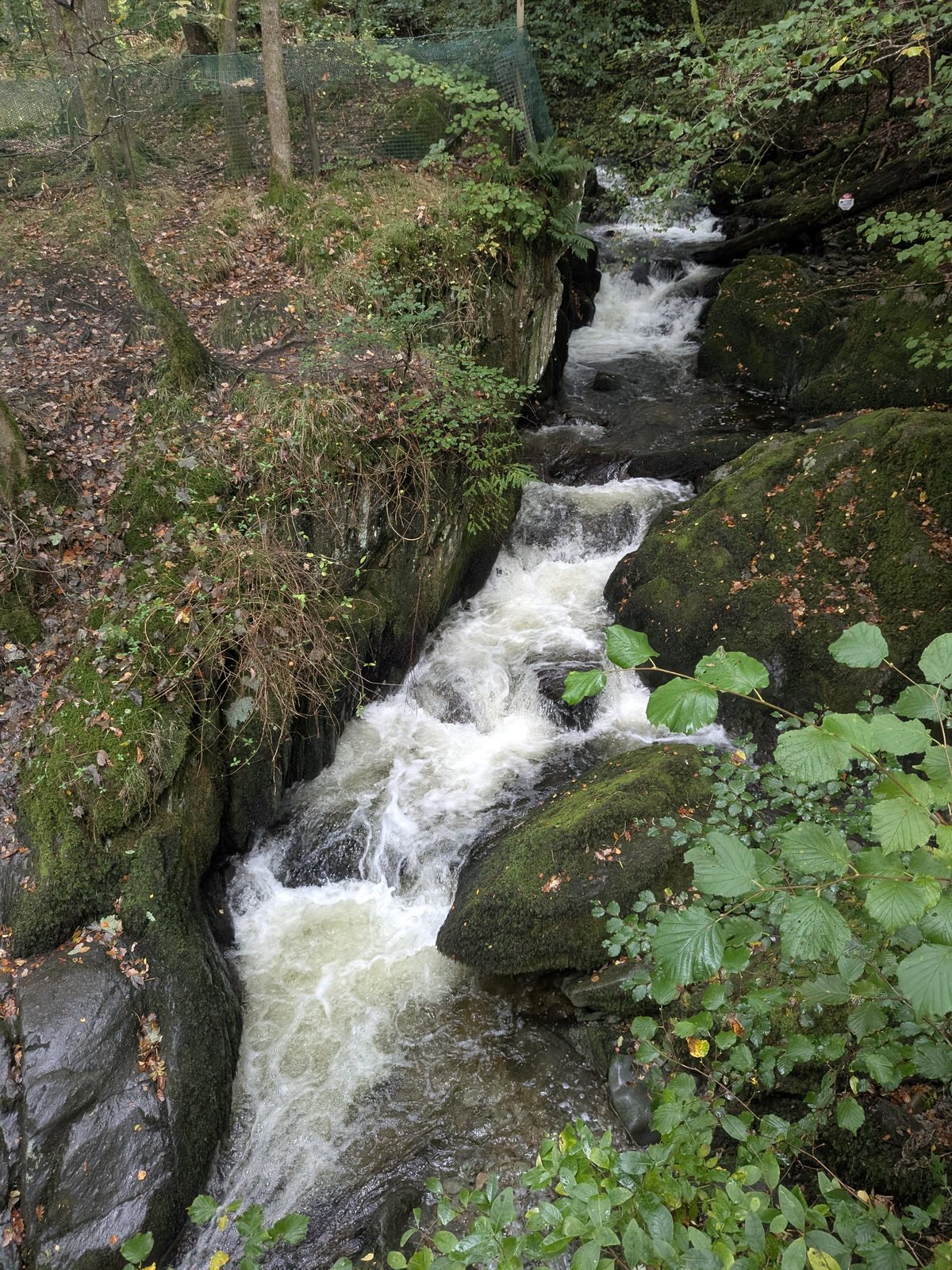
From the viewpoint higher up you look down on the Force: a twin drop, two streams of white water falling through a mossy rocky cleft. Sources vary on the height; roughly 60 to 70 ft over several drops is the usual figure, and we have kept it that loose on our Lake District waterfalls guide. We reached the top viewing point, with its picnic table, at about 14:02, thirty minutes after leaving the Square, photo stops included.
At the top
The route we were following sent us back down to the bottom of the woods and up the main road. I would not. There are two ways out at the viewpoint with the picnic table, and both leave you higher up than you started.
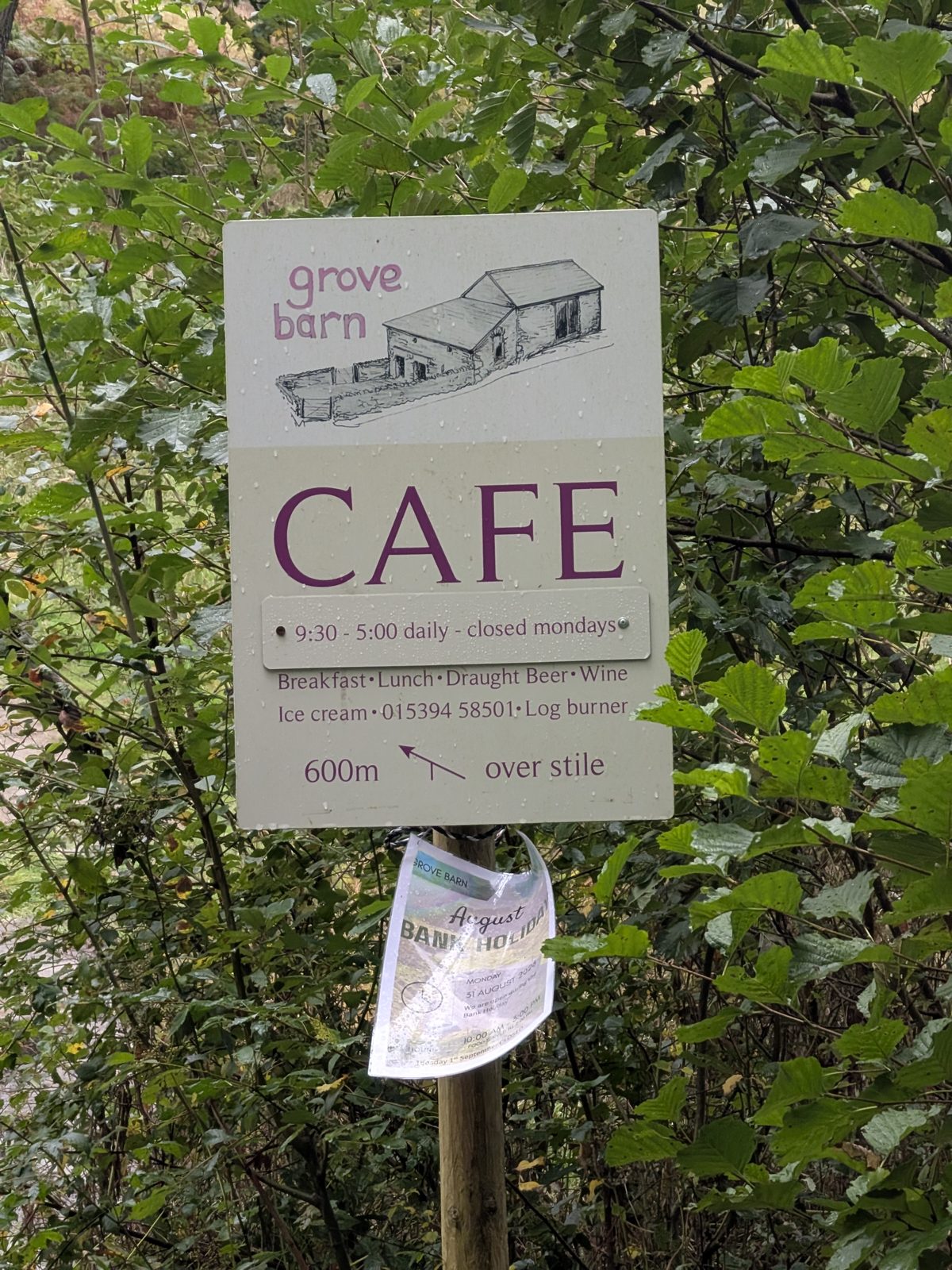
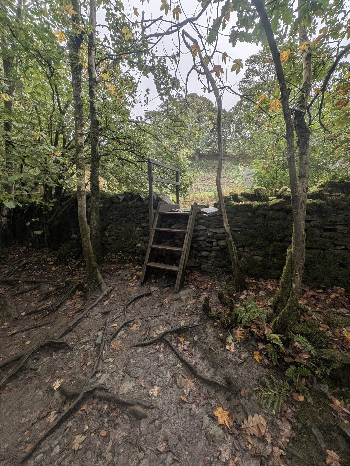
There is a ladder stile over the wall at the top viewing point. A sign there reads “Grove Barn café, 600m, over stile”. Cross the stile, go up the hill and turn left onto the tarmac path. It saves the long way round, and it is how our Wansfell Pike walk went on.
Published descriptions of the walk also describe a revolving iron gate, signed from the picnic bench, that puts you straight onto Stockghyll Lane. It is the signed, standard way out. We did not use it, so I can't tell you more than that.
The sign points to the Grove Barn café, which is trading under that name. We did not go in, so I can't tell you what it is like or when it is open: check before you visit.
Carrying on
The stile is also how our walk carried on. We went over it, up the hill, left onto the tarmac and on up to Wansfell Pike. Our full Wansfell Pike guide picks up from this spot, with the awkward turns pinned. If the steps past the falls put you off, that guide also starts from Waterhead, where the climb is less steep.
Getting there
There is no car park at the falls. You walk up from the middle of Ambleside, so you park in the town. We did not drive for this walk, so the options below come from our Ambleside walks guide: check the signs on the day.
Ambleside's pay and display car park on the A591 above the town, or the laybys on Stockghyll Lane, which are signed for a parking disc and a time limit. Read the sign before you leave the car.
Waterhead car park (LA22 0ES) is the pay car park by the lake, a walk from the middle of town. See our Ambleside Roman Fort guide.
What we did: out of the Square to the right, up the road past the Market Hall and down the back lane, then the “To the waterfalls” sign. About ten minutes to the first waterfall. The directions are above.
Bus 555 from Windermere station runs to Ambleside in about 20 minutes, according to our Ambleside guide. Check the Stagecoach timetables before you rely on it.
Swimming and scrambling
A Stockghyll Woods sign by the lane asks for no ghyll scrambling, because of damage to the ancient woodland along the banks of the ghyll. It is a good enough reason to stay on the path.
Stock Ghyll Force is a place to look at, not to get into. If you want to swim, our wild swimming guide lists places that suit it. Cass was on the lead for the whole walk.
Common questions
Keep exploring
The full guide to the town at the bottom of the woods.
Carry on over the stile: which way round, and every awkward turn pinned.
Every fall on the site, with a map and honest access notes.
Another waterfall walk, by Ullswater.