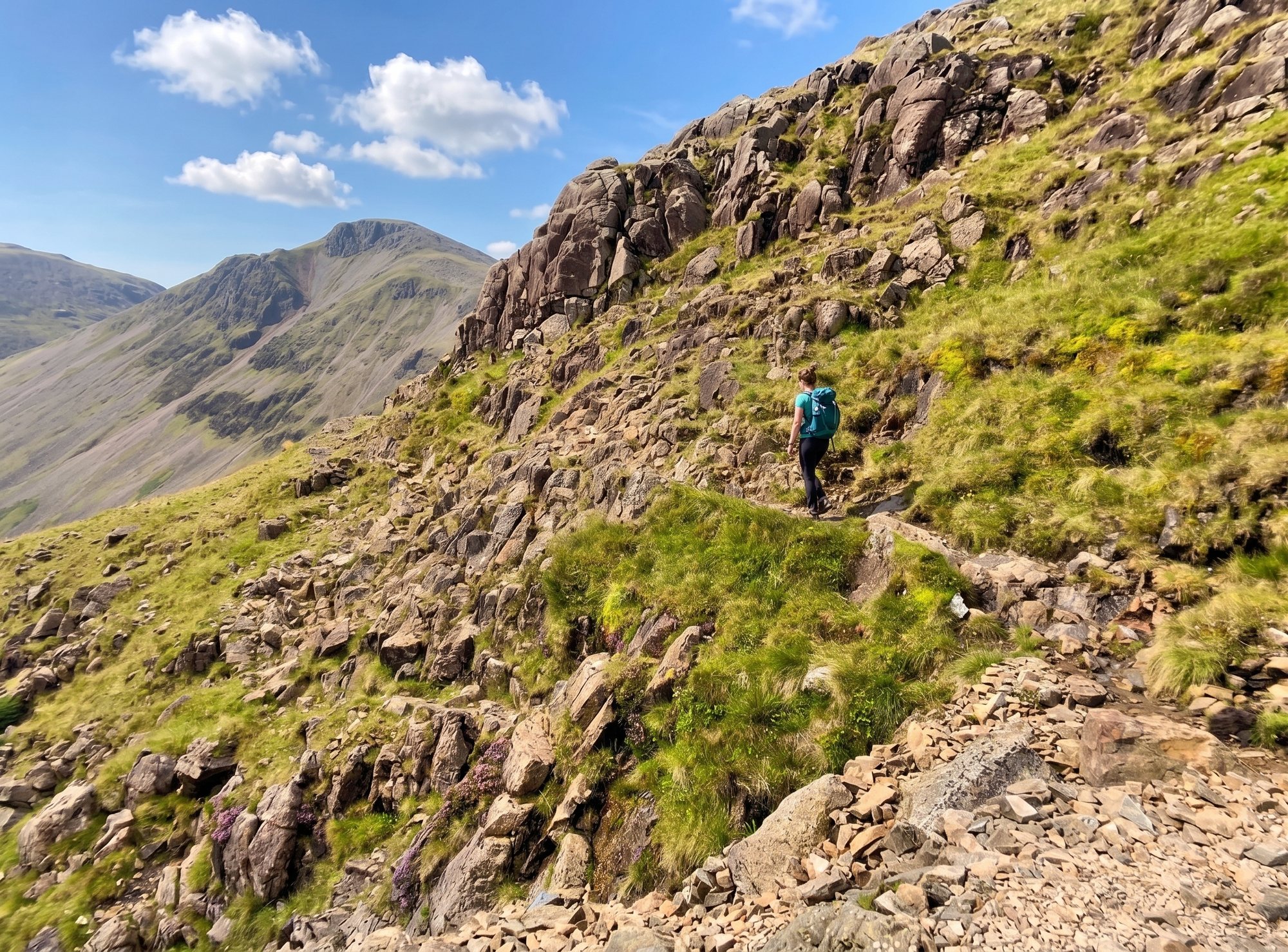
The connoisseur's way up England's highest mountain — from Seathwaite and Sty Head, then the Corridor rising across the flank of Great End. Far finer than the Wasdale motorway, and a serious mountain route that rewards good navigation.
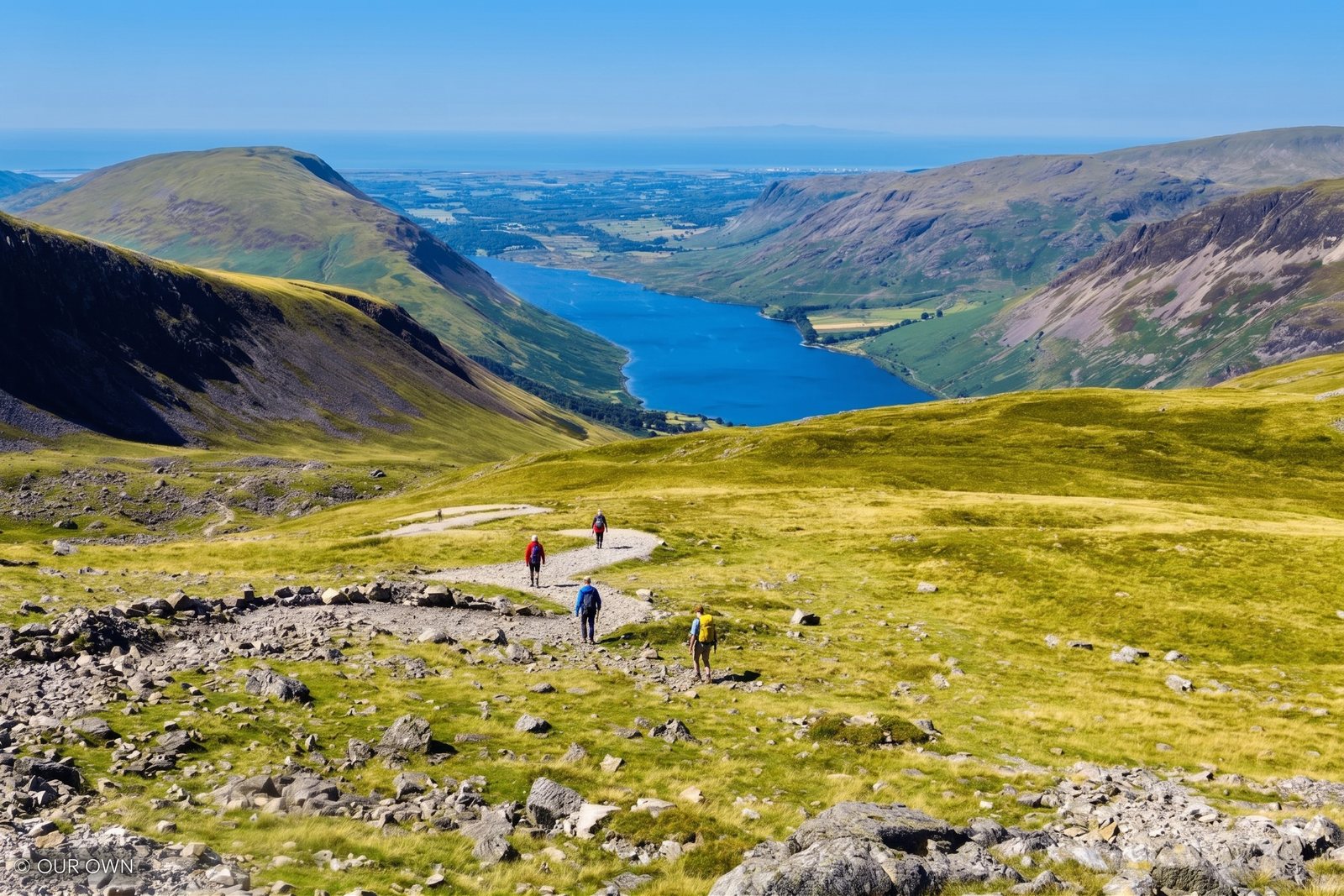
Round from Seathwaite
Typical time
Summit of Scafell Pike
scramble — but serious
The mountaineer's route
The Corridor Route is the classic mountaineer's walk to the summit of Scafell Pike — the connoisseur's alternative to the direct slog from Wasdale. It climbs from Seathwaite in Borrowdale, up past Stockley Bridge and Sty Head, then follows the Corridor: a natural rising shelf across the flank of Great End, threading a line through otherwise craggy ground to join the summit paths.
It is a longer and more serious day than the Wasdale path — around 9 miles round and 5–7 hours — but it is far more rewarding, with dramatic mountain scenery the whole way: the amphitheatre of Sty Head, the crags of Great End, and views across to Great Gable.
It is a walk, not a scramble. But it is a proper mountain route, and in poor visibility — especially on the way down — it demands real navigation. Read the safety note below before you go.
The direct answer
Asked plainly: it is a walkers' route, not a scramble, and in good summer conditions with a map it is a wonderful and safe mountain day. There are a couple of mildly exposed sections and one short, awkward rock-step — nothing that needs climbing skills, and most people barely break stride at it in the dry.
The real hazard is not the ground but the navigation, and it is serious. The route crosses high, complex mountain terrain, and in mist it is genuinely easy to lose the line — particularly on the descent, where the consequences centre on Piers Gill (see below). In cloud, or in winter, this becomes a far more serious proposition than the summer walk.
The route, step by step
1. Seathwaite to Stockley Bridge. From Seathwaite Farm, an easy valley path leads up to the picturesque Stockley Bridge and begins the climb alongside the beck.
2. Up to Sty Head. The path climbs steadily to Sty Head, the great mountain crossroads beneath Great Gable, marked by its stretcher box — a reminder of exactly where you are.
3. The Corridor Route proper. From Sty Head the Corridor branches off and rises across the flank of Great End, threading its natural shelf through the crags. This is the heart of the walk — a couple of mildly exposed steps and one short rock-step, with superb scenery throughout.
4. To the summit. The Corridor joins the main paths near Lingmell Col, and a final rocky pull leads onto Scafell Pike's boulder-strewn summit at 978 m. Take your bearings here before you leave — the descent is where care is needed.
The crux hazard
The Corridor Route passes above Piers Gill — a deep, steep-sided ravine cut into the mountain — and this is the recognised black spot that every guide to the mountain flags. In poor visibility, walkers descending toward Wasdale drift off the correct line and into the ground around the gill, where the situation can become very serious very quickly.
The danger is navigational. In mist the natural fall of the land pulls you the wrong way, and boot-worn paths are not to be trusted here. Take a deliberate compass bearing, follow it over your instinct, and if visibility is poor and you are unsure of your position, stop — do not descend blind into steepening ground.
Always check a mountain forecast first — the Lake District Weatherline fell-top assessment covers this ground — and treat the descent with as much care as the climb.
Logistics
The route starts at Seathwaite Farm, at the very end of the Seathwaite road in Borrowdale, south of Seatoller. For sat-navs and maps the nearest useful postcode gets you to the Borrowdale valley road but not to a car park — rural postcodes cover a wide area here, so aim for Seathwaite, Borrowdale and follow the dead-end lane to its end.
Parking is free roadside verge parking along the farm lane — there is no formal car park, and it fills extremely early on any fine day, after which the lane becomes badly congested. Arrive early, park considerately on the firm verge only, and do not block the lane or field gates. Verify current arrangements before you travel, as access can change.
Can you do it from Wasdale? You can reach the Corridor from Wasdale by climbing to Sty Head first and joining it there — but from the Wasdale side the direct tourist path up Scafell Pike is shorter and more logical. The Corridor is really the Borrowdale way onto the mountain.
A one-page summary — the route from Seathwaite in order, distance, timings, the Seathwaite parking situation, the Piers Gill warning and what to take. Print it for the car or save it to your phone for when the signal drops.
Download the route card (PDF)A different mountain
Everything above describes the Corridor Route in summer conditions. Under snow and ice it becomes a genuine mountaineering undertaking — the exposed steps and the rock-step become serious, the navigation harder, and the consequences of a slip far greater. Winter here needs an ice axe, crampons, and the experience to use them on steep ground.
For most walkers, the Corridor Route is a late-spring-to-autumn objective on a settled day. Check the Lake District Weatherline fell-top assessment, watch the forecast, and be ready to change your plans.
Answered
It is a walkers' route, not a scramble — but it is a serious mountain route and it should be respected. There are a couple of mildly exposed sections and one short awkward rock-step that most people manage without difficulty in dry conditions. The real danger is not the ground but the navigation: in mist, and especially on the descent, walkers drift off line toward Piers Gill, a deep ravine that is a recognised accident black spot. In good visibility with a map it is a wonderful, safe day; in cloud or winter it is a different and much more serious proposition.
Allow 5–7 hours for the round trip from Seathwaite — roughly 9 miles with a lot of ascent. It is longer than the direct Wasdale path, which is the point: it trades distance for far better and more gradual mountain scenery.
At Seathwaite Farm in Borrowdale — the hamlet at the very end of the Seathwaite road, south of Seatoller. Parking is free roadside verge parking on the farm lane; it fills extremely early on fine days and gets chaotic, so arrive early and park considerately. From Seathwaite you walk up to Stockley Bridge and Sty Head before the Corridor Route proper begins.
You can reach the Corridor from Wasdale by walking up to Sty Head first, then joining it — but if you are starting from Wasdale, the direct tourist path up Scafell Pike is shorter and more logical. The Corridor Route is really the Borrowdale/Seathwaite way onto the mountain; that is where it makes sense to start.
No. It is a mountain walk with one short, easy rock-step and a little mild exposure — nothing that needs climbing skills or a rope in normal summer conditions. If you are comfortable on rough, steep hill paths you will be fine on the ground; the challenge is navigation and weather, not scrambling.
Keep exploring
England's highest mountain, 978 m — all the routes, timings and the full safety picture.
Read more
Shares the Sty Head crossroads with the Corridor — the Wasdale pyramid and a superb neighbour.
Read more
Cumbria's dramatic hidden waterfall, on the Seathwaite approach — a short detour from the start of this route.
Read more
Every fell guide we've written, with heights, difficulty and the best route for each.
Read more