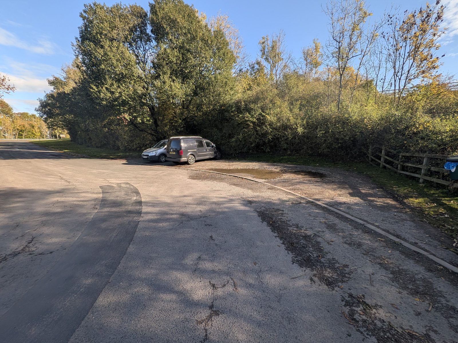
Mayburgh Henge: the one I'd use. A small parking area for six or seven cars at ///opposing.brings.ditching. If you are doing all four places, park here and walk one big circle.
A 4.6-mile circular just south of Penrith. Two prehistoric henges, a fortified hall full of makers, a castle on the river, and the riverside fields back. Where to park, with what3words.
A mile south of Penrith
Eamont Bridge is the village on the A6 just south of Penrith. Within a few hundred metres of each other it has two prehistoric henges: Mayburgh Henge and King Arthur's Round Table. Both are English Heritage sites, both are free, and neither had a queue. About ten minutes at each is plenty.
It is also where, on 12 July 927, the rulers of the north and of Wales met King Athelstan, the meeting usually taken as the founding of England. That story and the plans for its 1,100th anniversary in 2027 have their own page.
From the village we walked out to Brougham Hall, on to Brougham Castle, and back along the riverside fields. 4.6 miles, and just over two hours with stops.
What to wear: trainers are fine in summer and dry spells. Otherwise wear boots, because the riverside fields on the way back get wet.
Where to start
Mayburgh Henge: the one I'd use. A small parking area for six or seven cars at ///opposing.brings.ditching. If you are doing all four places, park here and walk one big circle.
King Arthur's Round Table. There is a layby right outside with room for about three cars, at ///enlarge.terms.commuting. This is where we started.
Starting at the hall or the castle instead. Brougham Hall has a small public car park at the back, and there is an informal spot by Brougham Castle. Both have their own directions and what3words on the Brougham Hall and Brougham Castle pages.
Step by step
Written from the Mayburgh parking. We actually started at King Arthur's Round Table and walked out to Mayburgh and back first; it comes to the same loop.
From the parking, follow the fingerpost up the lane to the gate. Mayburgh is an English Heritage site, free, and open at any reasonable time in daylight.
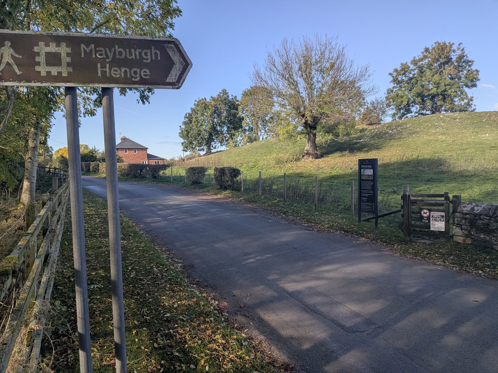
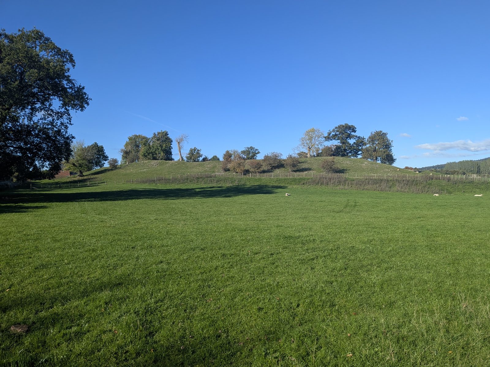
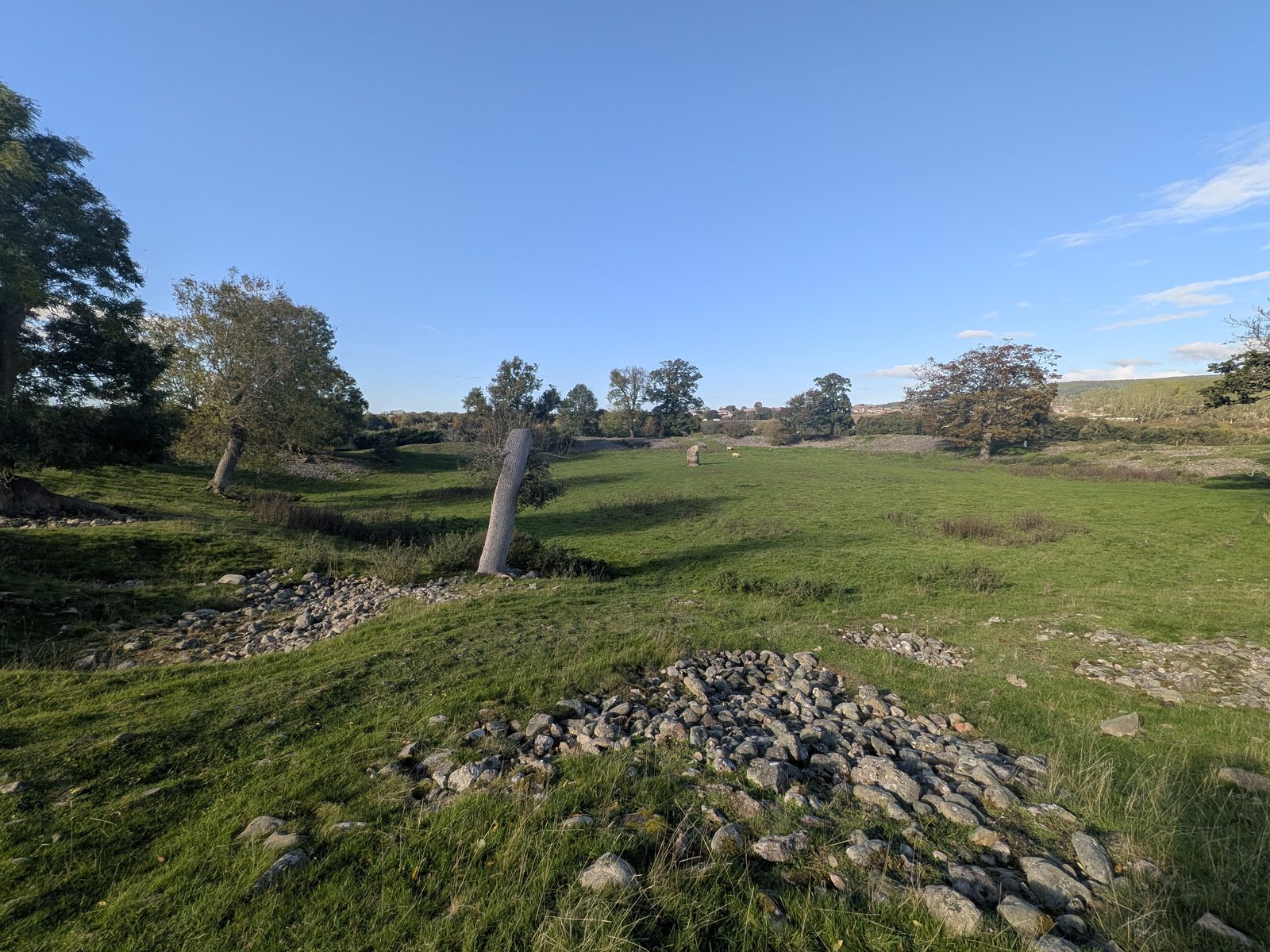
From the lane it looks like a long wooded mound. Go through the gate and you are inside a huge ring, almost 100 metres across. The English Heritage board calls it a massive henge of the late Neolithic period, 3000 to 2000 BC, and English Heritage puts it at about 4,500 years old.
The bank is made of river cobbles. The board says they came from the nearby River Lowther, and English Heritage gives the bank's height as up to about 3 metres. Unusually for a henge, there is no ditch round it. The way in is on the east side.
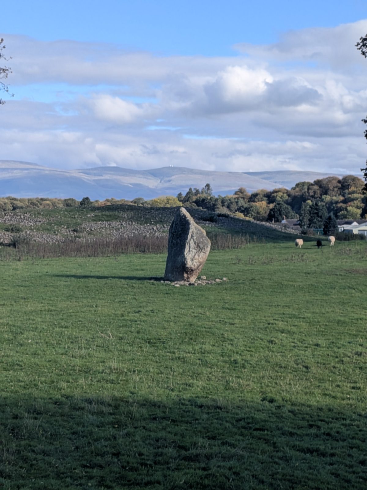
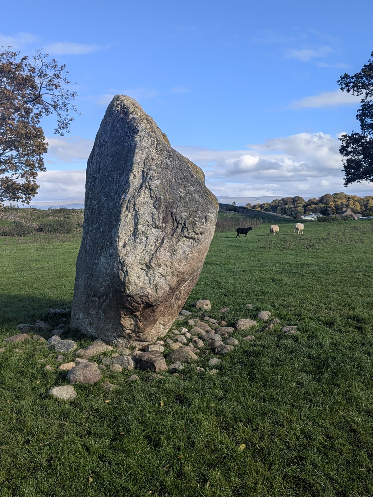
One standing stone is left, a little north-west of the centre and just short of 3 metres tall. In the 18th century there were more: four in the centre, says the board, and English Heritage adds two pairs either side of the entrance. Nobody knows for certain where the rest went. English Heritage says they may have been taken for building stone, and that local legend cursed the labourers who moved them.
The board also says Mayburgh may have been a meeting place for a prehistoric community, part of a complex of three henges in the area.
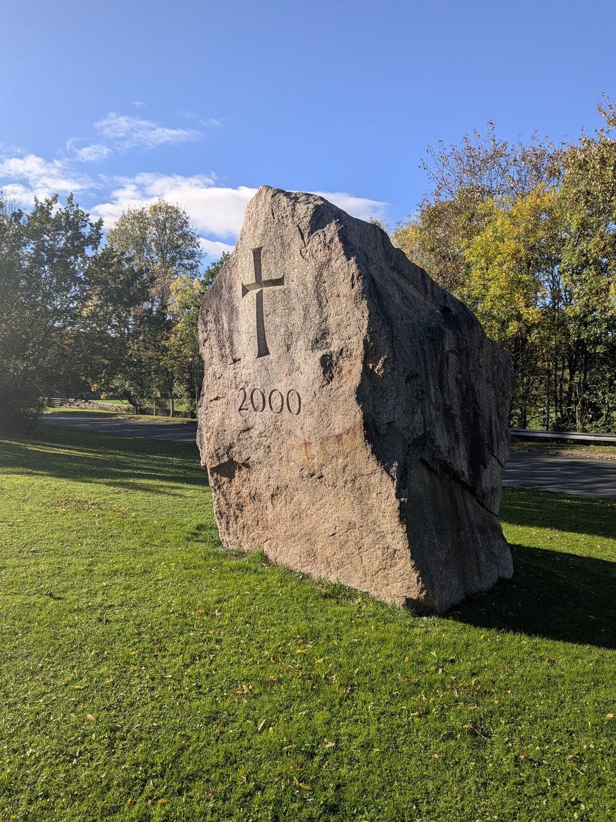
Beside Mayburgh sits a big granite block with a cross and "2000" carved on it. Its plaque says it is a 50-tonne block of Shap granite, dedicated on 2 July 2000 by the Bishop of Penrith. The three carved sides show an Alpha, a Cross with the number 2000, and an Omega.
Back down to the road and on to King Arthur's Round Table, a few hundred metres away. The entrance is at ///enlarge.terms.commuting, with the layby right outside.
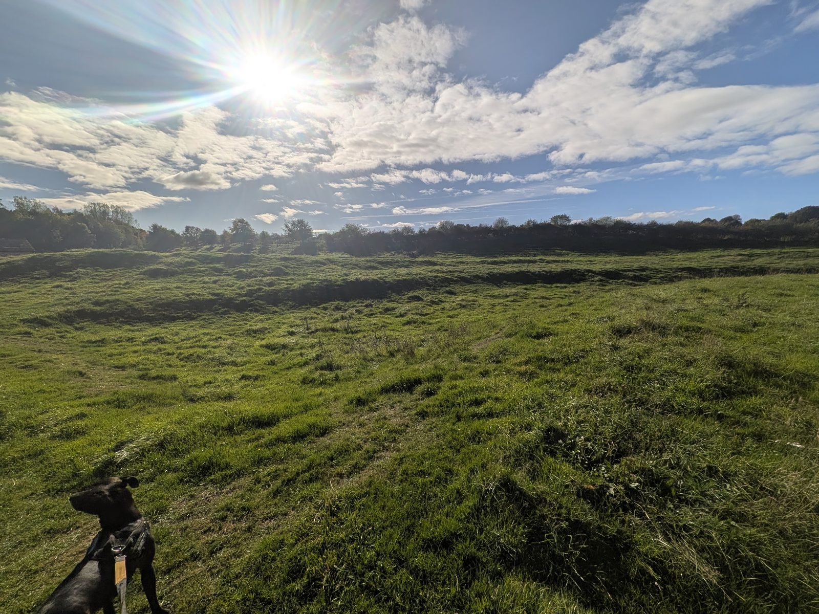
Despite the name, it has nothing to do with King Arthur, and it is a henge, not a stone circle. The English Heritage board says it is a prehistoric monument that probably dates from 2,000 to 1,000 BC.
A wide ditch encloses a flat area with a low circular platform, and beyond the ditch is an earthen bank. There is one entrance, through the bank and ditch on the south-east side. The board says building the modern road destroyed the bank and ditch to the north-west, along with a second entrance. Like Mayburgh, less than 400 metres to the west, it may have been a meeting place for a large prehistoric community.
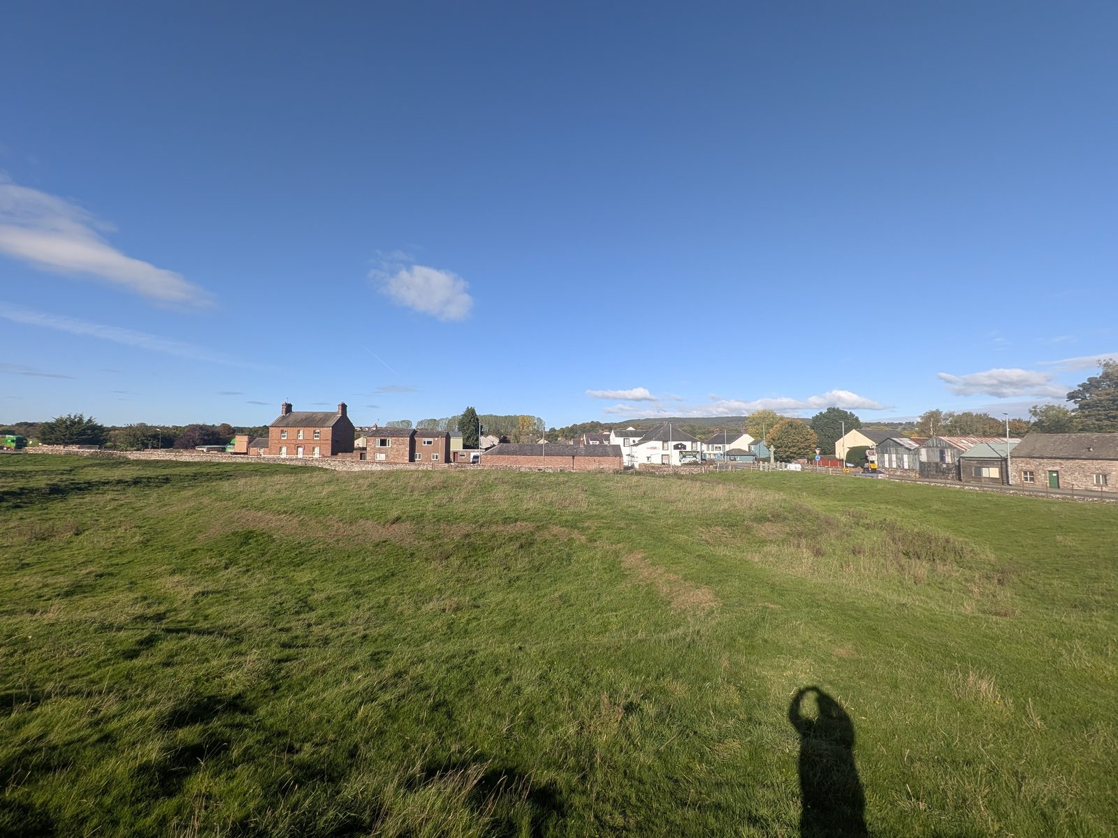
English Heritage says it was excavated in 1937, when evidence turned up for two standing stones at one entrance, and a long, shallow trench near the centre that may be where the dead were cremated. The Arthur name may go back to the 17th century or earlier, when it was thought to be a jousting ground.
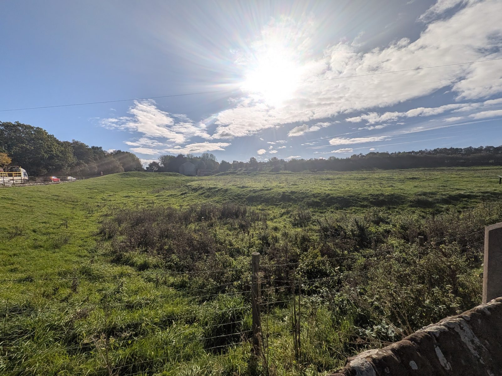
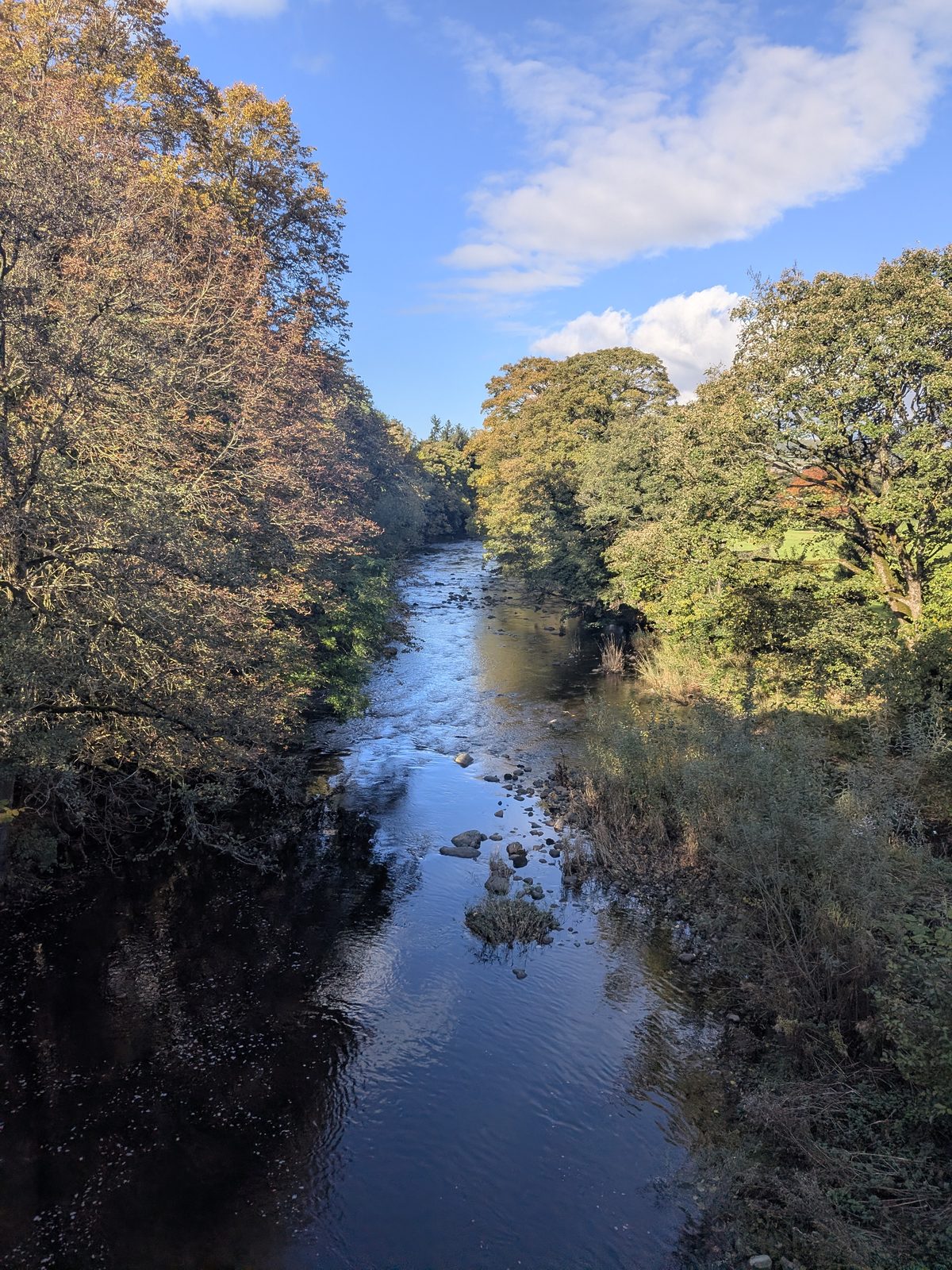
Walk through Eamont Bridge and follow the brown sign for Brougham Hall & Castle. You cross the river on the way out of the village.
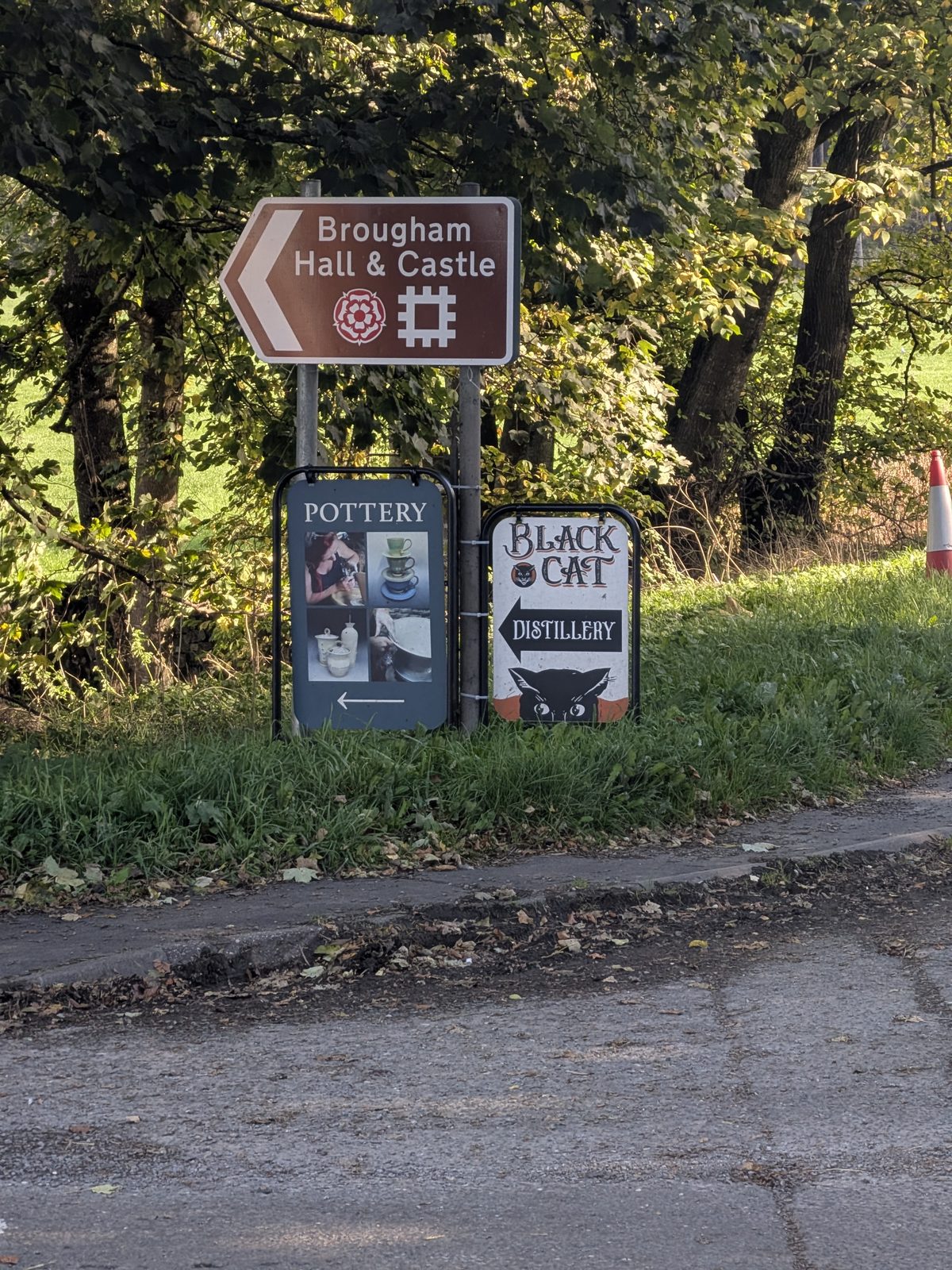
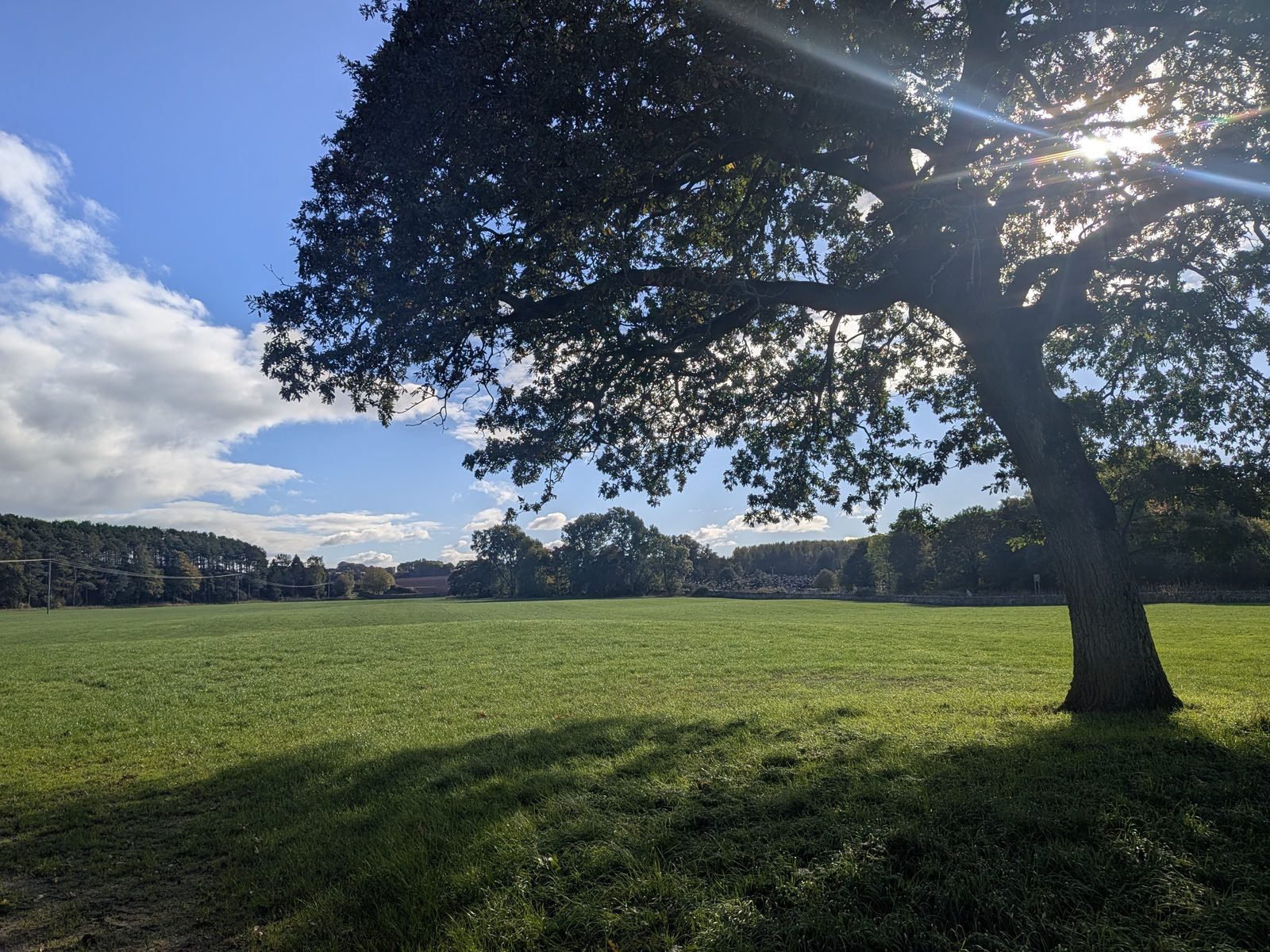
The lane runs between open fields and old oaks, then passes under a stone arch beside the hall's walls.
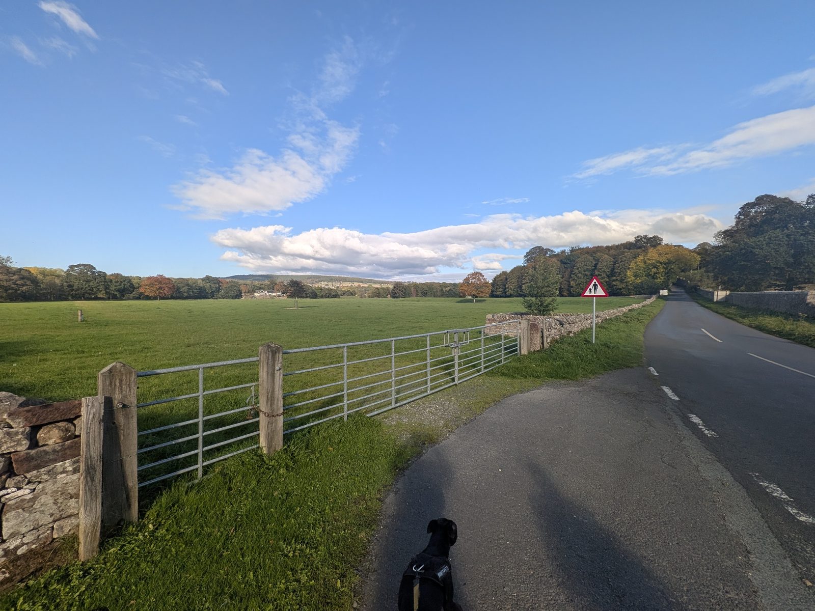
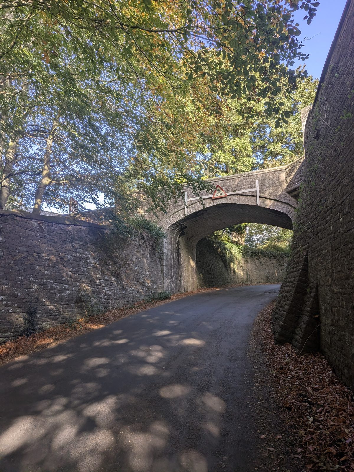
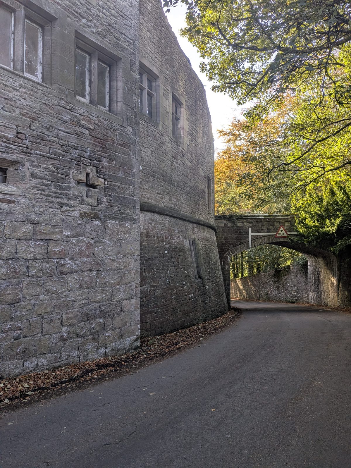
Brougham Hall is free to walk into. Its courtyard is full of makers' workshops, and the Hideaway Café is the obvious stop halfway round. We went in and spent a good while there. The history, the makers and the public car park are on our Brougham Hall guide.
From the hall, follow the signs for Brougham Castle: straight down one road, take a left, and you are at the castle.
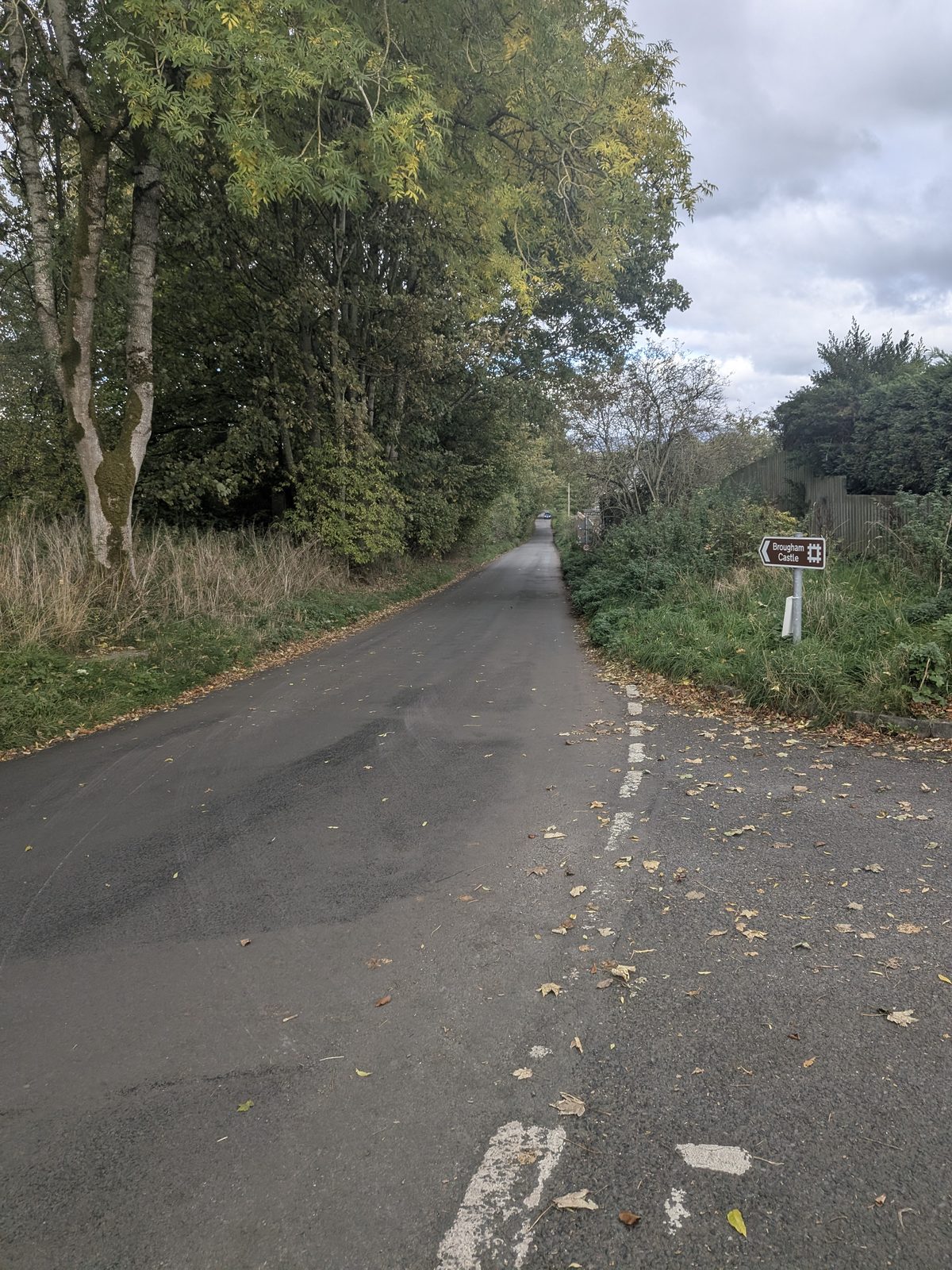
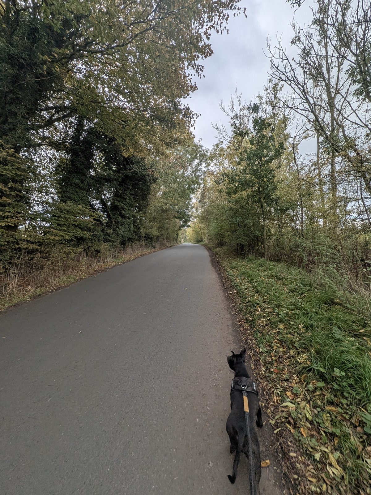
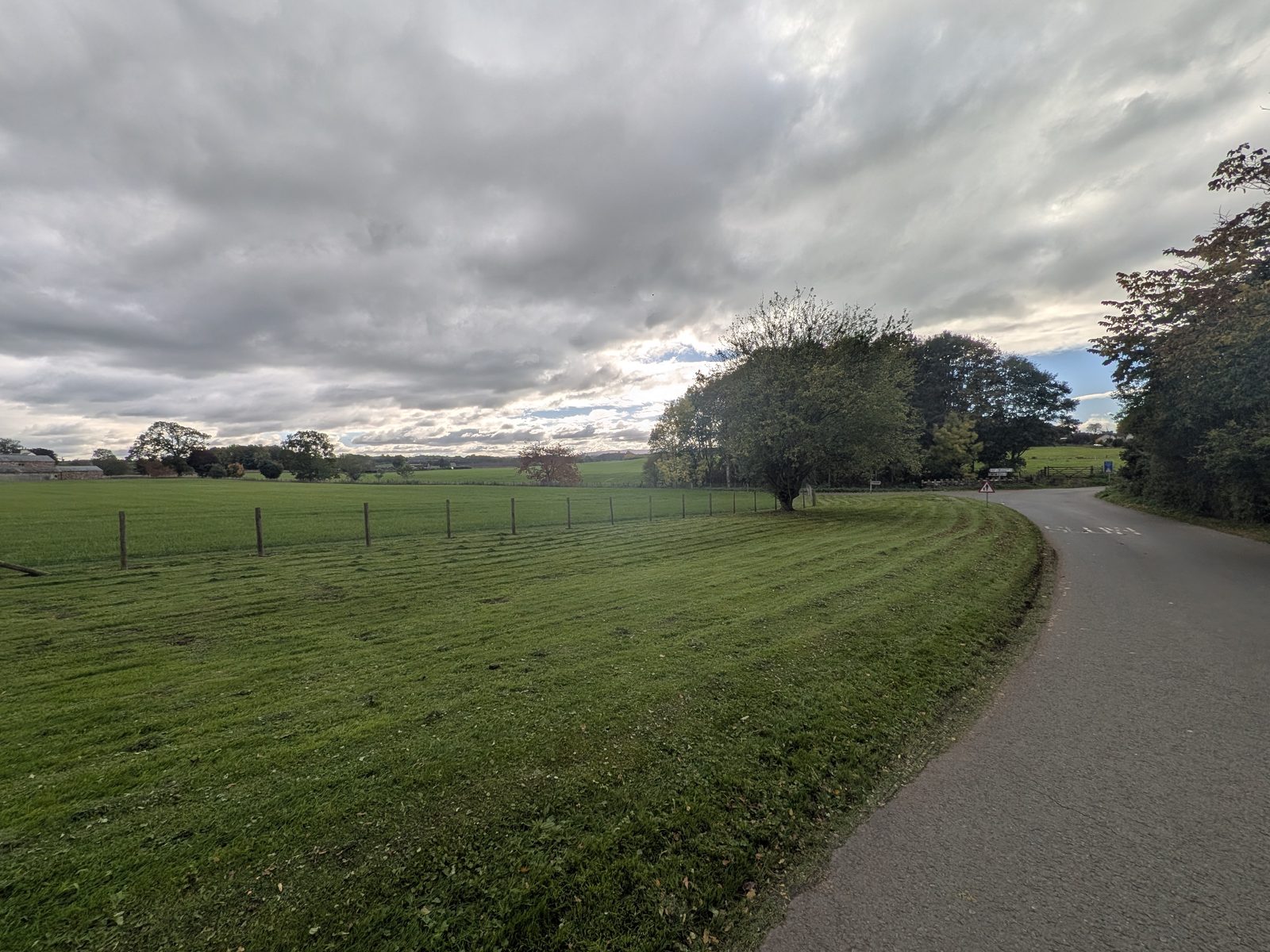
Brougham Castle is the English Heritage ruin on the River Eamont, and the one place on the walk that charges for entry. We have been inside on earlier visits; this time we looked from outside. Its history, the views from the keep and where to park are on our Brougham Castle guide.
Go past the castle, cross the bridge and fork left. Just before the A66 there is a left turn that drops down.
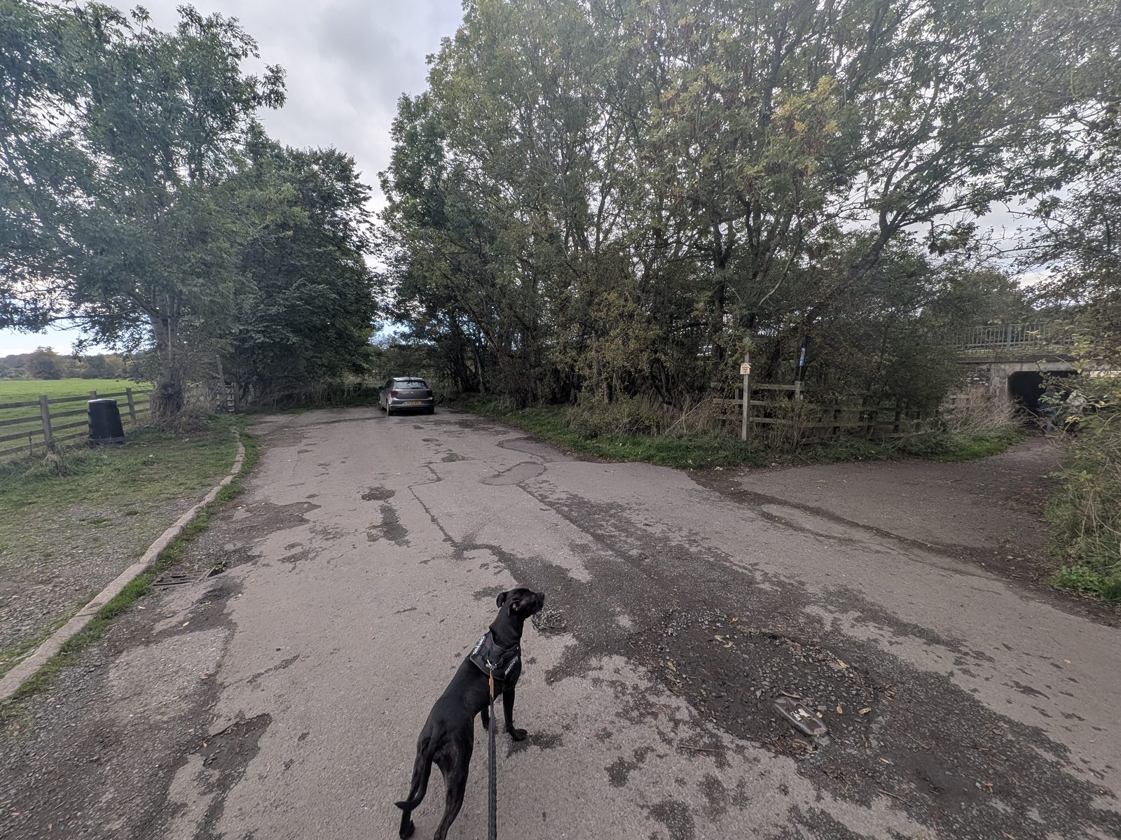
Instead of dropping down, go right under the A66 to Frenchfield playing fields, then up the hill, about 1 km, to The Cross Keys Inn at Carleton. Known for: seasonal, locally sourced food and Sunday roasts. We didn't go in on this walk.
For the main route, turn left into the field. Through the gate you have a choice: straight on down to the river, where there is a small beach (sandy, not stony), or right for the shorter line to the next gate, alongside the A66.
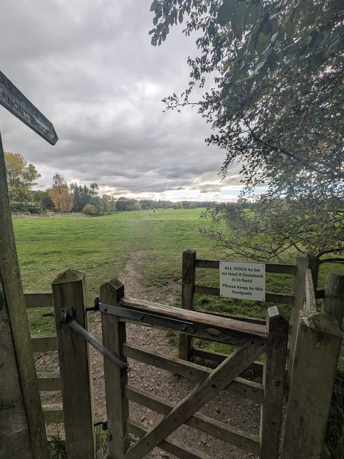
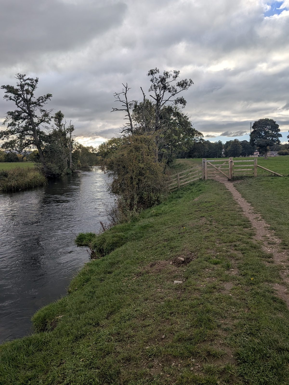
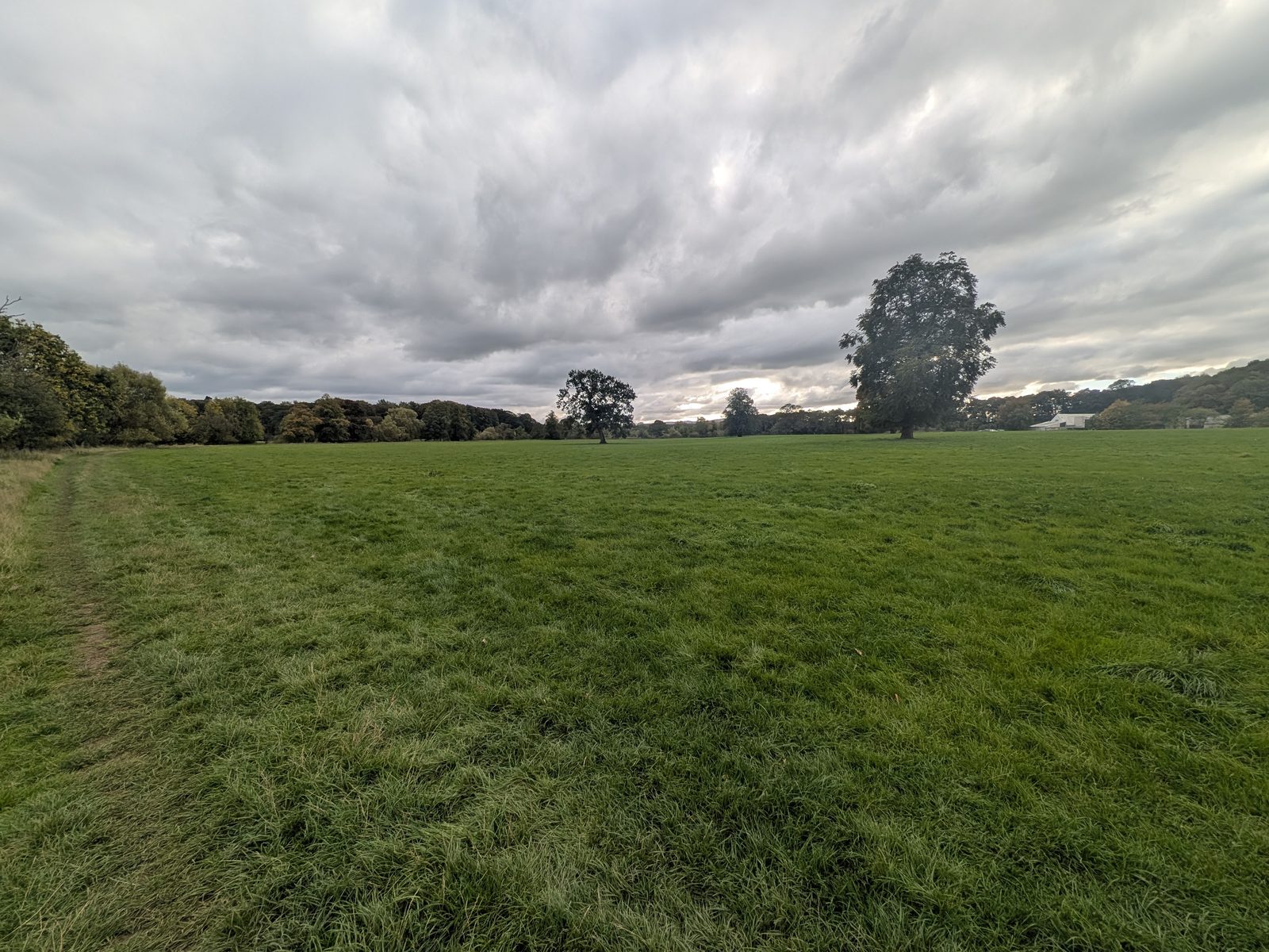
Follow the path along the riverside into the woods. It is a short section, about 50 metres. Go over a stile, then follow the path back to the traffic lights at Eamont Bridge.
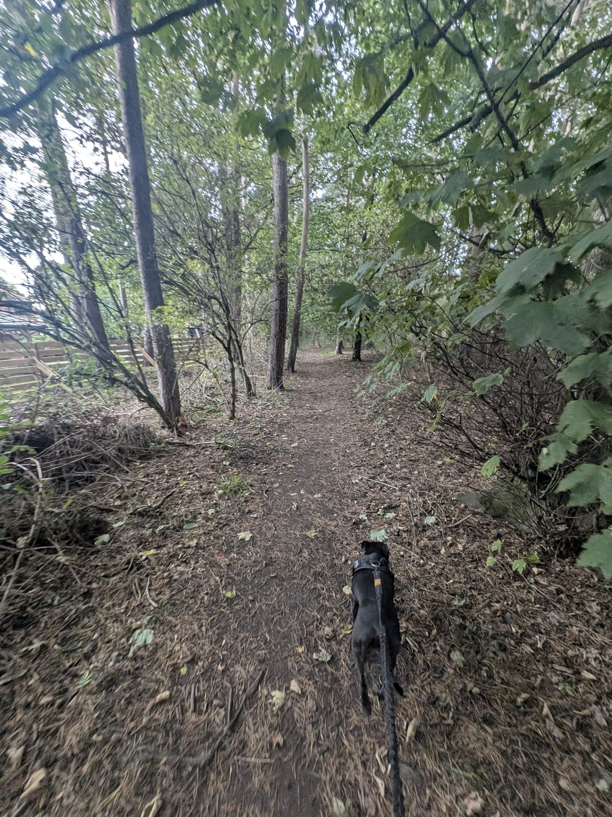
Go over the bridge and straight through Eamont Bridge, back to the car.
The bridge with the traffic lights is Eamont Bridge itself, a humped stone bridge of three arches over the River Eamont. Its Grade I listing says it was probably built in the 15th century and widened later, and it crosses the old county boundary between Cumberland and Westmorland. It is still too narrow for two lanes, which is why the lights are there.
The village is best known for something much older: the meeting of kings in 927. More on that below.
England's birthday
On 12 July 927 the rulers of the north and of Wales met King Athelstan at Eamont, and the meeting is generally seen as the founding of England. Nobody knows the exact spot, but both henges on this walk and the Roman fort by Brougham Castle are among the possible sites. The 1,100th anniversary festival runs from 10 to 12 July 2027.
Eamont Bridge and the birth of England has the full story, the possible meeting places and the festival programme.
Livestock
On our visit a farmer's sign at the Mayburgh entrance said no dogs, because there were sheep in the field. English Heritage's own board says dogs on leads unless livestock is present, and there often is. Follow the sign on the day. Cass, our Staffordshire Bull Terrier, didn't go in.
Everywhere else Cass was on the lead, and the gate into the riverside fields has its own sign about dogs on leads.
Where we stopped
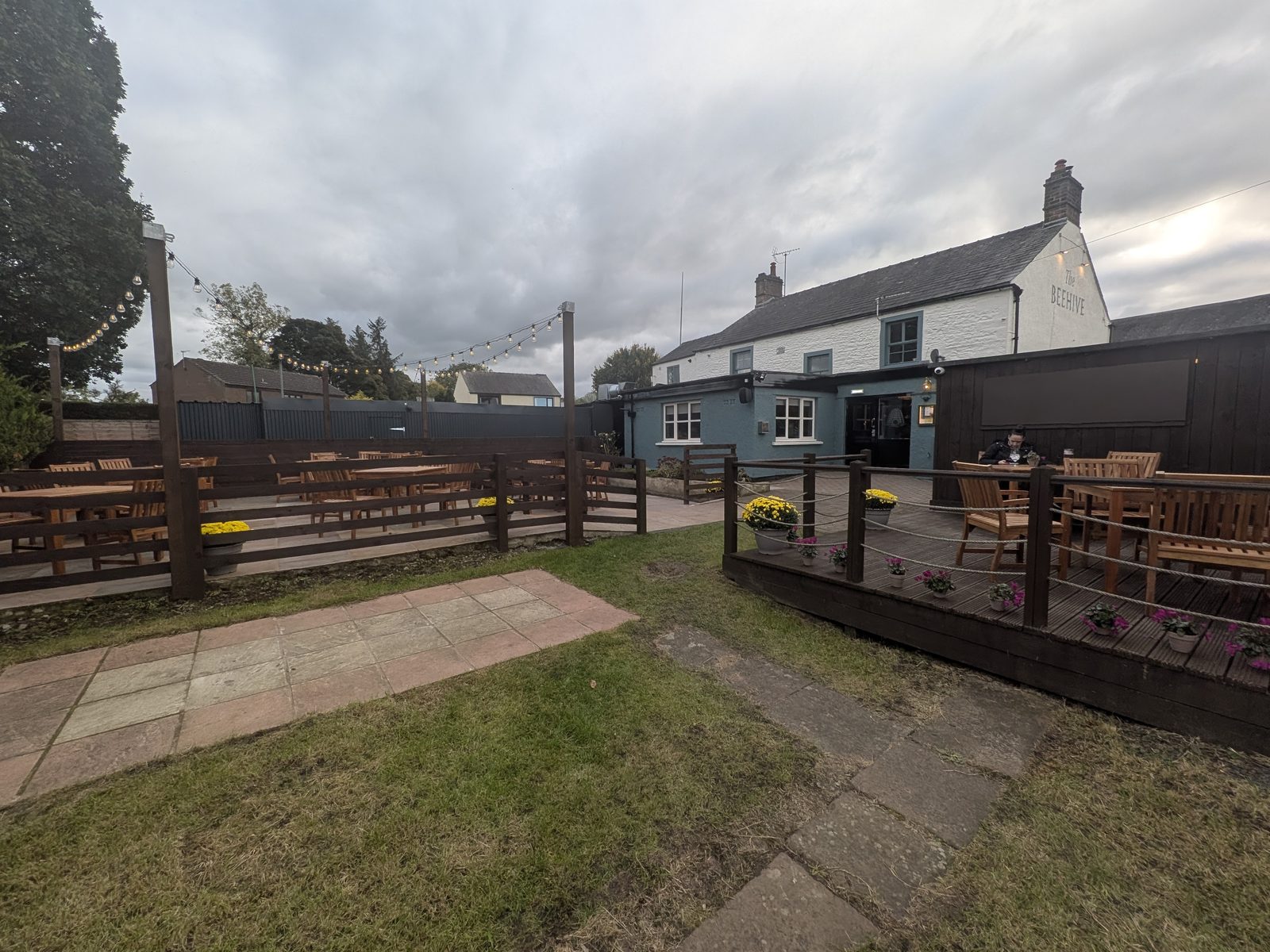
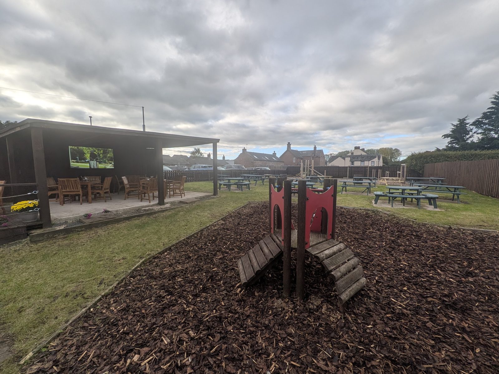
We finished at The Beehive in Eamont Bridge. It has been refurbished recently. There is a big outdoor seating area, part of it covered with a TV on the wall, plus a kids' play area, and they do food.
The honest verdict
Yes. You get four places in one easy afternoon, a mile from Penrith. The henges are the oldest things on the walk by thousands of years, and the hall and the castle each deserve a visit of their own.
The henges are quick, so don't expect a long visit at either. Park at Mayburgh, and leave the most time for Brougham Hall.
Good to know
Keep exploring
The fortified hall halfway round: its history, the makers in the courtyard and the café.
The English Heritage castle on the River Eamont, and where to park for it.
The Beacon, the Eamont Way and more walks from town.
The castle ruins and gardens a few miles south.